
Start: Oklahoma City
Lunch: Dodge City/Billy Sims BBQ
End: Holyoke, CO
627 miles
SPC Mesoscale Discussion 682 SPC Mesoscale Discussion 683
SPC Mesoscale Discussion 687 SPC Mesoscale Discussion 689
SPC Mesoscale Discussion 691 SPC Mesoscale Discussion 693
SPC Mesoscale Discussion 694 SPC Mesoscale Discussion 695
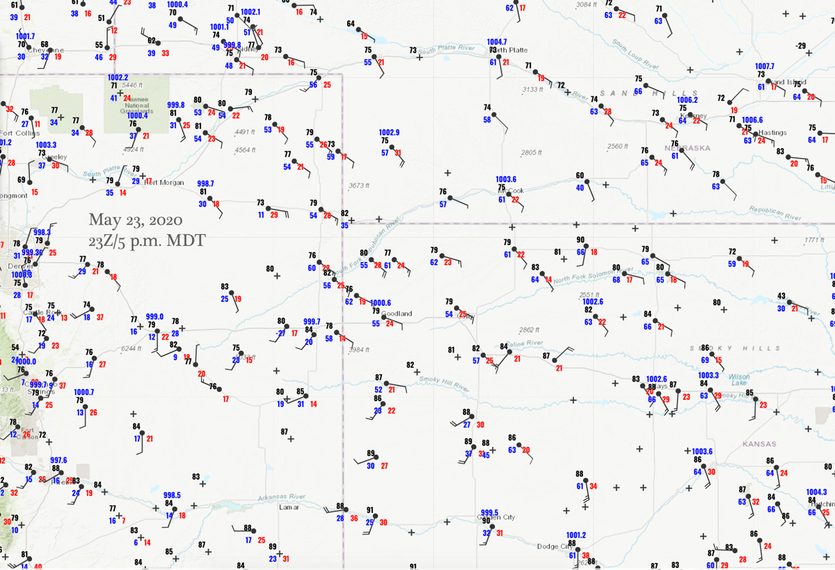
23Z Surface Map
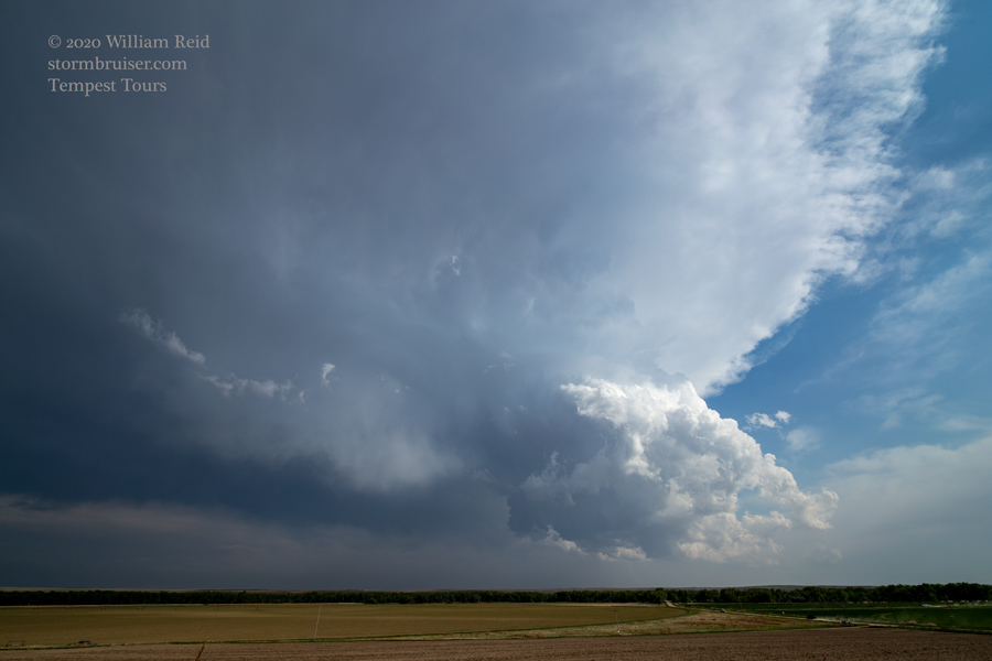
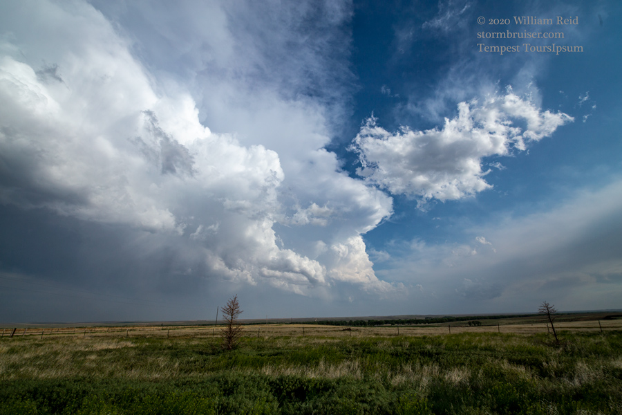
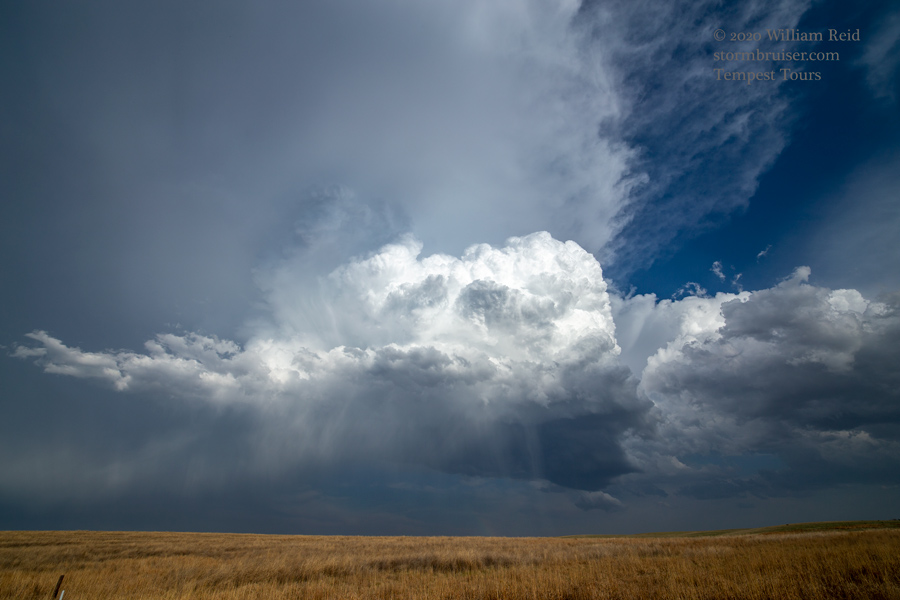
Tour 4 started today in Oklahoma City. We hit the road somewhat early in order to get up towards northwest Kansas. SPC showed only a marginal risk of severe here, with slight risks north and south on the High Plains. However, extreme northwest Kansas was just northeast of a surface low and triple point, with moist ESE winds piling up against the CO/KS border. Could we get a nice storm here? It was worth a shot. The models were waffling on the notion. As we neared Cheyenne County and Saint Francis, SPC issued a tornado watch for this target area. It was rather odd to have this smallish High Plains Tornado Watch sandwiched between the slight risk areas and between the 2% tornado risk outlines!
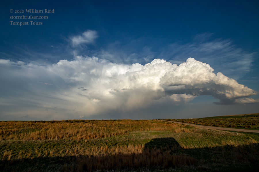
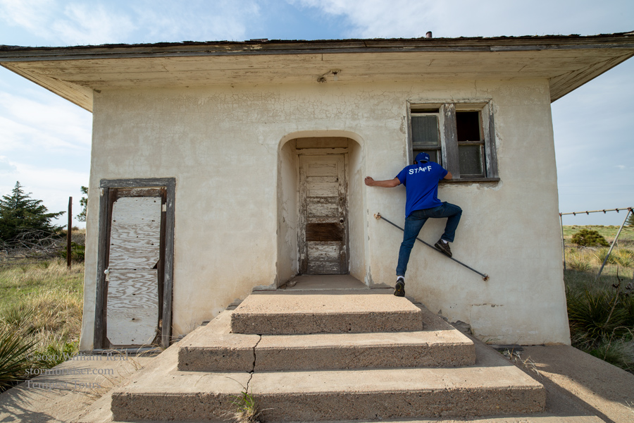
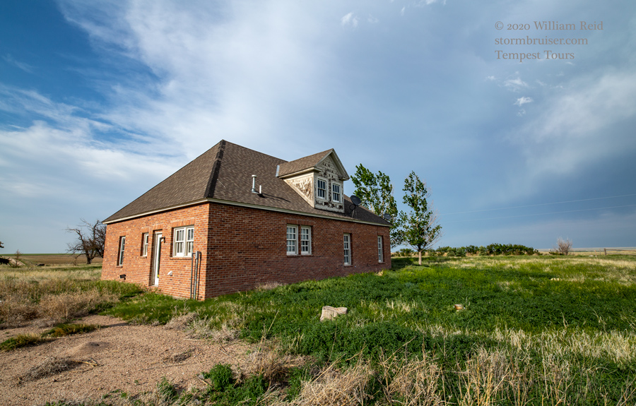
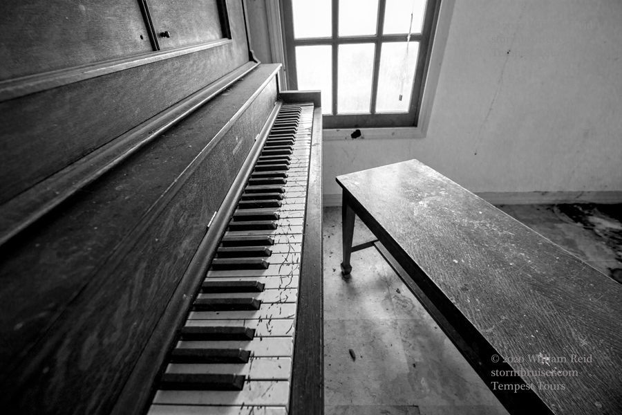
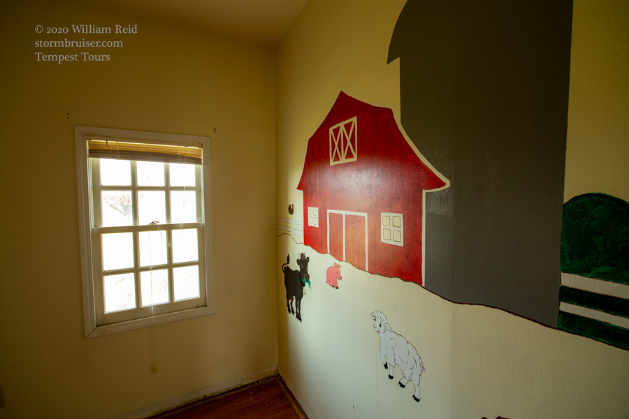
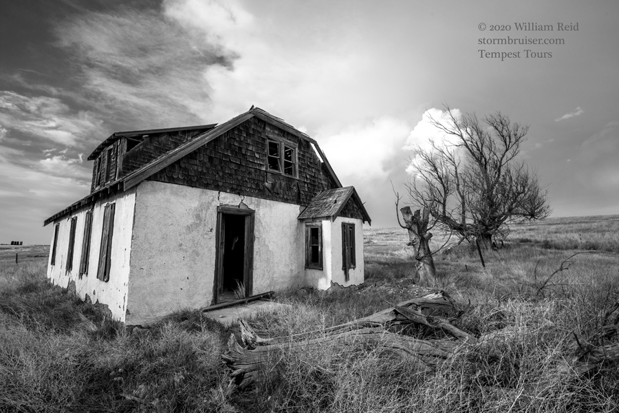
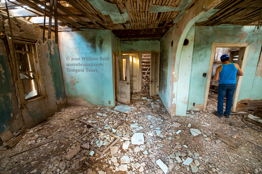
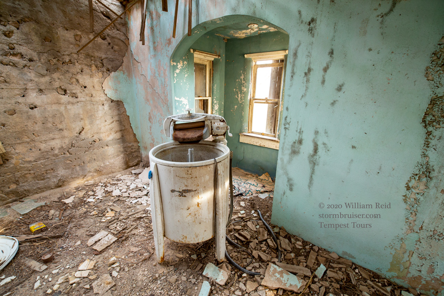
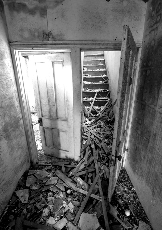
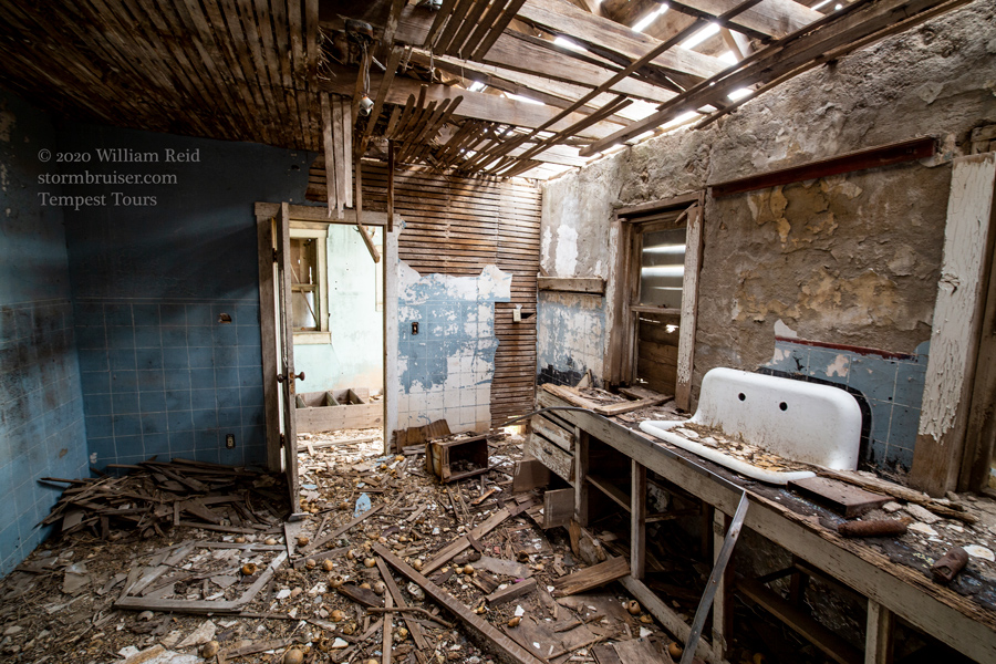
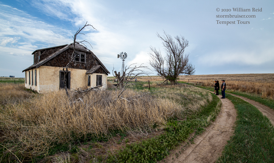
And, right on cue, a tower or two went up on the triple point/convergence area around 5 p.m. We “homed in” on an updraft that was SSW of Saint Francis. It looked kind of “okay” for, um, for about 5 minutes. It remained skinny and weak and it struggled. It did not move much, which gave us plenty of time to poke around an abandoned farmstead or two.
The High Plains Tornado Watches this spring were few, and this rare one was a big dud. The updrafts remained weak and eventually shriveled to nothing. The cap was too strong, apparently. A lot of high cloudiness during the afternoon was likely a big factor leading to sad storm chasers. We wound up trying to salvage something up near Holyoke at sunset, but that stuff was weak, also.

Leave a Reply
You must be logged in to post a comment.