
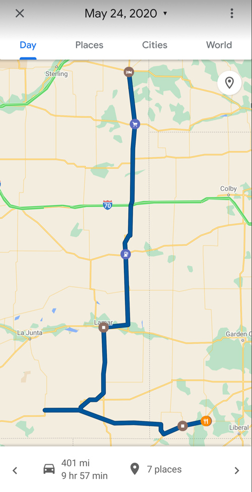
Start: Holyoke, CO
Lunch: Cheyenne Wells/Chesters
End: Hugoton, KS
432 miles
SPC Mesoscale Discussion 705 SPC Mesoscale Discussion 706
SPC Mesoscale Discussion 708 SPC Mesoscale Discussion 711
SPC Mesoscale Discussion 714 SPC Mesoscale Discussion 716
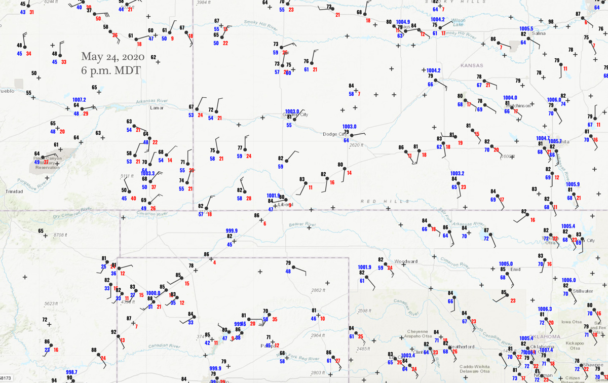
6 p.m. MDT/00Z surface map
SPC showed a slight risk for severe along a front through central Kansas and into the Panhandles. The better hail and tornado risks (only 2% for tornado) were in central KS, from about Dodge to Russell. Dew points would be in the mid 60s and the wind would be nicely backed by late afternoon. So, I elected to play the post-frontal upslope regime in extreme southeastern Colorado (which also had a slight risk). Why there? Well, I think the main reason was that the central Kansas play was just not showing enough of a tornado risk. The overall shear was better in southeastern CO, and perhaps I felt that the KS play would wind up a late and linear junk-fest. I went for the almost “sure-bet” severe storm play, and we ventured west out of Springfield to just north of Kim to watch the first development to our southwest and west.
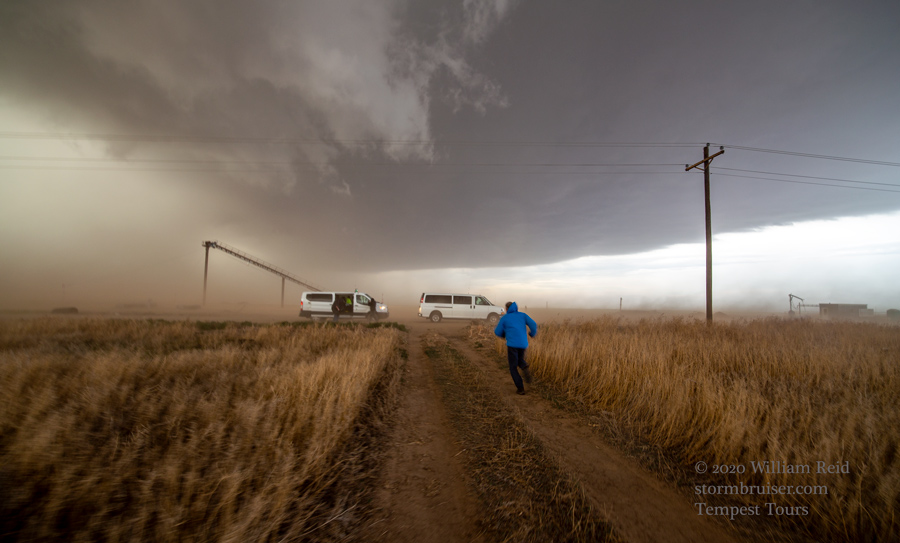
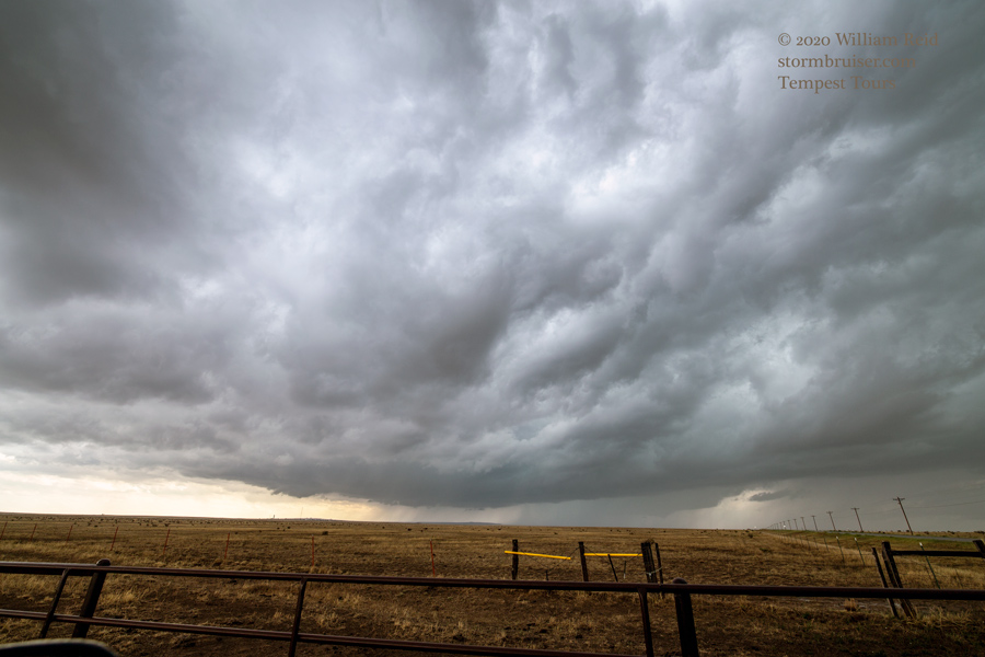
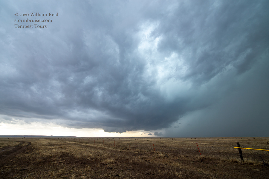
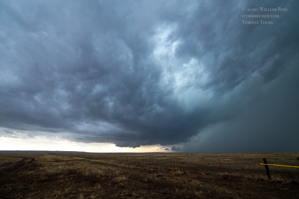
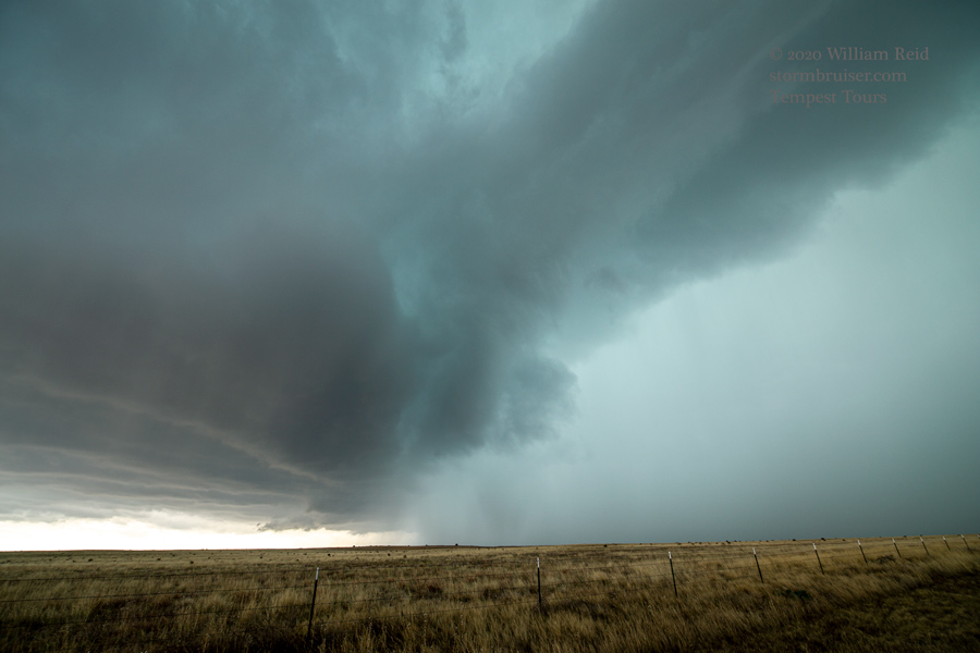
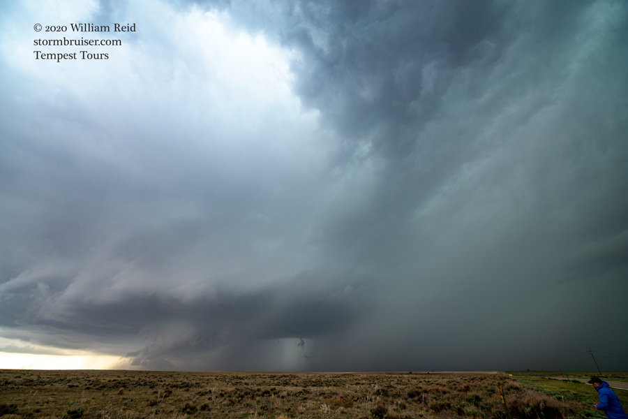
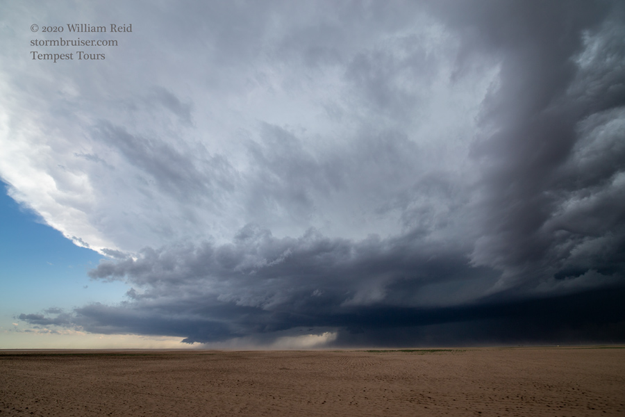
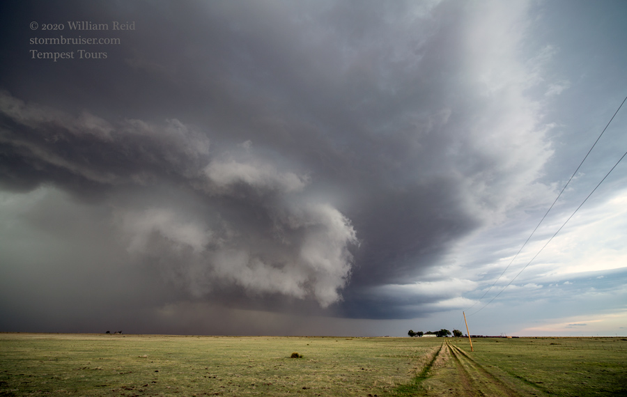
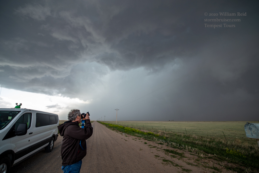
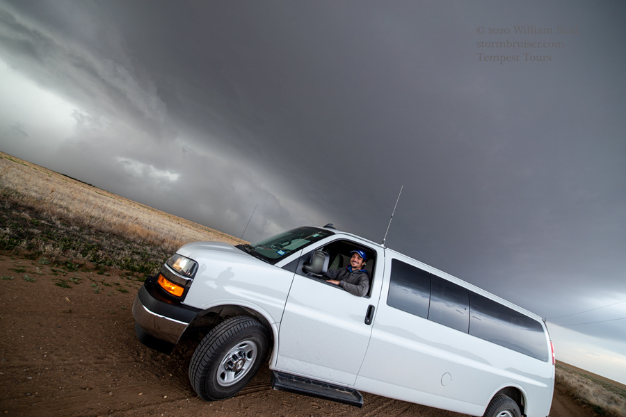
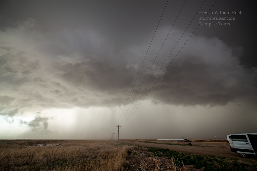
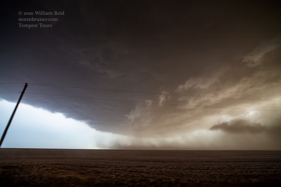
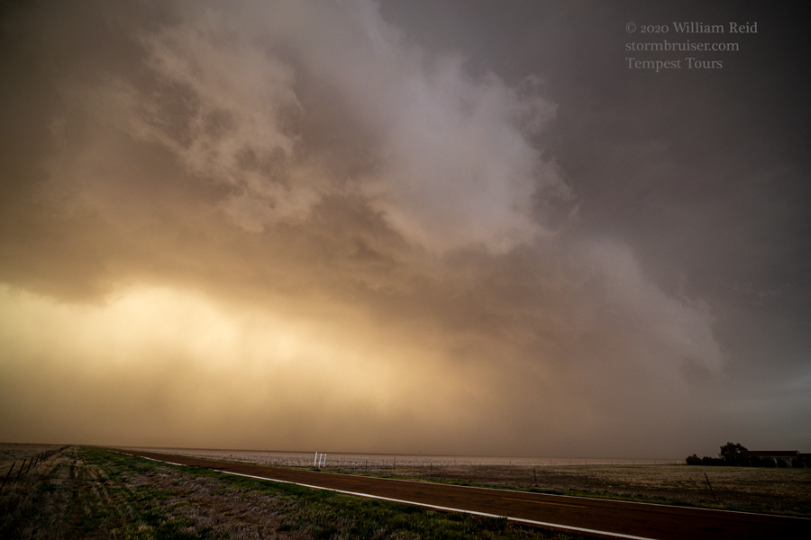
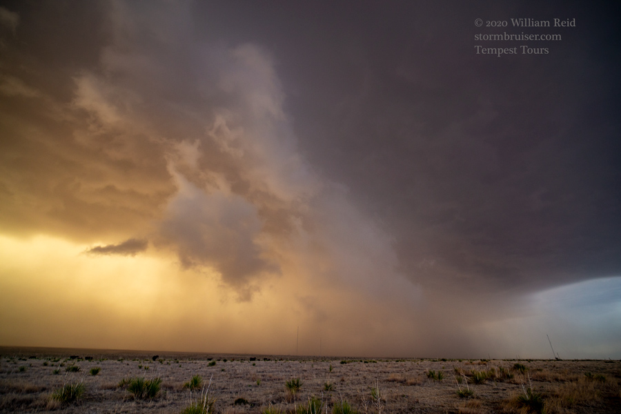
The images below are the first half of the chase, from about Kim to near Campo on U.S. 287 (or extreme eastern Las Animas County and the western half of Baca County, approximately, via 160, Road W, Road 17, and east on Road M). A rotating updraft developed fairly early on, a little south of Kim (to our south). Its base showed a shallow wall could for a bit. It sported additional lowerings, and we permitted it to hail on us along 160. We scooted south a bit to get east of it, along Road M in Baca County. The storm showed good structure and teased us a little more with the lowerings, but it didn’t try REALLY hard to produce a tornado. The NE to NNE low-level flow was not very conducive for that.
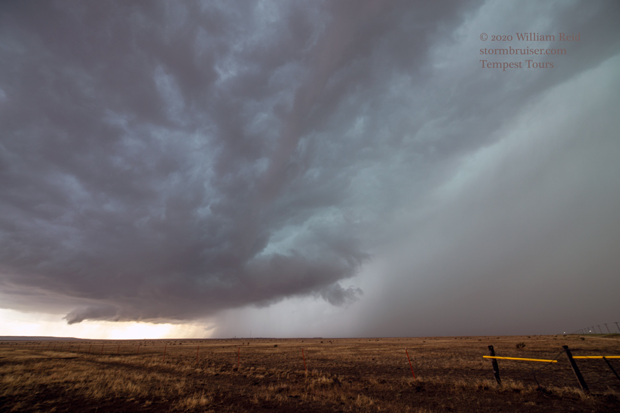
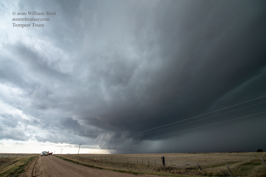
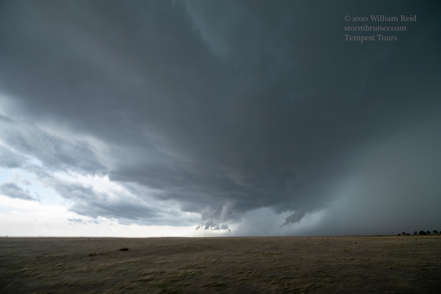
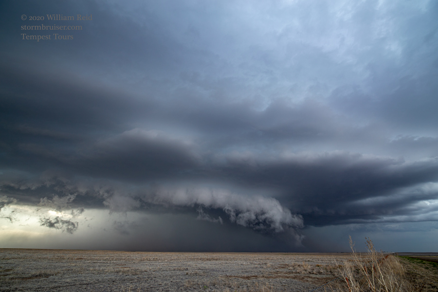
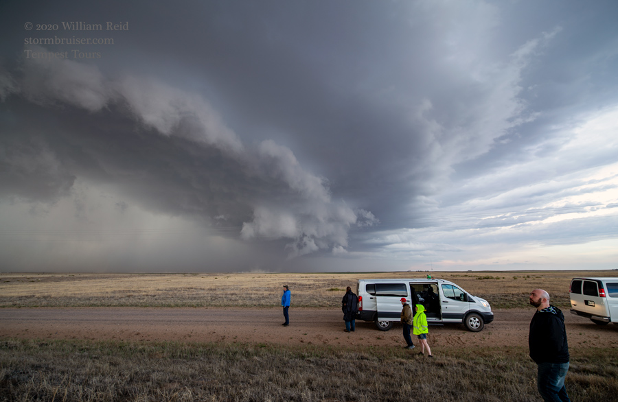
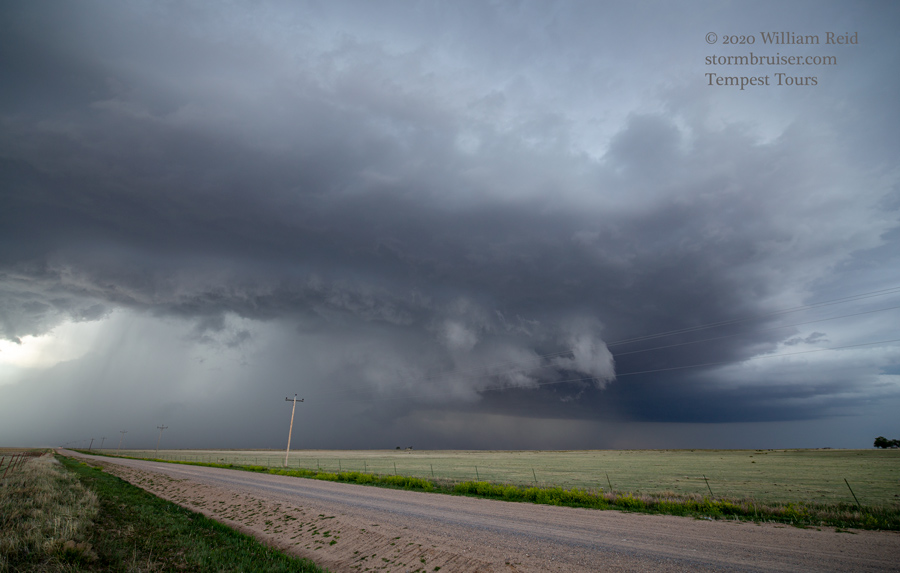


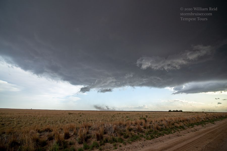
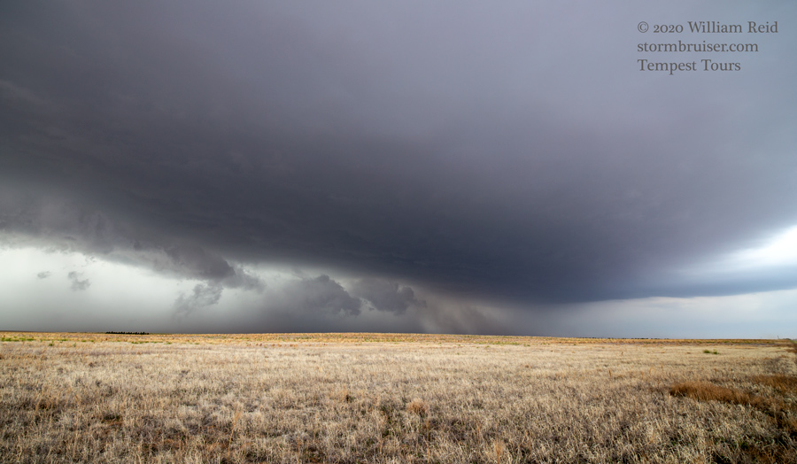
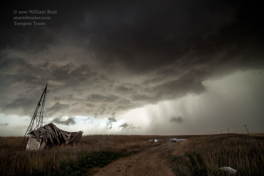
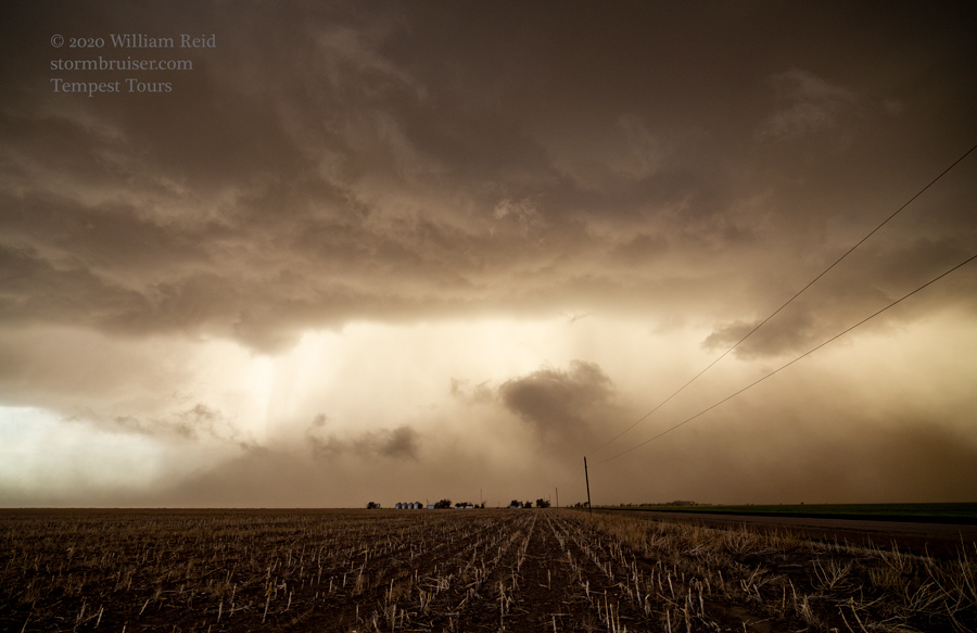
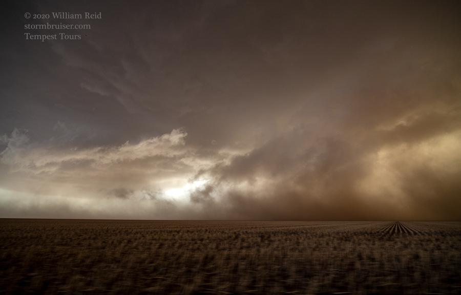
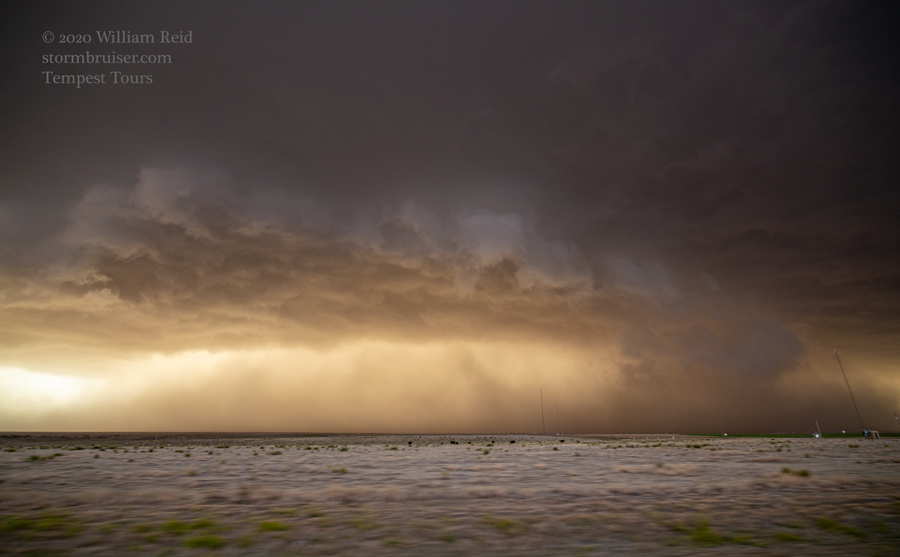
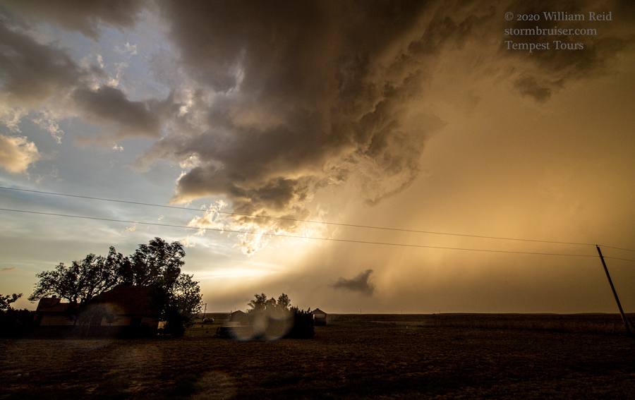
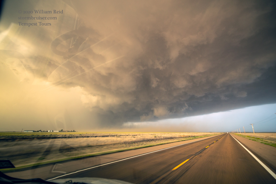
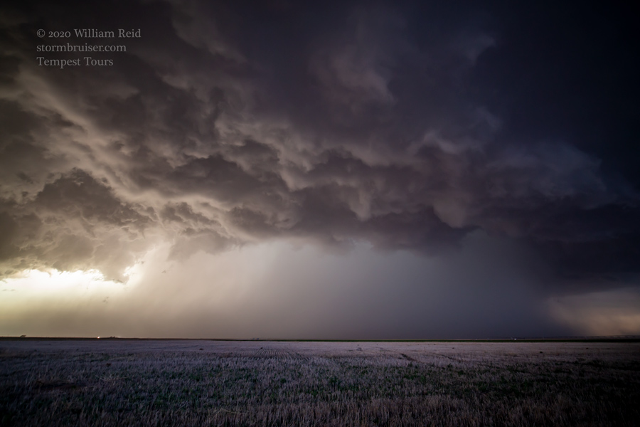
This next set of images (below) are for the chase along Road M and to the CO/KS line and slightly beyond. SPC reports show 6 power poles snapped due to the storm, five miles north of Campo (three miles north of Road M). These winds were probably due to the strong RFD/rear-flank downdraft that tracked north of Campo. As the supercell continued to the east, it evolved into more of an outflowing and dust-filled beast. We permitted the cool outflow to encroach, and then we would head east again to get out in front for a few seconds…and then repeat the process. When we got into Kansas, the storm was less interesting visually. We stopped in Rolla to allow the storm to pass overhead, and some golfball-sized hail was observed.
Central Kansas wound up with a hailer or two this day, but no tornadoes occurred in the Sunflower State.
Leave a Reply
You must be logged in to post a comment.