Start: Gothenburg, Nebraska
Lunch: Superior, NE/Dave’s Place
End: Rockport, Missouri
408 miles
SPC Mesoscale Discussion 889 SPC Mesoscale Discussion 892
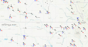
22Z Surface Map. X marks the area targeted initially near Belleville, KS. T marks the spot of the weak tornadic storm cell, west of Seneca along U.S. 36, near Baileyville, KS.
The second day of Tour 6 was shaping up nicely, with very moist and backed winds pointed towards the KS/NE border area near U.S. 81 during the mid-afternoon. A cold front was pushing towards the area out of Nebraska. A chilly wind from the NNW for early June was blowing behind the front, and development was all but certain in the vicinity of Belleville, KS, where moisture convergence values were very high. In addition, the tornado and supercell parameter values were quite high in the same area. This was 2020, though. What was going to go wrong?
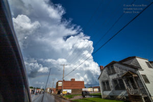
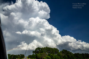
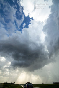
We spent some time in the hot and humid air at Republic, and then drifted east and south to Belleville to watch the cumulonimbus clouds build. We were on a little hill east of town with a view to the west of this developing supercell. I thought that we were in Fat City!
Convergence here was tremendous! Cloud tops were WAY up there! We went back towards U.S. 81, as the base was a little west of that highway, and I thought that a tornado was imminent. Seconds after reaching U.S. 81, we found ourselves in strong northwest winds. Cool northwest winds. UGH. It seems that cool outflow from another storm or two to the northwest, OR, the cold front itself, had arrived. The nice, promising Belleville storm was undercut, and it was not gong to produce anything other than a gustnado or two, if that. Shucks.
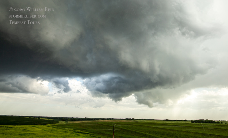
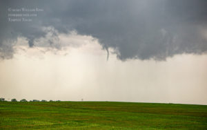
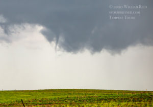
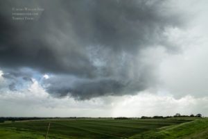
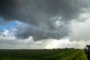
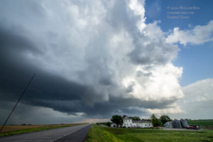
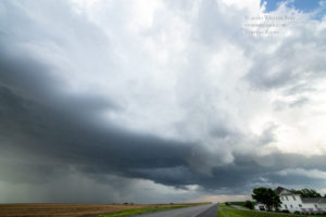
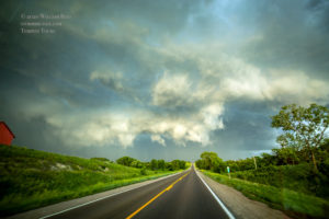
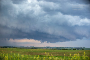
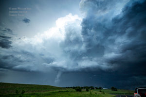
Could the chase day be salvaged? Maybe. Some new storms were trying to get going to our ESE a county or two away. These were moving to the north, and were in the good air and in the nice SE winds. We headed east on U.S. 36 to Marysville, with a fine cumulonimbus filling our windshield. We continued to the east and found ourselves just NNW of a nice, but rather small, wrapped-up storm base. This thing was spinning nicely at low levels, and soon a skinny funnel cloud was sticking out of the base. We stopped at a high spot a mile or so later, and the funnel was no longer apparent. The rotating base came up to U.S. 36 and the wall cloud passed just to our west. Alas, the storm was not in the mood to provide a tornadic spectacle for us. Chasers a bit closer to the original skinny funnel cloud reported a brief tornado with it.
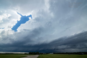
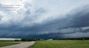
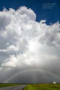
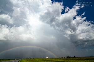
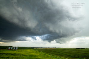
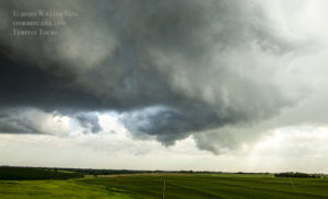
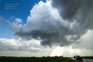
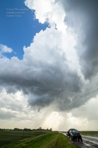
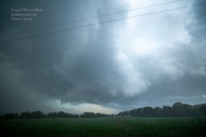
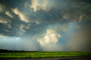
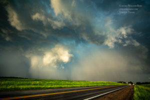
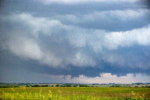
We were pretty close to Baileyville at this stop, so this funnel and weak tornado shall be called the “Baileyville, Kansas” tornado. This storm and another nearby one were moving to the north, and looked to be far enough from the cold front to maintain a tornado threat for a while. We headed to the north on a paved road (which changed to dirt at the state line) towards Pawnee City, Nebraska. Just inside Nebraska, a good-sized storm base was nearly overhead and then some very strong westerly winds were blowing. It appeared that the storm might be fixin’ to produce a significant tornado not too far to our northeast. But, visibility here was very poor in moderate rain. Heading east was an option, but with poor visibility on a dirt road, I figured that it was better to stay west of this thing. We headed up to Pawnee City, NE, near the tornado-warned storm, but could never get a good look at what might be going on. Apparently the storm failed to produce a tornado, or at least a significant or visible one. We continued to Pawnee City and east of there towards the Missouri River, with another potentially tornadic storm to our east. But, we ran out of road options east at the river. Yes, a photogenic tornado occurred just east of the Missouri River near Oregon. Close, but no cigar for us. This timeframe would have been close to when images 7-8 below were taken. The final photo below was taken near Rockport, MO, and the suspicious item did not appear to be a legitimate funnel cloud.

Leave a Reply
You must be logged in to post a comment.