
Start: Plentywood, MT
Brunch: Plentywood/Cousins Restaurant
End: Stanley, ND
441 miles
SPC Mesoscale Discussion 914 SPC Mesoscale Discussion 917

Surface Map 22Z (5 p.m. CDT)
A slight risk was plastered over western North Dakota, and we were in good shape logistically at our wake-up spot in Plentywood, MT. Tornado threat was again very low (2%) as moisture remained so-so with dew points no greater than the low 60s in western ND. A disturbance was causing a storm or two during our Plentywood brunch, but we were focused on getting a storm during the late afternoon in clear skies behind the morning junky stuff. A warned storm came up northward towards Williston midday. It failed to impress for long, and we continued to the south.
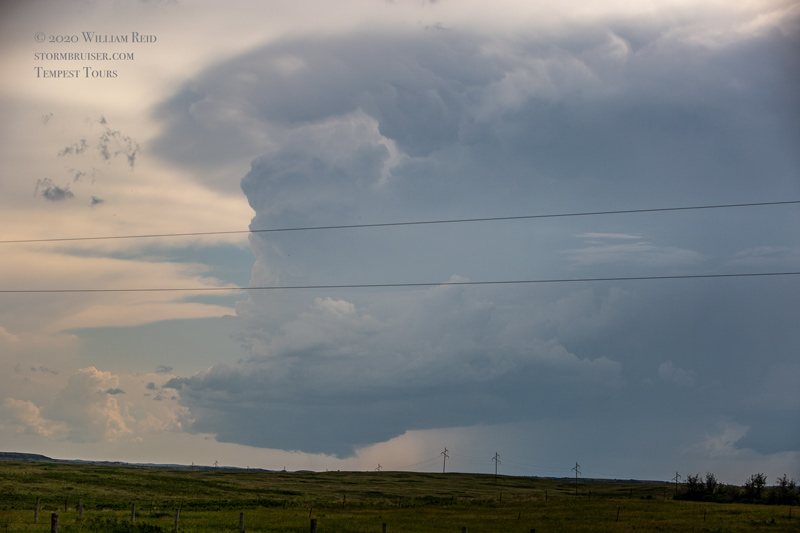
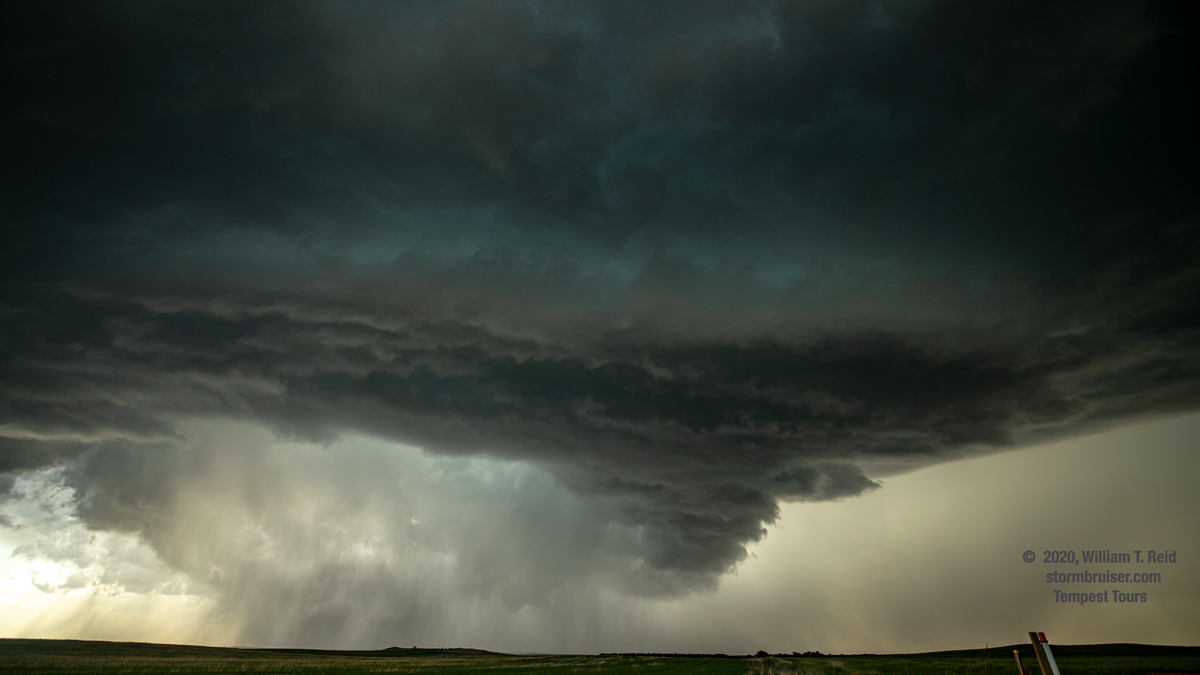
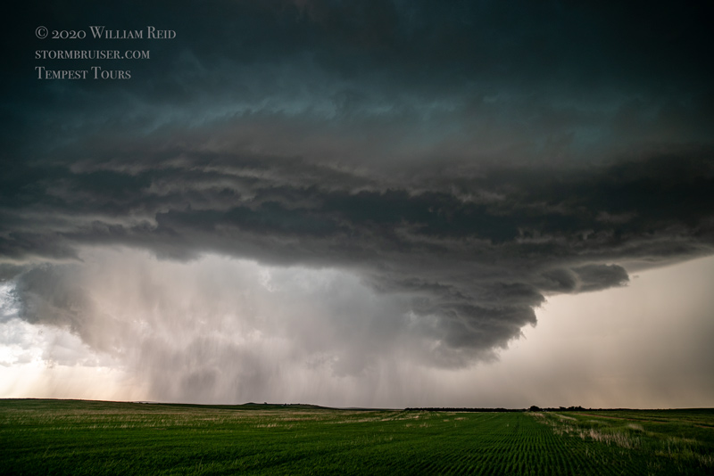
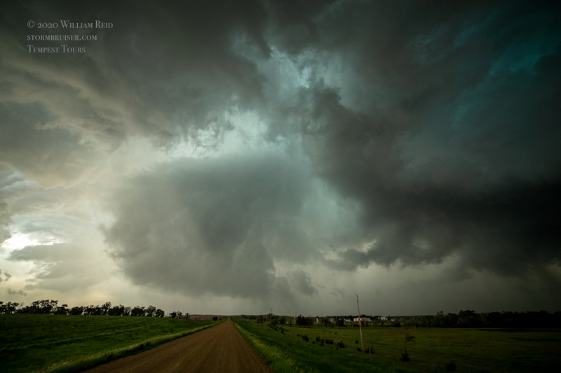
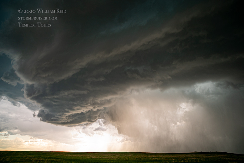
Skies did clear out for the most part in southwestern ND, just northeast of a surface low. I was waffling along U.S. 85 between Belfield and Watford City. It looked like any tornado threat was a bit better near the Missouri River, perhaps around Watford City, as winds were backed more towards the north. An updraft or two kept me close to Grassy Butte. These fizzled, and finally a storm that was moving eastward out of Golden Valley County (northwest of Belfield) deserved our attention. We got east of it about 13 miles north of Belfield and watched it approach. It was showing good organization as it neared us and U.S. 85.

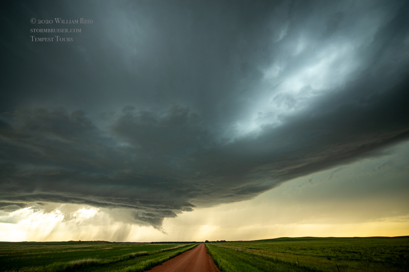

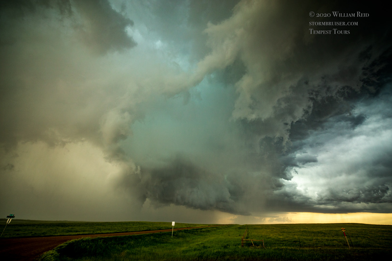
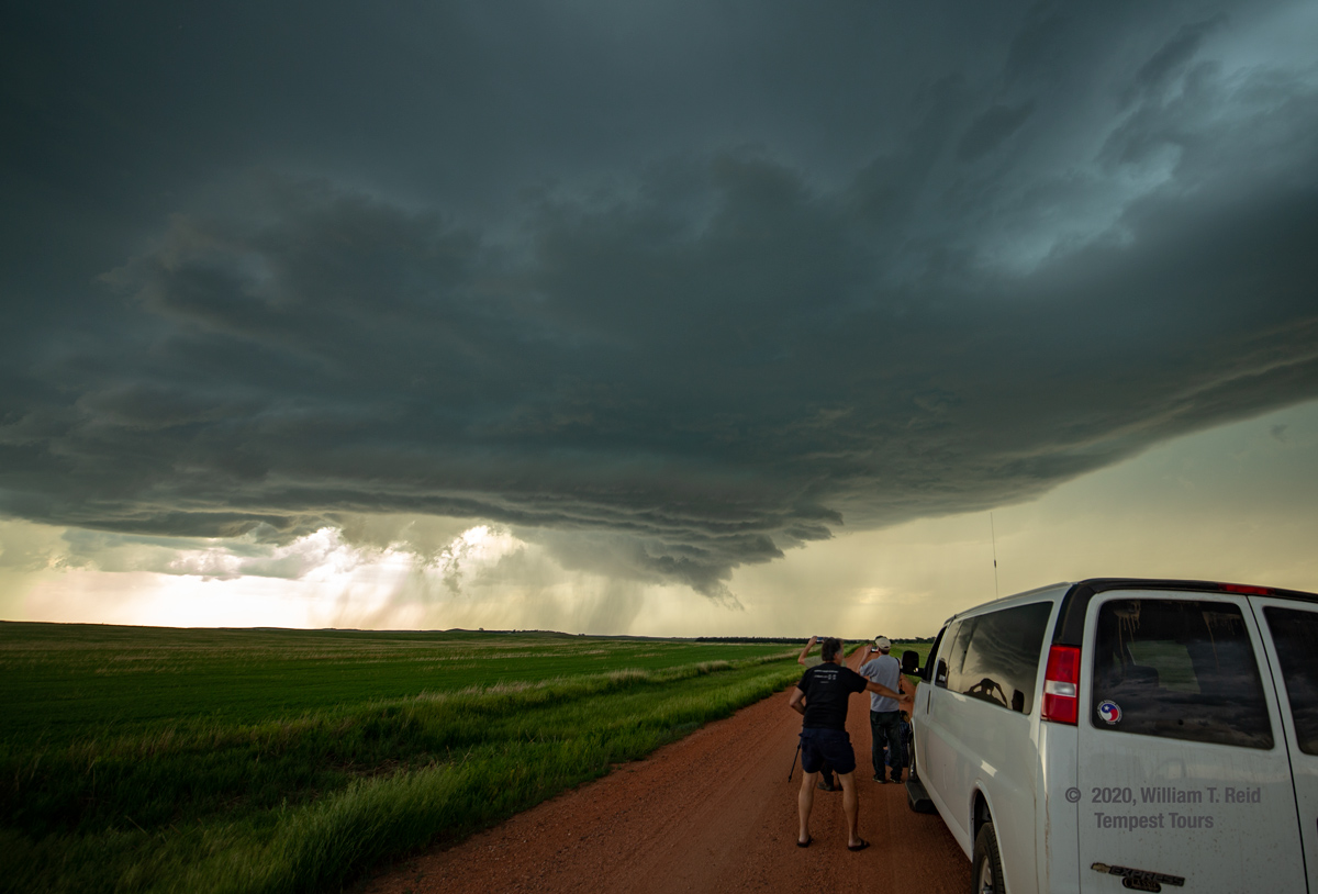
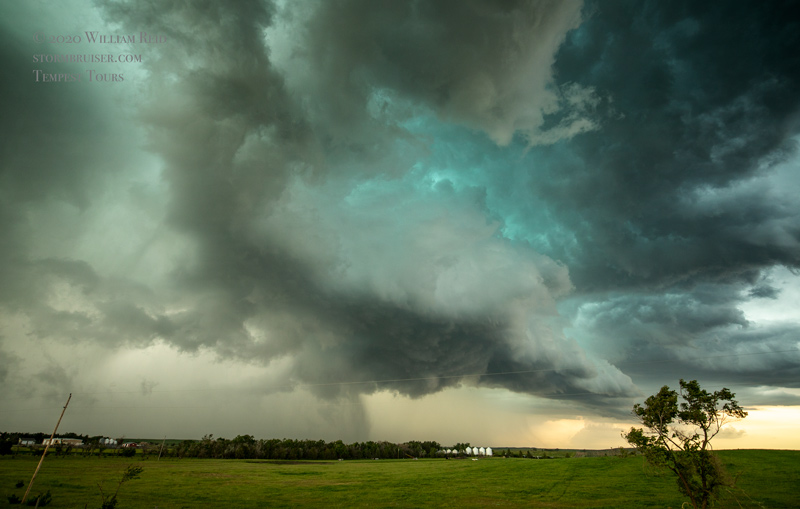
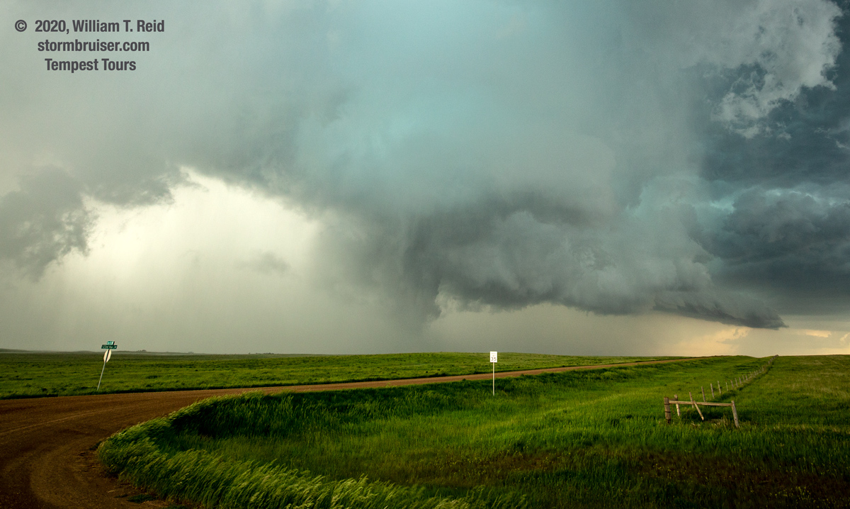
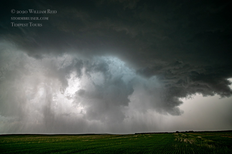
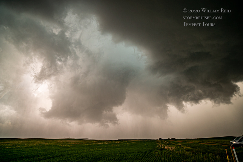
This supercell was getting pretty strong, and we stayed just east of the updraft base along an unpaved E-W road (about 13 miles north of Belfield) in Billings County. Maybe 7-12 miles east of U.S. 85, near the Dunn County line, a good-sized RFD cut into the base and a prominent wall cloud, or cylindrical storm base, materialized. It looked like a funnel cloud was teasing the ground for a bit, but we did not see good evidence of a tornado. It was close!
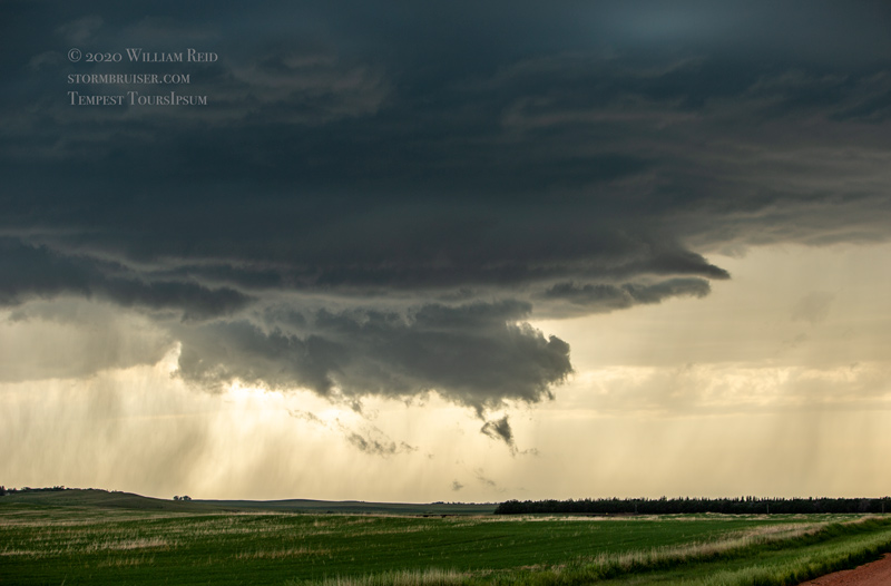
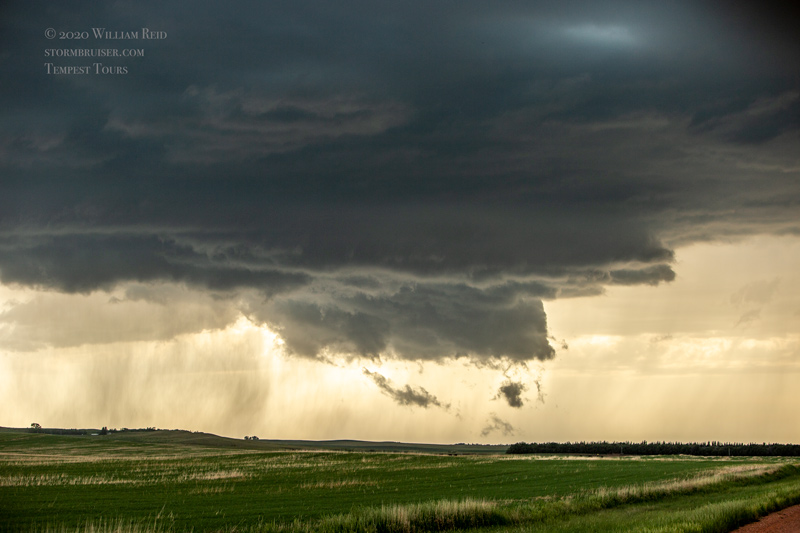


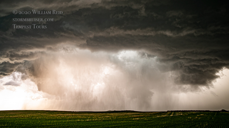
We caught Road 22 northward towards Killdeer to catch back up, but our storm was now decreasing in strength as it moved into an area that was covered by the anvil of a different storm to the south. We continued northward to try to get to another storm that was near the river and moving towards Stanley. That took a while, and at sunset we were south of Stanley with a pretty sunset and a mediocre storm.


Leave a Reply
You must be logged in to post a comment.