
Start: Lemmon, SD
Brunch: Lemmon/Alaskan Cafe
End: North Platte, NE
about 400 miles
SPC Mesoscale Discussion 925 SPC Mesoscale Discussion 927
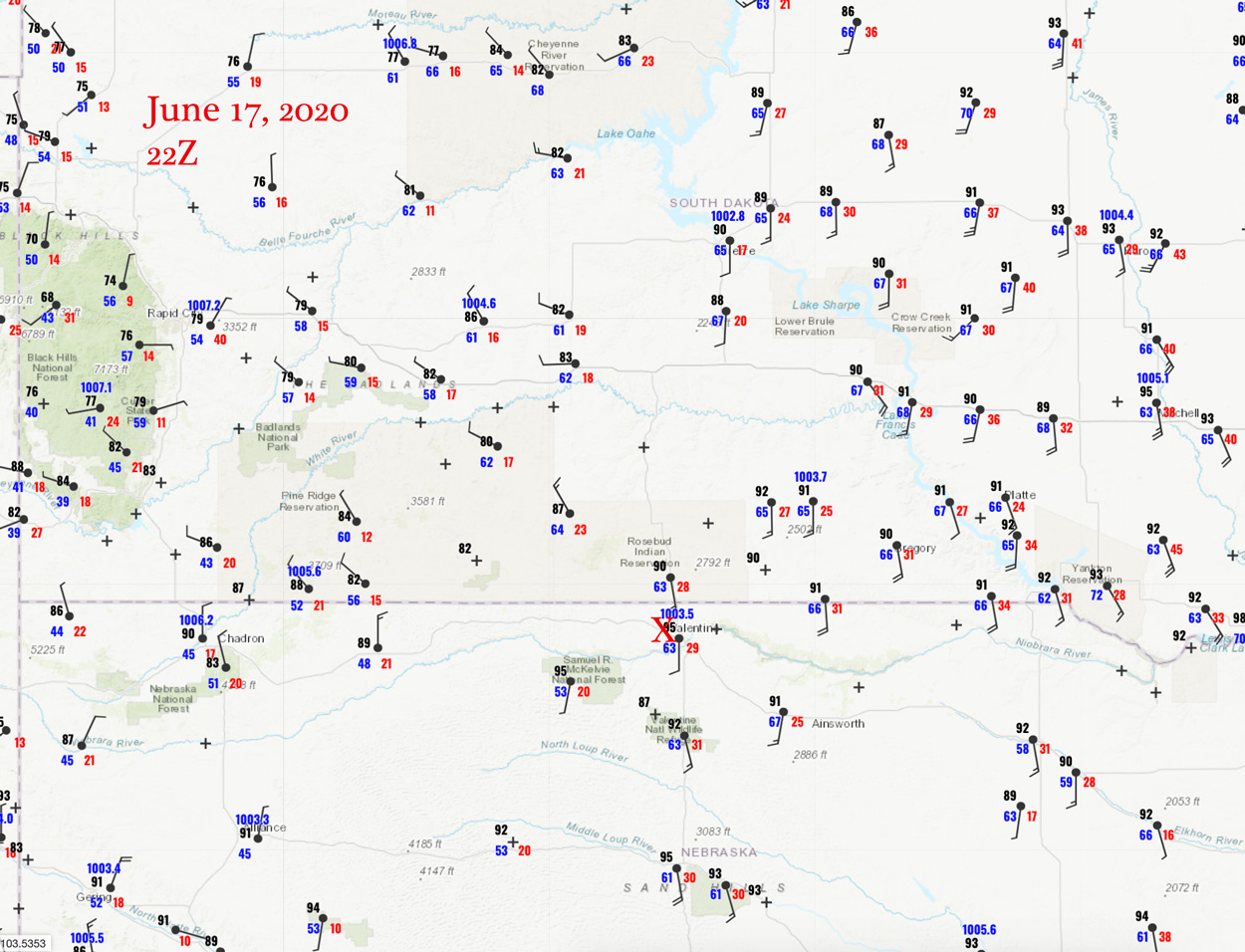
22Z Surface map
Today I again had an option of targeting the area around ND/MN/MB, where tornado chances looked slightly better than elsewhere along the slight risk into Nebraska. SPC gave the ND/MN area a non-whopping 2% tornado risk, so I blew that off and headed south to the SD/NE border. (Storm reports shows a handful of tornadoes in northwestern MN for today, but a quick check online for pictures of these turned up empty.)
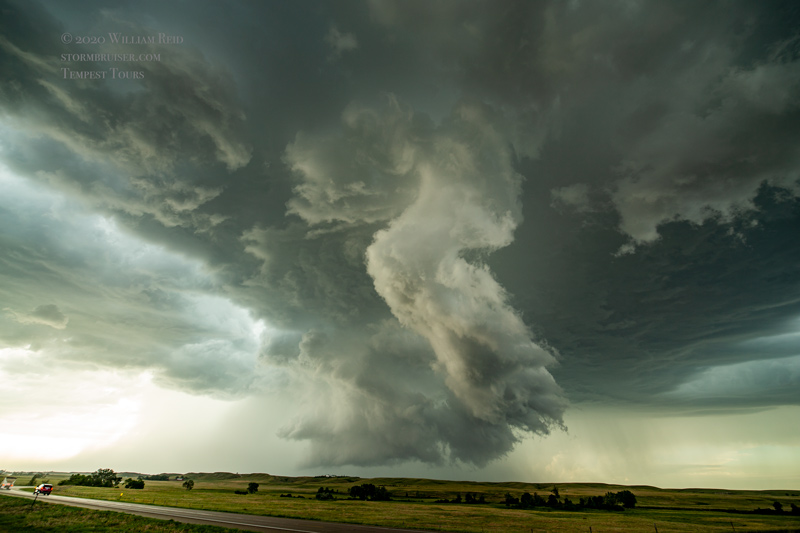
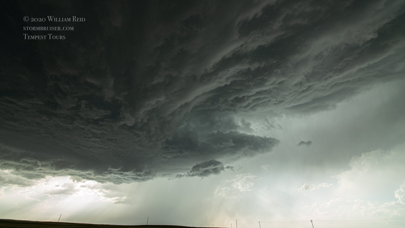
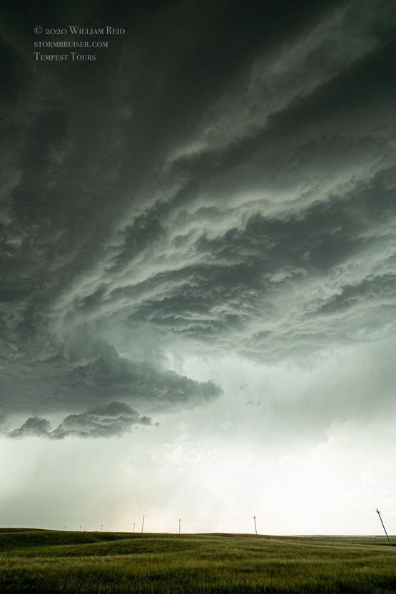
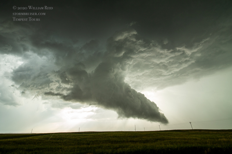
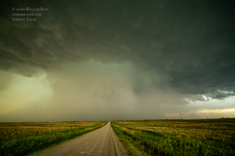
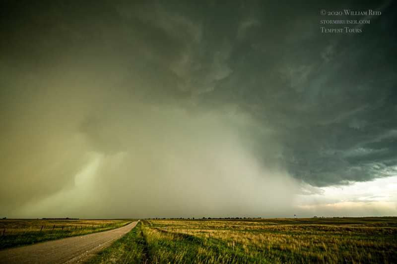
The area of surface moisture convergence and mid-60s dew points in north-central Nebraska resulted in a very decent supercell near Crookston, a little west of Valentine. We got up on the flat terrain just north of Crookston and watched a good-sized wall cloud materialize to our west. The lightning was pretty good with this storm, too! We went back to U.S. 20, with a view to the north of the organized base. An area of good rotation in the base caused a dusty spin-up or two. A tornado? Maybe!
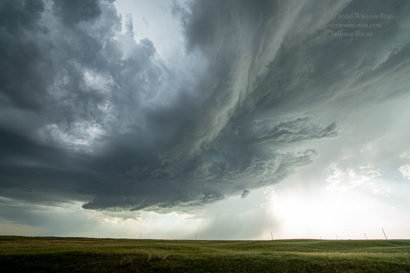


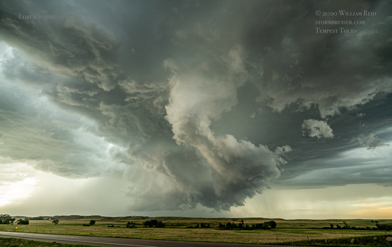


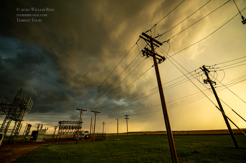
The storm dragged us northeast of Valentine as it crossed the border into South Dakota. But, it became somewhat wet and messy. When the cool outflow hit us, it was time to check out the next storm to the southwest, near Valentine. This one looked mean, but lacked a nice and low base (which the first storm sported).


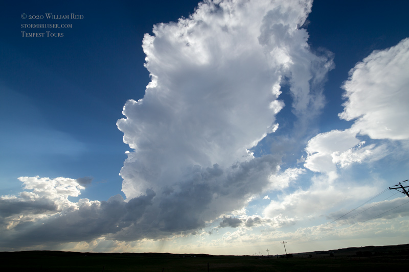
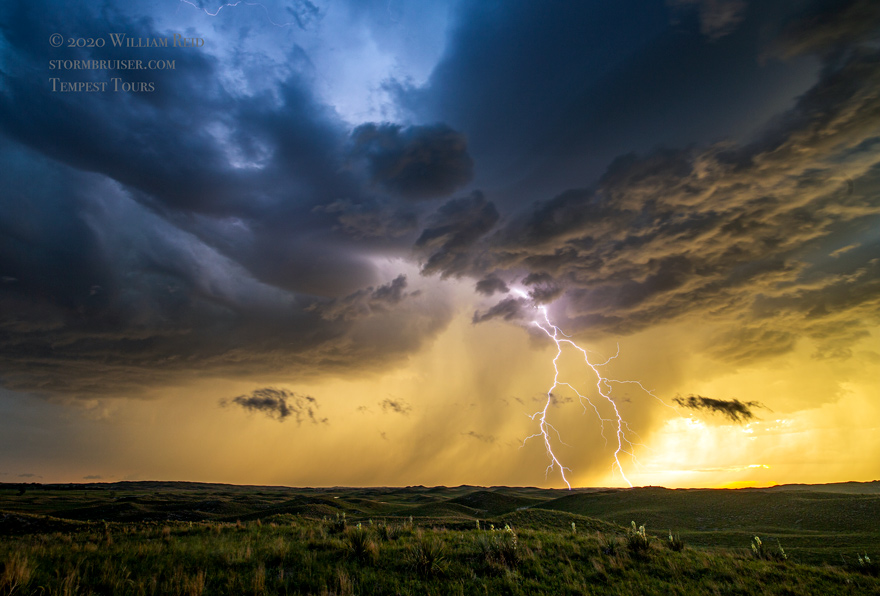
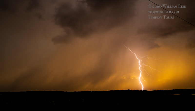
Additional storms were forming in somewhat linear fashion towards the SSW, and we had some lightning to photograph to the west of U.S. 83 about halfway to Thedford around sunset.


Leave a Reply
You must be logged in to post a comment.