Start: North Platte, NE
Lunch: Burlington/The Dish Room
End: Trinidad
about 570 miles
SPC Mesoscale Discussion 934 (not for our target area)
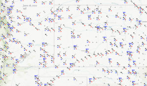
Surface Map 23Z
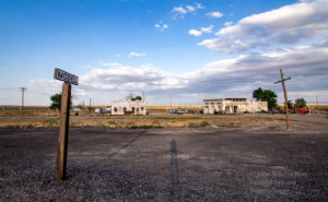
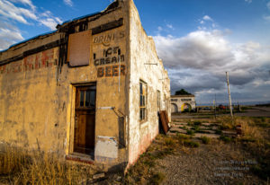
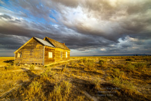
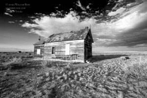
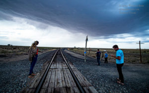
This was the final chase day for the Tour 6 group. We began in North Platte, and I had a slight risk area to consider towards Lincoln, Nebraska. The tornado risk was not good at all that way, so I elected to go for the High Plains of eastern Colorado. I know — big surprise there! Model data suggested a decent chance of a severe storm around sunset near Model, while SPC showed only “general thunder.” Are you confused yet? “Model” is a near-ghost town, northeast of Trinidad, Colorado, and we stopped there to wait for storm development.
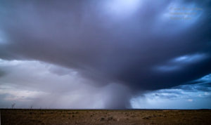
A high-based storm or two went up nearby a bit after sunset. These we just ho-hum hailers, but there was a hint of some organization. They fizzled as they drifted east of Model.
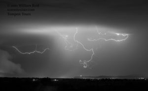
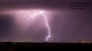
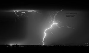
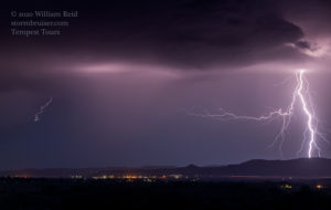
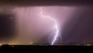
New high-baed storms were noted towards the west, near Trinidad. We went southwest about halfway to Trinidad, and had some fun shooting the vivid lightning above and around Trinidad. The shots below were with the 70-200mm lens, at around 110mm focal length. Most were cropped a little.
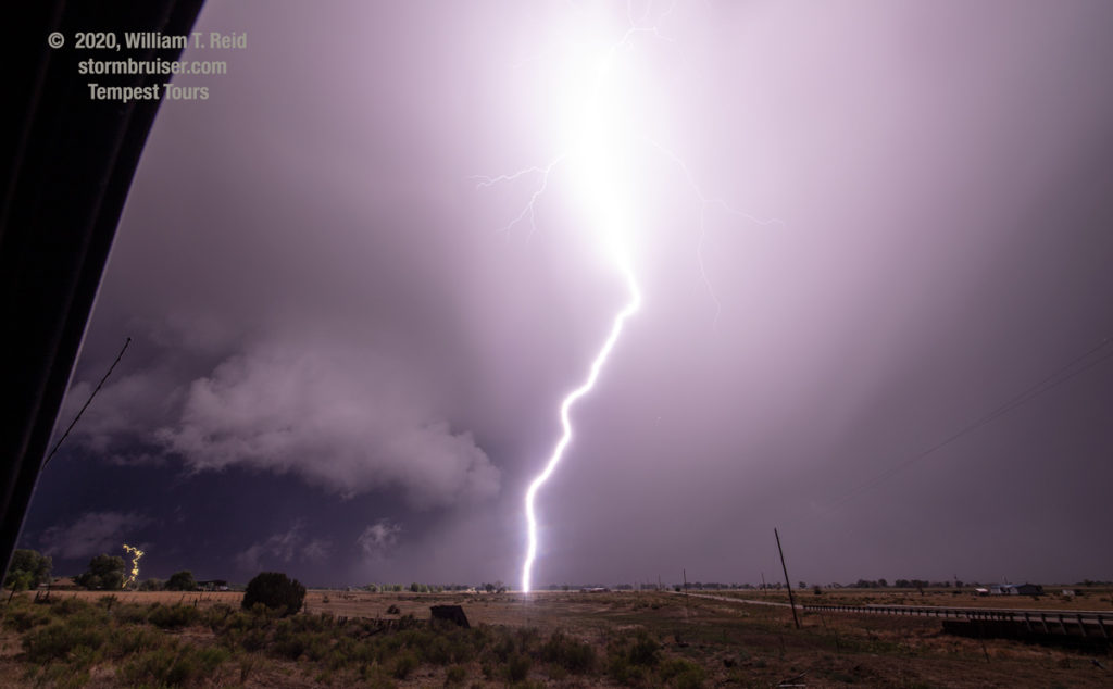
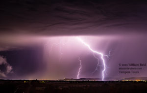
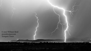
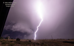
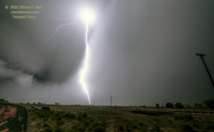
We moved a little bit farther to the southwest, to a point maybe a couple of miles northeast of the 160/350 junction (northeast of Trinidad). The radar showed a heavy storm core in the works, and it was about to dump on us. We stopped off of the side of the road to “ride it out.” As the core neared, the CG lightning activity picked up quickly, and I managed to get a few still images (first three shots below). These were with the 15mm lens, so you can imagine how close these were! I just held the shutter button down and waited for the lightning flash — handheld. I think that the storm, right on top of us now, became severe-warned. Some low-level structure was showing itself, too. This was no longer a run-of-the-mill high-based electrical storm!
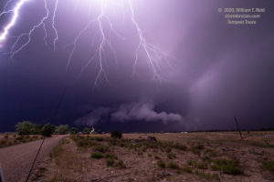
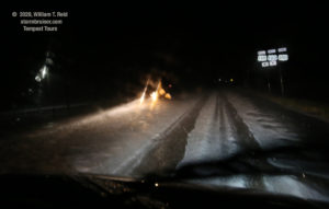
We got hammered for a while by the heavy hail core and some wind, and then motored towards the 160/350 junction on hail-covered 350 (last two images above). The radar was now indicating that our storm was trucking east into better moisture and upslope winds, and it was a rip-roaring supercell. I elected to try to get back into position, E or SE of it, along 160. But, the going was quite slow for 15-20 minutes due to the deep hail-cover on the road. We just could not keep up. It was getting late, and time to throw in the towel and head into Trinidad for the night.







Leave a Reply
You must be logged in to post a comment.