
Start: Dodge City
Brunch: Dodge City/Dodge House Restaurant
End: Shamrock, TX
373 miles
SPC Mesoscale Discussion 953 SPC Mesoscale Discussion 957
SPC Mesoscale Discussion 959 SPC Mesoscale Discussion 963
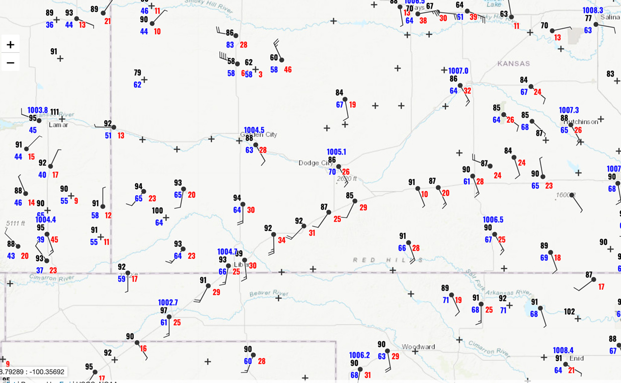
21Z Surface Map for June 21
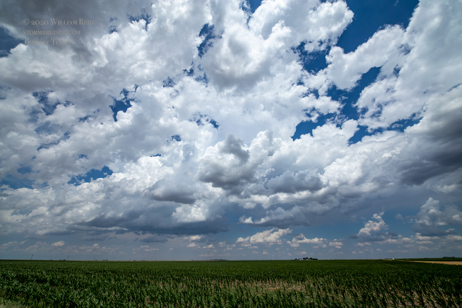
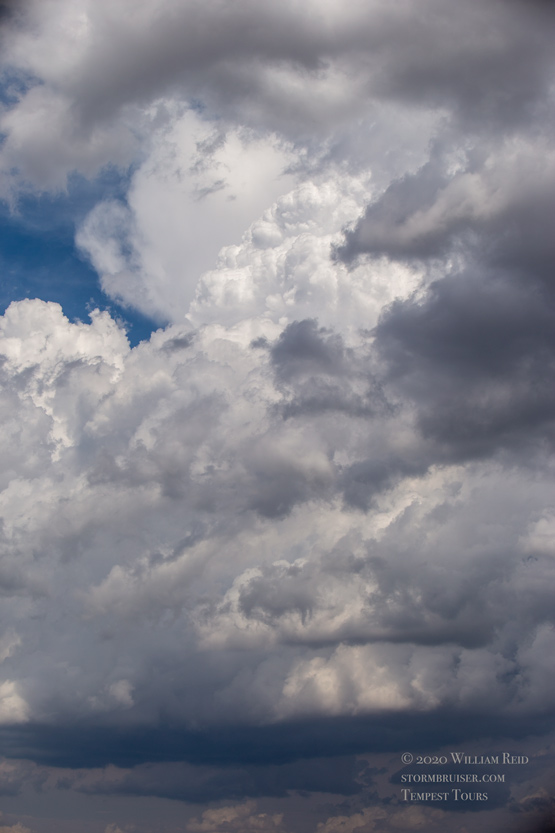
Hopes were somewhat high for a nice chase day with a tornado. And, we were starting out right about where we wanted to be — Dodge City! SPC showed a 5 percent tornado threat in southwest Kansas. Some morning storms were in progress up along I-70, and the models were not handling that activity well at all. With a dew point of 70F at Dodge City and a SSE wind by mid-afternoon, I thought that we might be in Fat City. We drifted WSW a little and killed some time around Sublette. The dew points were quite a bit lower this far west, but this is where development would be. We watched some storms go up a little farther ENE, in the vicinity of Dodge. Other early afternoon convection was belching cold air around Scott City. This cold air was coming our way. We had a decent cell west of Dodge City for a bit, but it was moving to the northeast and was not spinning much. I tried a dirt road which became muddy, and we let that one go. We got in front of a new storm at Cimarron. It looked good, and then it was outflowing. New storms to the WSW beckoned, near Sublette, and we wound up on one that chased us south on 83 towards Liberal. Again, this one was rather high-based and in ho-hum air with regard to the dew points. The words “outflow” and “undercut” were muttered.


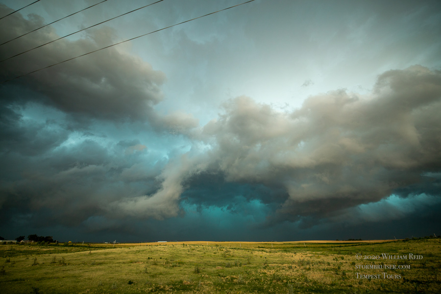
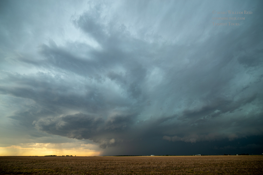
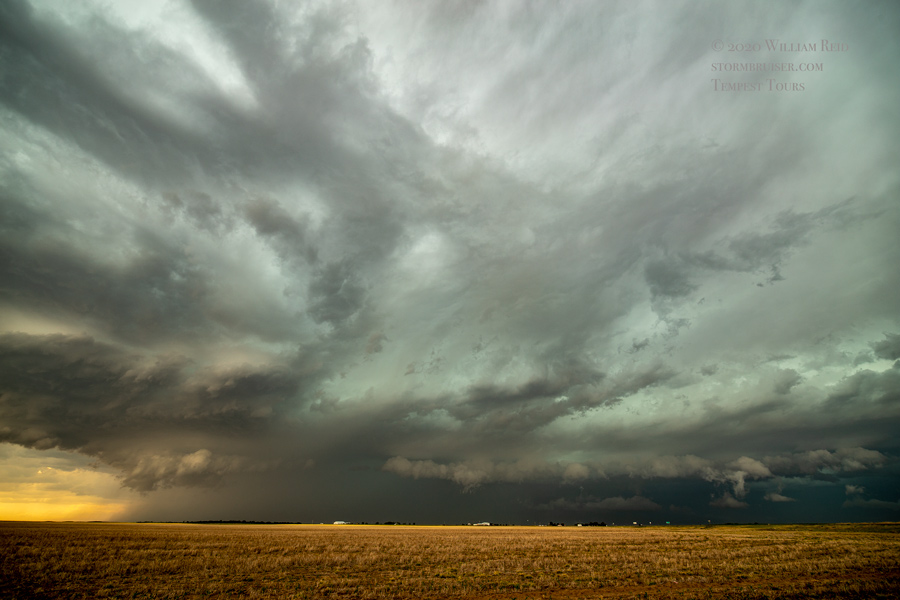
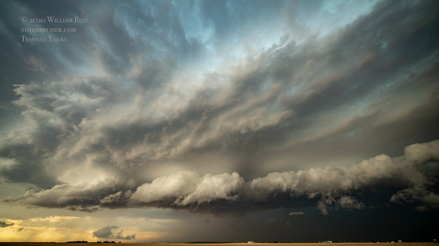
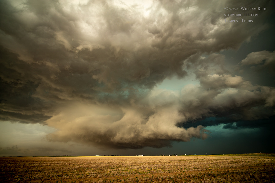
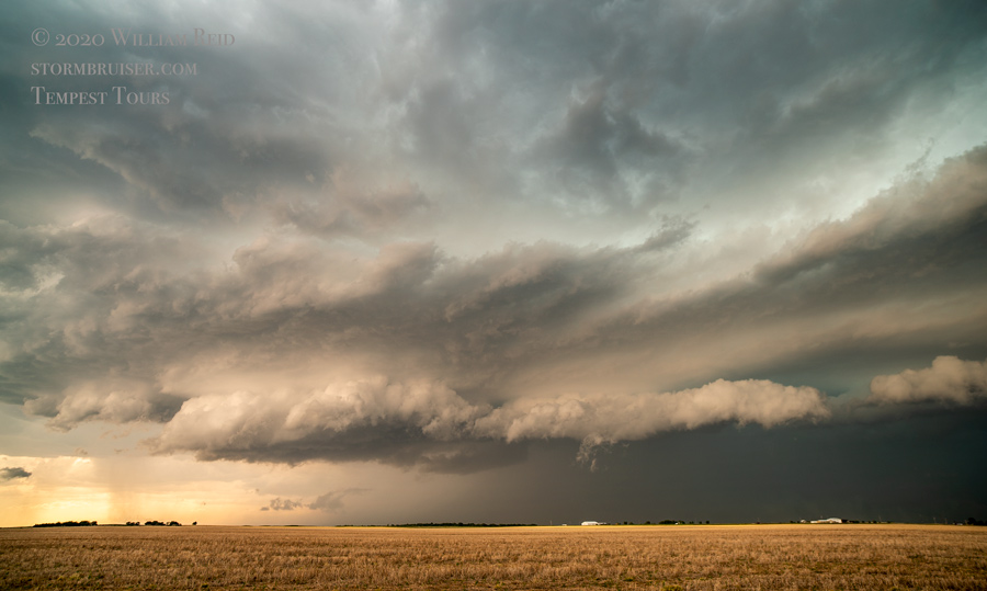
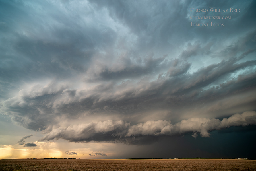

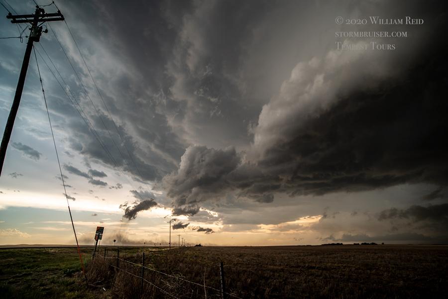
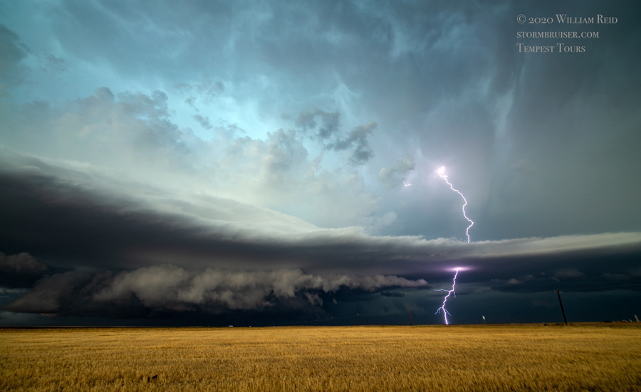
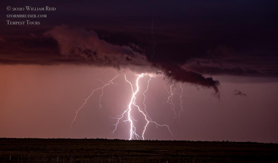
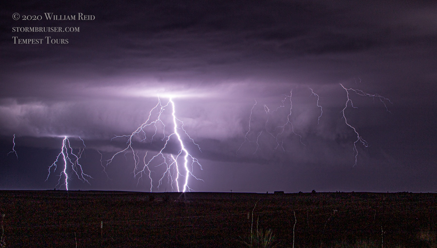
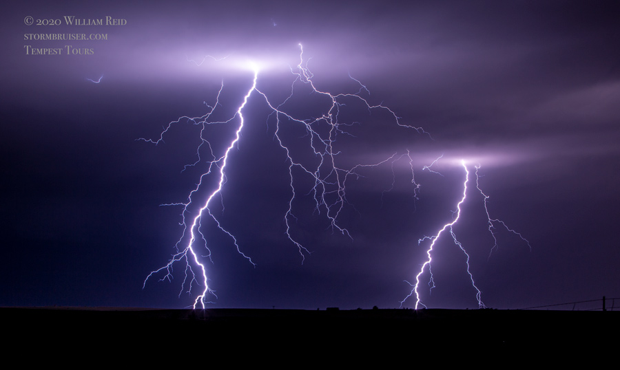
The day was going down the tubes as far as the tornado threat. We stayed ahead of some severe storms as we jogged east a little in the Oklahoma Panhandle, and then stopped near Booker to watch a good-looking quasi-supercell with plenty of lightning as sunset neared.


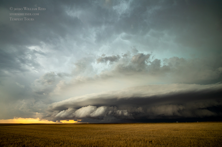
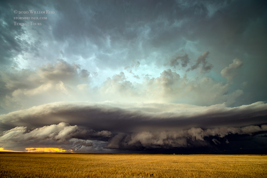
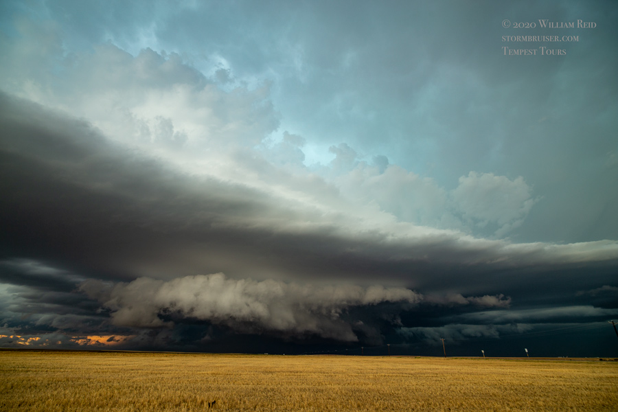
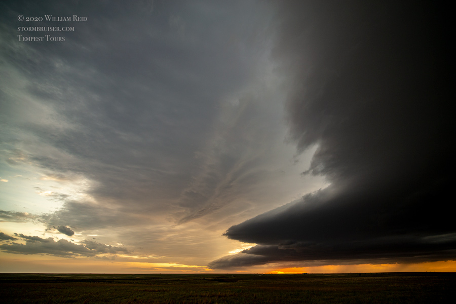


This stuff continued to be a bit undercut and a bit linear, but it refused to let up. New storms went up just to our south, and we made our way east of it as it got dark, just south of Canadian, TX. The lightning show to our west was quite nice!


Leave a Reply
You must be logged in to post a comment.