
Start: Ogallala, NE
Lunch: Castle Rock fast food
End: Denver
about 480 miles
SPC Mesoscale Discussion 1007 SPC Mesoscale Discussion 1009

21Z surface map
Timelapse video by TT guide Chris Gullikson
Well, this day worked out nicely, at least logistically. It was the last chase for Tour 7, out of Denver. And, the target area today was…Denver! Actually it was about 20 miles south of Denver. Close enough. Nice easterly upslope flow would mean plenty of shear for rotating updrafts. Dew points were still mainly 50F or lower, but SPC saw fit to stick a small 5 percent tornado circle along and east of I-25 near Monument.
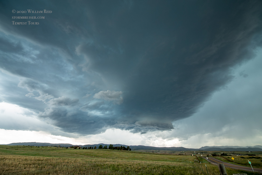
As often happens along the Front Range, the activity got off to an early start. After lunch in Castle Rock, we drove about ten miles to get a little east of a developing supercell. Yes, it was high based, but kind of cute, with a little wall cloud.
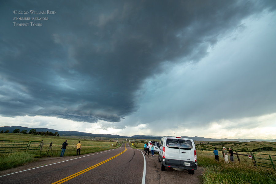


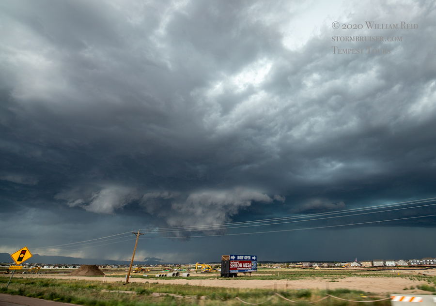
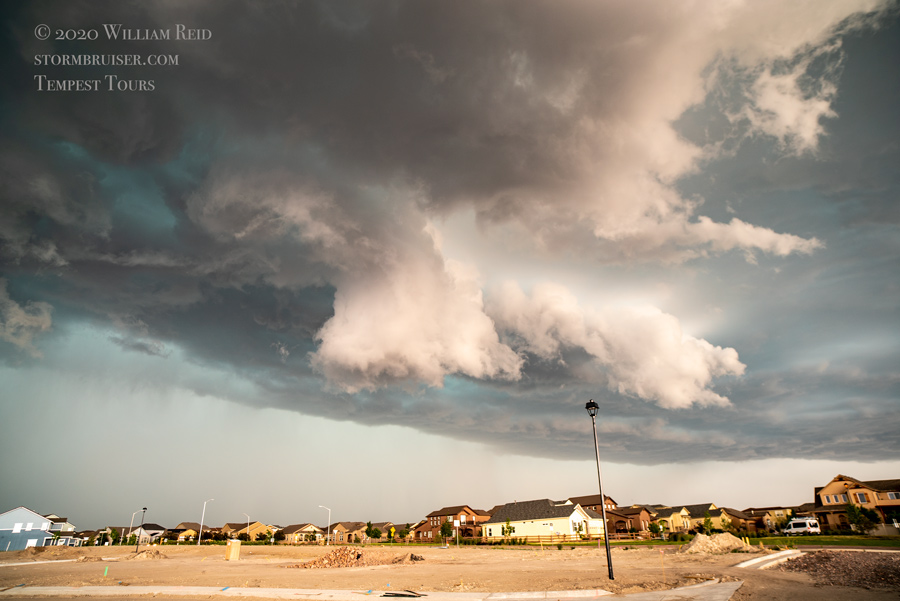
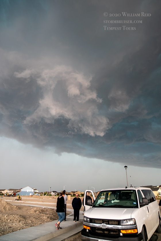
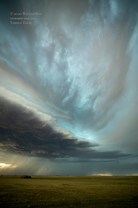
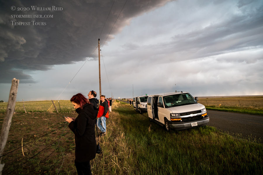
This one got a bit messy, and another new storm went up to its south along I-25. We went east to Elizabeth and south to Elbert and Falcon to keep these hailers within striking distance. A cell on the northeast edge of Colorado Springs, not too far WSW of Falcon, began to get a decent look, and we were soon nearing its base. A good-sized lowering developed, and then a tornado warning was issued! I had almost forgotten what those were. We stopped in a new suburban development as the base swirled nearly overhead. No funnel or tornado formed, and the storm moved a little to the southeast. We needed to get back into position.

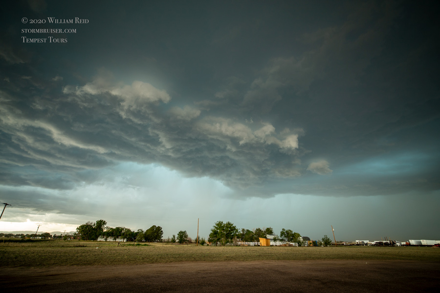

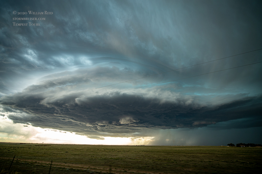
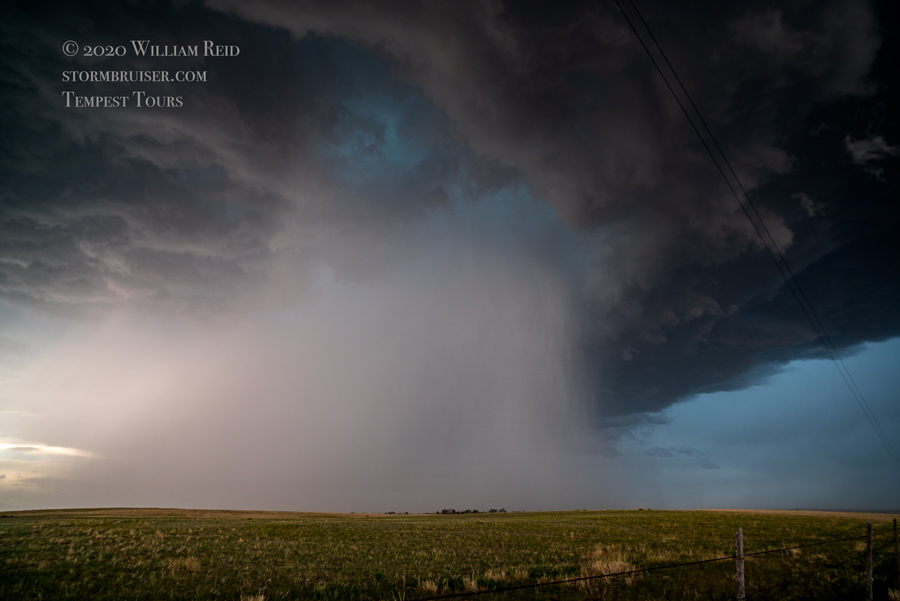
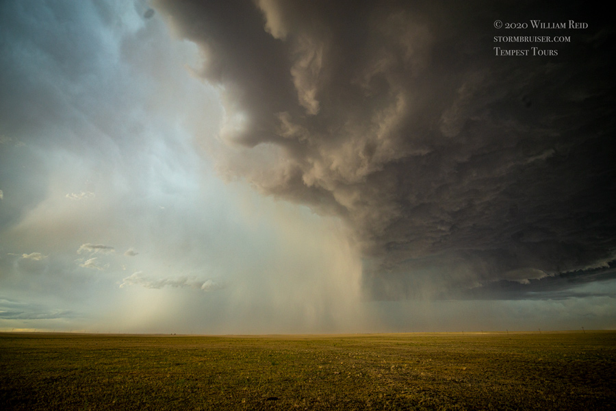
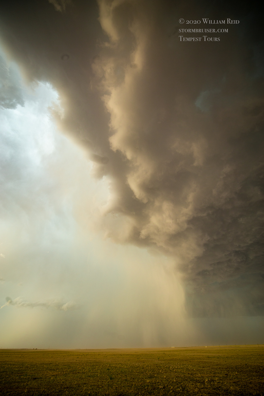
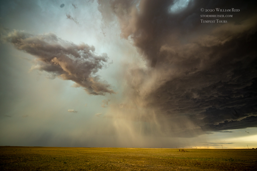
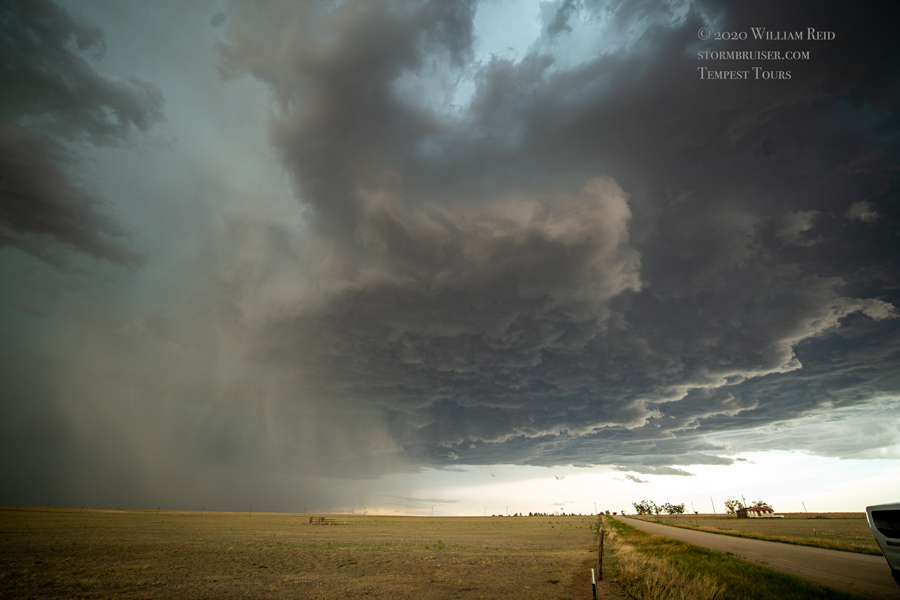
My plan to get back to Falcon failed miserably, as hail began to batter us. I bailed south a little and then east on 96 towards Yoder. A new storm, I think, developed just to our south, and we raced east to Yoder to get right in front of it. This one looked really nice.
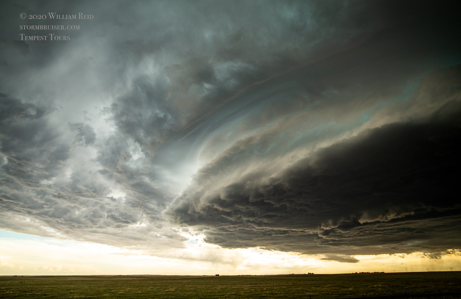
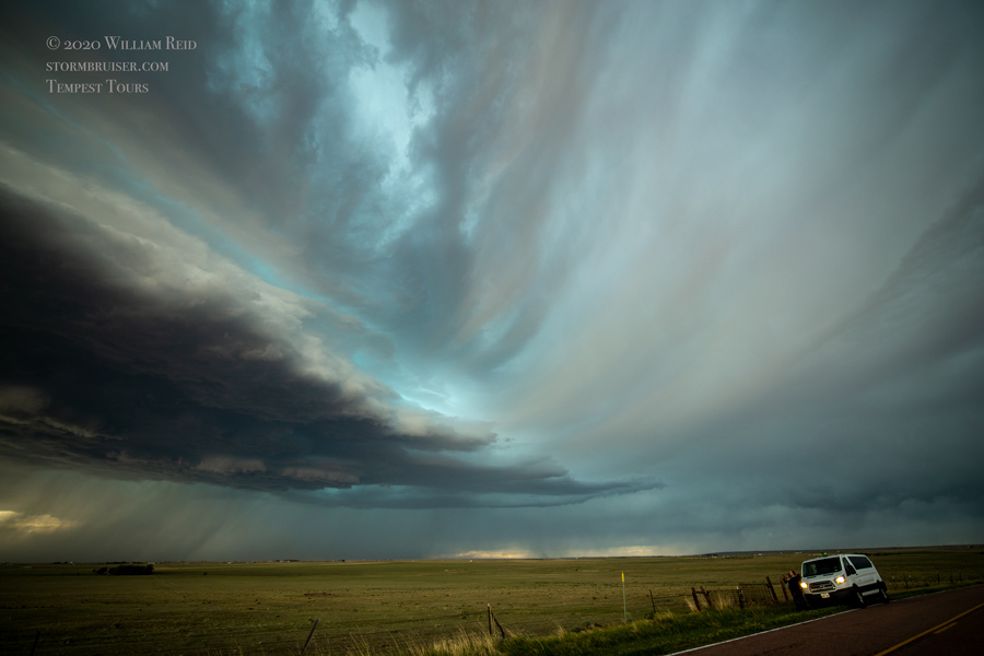
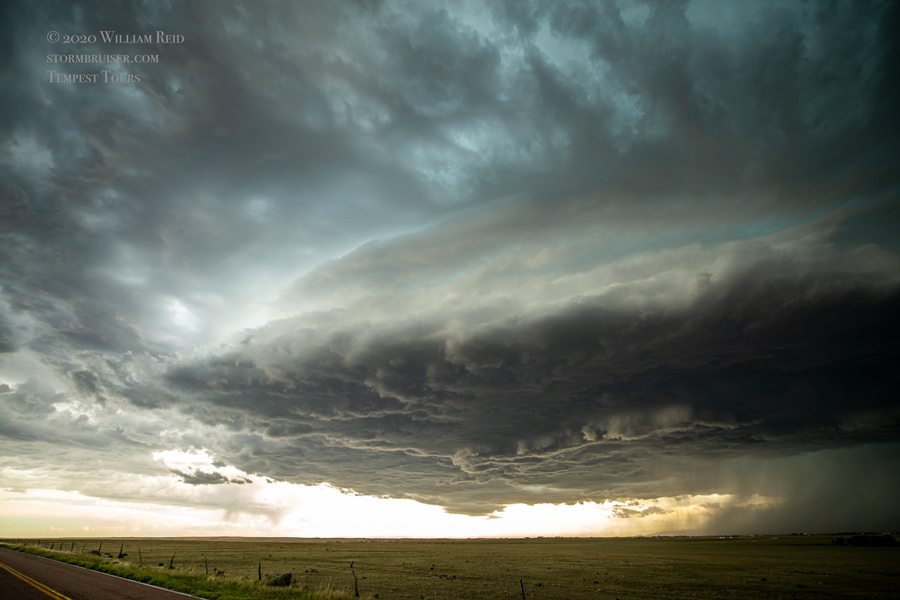
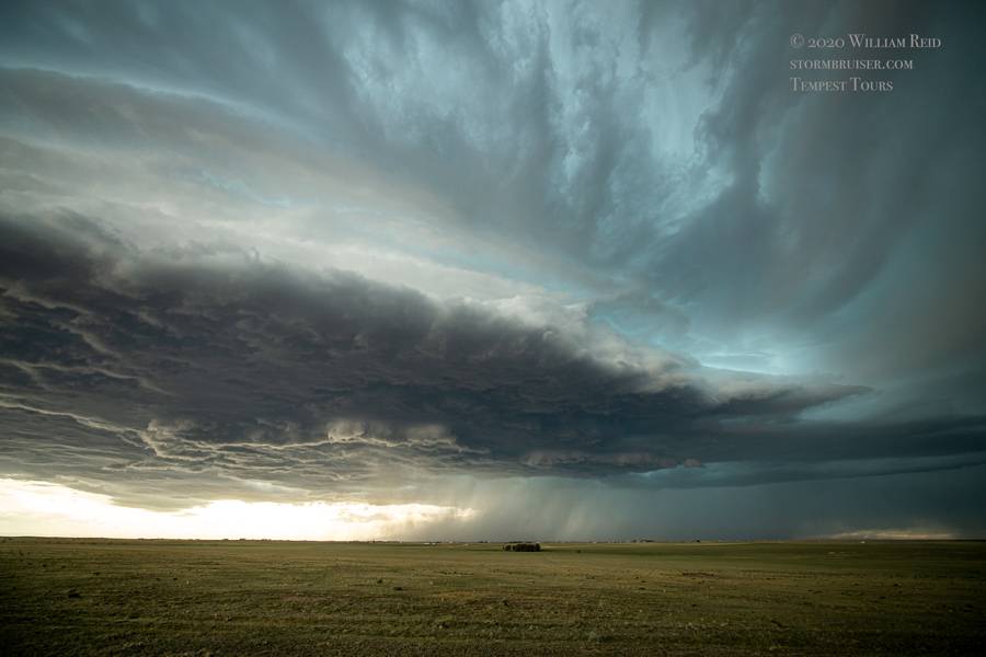

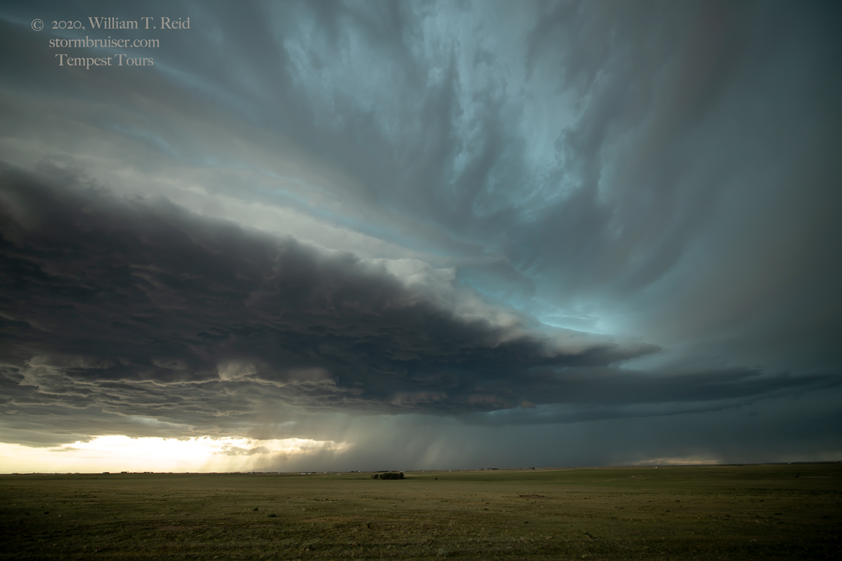
The storm drifted to the southeast, towards us, and we scooted south to Truckton. The supercell was quite high-based, but the precipitation shaft was cool! The storm was undercut and did not seem to be strengthening. We let it go, and headed to a nice tour-ending dinner in Colorado Springs.


Leave a Reply
You must be logged in to post a comment.