
July 1/bust/down day
Start: Valley City, ND/lunch Dawson Grille in Dawson/end Belfield, ND/377 miles
July 1 was a down day for the most part, with a chance for a storm out near the MT/ND border late. We went almost all of the way to the state line to look at high-based junk near Glendive.
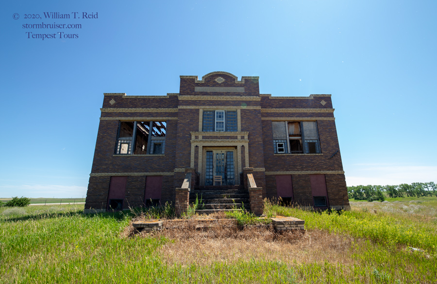
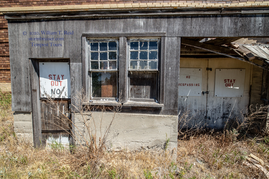
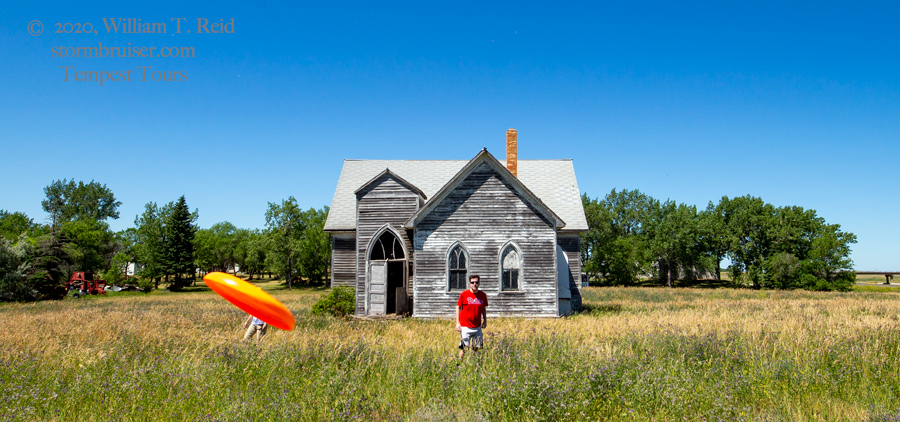
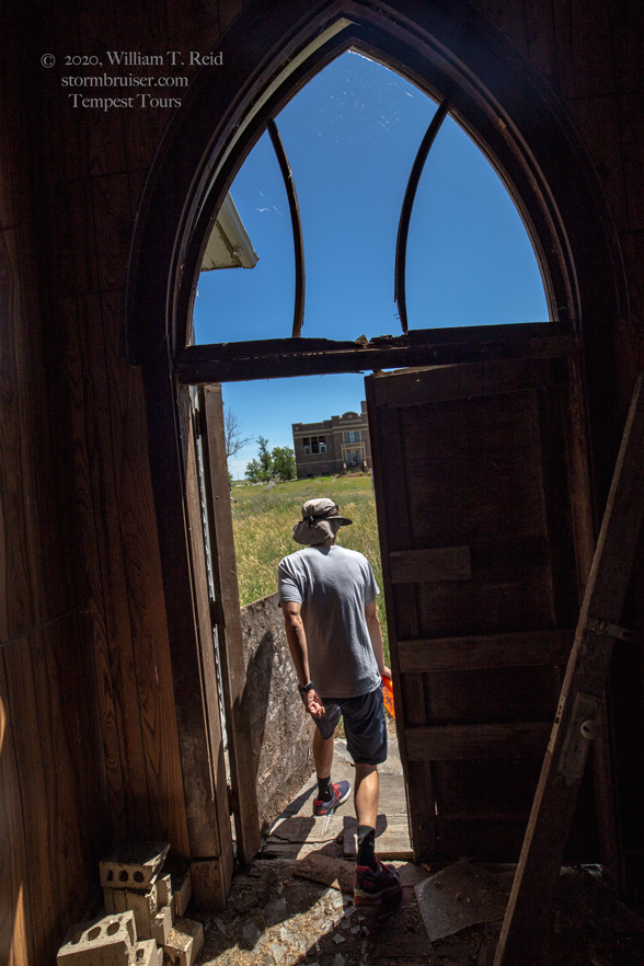
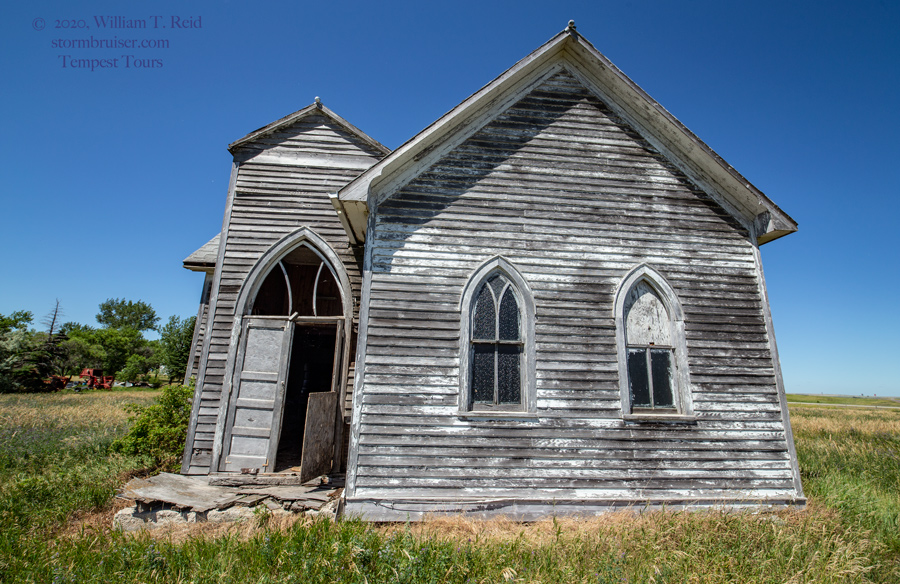
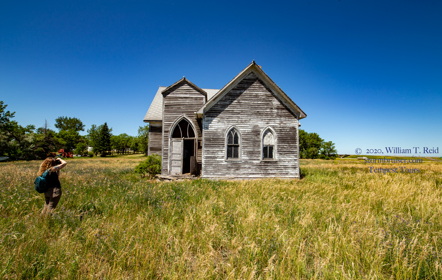
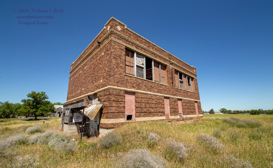
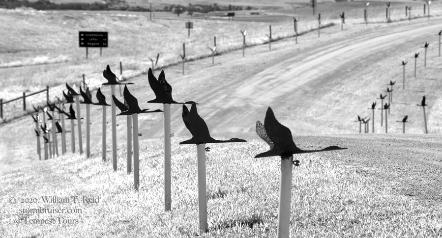
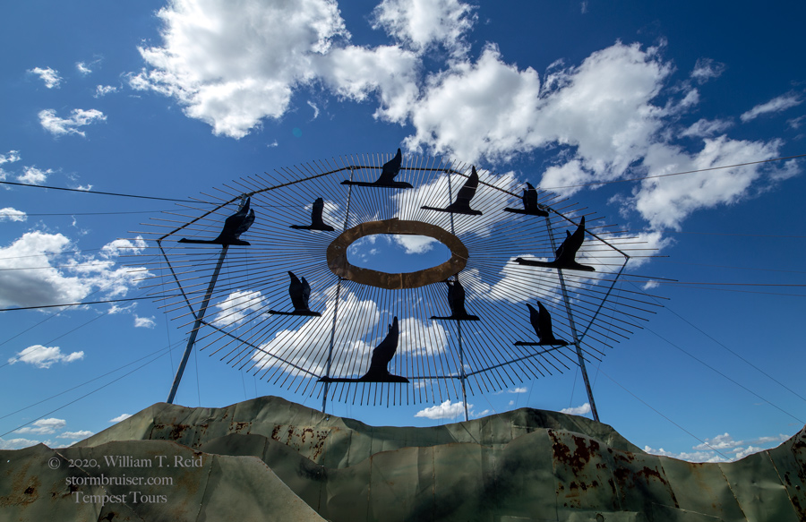
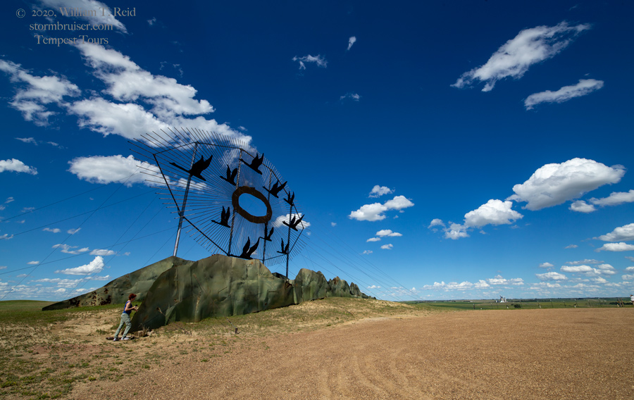
We killed a bunch of time at an abandoned church and school at Crystal Springs, along I-94; and later at the north end of the Enchanted Highway.


July 2
Start: Belfield, ND
Lunch: Newell, SD/convenience store
End: Valentine, NE
504 miles
SPC Mesoscale Discussion 1078 SPC Mesoscale Discussion 1079
SPC Mesoscale Discussion 1084 SPC Mesoscale Discussion 1085
SPC Mesoscale Discussion 1086 SPC Mesoscale Discussion 1087
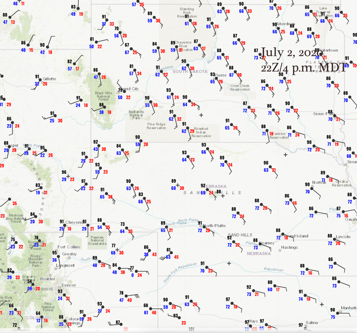
22Z Surface Map
We were presented with another low-end chase day as far as tornado risk. A boundary through the western Dakotas and into Nebraska was expected to fire during the afternoon. Moisture was rather low-end for early July in western South Dakota. We headed south out of ND and were in Newell when a strong updraft went up nearby. We wound up letting that one head off to the northeast, and we jumped onto another a little farther south. This cell started outflowing rather quickly. It was high-based. You know the saying — early high-based storms are going to be be junky.


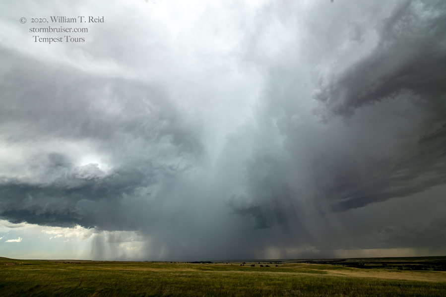
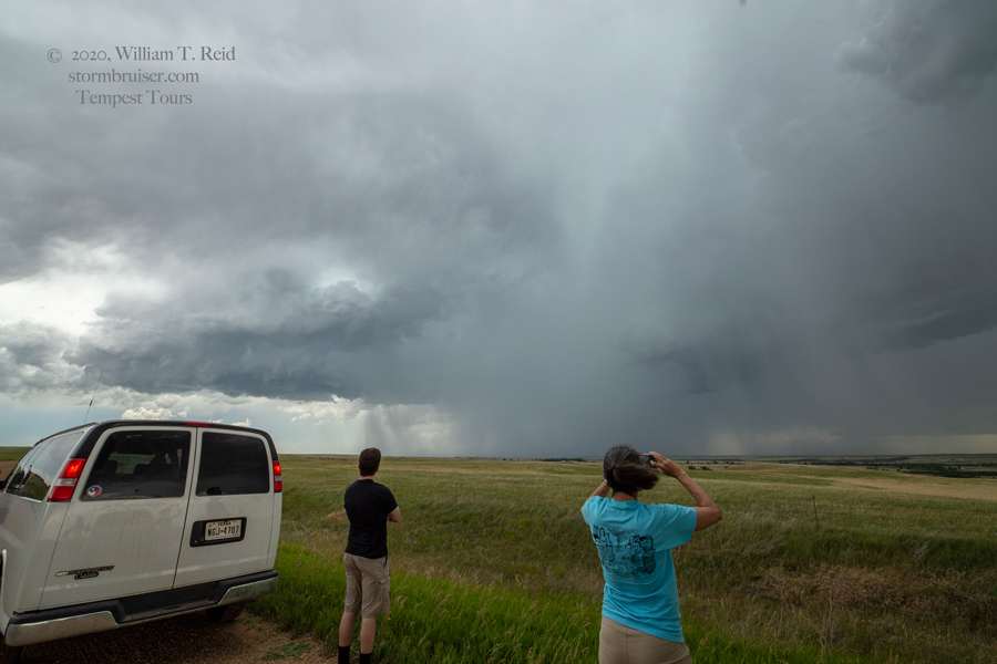
Strong outflow winds commenced, and it was time to get outta here (west of Union Center) and find better air again. South we went, and near New Underwood, another storm was just to the west.

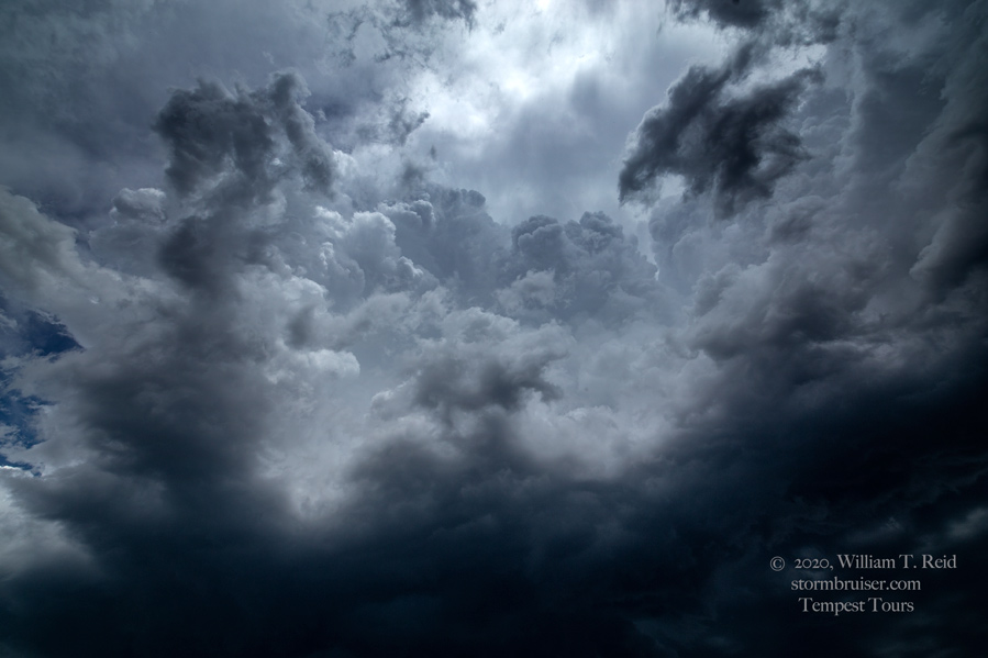
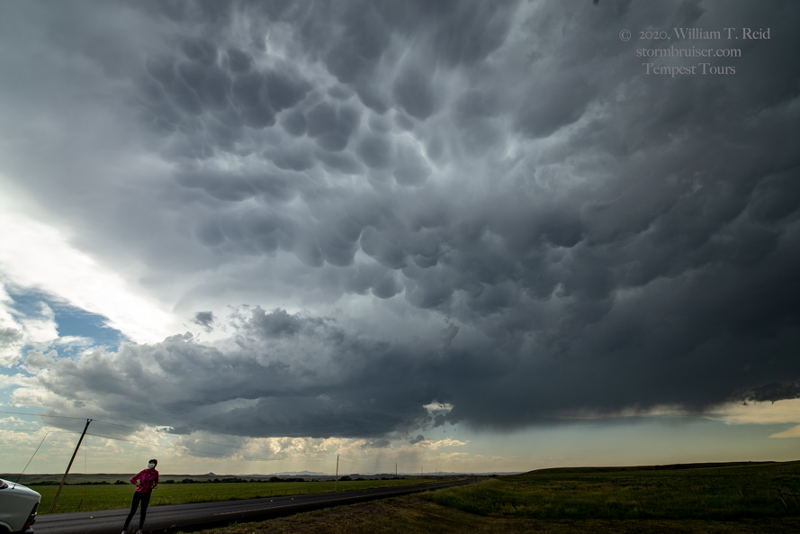
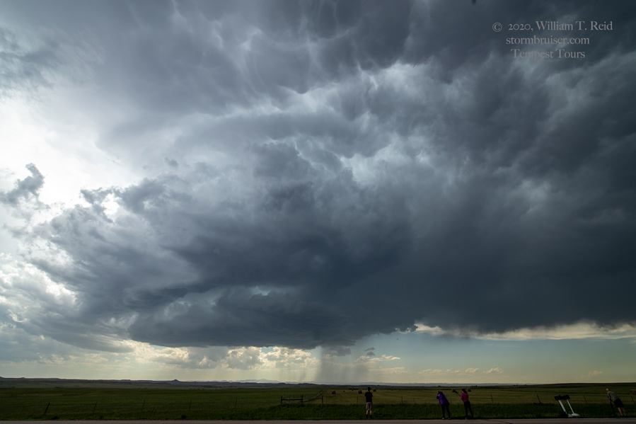
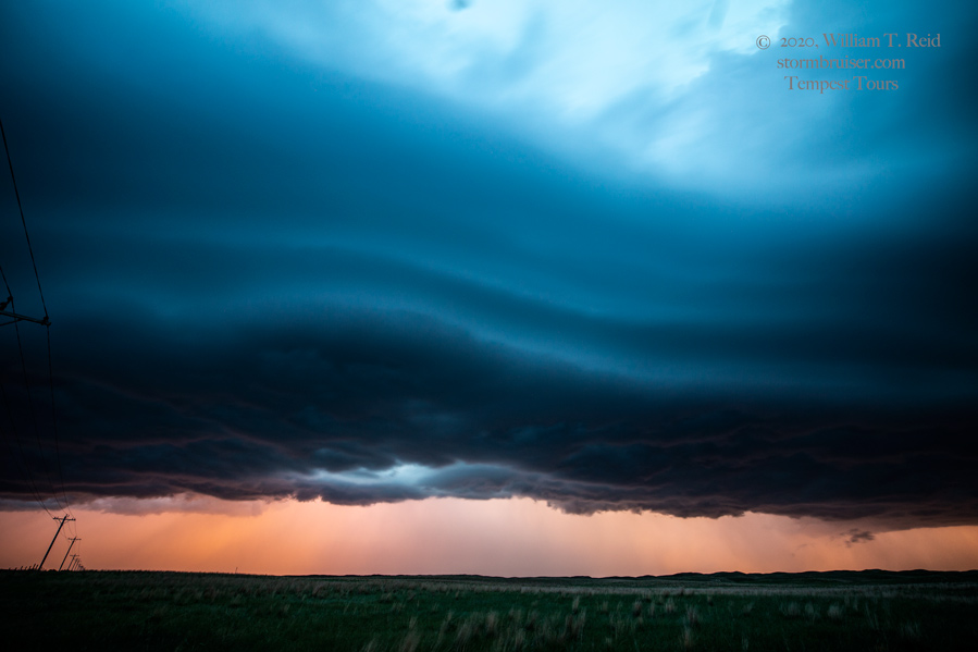
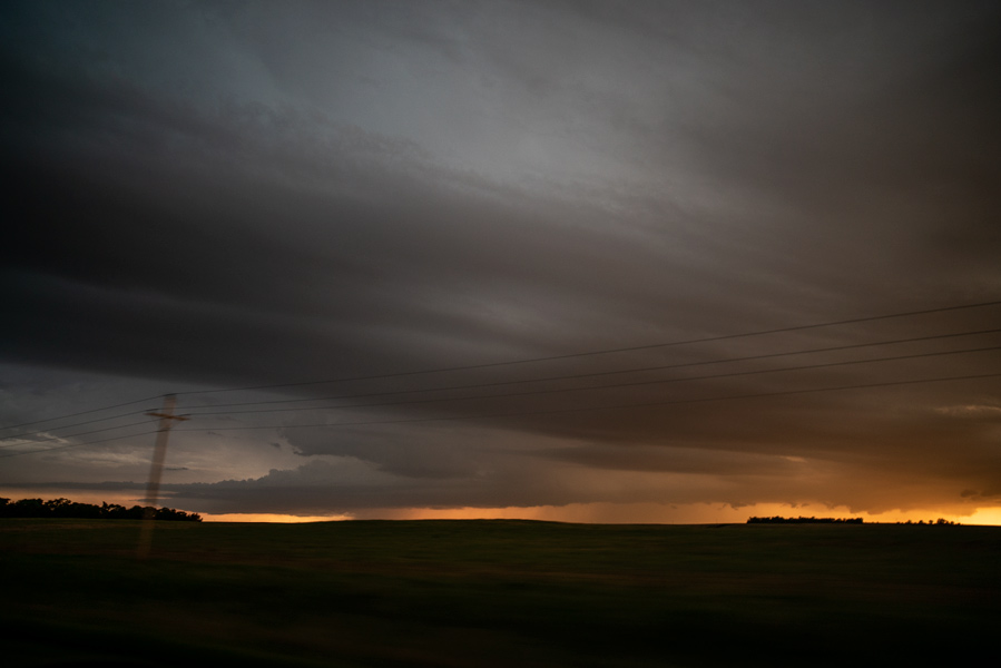
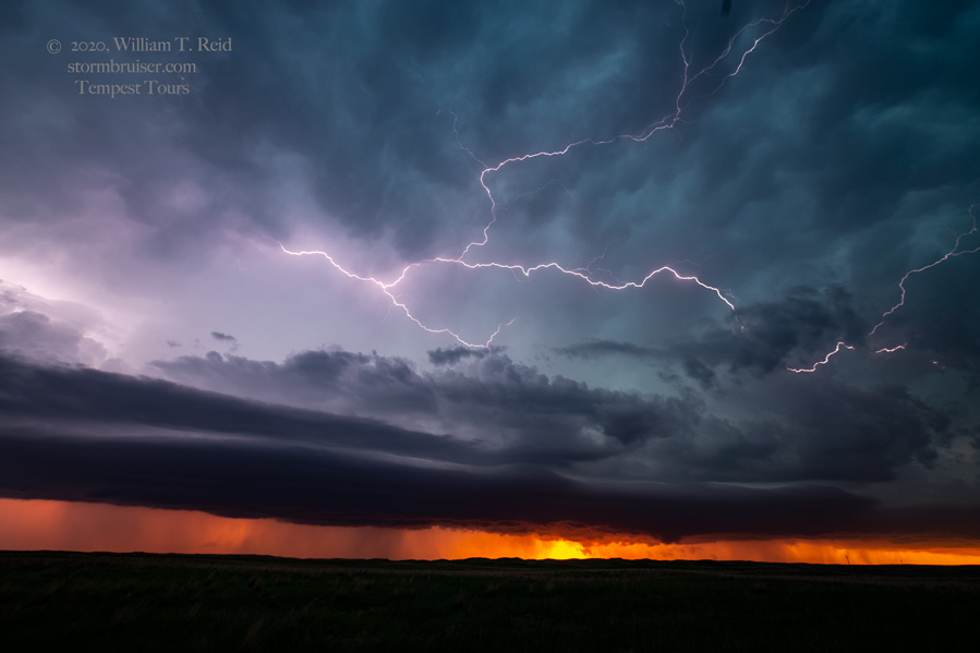
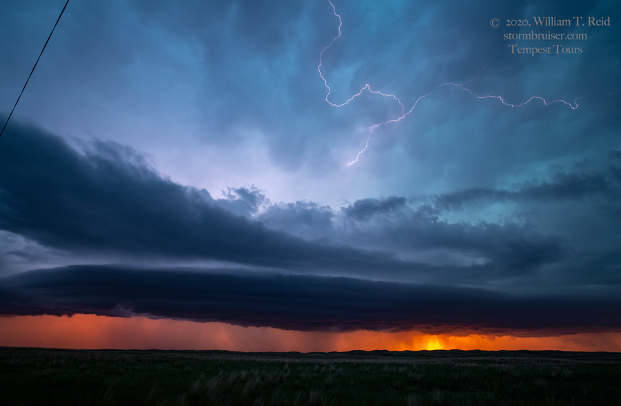
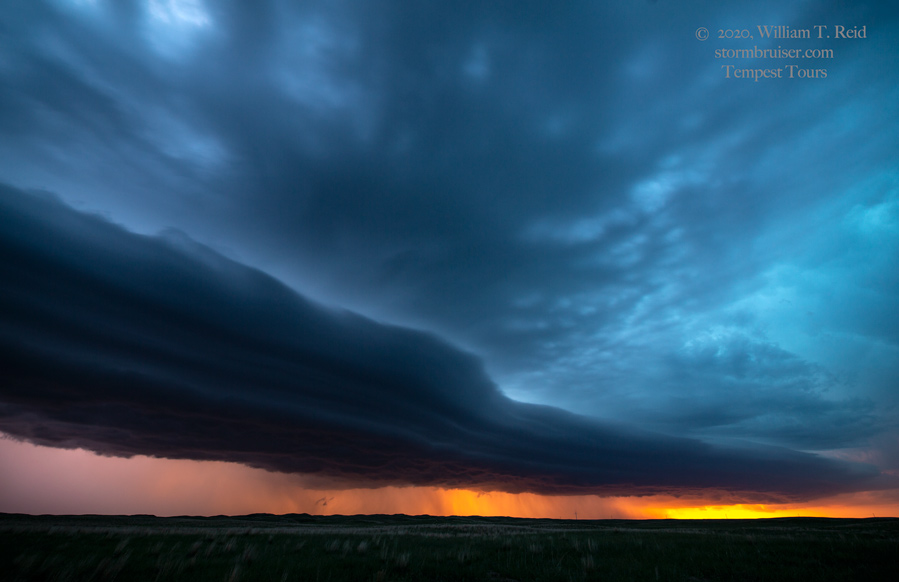
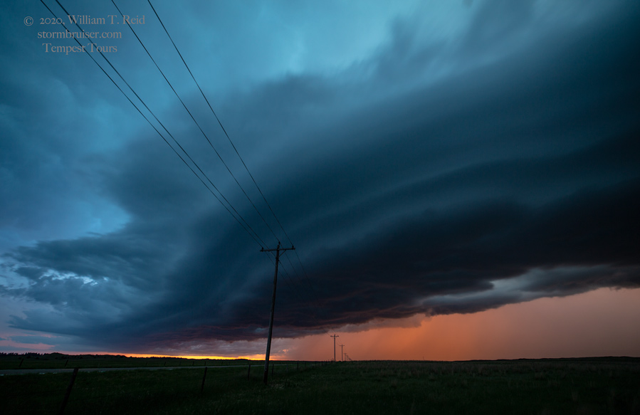
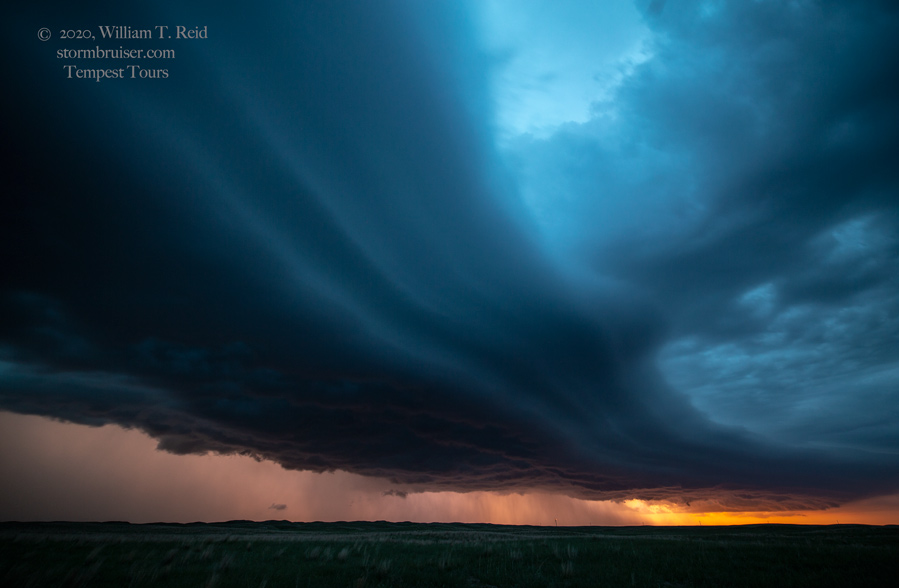
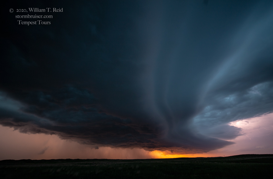
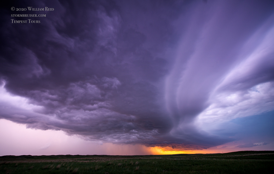
This one had no intention of getting strong. We headed south and east to uncontaminated air closer to the SD/NE border. A really nice storm developed just to our southeast, around Vetal. The storm tops were nearly 60,000 feet, the lightning was great, and I thought that we were in Fat City. But then new stuff was going up to the south of it. The new stuff got very strong (barely into Nebraska), and diverted the good air away from our close cell. We were left with junk. And, we had to drive all of the way to 83 to get south to Valentine. An organized storm that was southwest of Valentine stayed strong just long enough to provide some structure for us around sunset.


Leave a Reply
You must be logged in to post a comment.