MOUNT MONTGOMERY, NEVADA (site)
This leisurely drive to visit some new (for me) areas of western Nevada began in Bishop, California. My first stop was Mount Montgomery, which kind of sounds like a double mountain. This is a ghost town in Nevada, just east of Montgomery Pass along Highway 6 at around 7120′ elevation. As you might have guessed, the spot is adjacent to a mountain called “Montgomery” — Montgomery Peak. But, Montgomery Peak is in California. At 13,447 feet, Montgomery Peak is 300 feet higher than nearby Boundary Peak, at 13147 feet above sea level. Boundary Peak is the highest point in Nevada and is less than one mile from Montgomery Peak. In other words, California wins in this battle of the double peaks, but Nevada gets a participation trophy.
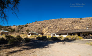
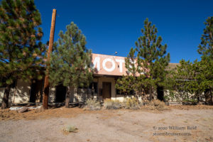
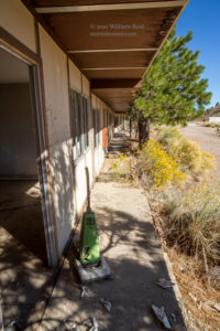
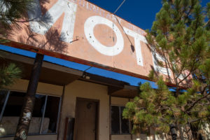
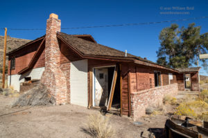
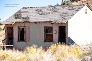
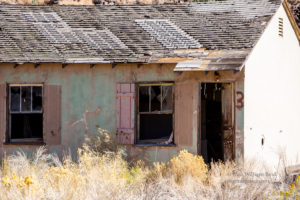
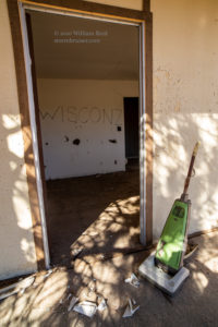
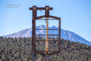
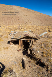
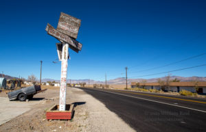
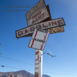
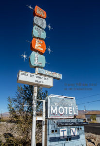
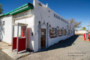
According to Internet sources, which are rarely wrong, the little hamlet of Mount Montgomery was a place for the traveler, replete with a cafe, motel and casino. These are now abandoned (and/or burned down). Ironically, the name of the motel, shown below, was “Boundary Peak Motel.” So even though the motel was in a place called “Mount Montgomery,” it did not get named after the peak that the town was named for, but it is named for the adjacent peak which is lower in elevation. The final picture in the batch below shows the two peaks, with Boundary Peak on the left and the slightly more distant Montgomery Peak on the right. (California also wins in its battle with Nevada for lowest elevation.)
BASALT, NEVADA (site)
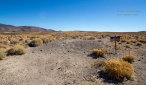
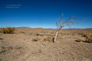
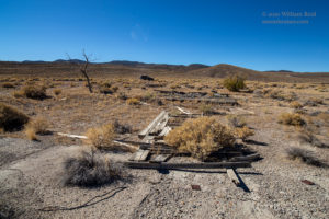
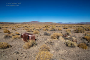
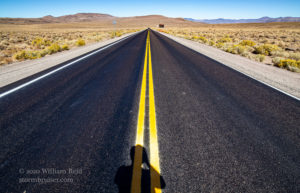
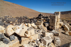
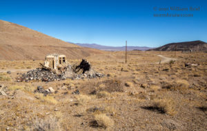
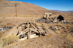
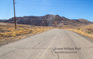
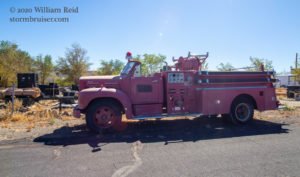
Down U.S. 6 a bit, near the bottom of the hill, is the abandoned site of Basalt, Nevada, in Mineral County. If you like Basalt and geology and learning, then check out this web site. Basalt had a post office for about half a year in 1906. All other years featured zero post offices in Basalt. The nearby mine (which produces diatomaceous earth) is still worked, apparently. I managed to get a few shots of some leftover junk at Basalt, plus some road and sign pics at the U.S. 6/Nevada highway 360 junction. I wonder if there is a mine that I can visit which produces diatomaceous venus? And if “earth” is not capitalized, then I am not going to capitalize “venus.”
CANDELARIA, NEVADA (ghost town)
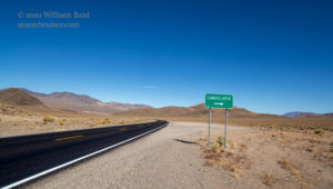
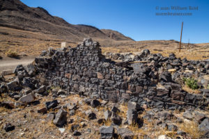
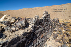
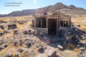
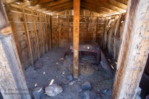
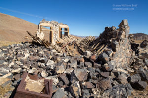
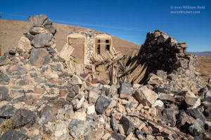
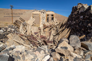
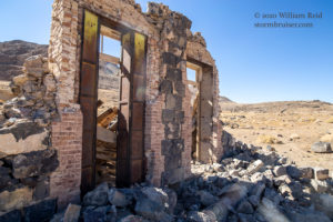
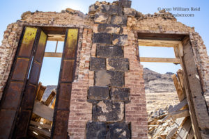
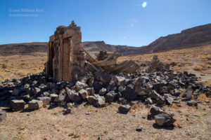
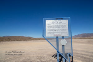
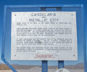
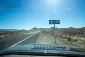
North on 360 I motored, with a right turn on the easy dirt road to Candelaria, Nevada. Candelaria is another ghost town that is adjacent to a large mine. A nice Candelaria video is here. The images below show the approach from the west along the dirt road some crumbling buildings along this road through the town site. The silver mine is on the south side of the road. The road becomes paved at Candelaria to U.S. 95 to the west. The 4th-to-last image below shows the strip mine in the distance, and a Nevada Historical Marker at U.S. 95 (near the Esmeralda/Mineral county line). Candelaria was at its busiest in the 1870s and 1880s. A lot more history is here.
There is a connection between Candelaria and Death Valley. For part of the 1890s, Fred Corkill was the USWB weather observer in Candelaria. (There is an interesting story about Corkill and a local meteorite discovery here.). Corkill came from the Isle of Man to America in 1874 at age 18. He was a mining engineer, and he presumably worked for the local mining company in Candelaria while acting as the weather observer. By the early 1900s he was working for Francis (Borax) Smith as a mill superintendent for the Pacific Coast Borax Company, which owned and operated Greenland Ranch in Death Valley. Corkill setup the original weather station at Greenland Ranch in June, 1911, for the U.S. Weather Bureau, and hired Thomas Osborn as ranch caretaker and weather observer for its first summer of weather observations.
I suppose that the discussion about Corkill is a bit off-topic for this post, but it is kind of cool to learn how people lived and moved about back in those days. My investigation on Death Vally temperatures includes this section, which includes some pics of Fred!
MINA, NEVADA
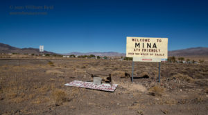
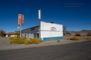
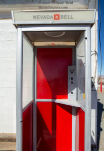
The next stop was a short distance north on U.S. 95 to Mina, Nevada. Mina boasts about 150 residents. The town was established in 1906 in support of the Carson and Colorado Railway. The railroad ceased operations by 1960, but Mina persisted. There are only a couple of places of business for the traveler here.
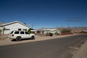
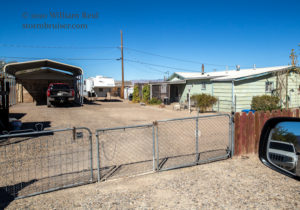
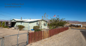
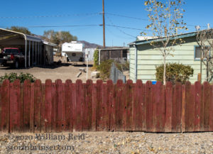
The final four pictures below show the official NWS weather station in Mina. Weather records here began more than 100 years ago, and it is important that the climate record for Mina lives on. Fortunately, a resident in town has provided part of his or her property for the temperature instrumentation and raingage. All four of the photos were taken along a residential road (Candelaria Street, just southwest of A St.), looking to the north. The radiation shield and raingage are rather close to the home, a fence and other structures. Since the ground around the weather station is bare, this poorly-ventilated and poorly-exposed station in Mina would presumably, or likely, record maximum temperatures in summer at least a couple of degrees warmer as compared to a spot in town that is well-exposed.
NINE MILE RANCH (but not Aurora)
(also known as 9 Mile Ranch)
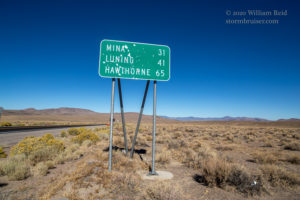
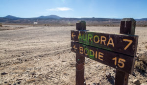
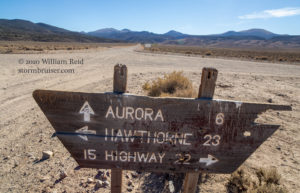
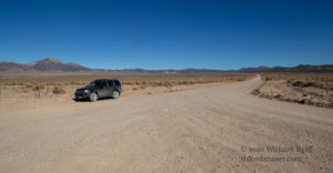
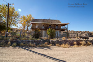
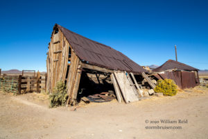
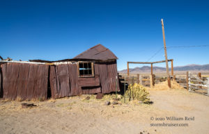
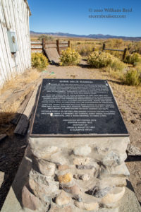
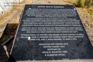
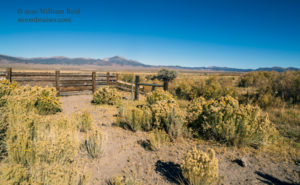
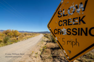
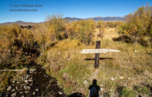
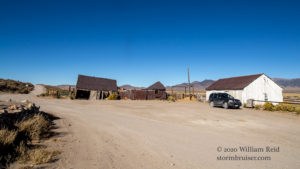
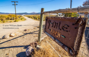
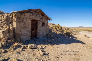
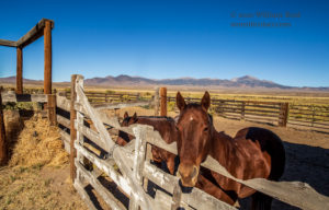
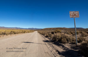
From Mina I continued to Luning and Hawthorne and Lucky Boy Pass, and west to Fletcher and 9 Mile Ranch. One of the photos below shows a plaque with all of the information ever compiled for 9/Nine Mile Ranch. The ranch is along Rough Creek, which joins Bodie Creek a little to the north. Anyway, there was no one around. Since there were some horses in the corral, I figure that someone stops by once in a while!
By the way, are you familiar with the ghost town of Aurora, Nevada? I passed the road to Aurora, but did not visit the town site on this trip. I visited Aurora about 30 years ago. I found nothing standing, nothing remaining. Aurora had about 10,000 residents back in the 1860s thanks to the adjacent prolific gold and silver mine. The town declined quickly after the 1860s. Aurora was at one time the county seat of Mono County, California. And, at the same time it was the county seat of Mineral County, Nevada. Later surveys found that the town was on the Nevada side of the border by about two miles. Wouldn’t it be funny if Los Angeles, the county seat of Los Angeles County, were to be found to actually be in a state other than California? Of course it would.
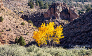
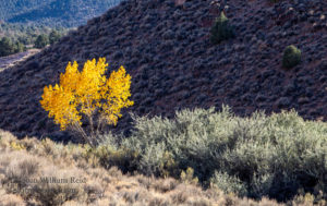
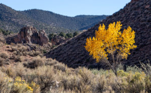
And aren’t these photos of Nine/9 Mile Ranch pretty?
EAST WALKER RIVER at THE ELBOW
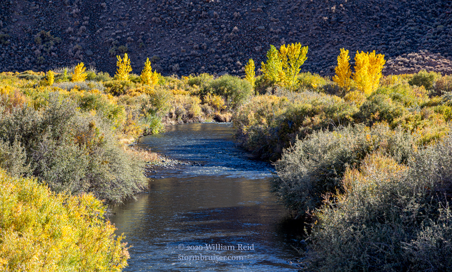
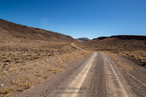
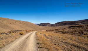
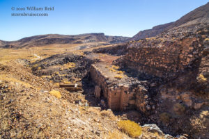
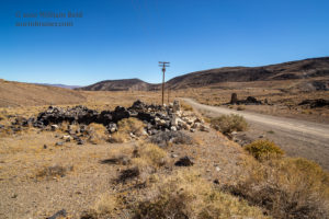
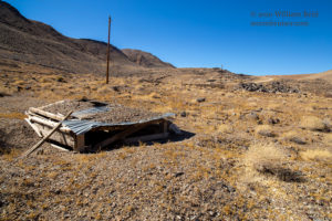
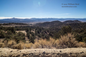
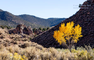
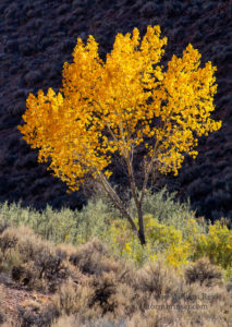
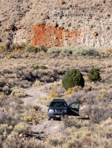
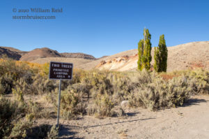
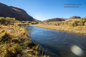
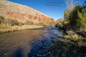
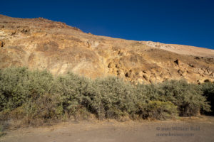
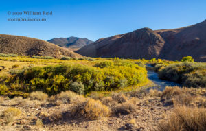
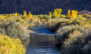
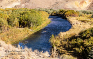
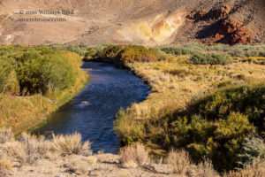
My final set of images for this day are from the area near “The Elbow” along the East Walker River, in the middle of nowhere (east of Highway 338 in Nevada and Mineral County). The pictures speak for themselves. Hold your ear to the pictures.

Leave a Reply
You must be logged in to post a comment.