
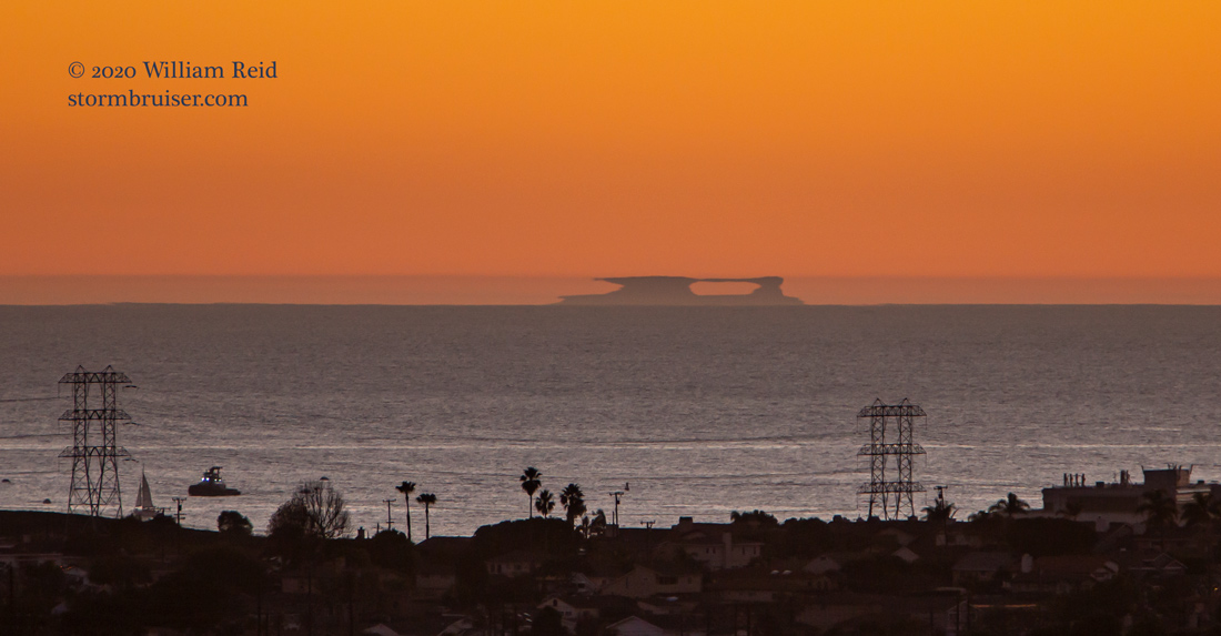
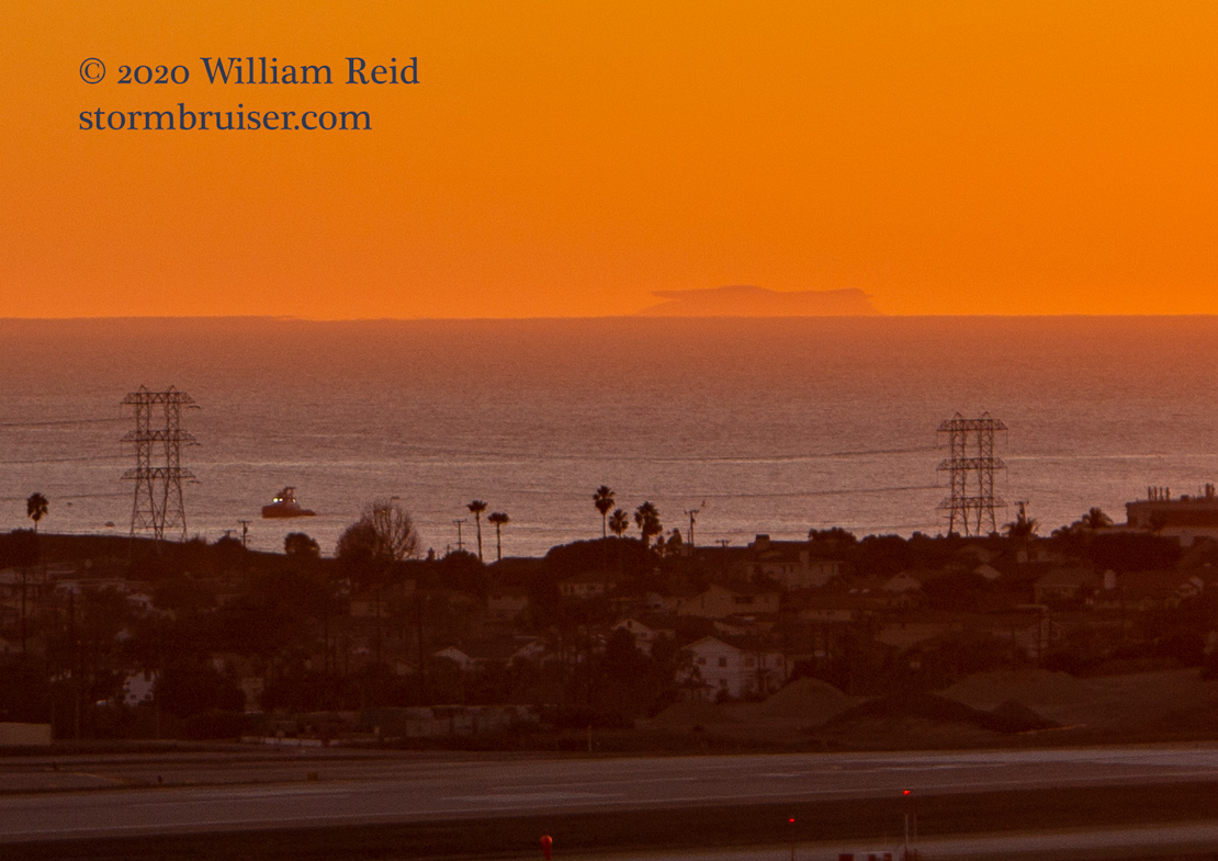
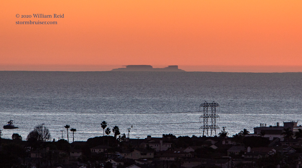
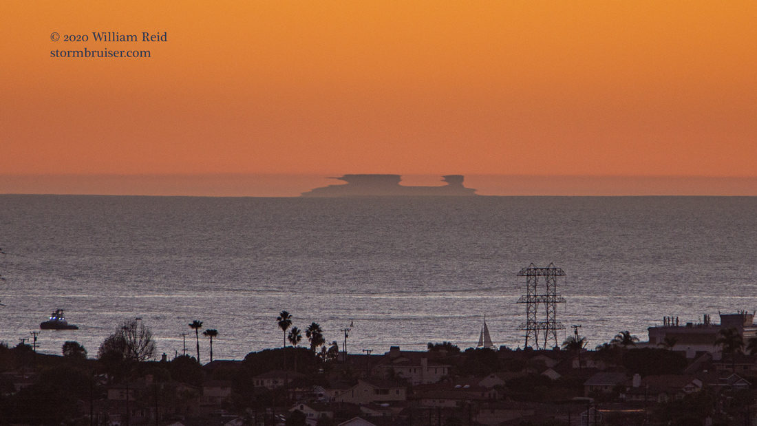
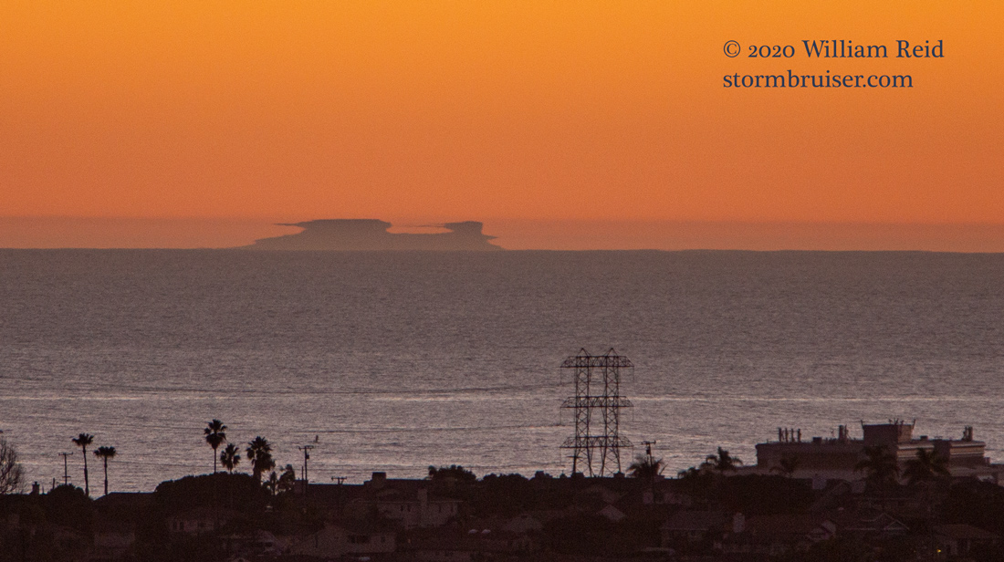
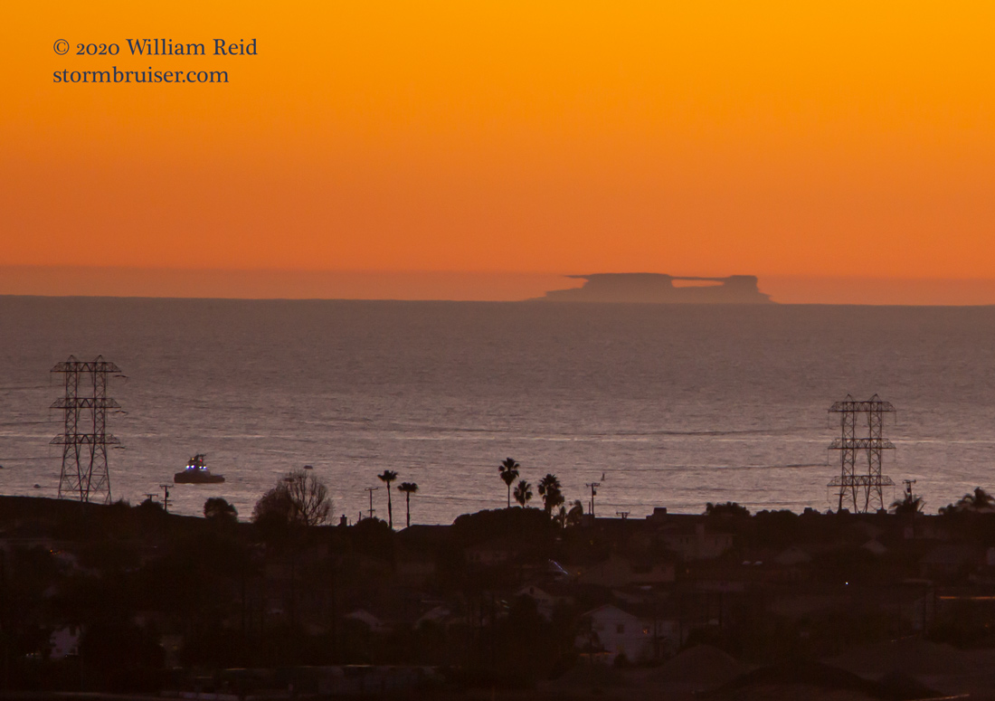
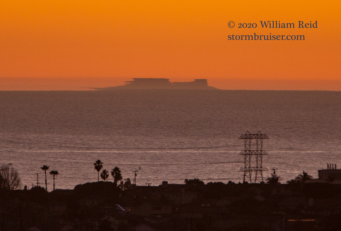
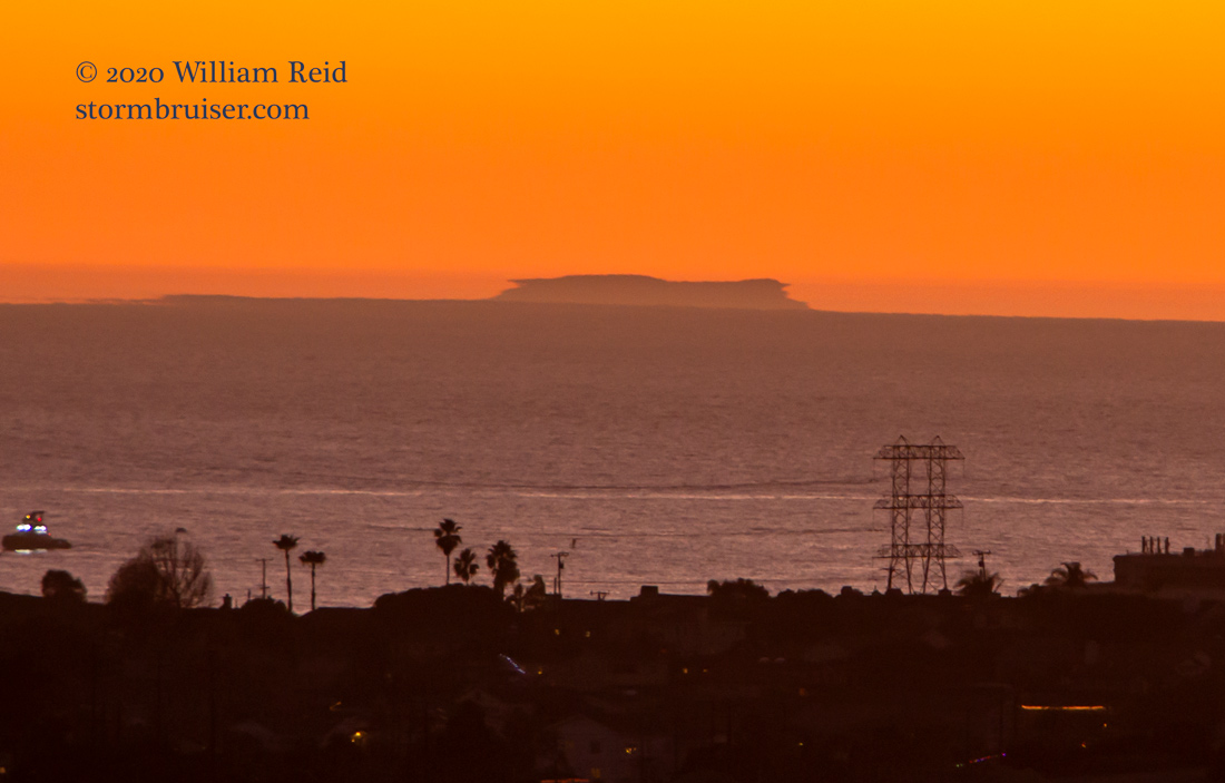
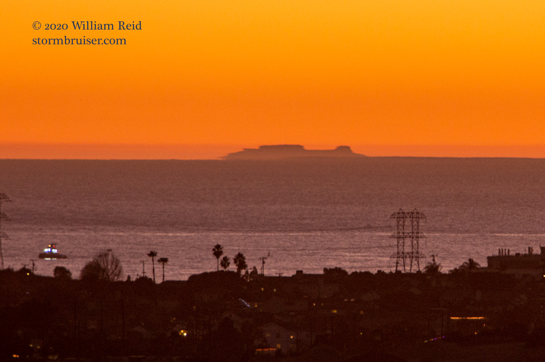
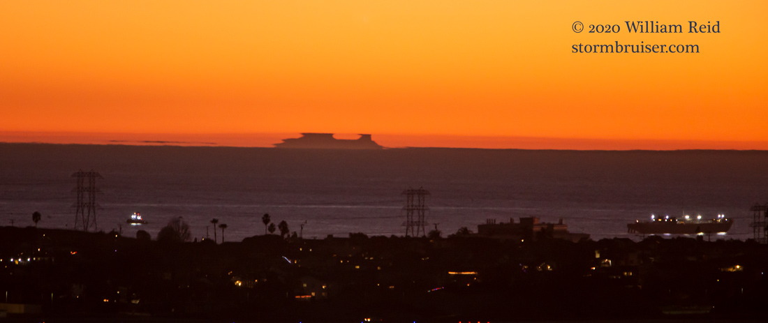
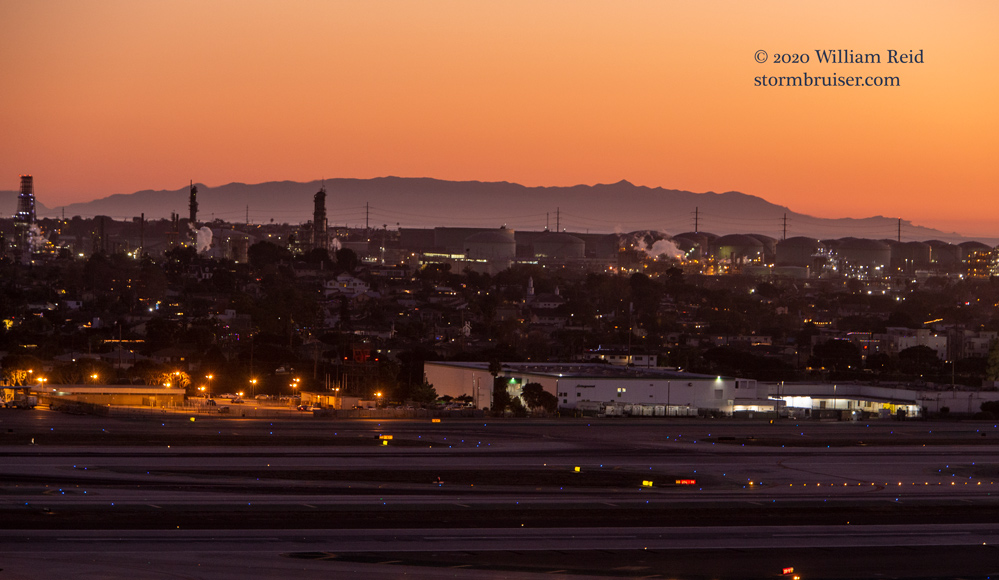
Visibility in the Los Angeles area was unlimited in most directions by sunset this day. These images were taken from the observing platform of the control tower at Los Angeles International Airport. The first one was a little before sunset, and the remainder were after sunset, within a period of about 30 minutes. An optical phenomenon named “Fata Morgana” caused Santa Barbara Island to take on a variety of weird shapes and outlines. Strong refraction of light through low-level air temperature inversions is responsible for the effects. One typical effect is for the distant object to appear much higher, or taller, than it actually is, and for the top to look flat. The island is next-to-impossible to see from the beach areas near LAX in “normal” conditions due to its distance and low elevation. These shots were taken at 280mm, with considerable cropping.
I managed to get a few good shots of the same effect upon the same island (Santa Barbara Island) a few years ago from San Nicolas Island. Santa Barbara Island is only one square mile in size, it maxes out at 634 feet above sea level, and it is 48 miles southwest of the LAX control tower.
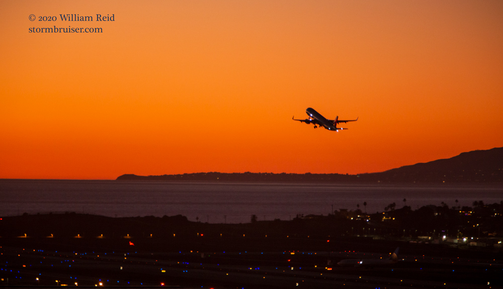
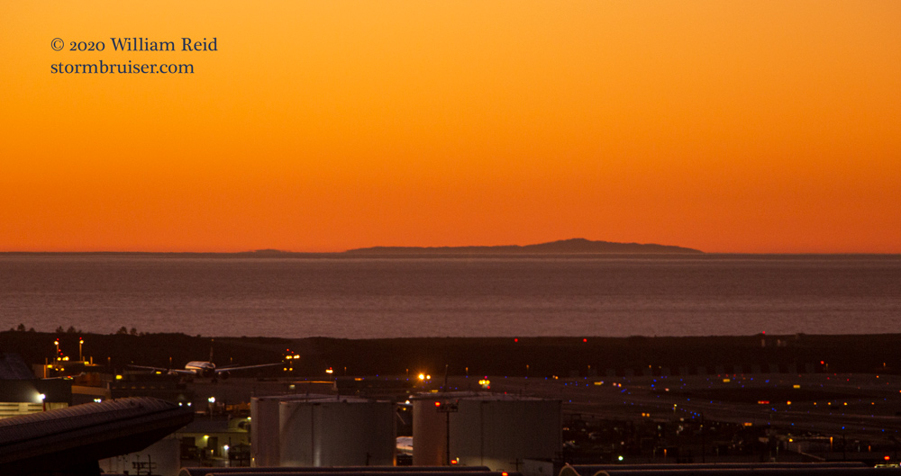
Below are shots from the same timeframe after sunset: Point Dume/Malibu and Santa Monica Bay (to the WNW), Santa Cruz Island (to the west), and Santa Catalina Island behind El Sugundo (to the south).
Leave a Reply
You must be logged in to post a comment.