Begin: Del Rio, TX
Lunch: Del Rio/El Hacienda
End: Uvalde
226 miles
SPC Mesoscale Discussion 453 SPC Mesoscale Discussion 457
SPC Mesoscale Discussion 459 SPC Mesoscale Discussion 462
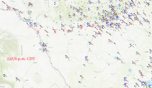
23Z/6 p.m. surface map
We were in good shape for the start of this chase — Del Rio, Texas. A front or prominent outflow boundary was sagging southward (east-west orientation, more-or-less) in the Del Rio vicinity, with hot and moist to the south and mild and moist to the north. Check out those temperatures on the surface map above. Temps are near 80F in the Del Rio area and in the 70s north of the front, and around 100F at Laredo and east of there. Surface winds were backed nicely beneath 70-knot SW flow at 500 mb. Instability and shear were excellent for supercells, and the tornado threat was good but not great.
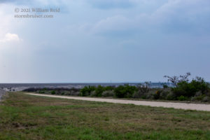
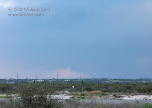
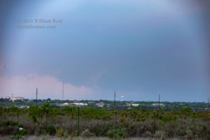
After lunch we headed up to the northwest edge of Del Rio. We basically just had to wait for something to develop on the higher terrain near the boundary west of the Rio Grande and then move eastward with it. That plan worked out just fine. We moseyed to the northeast side of Del Rio on some slightly higher terrain for a decent view. It was somewhat hazy, and eventually we could see some storm structure and a good-sized lowering.
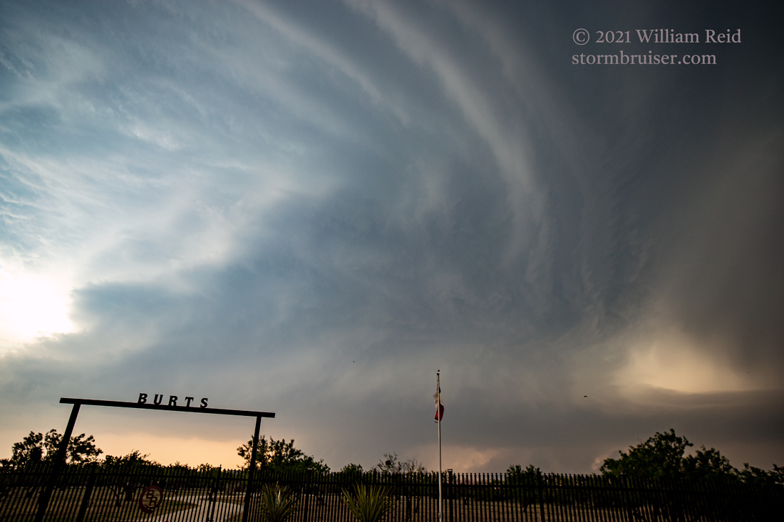
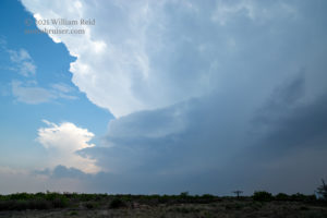
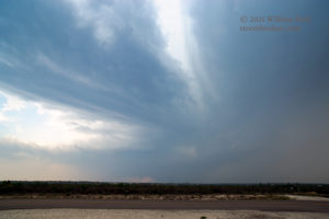
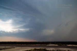
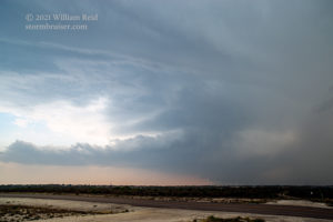
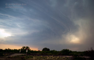
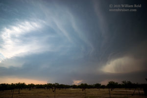
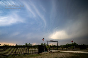
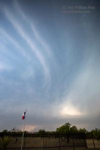
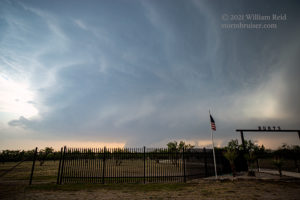
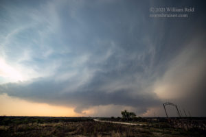
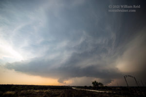
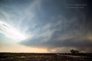
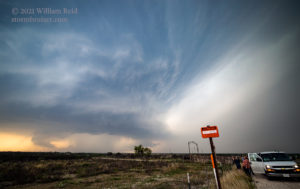
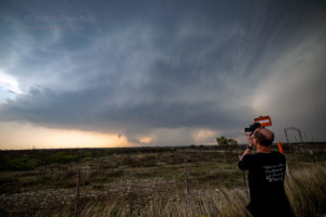
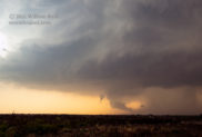
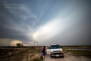
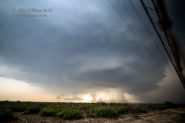
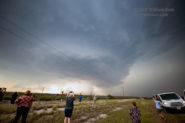
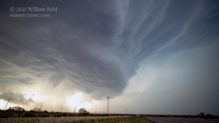
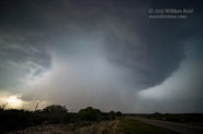
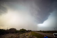
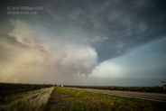
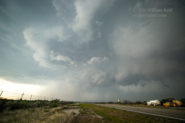
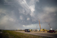
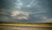
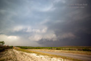
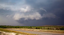
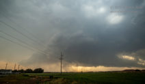
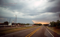
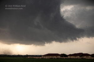
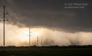
The storm was a great-looking supercell as it crossed into the United States. Unfortunately, the road network here is poor and we only had U.S. 90 to choose from. Fortunately, U.S. 90 (eastbound to Bracketville and Uvalde) was very-favorably positioned to stay with the storm. Early on, we were northeast of the storm base. We had a good look at the base, the structure, and any suspicious activity, but we were vulnerable to hail and lightning. We had some 1-inch hail hit us near Laughlin AFB and then we were on the chase towards the east. The pics below were generally about halfway from Del Rio to Brackettville (at Burts Ranch), and then closer to Bracketville, looking south of U.S. 90 towards the SSW to SW.
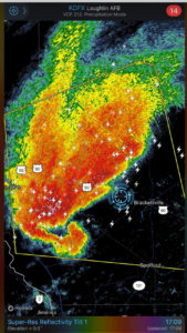
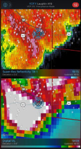
The radar presentation of the storm was fantastic, with a big-league hook echo! But, we observed no tornado this day. Thank you to TT guide Matt Phelps for the saved radar images here.
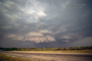
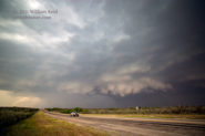
As we neared Uvalde, 90 took us more ESE-ward and we eventually found ourselves right in front of the storm base. By this time, the storm seemed to be a little less organized, a little more HP and a little less impressive visually. Still, it sported some good lowerings with decent motion. I think winds here, west of Uvalde, were just a little on the cool side and from the ENE. Usually any wind with a northerly component is detrimental to tornado formation, in part because that air has (usually) been cooled and stabilized by the forward-flank precipitation area.
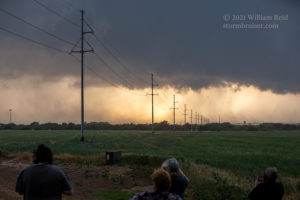
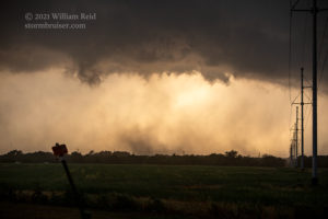
The final few images above and the four below (with the long lens) were from the Uvalde area (looking west for the most part). It looked like the storm was very close to making a tornado. There was a weak spin-up or two, but these were not really strong enough to warrant a tornado report. Was the surface air just a little too stable? Maybe.
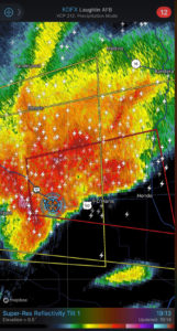
The radar presentations below show our location amongst the storm cores in and near Sabinal. These are from about 1900 to 1915 CDT.
There were a couple of storm cores of concern east of Uvalde. We made it east to Sabinal, but 90 had taken us to the ENE and thus made us more and more vulnerable to heavy rain and big hail. I needed a road to the southeast, but one such road was not available until Hondo, in another twenty miles. With a bad hail core to our east at Sabinal, I elected to just take cover in town and to let the trailing core overtake us. I think that we trailed the back end of the supercell for a little bit as it was tornado-warned, but the storm was very HP (high-precipitation) and we could not see much, even though we were not that far from the action area. I didn’t want to mess with the storm in Hondo, so we set our sights on another supercell back to the west, near Uvalde. If we had continued into Hondo, we might have seen some of the (Texas) record-setting hailstones lying around! One of them was 6.4 inches end-to-end. I didn’t really need to be driving around in that, did I?!
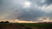
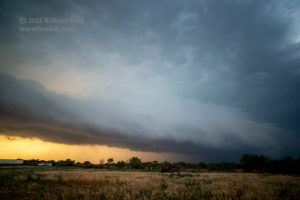
Back west on 90 to Uvalde, we had this pretty supercell to photograph at sunset.
It was not nearly as strong as that initial cell, however. Later, we dropped south out of Uvalde to get in front of another storm. As it got dark, the storm threw some tennis-ball sized hail at us and we quickly high-tailed it southbound to La Pryor so I wouldn’t have to sit in the autoglass replacement shop in Uvalde the following morning.








Leave a Reply
You must be logged in to post a comment.