
Start: Eads, CO
Lunch: Limon/Subway et al.
End: Dodge City, KS
511 miles
(Previous day, OKC to Eads, 354 miles, start of Tour 2 with Chris G. and Bill S.)
SPC Mesoscale Discussion 473 SPC Mesoscale Discussion 475
SPC Mesoscale Discussion 479 SPC Mesoscale Discussion 481
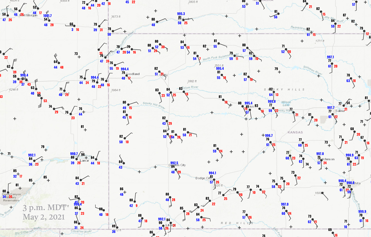
21Z Surface Map (3 p.m. MDT)
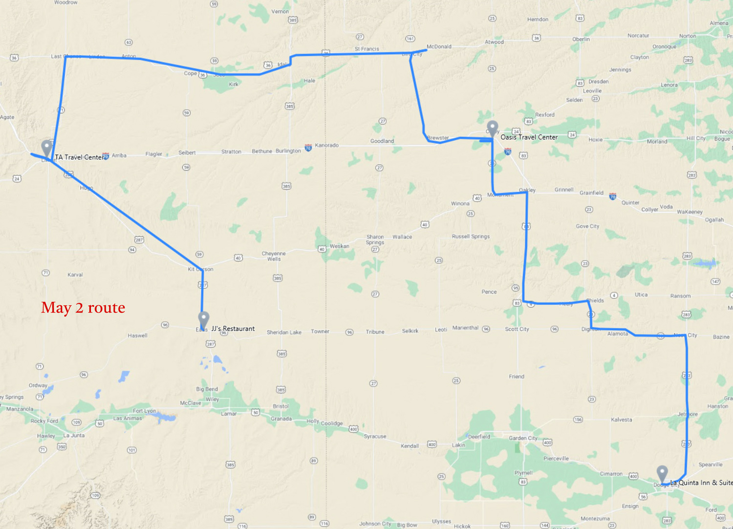
Route map above, courtesy of Chris G.
Time lapse of event courtesy of Chris Gullikson.
This day was looking pretty good for tornadoes — in and around Mississippi. We started in eastern Colorado and were going to play the upslope game, but low-level moisture was too meager for much of a tornado threat on the High Plains. SPC had an enhanced slight for wind and hail across much of NW and NC KS. I think that the day under-performed a little bit with regard to the SPC forecast, while MS had a bunch of twisters.
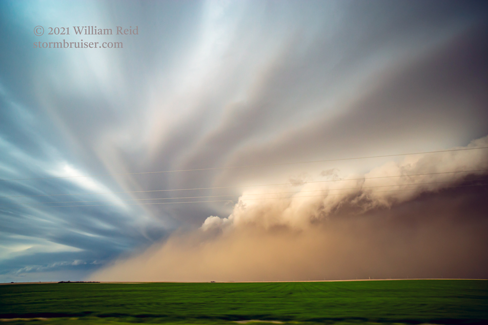
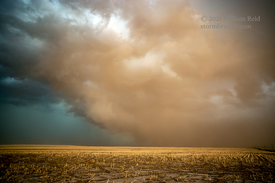
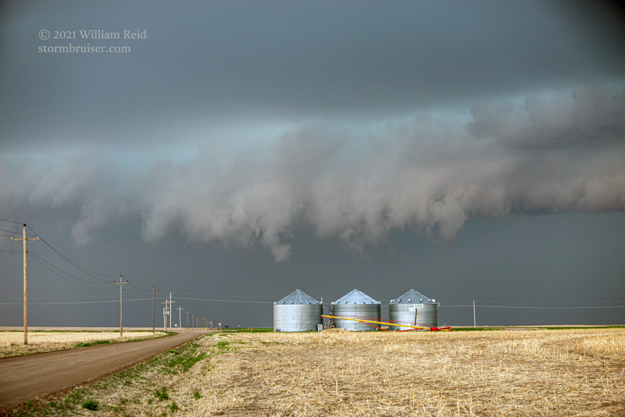
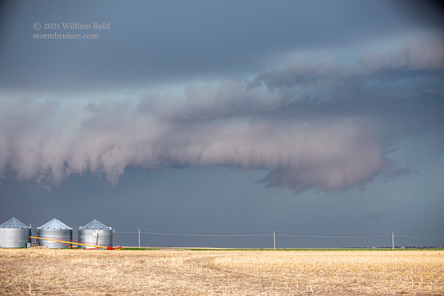
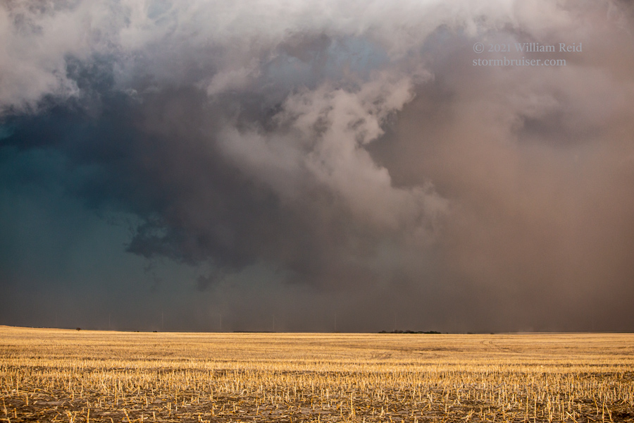
We watched some very ho-hum high-based stuff in the vicinity of Last Chance, and then scampered east into NW KS where instability was quite a bit better. A decent severe storm developed near Colby, and quickly became outflow dominant. (This mode was not surprising, given the 30-degree-plus temp/dew point spreads.) A large swath of dust came at us, and the storm (and/or new storms) were forcing us southward from Oakley to Scott City on 83. The dust-filled photos below show the activity while it was west of U.S. 83.
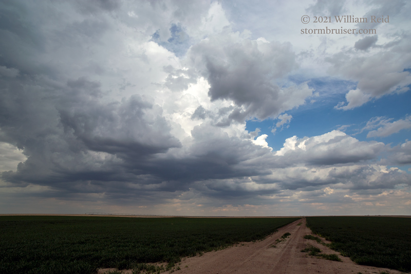
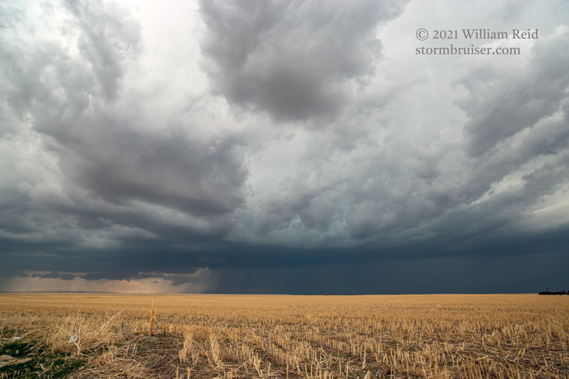
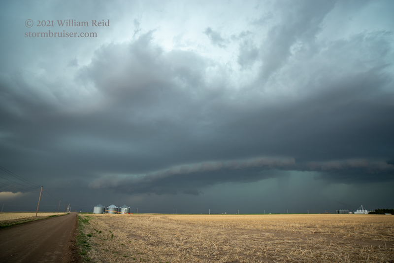
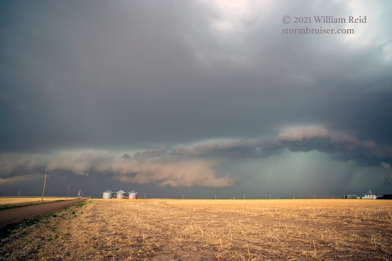
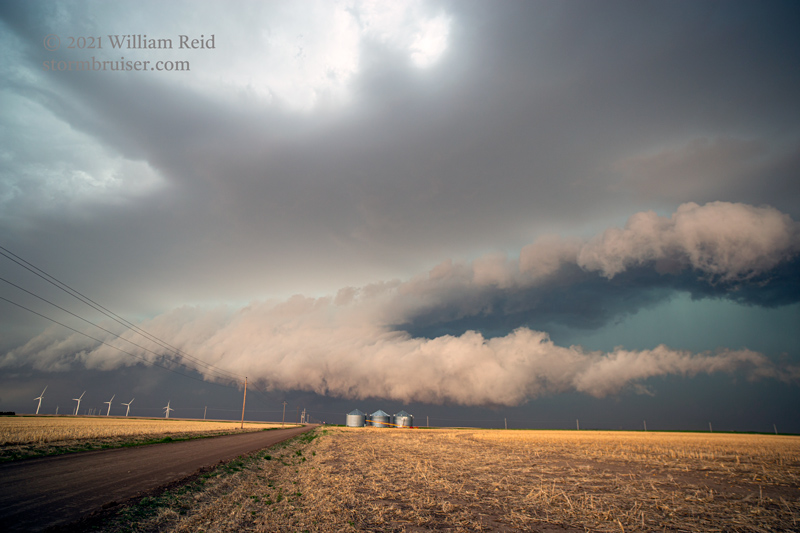
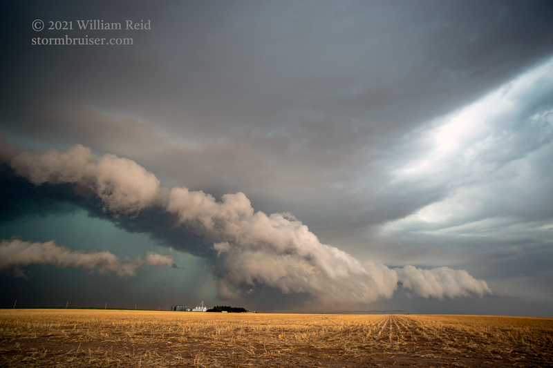
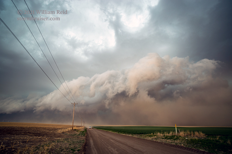
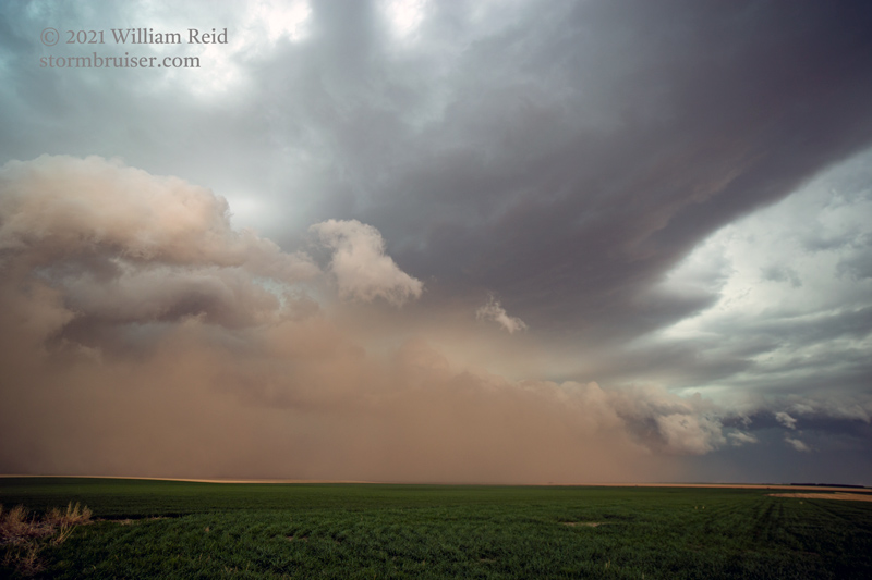
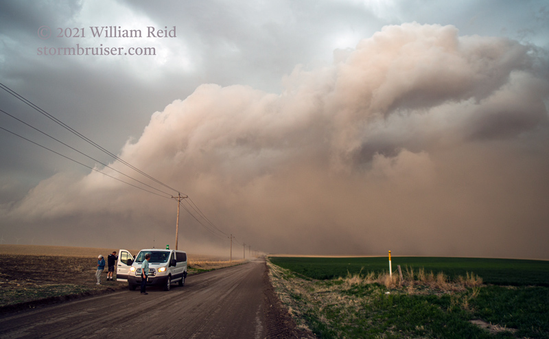
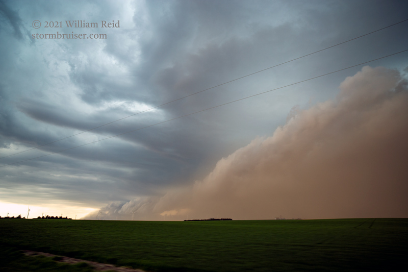
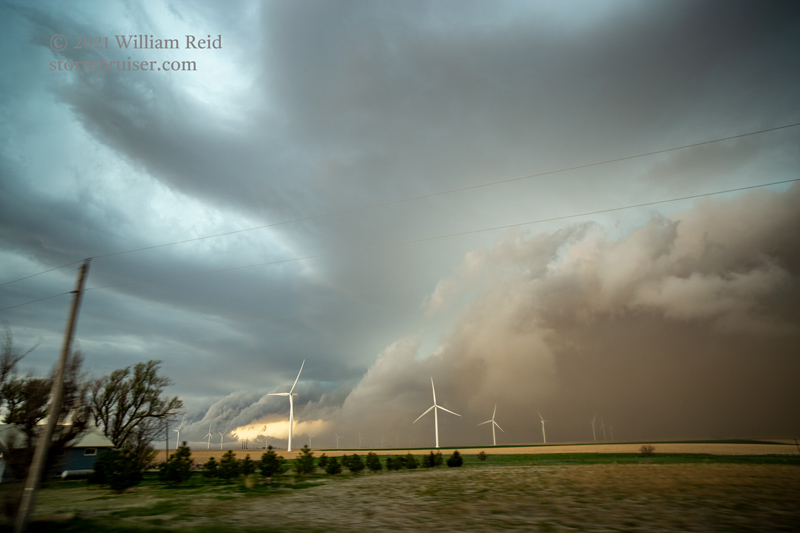
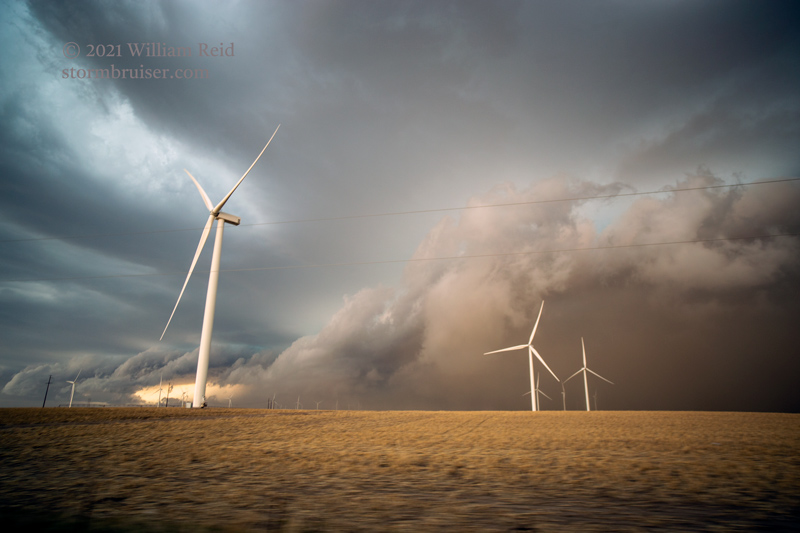
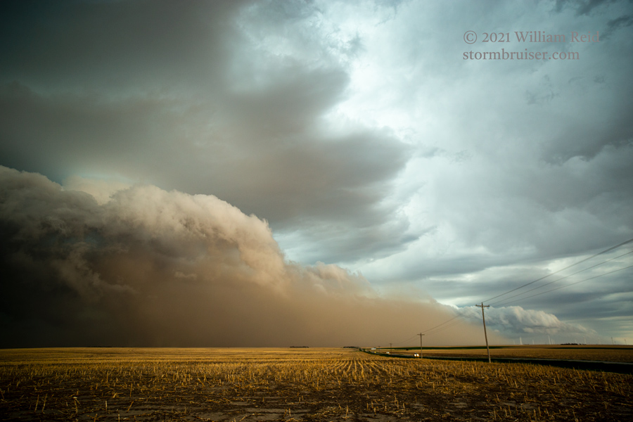
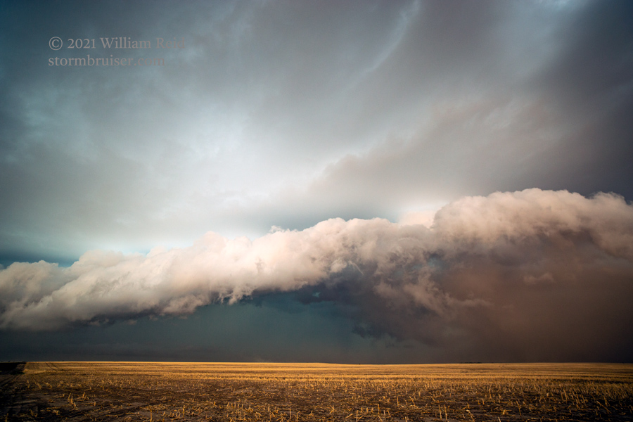
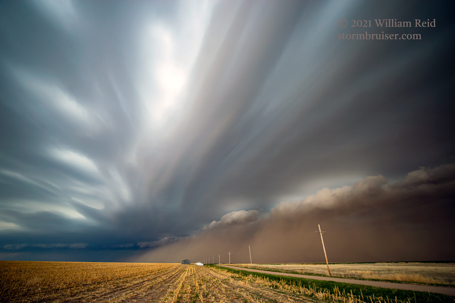
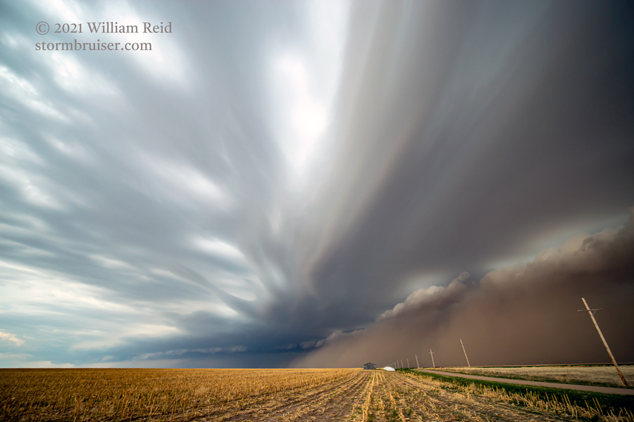
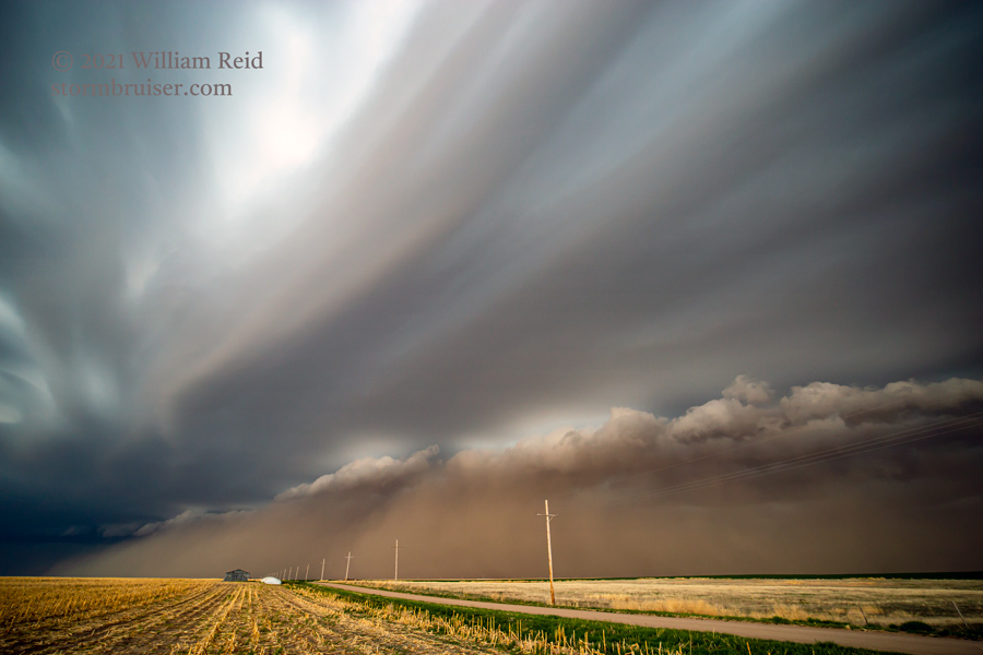
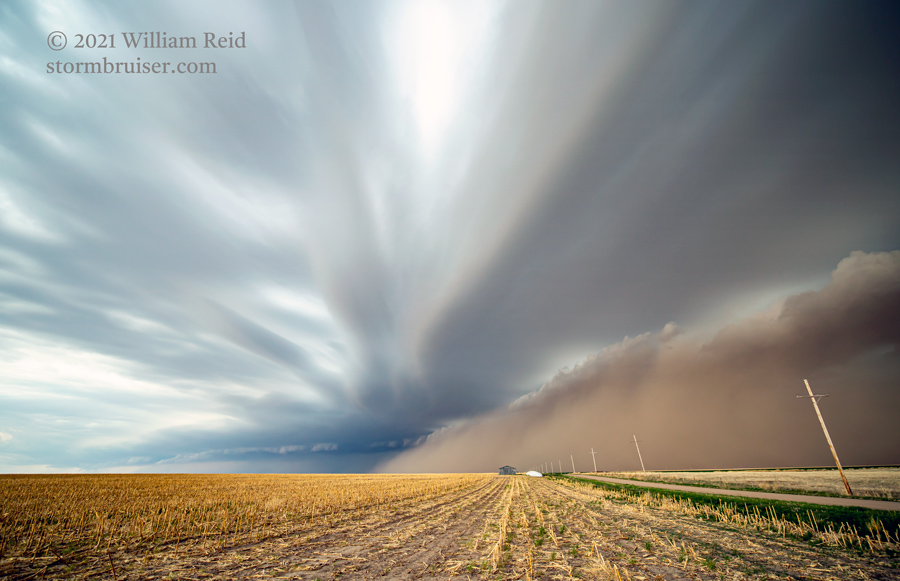
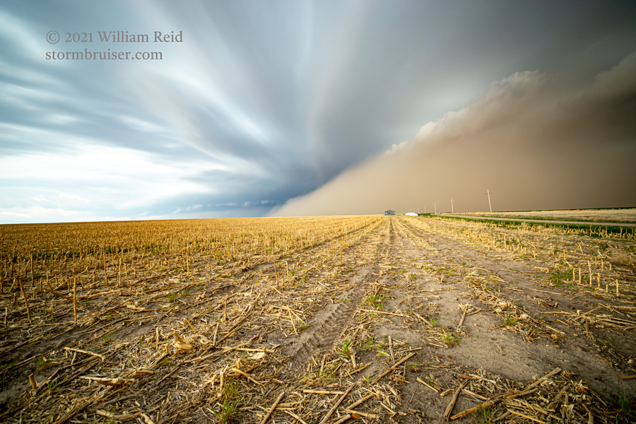
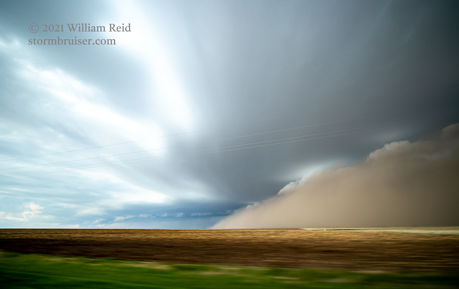
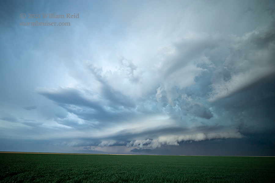
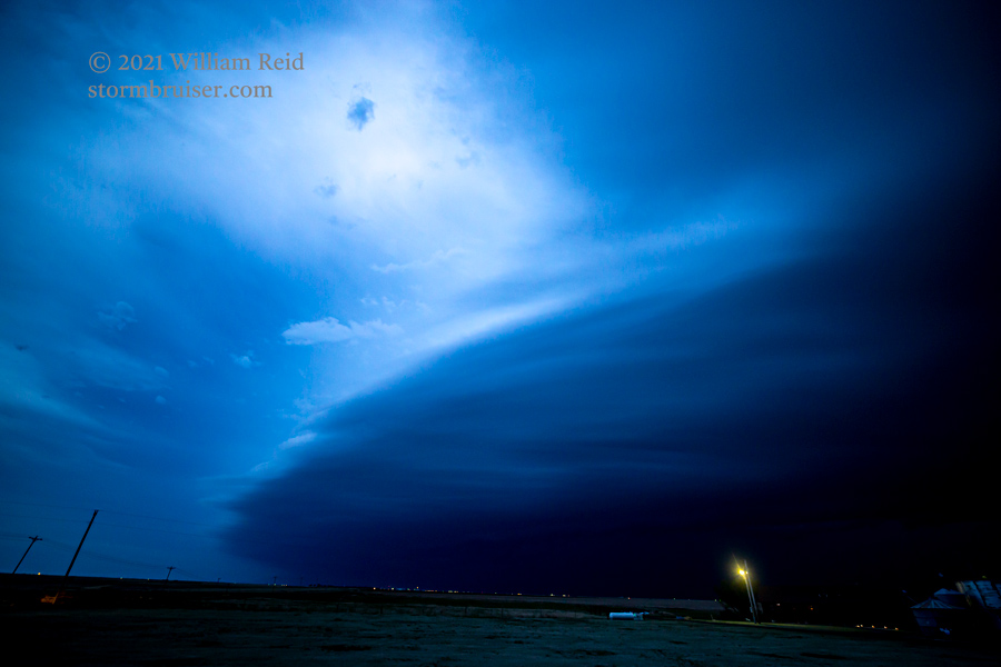
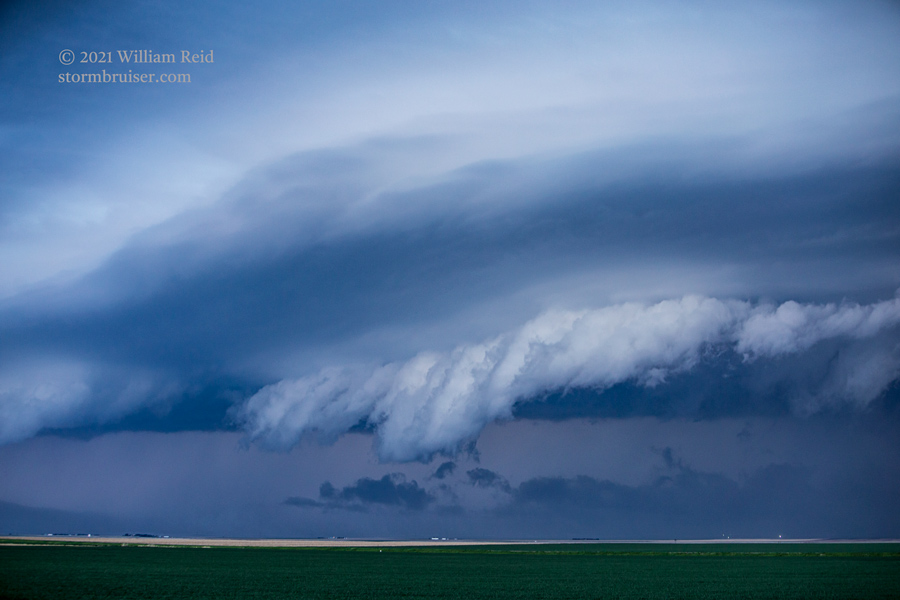
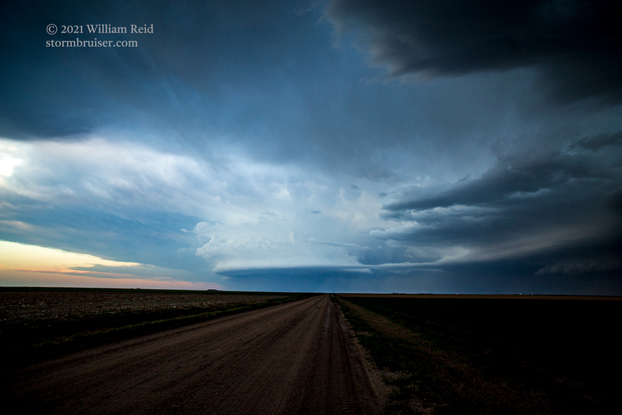
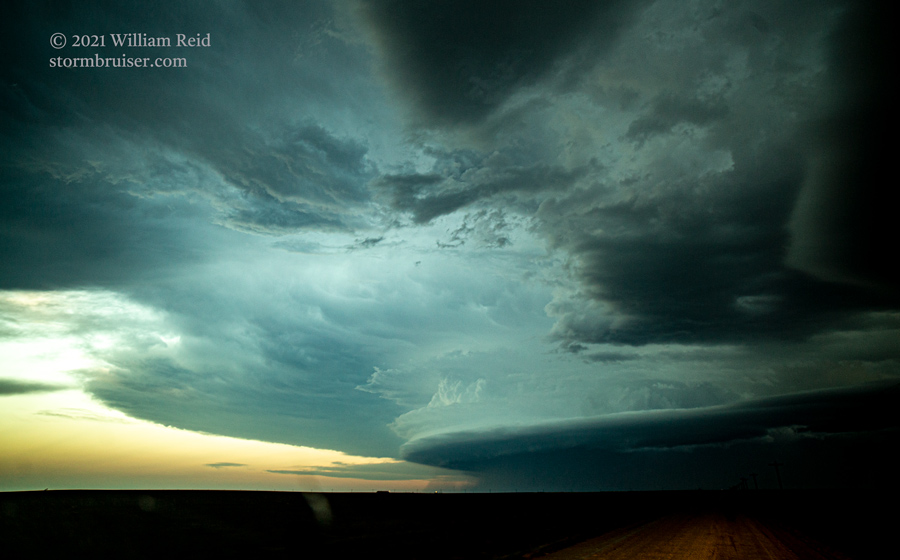
The last half of wide-angle storm shots above, with the good laminar look, were towards the south and southwest. The tail-end cell here was quite strong for a bit. We jumped onto Route 4 and headed to Healy and Shields to stay ahead. By the time we reached Ness City, it was getting dark and the nearby storms were back to ho-hum mode. More images from the Colby area and Scott City area are below.

Leave a Reply
You must be logged in to post a comment.