
Start: Shamrock, TX/Lunch: Liberal Subway/End: Oakley, KS/556 miles
SPC Mesoscale Discussion 605 SPC Mesoscale Discussion 606
Time lapse video of the chase by Chris Gullikson
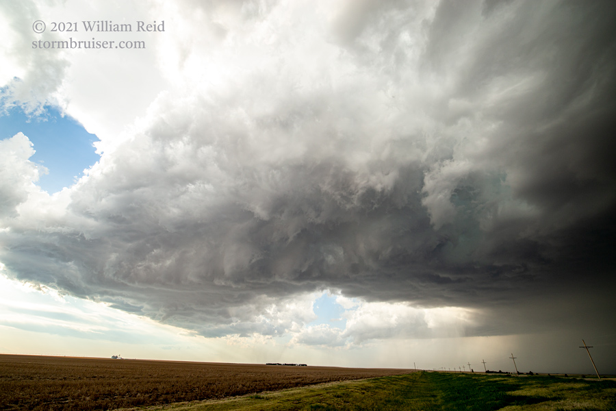
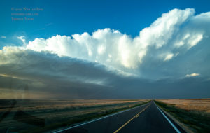
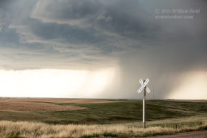
This chase day wound up being very good in northwest Kansas despite the low-end dew points (upper 40s) and SPC’s ho-hum marginal severe risk outlook. We scooted up from Shamrock to Benkelman, with convection beginning to our west. This was high-based with a few rain blobs falling out. Given the upper flow from the WNW, rotating storms were expected to head to the SSE, and that is what transpired. Southerly surface winds meant that there was plenty of turning with height as cells moved almost directly into the low-level flow.
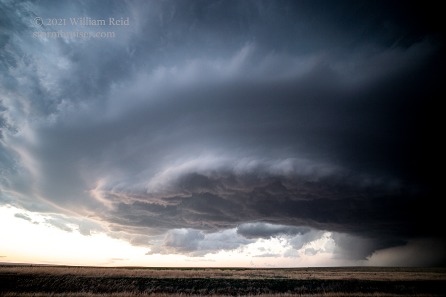
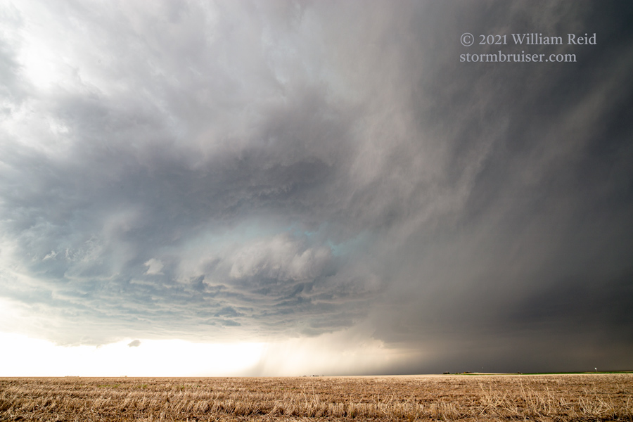
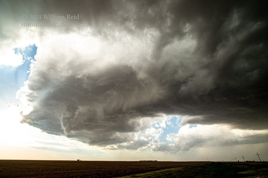
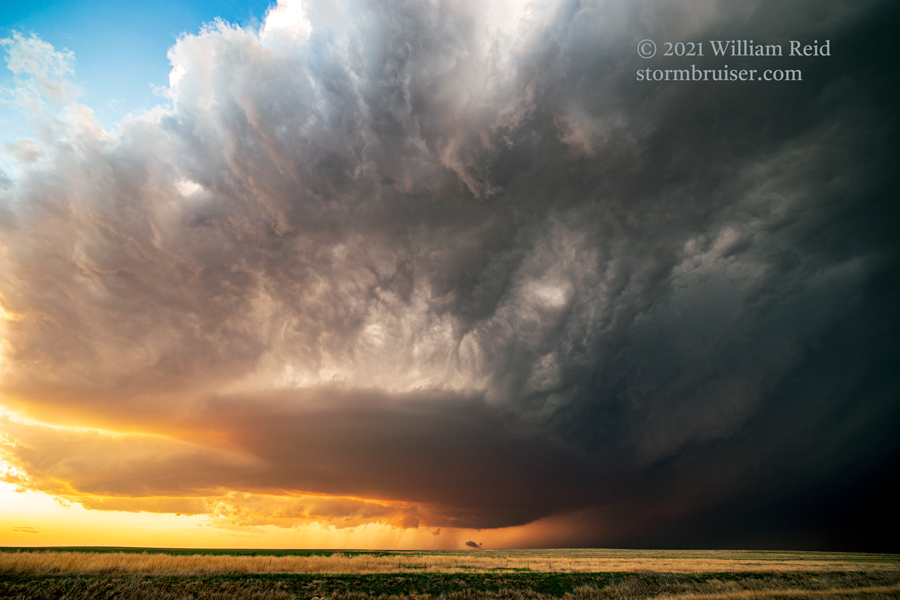
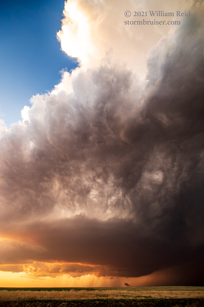
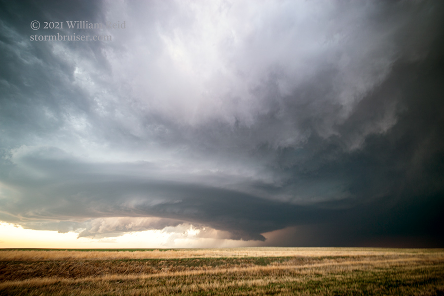
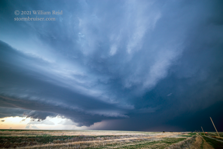
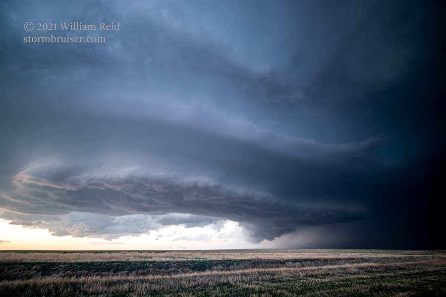
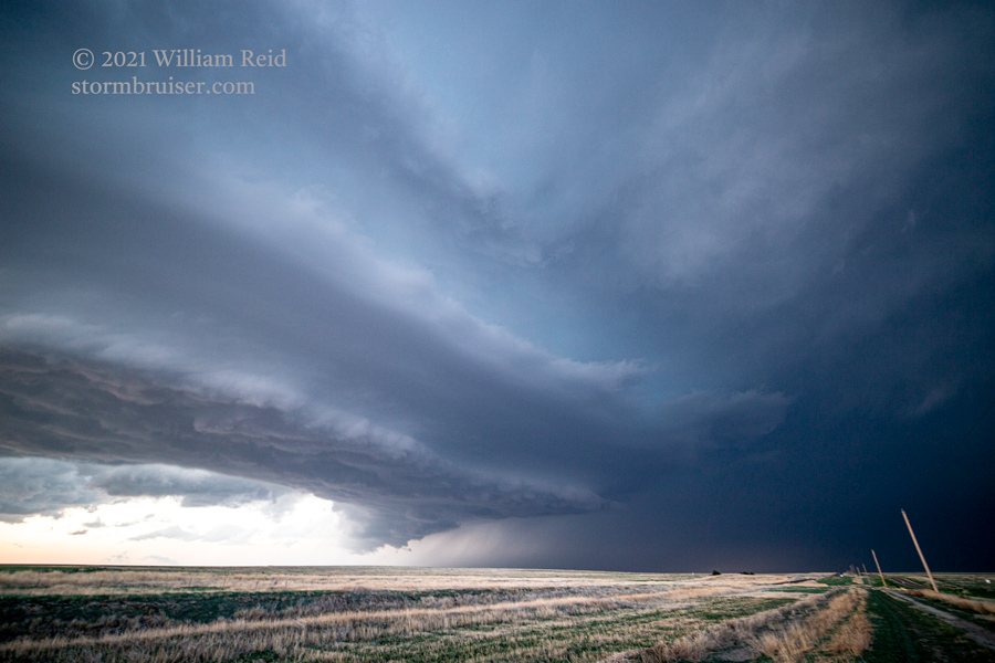
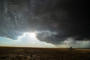
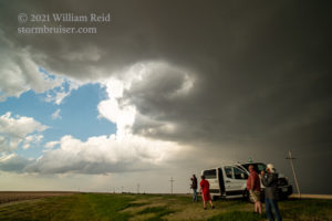
I had Richard and Chris drag us south and west to a spot near Wheeler, Kansas. From here, we had a good view of the organizing storm base to the northwest. Nearby Route 27 to Goodland was perfect for staying just ahead of the action area, which soon sported a big clear slot. There was plenty of rotation in the storm base, but it was just a little too high to provide much of a tornado chance. There was even a swath of dusty inflow feeding this thing.
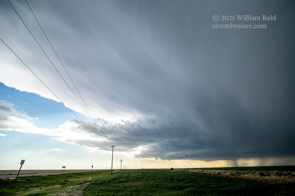
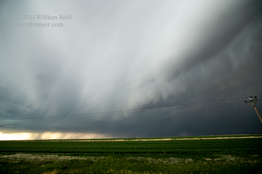
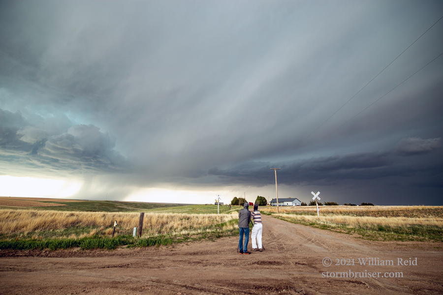
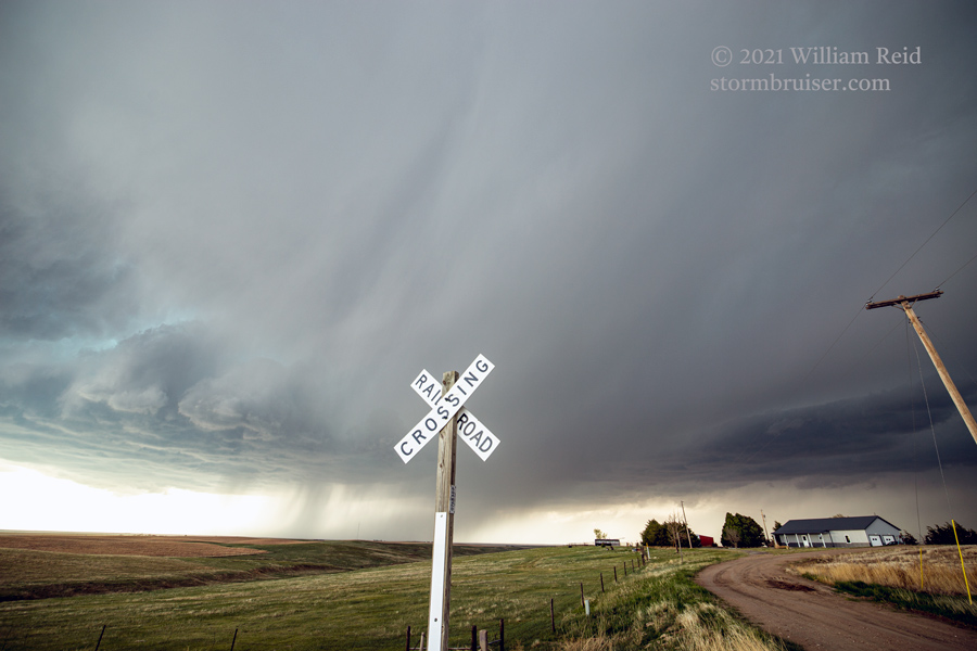
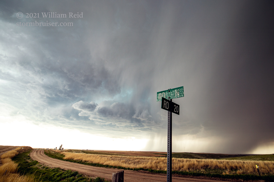
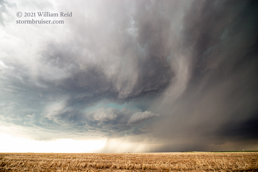
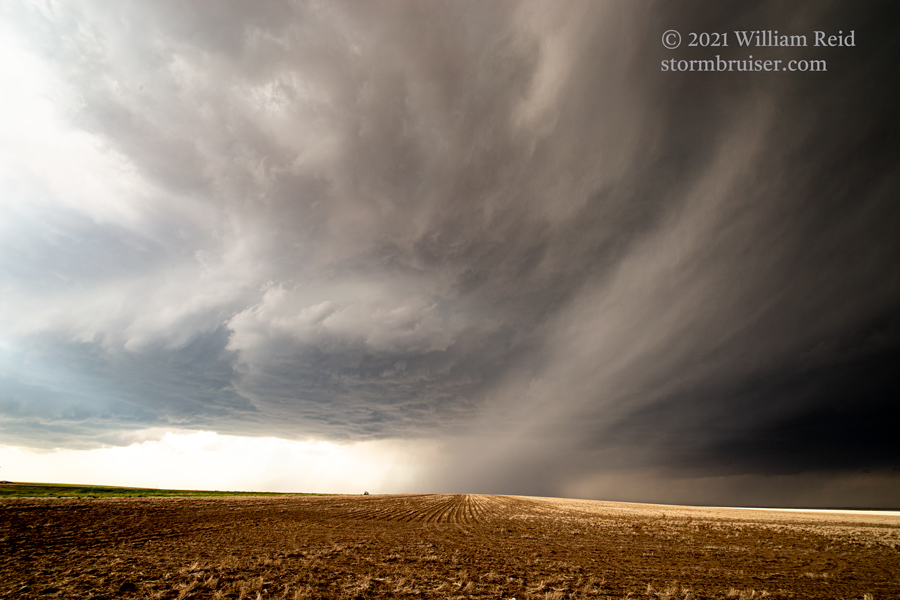
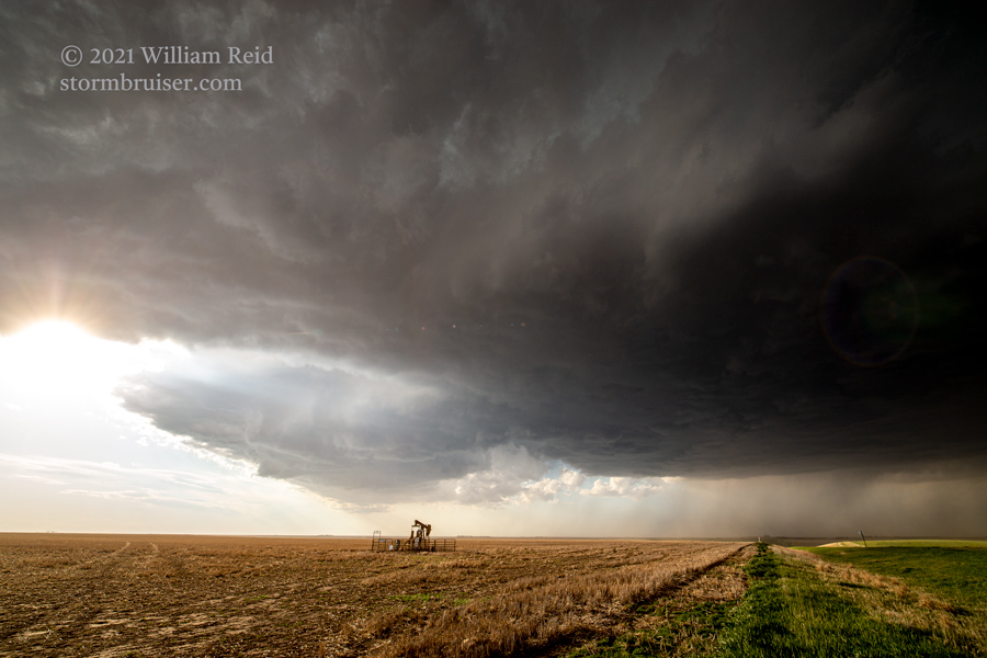
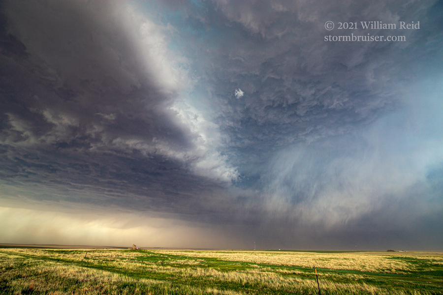
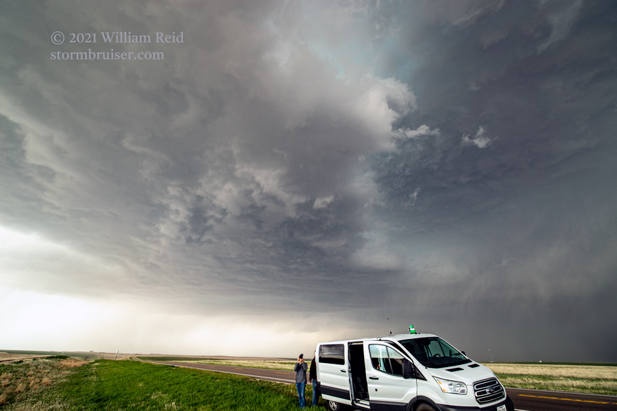
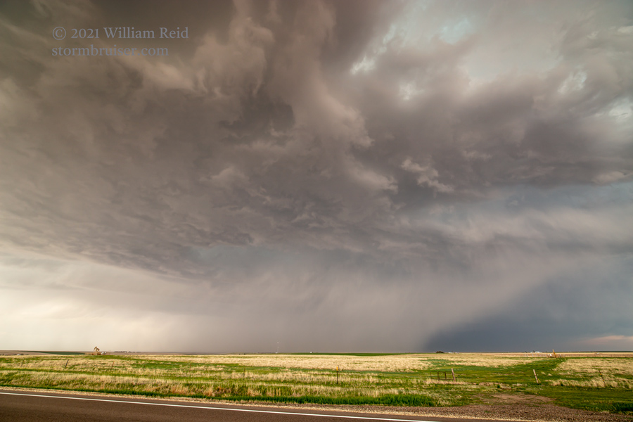
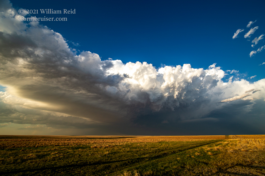
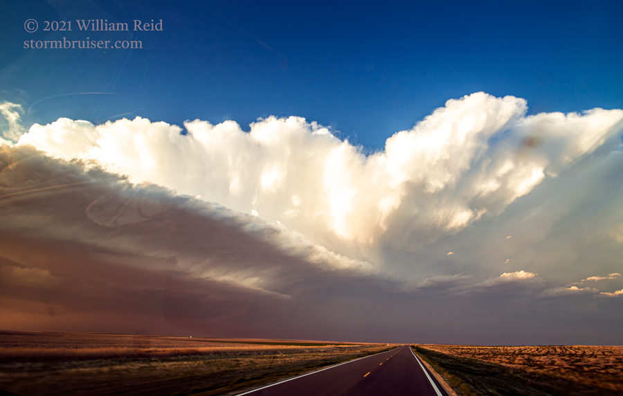
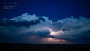
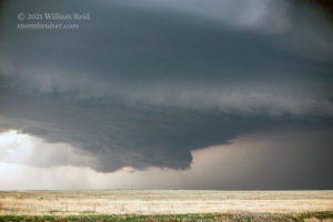
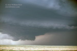
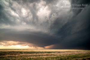
With the storm continuing to the SSE at a decent speed (25-30 mph?), we headed all of the way south to Sharon Springs, and then ENE-ward on U.S. 40 to come right back up to the supercell. A couple of stops along the way were made for some nice looks at the storm structure.
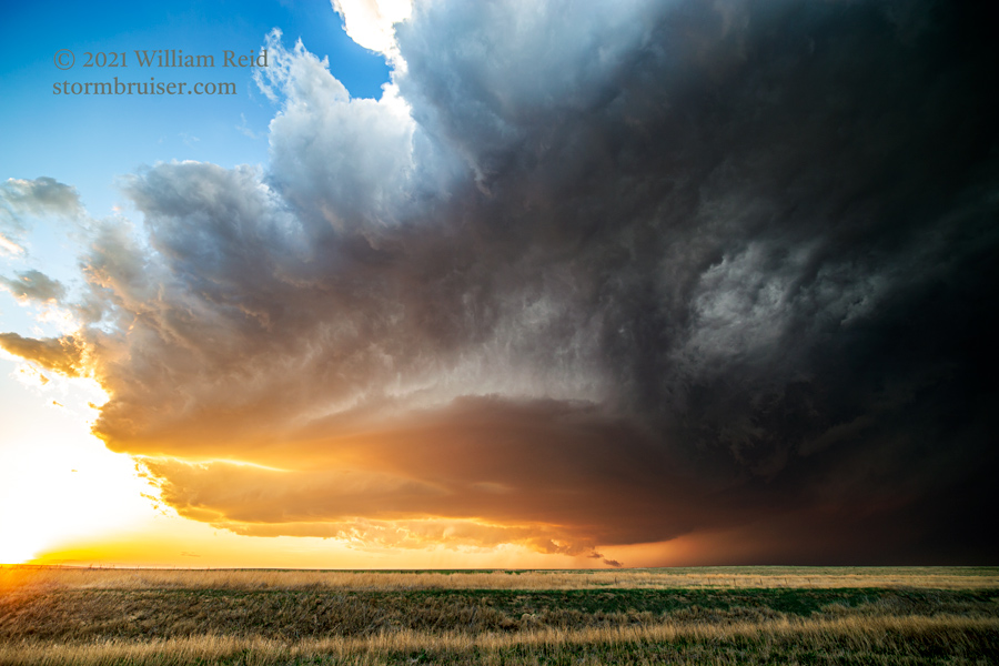
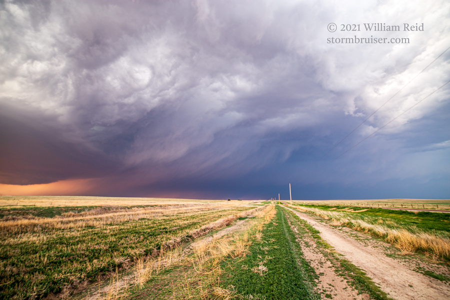
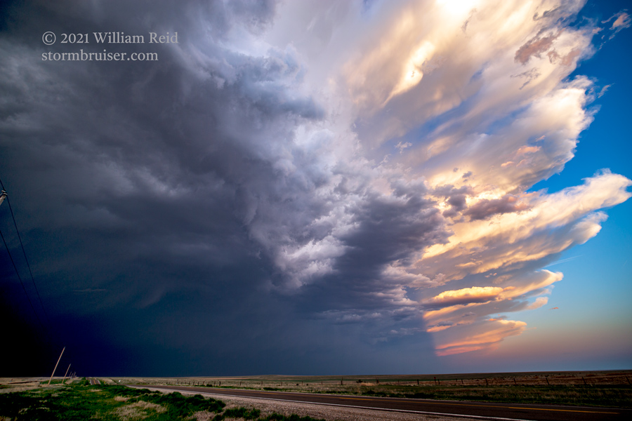
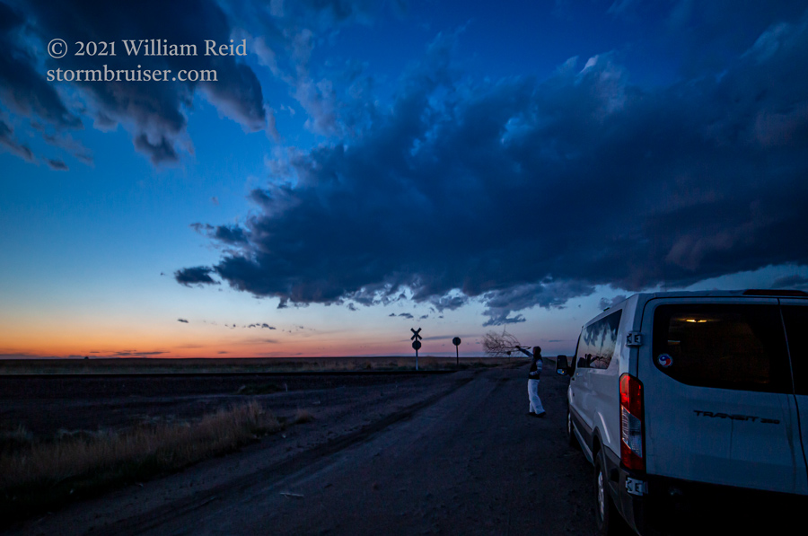
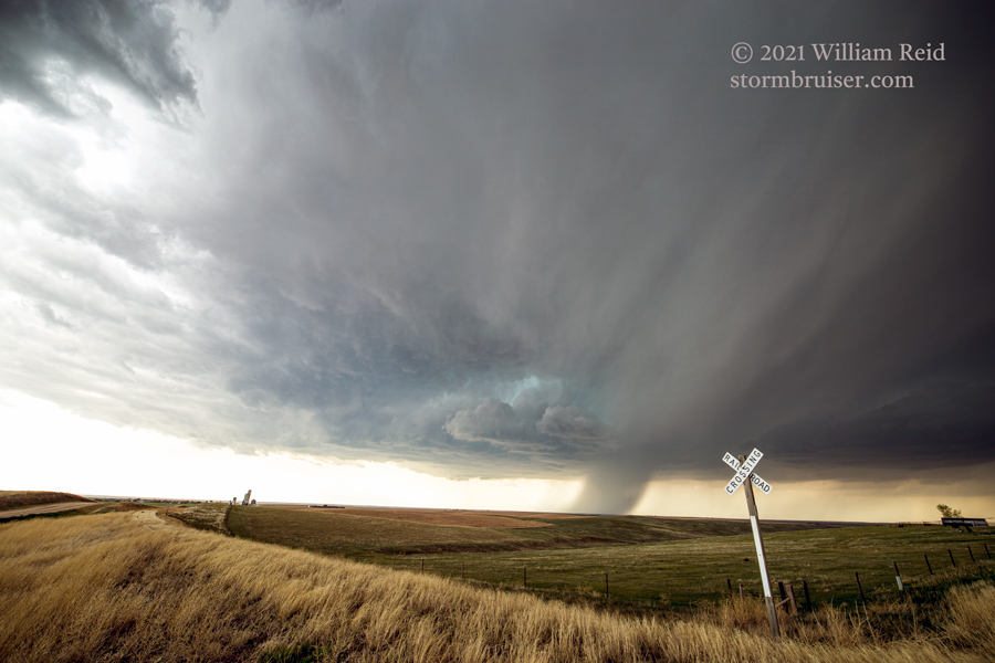
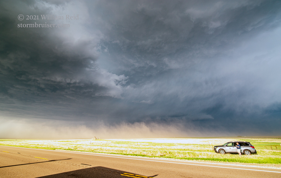
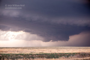
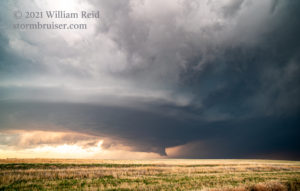
We were maybe 8 miles short of Winona at dusk when a rogue circulation, or very weak tornado, impacted the vans and those outside. That was fun! Below are some additional photos from the day.
Leave a Reply
You must be logged in to post a comment.