
Start: Guymon, OK/lunch: Guymon Vallarta Mexican/End: Guymon/298 miles
SPC Mesoscale Discussion 622 SPC Mesoscale Discussion 624
SPC Mesoscale Discussion 625 SPC Mesoscale Discussion 627
SPC Mesoscale Discussion 630 SPC Mesoscale Discussion 631
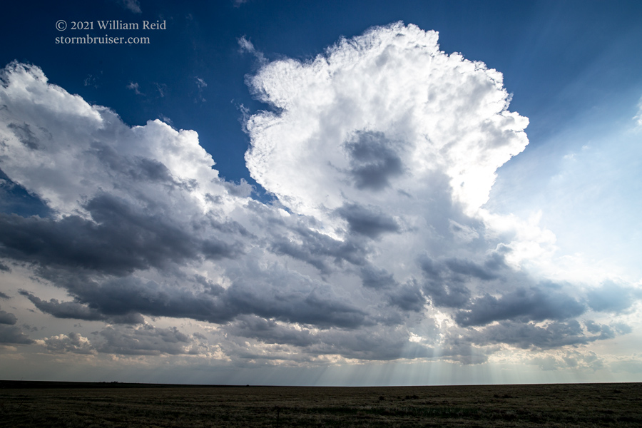
Today was another one of those on the High Plains with good wind shear, good upslope flow, and so-so moisture at low levels. Tornado chances were slim, but maybe we could squeeze out another fabulous late-day supercell as we did on the previous day.
I elected to target the expected afternoon development near Springfield, CO, in Baca County. This evolved as expected, and we watched the storm towers from the vicinity of Walsh. However, additional storms developed south from Baca County and into the western Oklahoma Panhandle, and soon we were running around eastern Baca County looking for something worthwhile. Nothing was particularly worthwhile. Perhaps the mediocrity was due to too many storms and storm interference. Mesoscale discussion 625 (linked above) provides a surface weather map, and shows nice southeasterly flow with upper 50s dew points headed towards the target area. I suspect that upper-level support was mis-timed today, also.
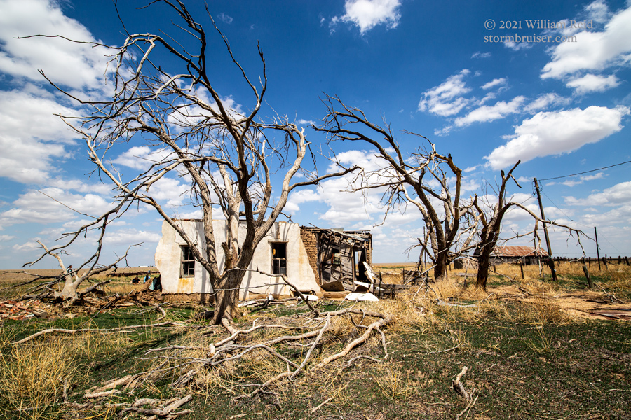
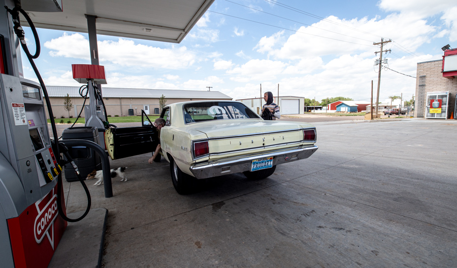
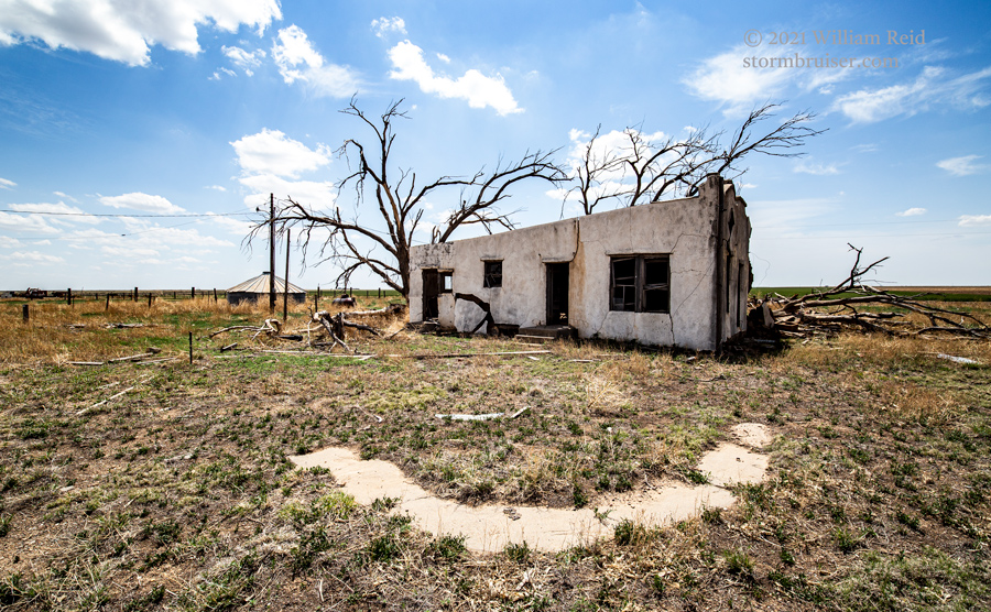
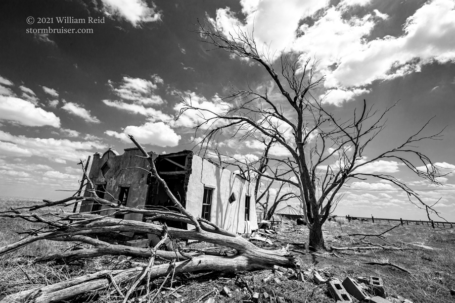
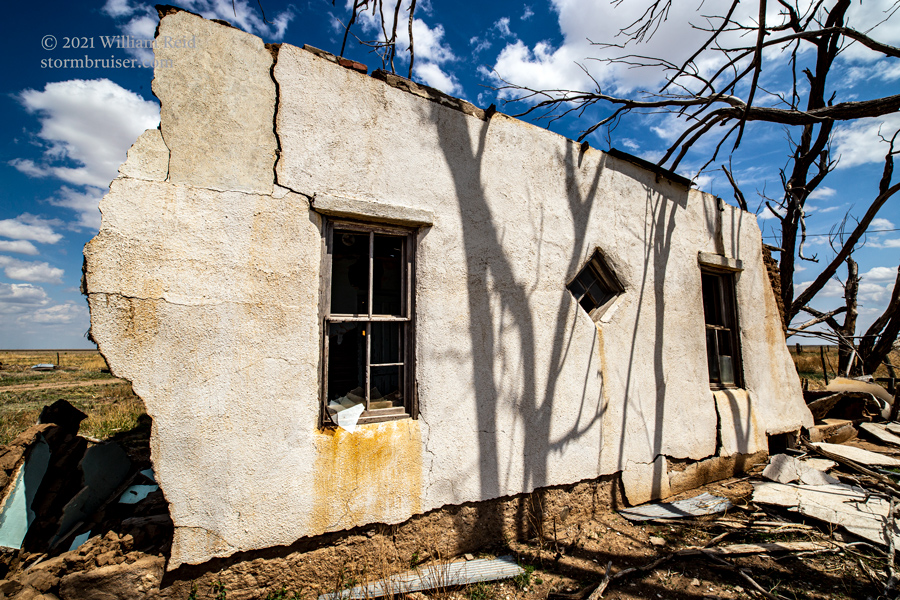
We ventured eastward towards Johnson City, Kansas, but again the targeted cells remained rather underwhelming. They were about as healthy as the trees in the picture at the top of the post. In other news, we contributed nicely to the economic health of Guymon, Oklahoma.
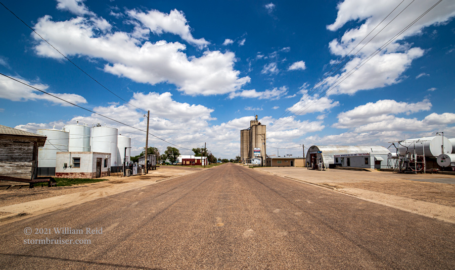
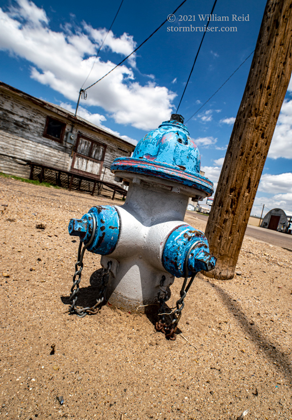
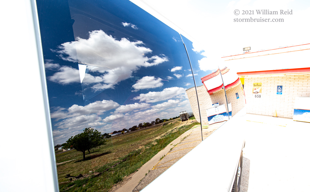
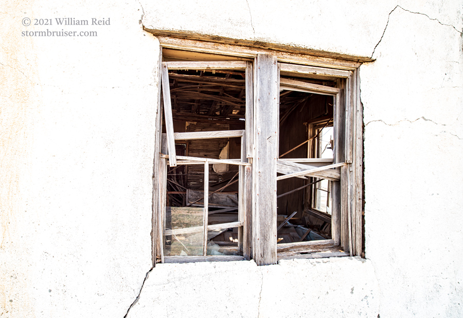
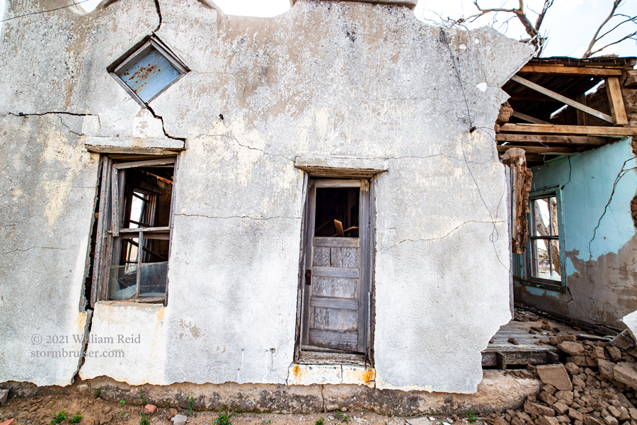
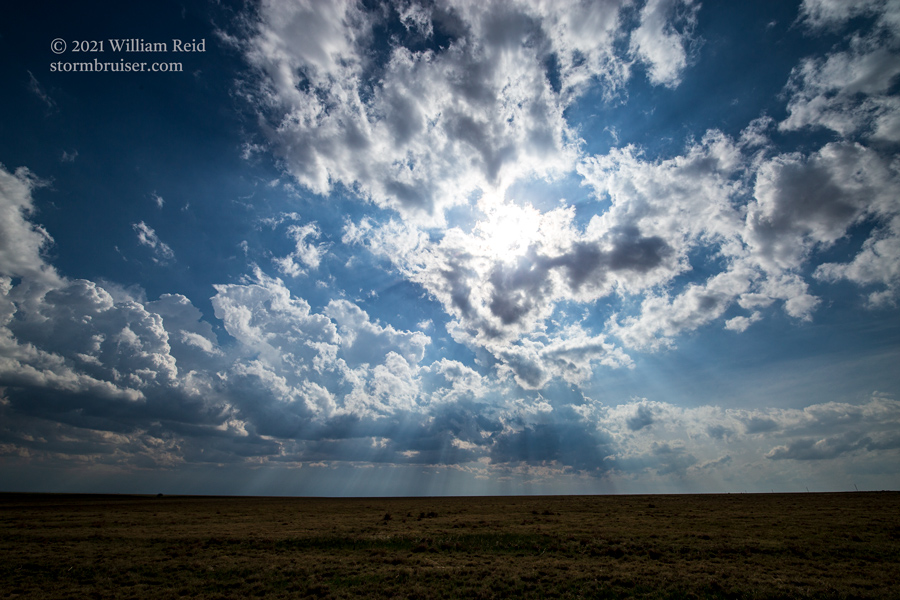
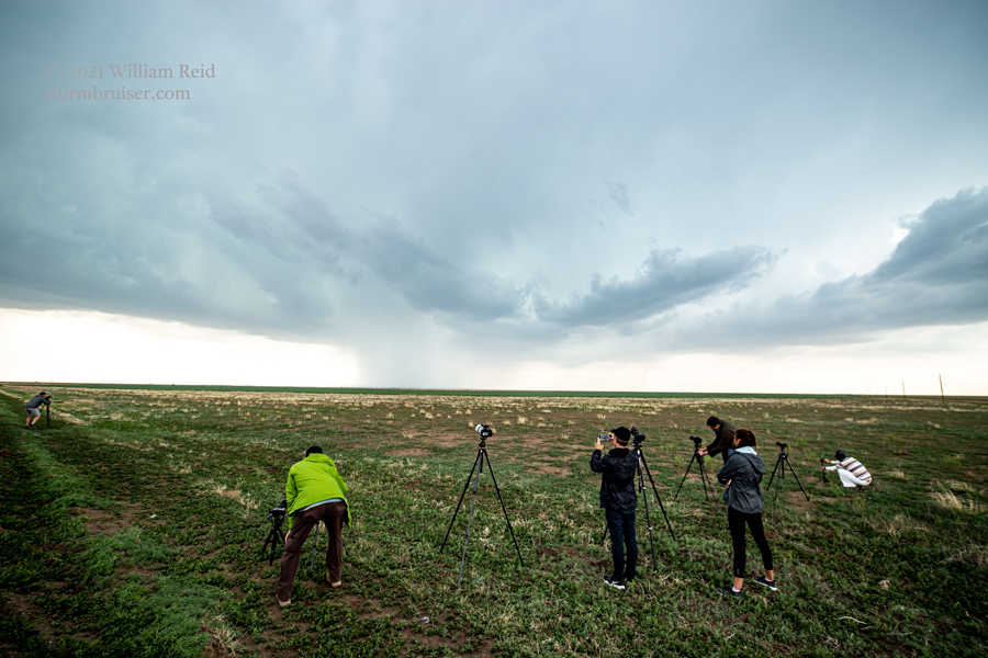
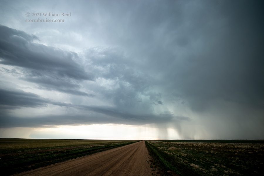
Below are pics from Elkhart, KS; an abandoned homestead southeast of Walsh, CO; and a few storm images.
Leave a Reply
You must be logged in to post a comment.