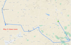
Start: Littlefield, TX/lunch: Dickeys BBQ at Seminole/end: Colorado City, TX/254 miles
SPC Mesoscale Discussion 651 SPC Mesoscale Discussion 653
SPC Mesoscale Discussion 655 SPC Mesoscale Discussion 658
SPC Mesoscale Discussion 660 SPC Mesoscale Discussion 663
chase route (above)
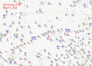
4 p.m. CDT/21Z surface map
Time Lapse Bucket/Roof Cam by Chris Gullikson
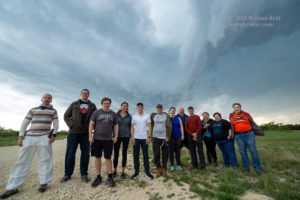
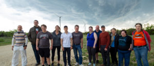
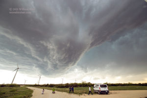
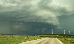
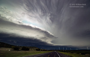
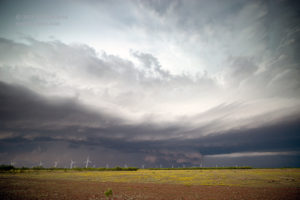
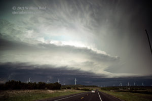
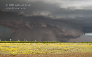
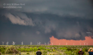
Optimism was rather high for this day’s chase, with a moderate risk splattered over much of the southern Panhandle of Texas and adjacent Big Country region. A 10% tornado area was centered near Lamesa. Nice southeasterlies with dews from 60-65F were coming up to I-10 midday from about Midland to Big Spring. I determined that our tour group needed to head southward a few counties from Littlefield for starters. We had lunch in Seminole and then went further south, to Andrews. Convection commenced by mid-afternoon, and the early stuff was junky. Newer and stronger cells drew us eastward towards Stanton, on I-10, and soon it appeared that we had a good storm to target. This one was east or southeast of Stanton and moving rather slowly to the east. The road network here is not very good. I elected to head all of the way to Big Spring, where U.S. 87 dropped to the southeast. This worked well to get us in front of the “Stanton” supercell. We stopped on an elevated area with a bunch of wind turbines (eyesores) southeast of Big Spring.
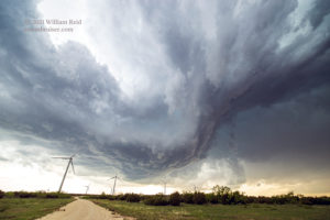
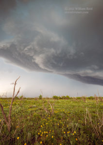
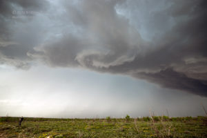
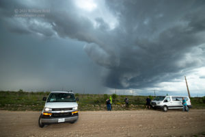
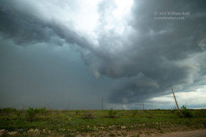
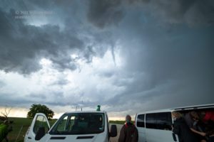
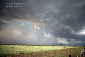
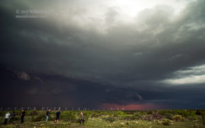
We remained in the same general area some 7-10 miles southeast of Big Spring for quite a while, perhaps for an hour. The Stanton storm approached and showed a decent rain-free base. A lowering or two were observed with rotation, too, and I certainly would not have been surprised had a tornado formed relatively closely to us. Some of the swirling clouds above were causing me a little anxiety! Did I have my escape route ready?
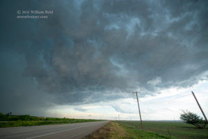
Well, this nasty and active base overhead failed to produce for us. I was a little bewildered as to what this storm was doing, as there seemed to be a couple of different action areas. The storm was starting to get away to our east now, and we were now out of position. I tried FM 821 (to Forson), but less than a mile later we turned back to 87 and continued to the southeast. FM 821 headed to the ENE and all we would be seeing in the next 40 minutes would have been windshield wipers, perhaps eventually wiping a busted windshield. We stopped a few miles later and viewed additional harmless swirling nearby, as a dense rain core materialized to our ENE.
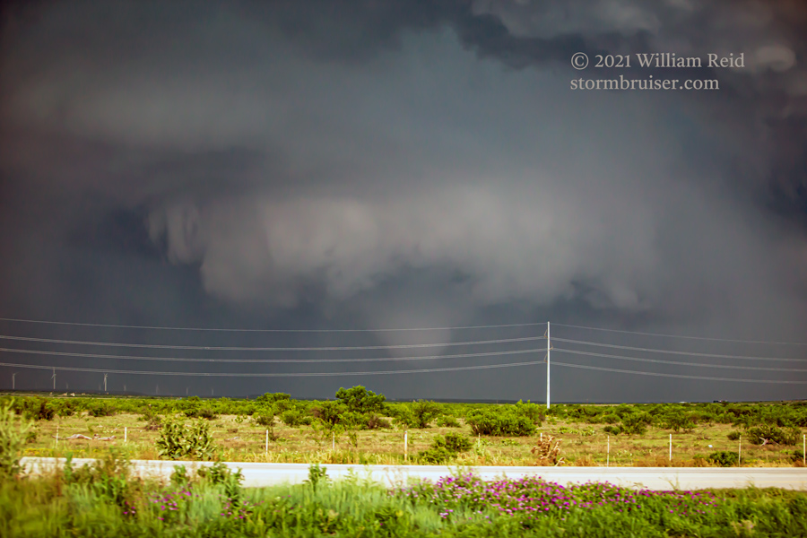
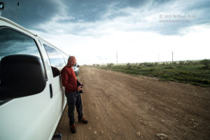
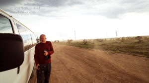
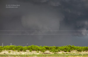
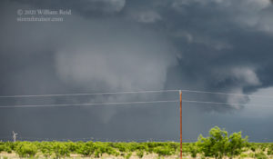
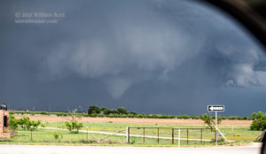
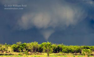
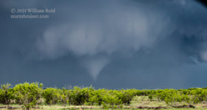
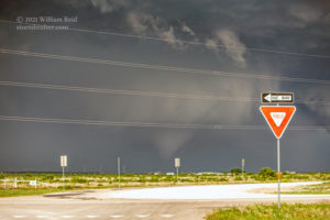
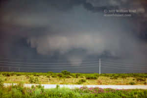
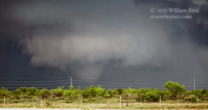
Finally we were heading southeast again on 87, now with the supercell and its heavy core decidedly to our left, or to our northeast. Unsurprisingly, the active area near us had become occluded and a new meso was now east of 87. Ugh. Near the Sterling/Glasscock county line, the precipitation near the south end of the core to our northeast cleared out a little, and an impressive low-level area of rotation was apparent. This action area was replete with a collar cloud and a fat funnel, and quite quickly it was evident that we were looking at a tornado. We stopped for a few minutes to get some photos though the utility lines, and then were back in the vans to try to get back into position. Unfortunately, we had to head another 10-15 miles to the southeast before finding a road back north. This was taking us away from a tornadic storm. This road network was killing me.
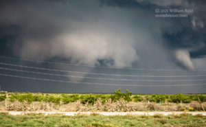
The time-lapse video by Chris, linked above, is fantastic and it shows the rotating wall cloud and tornado very nicely. I managed some additional telephoto shots both at the quick stop and afterwards, on the road.
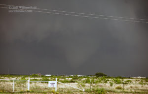
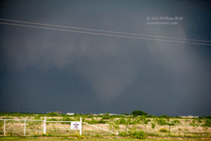
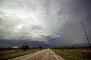
We approached the action area again along FM 163, and the Bucket Cam video shows the strongly rotating lowering (to our NNW and then N). Unfortunately, the storm was quite “HP.” It there were a tornado occurring, it was obscured. There were a couple of moments where it looked like a tornado was indeed in progress. This tornado was in northwest to north-central Sterling County (between Sterling City and Coahoma, and closer to the former) from about 7:10 p.m. to 7:50 p.m. CDT. There wasn’t much out there to hit, but a likely tornado caused damage to a gas plant along FM 163, about 14 miles N of Sterling City.
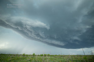
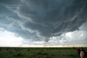
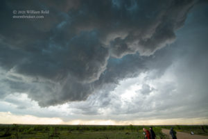
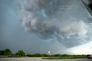
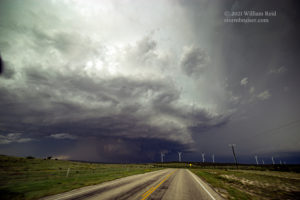
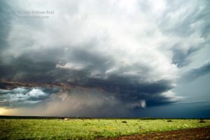
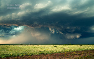
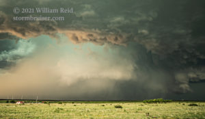
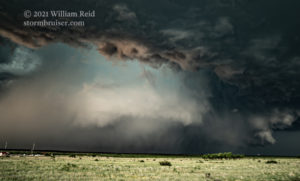
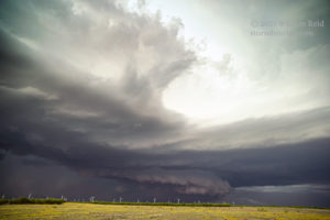
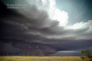
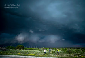
As the HP supercell and any obscured tornado drifted eastward, we scooted back south to Sterling City and then took 158 into the east-central part of Sterling County. We were treated to some very impressive HP supercell structure and a beefy wall cloud…and maybe additional tornadoes? Who knows?! This was a beast of a storm.
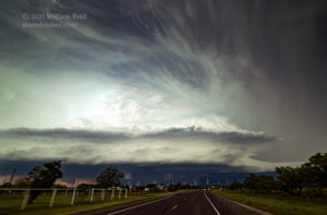
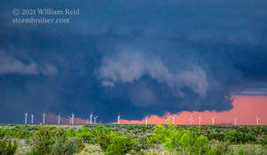
The storm continued eastbound above the wastelands of the Big Country as darkness came upon the land. We snapped a few more pics after sunset with the nice orange light behind the storm (in Coke County now), and called it a chase in Robert Lee.

Leave a Reply
You must be logged in to post a comment.