
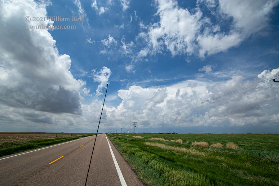
Start: Oakley, KS/lunch: did we have lunch?/End: Lakin, KS/344 miles
SPC Mesoscale Discussion 721 SPC Mesoscale Discussion 723
SPC Mesoscale Discussion 724 SPC Mesoscale Discussion 725
SPC Mesoscale Discussion 727 SPC Mesoscale Discussion 728
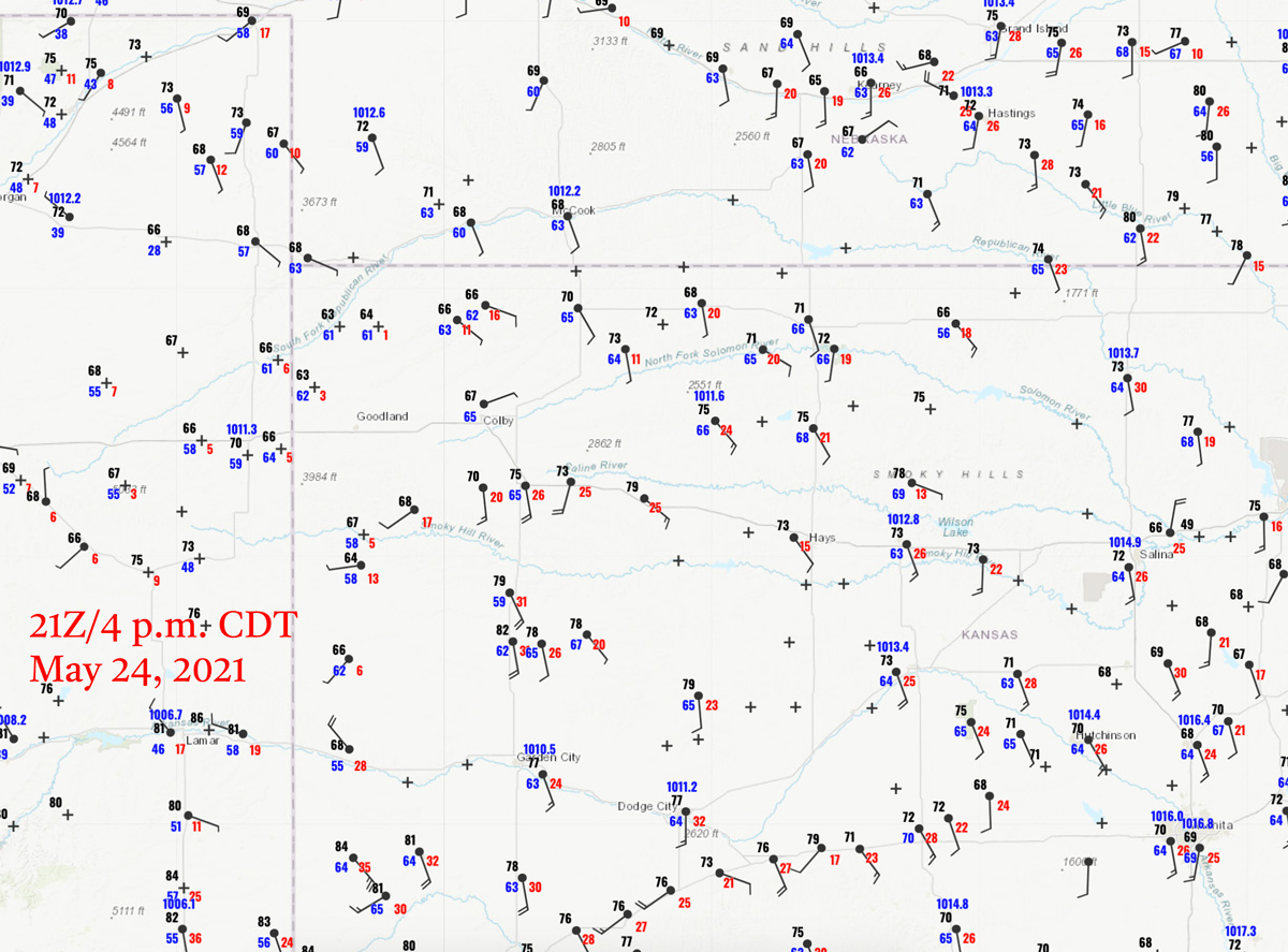
21Z/4 p.m. CDT surface map
This day is an excellent example of how to not see tornadoes. SPC had a 5% tornado risk drawn around an E-W boundary in west-central and northwest Kansas. We were starting out in a perfect spot, Oakley, Kansas. So, just find a good storm on the boundary and watch the tornadoes! Alas, this is a story of not keeping your eye on the ball.
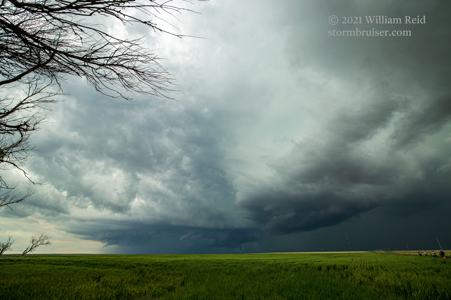
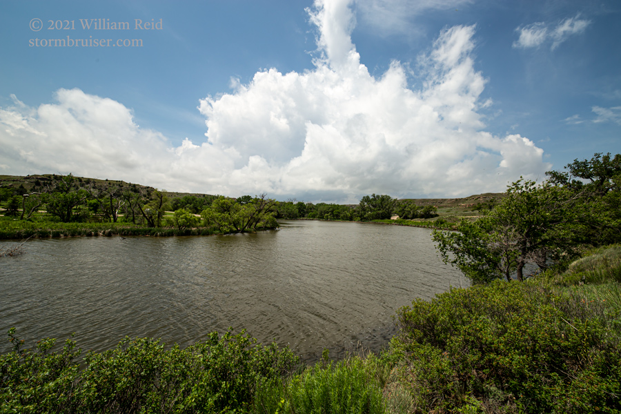
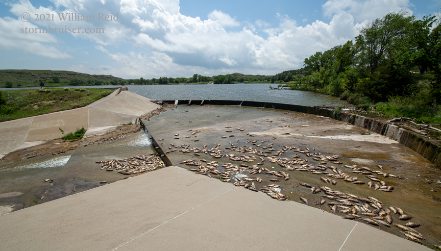
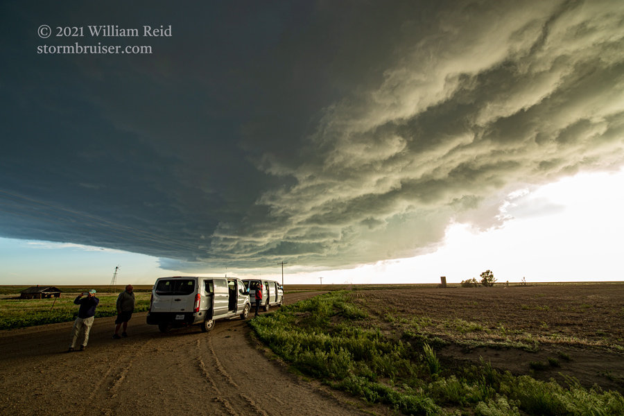
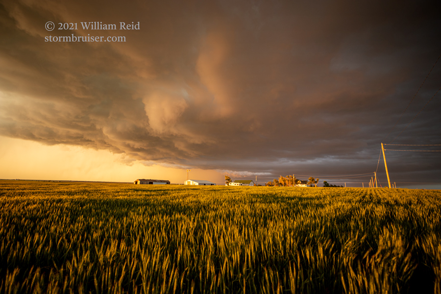
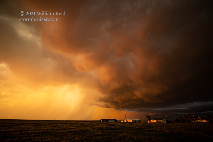
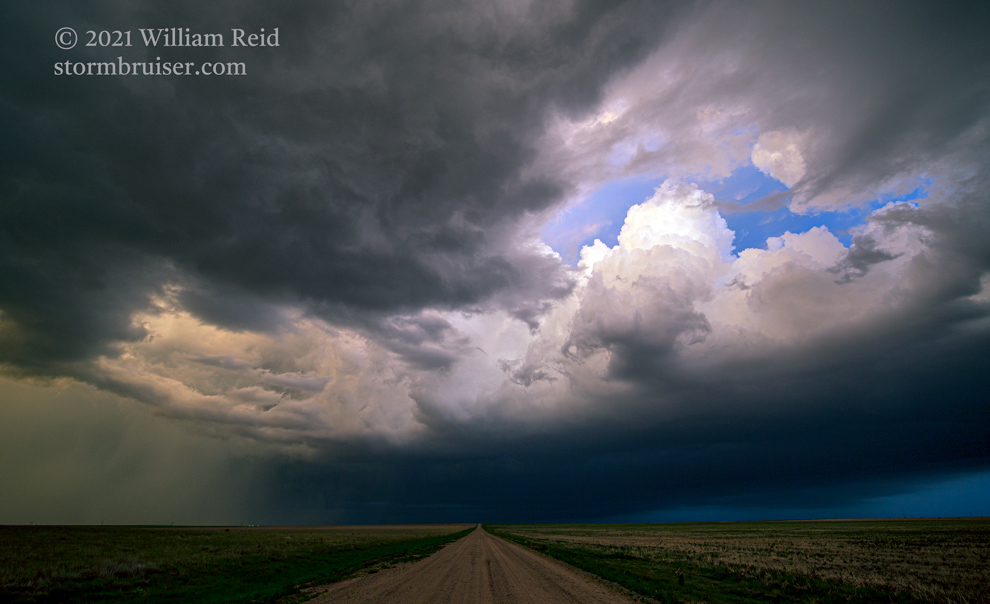
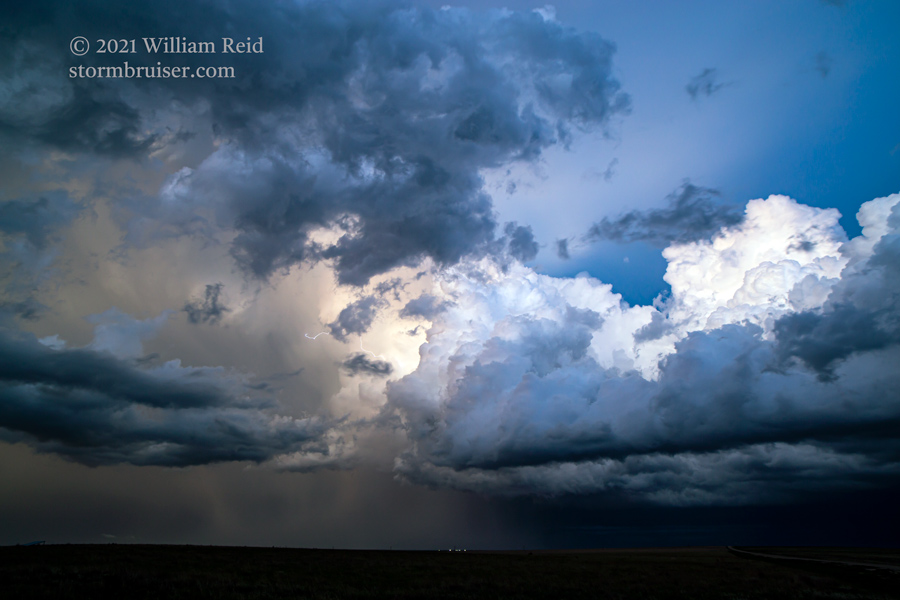
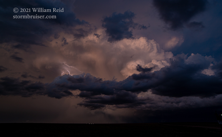
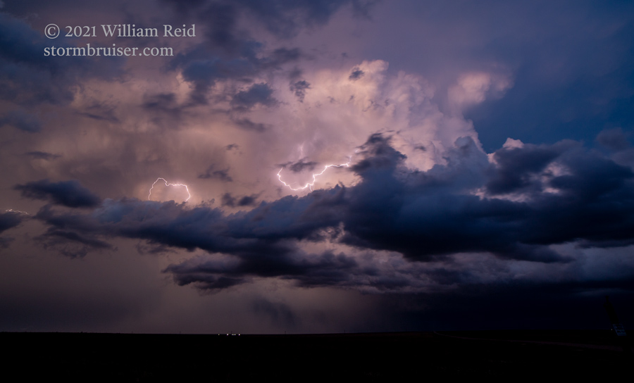
We headed south out of the low clouds and drizzle around Oakley, and popped out into sunshine near Lake Scott. We killed some time here at the reservoir, and then had a nice and new storm to check out mid-afternoon west of Scott City, near Leoti. This one had a great-looking and low storm base, with the occasional lowering. We were going to get a tornado! Or so I thought. The storm was moving to the E or ENE above a poor road network, and the dirt roads were getting muddy. I directed Michael and John to direct us back to Scott City and north about 10 miles to get in front of this nice supercell (last five pics below).
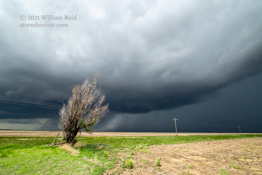
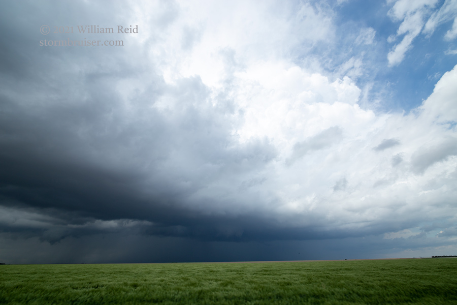
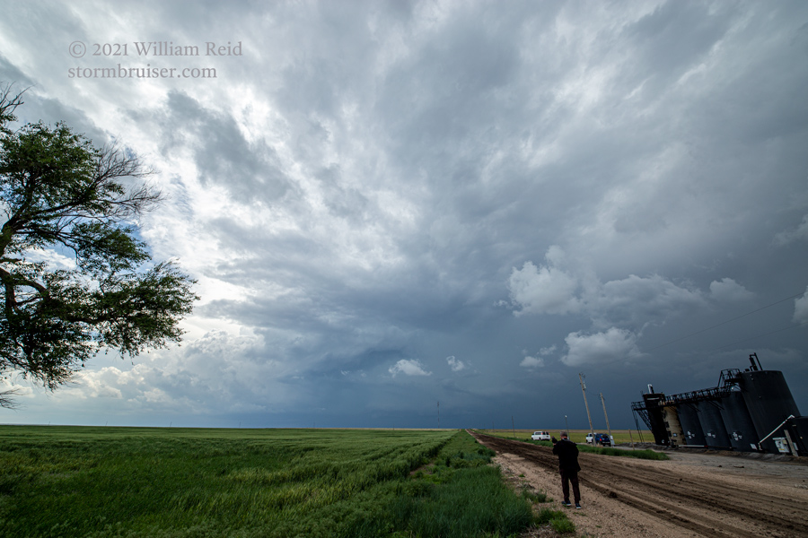
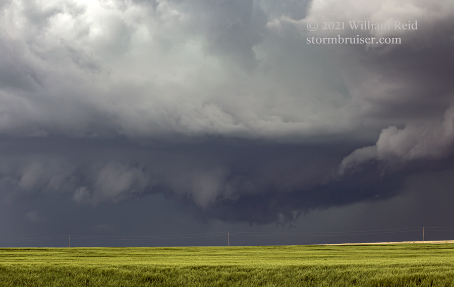
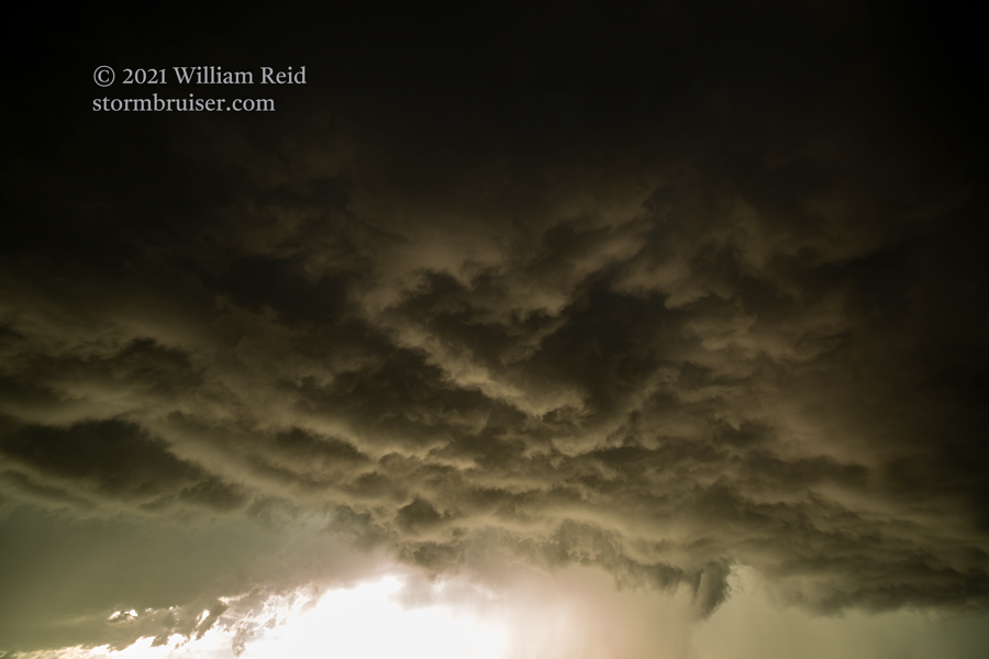
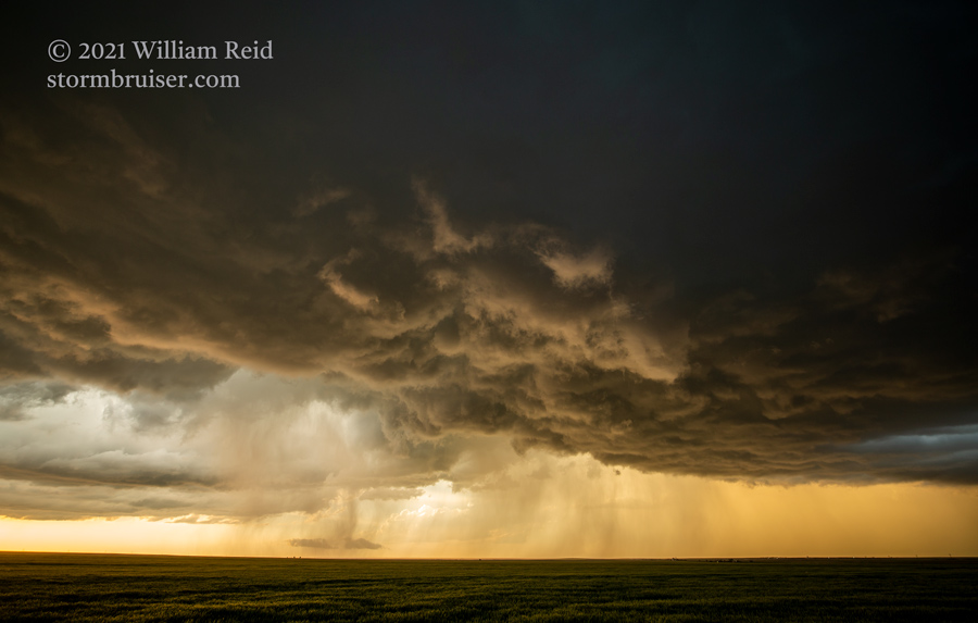
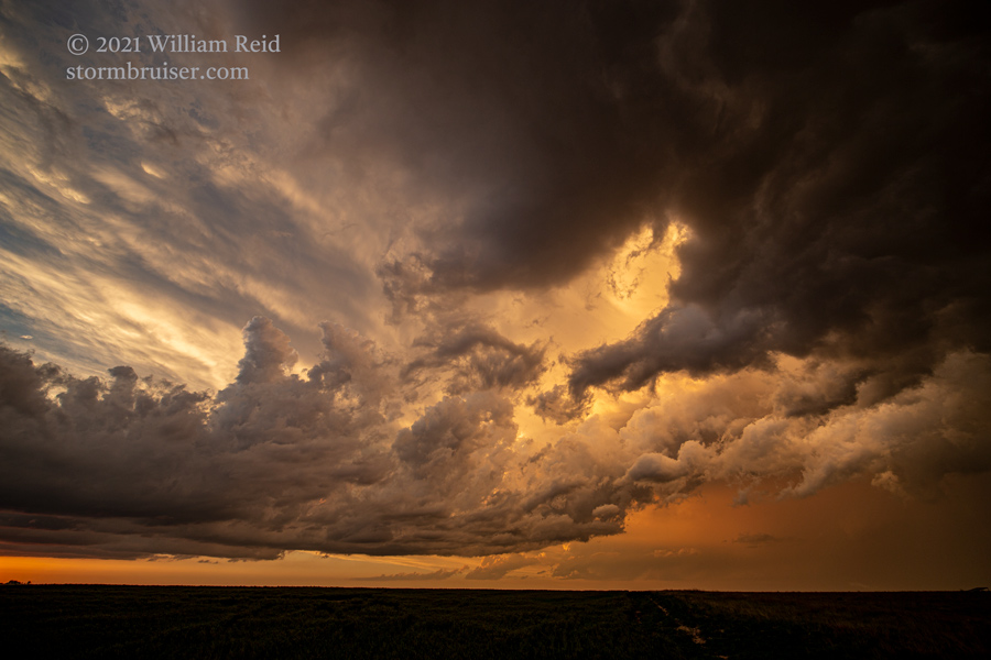
The storm looked pretty good, but then looked rather linear and not-so-good…and soon a new little storm a county or so to our NNW (not visible to us) had a tornado report with it. Well, this was the critical moment of the chase, if we were to see tornadoes. With this Scott County supercell coming at us, we had to get out of the way, north or south. I chose south in order to maintain position on it. I forgot about the outflow boundary. The all-important boundary was now farther north, close to I-70, and I should have been headed that way. A nice tornadic storm or two developed north of I-70 later this chase day, and we missed the very nice one near Selden. KEEP YOUR EYE ON THE BALL! Our Scott City storm, though it was very strong and rotating hard at mid-levels, was no longer near the outflow boundary, and it failed to produce a tornado. Though the storms north of I-70 looked much weaker on radar, they were along the boundary and they had the tornadoes.
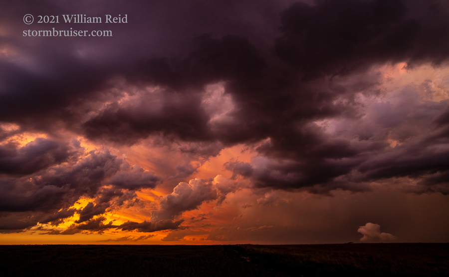
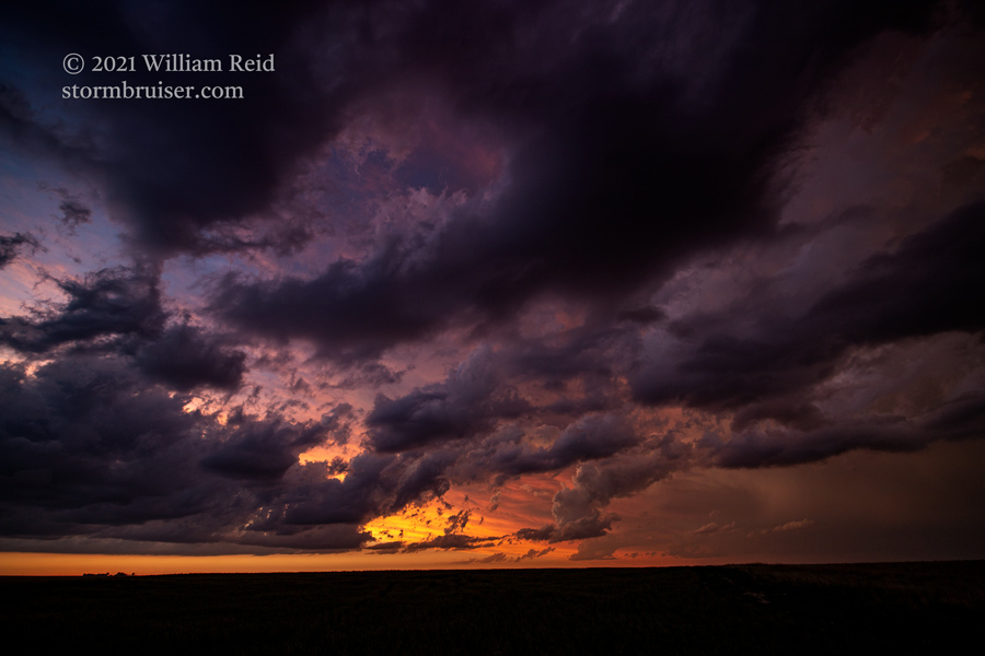
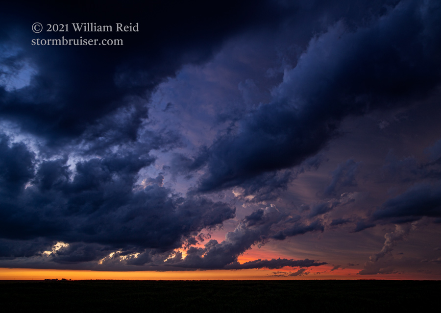
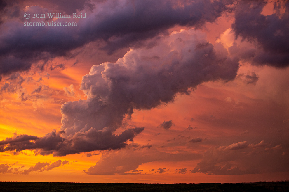
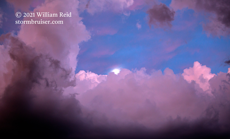
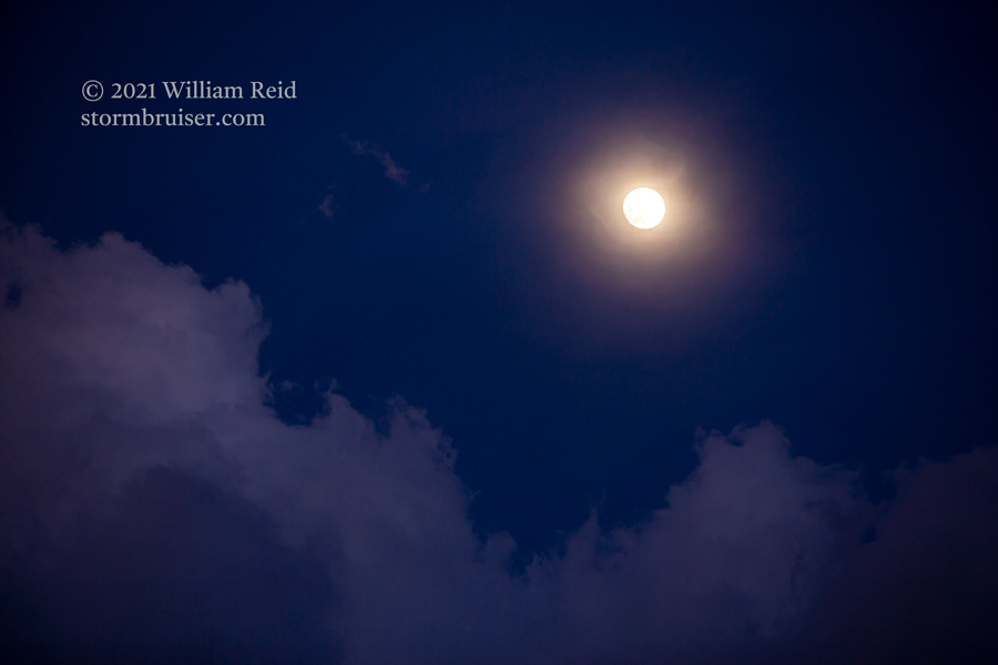
We wound up with strong-to-severe storms south and southwest of Scott City, all of the way to the Johnson City area near sunset. It was pretty.
Leave a Reply
You must be logged in to post a comment.