This was the last day of Tour 4. We had to get up a bit early in Brownfield to make it back to OKC by 1 p.m. Soon thereafter, John and Richard and I were doing the 3-vehicle convoy up and over to Denver for Tour 5. It was nice to be driving my “little” Xterra and not sitting in the van!
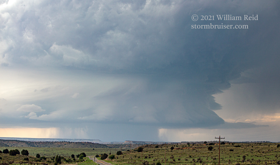
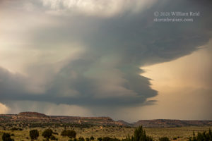
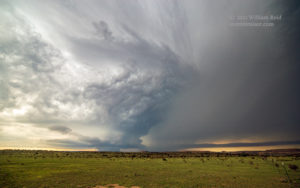
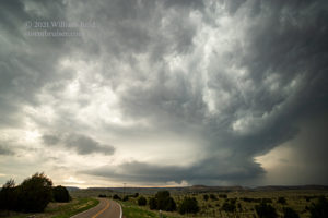
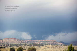
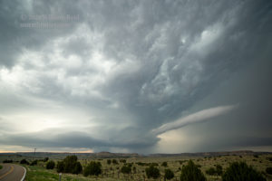
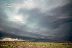
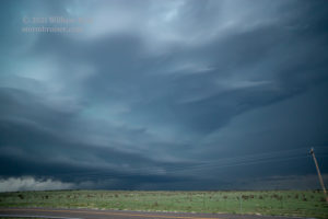
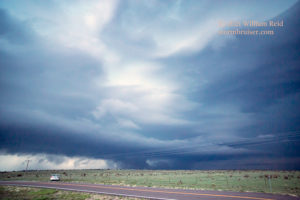
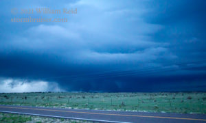
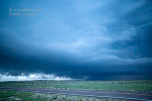
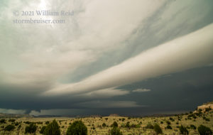
There was a convenient storm to intercept along the way. It was in Baca County, CO, and it had been going for a while as we finally made it into Cimarron County in the western Oklahoma Panhandle. The storm produced a decent tornado in the vicinity of Kim before we were close enough. It was moving fairly slowly to the southeast, so instead of heading NNW out of Boise City, I continued to the W and NW towards Black Mesa and Kenton. We didn’t quite make it to Kenton, stopping perhaps seven miles east of Kenton. From here, the structure was quite good!
A good-size blob of precipitation was associated with the storm base, and off and on a suspicious scuddy wall cloud would seemingly scrape the Black Mesa. The storm approached and went just to our north after sunset. More scary lowerings ensued, and some chasers might have reported these as tornadoes. I didn’t see a tornado. Boise City looked to be in trouble for a little bit, but the storm sputtered and spared the town.
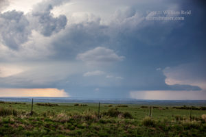
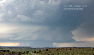
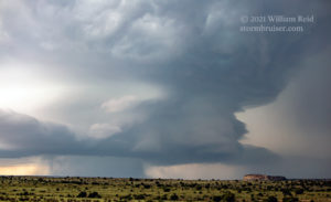
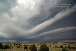
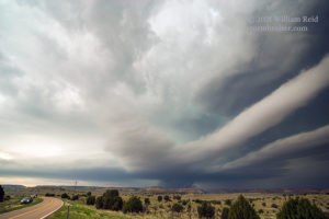
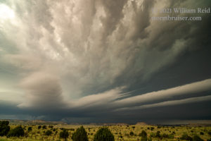
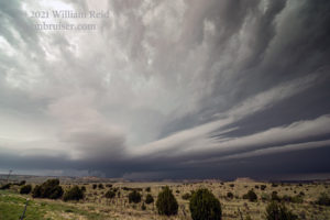
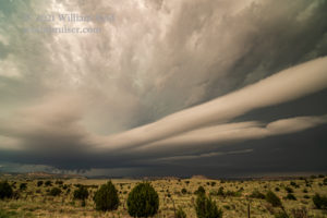
Below, a few more shots of the impressive inflow bands, from about 7SM east of Kenton looking northwest.


Leave a Reply
You must be logged in to post a comment.