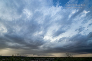
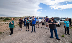
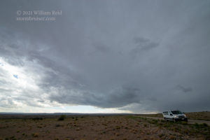
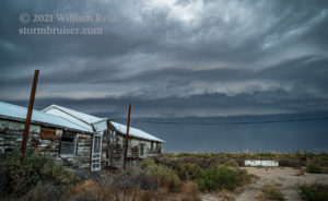
Tour 5 out of Denver (with Chris P. and Richard R.) began on May 31, and we had to be on the road by 6 a.m. in order to make it to the southeastern New Mexico target (a 5% tornado risk was generally from Carlsbad to Sanderson). It looks like the storm of the day, with a tornado or two or three, was well down to the south, south of Fort Stockton. We managed to see a bunch of junky storms, though we did see one which was tornado-warned west of Carrizozo (it was not worth photographing). Yes, we were chasing near the Ends of the Earth, west of Roswell. Late in the day we were south of Carlsbad and in position to see the activity pictured below. It really was not worth the early departure and the long drive, but we needed to be down this far south for the next day.
This entry is for June 1, which was much more interesting than May 31. Here are the particulars for the two days:
May 31/Start: Denver/lunch: grab-and-go somewhere/End: Carlsbad, NM/709 miles
June 1/Start: Carlsbad/brunch: Carlsbad IHOP/End: Carlsbad/321 miles
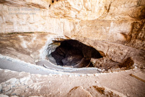
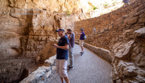
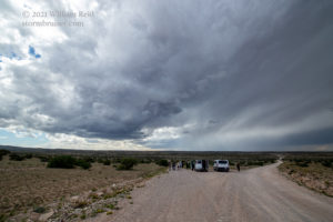
There was only a marginal risk on June 1, and SPC saw fit to issue just one nearby Mesoscale Discussion, which didn’t even concern my target area. At least we weren’t starting 600 miles away, though! The Carlsbad area was the target area, with just enough shear and instability for a supercell chance. After brunch, we did a non-official tour of Carlsbad Caverns, and then drifted into the rarely-visited wastelands west of Carlsbad. We came upon an updraft which rotated some, but was generally anemic. From there we headed south on Queens Highway to another stronger storm that was on the northeast side of the Guadalupe Mountains. This one had some decent lightning with it, but it was high-based and turned junky.
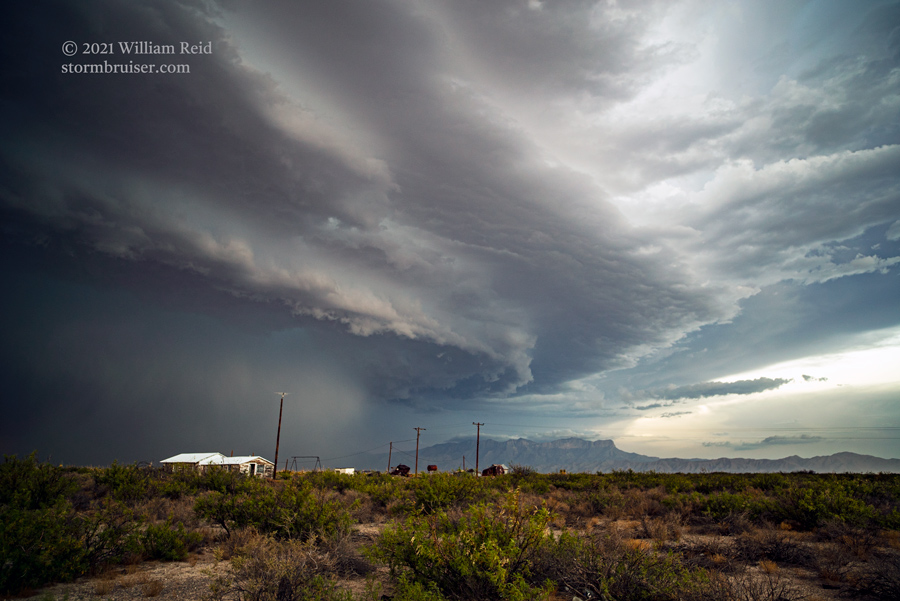
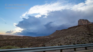
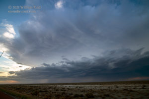
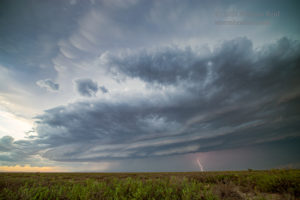
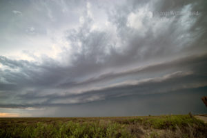
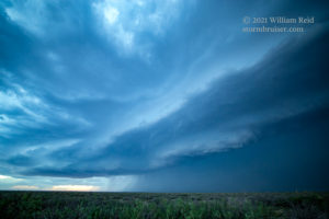
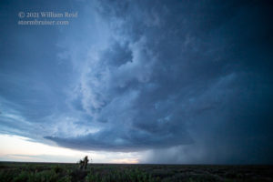
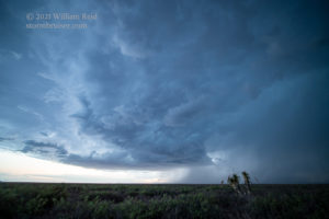
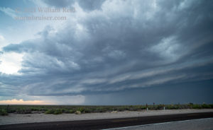
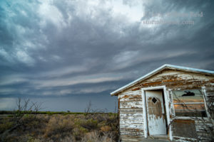
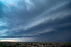
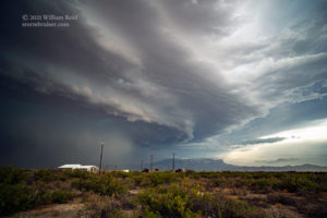
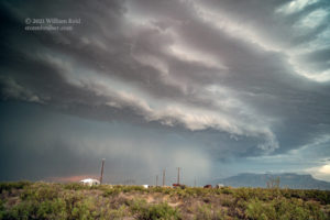
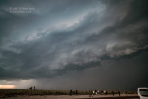
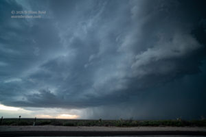
We were near the south end of a road network which ended at the edge of the nearby Guadalupe Mountains. This area was looking dead as far as storm potential. With some good air and some potential to our south and southwest, we needed to be just 30-50 miles in that direction. But we had to go all of the way around via Carlsbad to get there — back to the northeast, and east, and south, and then southwest and west through Guadalupe Pass. This jaunt was worth it as we came up on an impressive rotating storm west of Guadalupe Pass. It was west of the Salt Lake and maybe south of Dell City. In other words, this storm was in the middle of nowhere, but it was a fabulous find for a marginal risk day! We stopped north of Salt Flat and watched the storm move from our northwest to north. At dusk, another updraft went up nearby. The lightning was quite frequent with this activity.
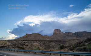
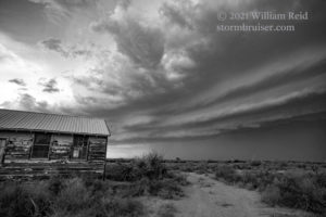
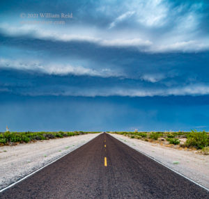
Below are additional photos with the Sony camera from the Salt Flat location. Some of the views are to the northeast, with Guadalupe Peak visible.


Leave a Reply
You must be logged in to post a comment.