
Begin: Columbus, NE/lunch: Wolf Den in Stanton/End: Hastings/383 miles
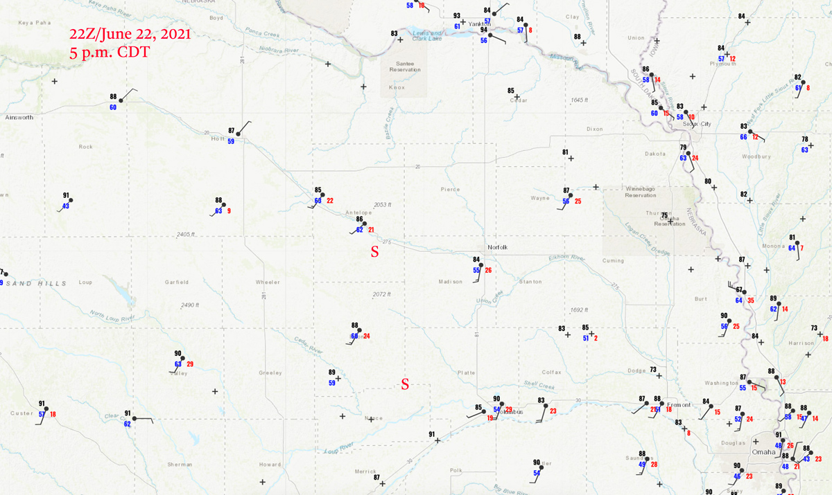
22Z surface map above, “S” marks approximate supercell locations.
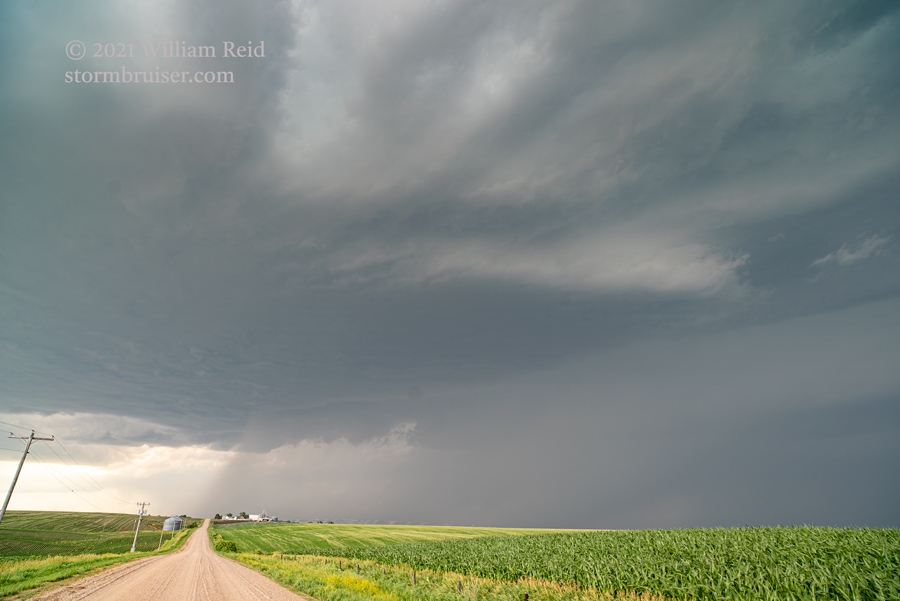
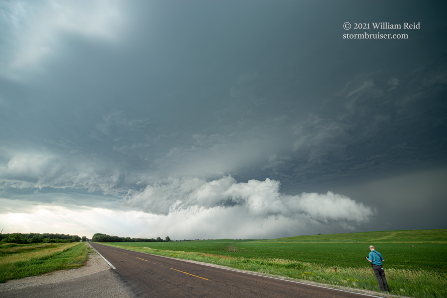
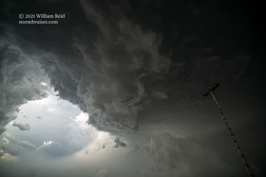
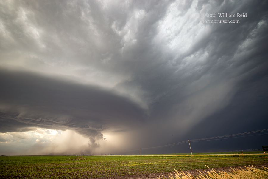
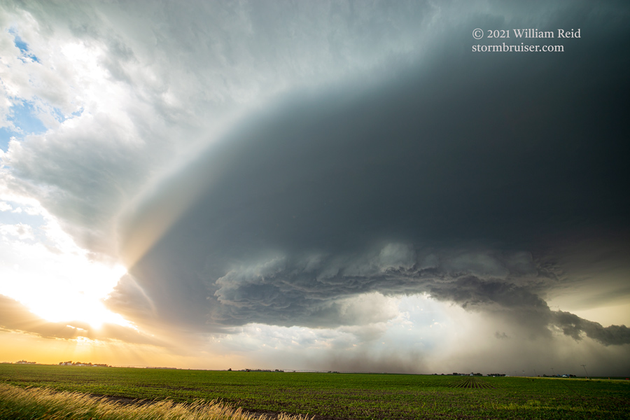
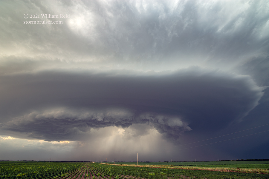
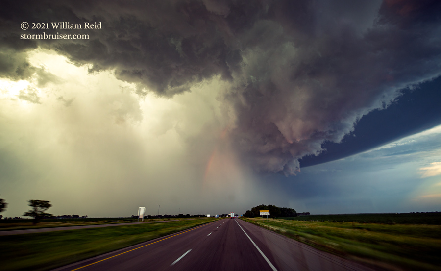
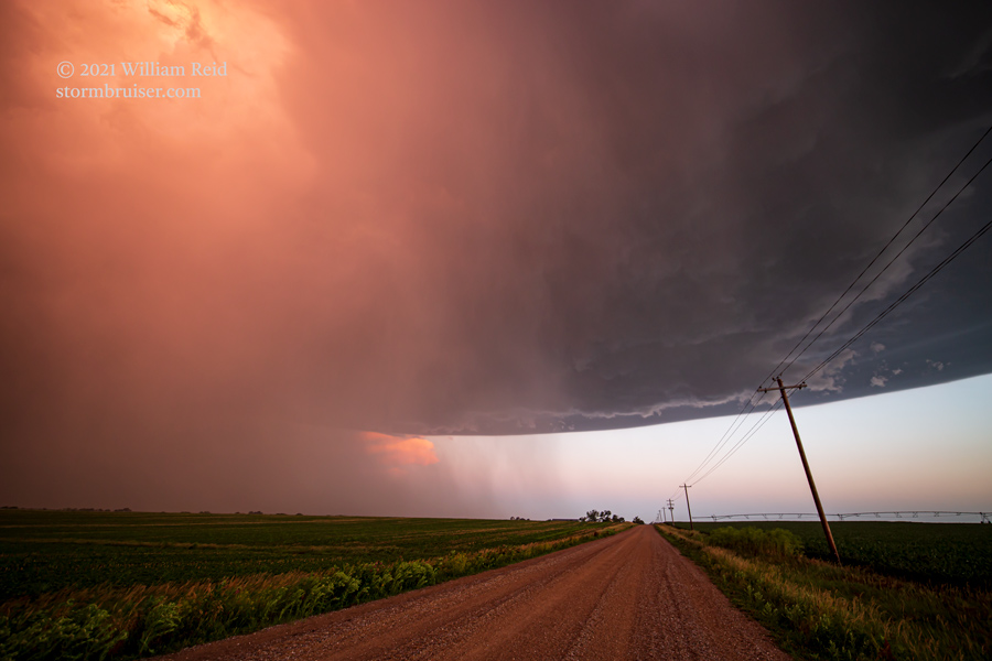
SPC had a slight risk of severe about as far west as Neligh, Nebraska, on this chase day. We headed towards Neligh for initiation from our lunch stop in Stanton. Upper flow was adequate for supercells, but low-level moisture was a bit skimpy. A tongue of air with dews in the low 60s extended from about Grand Island to Neligh. A robust storm developed near Neligh, and started dropping slowly to the southeast. We stayed with it to Lindsay, and then adjusted westward to a new severe storm near St. Edward. This one spawned an interesting horizontal roll beneath the base (below).
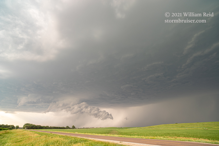
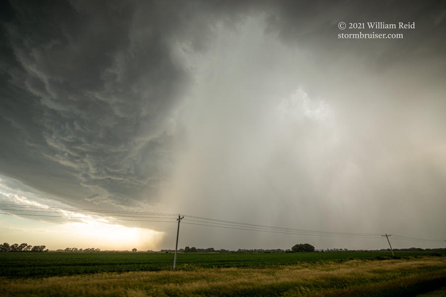
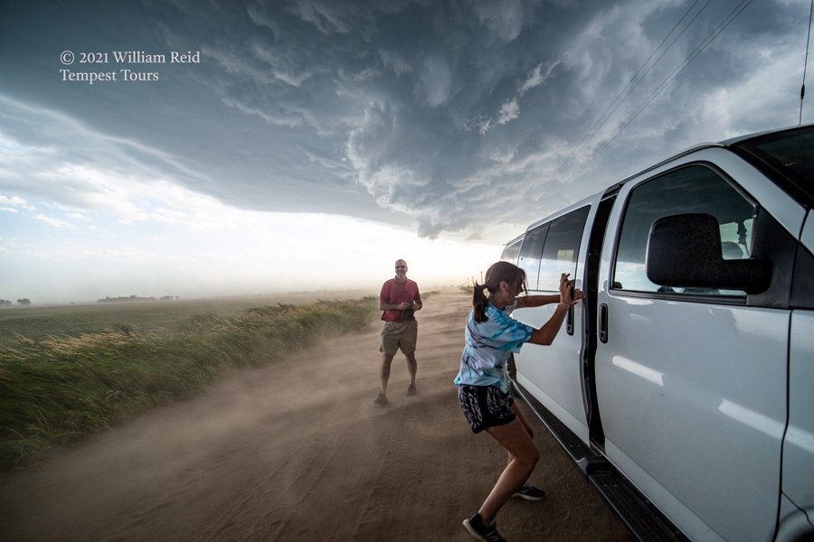
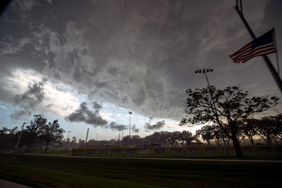
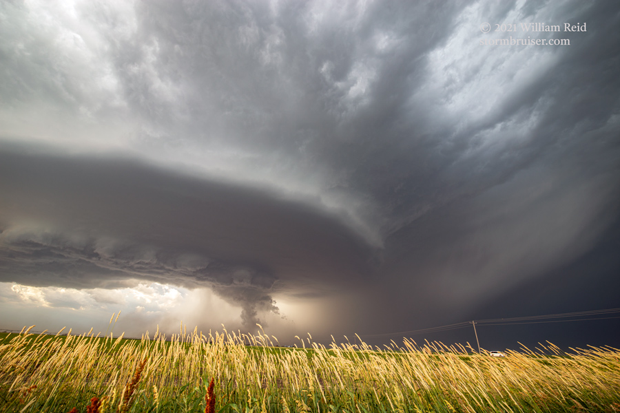
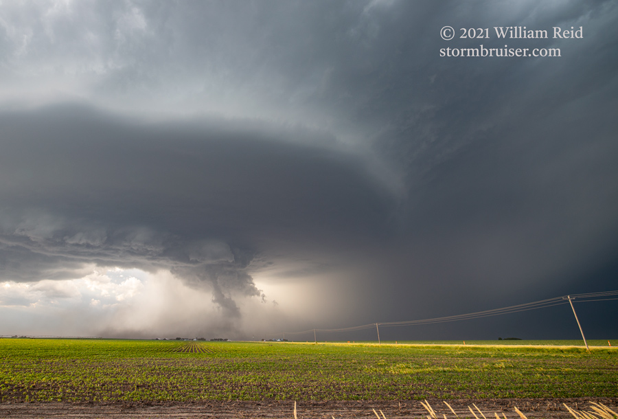
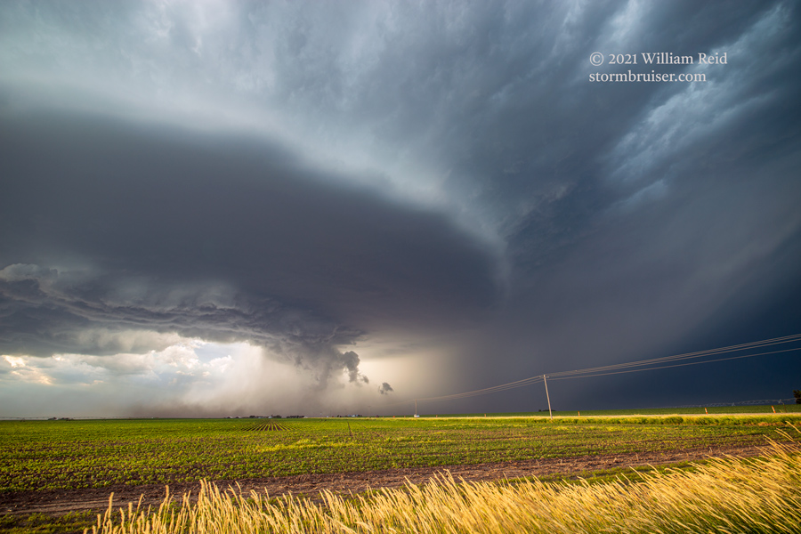
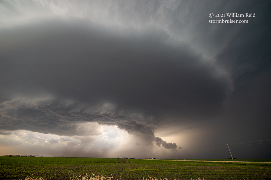
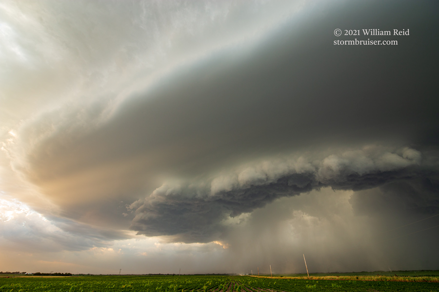
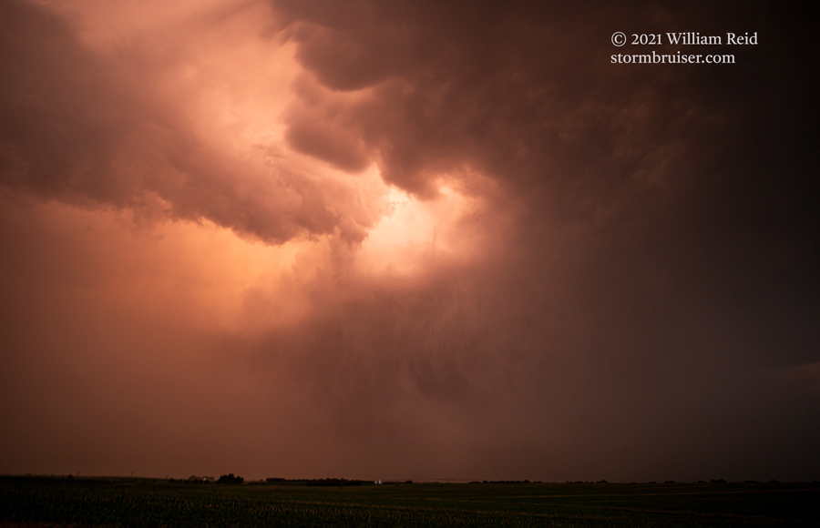
We stayed ahead of the supercell along 39 SSE-ward to Genoa. Storm outflow was pushing hard against the moist inflow, and plenty of scuddy stuff was whirling around overhead. At Genoa, blowing dust was coming through, and the storm was rather close to producing at least a weak tornado in this RFD area. It did not, as far as I could tell! The storm was turning harder to the south now.

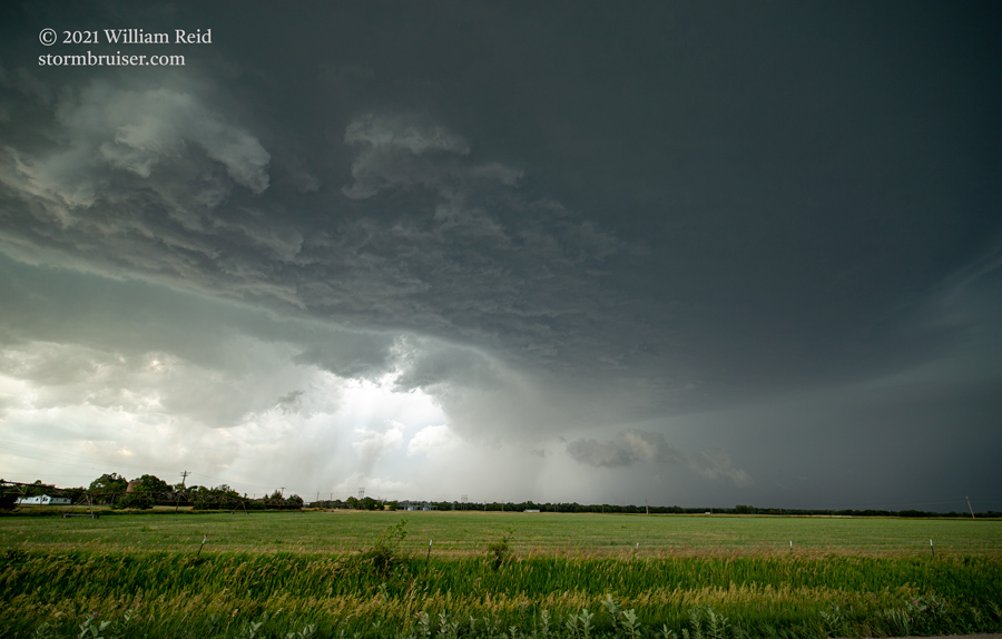
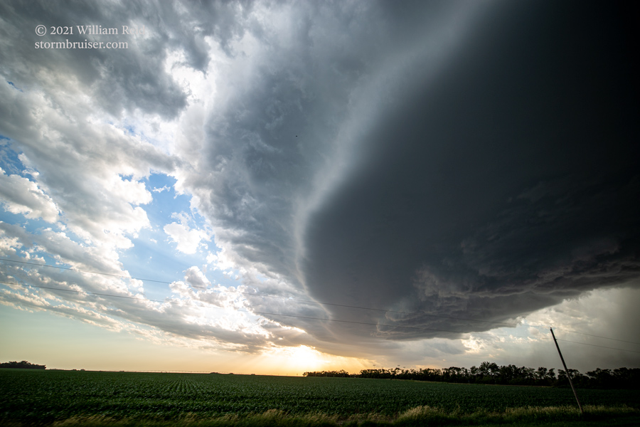
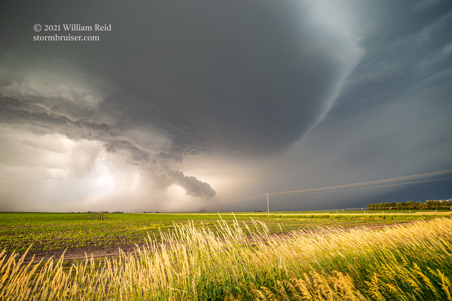
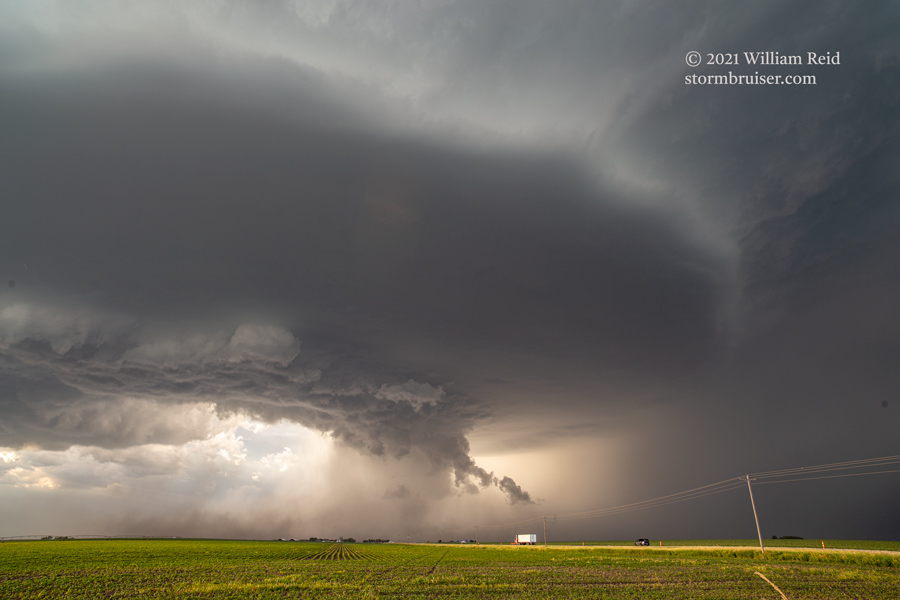
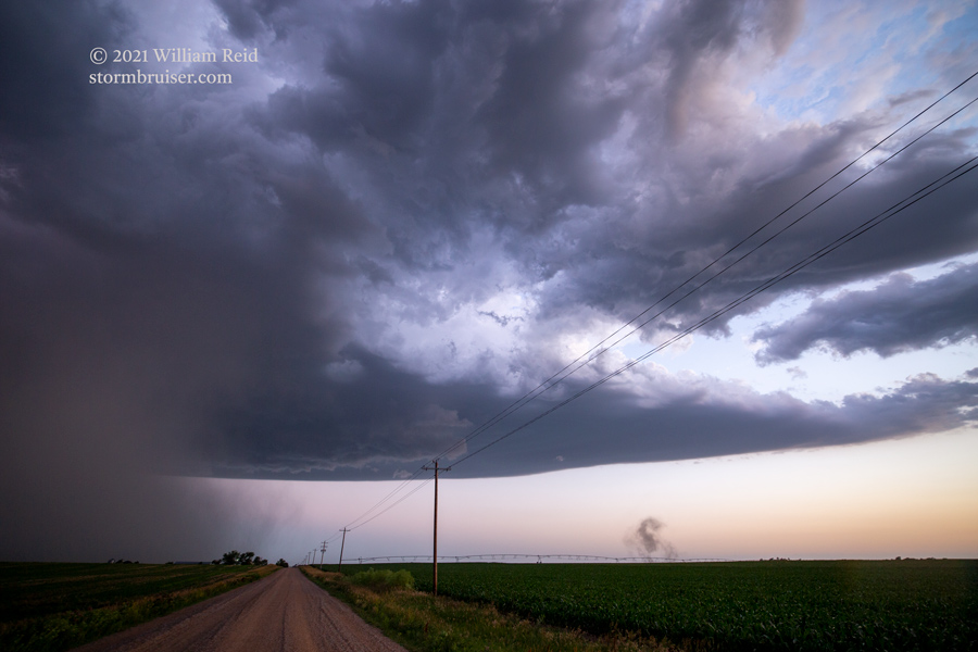
We dashed south to Silver Creek and crossed the Platte River. The storm appeared to be less inclined to produce a tornado, at least visually, and the plan changed from staying near the RFD to getting south far enough to observe the structure. We finally accomplished this just north of York. A finger angled down towards the surface, but it was just a scuddy/pointy thing near the RFD gust front.
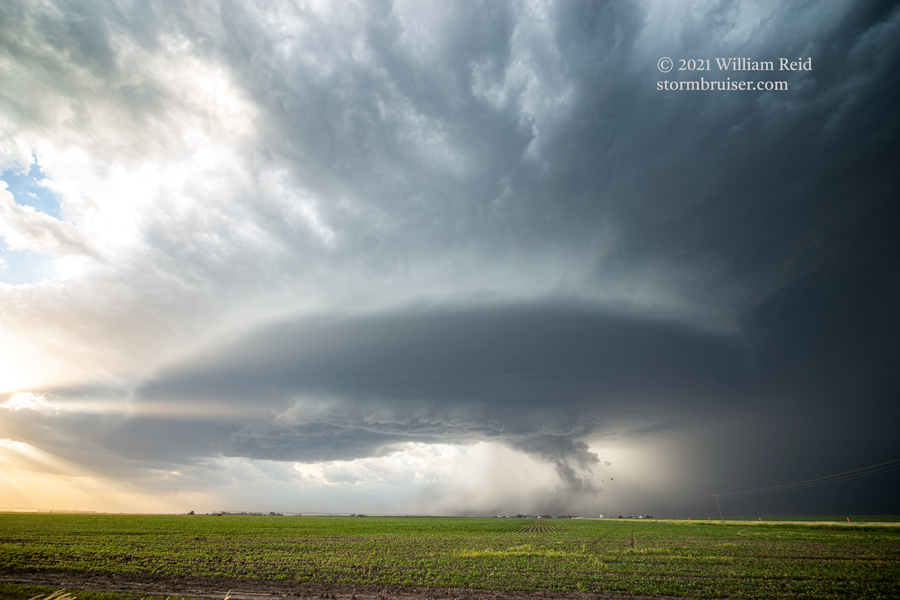
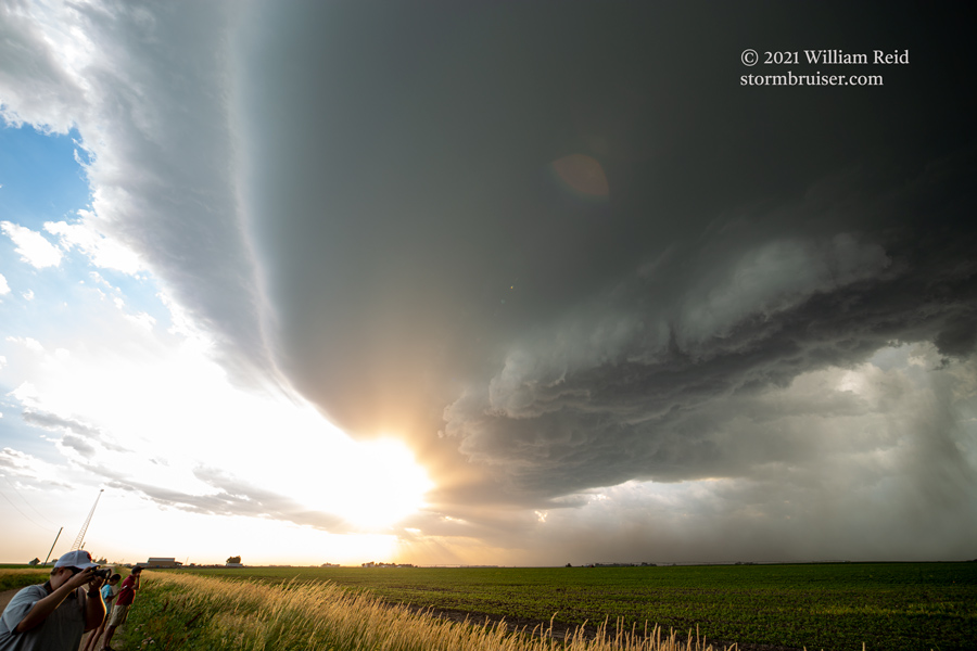
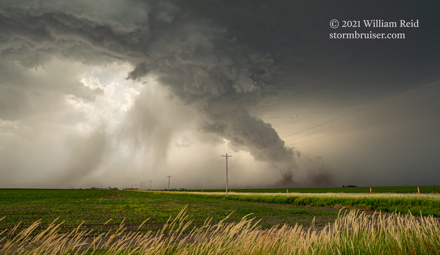
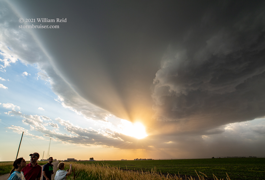
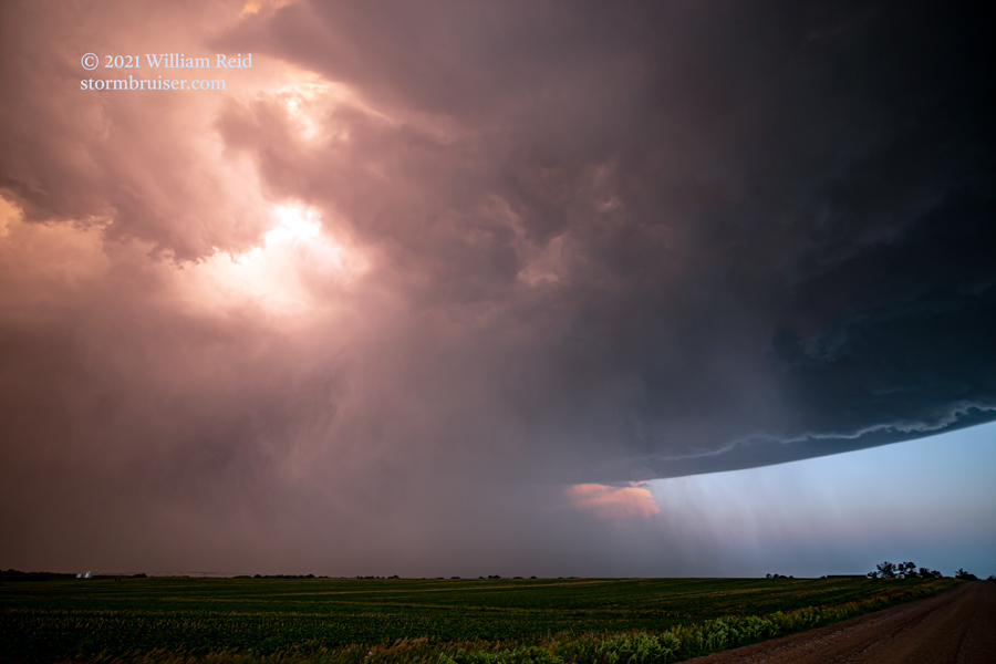
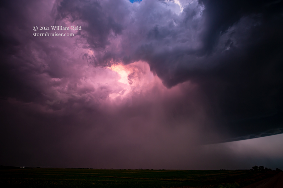
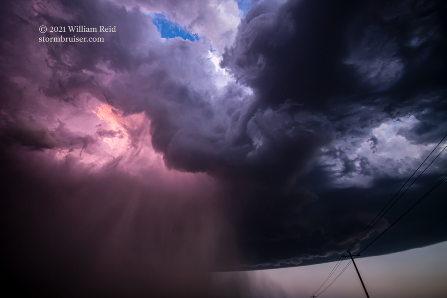
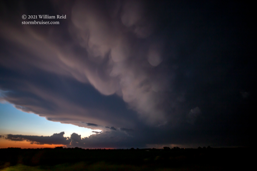
From York we cruised east on I-80 to get back to the action area, which was very wet. Some one-inch hail fell, and before we could get to the next exit, some goofballs were stopped beneath an underpass. I-80 was totally blocked eastbound. I got out and told the occupants who were blocking my lane that they were going to survive even if they continued. About 5 minutes later we were rolling again, and we stopped south of I-80, on the west side of the storm, for the sunset light.
Leave a Reply
You must be logged in to post a comment.