Start: Broken Bow/lunch: Runza and Subway in Minden/End: Salina, KS/about 425 miles
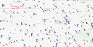
Surface plots for 5 p.m. CDT. “S” marks the approximate spots of our primary supercell-observing locales.
Wow — looking back at this chase day, it was looking darn good for a tornado or two along a warm front that was just south of the NE/KS border during the late afternoon. Marysville showcased a dew point of 77F (84F/77F!), with an east wind at 5 mph. Low-level moisture was not a problem! A surface low was over central KS, MLCAPE values were about 4000 J/kg, and SPC was considering a 10% tornado risk area along the warm front. (They kept that at 5 percent.) SRH values were very good (over 150), and 500mb flow was 40-45 knots from the SW or WSW. Sunshine was abundant during the afternoon. So, why is this chase account entry not filled with dramatic tornado images? Answer: Because there were no tornadoes.
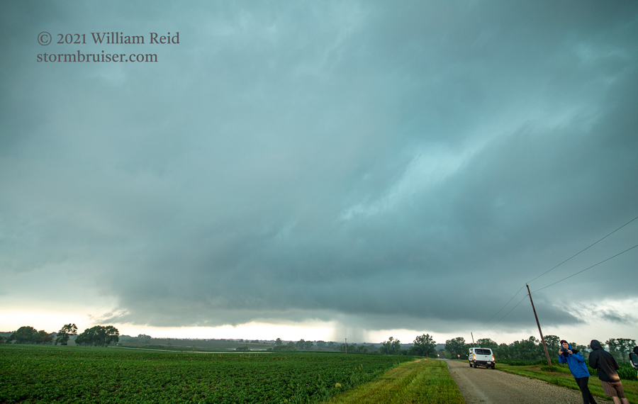
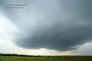
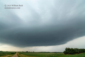
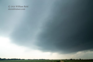
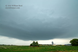
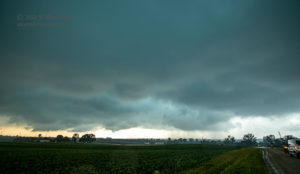
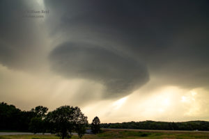
I seemingly made all of the correct chase decisions necessary today! We came up on a developing storm just southwest of Marysville. This storm because a decent and isolated supercell, with obvious low-level rotation. It dragged us north of U.S. 36 a little bit, and still looked pretty good as it became tornado-warned and turned more to the east (see first four images below). We had a road problem, though. The next option to the east was seven full miles north of 36, which meant an unpaved road in the storm core. No thanks. In order to stay with the supercell and to get back into position, we headed back south a few miles on U.S. 77 to U.S. 36, and then made our way eastward through Marysville. I crossed my fingers and said my prayers that the storm would not go into tornado-making mode during this timeframe. It did not.
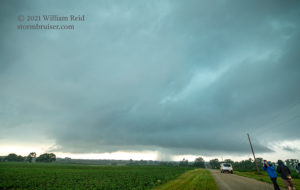
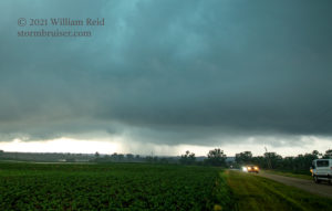
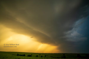
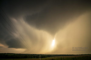
We wound up heading east about 13 miles to Route 99 and Beattie, and then north (with another east jog) a few miles in order to get east of the storm (see last three images above). As the images show, the low-levels showed decent structure and organization. The storm base was very low. A prominent clear slot had cut into the storm base, and MAYBE the action area was wrapping up a bit which raised our hopes some. Heck, SPC was gung-ho to some extent on tornado prospects in their 5:30 p.m. CDT mesoscale discussion. Here is a pertinent clip from that:
 With 200-300 m2/s2 0-1 km SRH
   observed via the 22z Topeka sounding, storms interacting with this
   zone of enhanced vertical vorticity will likely be capable of
   producing a few tornadoes as they track east over the next 1 to 3
   hours. A strong tornado may also be possible given the favorable
   parameter space with an observed effective-layer STP of 4.
We were in a great spot with the storm coming at us…but, slowly but surely, the storm became weaker and less-organized. Don’t ask me why. But if you were to ask me why, I would offer the following: I think that the surface winds coming into the updraft base were too weak. And, since they had a bit of a northerly component (ENE instead of due east), this low-level inflow was somewhat cool and stable. This low-level air had been moving beneath the storm’s anvil for a while, and of course had become rain-cooled. Tornadoes much prefer warm, moist, uncontaminated air. I have found that low-level inflow from the ENE or NE is a death knell for tornadoes, by and large. This storm was not going to be tornadic.
I think there was a Round Two storm back to the west again. It was tracking in similar fashion behind the first one. It certainly might sport some good structure, but at low levels the air was now cool and stable.
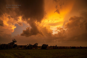
Our last-ditch chance was some isolated stuff near I-70, well south of the warm front. We headed south to Wamego and then I-70. The cells here rotated quite nicely, but were scrawny and high-based and wet and blah. After the obligatory sunset shoot, we headed to Salina for the night.

Leave a Reply
You must be logged in to post a comment.