
Start: Salina, KS/brunch at Perkins in Salina/End: Hugoton, KS/365 miles
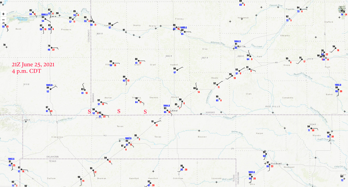
21Z/4 p.m. CDT surface map. “S” marks the approximate locations of the supercell which we intercepted.
Today’s chase prospects were not looking too shabby, as an E-W boundary was through Kansas with good moisture all along it. Dews ranged from near 70F around I-135 on the east side to near 60F in the southwest corner of Kansas. SPC liked the eastern side for tornado chances, with a 5%. Upper flow was more than efficient for supercell shear. Low-level flow was forecast to go nicely upslope in extreme SW KS by mid-afternoon. A huge slight risk was plastered over much of middle America.
We lingered in Salina for brunch following the briefing. I was not entirely sold on any particular area as a target. Following brunch we made our way towards Great Bend. This was done in part to keep the High Plains target in play. We continued towards Dodge City, and the more I looked at data and models, the more I became convinced that our best shot for a good storm would be the one forecast to come out of Baca County and into Morton County, KS, by mid-late afternoon. We passed some rinky-dink convection in the vicinity of Larned and Kinsley, but these storm towers were never worthwhile. The storm reports info suggests that there wound up being little chase-worthy this day in Kansas except for the supercell which we intercepted. By the time we reached Dodge City and scrambled for the pit stop, we had that Baca County storm on the radar and U.S. 54 was going to get us there.
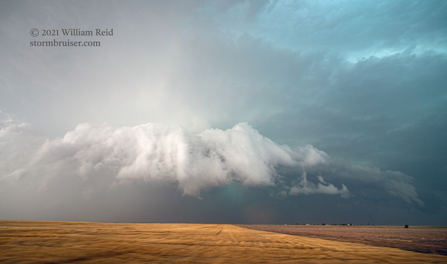
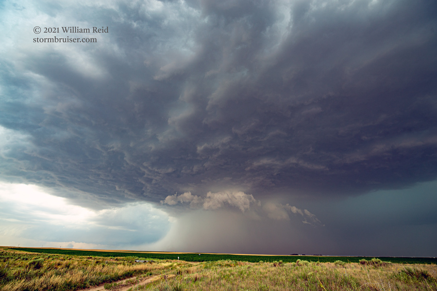
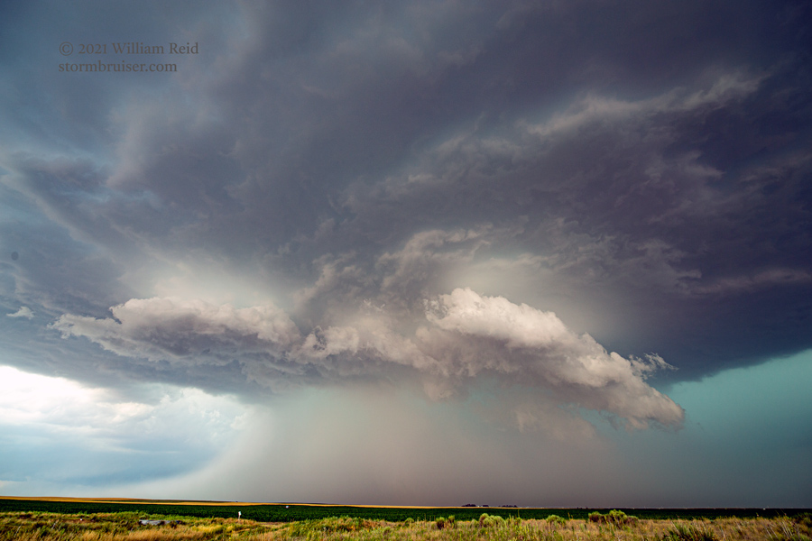
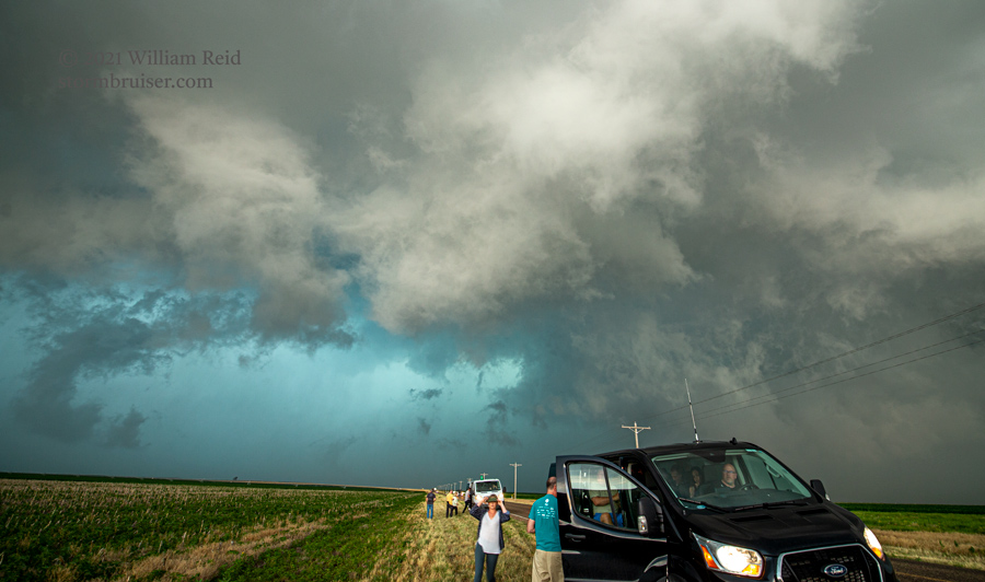
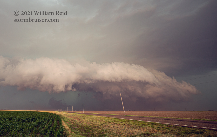
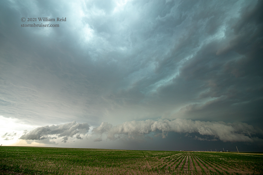
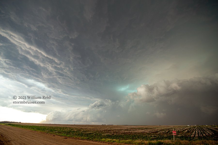
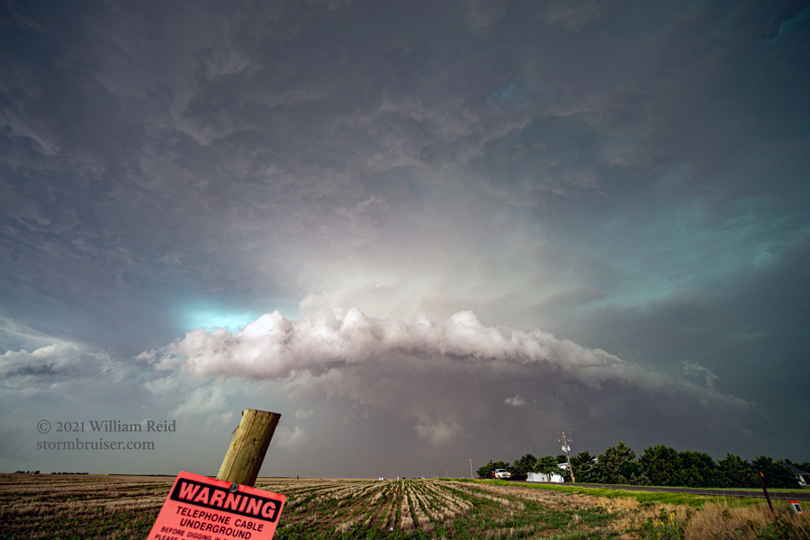
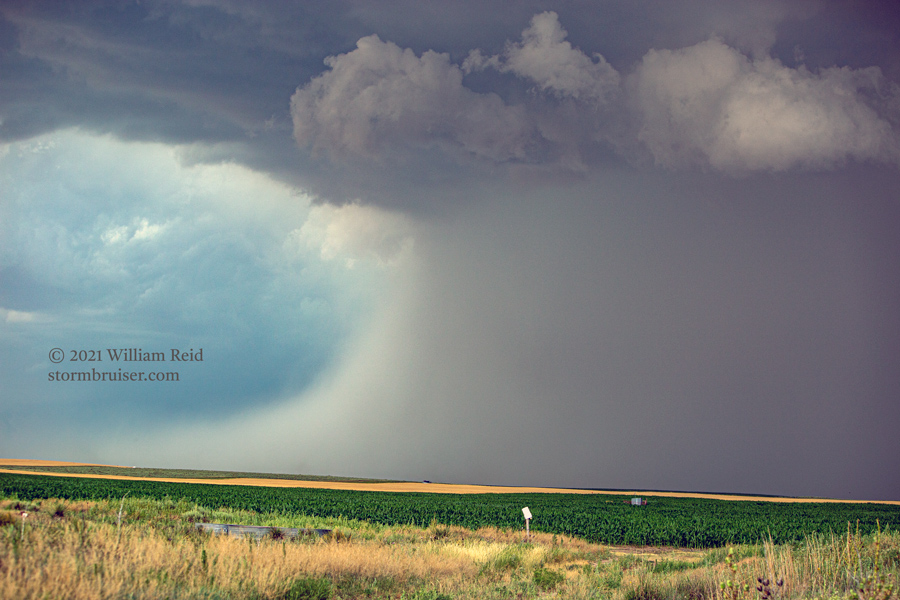
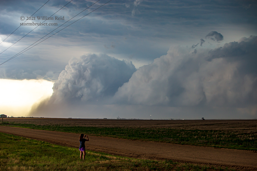
We stopped east of the cell south of Rolla, along Road D. It was rather high based. The storm morphed quite a bit as it chased us eastward down Road D through Stevens County. It became more of an HP supercell, with a bunch of interesting flanges and lowerings. On an occasion or two, it appeared that an action area was close to “spinning up” a tornado. We did not observe a tornado, though some rain-wrapping might have hidden something weak.
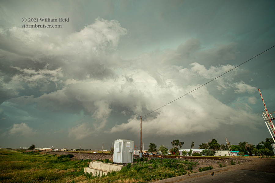
By the time we reached Seward County, the supercell was becoming a bit messy and outflow-ish. Additional storms were going up just to its south in the Oklahoma Panhandle. Our prospects for something any more discrete and photogenic were now bleak, so we found some cover in Liberal and got blasted with some winds of perhaps 50-60 mph. The hail remained small.
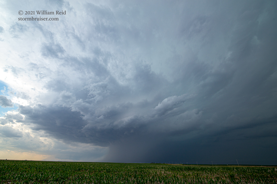
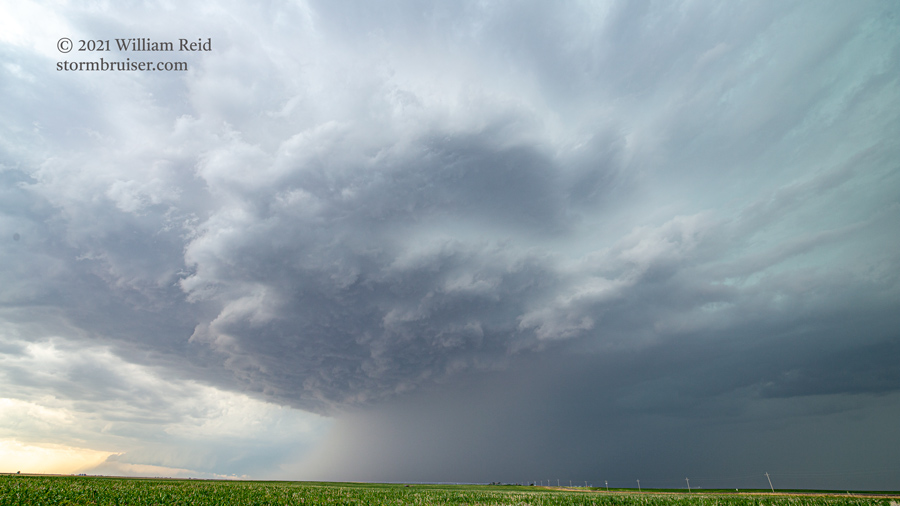
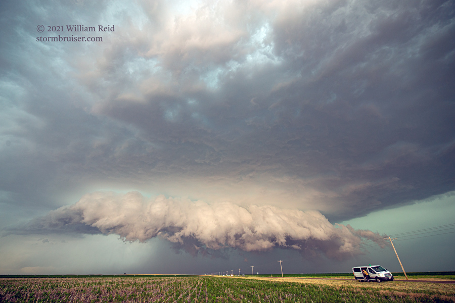
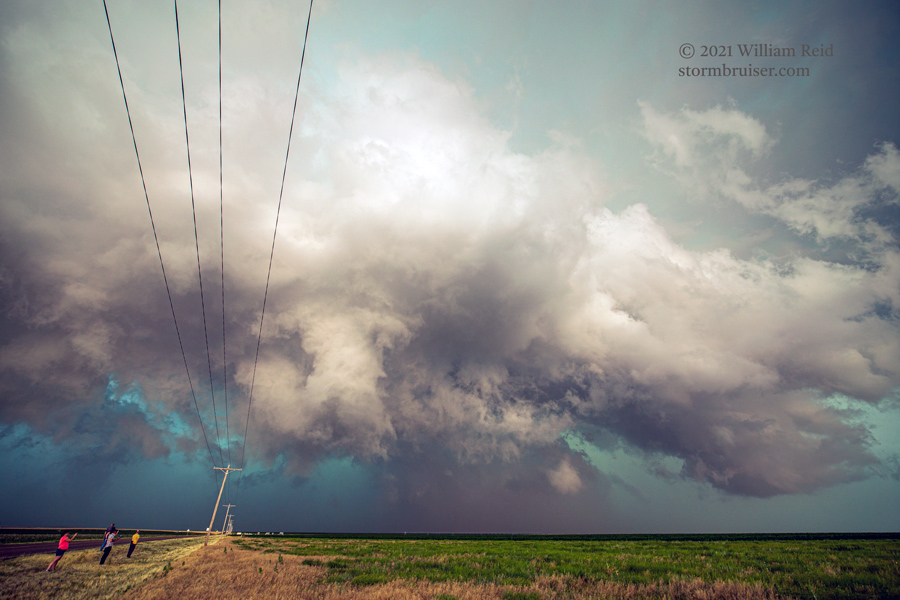
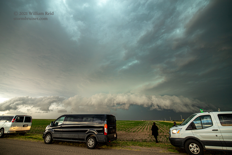
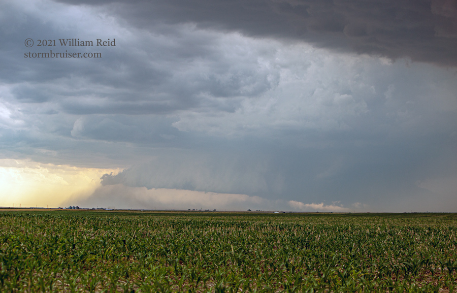
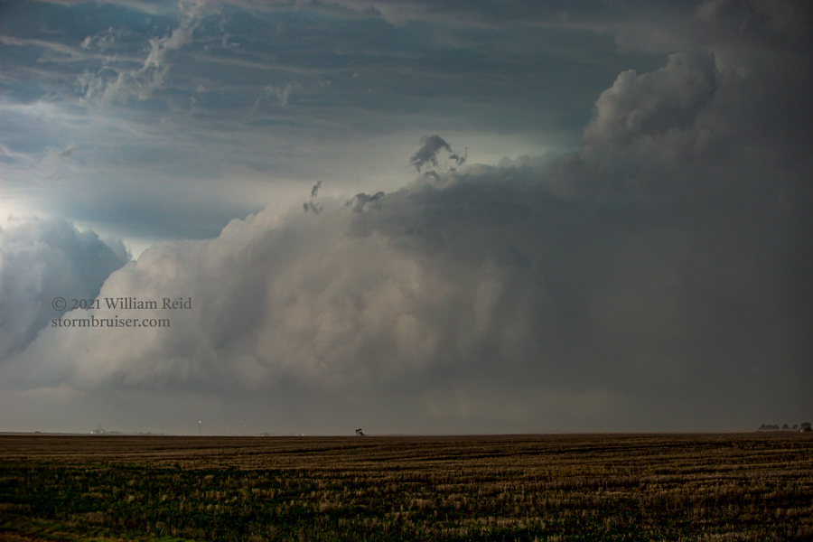
Here are few more shots, made with the long lens.
Leave a Reply
You must be logged in to post a comment.