A cutoff upper-level low pressure system was forecast to approach Southern California from the southwest on Monday. I was out on San Nicolas Island for my week as weather observer. I was checking forecast weather charts during my shift, of course, and the models showed some shower activity over coastal California and the offshore waters. Great! I might have a chance to photograph some lightning during the evening. Still, the models were showing most activity closer to the mainland, with just a few puny showers out where I was.
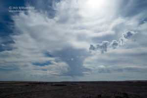
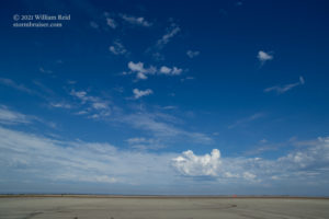
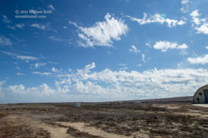
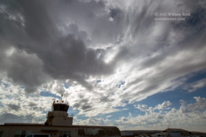
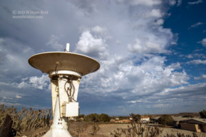
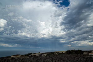
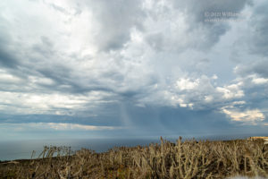
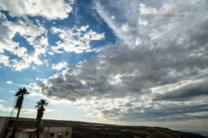
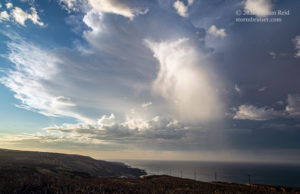
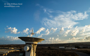
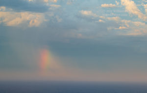
The daytime observer shift was interesting as there were plenty of altocumulus castellanus clouds, and even a weak storm tower or two during the mid-afternoon. After the shift, around 4:30 p.m., I heard thunder and saw a lightning bolt hit the waters to the ESE. The show was starting, and I made my way by foot to the little hilltop near my room. Below are pics taken prior to sunset. Though there was a good amount of lightning occurring before sunset, I had no luck catching these with the camera. The pics below (photos 5-12) are useful to give you an idea of my hilltop views during daylight hours.
I was dying inside during this “early show.” These thunderstorms were very high-based, and the bolts coming out of them were fantastic. There was still too much light to take long exposures, though. I thought that the best thunderstorm today might be this one. I wanted that darn sun to set already!
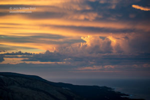
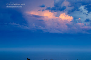
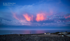
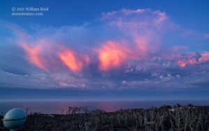
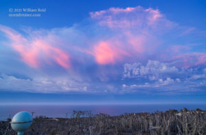
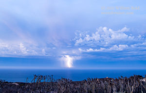
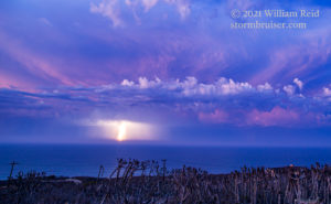
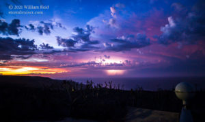
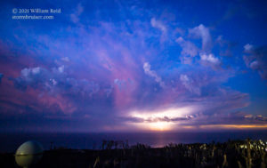
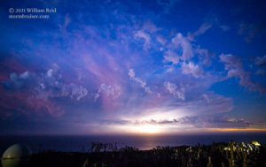
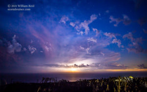
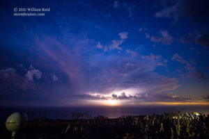
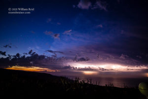
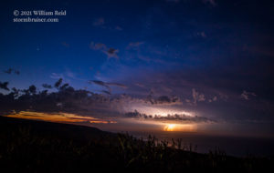
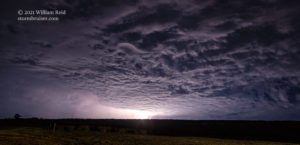
Well, good things come to those who wait, at least this time around. The thunderstorms kept rolling on through, moving northwestward from around Catalina Island to the waters just north of San Nicolas Island. My little perch has a sweeping view from WNW to N to ENE. The sunset light on the closest cumulonimbus cloud, to my north, was quite colorful! And, yes, I continued to miss the nice CGs out of this one when the light on the cloud was the best (images 2-4 below). Finally, it got dark enough to take shots of 1-3 seconds, and I was swapping my wide-angle 21mm for the long lens and back again. There were three directions to point the one camera.
The thunderstorm to the north was trying to outdo the thunderstorm to the WNW in color and CGs. The shots below were with the 21mm lens and most were a few seconds in exposure time.
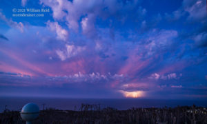
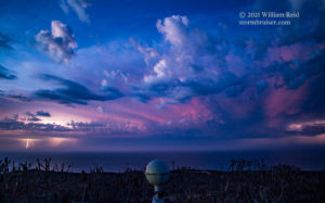
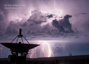
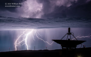
The storms on the north side of the island weakened some and moved farther away. I was gathering my stuff and about to head back to the room, when new lightning strikes were noted to the south! An abandoned radar dish of some sort was in the way, but I figured why not include it in the shots and see what happens?! Shots 3-5 below were with the long lens at 100mm.
I may as well share some of the consternation that I experienced on this “shoot!” My camera battery was less than half-charged starting out, and I was fretting that it would be done when the best lightning display commenced. I was kind of eager to get back to the room for a bit to recharge it a little! And, I had a tripod with me, but it was of no use as I had left the all-important “plate” for it at home. I.e., I could not attach the camera to the tripod. All of these shots were taken from a table top. I had the camera sitting on a towel, which was on the camera bag, which was on a couple of big concrete bricks, which were on the picnic table. So, most shots weren’t very straight, but that was fixable in Photoshop. Thank goodness that I did have the cable release.
The CGs to the south took a brief break and I hustled back to the room to charge the battery a little. After about 10 minutes, I could hear thunder again! Back outside, it was raining lightly. I tried a few handheld wide-angle shots (from near my building in Nicktown) of nearby lightning with no luck. It rained moderately and then let up, and the lightning was now back to the north. I had to get back up to my hilltop!
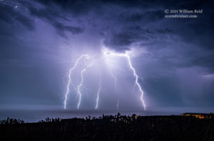
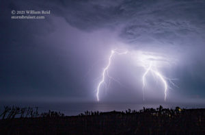
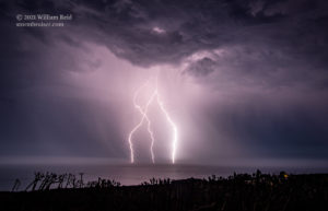
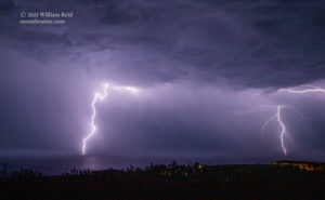
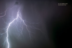
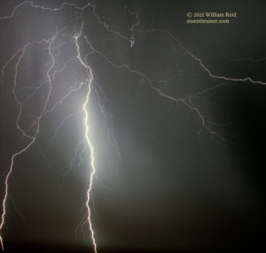
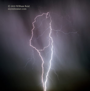
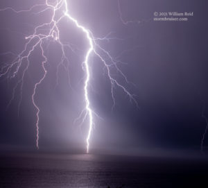
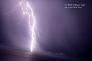
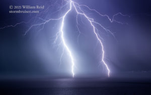
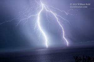
Back on the hilltop, the lightning to the north was CLOSE and spectacular! I stuck the wide lens on and caught a few good ones — pics 1-4 below. Thereafter, I had the long lens back on for the zoom shots. By the time I was finished up and the show was winding down, it was around 10 p.m., I had taken 975 photographs for the day, and more than 1000 lightning strikes over Southern California had been reported by the NWS.
text










Leave a Reply
You must be logged in to post a comment.