

Start: Wichita Falls
Lunch: BBQ Barn at Buffalo Gap
End: Fort Stockton (566 miles)
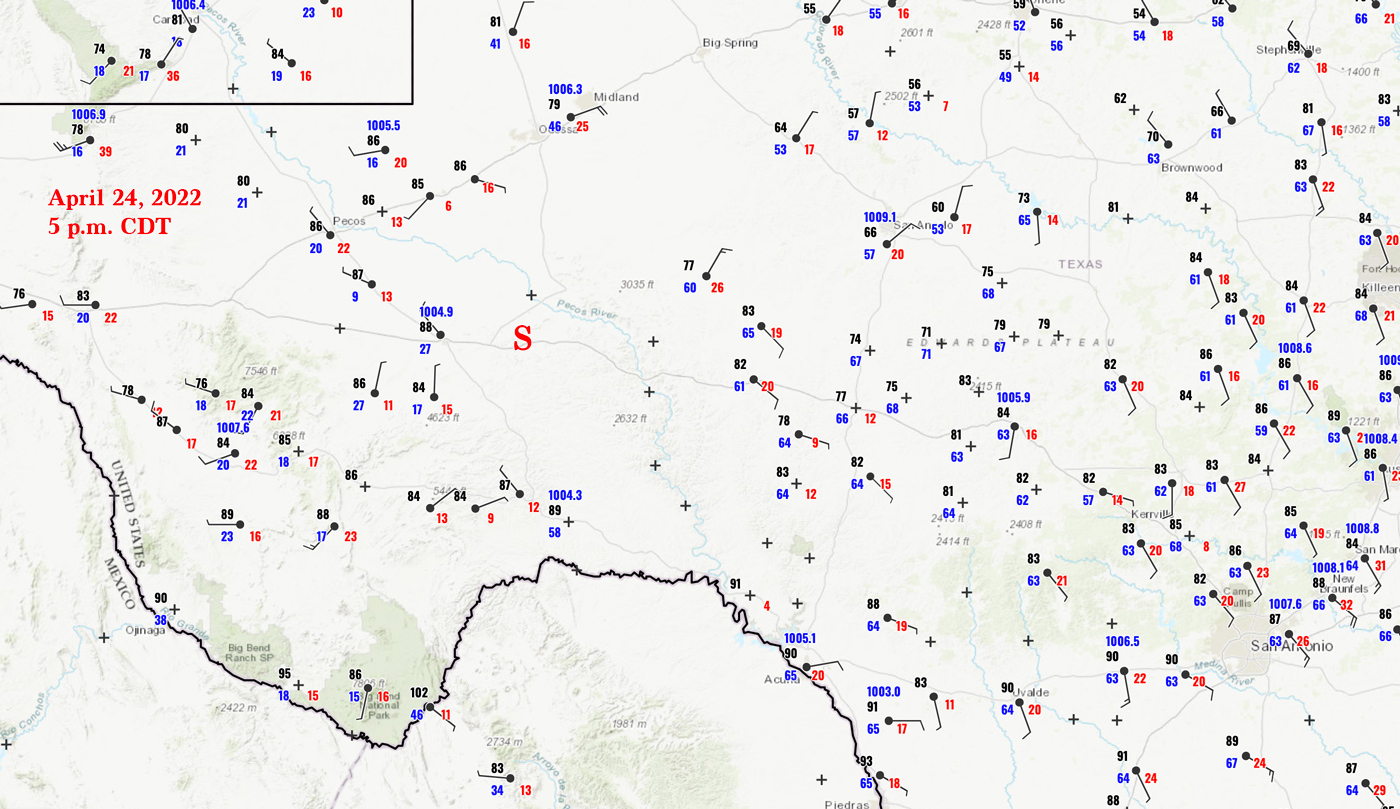
Like the day prior, I had to decide where along a long a cold front I needed to be. And, as usual, I migrated southward towards the area where the front was intersecting the dry line. This was down around I-10, southwest of San Angelo. Shear and instability looked good enough for a supercell, but tornado prospects were low-end. That surface map above nicely shows where winds converge near I-10, east of Fort Stockton and southwest of San Angelo.
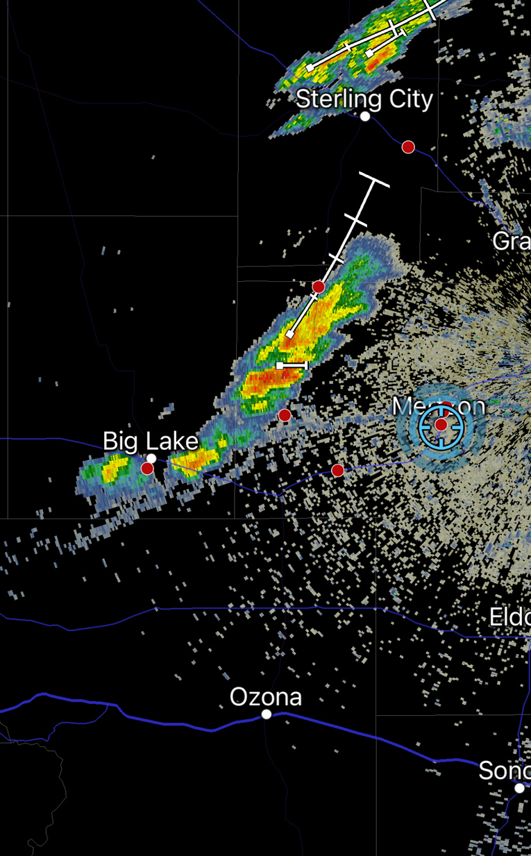
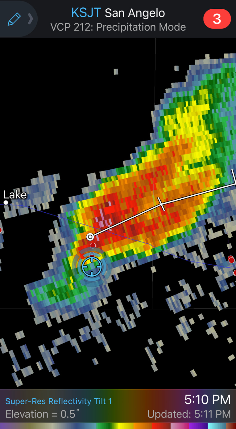
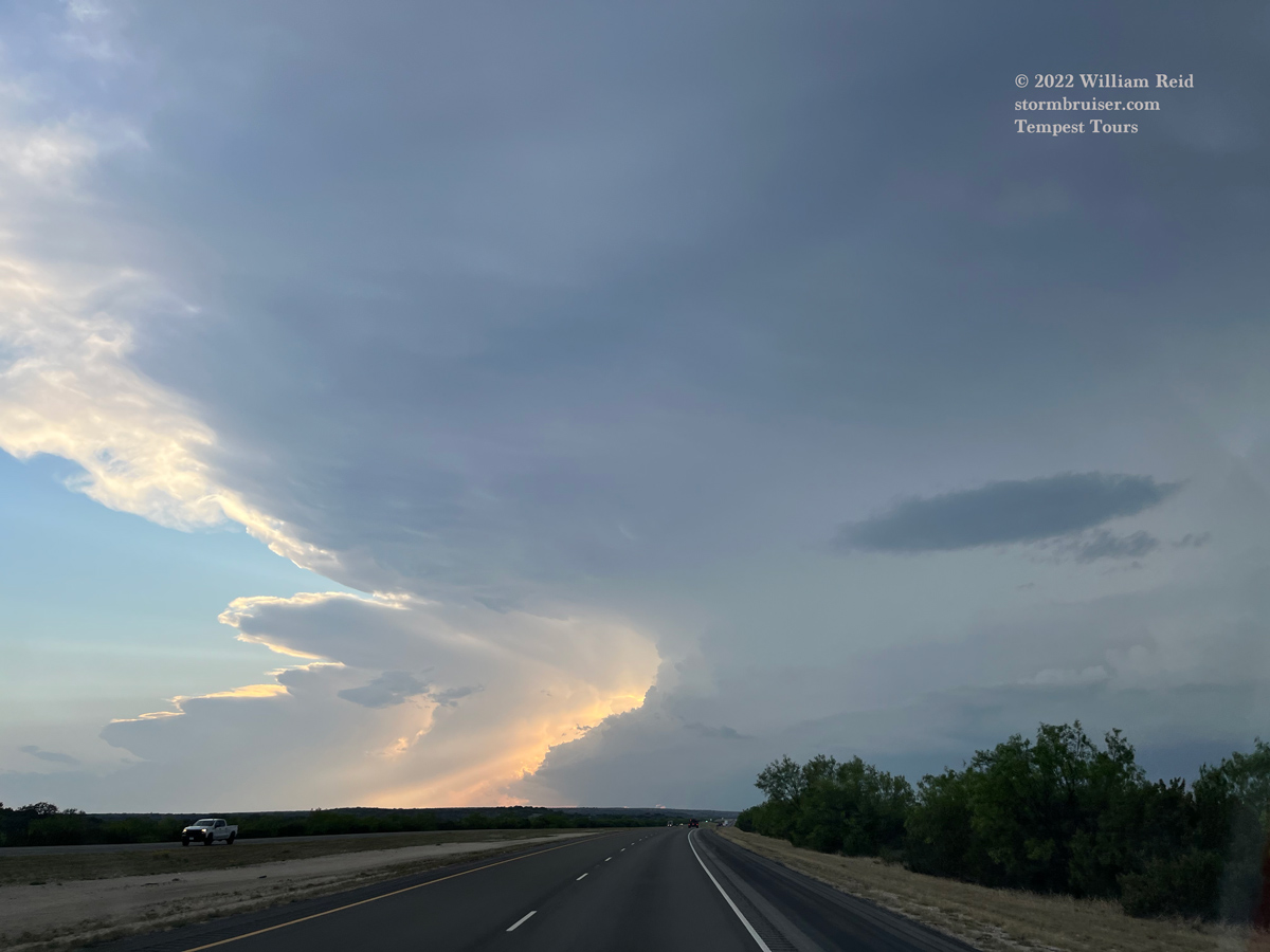
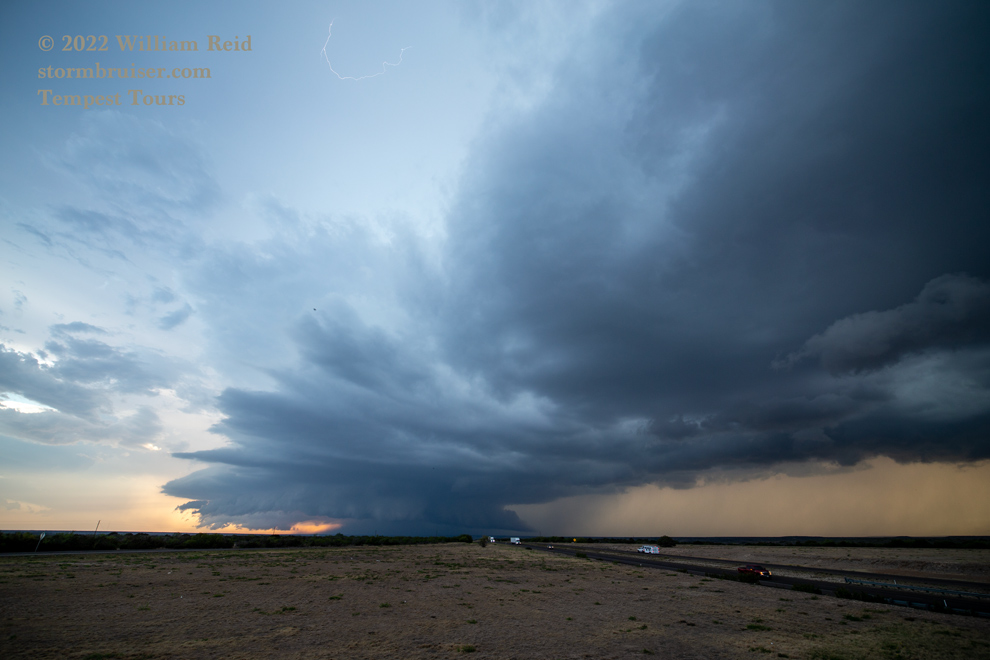
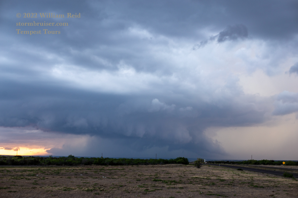
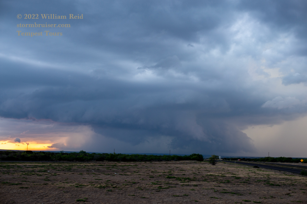
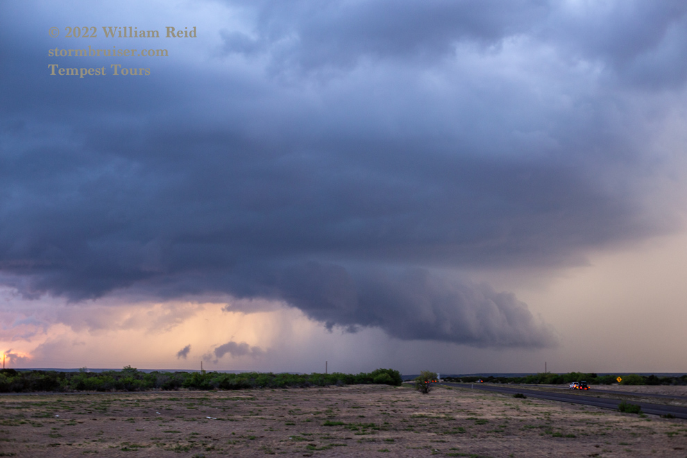
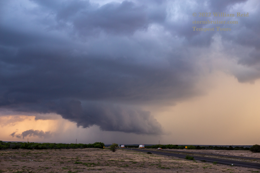
We came up on a decent and discrete rotating storm between Barnhart and Big Lake. Its base was somewhat on the high side, but low-level structure was not bad at all (first four images below).
We wound up on an unpaved road (147?) to get south to U.S. 190. By this time, the main show was to our east and ENE. We headed east on 190 a ways (15-20 miles?) to keep pace, but it looked like this one was going downhill as it neared the San Angelo area. It may have been getting involved with more of the cool air near the cold front.
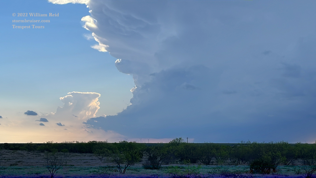
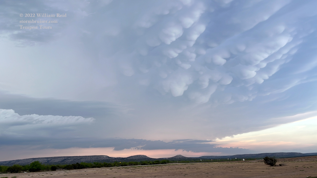
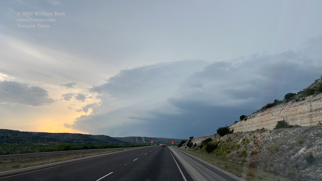
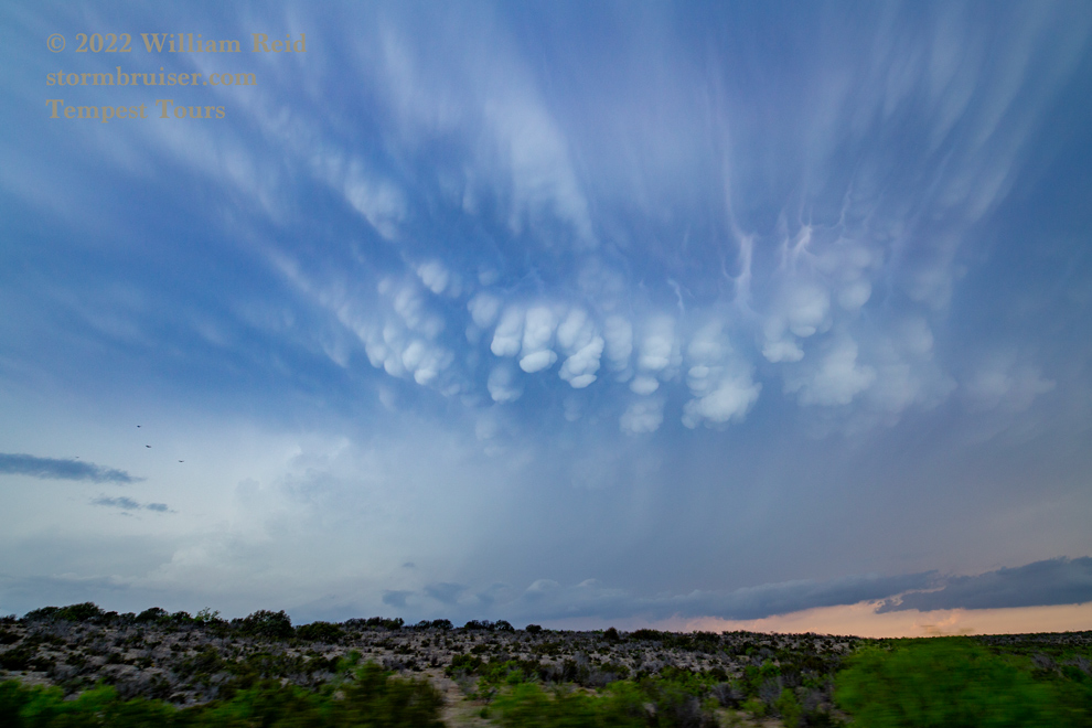
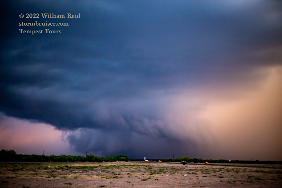
It looked like our best bet was back to the WSW, and new stuff was developing that way. We found a rotating cell that provided a mammatus display (near Ozona), and then continued west on I-10 for a supercell near Sheffield (pics below). The Sheffield storm showed excellent organization and a wall cloud, with some hints of funnel cloud or tornado attempts.
Leave a Reply
You must be logged in to post a comment.