
Start: Shamrock, TX
Lunch: Joe Taco in Canyon
End: Childress (569 miles)
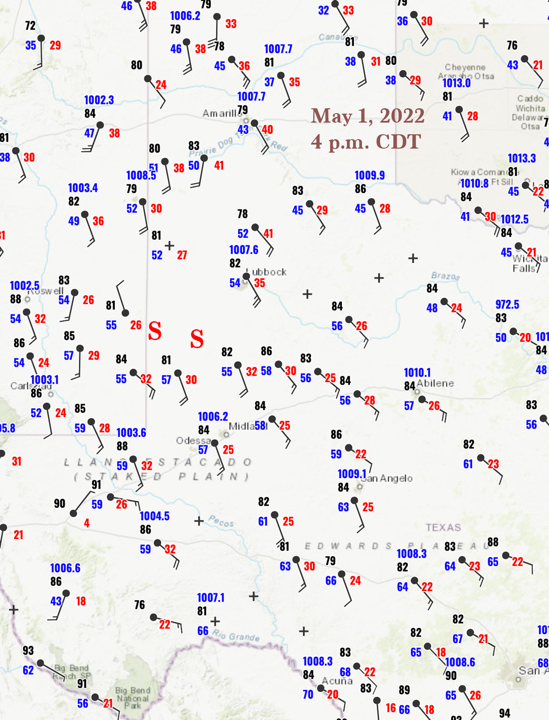
SPC drew a large 5% tornado area in their enhanced slight risk area covering West Texas. There was a decent increase in low-level moisture north to south: 4 p.m. dew points ranged from 50F at Hereford to 57F at Seminole to 59F at Fort Stockton. I initially was thinking of Clovis, NM, as the target area, but during the early afternoon it was apparent that dew points there were not going to be adequate. We dropped south on 214 a few counties and easily managed to get right in front of a rather decent rotating updraft base. I might add here that tornado prospects did look slightly better down around Fort Stockton (slightly better dews, slightly better backed winds), and there did occur a decent tornado or two that way for many chasers. During the afternoon I didn’t see quite enough of an advantage to that southern play (Fort Stockton) versus the northern play (W and SW of LBB), so I elected to stick with the northern play and its much better road network.
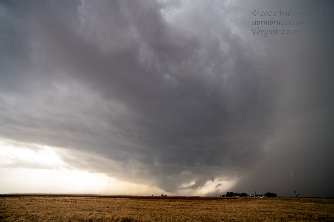
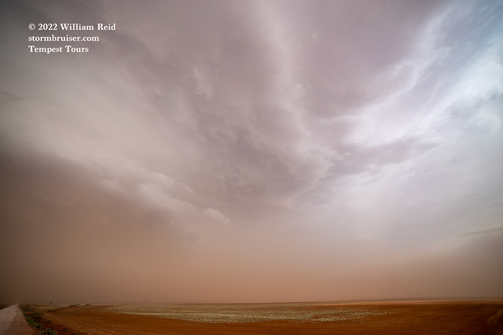
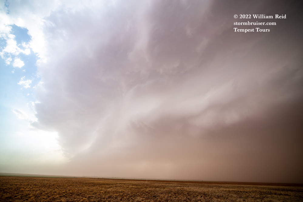
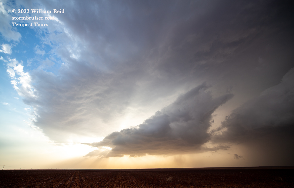
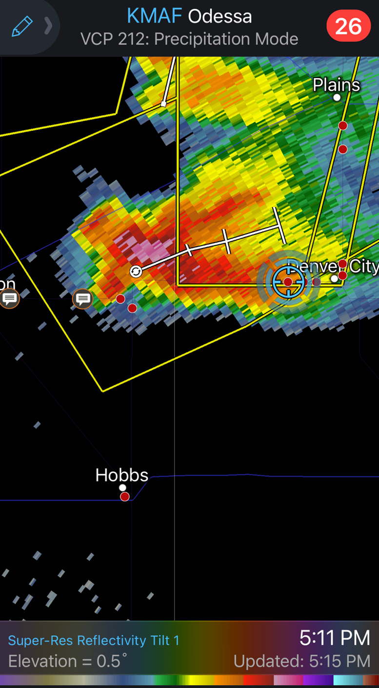
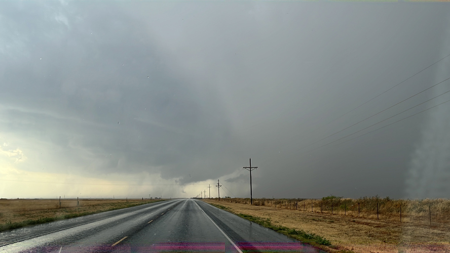
At Denver City we turned west, and the impressive base of the supercell was about ten miles down the road to our west (just west of the TX/NM line). We stopped about halfway to it and watched it approach.
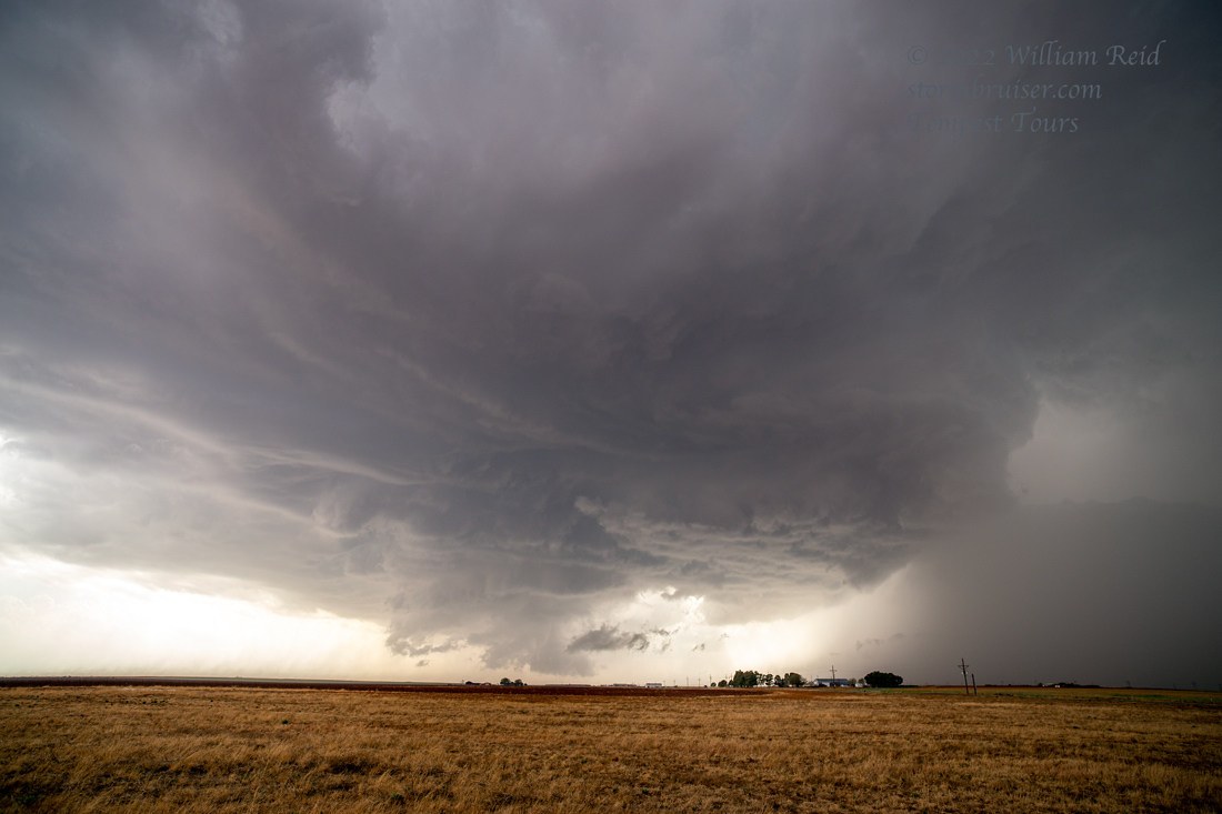
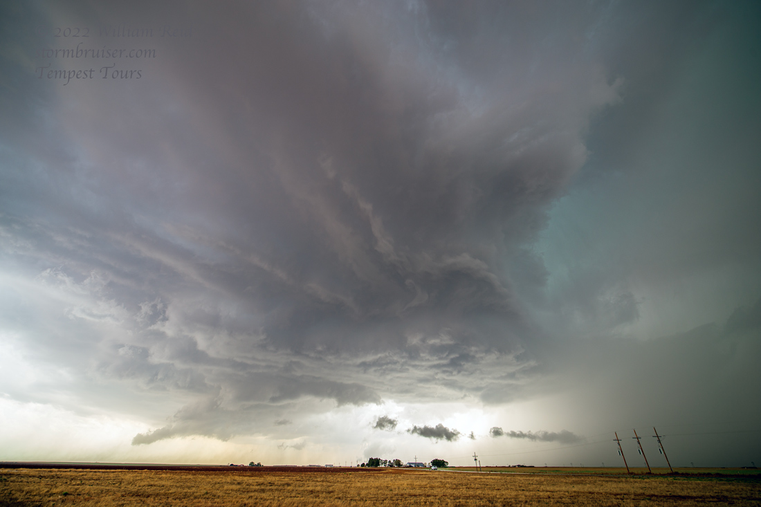
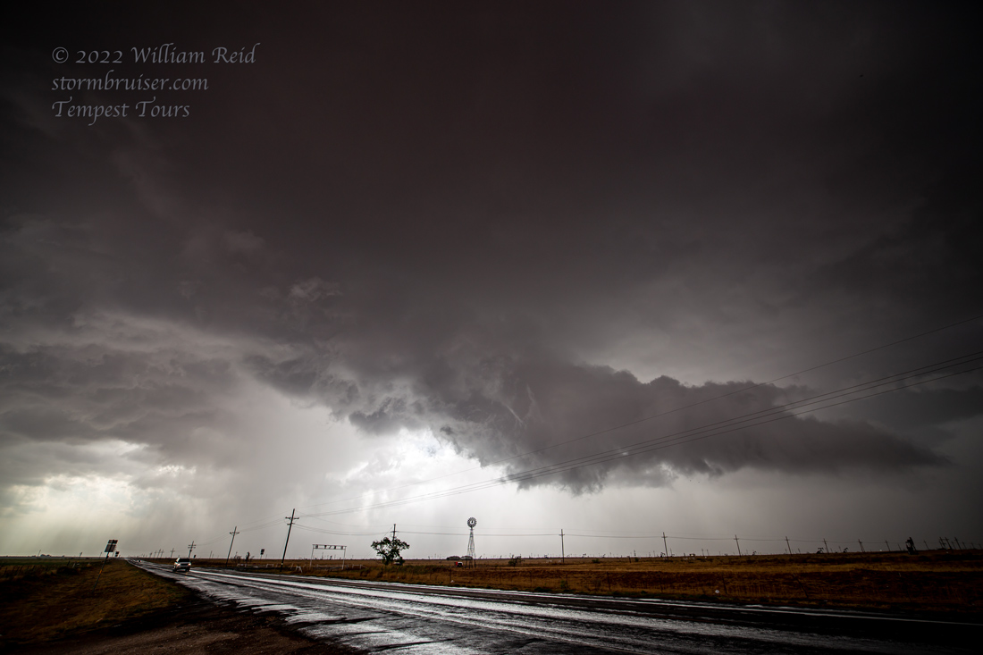
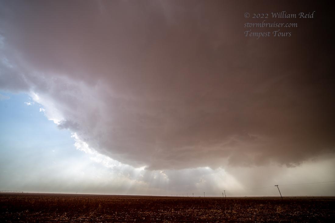
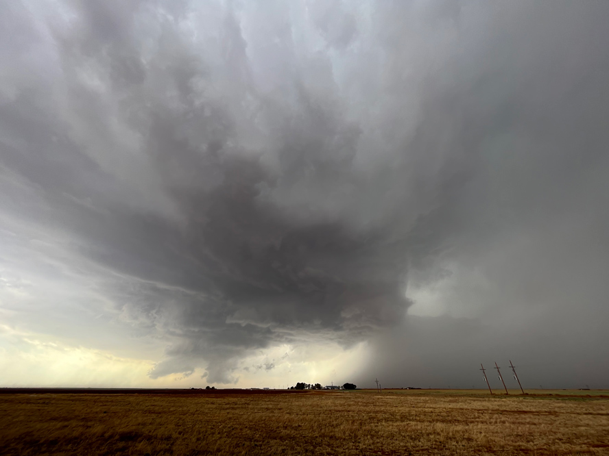
The storm looked like a good tornado-making candidate, especially during those first 5-10 minutes west of Denver City. Baseball-sized hail was associated with this storm, it was tornado-warned, and it pushed us east of Denver City to Seagraves. By this time, the base was a bit higher and it seemed that cool outflow was undercutting the base and squashing our tornado hopes.
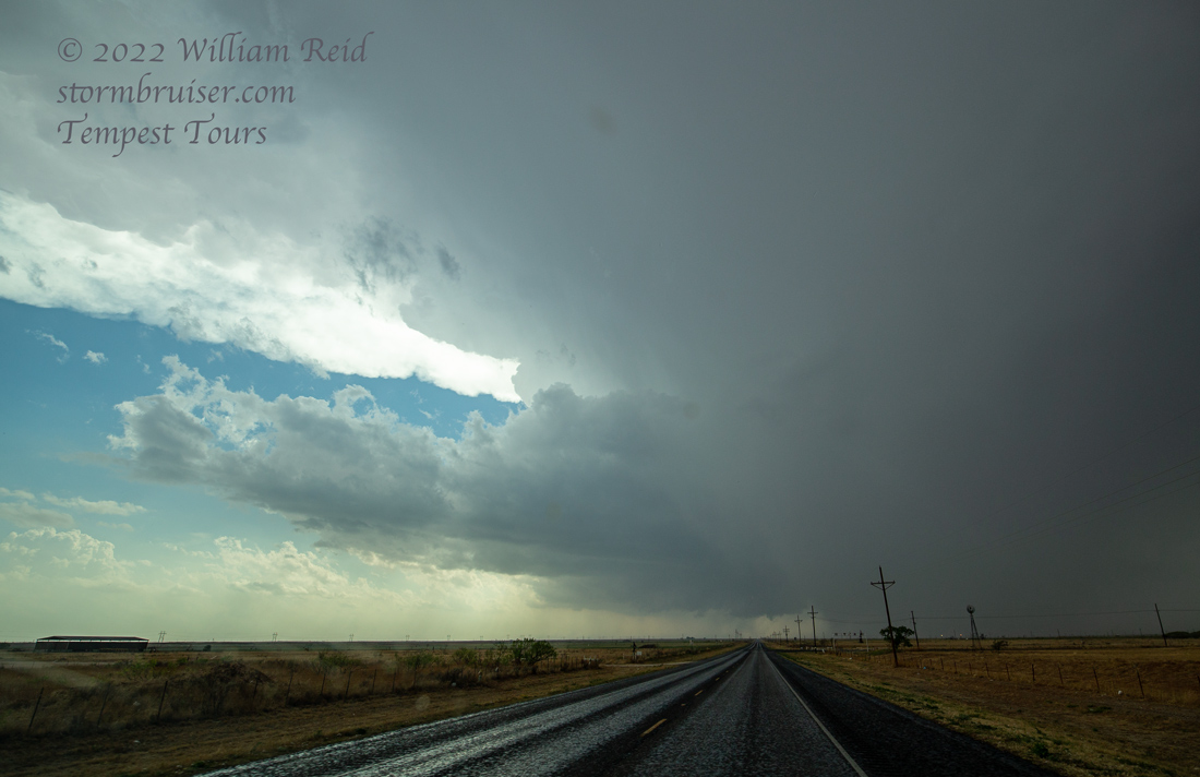
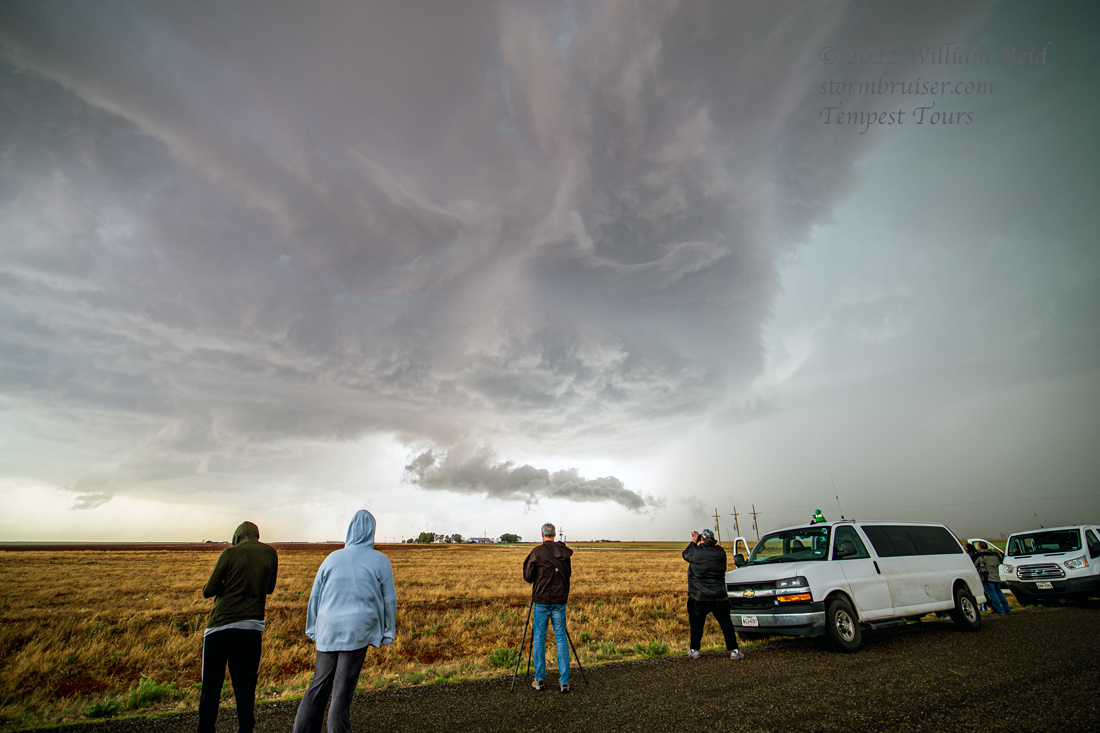
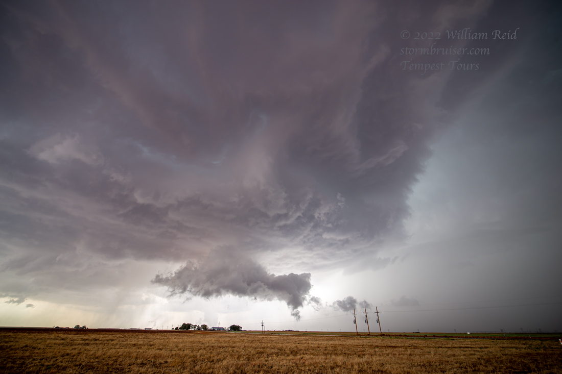
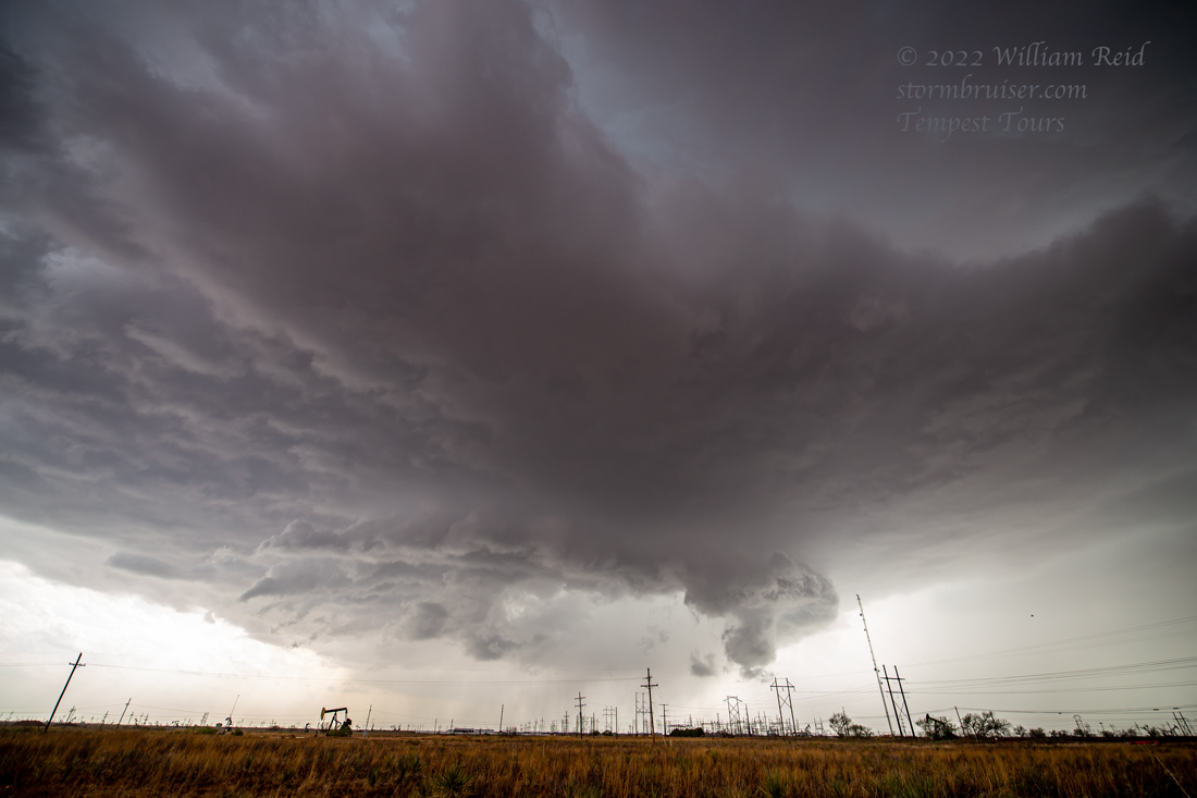
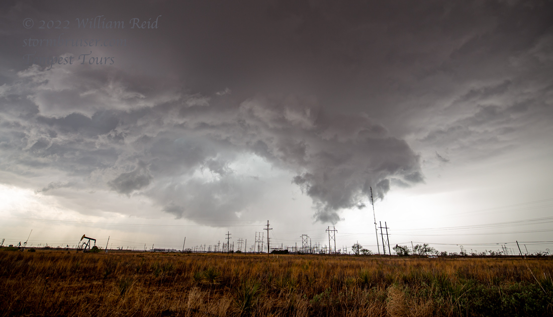
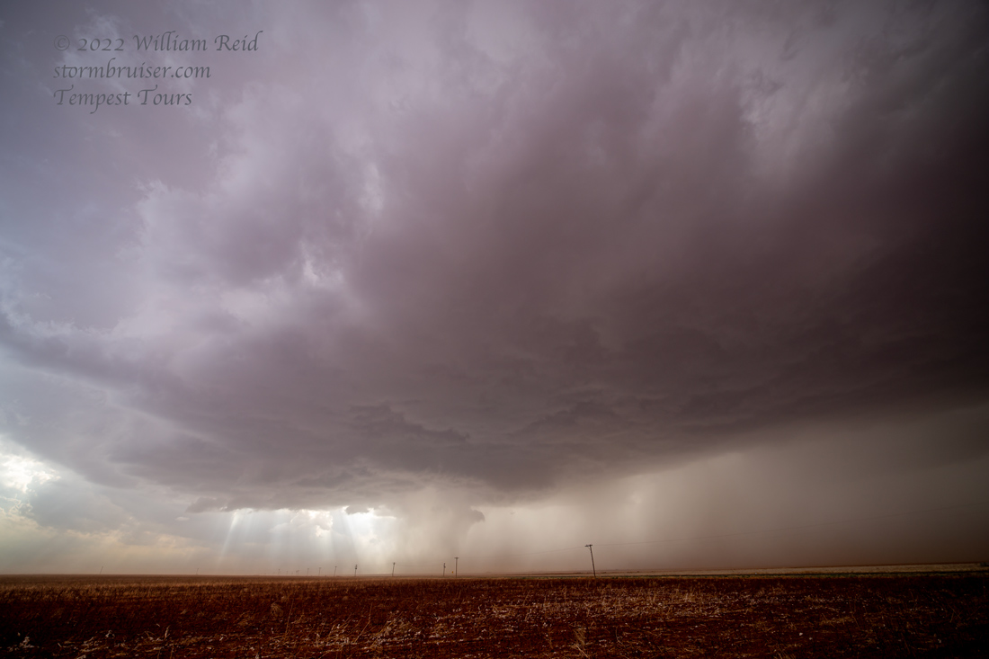
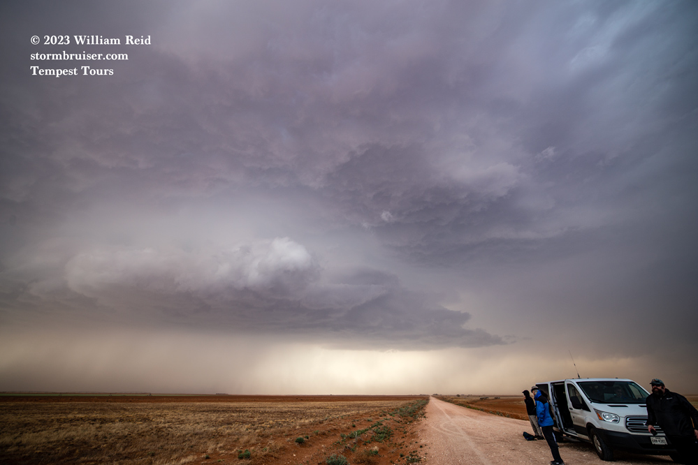
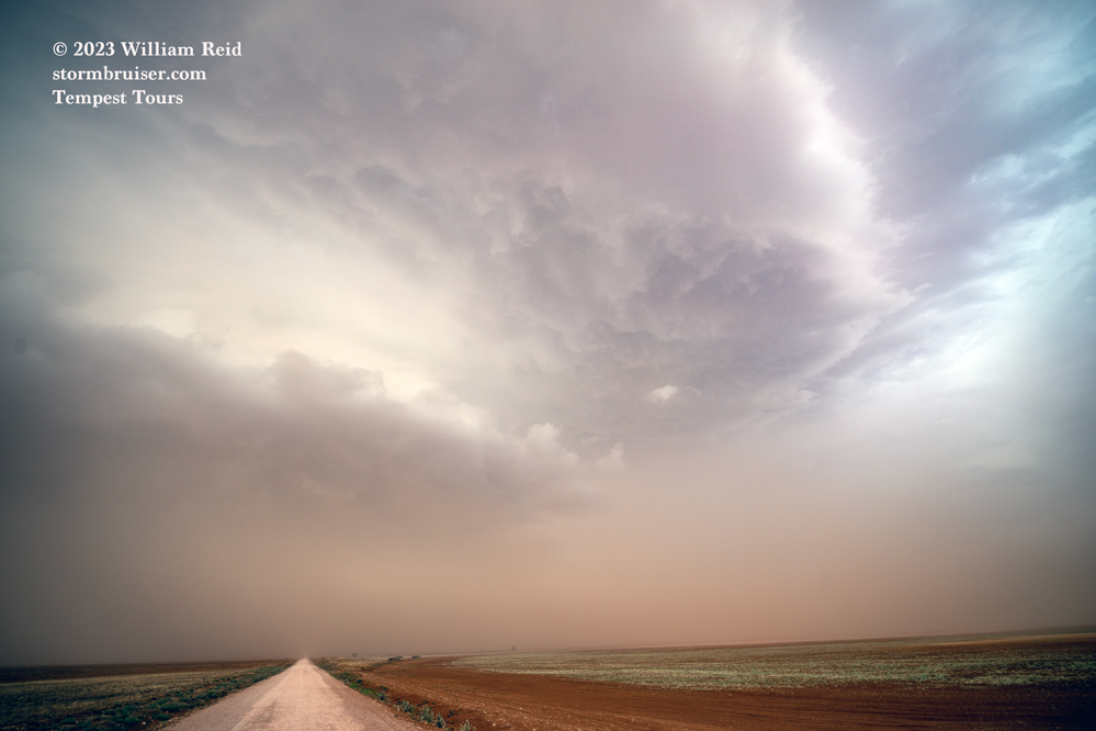
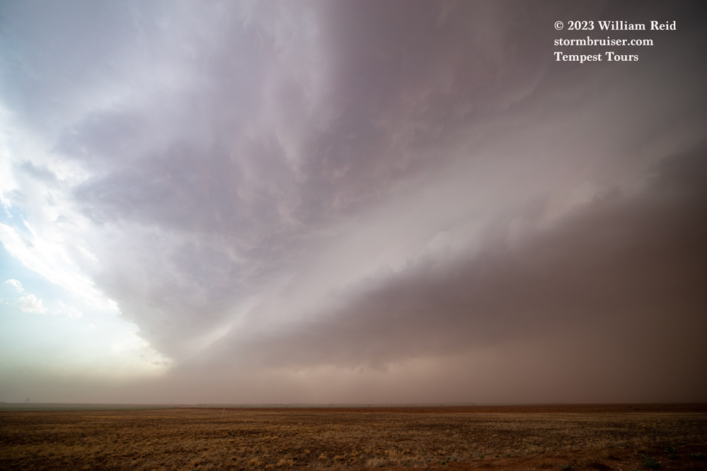
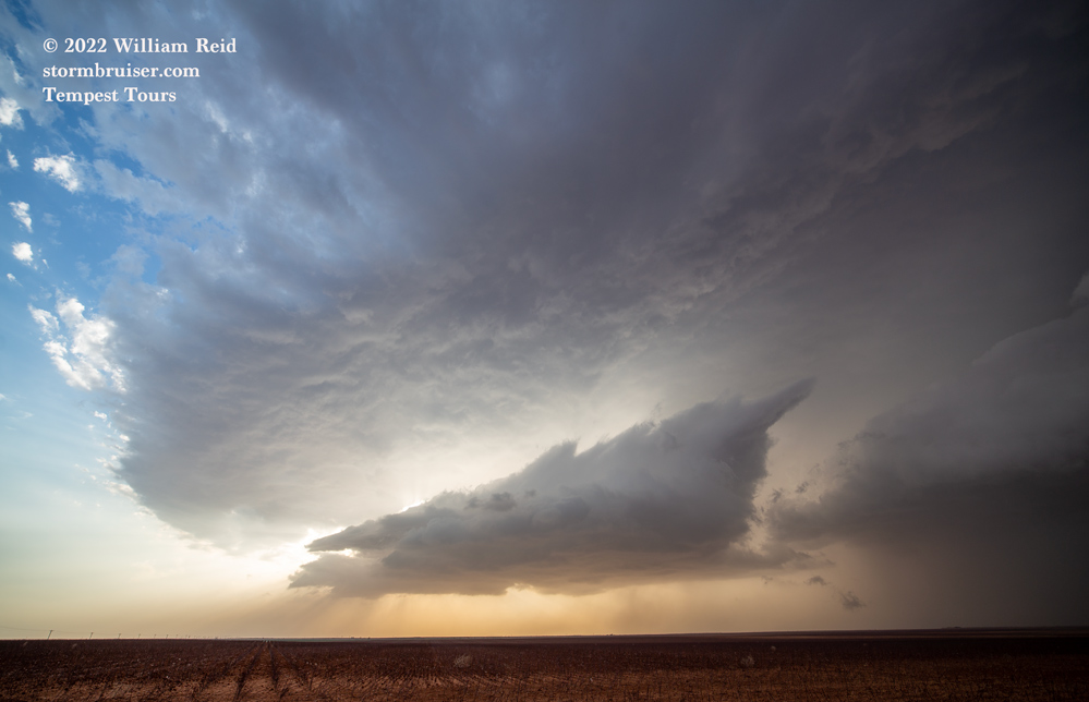
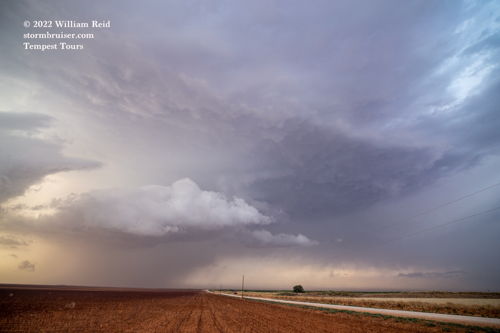
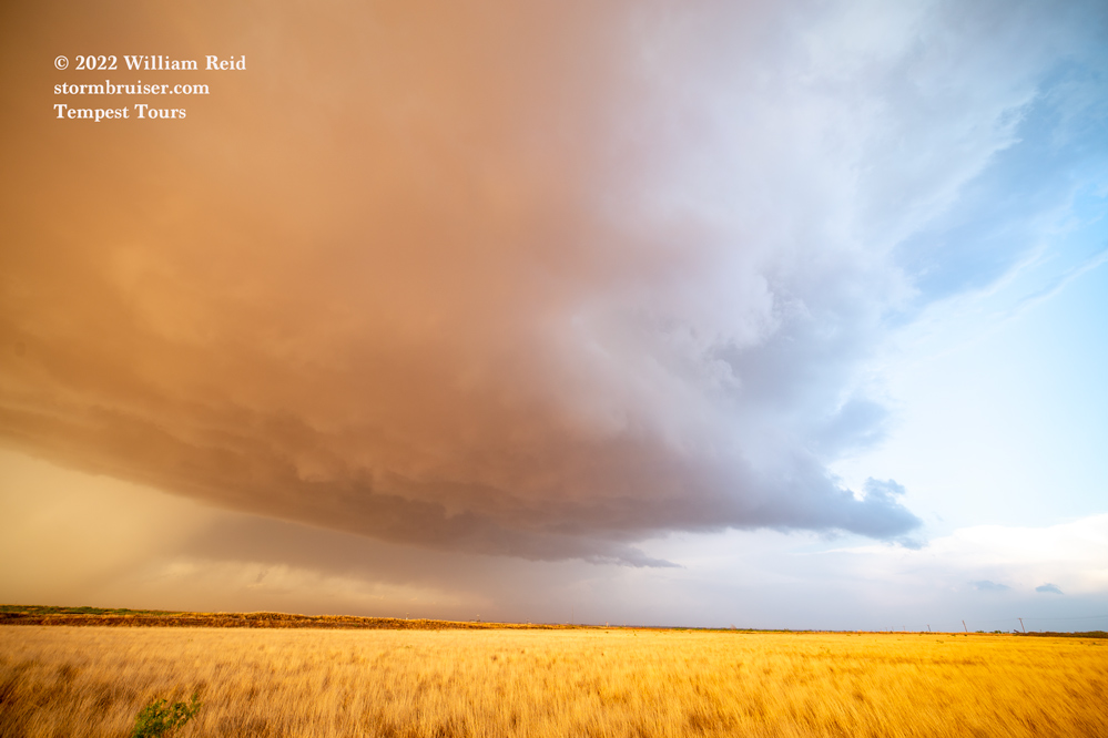
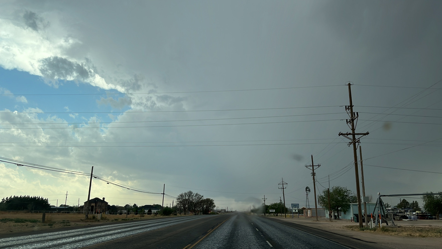
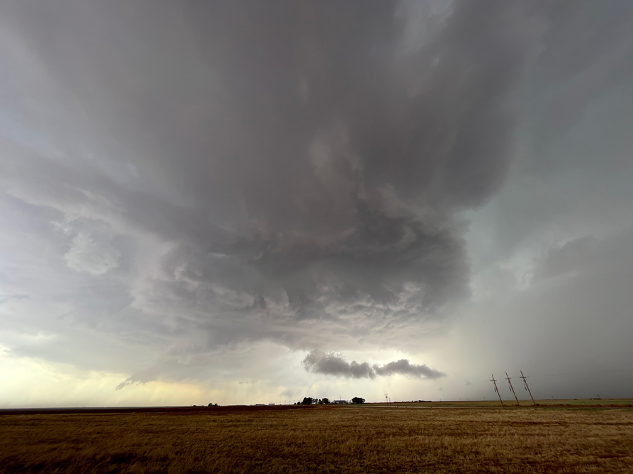
The storm continue to the east of Seagraves some, and was soon ingesting a lot of dust on strong inflow winds from the southeast. The supercell structure was quite good, but the storm was content to move along without making much of a move towards tornado-making. Or, maybe we just could not see what was going on inside of that dust beneath the base.
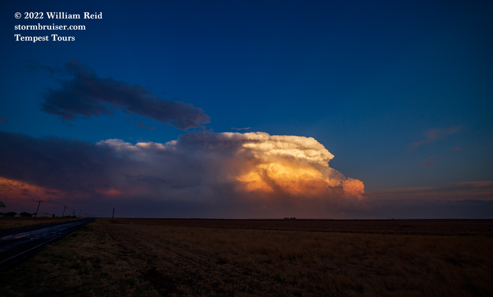
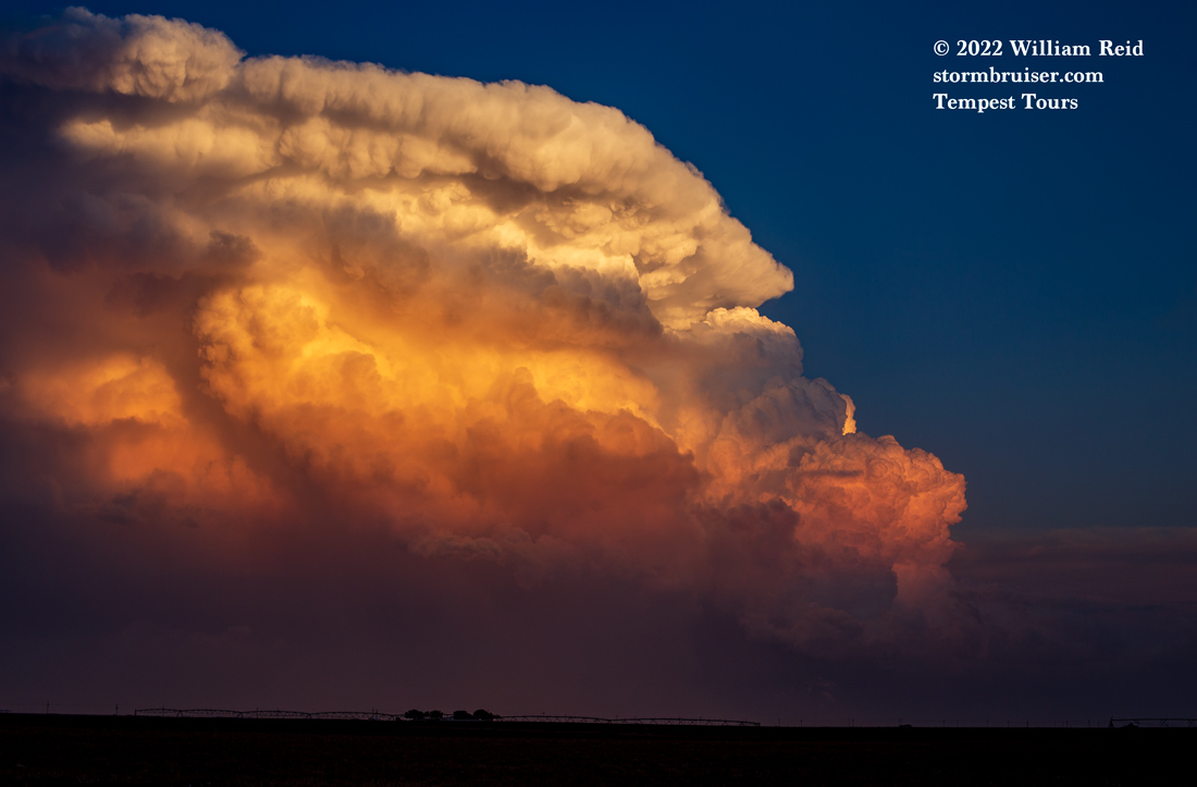
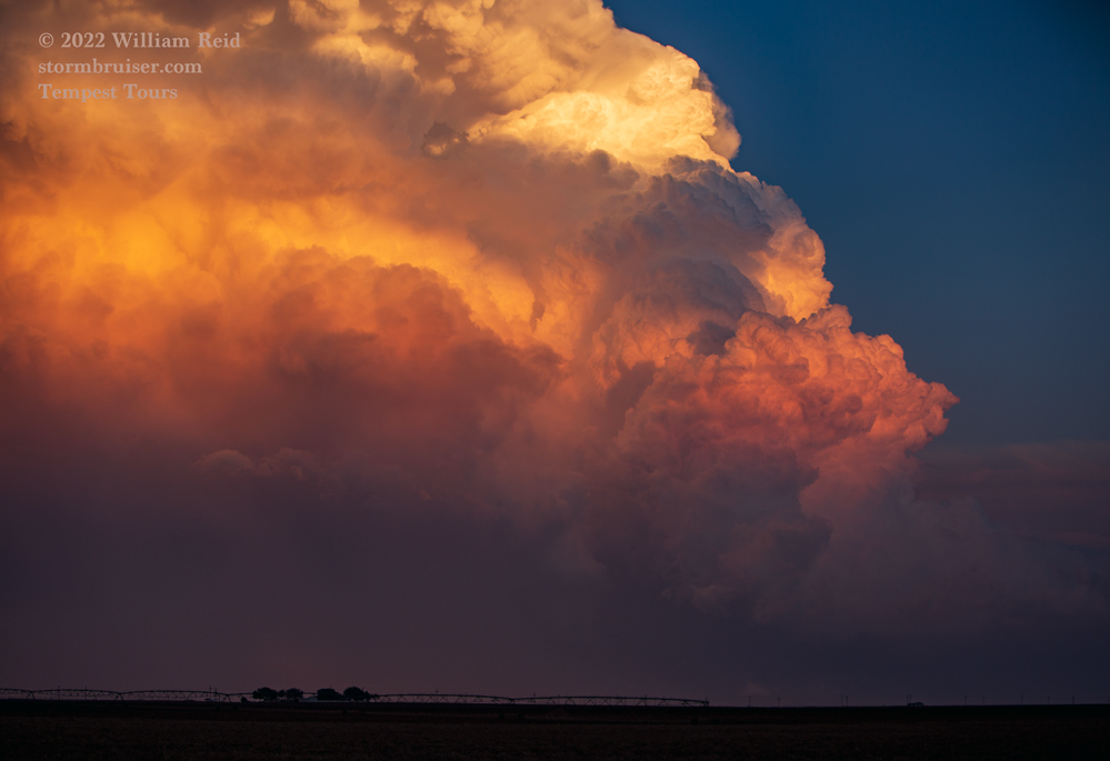
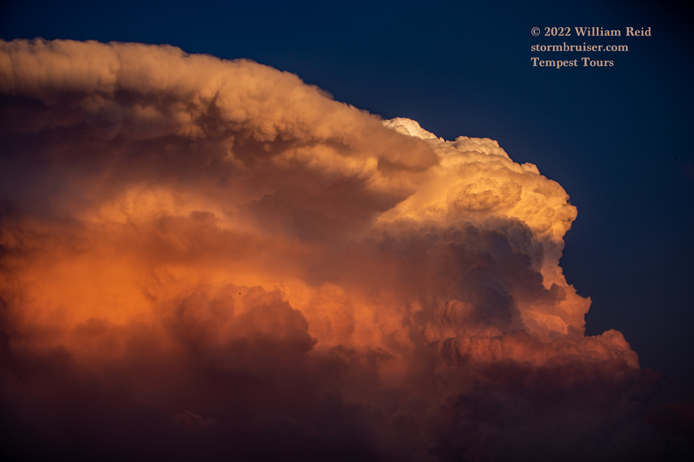
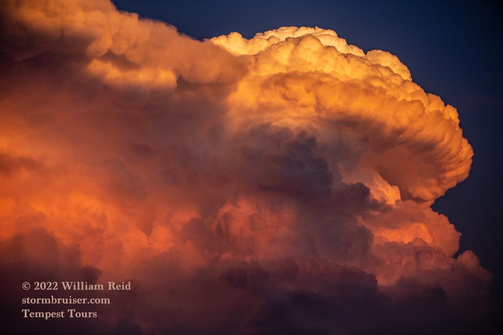
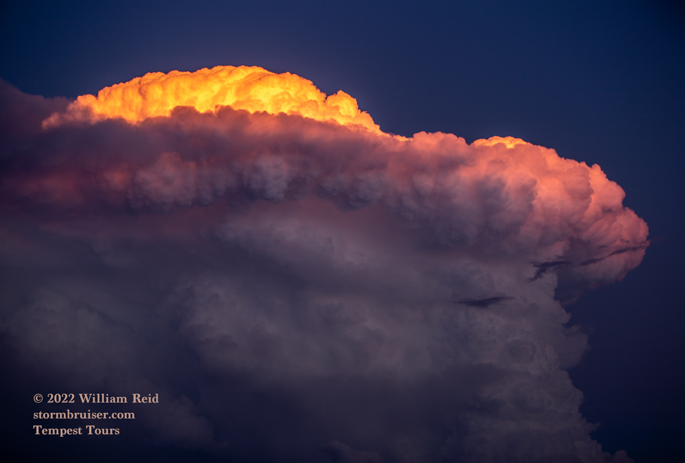
We let the storm go a bit before sunset, and then stopped near Brownfield to get some shots of the updraft in the orange colors after sunset.
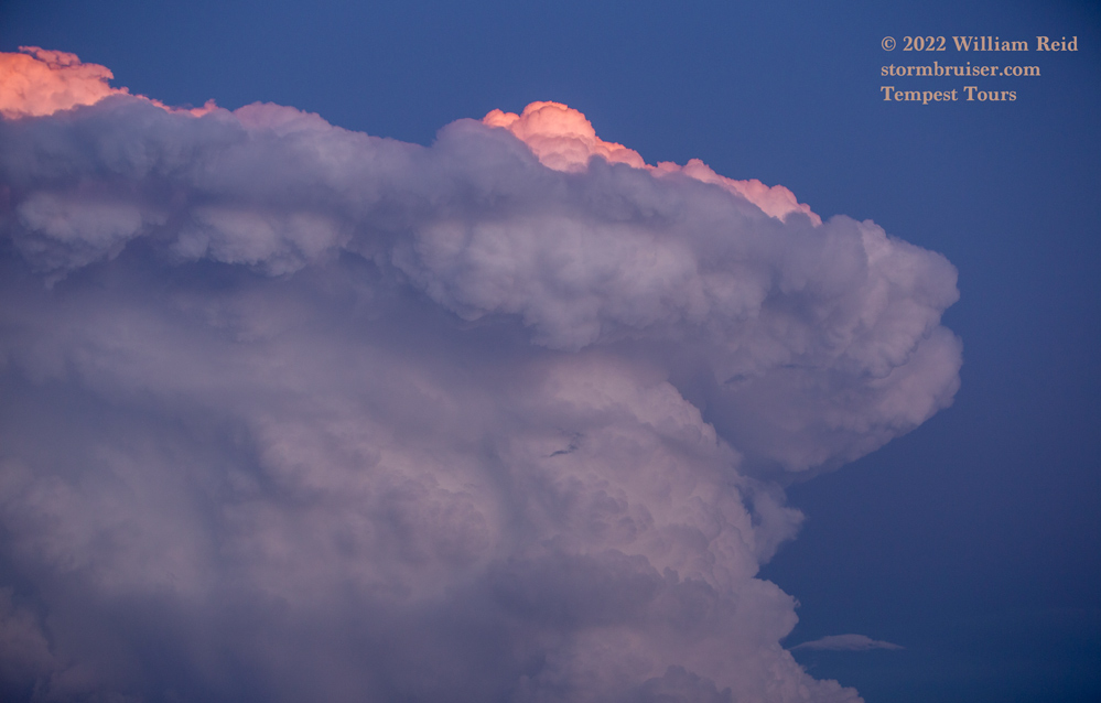
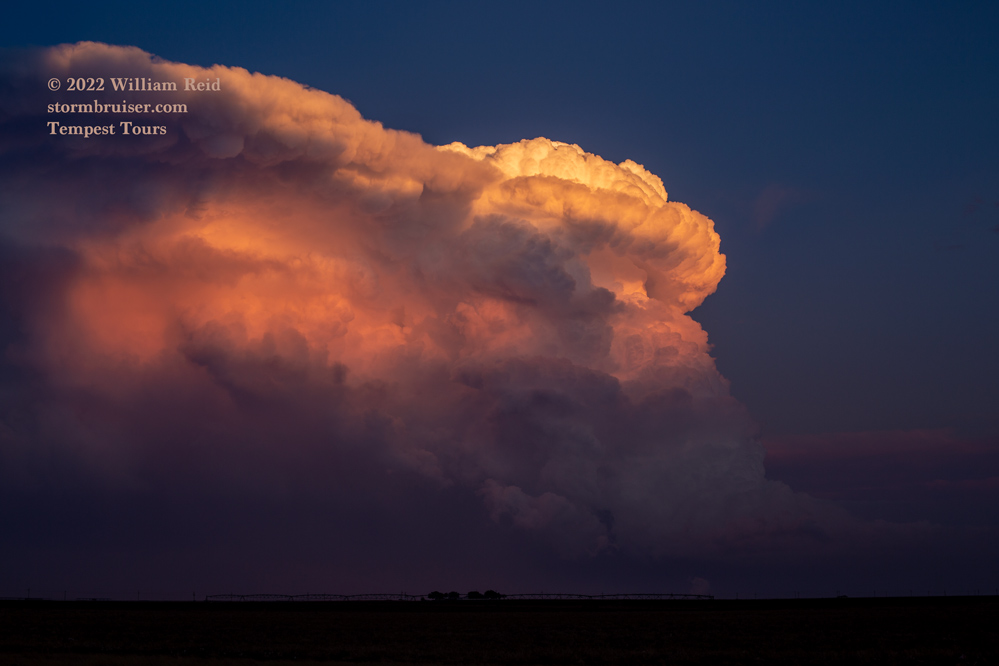
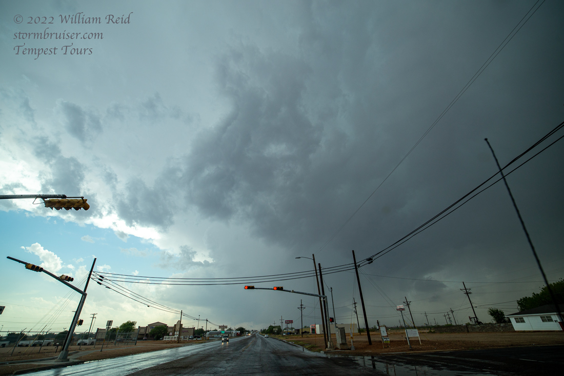
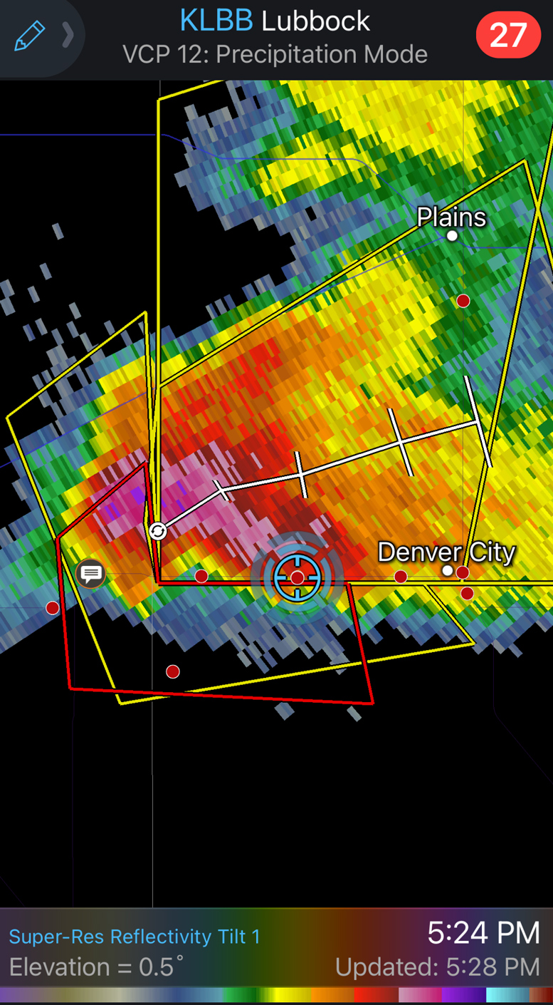
Supplemental iPhone pics and a couple of radar shots below, while west of Denver City:
Leave a Reply
You must be logged in to post a comment.