
Start: Childress
Lunch: Woodward fast food
End: Lawton, OK (541 miles)
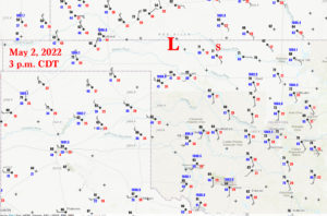
Wow — this was shaping up to be a BIG day for chasers in western Oklahoma. SPC went with a moderate risk and a little 15-percent-hatched tornado circle around Enid to Ponca City. A really nice-looking upper-level wave was moving east through KS and OK on this afternoon. Shear was excellent. Low level winds were backed nicely, especially up towards the triple-point area near Woodward. Dews were not shabby at all, either, with mid-upper 60s surging from SE to NW towards the surface low. A warm front was E-W near the KS/OK border, and relatively high-end tornado wording from SPC (especially for areas along the warm front) had heightened our hopes.
We made our way up to Woodward for lunch, and then were near Camp Houston (NNE of Woodward) and watched storm towers develop between 2 and 3 p.m. CDT. Perfect! We saw zero tornadoes.
The chase day turned into a messy junky rain fest rather quickly, as strong forcing along a rapidly advancing dry line and cold front resulted in too many storms too quickly by mid-afternoon. At least that is what I am going with for now as far as the reason for the dud day. A couple of landspouts were just across the border in southern KS, and a decent tail-end storm had a little tornado. So, no big tornadoes, no long-lived strong tornadoes, nothing close to that at all. SPC was thinking that there would (at least) be a decent window of time around mid-afternoon to allow a couple of nice and big discrete tornadic supercells, but that did not eventuate. Another problem was likely the cap. It was not strong enough. Western Oklahoma had quite a bit of cloudiness in the morning, it cleared out quickly in the early afternoon, and BOOM storms were going up even before maximum daytime warming could occur. So maybe the upper-level support was a little too early, the cap was too weak, the forcing on the front and dry line was too great, and strong dynamics blew the day up right off the bat.
Days such as these seem to have become rather commonplace the past several years. A nice and potent and dynamic system moves through the Great Plains in May, SPC ramps up the tornado percentages and mentions upper-end-type tornado possibilities, and then the chase day winds up a near-or-total dud due to a subtle or not-so-subtle problem or two, such as WAY TOO MANY storms too early in the day! And I don’t say this to dump on SPC at all, I am just pointing this out.
As you can see from the radar image below at 2:13 p.m. CDT, storms had already developed near our location (north of Woodward) and especially east of Woodward. I was a little surprised that most chasers were playing south of me, east of Woodward. I was up here on the warm front, what’s wrong with my area?! I thought that our warm front would be favored for tornadoes.
We went east to Alva as a storm or two developed nearby, and from Alva we went a little north and viewed a very low storm base to our west beneath a rotating updraft. This was our best chance for a tornado this day.

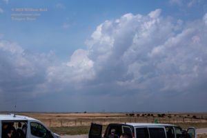
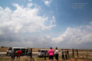

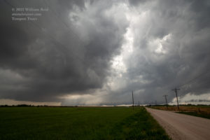
The pics below show the suspicious area to our west and southwest, northwest of Alva. It certainly would not have been surprising had a tornado formed with this, but one did not.
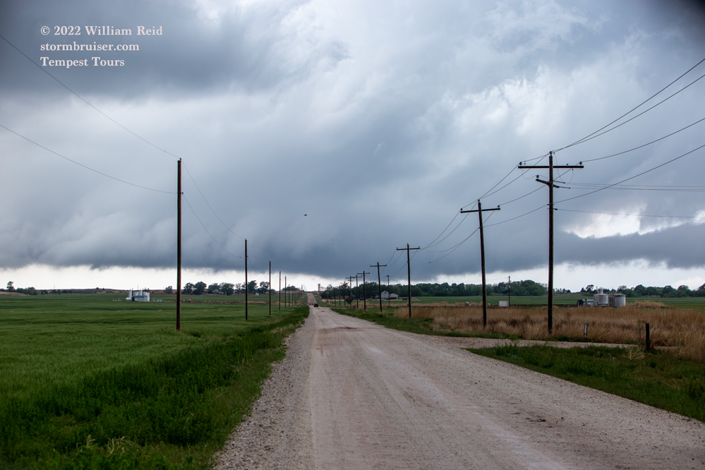
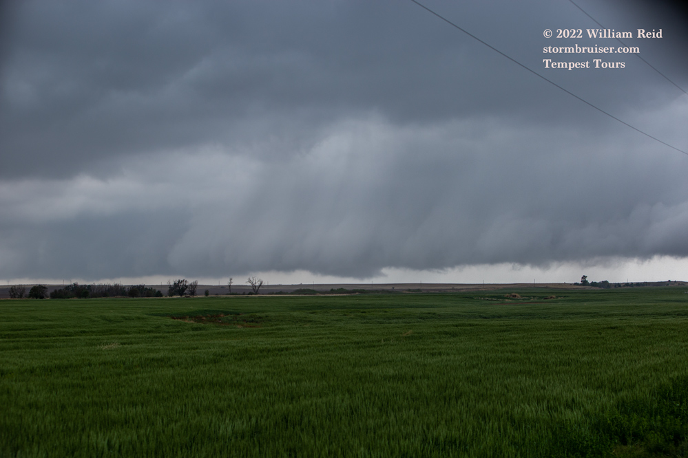
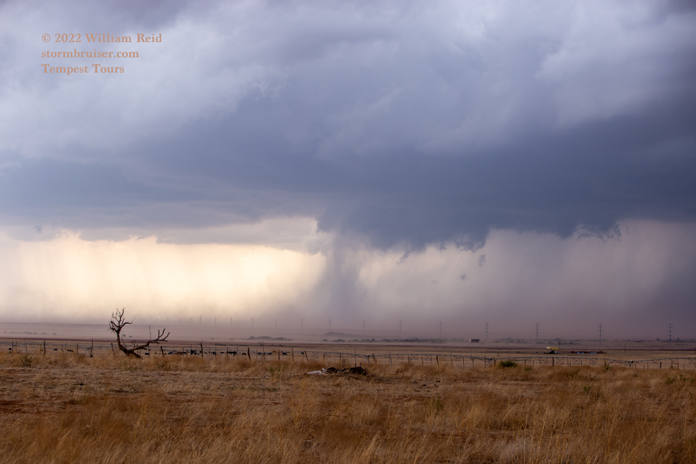
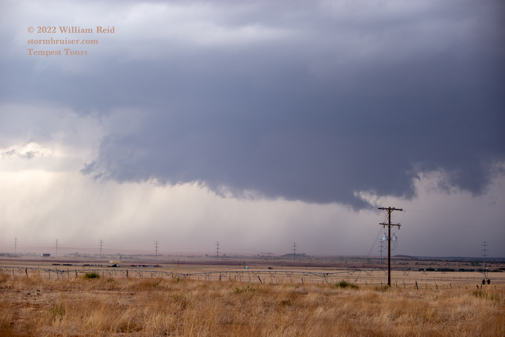
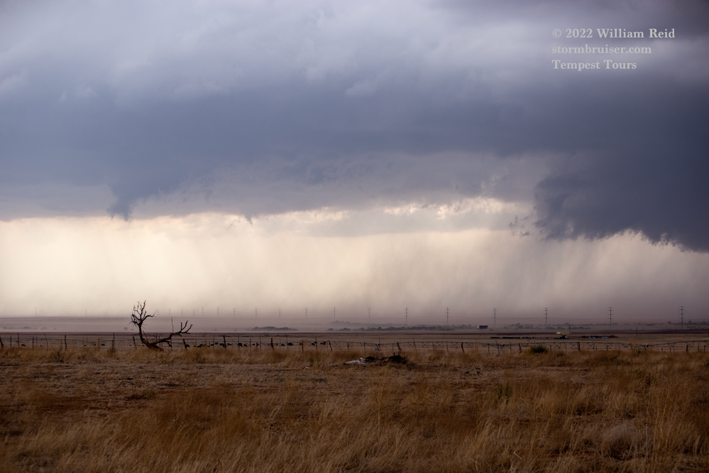
This particular area began to have cold-air undercutting issues. We needed to try to get south and southeast to a tail-end storm a couple of counties distant, but now there was an almost solid line of storms and rain between us and where we wanted and needed to be. The next 2 or 3 hours in the rain looked like this:
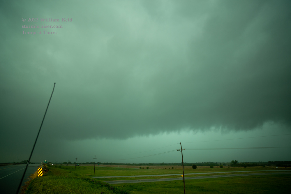

That second image might have been east of Enid a little. I gave up on trying to get in front of the activity or in position down south on a tail-end storm, as the activity was moving east too quickly and the driving in the rain made fun chasing impossible. The chase day had crashed to smithereens in about 77 minutes, and it wasn’t even 5 p.m. yet.
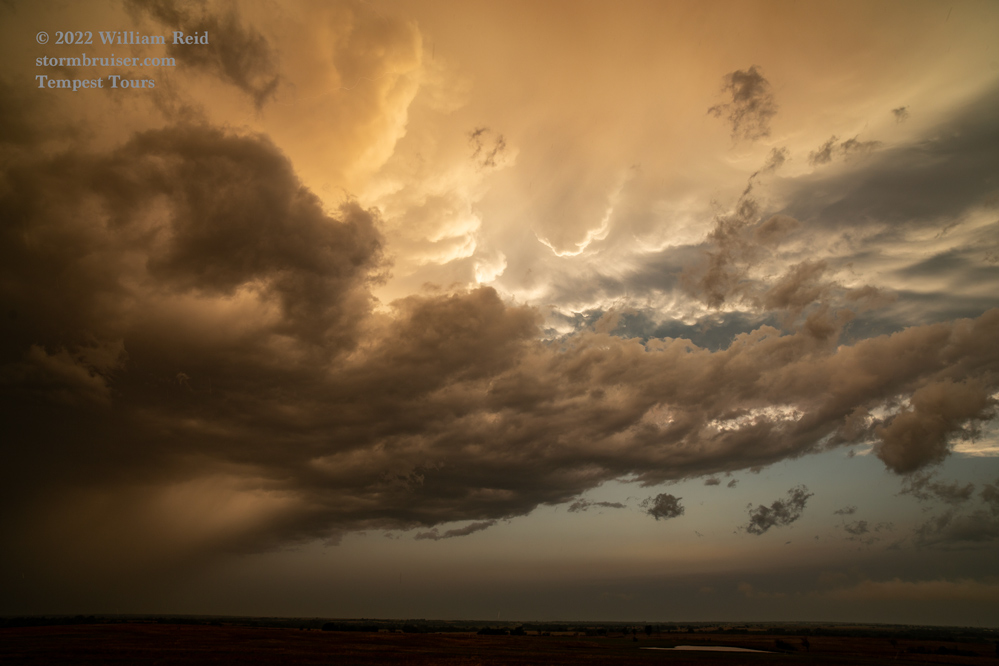
From Enid we drifted south and found a nice and lonely spot to shoot the lightning in the back end of the storm system. That was neat Sterling (northeast of Lawton, OK).


Leave a Reply
You must be logged in to post a comment.