
Start: Childress
Lunch: Galvan’s Mexican in Turkey, TX
End: Vernon, TX (415 miles)
Video of Crowell tornado by Chris Gullikson (with roof cam timelapse at the end)
———————–
Housekeeping Note: There are no Stormbruiser entries for May 5 through May 10, as this was a very slow chase period on the Plains, and we had a tour turn-around on the 8th/9th in OKC. The only chase of note was on May 7, around Comanche, Texas. An updraft or two had our attention for a little bit, but these were unable to get big and strong. We spent much of the afternoon trying to stay cool. Temperature was as high as 108F at Comanche (at 5 p.m.). Dew points were well into the 70s just east of Comanche…but surface convergence was just not strong enough and the cap was a little too strong on this day. Anyway, let’s get to the main event this week, the tornadic supercell from roughly Dickens to Crowell to Lockett, Texas on May 4th…
———————–
Another really nice upper-level trough was moving eastward through the southern Rockies, with 50-knot southwest flow above the dry line in Texas. Yes! Broad low pressure at the surface was along the TX/NM border with perhaps a weak low pressure lobe extending east from there through Lubbock. Surface winds were southeasterly in northwest Texas, so shear was not a problem at all this day for supercells and tornados. SPC showed a moderate risk area from about Lubbock to Lawton and east some more. There was a lot of morning and early afternoon cloudiness over the primary target area around northwest Texas and the eastern Panhandle region. But, enough sun was getting through to push CAPE values up to 4000 J/kg and higher on the Rolling Plains between about the edge of the Caprock (east of Lubbock) to Vernon and points south. Dew points in the mid-upper 60s on those SE winds were quite adequate to provide a good tornado risk with any discrete supercell. SPC showed a 15 percent hatched outline for tornadoes which covered the SE TX Panhandle, all of northwest TX, and pretty much all of southern OK (south of I-40). That is a large region to consider for a storm chaser.
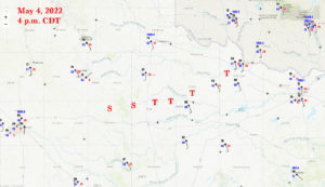
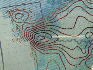
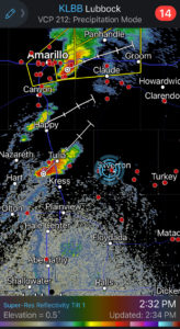
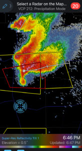
We began the day at Childress, in great shape with regard to the area of greatest severe weather and tornado risk. I elected to play the higher terrain along the dry line. I had no interest in trying a play in Oklahoma. We scooted west to Turkey for lunch, and then soon found ourselves near Silverton with some cumulus bubbling. The radar image below shows our position at 2:32 p.m., with a fairly healthy cell to our west. And look at those STP numbers for about that time, up to 8! How could any discrete storm move through that area and NOT produce a decent tornado?!
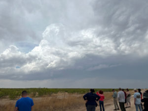
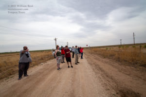
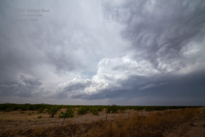
Well, that storm to our west was not able to. It approached us and weakened. Another updraft or two developed nearby and these remained scrawny and pathetic. It was still early, and early stuff is often junky…but I was a little concerned. There was a lot of cloudiness around that was not allowing the heating that we needed.
My target area here, near Silverton, was looking rather shaky. Satellite info showed a bit more sun and a new cumulus field to our south a couple of counties, east of Lubbock. That area looked just as reasonable with regard to severe-weather parameters. In fact, dew points a county or two east of this new cumulus field were quite a bit better than the dew points that our nearby junky stuff would be privy to in the near-and-not-so-near future. South we went.
That first image below looks like a leftover photo from the Silverton area. Then we have a look to the southwest at the growing cell that is approaching Dickens. We are heading south on 70, probably near the Motley/Dickens county line.
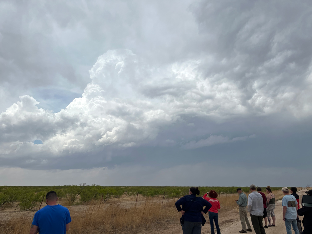
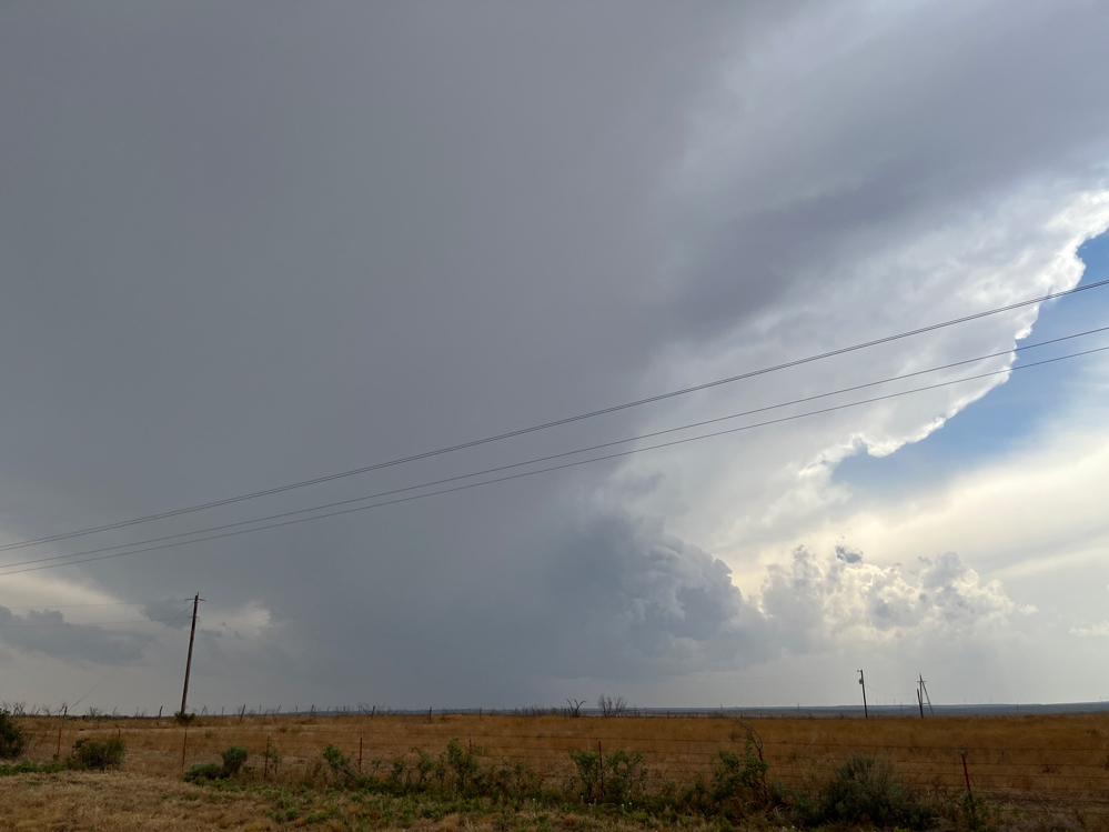
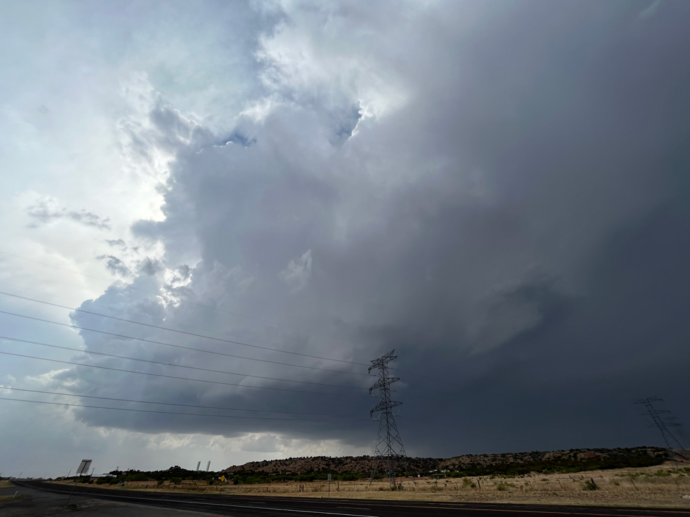


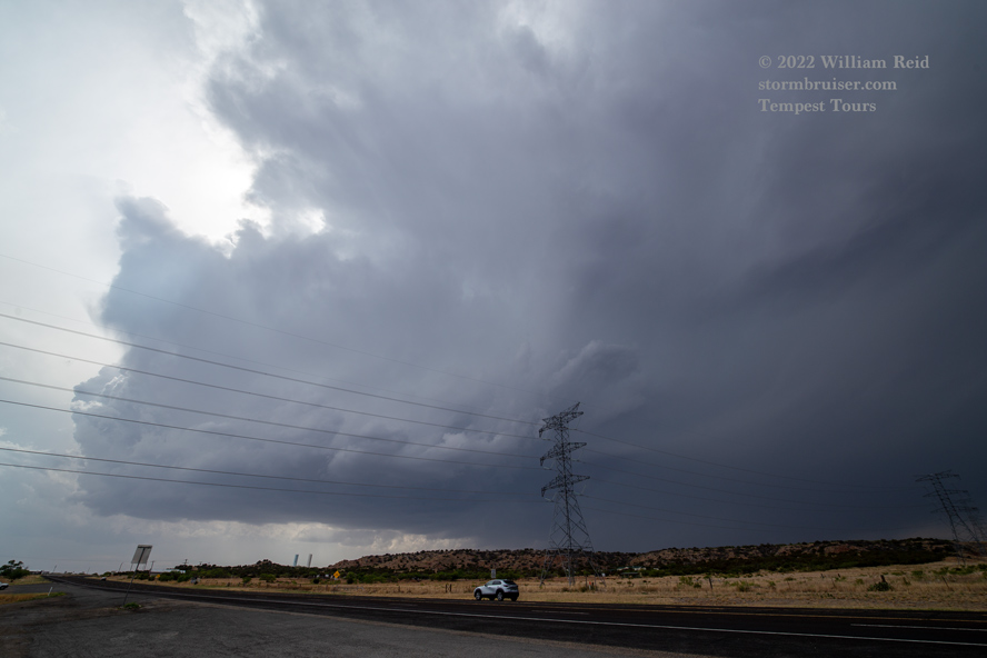
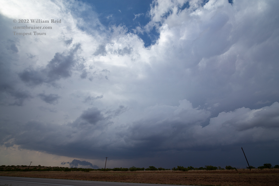

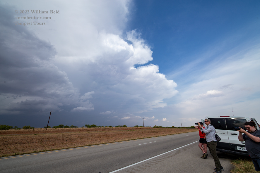
The remainder of the images above were taken in or near Dickens, along U.S. 82. The radar representation was already very impressive as the supercell moved north of Dickens and across 70. The storm base started out on the medium-high side, but soon wall clouds were forming and TVS markers were showing up on the radar. This storm was looking like a really good tornado candidate! But, there was a rather HUGE problem. The storm was tracking almost exactly between the only two decent E-W roads available: U.S. 82 from Dickens to Guthrie and U.S. 70/62 from Matador to Paducah. U.S. 82, south of the storm, was the one for us, obviously, but the storm was a good 10 miles or so north of us as it moved east of FM70 (north of Dickens). The best play was to get ahead of it. We did the 29 miles to Guthrie (after a pit stop in Dickens) and then went north another 10 or 12 miles on U.S. 83.
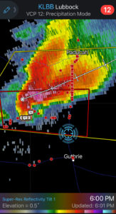
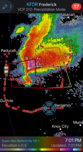
The two radar images below show that the storm was tornado-warned by 6:00 p.m. CDT. And, it shows that a lot of chasers found a reasonable road northwest of Guthrie to be close to the action area! A small tornado was first observed near Dumont (nw of Guthrie) at 5:55 p.m. CDT. We did not see it as we waited for the storm to near us, along U.S. 83.

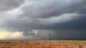
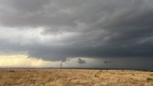
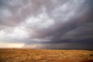
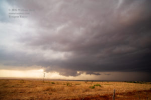
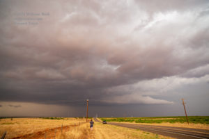
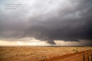
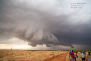
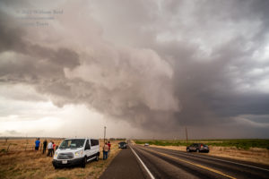
The images above are looks to the NNW and then north as the storm moved eastward. A rather beefy wall cloud had developed by the time it was to our north. The storm base was relatively rain-free, which is always appreciated! The paved road network was nil where this storm was headed. A good number of chasers tried their luck with an unpaved road which tracked along rather closely with the updraft base, in extreme northeast King County. But, I was not familiar with that road, and was not even considering an unpaved road close to this storm. As the base of the supercell crossed U.S. 83, with its nice and big lowering, we had to head back south to Guthrie the 10-12 miles in order to get east. UGH.
The first two radar images below (around 7 p.m. CDT) show the fabulous hook on the tornado-warned supercell as we are south and then southeast of the action area along U.S. 82 between Guthrie and Benjamin. We are just too far away from the action area to get a good look, and of course this was when the storm managed to produce a tornado or two. Or three. The first two photos below (after the radar images) are out of order. The fourth image shows a wide angle of the supercell, looking NNW, from U.S. 82 while driving. It took perhaps close to an hour, but we finally got back into position (east of the supercell) along Road FM 6 north of Benjamin and south of Crowell. (I think that the storm was moving east at about 25 mph.) We stopped south of the county line (and North Wichita River) by about a mile. This was a bit down into the more rolling river-canyon area. I walked up a little hill for a better view to the west, and had a good look at the storm updraft and structure (the other images below). The base and lower levels were still a little too far away and a little too dust-filled to get a good notion as to what might be going on. Were we missing a fabulous tornado show?
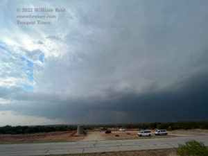
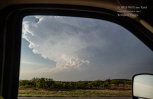
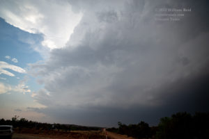

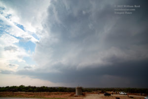


The last image above shows the clear slot (finally). At this stage, a tornado is not apparent. But, I knew that the storm continued to be an excellent tornado candidate, and I knew that I wanted to be closer when and if the next tornado occurred! We rounded everyone up and went north on 6 again.
The chaser zoo was in full force now as this tornadic supercell approached 6, near the North Wichita River. I was a little nervous about traveling along with the circus in the river bottomlands with this beast approaching.
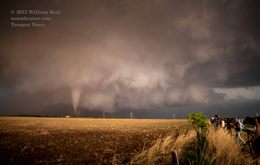
Fortunately, we were out of that little river canyon after about 3 miles, and we were in excellent shape on flat land (with very wide and flat road shoulders along Road 6). Dozens and dozens of other chasers had a similar idea. We stopped just short of FM 335, about seven miles SSW of Crowell. The wall cloud on this thing was massive, a clear slot looked to be wrapped around the lowering, and there was some dust shooting skyward!
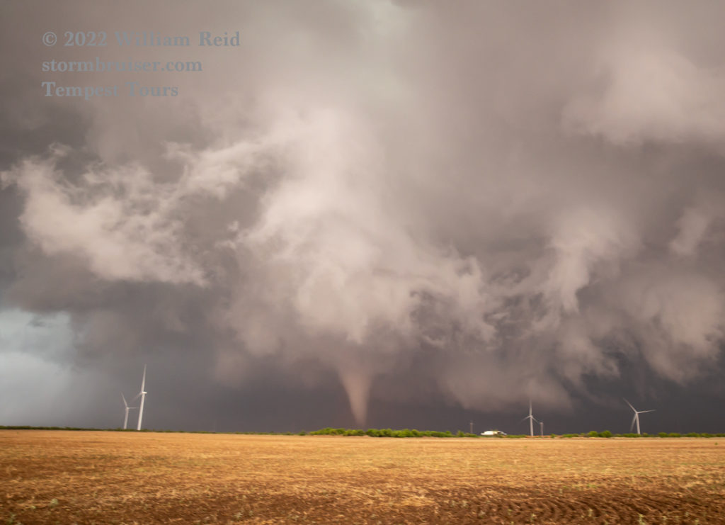
I got some stills with the 21mm wide angle lens for starters. A good-sized and persistent tornado formed soon after we stopped. The 12 wide-angle shots below were taken over a 3-4 minute timeframe, looking NNW to N. Road 6 heads in a NNE direction to Crowell here. The tornado was perhaps 2-3 miles distant.

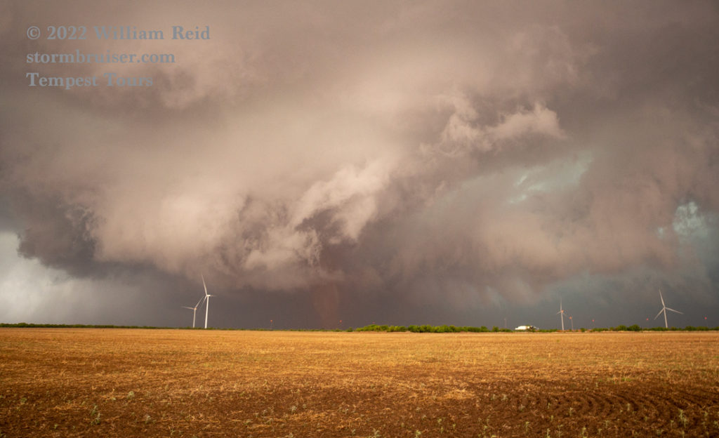
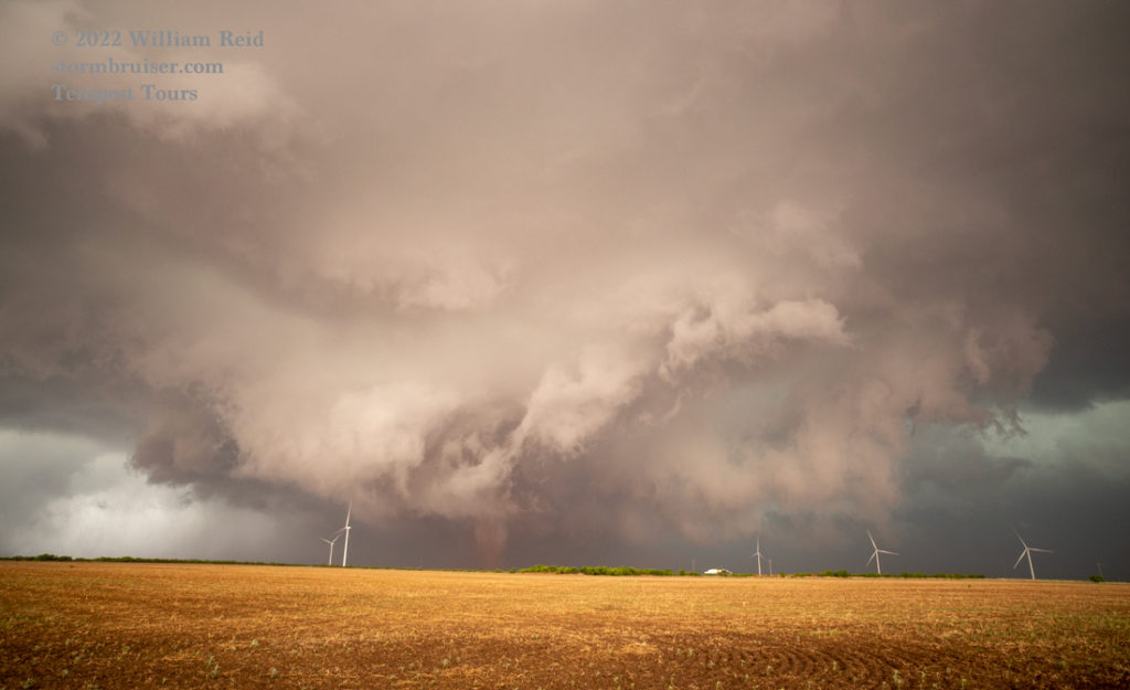
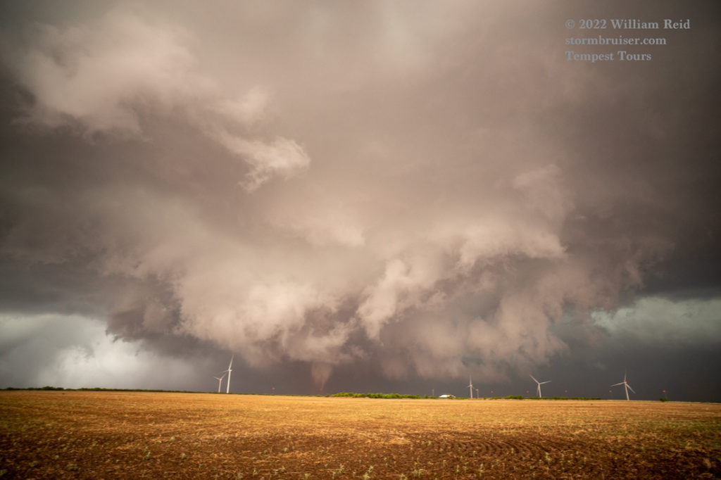
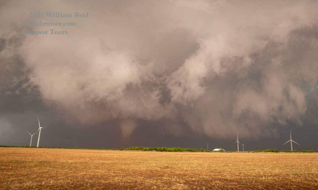
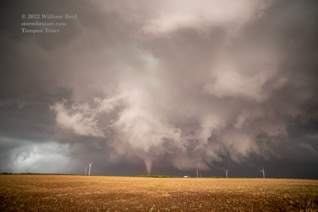




In the last few images above, dust with the RFD is close by.
The 11 images below were with the zoom lens (mostly near 70mm). The first four are back at that stop just south of the river as we waited for the storm to near, with the obvious clear slot alongside the action area (with no tornado apparent). The remaining seven images show the tornado (from our stop 3 miles north of the river) as it collects a lot of dust amidst the giant wind turbines.
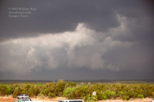
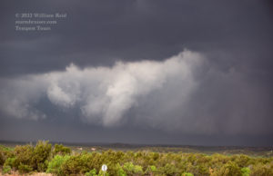
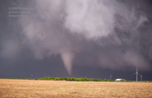
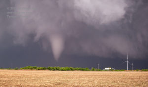
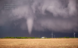
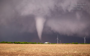
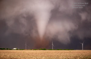
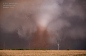
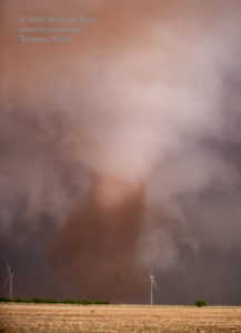
The tornado weakened or ended for the most part as it crossed 6. But, RFD dust and additional weak spin-ups persisted just to our northeast.
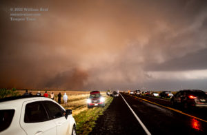

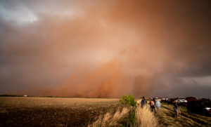

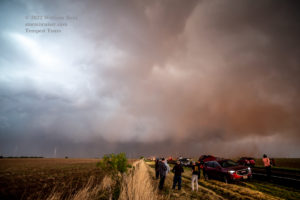
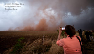


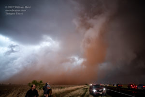

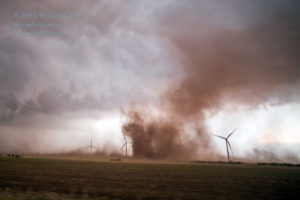
The dust and wind were not too bad for us here, I suppose! I was elated that, after missing a handful of tornadoes with the storm due to the sparse paved road network, we finally got one. And, it was a good one!
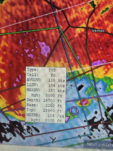

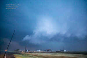

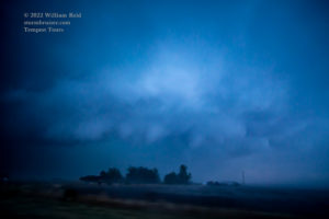
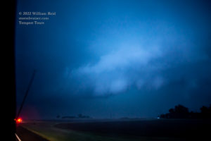
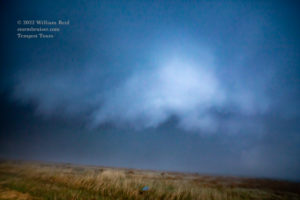

It was nearing sunset, and I wanted to stay close to the storm. Thus, there was going to be no more heading WAY south and WAY east and WAY north again to get in front of this storm! That would have taken another hour. We were not too far from Crowell, but the severe storm was south and southeast of Crowell. I figured that we might as well see what we could do with the remaining light. We made our way NNE to Crowell through some nasty conditions, but the hail wasn’t big enough to force us to turn around. We turned east at Crowell on U.S. 70, and by now it was quite dark. But, there was just enough light to see some structure in the low levels not too far to our ESE. See pics above.
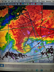
A tornado (that we did not observe) was reported four miles southeast of Thalia at about the time of the images above. By now, the storm had a very wet look, but that was probably because we were just northwest of the storm base and in rain! Near Thalia, the road goes more NE towards Lockett. The radar showed that the storm was turning more to the north as we continued a little beyond Thalia, and it was looking as powerful as it had all day with very high delta velocity values (see radar pics above). There was little to be gained by driving into a storm with a big tornado, so we turned around and went back to Crowell for a pit stop.
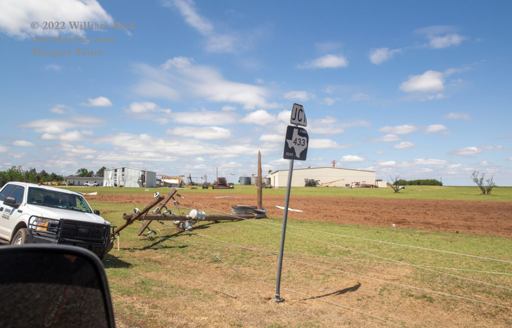
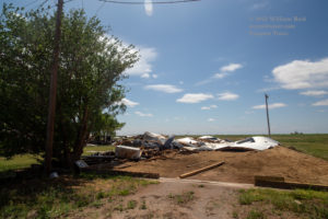
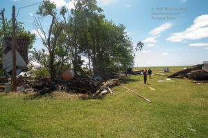
That failed as the convenience store was closed due to the storm. We headed back to Thalia and Lockett, and found tornado damage and utility poles down in Lockett. We made our way around the closed highway by using some unpaved roads, crossing the path of what was quite a vigorous and large tornado less than an hour earlier!
I was somewhat familiar with the roads around Lockett, as I had seen a tornado at the town just a year prior! We made it over to U.S. 183/283 and up to Vernon for the night. (By now the storm had weakened quite a bit and moved far enough to our east.) Charles Edwards and Cloud 9 were in Lockett when the tornado hit the town (the town’s second tornado in two years), and luckily the tour group just had a scare and some broken van windows.
The following day (May 5) was a down day, and we visited Lockett again to check out the new damage.





Leave a Reply
You must be logged in to post a comment.