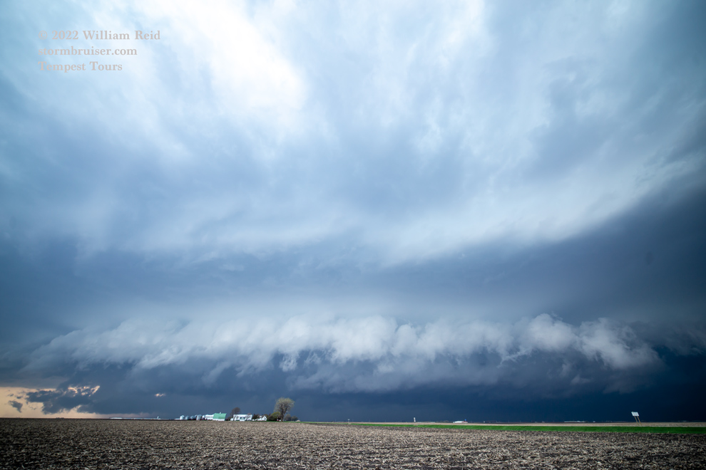
Start: Vermillion, SD
Lunch: Whimps Place in Burbank, SD
End: Worthington, MN (410 miles)

Van-top timelapse video of MN/IA portion of the chase by TT guide Chris Gullikson
I have done a pretty good job at forgetting this chase day. But now I must try to remember. A potent upper-air system was providing strong mid-level flow from the SW and SSW above a surface low and warm front in South Dakota and Minnesota. The E-W warm front was close to I-90 from Sioux Falls and eastward into MN. SPC mentioned the chance of a strong tornado, with a 10% tornado outline centered in extreme southwestern MN. Impressive low-level moisture with dews of 70-72F was pooling in the vicinity of Sioux Falls. The SE to E winds along the warm front, combined with the good instability and very nice and moist boundary layer air looked great on paper. And screen.
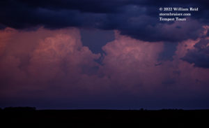
We had lunch near Vermillion and then drifted north some. This chase day had big problems from the get-go. An “MCV” was moving quickly NNE-ward from eastern Nebraska and into eastern SD during midday. This was terribly ill-timed and detrimental. Plenty of cloudiness spread over the target area of southeastern SD. Storms did develop as expected in advance of this MCV, if I recall correctly, and we came up to one with some decent low-level structure near Menno, SD.
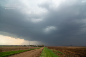
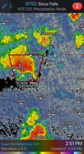
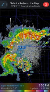
The image matches pretty closely with the radar image time-wise. Note the other storm approaching Yankton to our south, which was probably associated with the MCV. We had some backed winds here, and this is where surface moisture convergence looked best, and the storm was tornado-warned…but it never appeared to try that hard to tornado. The farther north it moved, the wetter and cooler and uglier it became. The day was still really early, so we blew off this one, got on I-90, and made our way east quickly. The plan was to be close to the warm front as additional storms passed by. And, I wanted to be a bit farther removed from that MCV if possible. That thing was just a big cold and outflow-ish windbag.
We came up on some strong-to-severe storms in the vicinity of Worthington, and apparently made it in front of a cell just in time. It blew some wires and/or poles onto I-90 and caused an accident. This activity did not appear particularly well organized. Storms would come up to the front and then continue into the cool NE winds on the north side of the front. As it turned out, this is where today’s tornadoes were, but this was in the cool murk where chase conditions and visibility were poor.
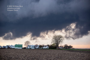
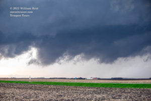
I elected to drift south into Iowa some, where it was much warmer with dews near 70F. We played with a squally thing which showed some kinks, where some rotation was noted. Dust was kicked up in spots, but nothing strong enough to be called a tornado was observed. The images below were generally from about Jackson to the Estherville, IA area and south a bit.
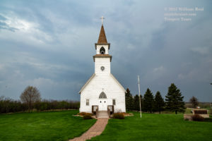

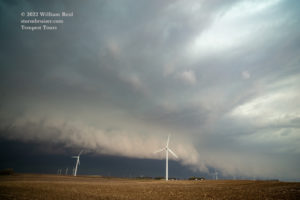

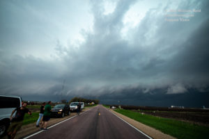
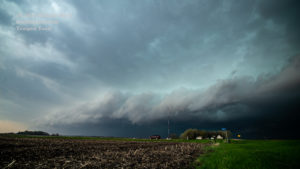
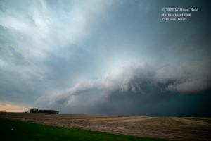

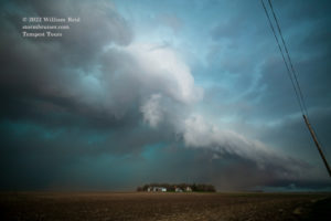
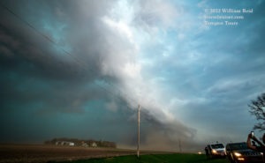
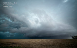
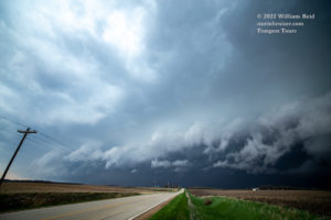
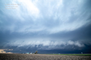

This linear activity was pretty, but was undercut and not tornadic.
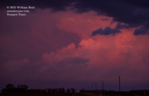
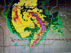
Somewhere near Spencer we had a decent sunset. The first two radar images below were around 4 p.m., while we were heading east through the Sioux Falls area. What a mess! There just was too much forcing this day, too many storms, too messy, and what tornadoes there were were not associated with nice discrete storm cells. And did I mention that the storms were moving fairly quickly?



Leave a Reply
You must be logged in to post a comment.