Stormbruiser.com

William T. Reid

  • About
  • Video Links
  • Climate
  • Categories
    • Astronomy
    • Aurora/Northern Lights
    • Artsy
    • Airports (LAX and VNY)
    • Animal Day
    • Beach
    • BEST and MOST POPULAR
    • Chase Season Summary
    • Chasers and friends
    • Cumulonimbus
    • Death Valley
    • Desert
    • Desert/Mountains
    • Elevated photography
    • Eyesores
    • Fire
    • Flooding
    • Hurricane
    • Landscapes
    • Lightning
    • Local: Conejo Valley/San Fernando Valley
    • Mid and High Clouds
    • Nighttime photography
    • Old Stuff
    • Rainbows/Optical Phenomena
    • San Nicolas Island
    • Storm Video Sales
    • Stormy Skies
    • Stupid Bugs
    • Sunsets and Storms
    • Supercells
    • The City
    • Tornadoes
    • Unusual Clouds
    • Vegetation
    • Wind and Dust
    • Winter Weather
  • Contact
You are here: Home / 2022 / May 15, 2022 Okemah, OK Supercell

May 15, 2022 Okemah, OK Supercell

May 15, 2022 By William Reid Leave a Comment

Start: Woodward, OK

Lunch: Fast food in Enid

End: Shawnee (350 miles)

Storm Reports

SPC Day One/20Z

SPC-Mesoscale-Discussion-772
SPC-Mesoscale-Discussion-776
SPC-Mesoscale-Discussion-778
SPC-Mesoscale-Discussion-779
Surface plot for 4 p.m. CDT

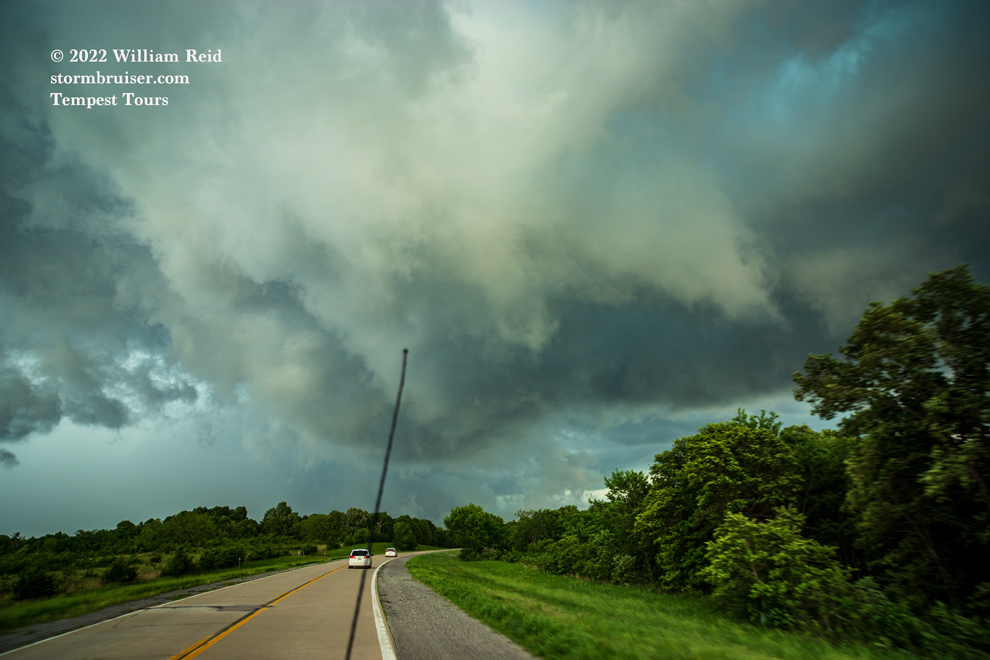
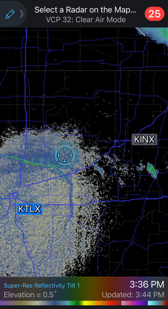
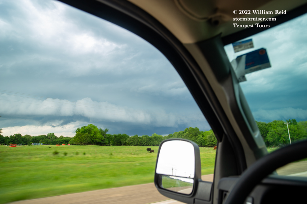
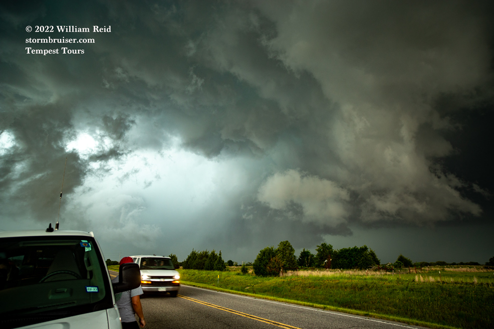
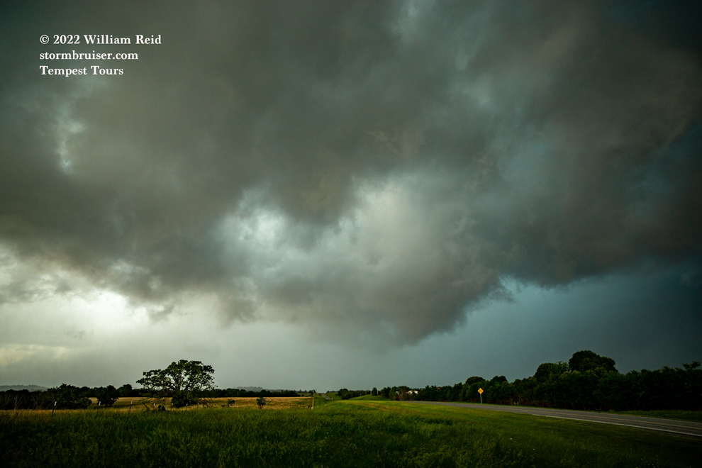
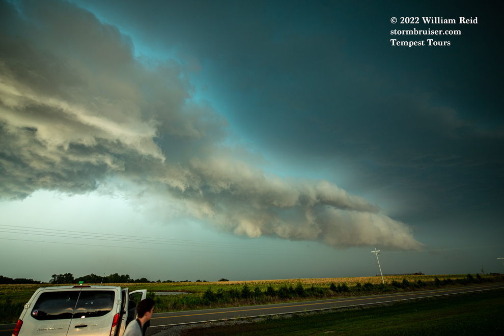
There was little consternation with regard to where we needed to be this chase day. After lunch in Enid, we continued to the E and SE into the trees east of I-35, and watched storm towers grow in the sunshine about halfway between Oklahoma City and Tulsa. 500 flow was northwest at about 40 knots, and this activity pulled us from about Stroud to north of Okemah. Instability was very good, with up to 4000 J/kg CAPE. As the western-most storm intensified, it turned southward near Okemah.

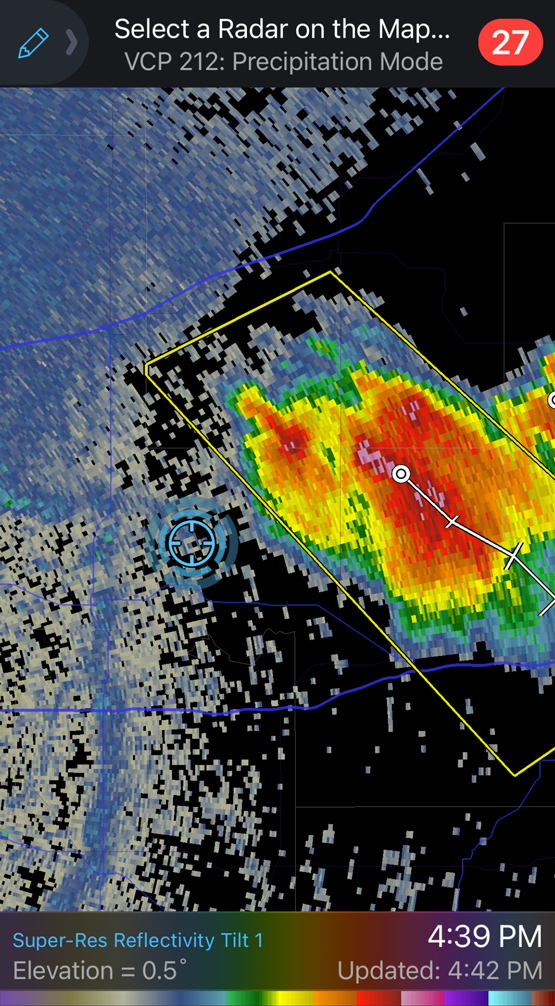
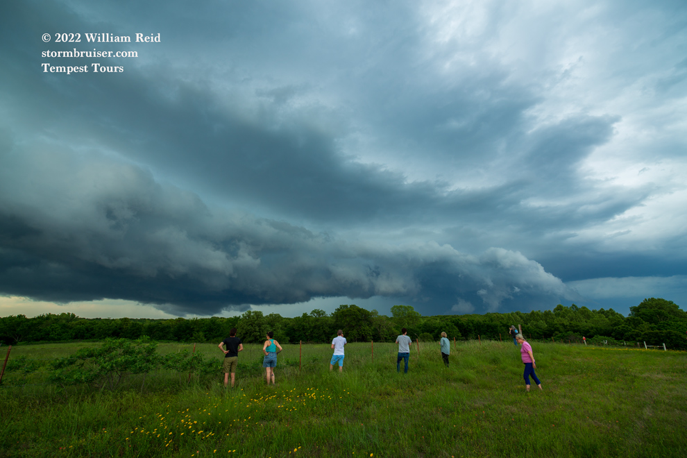
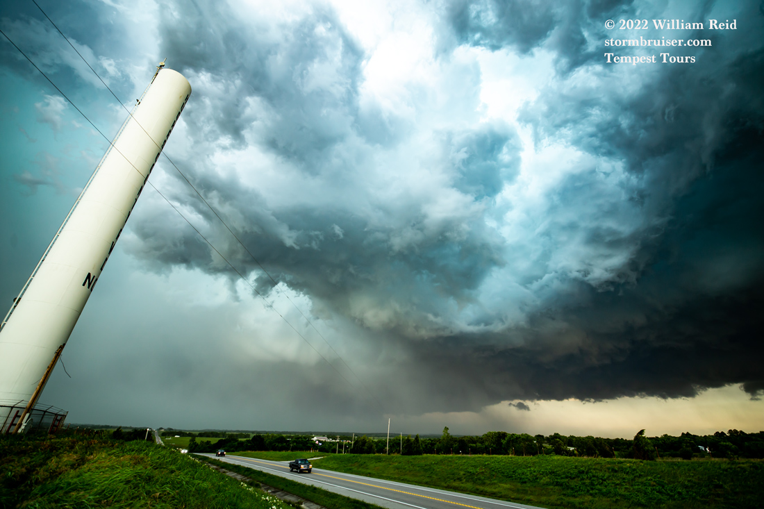
We got right in front of it near Okemah, and Highway 27 southbound was just about perfect to keep tabs on the action area just to the north. This beast caused giant hail near Okemah (near 4.25 inches), prolific CG lightning, and plenty of excitement for chasers right in front of it to Wetumka and Horntown.

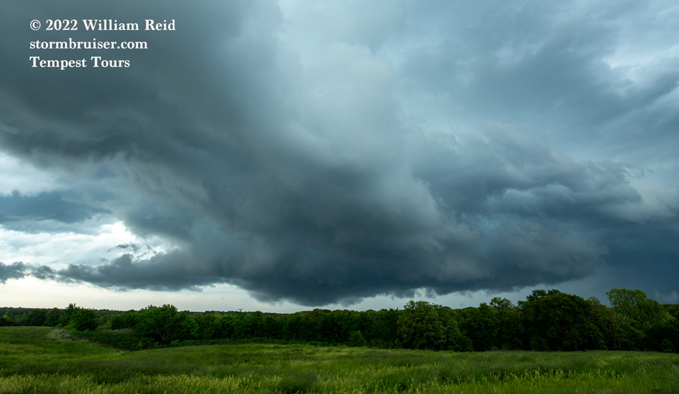
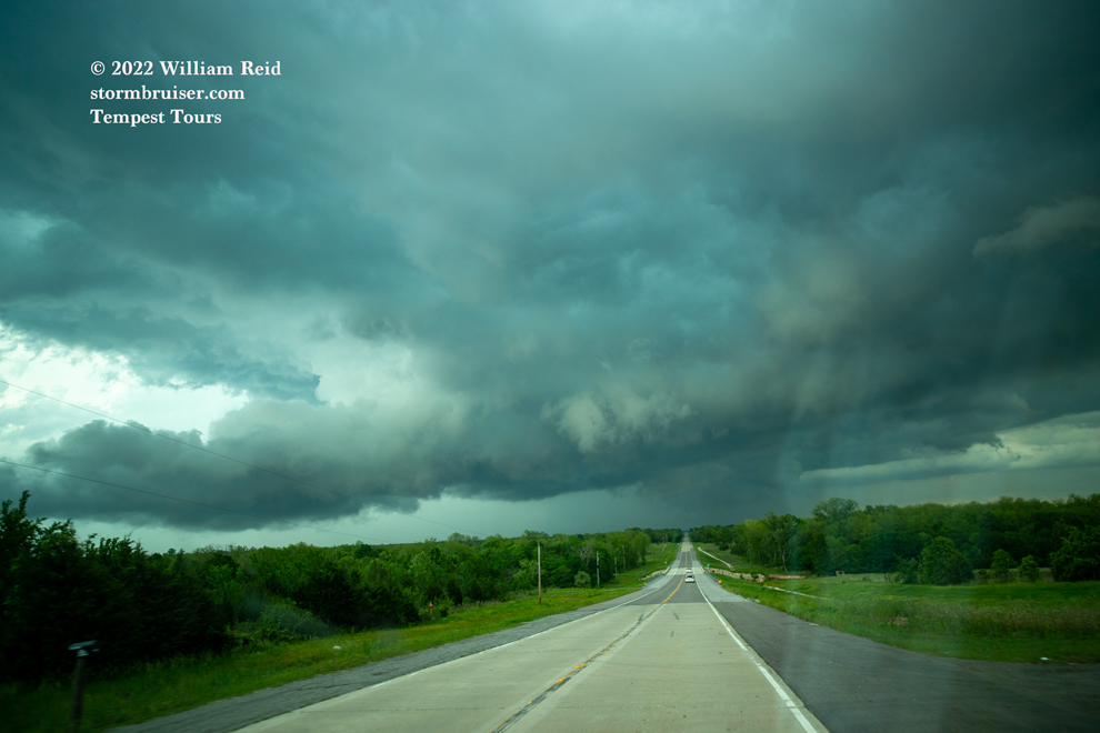
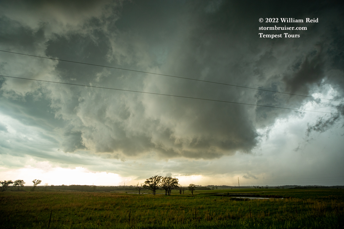
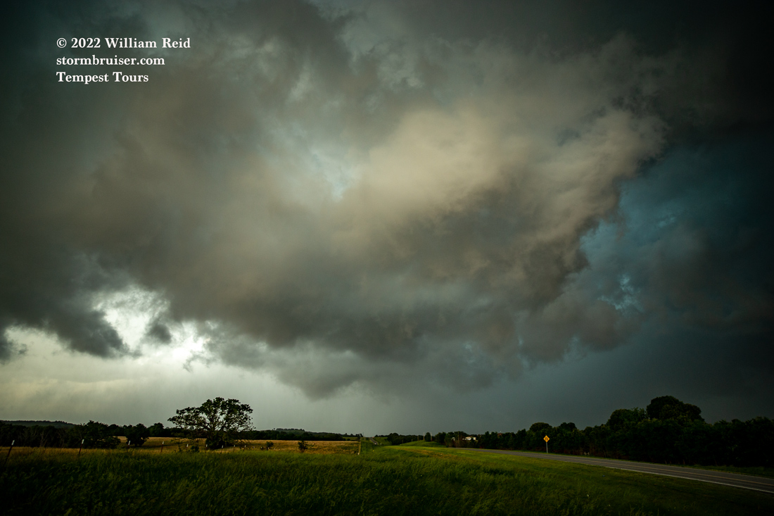
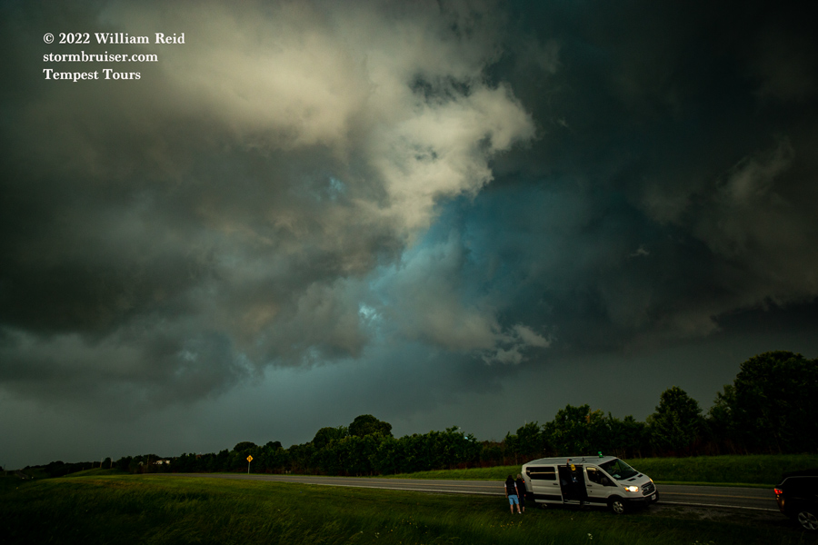
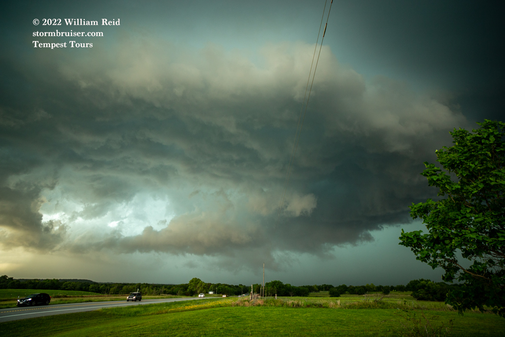
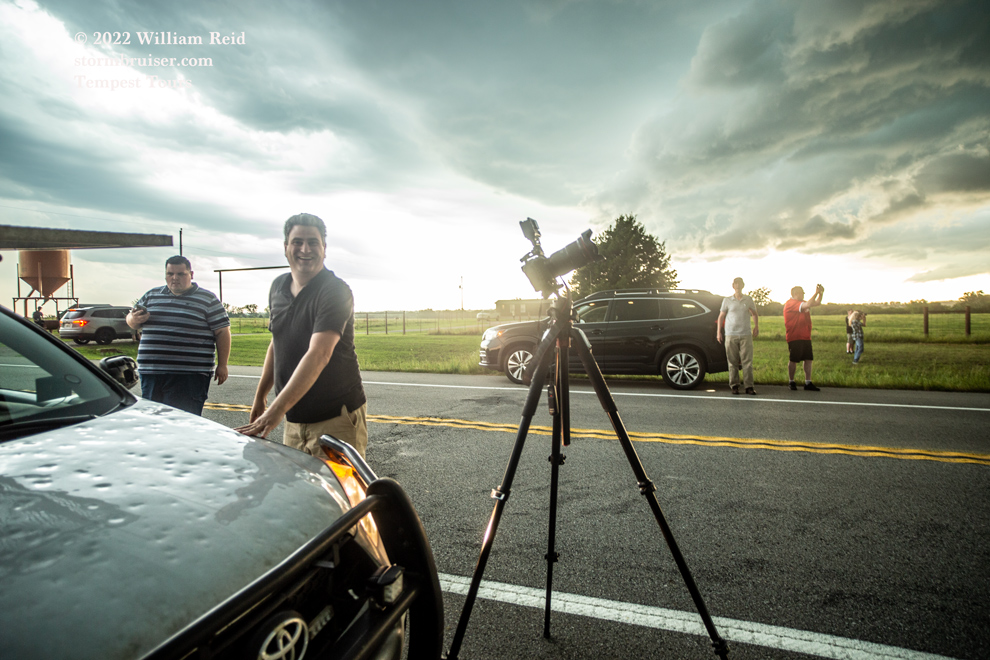
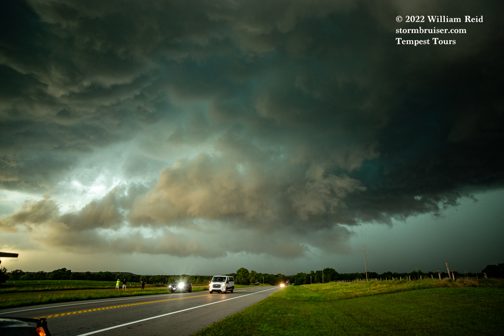
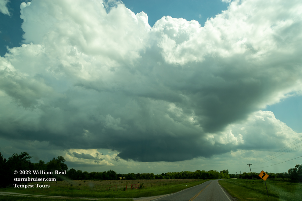
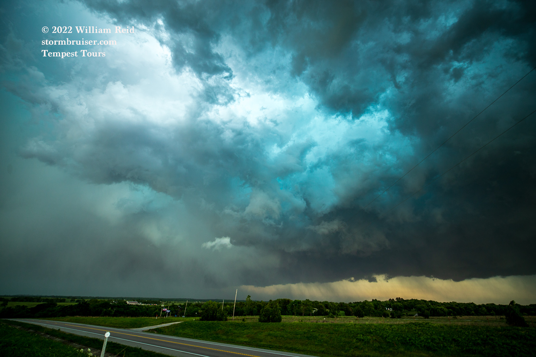
A lowering or two threatened to turn tornadic, but we did not observe a tornado. The storm turned rather ugly and HP, and I let it go at Horntown. We scooted a little to the west to watch it move off to our southeast.

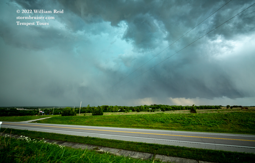
This beast continued south through the trees to the Red River. Our group waved goodbye near Holdenville. I took a break from the tour for the next several days!

Filed Under: 2022, Chasers and friends, Cumulonimbus, Sunsets and Storms, Supercells

Leave a Reply

You must be logged in to post a comment.

Search

May 2022
S M T W T F S
1234567
891011121314
15161718192021
22232425262728
293031  
« Apr   Jun »

Categories

Archives

Copyright © 2025 stormbruiser.com ยท Log in