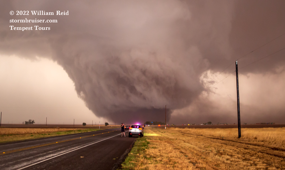
Start: Turkey, TX
Lunch: Subway in Dimmitt
End: Lubbock, TX (345 miles)
NWS Lubbock Tornado Survey and Analysis
Storm Reports SPC Day One Outlook/20Z SPC Day One/13Z by Edwards
Youtube video of the meteorological environment for this event by Trey Greenwood (Convective Chronicles)
IMPORTANT NOTE regarding the videos included below: These videos are large files which may be slow to load fully. The videos might not play properly right away, so please give them a minute or two to load.
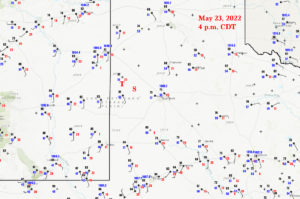
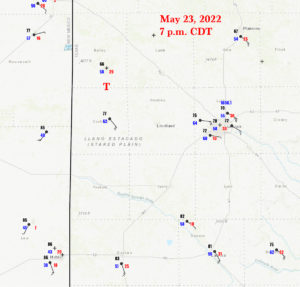
Our Tempest Tours group set up for the May 23 chase on the previous day, with a stop for the night in Turkey. All we had to do was drive a couple of hours west and an hour or so south. The setup for severe weather in the far western Texas Panhandle was not too shabby, primarily south of about Muleshoe. The upper flow was from the WSW at about 30 knots, and the surface flow was very nicely backed in the vicinity of Lubbock. There looked to be a tongue of higher (mid 60s) dew points moving northwestward around Lamesa. This lobe of nicer moisture was headed towards the TX/NM border near Morton. By mid-afternoon it appeared fairly obvious that the severe-weather parameters would be maximized around Cochran County, where Morton is located. CAPE values were above 2000 J/kg, afternoon sunshine was abundant. Tornado risk was pegged at only 2% by SPC, and I wasn’t really thinking that we had a good tornado chance. For the large slight risk area as a whole, instability and low-level moisture were just so-so for a Panhandle day in May. But there WAS that narrow moisture lobe…
The YouTube video linked above is a good analysis of the event by Trey Greenwood. It includes great radar loops and the typical weather maps that I am looking at during a chase day.
This wound up being a really fun and satisfying storm intercept. There are typically one or two issues on a “big” chase day which work against a chaser, making life a bit frustrating. The road network might be terrible, the storm may move too quickly, the action area may wrap in rain and hide the stuff that we want to see, there might be two or more storms to choose from, etc. Today we had a slow-moving supercell in a very good road network, but inflow winds started to get so strong and pick up so much dust that just seeing the storm structure was very problematic for chasers east and southeast of the supercell! So, you will see how this dust issue affected us.
And one other thing…or maybe two…I was shooting 99 percent stills this day, and nearly all of those were with the 15mm (wide-angle) lens. I shot a lot of stills, and since we had a good look at the storm in and around tornado time, this entry has a lot more images than normal. I suppose that too many pictures is better than too few, and I hope you enjoy seeing how this supercell evolved. Also included are a bunch of video clips by Tempest guest Jon Darrow. I think you will enjoy those!
I was thinking that maybe it should be called the “Enochs” Tornado, since it was a little closer to that town than to Morton. But Morton is a lot larger, and I think most chasers refer to this one as the “Morton Tornado.” Did you know that Enoch was the father of Methuselah? What I want to know is just how many Enochs does the town name refer to?
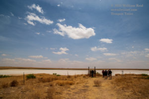
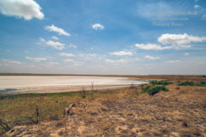
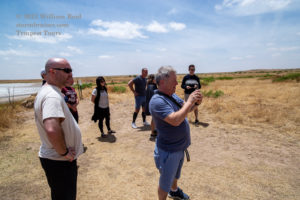
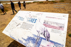
After lunch in Dimmitt, we drifted south to the Muleshoe National Wildlife Refuge. I don’t recall seeing much wildlife. The soils here were dreadfully dry. (And 5 to 7 inches of rain would occur here before midnight!) Some flat stratocumulus dotted the blue skies. The best moisture convergence, albeit weak, was close to the NM/TX border west of Lubbock. By about 4 p.m. we had some convective storm towers developing in Roosevelt County, NM, to the W and WNW of Morton, TX. We stopped about 7 miles south of Causey, NM, along Road 114, to watch this pre-game show.
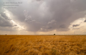
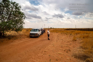
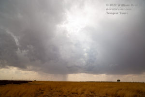
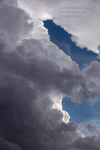
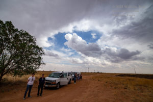
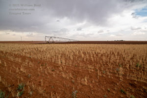
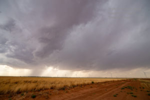
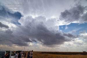
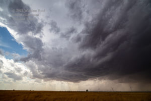
There were a few rather healthy updrafts. One to our northwest was trying to organize a little. We headed north to Causey, and then east on 321 (in NM) and 54 (in TX) and stayed just ahead of this one and the other cells. They were moving to the northeast, and it seemed that storms were content to remain mediocre. In other words, the development was a bit messy, still high-based, and it was not entirely clear as to where a storm chaser should be. A different storm got strong up north a county or two, but that area was definitely not as favorable, seemingly, with regard to instability and shear and low-level moisture. Tempest guest Jon Darrow videoed a little horizontal funnel coming out of the back end of one updraft.
I think we stopped on FM54 west of Maple, TX, and a storm core was approaching from the south or south-southwest.
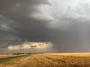
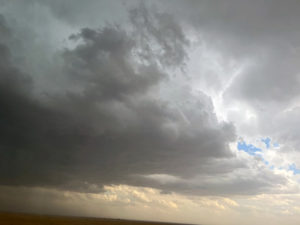
It was about 6:15 p.m. CDT (the Mountain Time Zone was very close, just to our west in NM!), and I thought it would be a good idea to get ourselves east a little along FM54 to avoid a core and to keep options open. A cell that was approaching FM54 (NW of Morton and W of Enochs) was not organized yet, and we were on the wrong side of it.
Note: If you go to minute 16 of Trey’s analysis on YouTube, you will see a nice zoomed-in radar loop for the event. The little town of Enochs is not shown, but it is north of Morton and east of Causey at 214 and 54.
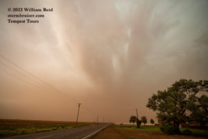
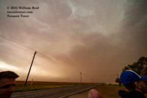
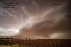
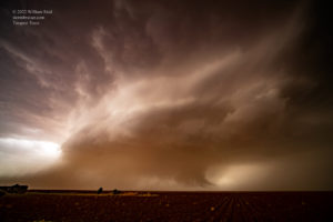
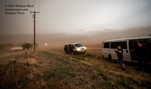
I led the group east on FM54 and stopped four miles east of Enochs at about 6:25 p.m. CDT. The images below, looking W to WSW down FM54, were taken at 6:27 p.m. and 6:33 p.m., respectively. (You can assume that all times are CDT. The photo times are based on my camera clock, which is probably correct to within a minute or two.) From the first image, it is obvious that a lot of dust and dirt are obscuring the view at low levels! The “core” of this storm is perhaps 7-10 miles distant to the WSW in the first image. If there is anything occurring in or near the core, then we aren’t going to see it from here. A low-to-mid-level inflow band is nearly overhead. In the next photo, the storm has organized, seemingly. A plume of dust to our south and southwest is being carried towards the obscured storm base to our WSW. I don’t recall much lightning with the cell while at this location. What I DO recall thinking is that it was good that we were on the east side of the storm, where winds were fairly light. If we had been (in the more-typical chaser position) southeast of the cell, then we would have been mired in the strong and very dusty inflow winds. I was also thinking that maybe it would be a good idea to stay close to the rainy parts of the storm, as that would help to keep the dust down.
The video below is by Tempest guest Jon Darrow from this location four miles east of Enochs at 6:28 p.m. CDT. The road is FM 54 and the view is generally to the west.
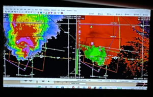
The time was about 6:35 p.m. We were in good position on this developing supercell to our WSW, and all of the decisions made by the tour director now are critical! Here is the 6:33 p.m. CDT radar information that I was looking at at this time. A TVS marker had just appeared, NW of Morton.
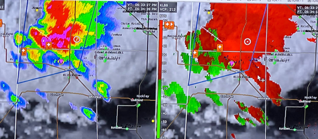
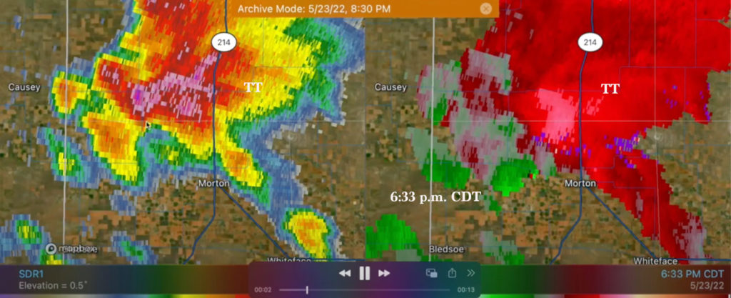
Our location is the white circle on the top example and the “TT” in white on the bottom one, NNE of Morton, near the southeastern corner of Bailey County. Prior to this radar depiction, the cell to the NW of Morton had been unimpressive on radar. Now, a smaller storm to its southwest was running into the backside, or merging, with the larger core. This gave the “look” of a supercell on radar to some extent. But the “look” may have been a bit circumstantial due to that merging core. Regardless, the precipitation core to our W and WSW was increasing in size and intensity, and it looked like large hail might be in our immediate future if we stayed here. I figured that moving somewhere else, out of the way, was a good idea. Visually, the storm was saying “come to me.” That would mean heading west the four miles to Enochs and then dropping south on 214. But the radar was saying “do you really want to risk getting pummeled by giant hail by going west?” Those purple returns were right above Enochs. I looked at the map. I would have liked a road due south from here, and there were dirt roads to consider. But if those suddenly got wet, then it was curtains for the rest of the chase day. I don’t want to be on dirt roads right in front of an intensifying supercell unless I am certain that I have an easy and safe and dry path to pavement.
Besides the west option (which involved flirting with the hail core), the only other viable paved option was to continue east on FM54. This road jogged north three miles first, and then it was seven miles east to the next paved road south (to Pep). A move in that direction would be very safe, but we would be quite far from the storm for quite a while. We might not even be able to see it because of the dust! That option seemed poor, so I elected to head west to Enochs. The time was about 6:38 p.m.
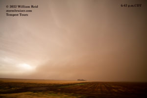
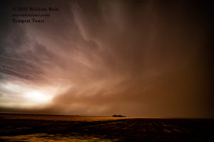
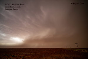
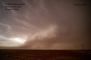
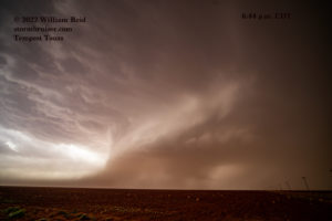
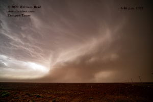
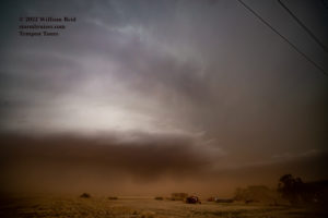
We made it to Enochs unscathed. I think there was rain and maybe small hail, but no problem! We now had a really good look at the developing supercell to our WSW as we cruised southbound on FM214. The first two images in the group above are the exact same pictures, taken at 6:42 p.m., looking SW to WSW, along 214 and about halfway between E-W section roads 1320 and 1330 in Bailey County (2 1/2 miles south of Enochs). The first image is largely unedited in Photoshop, and it is closer to what the storm looked like visually to us at the time. The second image is enhanced significantly and to an unrealistic level, as I boosted the contrast and clarity and other cheating sliders in Photoshop in order to bring out the storm structure. The color is pretty close to reality, as the dust was quite bad and was giving the storm a very brownish hue. In most of the photos below, I edited the image at least a little in order to bring out the storm structure and storm features. And, I tried not to go overboard on the enhancement, as I did in the second image above. The main message is that the storm images here are a bit more impressive than reality.
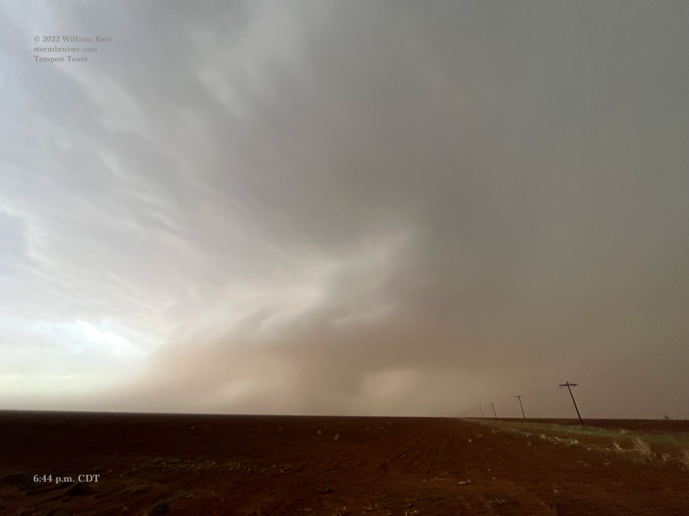
The last four images of the six above were taken from 6:43 p.m. to 6:46 p.m. from County Road 1330 and 214 (another one-half mile south and three miles south of Enochs). This is one-half mile north of the Bailey/Cochran county line. The storm structure was now quite good. The low-level inflow was marked by the dust plume in the lower left part of the images. By 6:44 p.m., a fairly beefy wall cloud was visible, and this action area was slowly approaching. These images are with the wide-angle 15mm lens, so the dust-filled storm base is closer to our location than it might appear from these photos. Below are two video clips by Jon Darrow from this location from about 6:45 p.m. to 6:49 p.m.
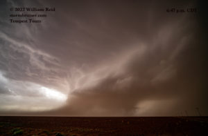
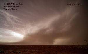
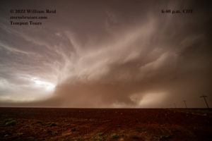
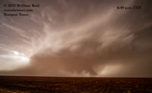
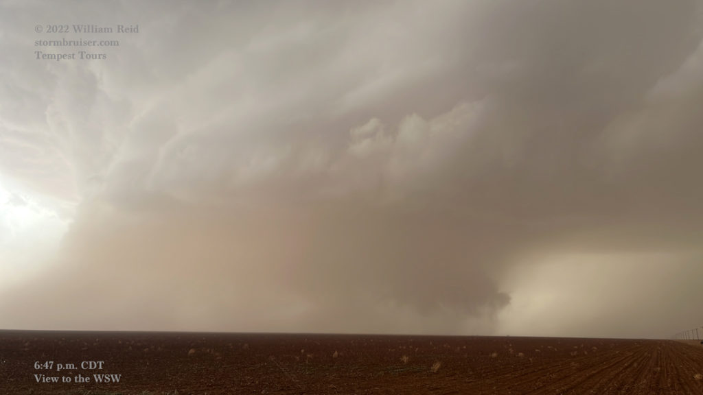
The first three images above were from 6:47 to 6:48 p.m. and were from that same location at CR1330 and FM214. A conveyor belt of dust continued to stream into the storm base, now only a couple of miles away to our southwest. There are strong hints of a significant lowering or funnel cloud on the right/north end of the wall cloud. This storm was ramping up quickly, the inflow was strong, the storm base was very low. What was in store for us?!
The final three images above were from 6:49 p.m. to 6:50 p.m. CDT. It looks like we were headed south again for the 6:49 p.m. image, and then we had stopped for the other two at 6:50 p.m. This was just short of the Bailey/Cochran County line, which is pretty much where that dilapidated structure is (on the left side of the images). That last image above is enhanced a lot to show more storm structure. The 6:49 p.m. image again reveals a very suspicious lowering; perhaps a good-sized funnel cloud that was teasing the ground at the time. Someone made a tornado report near this spot at 6:52 p.m. (“a brief touchdown in an open field.”)
Our stop near the county line was impacted by a large tornado less than 20 minutes later. The dilapidated structure in the (6:51 p.m.) photo below, which shows FM214 headed southbound…
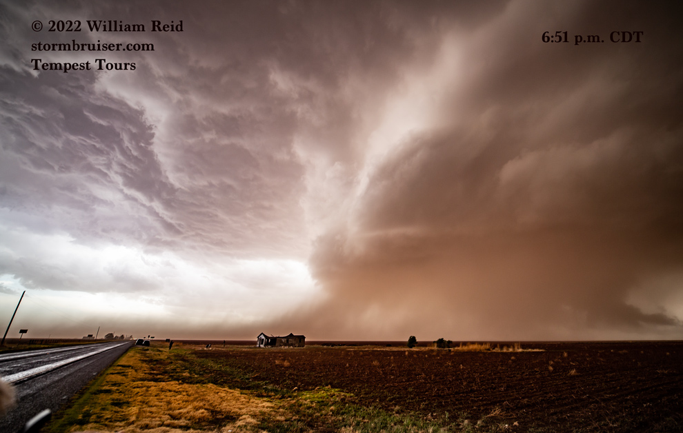
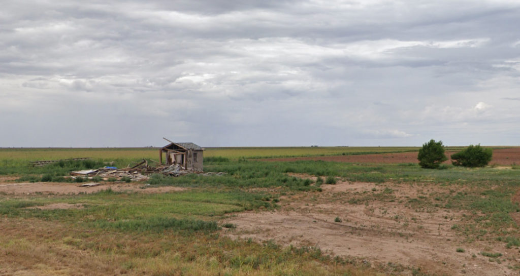
…was partially swept away by the tornado, presumably, based on the Google Streets image from August, 2022. The two images below from Google Streets show just part of the structure still standing, and a bunch of nearby trees which were roughed up by tornadic winds.
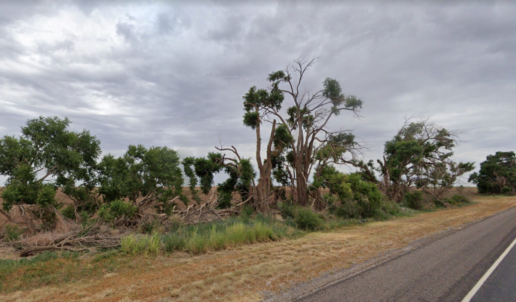
It seemed prudent to get a little farther south as this active storm base approached! The two images below were at 6:52 and 6:53 p.m. CDT, probably still pretty close to the county line. The view is to the SW and WSW, and again these are 15mm wide-angle shots. That storm base and large wall cloud were VERY close. It does not look like a tornado is occurring at these times, though again there is a shallow funnel-like feature lurking.
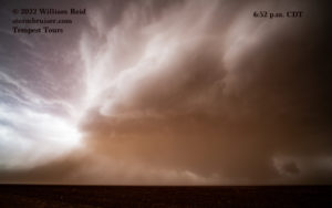
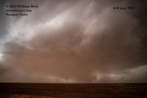
In case there was any doubt, the radar was now showing a very organized supercell, with a prominent hook echo. We were in the notch, a good spot to watch any tornado formation but a bad place otherwise! There was just a little wind and rain during this stop, near the county line. The first three radar images below are from the same time (6:53 p.m.), with varying degrees of zoom.
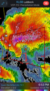
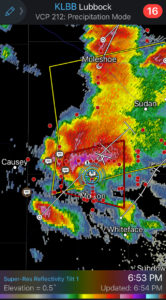
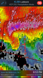
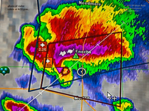
Radar images from 6:53 p.m. CDT, showing our location in the circle along 214 north of Morton.
We continued south some to get out of the way. In Jon’s video below (6:56 p.m.), the action area looks to be just to our west when we pass a ranch house (along 214 and one-half mile north of county road 34). We pass through some squally bands just before stopping here. The rain is probably associated with the hook echo and developing tornado cyclone.
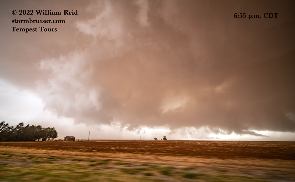
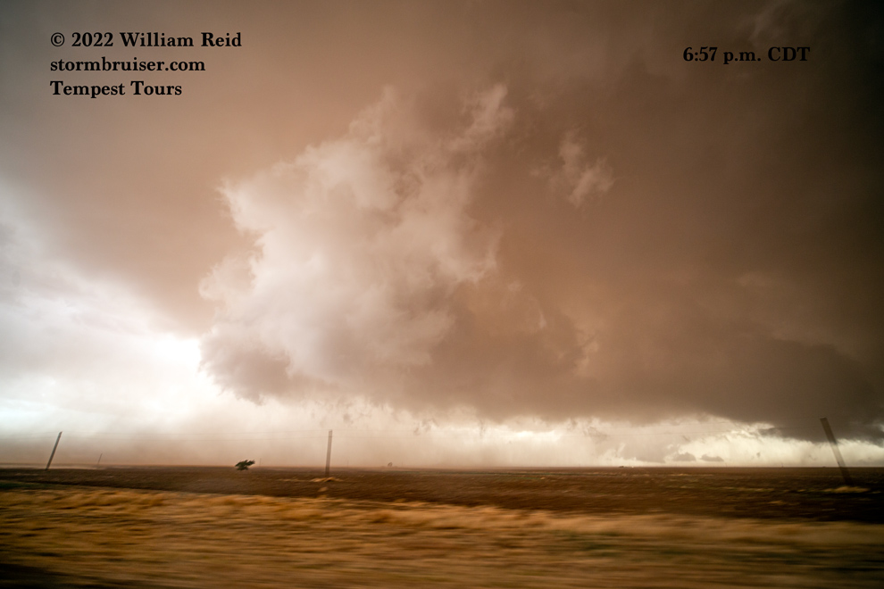
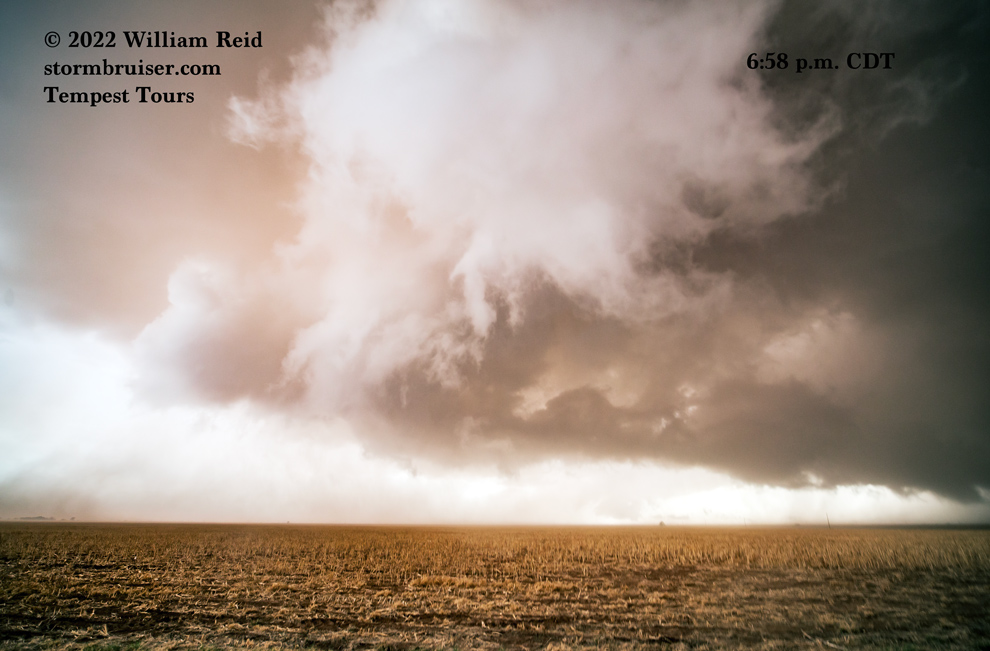
The three images below were taken from 6:55 to 6:58 p.m., looking mostly WSW still. By this time the leading edge of the base and RFD area were nearly overhead, and the cloud motion was just crazy! The motion and swirling in the scud tags were outrageous. It was at this time that I thought that we just might get a significant tornado. Our location now was RIGHT where the strong southeasterly inflow was coming up against the strong westerly RFD winds. It was breezy here! The middle photo below was at 6:57 p.m., right where 214 starts to angle briefly and slightly to the SSE (six miles south of Enochs and five miles north of Morton). We were stopped moments later (near the south end of that jog in the road) for that image at 6:58 p.m., just south of FM214 and County Road 34 in Cochran County.
We were now three miles south of the county line, and the action area was to our NW. The three images below are views to the NW and NNW from 6:59 to 7:01 p.m. CDT.
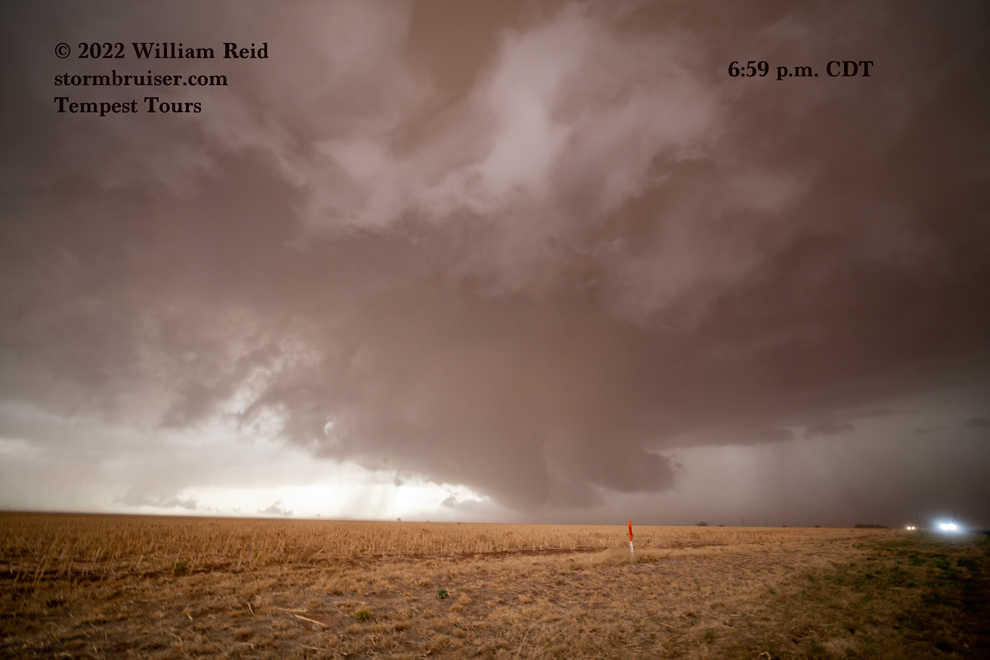
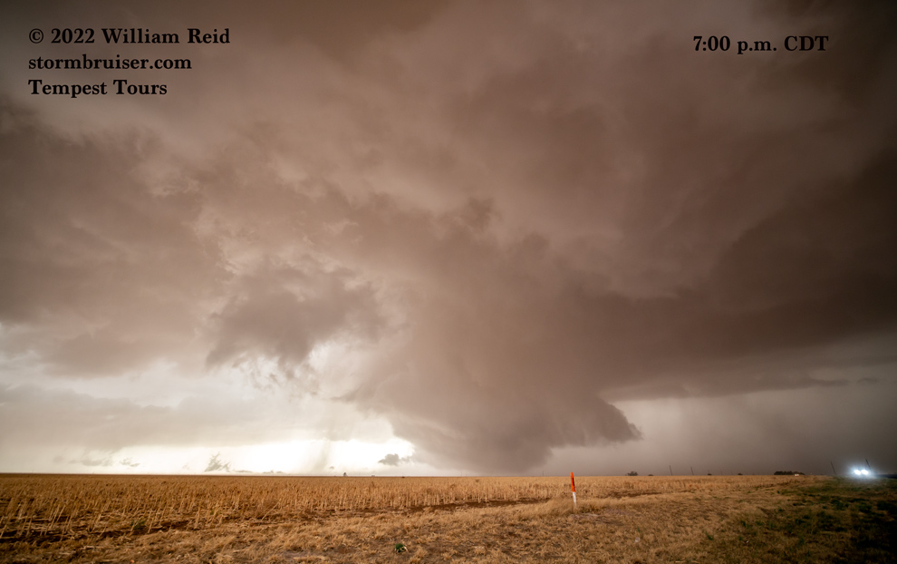
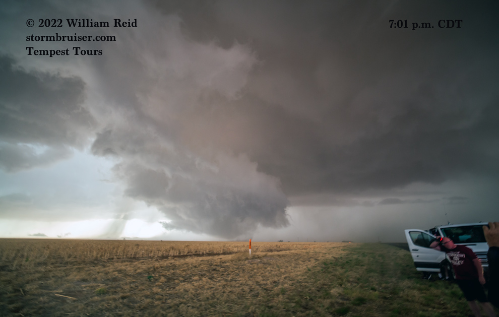
That prominent lowering to our NW showed good rotation, but I didn’t see much dust or debris getting stirred up beneath it quite yet. This is Jon’s video at 6:58 p.m. Strong RFD wind is from the W to WSW.
It was now rather obvious where any tornado might form: right where that lowering was to the NW-NNW! I figured that getting closer would not be unreasonable. John and Ron turned the vans around and we were soon rolling north on 214. The view up the road was magnificent. We stopped rather quickly, just south of CR 34. The view straight down FM 214 here is a little west of due north. The images below were taken at about 7:03 p.m. (one of them mistakenly shows 4:03 p.m.). Sorry about the variety of color schemes for these shots looking through the windshield. Which do you prefer?!
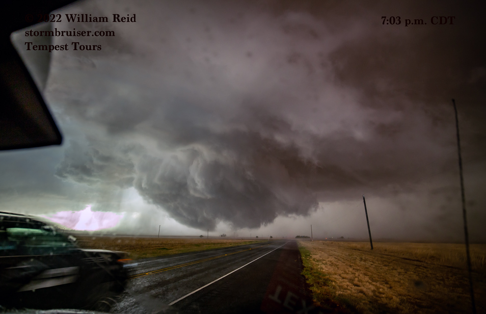
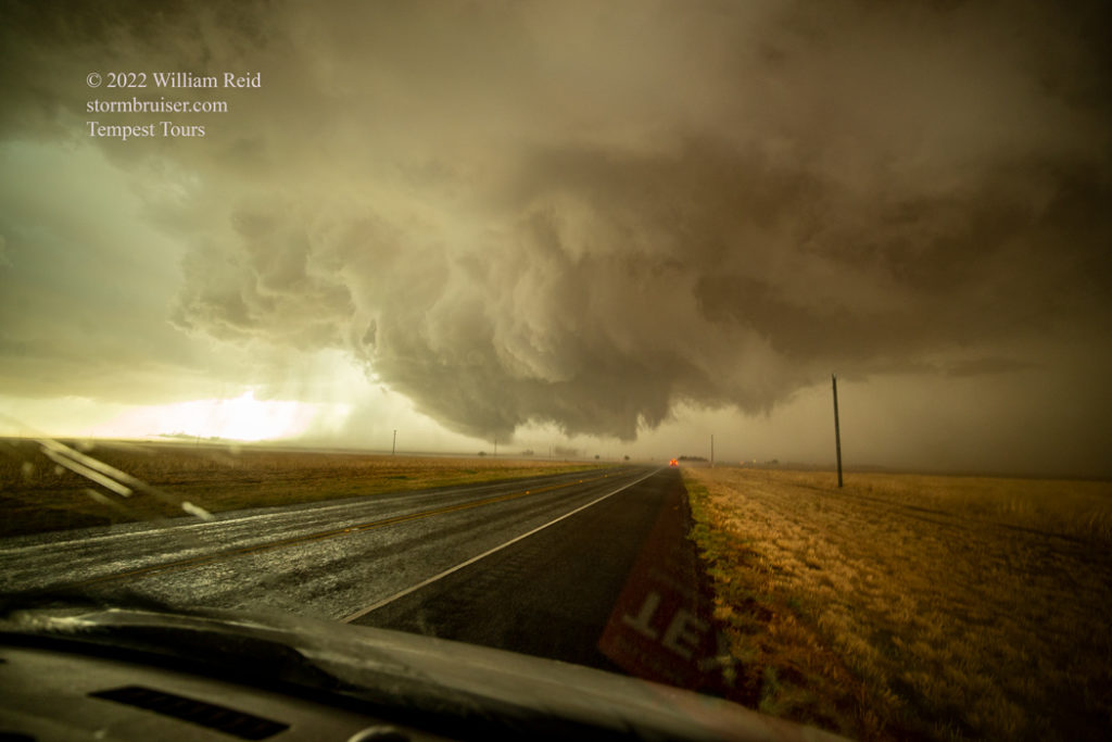
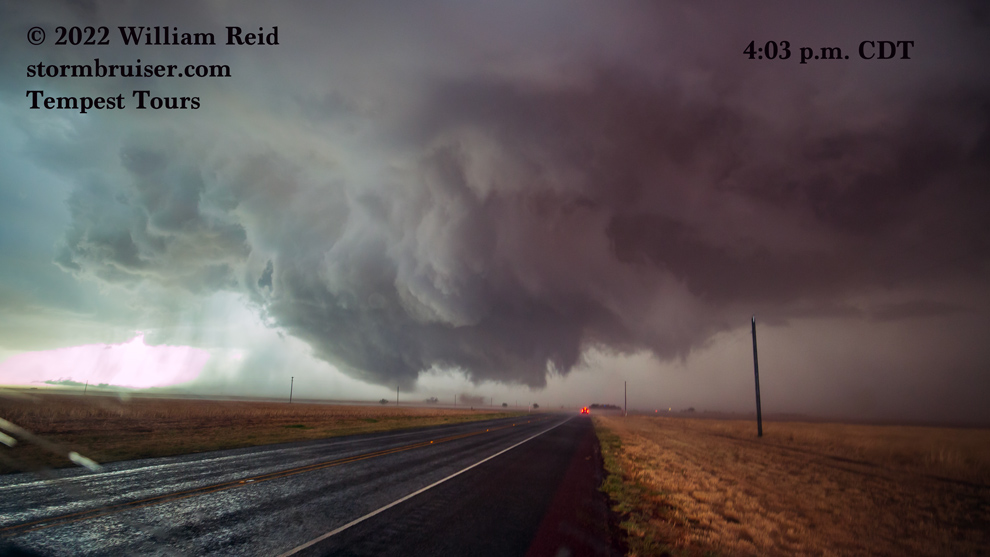
A little dust whirl was in progress in the images taken at 7:03 p.m., so we will make that the starting time for the “Morton” or “Enochs” tornado.
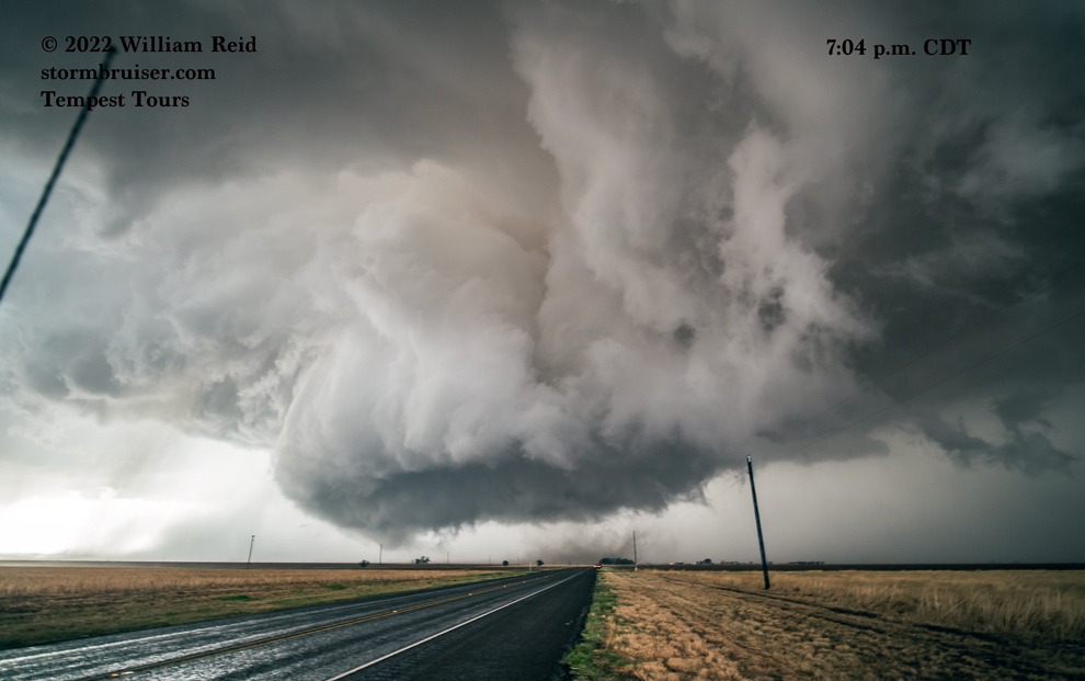
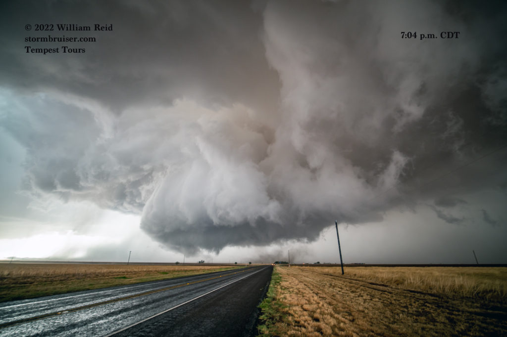
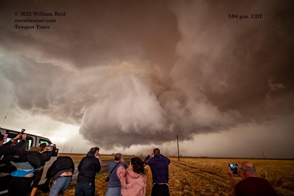
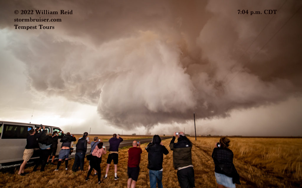
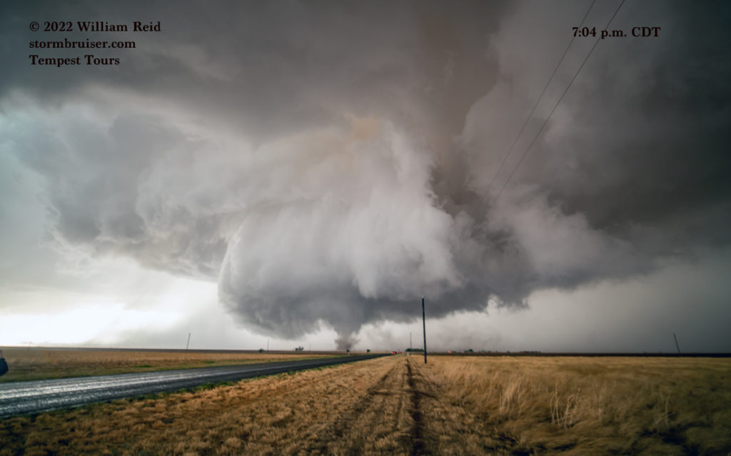
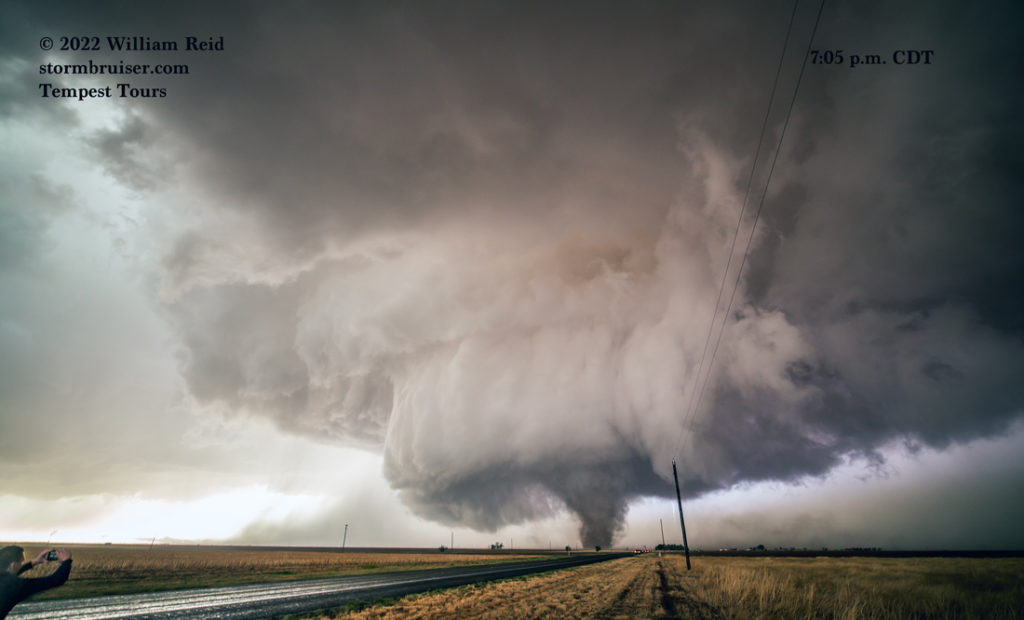
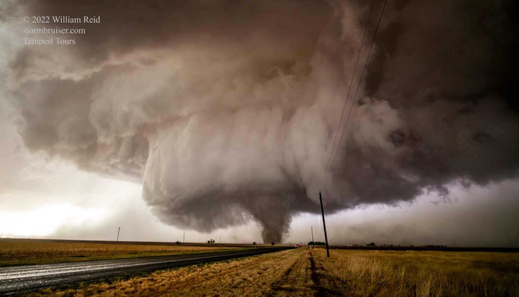
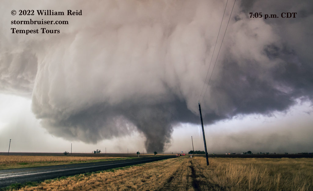
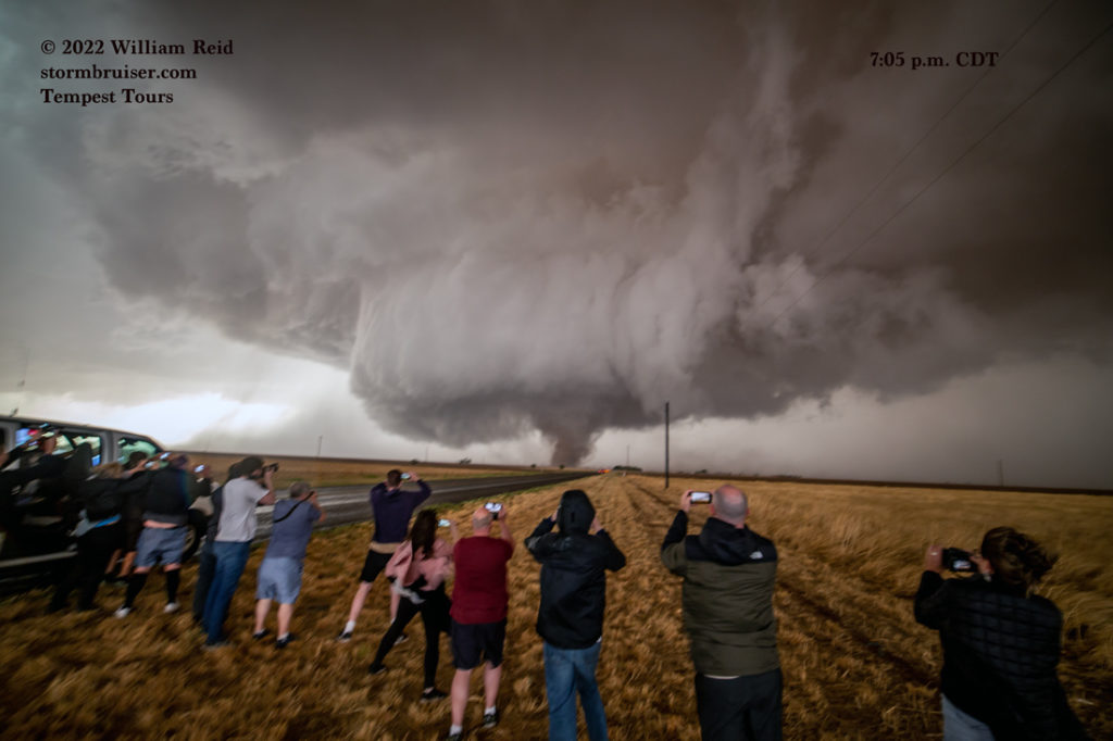
The nine images above were from 7:04 to 7:05 p.m. The tornado was just west of 214 and very close to the county line. The structure of the tornado cyclone was stunning. These are all with the 15mm lens, and some images are cropped a bit.
The nine images below are from 7:05 to 7:08 p.m., as the tornado continued to strengthen. It was drifting very slowly to the east or northeast. The “portrait” mode image shows the clear slot of the RFD just to our north. Strong west winds with the RFD were now impacting us, with occasional wind-whipped rain. Fortunately any hailstones were few and small, and we were able to remain outside to watch the show. The east side of the van provided a little protection!
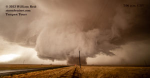
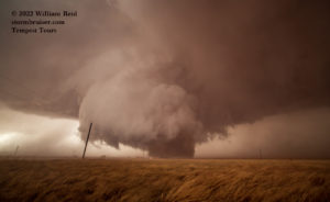
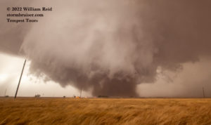
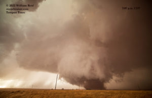
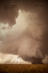
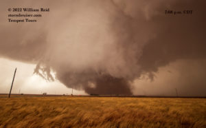
Below are several video clips of the “Morton Tornado” by Tempest Tours guest Jon Darrow, beginning with the very early stages at 7:04 p.m.
The tornado went into “beast” mode, at least visually, by about 7:07 p.m. (see nine images below). We continued to get blasted by RFD winds and occasional rain. I tried a couple of short video clips with my Canon 6D and the wide angle lens, but these wound up junky and shaky. I didn’t think about setting a camcorder up on a tripod, and that was probably because it was rainy and windy. I have picked more than one camcorder up off of the ground while a tornado is in progress!
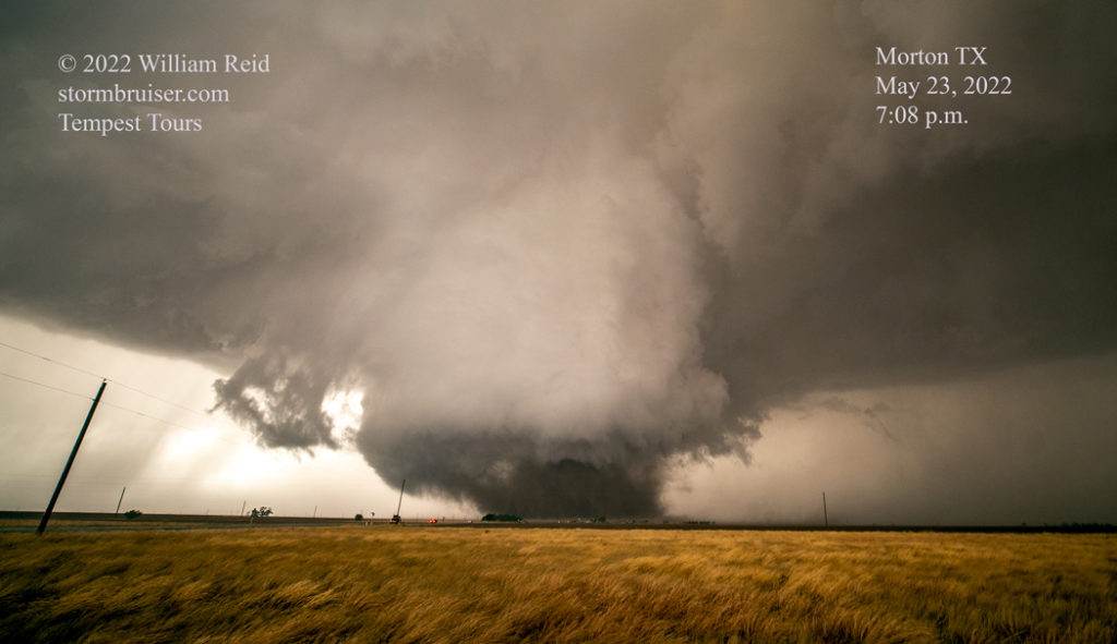
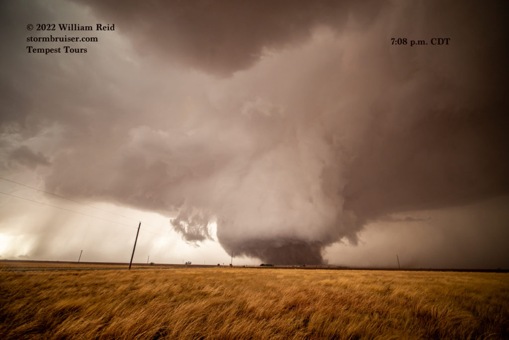
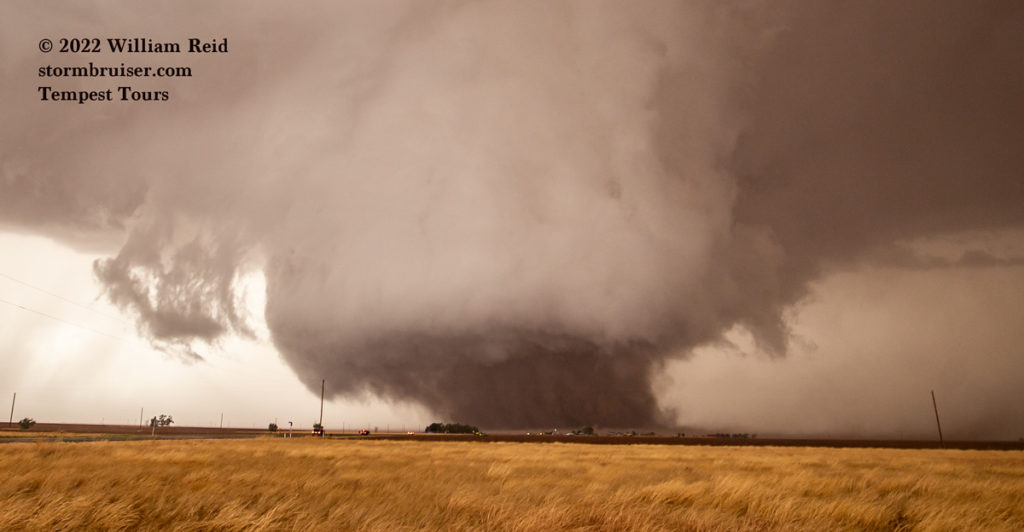
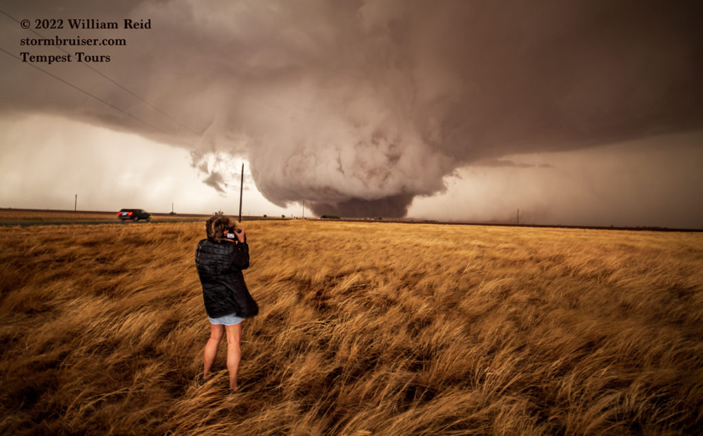
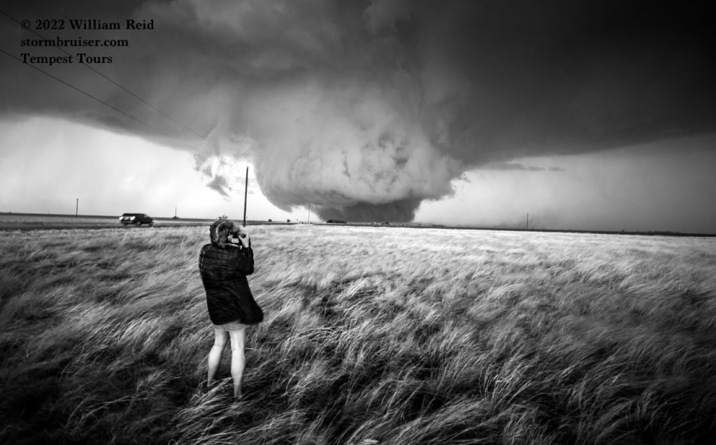
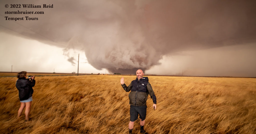
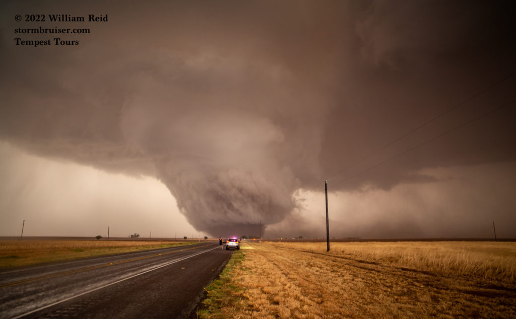
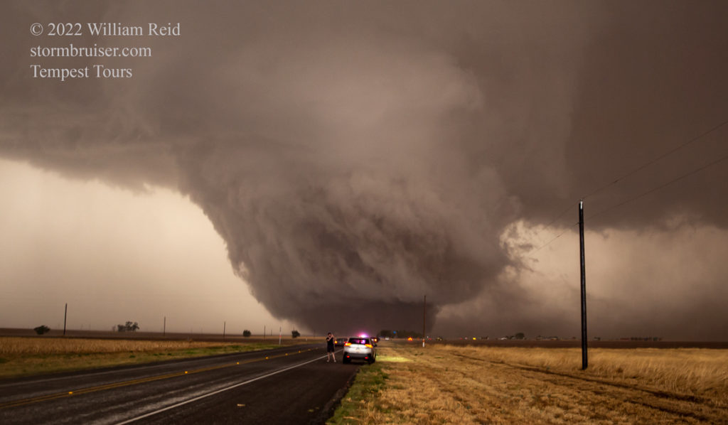
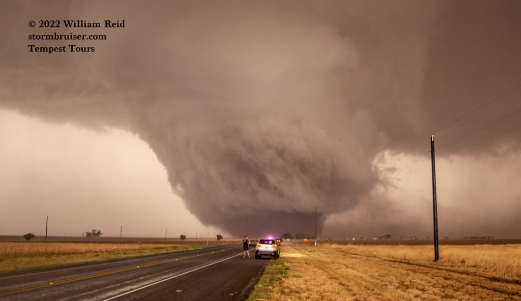
The tornado refused to move much at all. It looked like it was sitting right on 214. It was actually just to the west of 214 and drifting to the north. The storm survey by Lubbock had it at 1400 yards in width and EF2 in strength. It began at 7:03 in Cochrane County, 4 miles SSW of Enochs in Cochrane County. It ended at 7:18 p.m., 3 miles SSW of Enochs in Bailey County.
The nine images below were taken from about 7:10 to 7:13 p.m. The rain at our location increased as the tornado became rain-wrapped. It was time to get back in the van! What a rush!
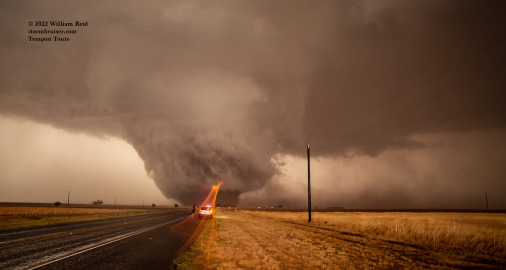
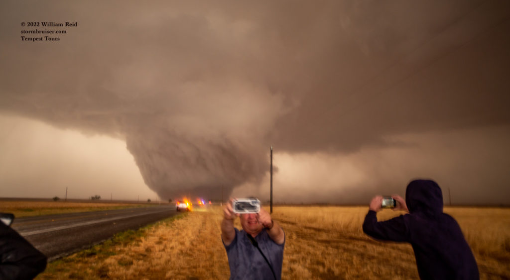
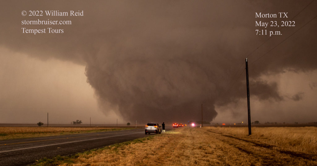
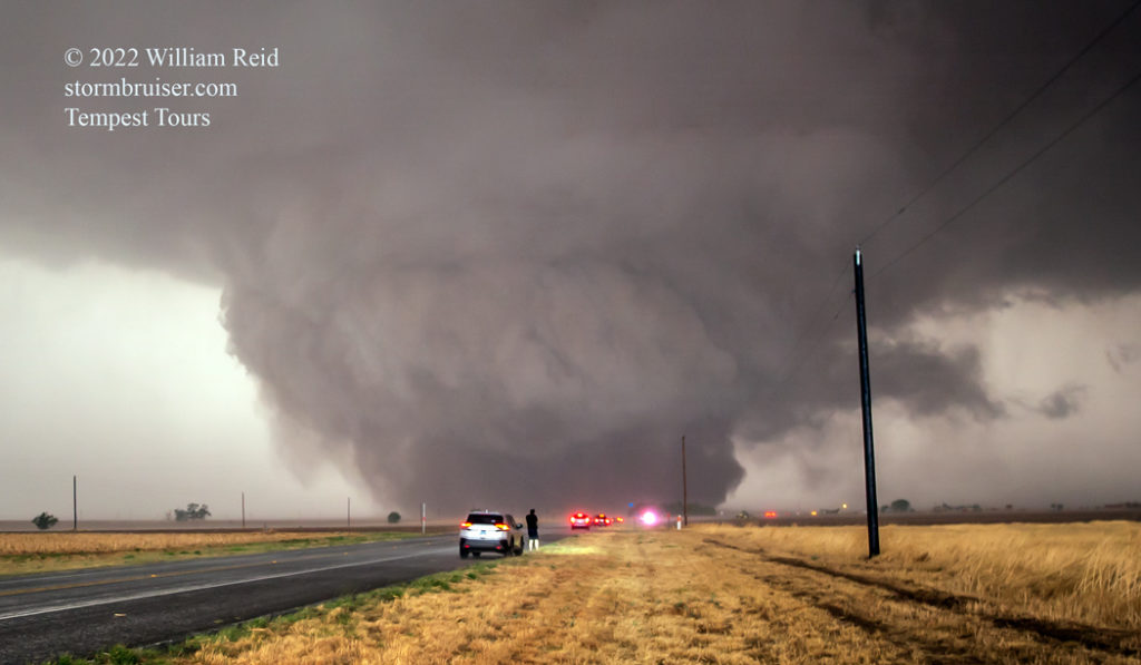
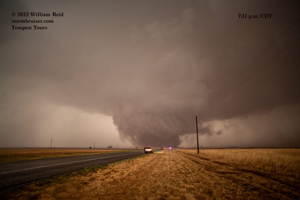
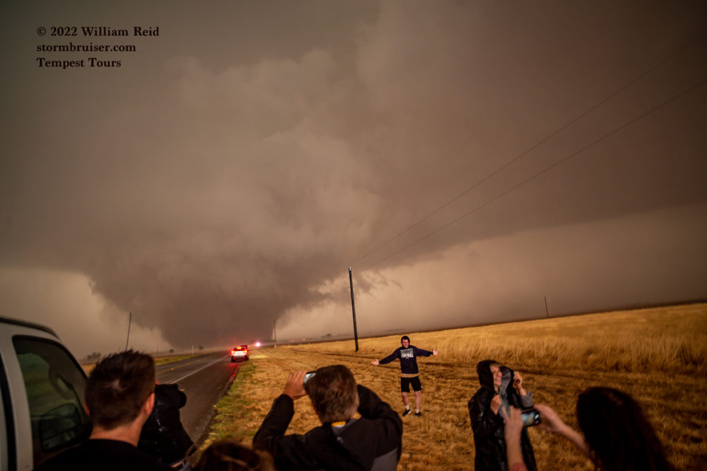
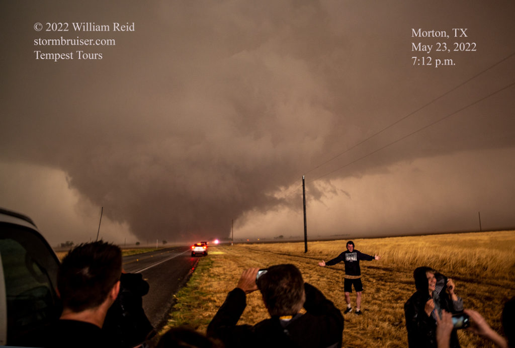
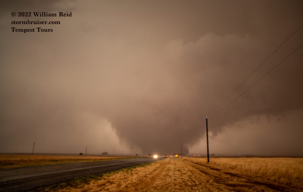
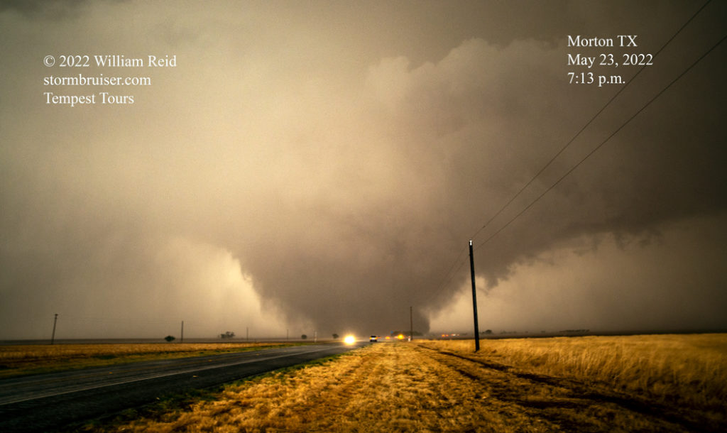
(Additional video clips of this tornado by Tempest staff and guests are at the bottom of this entry.)
With the main show now wrapped in rain and weakening, I decided to get ourselves farther east. It would be nice to get a grand view of the entire supercell, but there was so much dust! Finding a spot where the dust wasn’t blowing into one’s eyes or obscuring the supercell altogether (obscuring the supercell) was problematic. I think the images below were taken along FM303 in the vicinity of Pep. A few lowerings looked awfully suspicious, but we observed no additional tornadoes on this chase day. A tornado was reported at 8:07 p.m., four miles SW of Pep, but we were headed south to 114 to get east for the structure around sunset.
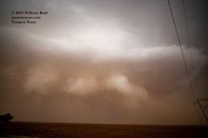
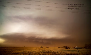
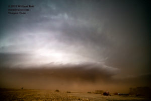
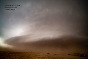
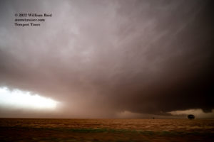
It seemed that the farther south we went (from Pep to FM114 on FM303, between Whiteface and Levelland) the worse the dust got! I stopped near a pumpjack for some structure shots near sunset, and a little later we were near Levelland as darkness fell. The structure remained really good into the evening, but eventually the system succumbed to outflow and it became a big rain event for the Lubbock area.
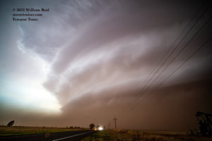
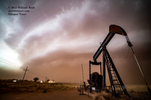
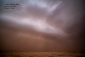
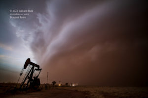
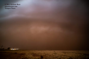
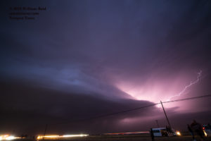
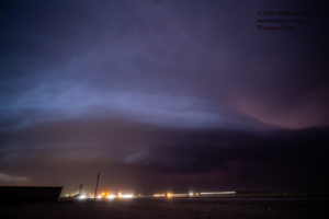
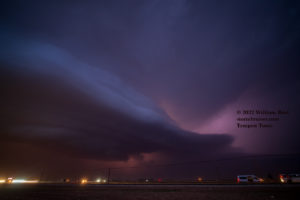
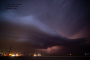
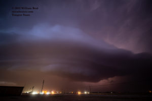
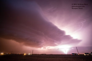
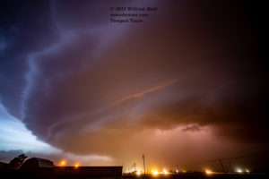
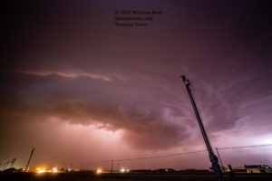
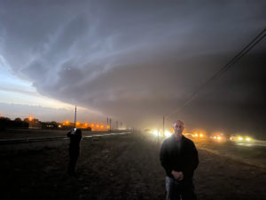
This was a superb chase day, as we witnessed a large tornado at relatively close range. How often do you get to stand in the same spot and watch a nearly stationary wedge tornado form?! And, the tornado did little or no damage and on one was killed or injured.
Below are five storm images that I took with the iPhone. These may provide a slightly better representation of the colors, the look of the storm and visibility, etc., in person.
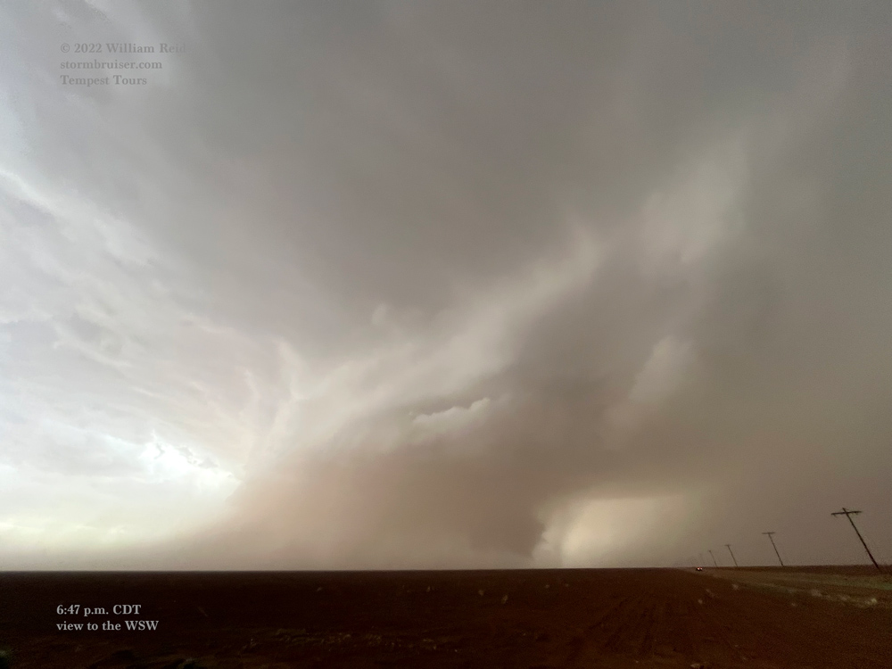
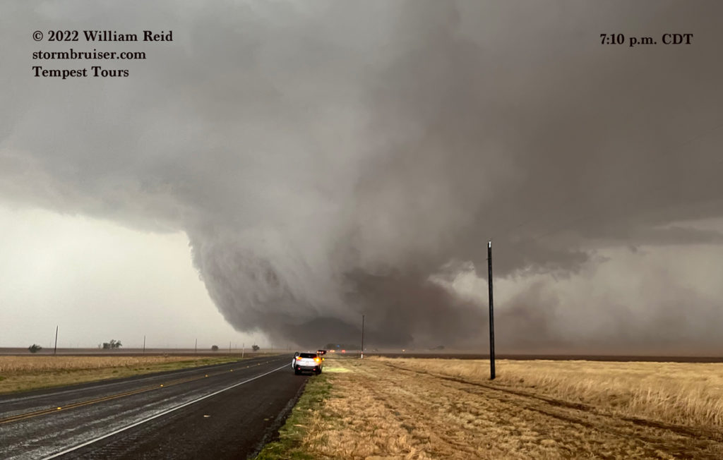
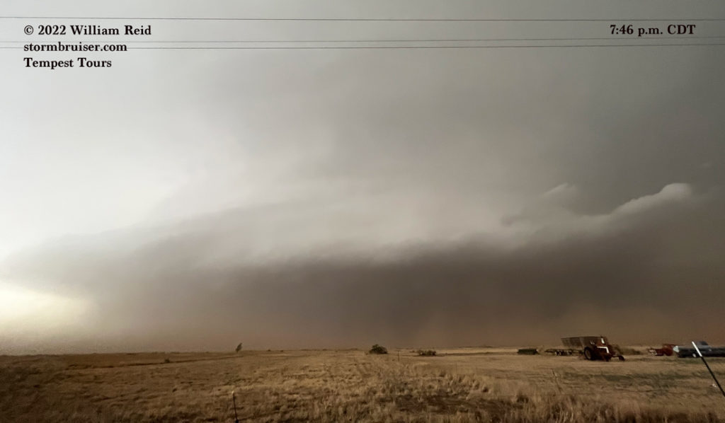
Video by Tempest guide John Lamicq, from the comfort of his driving seat!
Below are two video clips of the event courtesy of TT driver/guide Ron Riemersma:
Tempest Tours guest Chris Newth authorized me to post his video of the tornado on my YouTube channel. Check out Part One, Two and Three. Part One begins about five minutes prior to the initial stages of the Morton tornado.
Timelapse video by Chris Gullikson and his roof cam. Chris was with another group and was southeast of the Morton tornado by several miles. The Morton tornado is at about minute 4 to 6. A second tornado to the east of the main one is noted!
Video of the Morton tornado by Brandon Ivey. His tour group was less than 1/2 mile north of our location, so his view was similar to ours.
There are numerous chaser videos of the Morton tornado on YouTube. It was certainly not a chase day where one would think that such a large tornado were possible. But, it is the Texas Panhandle in May, right?!

Leave a Reply
You must be logged in to post a comment.