

Start: Lubbock
Lunch: fast food in Snyder, TX
End: Sonora, TX (490 miles)

Timelapse of San Angelo and Sonora supercells by Chris Gullikson/roof cam. Chris and company were in position on (i.e., east of) the San Angelo storm while we were coming up from the west and into the bears cage area.
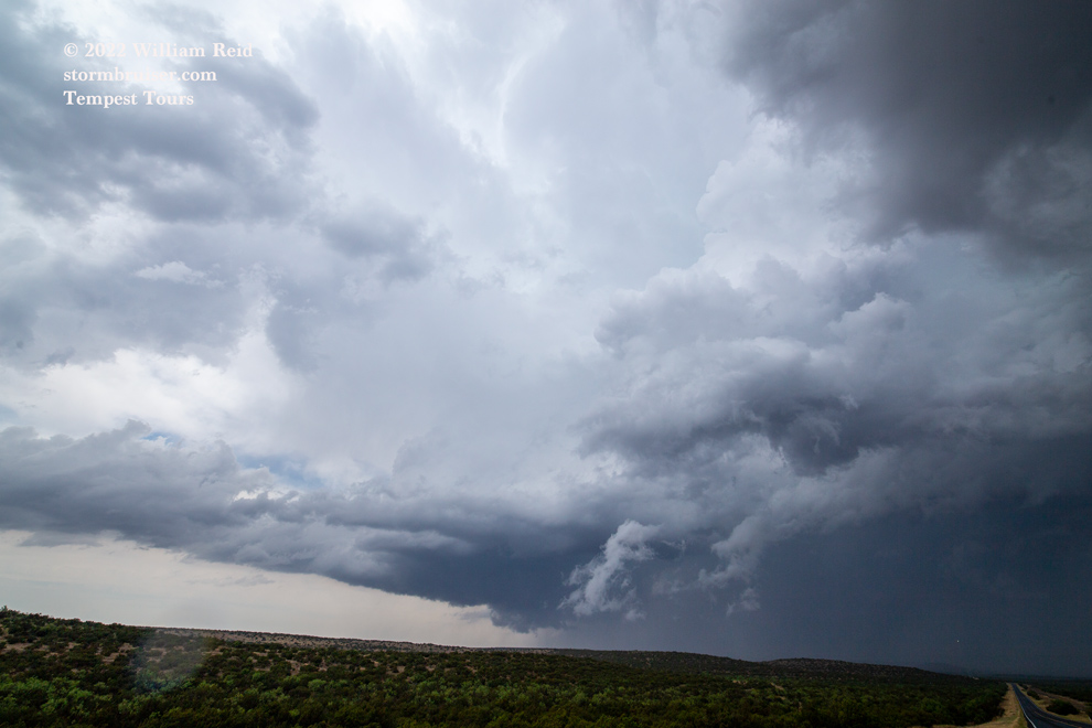
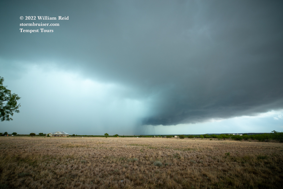
An E-W oriented cold front was sagging southward through Texas today, passing through San Angelo around midday. Instability along and south of the front was quite good. Shear seemed to be sufficient for supercells. Forecast models indicated severe storms moving off of the high terrain in central New Mexico and into upslope surface flow during the afternoon, but I chose to play the weak surface low/triple point area in the vicinity of San Angelo. SPC showed a 5 percent tornado risk with an enhanced slight risk for severe. But, surface winds did not appear to be especially favorable for tornadoes, with southerlies south of the boundary and cool northeasterlies on the north side. As it turned out, the San Angelo/Knickerbocker supercell wound up with wet and cold outflow issues. Its storm base was too undercut by rain-cooled air to allow a tornado. The cool northeasterlies behind the boundary and the “sagging” cool front were detrimental in this regard. One other thing I might add! Low-level moisture was good but not great on this day, with dews generally in the low-mid 60s. For this area of TX in late May, one might expect dews closer to 70F, lower storm bases, and a better tornado threat, but that was not the case.
We made our way to Sterling City, with a strong updraft already forming to our south. We were playing catch-up as this one strengthened and moved to the east. It was quite the beast, with reports of giant hail coming in as it neared areas just southwest of San Angelo. It became HP-ish and outflowish as we got close, beneath the wall cloud and bears cage area near Knickerbocker (between San Angelo and Mertzon). We had a gustnado of some sort beneath the storm base nearby for a minute or two.

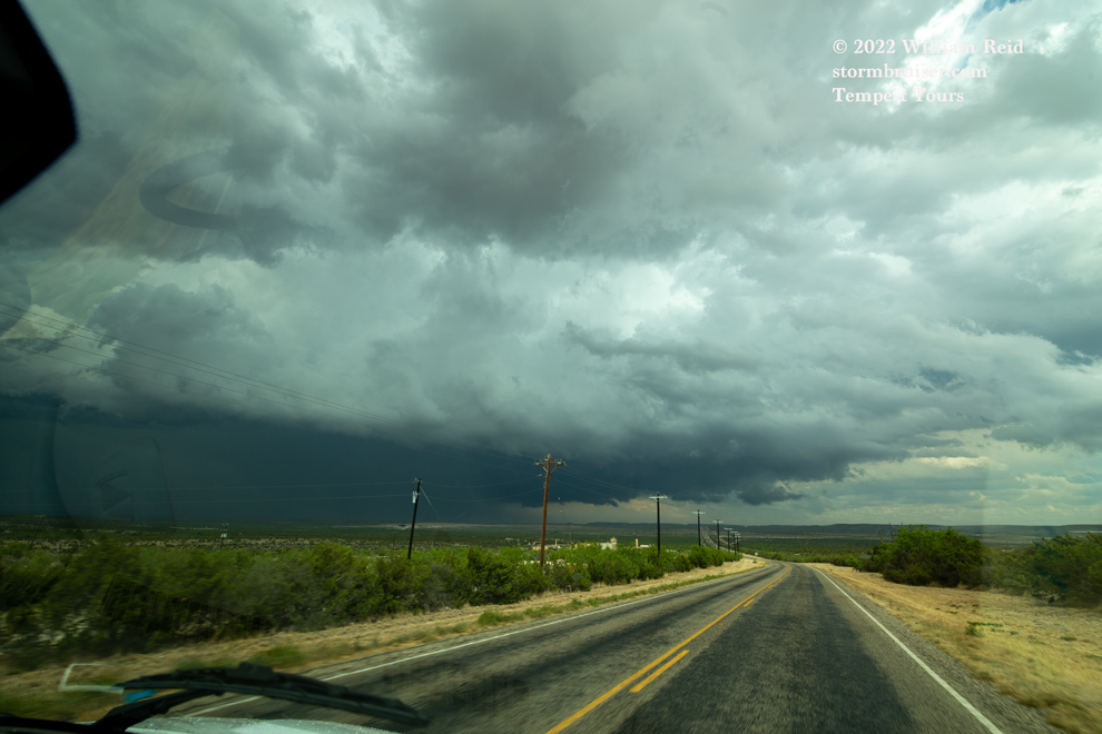
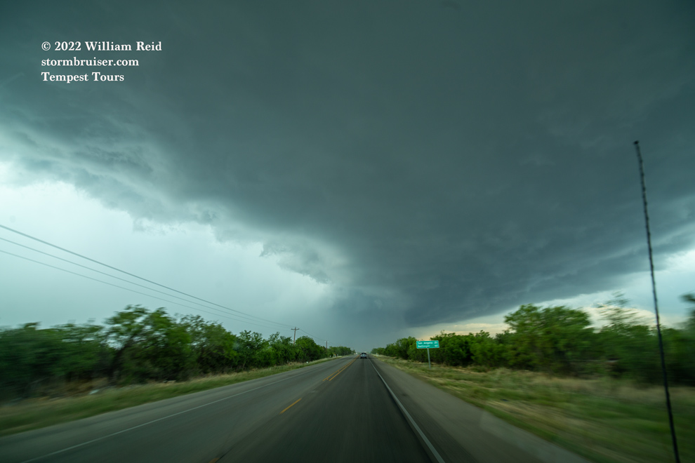
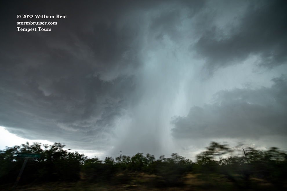


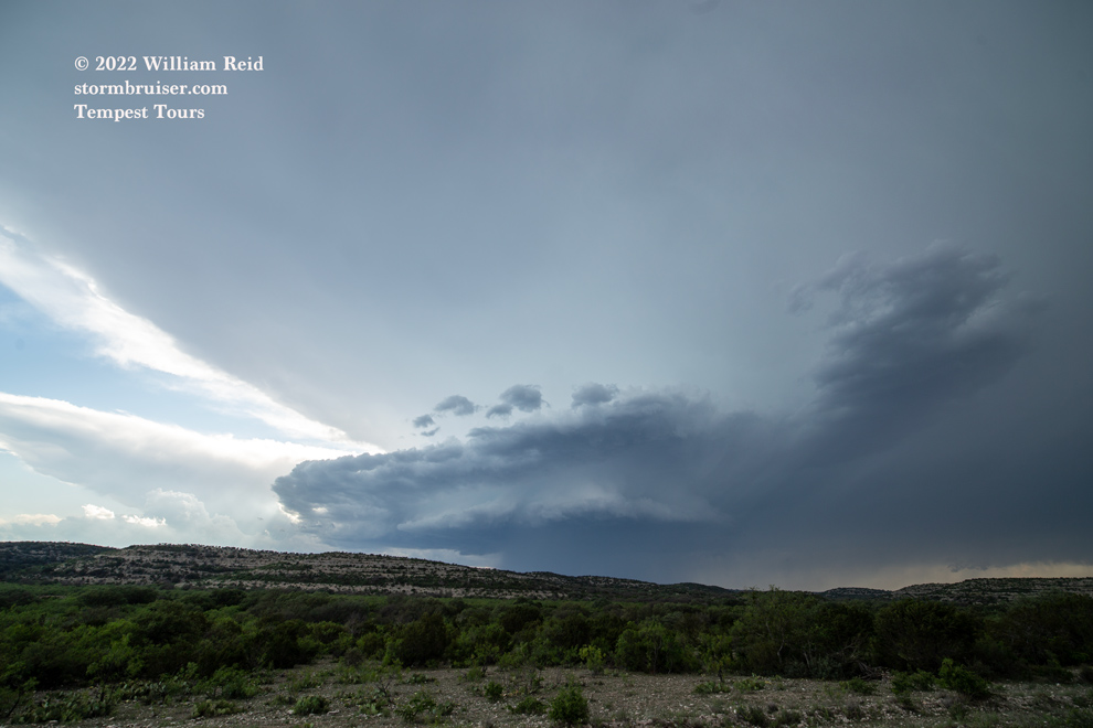
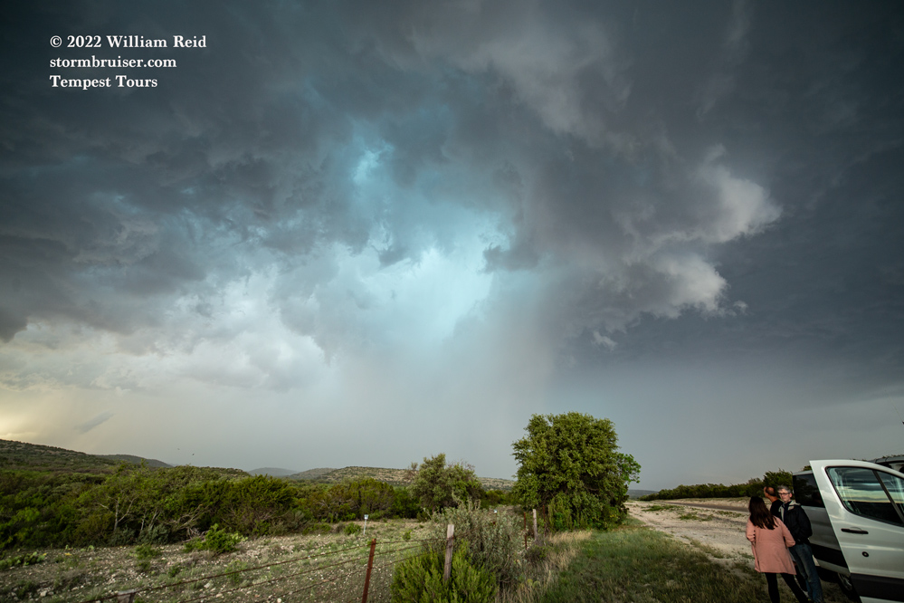
This HP cell became tiresome, and we headed south to catch a supercell coming off of the dry line. South of Sonora by maybe 25 miles we managed to get in front of a supercell which had some decent structure. Once the storm passed to our north, we checked the roadside for hail and found some stones that were at least two inches in diameter.


Leave a Reply
You must be logged in to post a comment.