
Start: Ponca City, OK
Lunch: Blaze BBQ in Enid
End: Altus, OK (342 miles)
Chase account by Tempest guest Lesleyanne
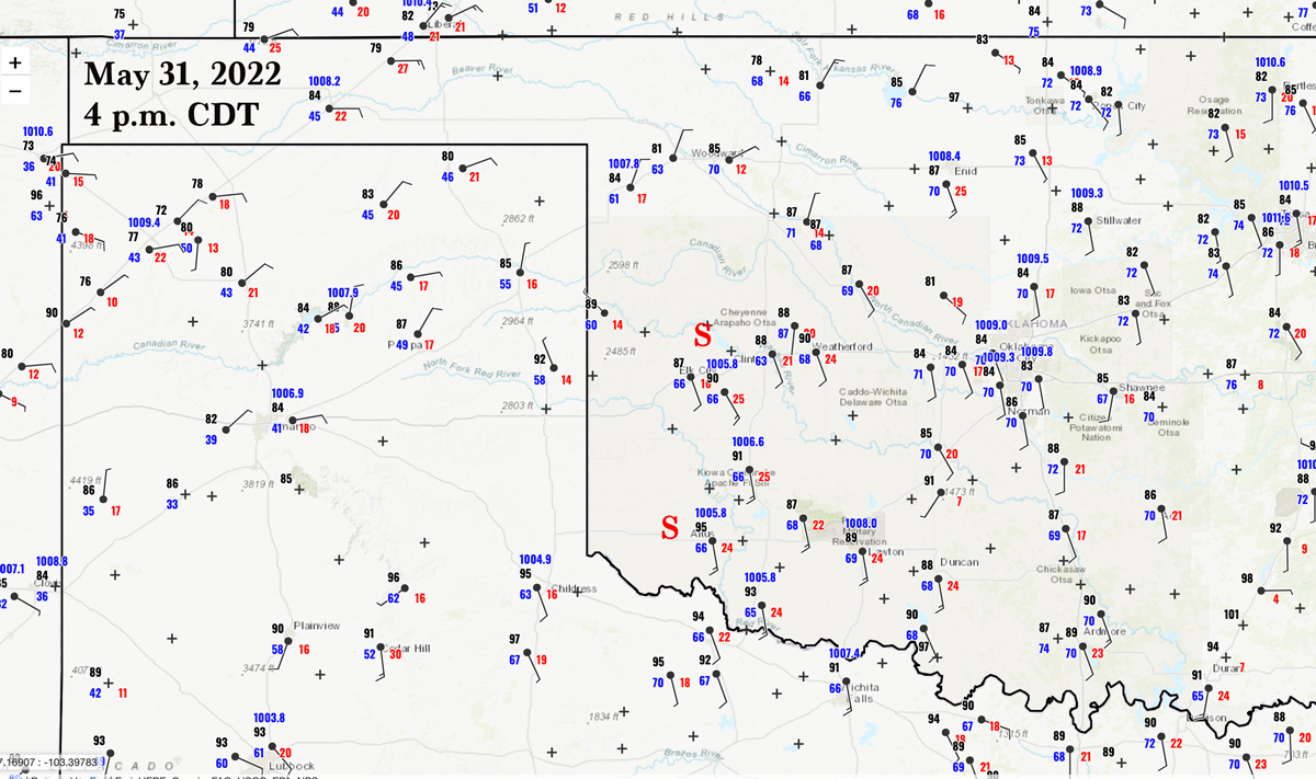
Shear, instability, and low-level moisture were quite good today. A boundary sliced through northwestern Oklahoma. Winds were backed a bit to the south of the boundary. According to the SPC enhanced slight risk, I had to choose a target somewhere from about Plainview, TX, to Ponca City, OK (our starting point). SPC was downplaying the tornado risk, as strong downdrafts and quick transitions to outflow-dominant mode were expected. If I were starting the day in Lubbock, then I probably would have stationed the group a little east or northeast of there. The best chase target spot was a bit nebulous. We first headed west to Enid for lunch, and then I had Matt and Brittany take us a little farther southwest as a bit of surface circulation was showing itself in western OK.
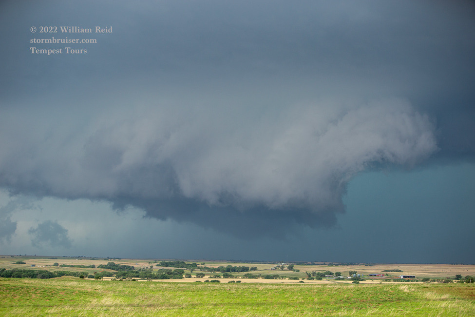
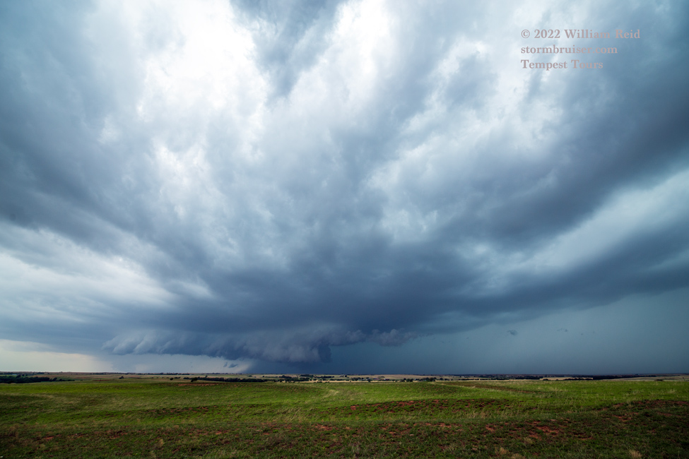
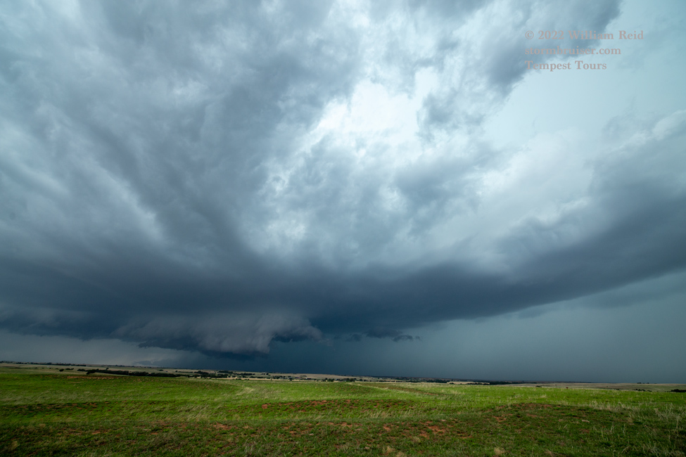
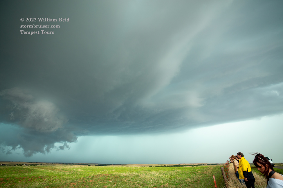
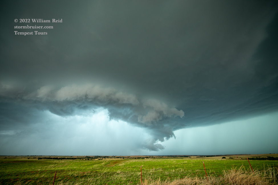
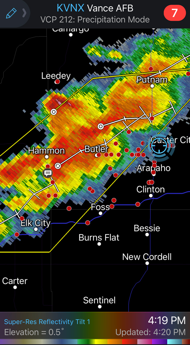
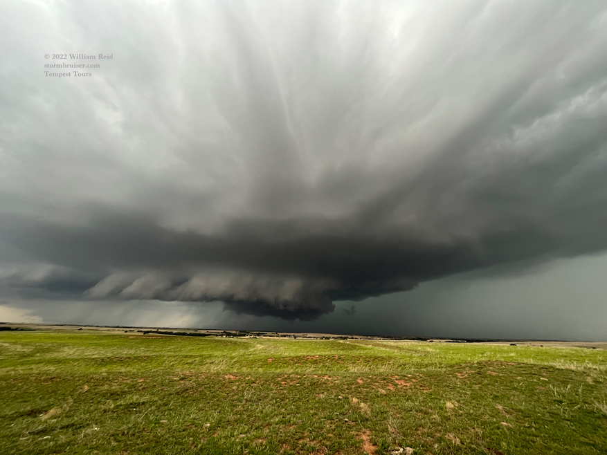
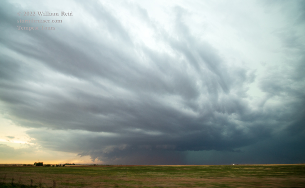
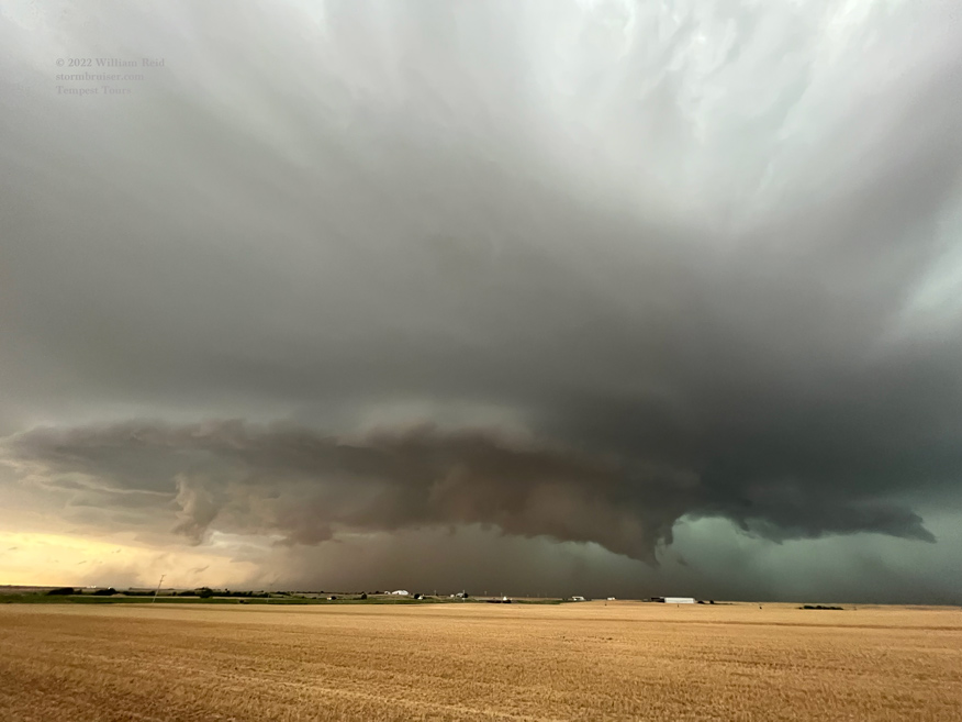
We saw some strong updrafts mature to our west, and we made our way to a hilltop near Butler to watch a decent supercell approach. The first two zoom shots show a wall cloud which looked to pose a tornado threat. This supercell had a low base and was not particularly outflow dominant!
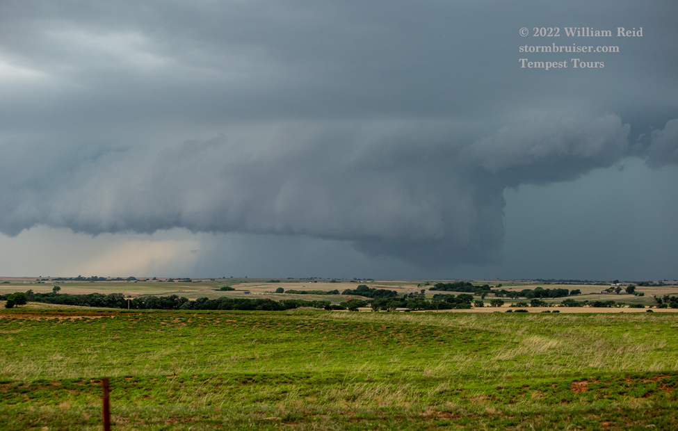


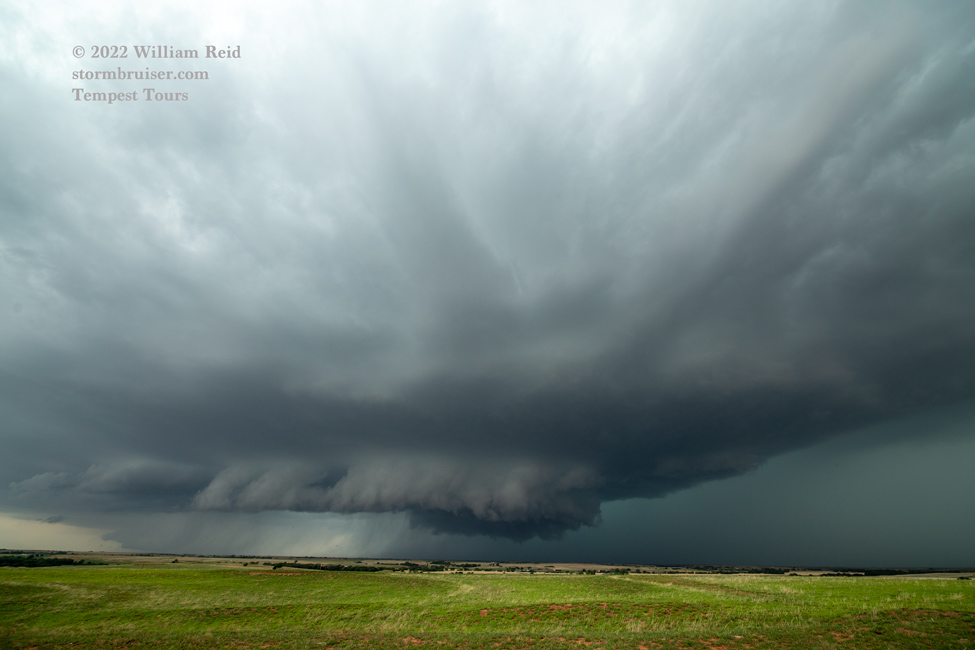


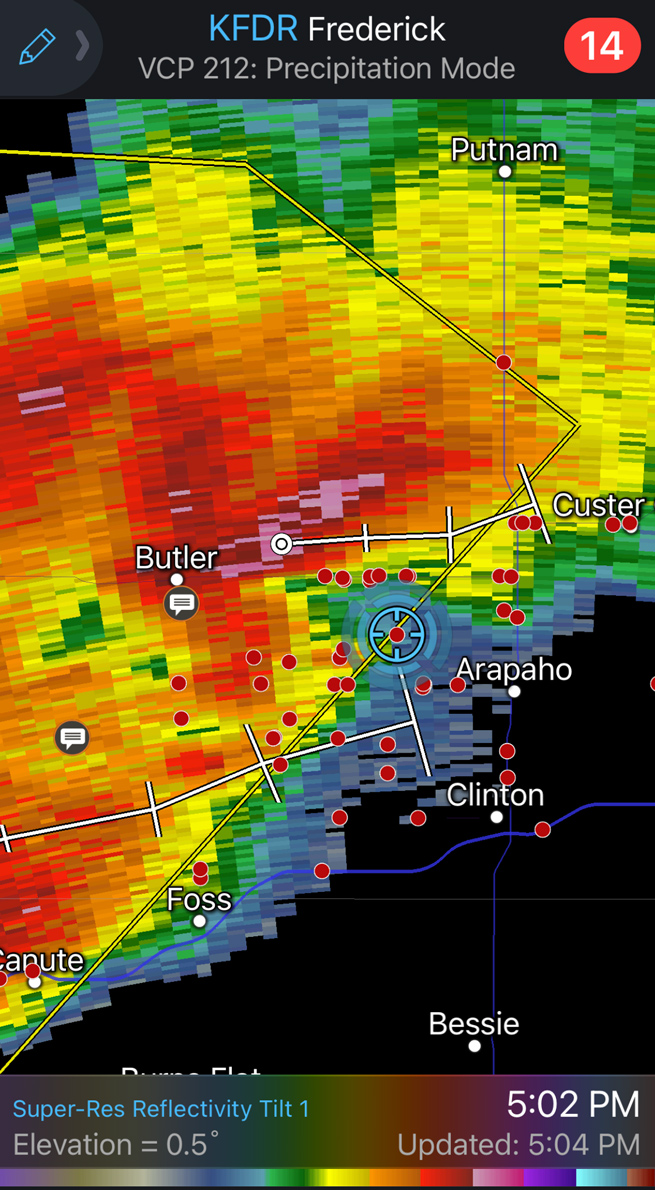
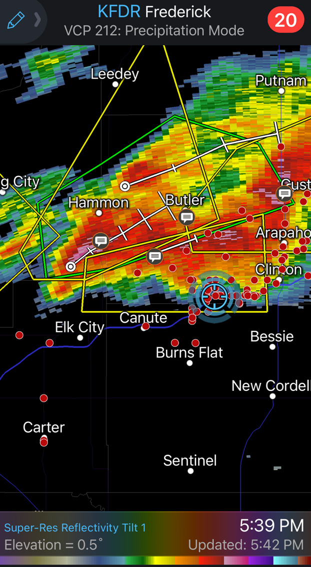
This one near Butler neared and weakened, to our dismay. We weren’t dismayed that it neared, of course. Other cells were going up nearby to the southwest, and we checked those out. I think by now the words of the day were “messy, merging, and mucky.” Another more isolated supercell was strengthening near the southwestern corner of Oklahoma, so we blasted south to get in front of that one. Storm chasers tend to blast when headed to a good storm.
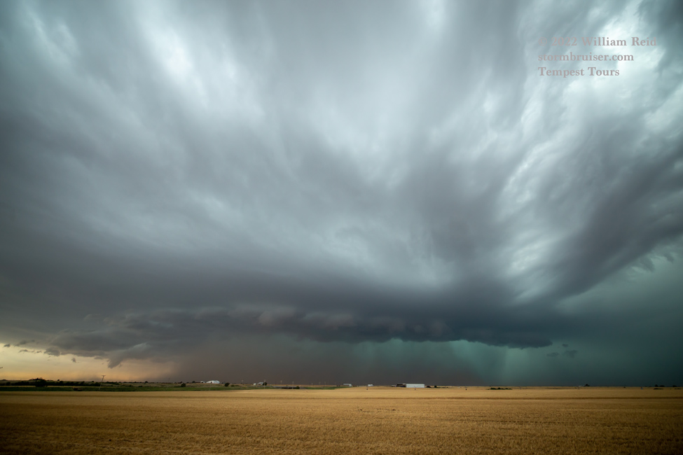
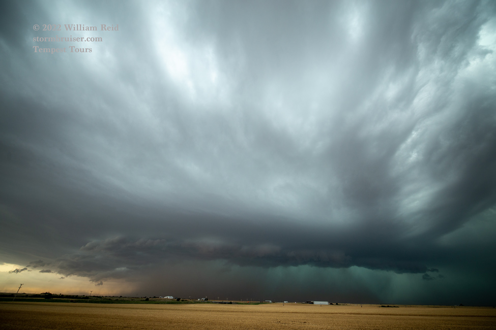


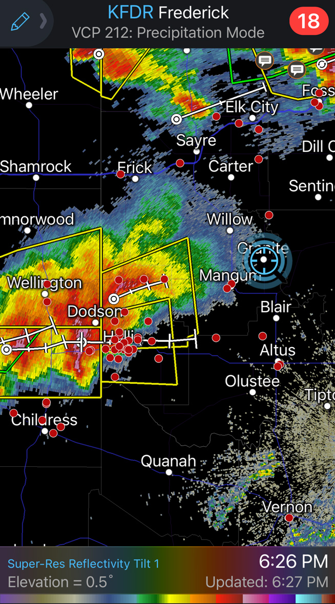

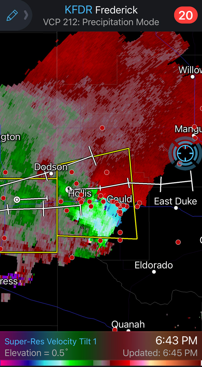
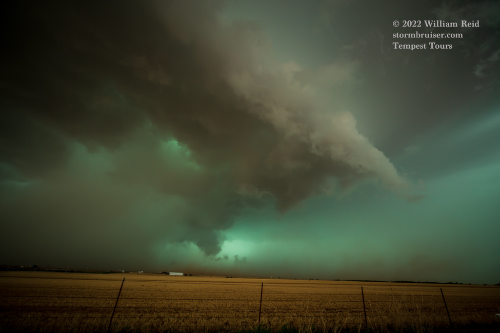
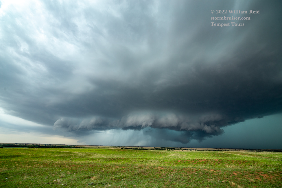
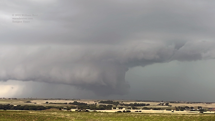
This supercell near Duke was a bit of an HP beast. It reportedly had a tornado with it near Dodson. The video of it by Marcus Diaz is not entirely uninteresting! We saw an action area as we had a view into the notch area. But, rain and dust and a trend to outflowing and undercutting precluded any additional easily visible tornadoes with this one.
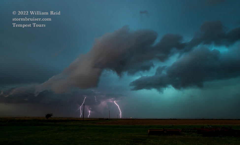

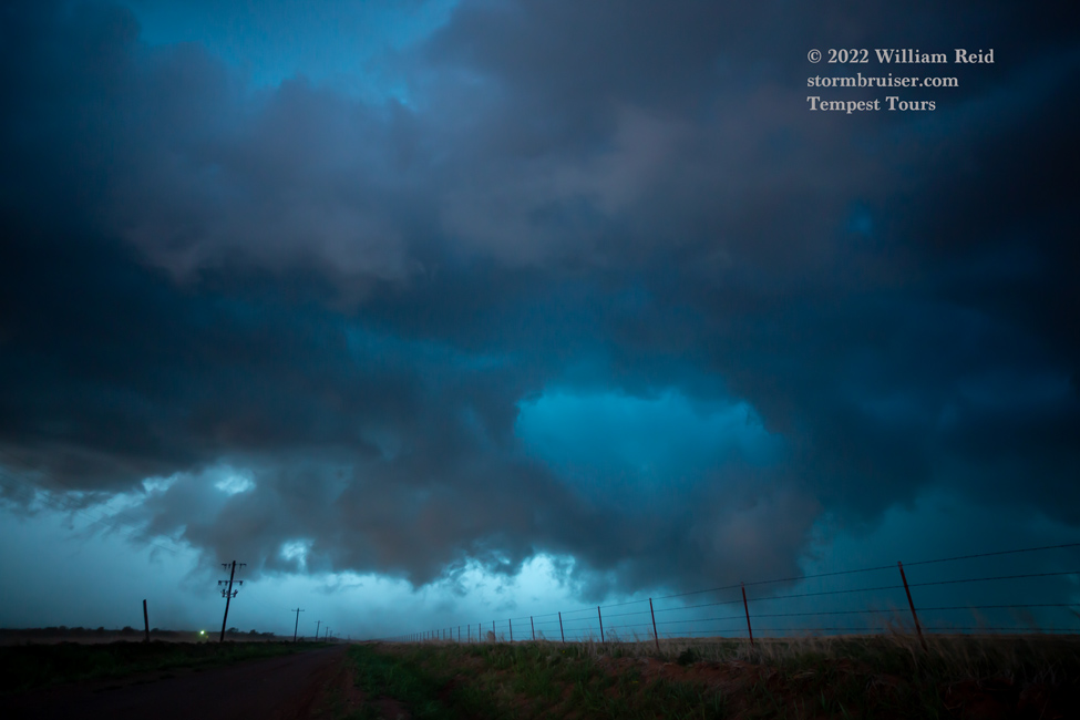
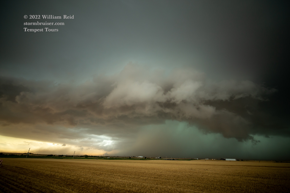
We waited under an awning in Duke for the hail barrage which never arrived. The sirens were sounded, though. The next move was to Altus and south towards the river to try to shoot anything interesting at dusk. The clouds were low and scary, but lightning was in short supply. On our way back to Altus for some Chicken McNuggets we found ourselves in hurricane-like conditions for what seemed like forever — maybe 20-30 minutes. Wind was westerly at perhaps 50-75 mph and the rain was crazy heavy. We had to wait it out in the dark along the side of the road. Eventually we rolled into a flooded and mostly dark Altus. Our motel had no power, but the Whataburger a block away did have power, and they fed us. YAY!
Leave a Reply
You must be logged in to post a comment.