Start: Altus, OK
Brunch: Sunrise Cafe in Altus
End: Monahans, TX (406 miles)
Chase account by Tempest guest Lesleyanne
Today’s forecast target area was a no-brainer. We had to head southwest out of Altus and get ourselves south of a front somewhere near the TX/NM border. Mid-level winds were good, even this far south on the first day of June. Instability was also good, over 2000 J/kg, and supercell mode would be favored. Tornadoes appeared unlikely as dews were just “okay” (near 60F) and afternoon temperatures were into the 90s. Storms would start out with high bases and then start spilling cool outflow. Right?!
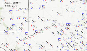
Check out the surface map and see how chilly it was (with N winds) mid-afternoon from Morton to Lubbock. It was nice to drive out of that cool murk and into the warm sunshine and east winds as we neared Seminole. About this time a supercell had already developed near Eunice and Jal, NM, to our southwest. This was perhaps an hour away still. This NM storm looked quite beefy and nasty on radar. We headed southwest out of Seminole and then diverted to the SSE on 181. This was a better route for safely getting in front of the ongoing storm, in lieu of going as far west as Eunice…but our attention was diverted to some very new and strong convection just to our south. This was west of Andrews and quite close to 181. It was easy to position just ESE of this cell.


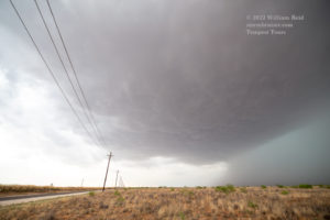

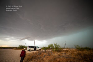
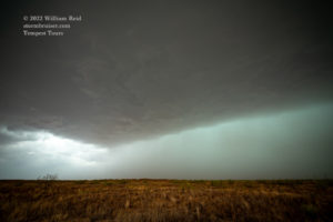

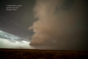
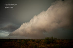
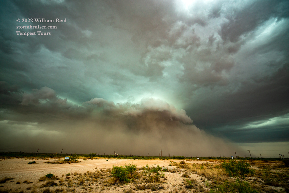
Our nearby storm organized quickly and the storm base was on the high side and it was large! Note the nice and smooth look to the base in the pics above. The storm was slow to edge eastward, and we were able to hang out here for quite a while. Eventually its precipitation core couldn’t hold it in any longer. The storm started to throw cold outflow towards us, and it also started to move to the southeast. Our Road 181 was perfect to stay just ahead of this severe storm, and real soon the cold outflow was crashing into the warm and humid ESE winds. Very low scud clouds developed very quickly and gave the storm quite the nasty look. Ten or twenty minutes later and a little farther to the SSE, we were watching a wall of outflow dust materialize and begin to threaten our position! Reports of damaging hail up to 2.5 inches in diameter were received. We could have accommodated reports of a larger size.
Just a little humor there.
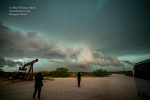

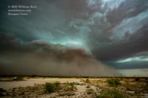

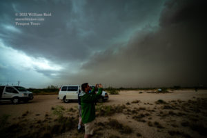

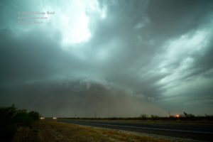

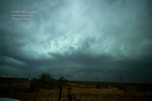
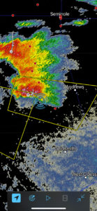
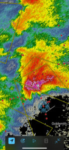
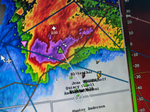
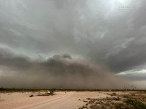
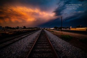
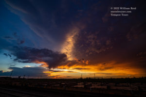
Radar showed a strong TVS in our cell, but since it was strongly undercut we figured the storm had little or no tornado chance. But, never say never! Somewhere between Goldsmith and Odessa we had a decent look again at the structure and dust-shrouded low levels. However, that was about it as far as excitement for the chase as gradual weakening commenced. I decided to head into Monahans for a meal, and a colorful sunset awaited us thereafter.



Leave a Reply
You must be logged in to post a comment.