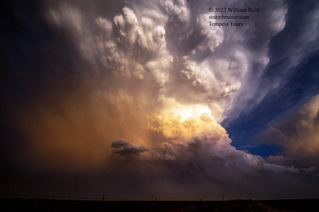
June 6, Day One for the Tempest T6 Photo Group (Denver to Oakley, 485 miles), was a junky junk-filled junkfest in NW KS.
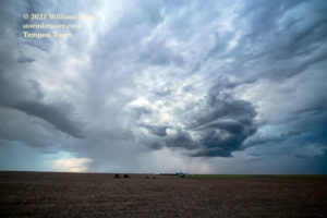
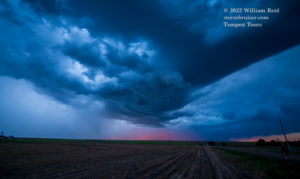
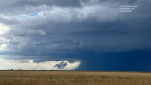
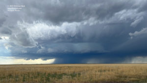
With a late-morning start out of Denver, we were not in good shape to chase the Nebraska play. I tried northwest Kansas, and it did not work out and the storms were high-based mushballs. I have conveniently forgotten what it was that drew me to this area, as some decent severe storms were on the Colorado High Plains. Here are some pics from that day which are well worth forgetting. This day does not deserve its own SB entry, so it gets stuck at the top of the June 7th chase day, which was much better. For the most part.
June 7th
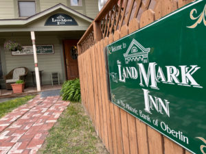
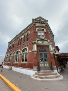
Start: Oberlin, KS
Lunch: Carls Jr/Burlington, CO
End: La Junta, CO (365 miles)
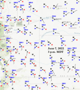
This was a bit of a wild and crazy chase day, featuring two tornado-warned supercells, a horrible muddy road with two chase vans getting stuck, and spectacular light at sunset on a tremendous updraft, all occurring west of Lamar, Colorado, near McClave. We started in northwest Kansas at Oberlin, following an absolute dud chase the previous day. The flow at mid-levels was fab with upper-level support in our favor on the High Plains, and surface flow was backed in a couple of areas. SPC splashed an enhanced slight risk, a 5-percent tornado swath and hatched hail and wind from about Chappell to Holdredge to Smith Center. Farther west, SPC showed hatched hail and only 2% tornado from Torrington to Tucumcari.
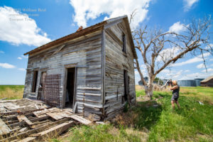
We had all of western Nebraska and eastern Colorado in play. I was NOT especially enamored with the Nebraska setup, even though it purportedly presented a somewhat better tornado chance. If I recall correctly (I really should do an audio recording of the day’s chase and forecast thinking right when I get to the motel), the Nebraska play looked a bit ugly and difficult to chase, with southeastward-moving storms in the Panhandle congealing quickly. I wanted a more-relaxed and chaser-friendly and photo-group-friendly scenario. Colorado seemed to offer this possibility. We drifted west from Oberlin, stopped near Saint Francis at an abandoned farm late morning, and I mulled over my various potential destinations for the afternoon.
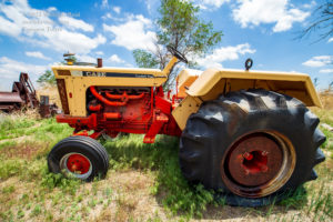
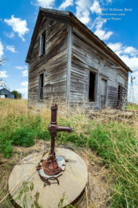
I was drawn southward from Idalia along 385 to Burlington (where we had lunch) and beyond. Very decent air with dew points near 60F was streaming northeastward through Lamar towards the Palmer Divide by early afternoon. At the same time, wind along I-70 from Siebert to Burlington was westerly (no good), while most stations in western Nebraska showed a northerly component to the wind (no good). One area to keep an eye on was NW Kansas, where winds were expected to back to easterly towards sunset. But, that area might be “anvil-ed over” by then. Instability and shear and sunshine in southeastern Colorado were calling.
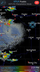
Our lunch in Burlington was fairly quick as development was in progress already, near Colorado Springs. It took a couple of hours, and finally we were in position close to Haswell (west of Eads) as a mature and very organized supercell approached.
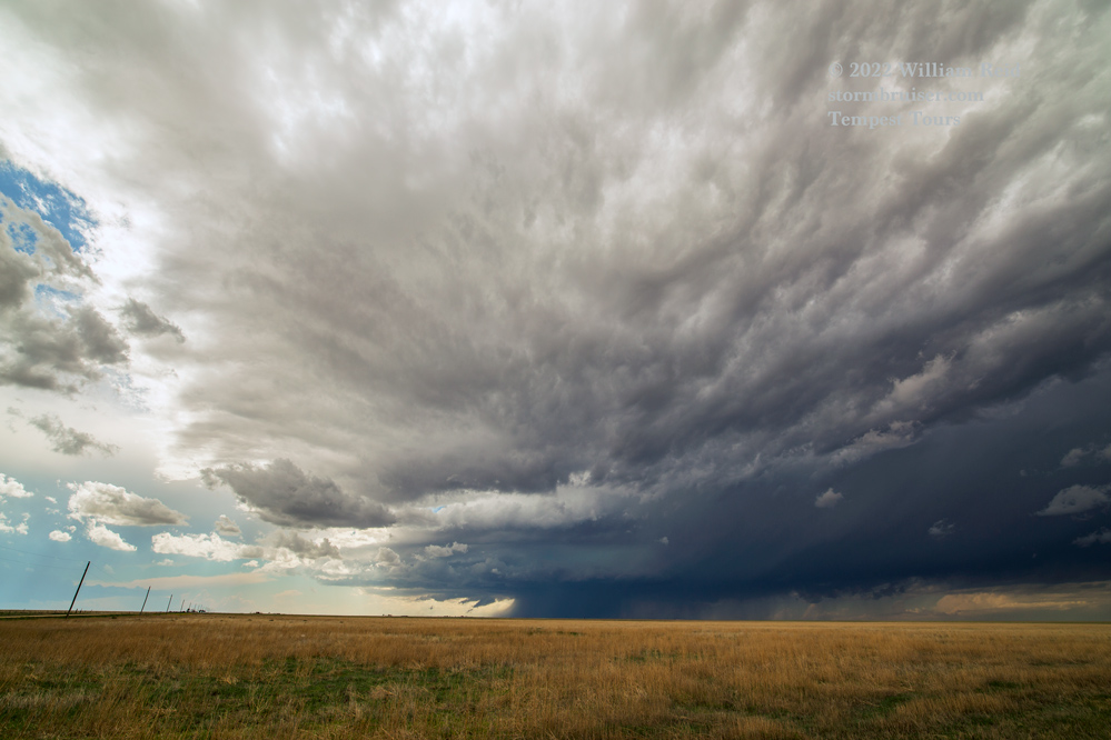
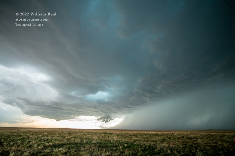
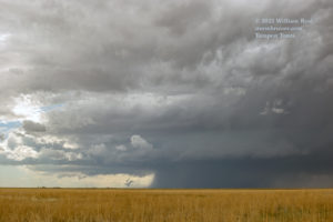
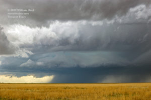
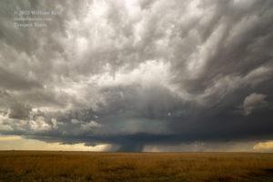
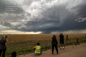
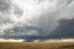
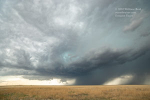
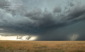
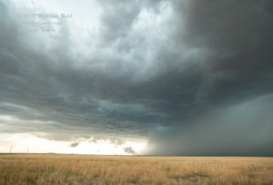
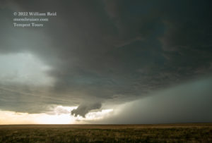
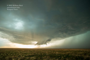
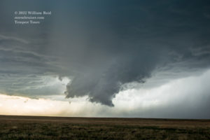
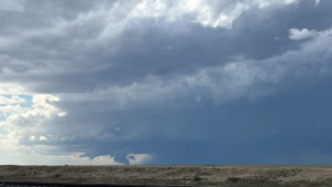
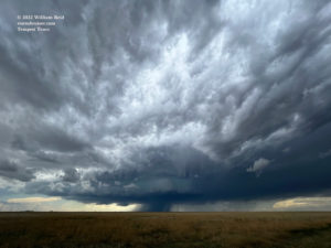
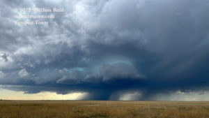
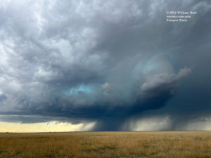
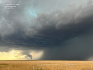
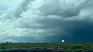
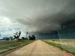
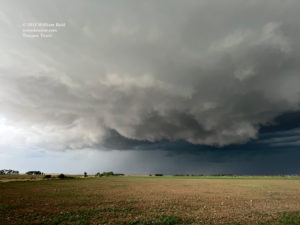
The severe storm was somewhat high-based, but was moving towards us (to the ESE) and right into that nice and juicy inflow with dew points in the low 60s. On occasion, a big scud bomb would materialize beneath the storm base, rise, and attach to make a good-sized wall cloud. The low and mid-levels of this storm showed nice structure and rotation.
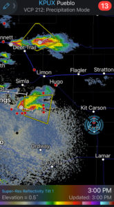
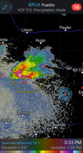
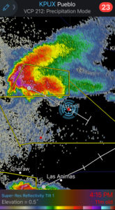
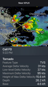
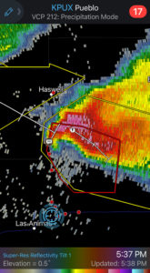
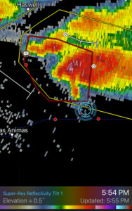
The storm moved to our north and NNE (while we were maybe 10 miles south of Haswell) and sputtered a bit as it ingested a weaker cell that came up from the southwest. But once that interference had become sorted out, the supercell got its act together and became tornado-warned. The images below were prior to the tornado-warned phase.
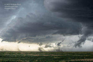
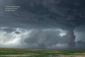
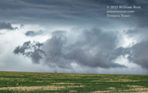
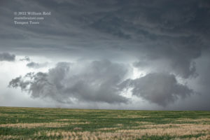
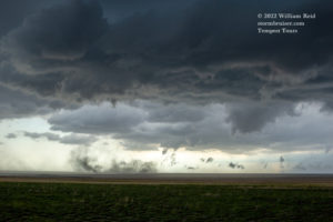
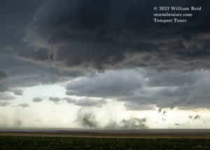
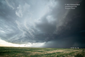
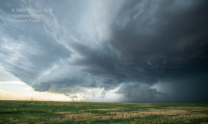
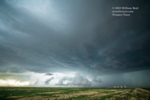
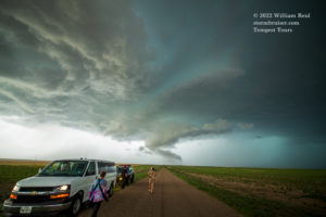
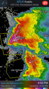
The storm was moving over a poor road network (a sparse dirt road-only network), and was aiming for the Lamar area. It was time to make sure that we were in front of it again when it neared U.S. 50, just west of Lamar. Just prior to reaching McClave, we went north a couple of miles to get a good look!
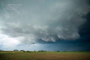
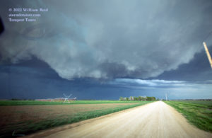
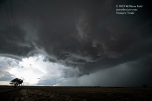
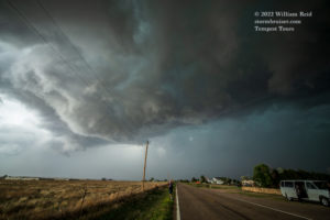
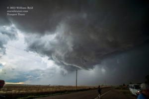
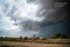
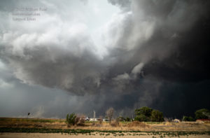
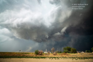
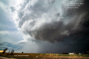
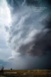
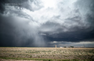
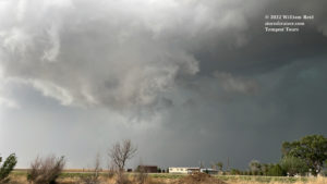
The action area was looking really good, with plenty of motion, plenty of rotation, and plenty of swirlies in the large wall cloud area. See images above, which were taken along County Road MM west of McClave and then County Road 30, south of McClave and near U.S. 50. Strong RFD wind kicked up dust as a ragged but not-so-impressive funnel cloud tried to get going. Maybe a weak tornado or two spun up while we watched, but these were very brief and just dusty whirls. McClave was spared.
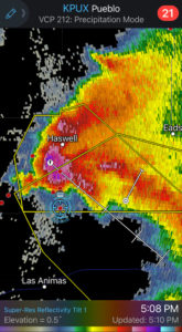
This very cool supercell continued to the southeast, with the base crossing U.S. 50 about 5-10 miles west of Lamar. I was excited about the tornado prospects in the very near future. My problem — the next paved road south to stay with this storm was U.S. 287 via Lamar. We could follow a precip core east and south through Lamar, but that would mean losing sight of the storm base for a while…while dealing with large hail. I looked at the map and saw that there were some unpaved road options south from the McClave area. Well, there was one option south, County Road 34. It was about 8 miles west of Lamar and 287, near the Bent/Prowers county line. We crossed the Arkansas River south of McClave and found County Road 34. The back end of the base of the supercell was overhead, and we had hail falling. Radar showed this current precipitation at our location and moving to the southeast. Areas just to the south were dry…
This dirt road started out just fine, despite the hail and rain. Just get farther south, I figured, and we would run out of the precip, the road would be dry, and we could stay close to this action area. Maybe we would see a tornado! Well, what we saw was more hail and rain. It seemed that this rain and hail core was determined to build southward over this road. We could only go maybe 30 mph, and after each mile the road became less of a nice road and the puddles became bigger. But radar showed dry conditions just a mile or two to the south! It didn’t matter — the rain continued, and now we were sliding around.
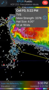
Well, to make a long and unpleasant story short, both vans became stuck along the side of the road in muddy ditches, after going about 6 miles south. The storm moved off to the southeast, never to be chased again by our group. We had to get the heck off of this road and back north to U.S. 50! We managed to get one van back on the road, and we used that one to help get the other one going again with a tow rope. It was a miracle, and I can’t thank the guides and guests enough for their help with this! I was moments from calling for a tow truck when that second van emerged from the ditch. During these moments of consternation, a second (also tornado-warned?) supercell was following the lead supercell which had muddied up County Road 34. I was concentrating on the van situation and didn’t pay much attention to Storm #2. But, it was starting to rain and hail on us before we were free. UGH.
MUD video above by Tempest guest Pat Timmons
This debacle was perhaps 90 minutes in duration. Once we had both vans back in the middle of the mud road and pointed north, John and Rob carefully maneuvered us back towards U.S. 50 west of Lamar. Storm #2 was nice enough to not sweep us away while stuck on County Road 34, and it did not hammer us with giant hail. It went just to our south. About halfway back to pavement, we stopped in the slop, got out, and marveled at the back end of this severe storm as it drifted to the southeast in the sunset light. WOW!
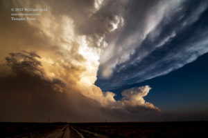
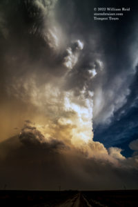
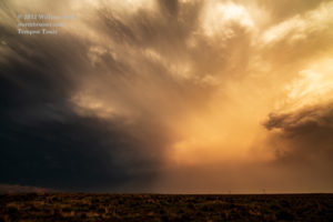
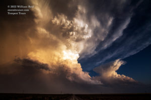

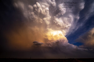
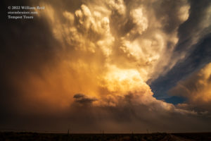
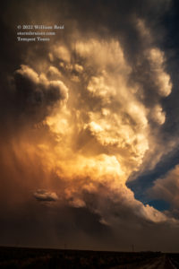
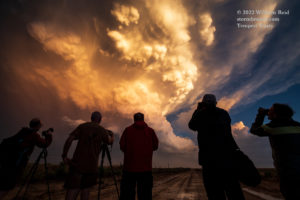
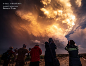
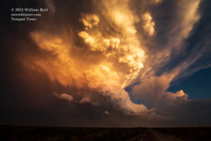
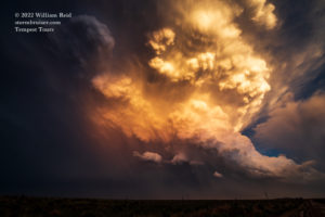
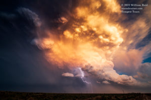
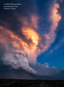
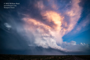
Well, that was certainly worth the price of admission! We never would have had such an amazing look at this storm at sunset had we not been stuck for almost two hours here. As for these two tornado-warned supercells that moved south of Lamar and towards the Kansas line, the first one did produce a brief and/or weak tornado or two. Apparently we didn’t miss much. Who got pics?
After our sunset shoot, we again carefully navigated the rest of the slick unpaved roads back to U.S. 50. Minutes later, I was elated to be at the McDonalds at Lamar and NOT waiting in the dark for a tow truck to come rescue two vans in the middle of nowhere.
—-
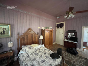
Below are a bunch of iPhone images and radar screenshots for the chase day, in chronological order, I think!

Leave a Reply
You must be logged in to post a comment.