Start: Belle Fourche, SD
Lunch: Hulett, WY at the Red Rock Cafe
End: Belle Fourche, SD (322 miles)
Van roof cam timelapse by Tempest Tours guide Chris Gullikson. Chris was with another TT group but was nearby for most of the chase. Account by guest Lesleyanne, with Chris’s group.
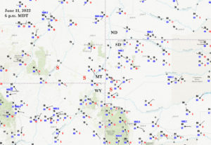
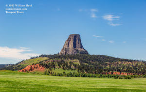
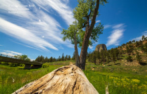
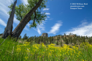
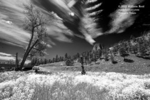
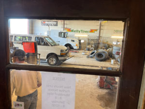
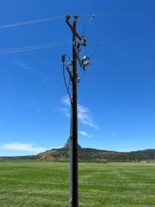
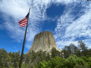
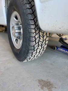
Models had been advertising a nice long-lived supercell through southeastern Montana and into western South Dakota for a day or two, and we had placed ourselves in Belle Fourche for the anticipated event. Upper-level support and shear were very good. Low-level flow turned from northeasterly midday to more ESE upslope by late afternoon. (One of the SPC maps in the mesoscale discussions above showed effective bulk shear values of 70 knots!). The missing ingredient for tornadoes today was quality low-level moisture, though dew points were close to 60F by storm time along 212 in Wyoming and adjacent areas. SPC showed a slight risk along U.S. 212, right where the models showed the forecast updraft helicity swaths. SPC also had an enhanced risk and 5% tornado in and around NW Missouri. This was in NW flow with big CAPE. A severe storm near Beatrice, NE, area tracked south and produced a handful of tornadoes, apparently not photogenic and perhaps rain-wrapped. This was more of a big wind and squall event. Since I prefer the High Plains and since the NE/KS/MO/IA play was in northwest flow (aloft) and was not an obvious “good-looking” tornado setup, I had opted for this Belle Fourche-area target. We had plenty of time to kill, even after spending a couple of hours in the morning at the van repair place for two new tires. The first stop was Devils Tower, less than an hour west of Belle Fourche.
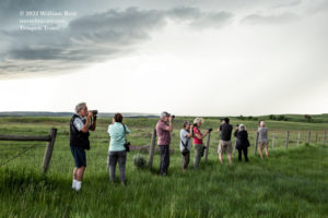
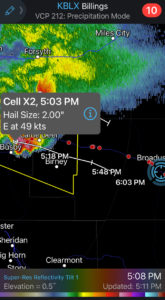
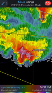
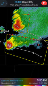
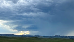
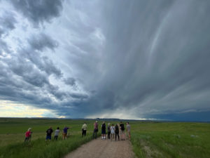
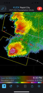
By mid-late afternoon we had our convection organizing right where the models had predicted, above the empty prairie land well west of Broadus. Fortunately, United States highway builders have furnished the perfect highway for these setups: U.S. 212. We went north from the tower (Rapunzel) to Alzada, WY, and then WNW on 212 into Montana and to Broadus. I found a hilltop a few miles south of 212 (near Broadus) and we watched TWO supercells strengthen as they approached. One was to our W or WNW, just south of 212. The other one was more to our NW, on the north side of 212. Eventually the south one became the dominant storm as they neared Alzada.
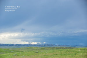
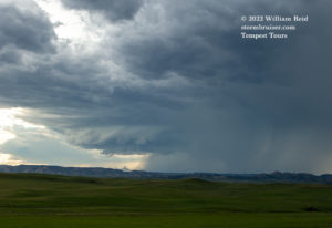
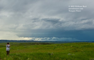
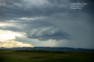
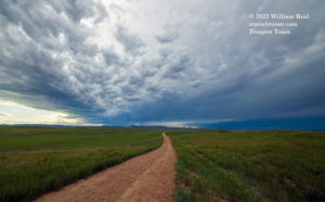
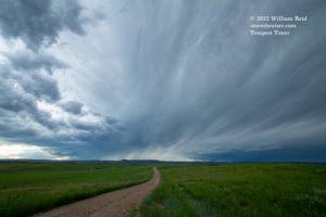
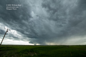
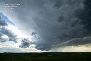
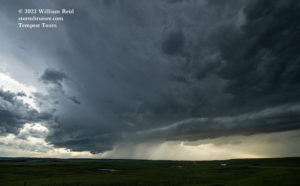
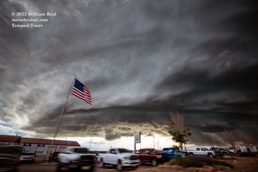
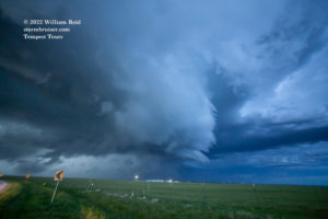
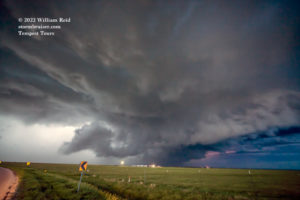
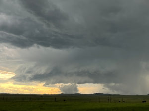
The south supercell sported a rather impressive wall cloud on occasion. For a while, a dusty area was kicked up beneath a protrusion of some sort. It was suspicious for sure, but probably not tornadic.
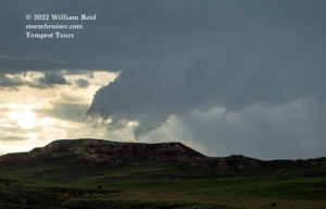
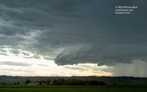
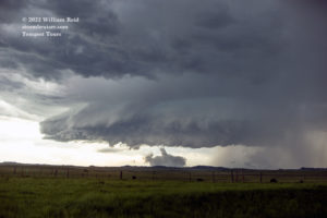
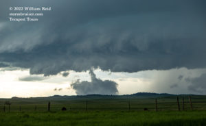
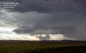
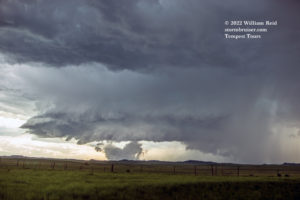
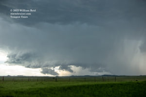
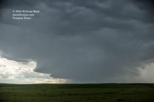
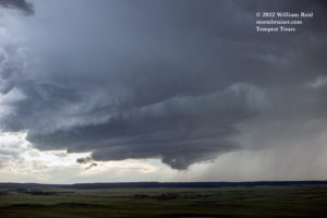
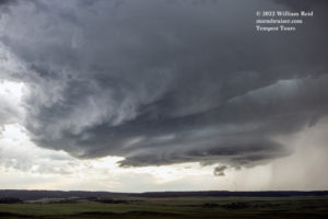
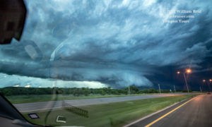
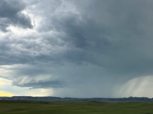
This southern supercell was tracking to the ESE, just south of 212, which headed more to the SE through Alzada, WY and beyond to Belle Fourche. The highway would put us right in front of the storm — YAY! The low-level structure took on more of a laminar look, and frequent lightning activity around the base almost made it too dangerous to exit the van. These images below were fairly close to Alzada.
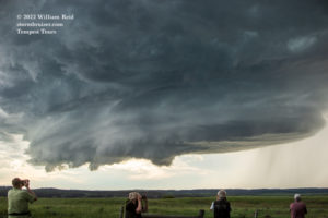
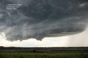
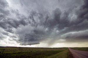
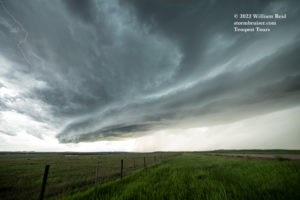
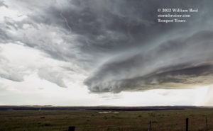
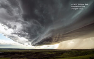
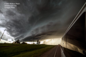
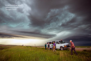
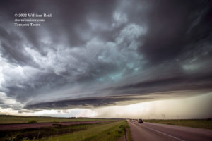
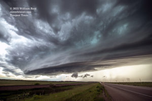
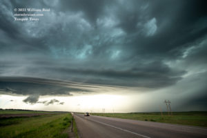
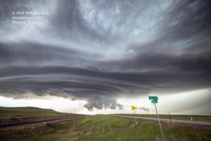
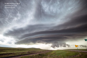
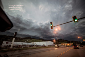
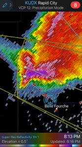
We stayed ahead along 212 to Belle Fourche, and the structure continued to improve and impress. Big hail was coming to town!
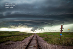
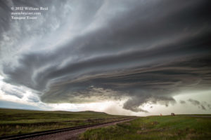
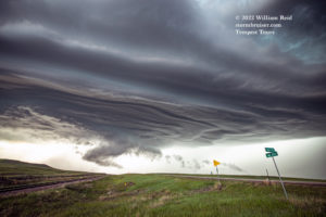
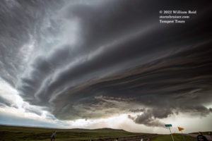
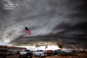
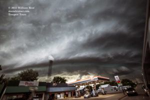
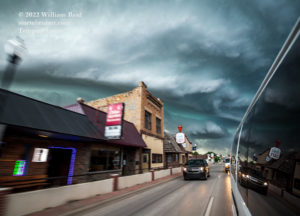
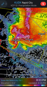
At the junction with U.S. 85 on the north side of Belle Fourche I had to decide whether to continue to the east on 212 or try going a little south and southeast, via Saint Onge to Sturgis. Since the storm continued to the ESE, it seemed that the S and SE option was more prudent. But, the fast speed of the storm and this longer route put us out of position for the rest of the daylight hours. The area hills and trees were causing consternation, too. We stopped east of Sturgis a bit to shoot the cell, but it didn’t look quite as good from this perspective. The storm continued to the ESE and wreaked hail and wind havoc upon parts of western South Dakota well into the night. We turned around at Sturgis and headed back to Belle Fourche.
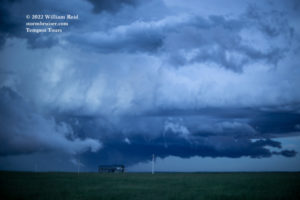
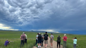
iPhone images and radar screenshots below.

Leave a Reply
You must be logged in to post a comment.