Start: Belle Fourche, SD
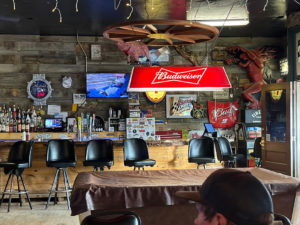
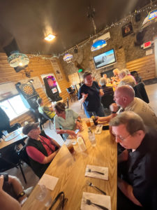
Lunch: No. 3 Saloon in Buffalo, SD
End: Lemmon, SD (390 miles)
Time-lapse of the Belle Fourche storm by Chris Gullikson, who was west and then south of Belle Fourche with the other Tempest Tours group. Chase account with this group by Lesleyanne.
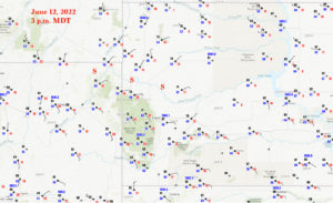
This chase day was not TOO dissimilar from the day prior, and once again we were in good shape at Belle Fourche. Fast WSW flow of 60-70 knots at 500mb was sweeping into northeast WY and western SD. Low-level flow was again upslope, with a W-E front near Belle Fourche during the early afternoon. Dew points were several degrees F higher than the day prior, with Rapid City at a healthy 68F. SPC had an enhanced risk with a 5 percent tornado swath through Belle Fourche. So what do I do?
I go north to Buffalo, SD, for lunch. (Buffalo is about 70 miles north of BF.) Models and/or something were pulling me north from Belle Fourche a little…I can’t recall exactly what that was all about. I actually liked the area about halfway between Buffalo and Belle Fourche, but eateries are not available until Buffalo. After lunch, it was apparent that we needed to be back south near that boundary. CAMs (convective-allowing models) had a pretty good handle on today’s storm proceedings. A nasty supercell or two was/were expected to track quickly to the E or ESE out of northeast WY and towards Belle Fourche. The projected fast motion of the storm(s) was going to make chasing and staying with a severe storm difficult. Did one want to be on a developing supercell in the mountains around Devils Tower that was moving 45 mph? Probably not. I figured that the best strategy was to wait somewhat close to the WY/SD border, where the road network improves slightly, the terrain is much better (as long as the activity stays north of the Black Hills) AND where low-level moisture was a lot better. SPC wording was slightly bullish on the tornado chances, and I thought that it would be prudent to be patient on the SD side.
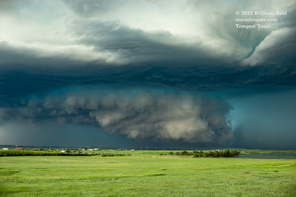
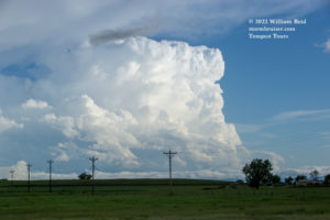
A supercell developed on schedule in northeastern WY, and we motored south to the Newell area to watch it approach. We stopped between Nisland and Belle Fourche, at the south end of the Belle Fourche Reservoir (along U.S. 212).
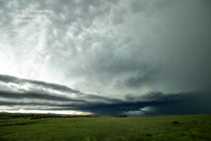
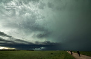
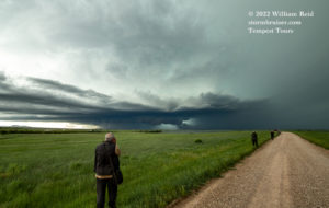
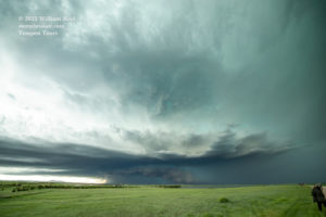
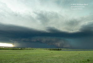
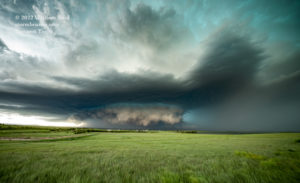
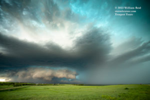
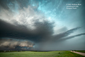
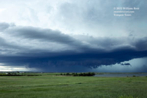
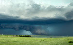
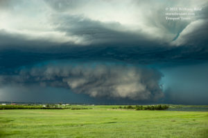
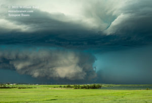
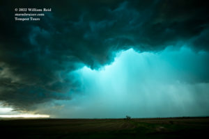
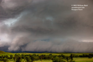
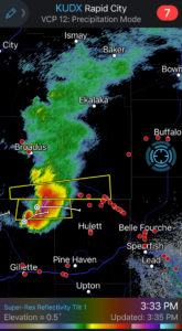
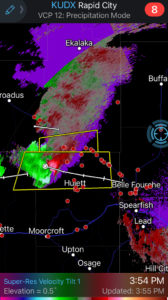
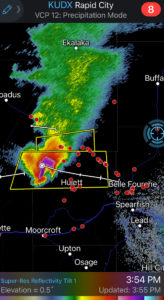
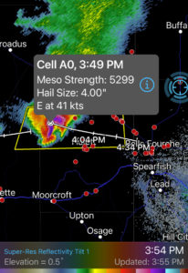
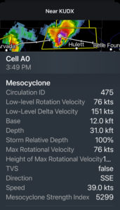
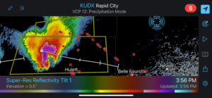
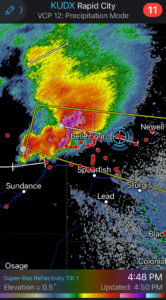
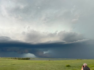
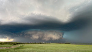
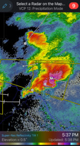
The supercell was a little south of due west. A very beefy, very large and ominous wall cloud developed beneath the very aqua-colored storm base! Those colors are accurate. I didn’t see a whole lot of rotation in this wall cloud. I believe that the storm was tornado-warned at this time, when it was at-or-near Belle Fourche and was causing plenty of damage with its large hail and strong winds. Many west-facing buildings in town were hammered. Unsurprisingly, the storm, which developed in air with mediocre dew points, was a little outflow-ish and/or undercut by its own cold air as it reached South Dakota. Tornado prospects were very minimal by the time the cell moved into the decent low-level moisture. We were able to watch it approach this position for perhaps 25 minutes, and were then chased to the east. At Highway 79, south of Newell (about ten minutes to the east), we had to high-tail it southward in order to get out of the way of the hail core.
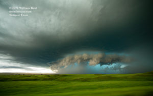
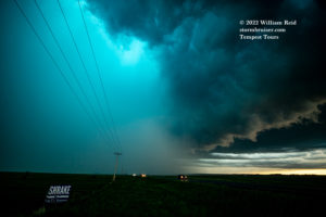
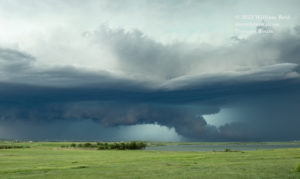
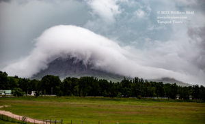
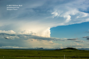
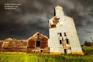
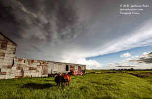
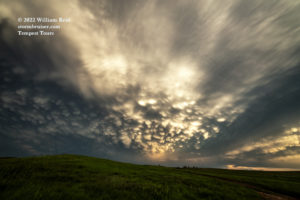
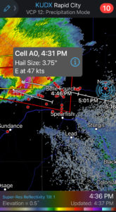
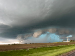
We barely cleared the fast-approaching, nasty and wet and hail-filled RFD and stopped near the northeast side of Bear Butte. Of course I wanted to edge back into the core to see what was happening. We went back north and stuck our nose into that, got hit by some big stones, and went back south again. This supercell was moving much too fast to stay with, and getting back in front of it was not going to happen. A follow-up storm was observed near Sturgis. It was probably riding the cool outflow boundary left behind by the first supercell. It had some cool low-level features (4th photo below), but was otherwise a cold-looking and barely-interesting storm.
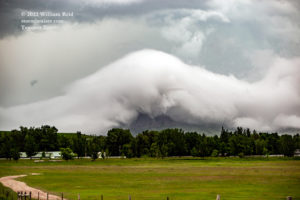
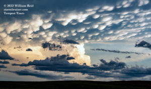
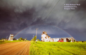
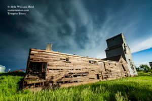
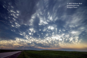
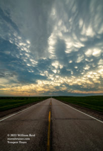
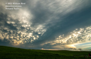
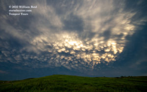
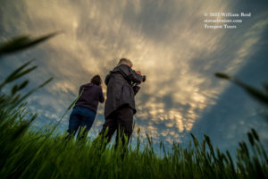
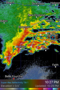
Additional activity was developing in northwestern South Dakota, so we headed back to Newell and then ENE on 212. The storms observed were not severe, but the skies were darn pretty. Check out the laminar fog bank covering Bear Butte, the rainbow at Newell and the mammatus near Maurine.
Below are iPhone radar screenshots and pics.

Leave a Reply
You must be logged in to post a comment.