
Start: Lemmon, SD
Lunch: Chinese Garden in Lemmon
End: Rapid City, SD (360 miles)
Chase account by TT guest Lesleyanne, who was with Chris and the regular Tempest group.
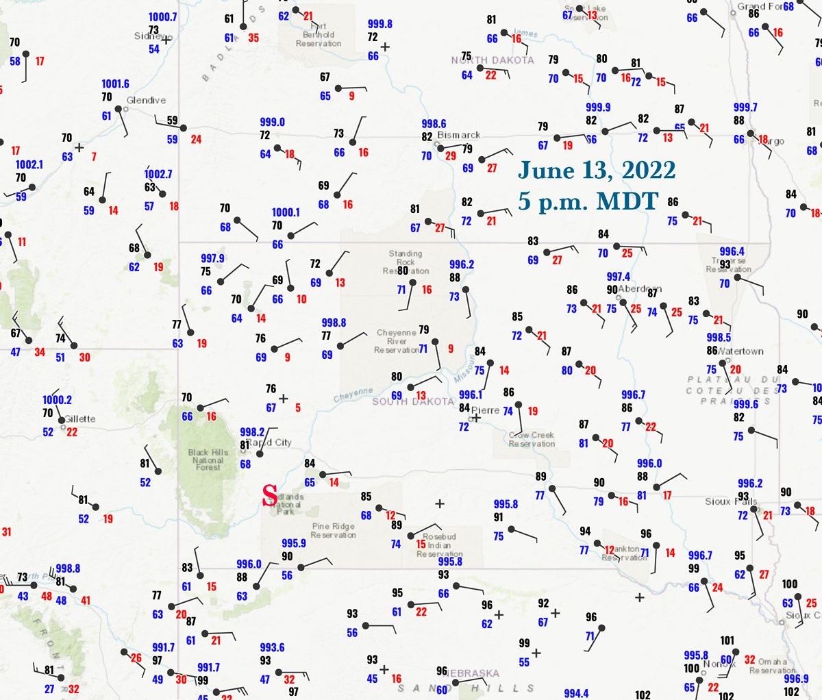
This chase day was a little bit unusual in that there was little activity worth chasing until the sun went down. SPC had the better tornado risk numbers (5%) up in ND. We started on the SD/ND border at Lemmon and could easily chase that area, but like a couple of other recent chase days I was not enamored at all with the chase prospects in the higher tornado risk area. (And like the other days, the decision wound up to be a reasonable one!) I liked western South Dakota again, where SPC showed a hatched hail area. I think the ND play wound up being an evening fast-moving squall event. We drifted south, visited the Hoover store (always a must-stop shopping place), and then were scooting back and forth in the Newell/Sturgis area during what is typically prime-time severe storm time. Nothing was really happening. We waited for favorable upper-level support, and I wondered if this day would wind up a big dud or not.
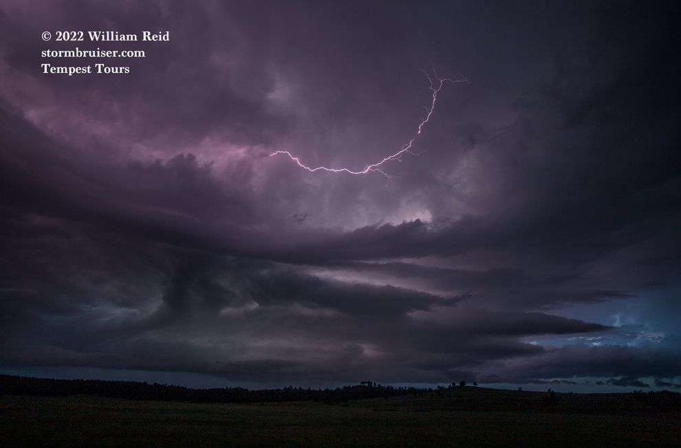
Finally, some stronger activity developed towards the south end of the Black Hills. We headed that way and stopped to try some lightning photography of a wet storm near Fairburn on Highway 79. Mediocrity prevailed. This activity was still rather high-based and unorganized.
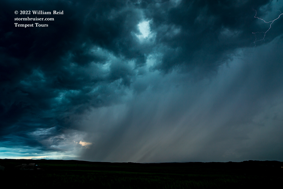
As the light of dusk faded almost completely, a nearby cell decided that it was time. It threw a 4-inch hailstone on Buffalo Gap, not too far to our south. We found ourselves amidst some tremendous smooth-channel CG lightning strikes — much too close to get out and photograph! And, storm cores with hail were advancing upon us. We got a little out of the way, stopped somewhere to watch the lightning, but rain kept us inside the van. This severe storm was moving rather quickly to the ENE, and our road network was not conducive to staying close, much less staying ahead of it or in proper position on it.
Chris and the other Tempest group were waiting along I-90, east of Rapid City. They were able to watch the nice supercell approach I-90 somewhere around Wall. They eventually had to take shelter from large hail under an Interstate bridge east of there.
Sorry — not many pics from this chase day!
Leave a Reply
You must be logged in to post a comment.