Start: Rapid City
Lunch: Subway at Winner
End: Hays, KS (637 miles)
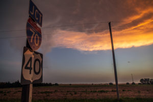
I-90 to I-70. The day started out as a position day to get to Wisconsin for the next day’s tornadic supercells. As I looked again at the prospects in Wisconsin for June 15 while rolling east through South Dakota, my mood soured. These would be fast-moving, low-based storms in the hills and trees. I was leading a photo group, and that type of chase was not conducive at all for us. There was a risk of severe in KS and NE today, the 14th. At Winner, I elected to blow off the Wisconsin play and to try for something late in the (current) day down south.
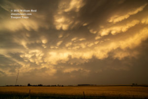
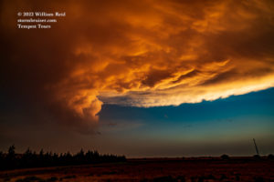
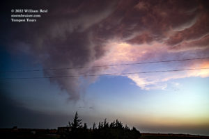
The best target area looked to be the Red Cloud, NE, area…but models were indicating that storms here would be late to form. As we neared the NE/KS border not far from Red Cloud, a good-sized storm in KS beckoned. I had to decide whether to go for that one, near LaCrosse, or wait here near the border. I went south, and as we neared the storm (now closer to Hays), it fizzled. Back to the northeast, some towers were building near the KS/NE border, right on schedule.
So, it might have been better to be patient and to wait for the evening development. More than a couple of tornadoes occurred after 10 p.m. in southeastern Nebraska.


On the 15th, I called it a down day as we were not chasing the decent tornado risk in Wisconsin. I failed to recognize a possible play in eastern Kansas, which Chris and company chased. They wound up on a very pretty and isolated supercell near Olpe. Our group visited Monument Rocks and a barn at Rago with farm animals. But not in that order. Start: Hays, lunch: DQ in Wakeeney, End: Wray, CO. Did we miss much in Wisconsin? I saw one warning which said the tornado was moving northeast at 75 mph! No thanks.

Leave a Reply
You must be logged in to post a comment.