Start: Lemmon, SD
Lunch: Alaska Cafe in Lemmon
End: Ainsworth, NE/500 miles
Not all of these mesoscale discussions were really pertinent to the chase areas that we wound up in, but I include them all as I had to consider most of these areas for the chase target. And, many of these show cool maps that help us see what was going on! 1235, 1237, and 1241 are most pertinent to the storms that we chased today.

Chase account by Tempest guest Lesleyanne
We woke up on the SD/ND state line at Lemmon, and by 1630Z SPC was splattering much of the eastern Dakotas with hatched this, hatched that, hatched Easter eggs, 5 percent tornado risk in SE ND, enhanced risk, just an hour or two to our east — woohoo!! The most vulnerable area seemed to be along a front/surface trough from about Aberdeen to Fargo. Wind west of the front was decidedly northerly, with S-SSW winds on the east side. Dew points were in the mid-upper 60s west of the front and upper 60s-low 70s on the east side. Following the late-morning “lunch” at the Alaska Cafe in Lemmon, I elected to drift south and SSE a little bit into central South Dakota. I wasn’t buying into the tornado threat to the east, at least yet. There was a new mesoscale discussion for NC SD, right where we were. But winds here were northerly. Nothing but ho-hum cloud towers developed out of this. By about 2 p.m. I had to decide on where to go! Severe weather parameters were about as good for south-central SD as they were for the 5 percent tornado risk area to our east. I wasn’t seeing any backed winds for the play to the east, and I wasn’t interested in getting dragged well into Minnesota for a storm with little tornado potential. I elected to continue to the south to I-90. This “play” was practically a sure bet for severe weather, as development in NW Nebraska would sweep northeastward into SC South Dakota towards late afternoon.
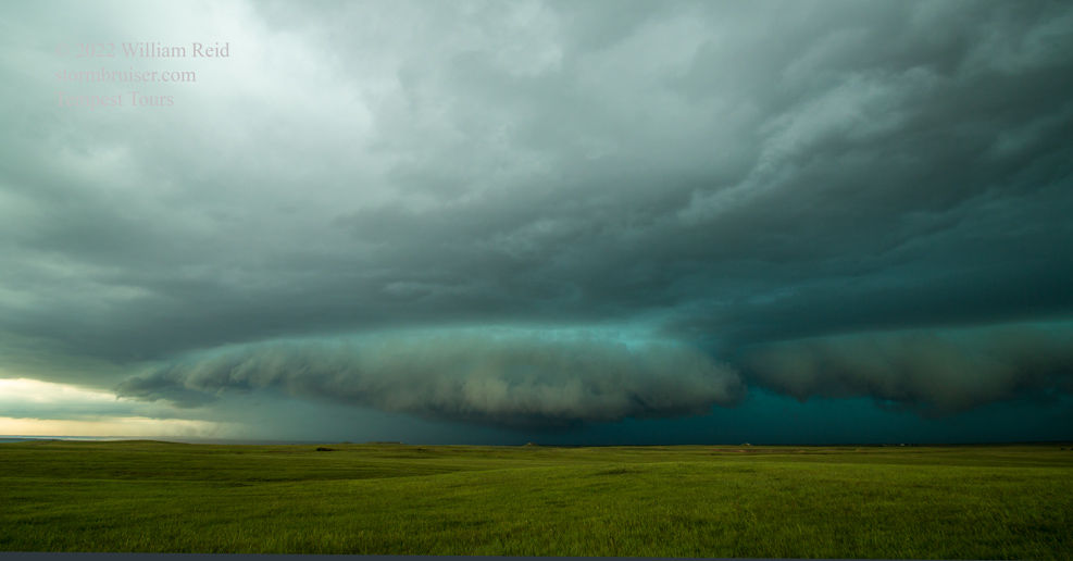
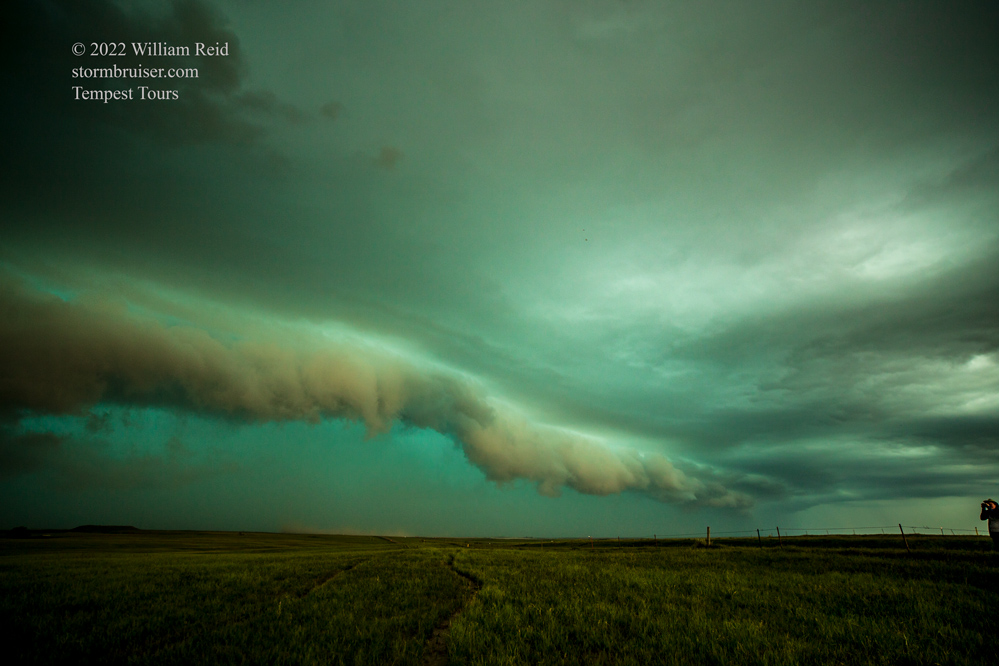
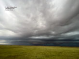
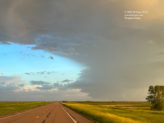
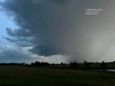
We scooted a little west along a frontage road just south of I-90 in the Belvidere area, while radar showed some strong stuff headed our way from the southwest. We set up tripods and soon had some interesting green and “shelfy” low-level structure advancing upon us.
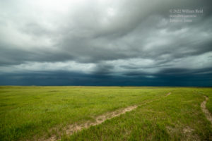
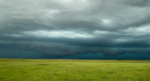
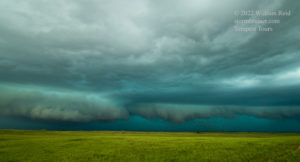
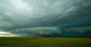
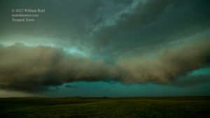
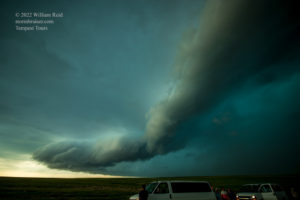
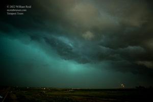
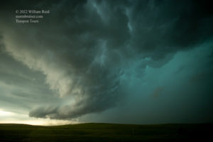
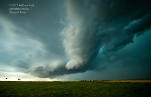

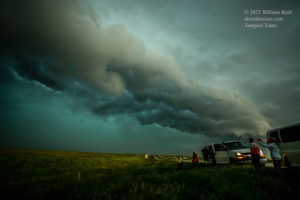
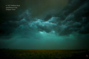
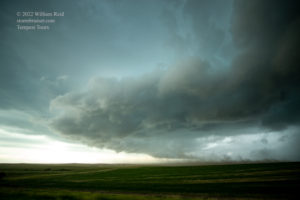
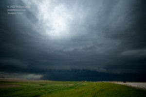
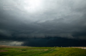

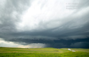
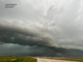
The squall was moving rather quickly, so we had to blast east on I-90 once or twice to stay ahead. I think that the pics above cover at least a couple of stopping places. Below are more pics from the same area, different camera.

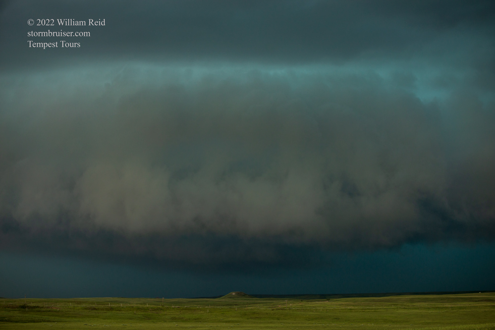
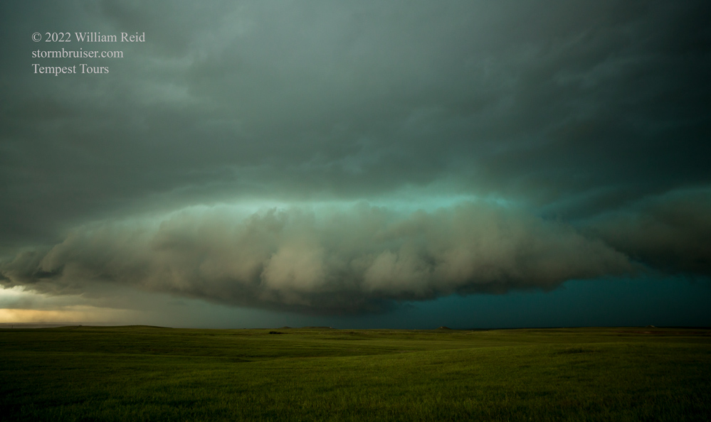
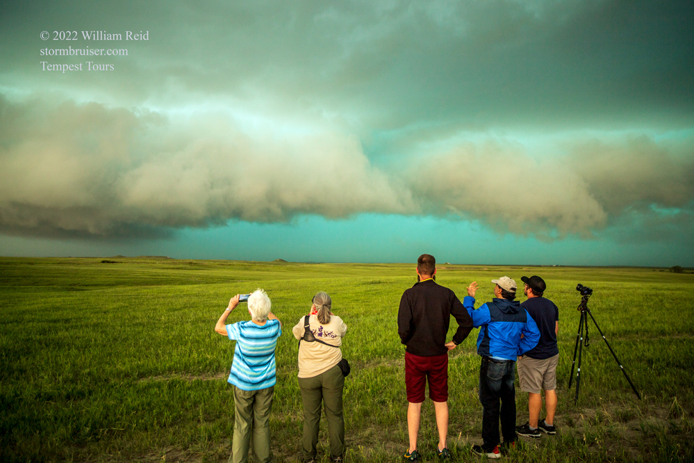
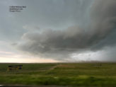
At one point, west of Murdo, the activity right on our tail was tornado-warned. Some parts of the squall were trying to wrap up a little, and one big and beefy lowering looked rather ominous. But we saw no tornado. There were the typical little swirls in the fingers of the clouds with maybe some dust beneath. See radar pics in the iPhone pics section at the bottom.
This squall was surging to the northeast through Murdo, and I let it go. It was moving too quickly and the road network was not conducive to staying in front of it. There was a nice isolated storm now moving to the east through Cherry County, to our south! Let’s check that out! This Nebraska supercell was throwing out some very large hail, and we needed to get there. But we would have to spend about two hours blasting south and southeast in order to get in front of it (via Winner and Highway 18 in SD). The cell was content to move almost due east. Any northward component would have helped us immensely, but it wasn’t happening. And it was moving too quickly to the east, too. Aren’t June storms in the Sandhills supposed to just saunter along?
Finally, near Naper, Nebraska, we had a semi-decent view of the cell, still to our south. We could see a nice flanged base and some upside-down wedding cake structure. This was going to be great! At Naper, we headed east and southeast to Butte, Nebraska, in Boyd County. This was the precise moment that the storm started a rapid decline in intensity. GREAT SCOTT. In very short order, there was little left of it. We made our way west to Ainsworth for the night.
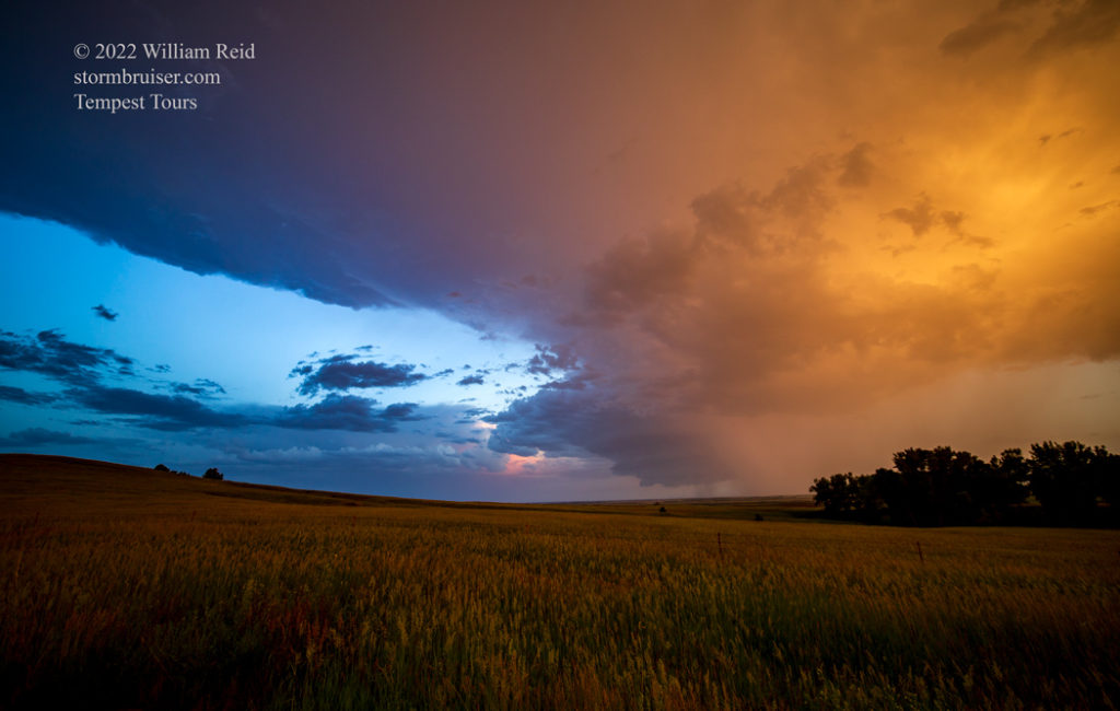

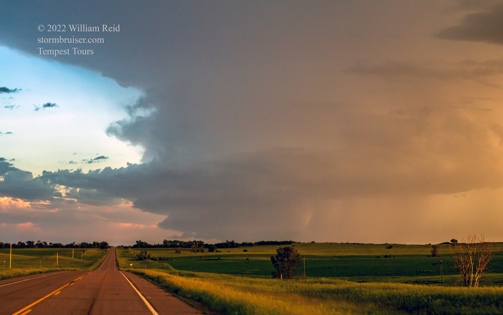
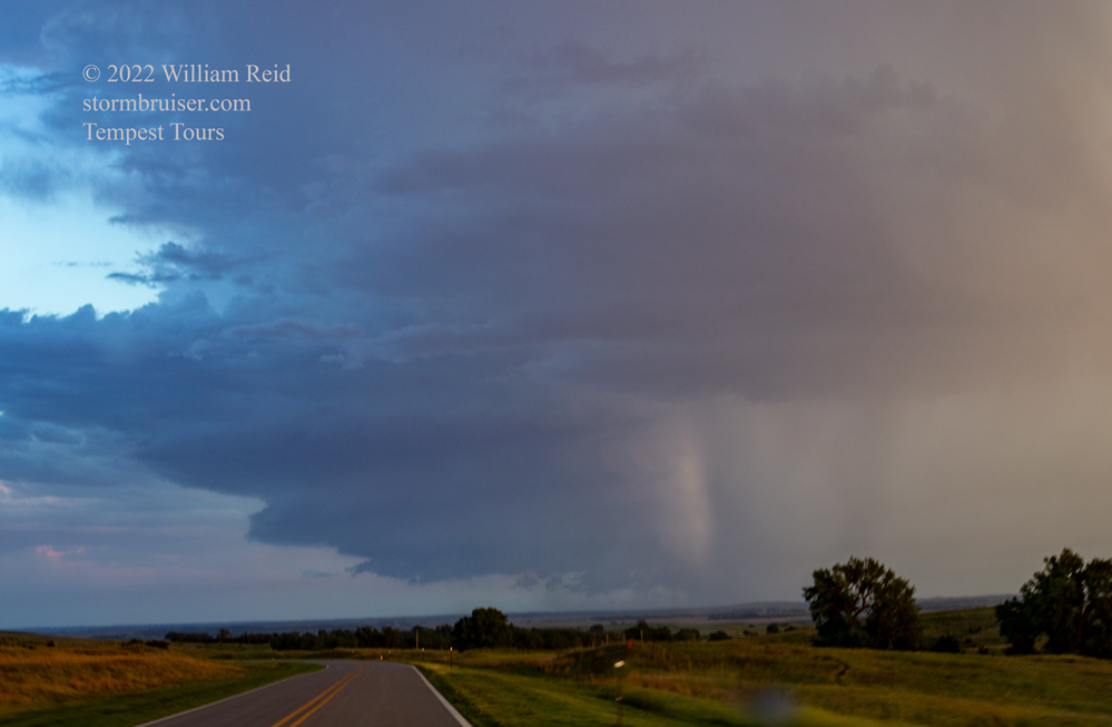
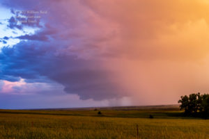
It turned out that the decision to stay south and west and to blow off SPC’s 5% tornado area was not a bad decision. SPC storm reports show a brief/weak tornado or two in both SD and MN. And wind, too! Who has pictures of these? Anyone? This northern Nebraska storm was probably the one to be one for chasers today, but few were.
iPhone pics and screen grabs below…in chronological order.








Leave a Reply
You must be logged in to post a comment.