Start: Dodge City, KS
Lunch: Wakeeney, KS/Tropical Mexican Cafe
End: Salina, KS
259 miles
Time lapse GoPro footage of the supercell by Chris Gullikson. Chris was leading the alternate “photo” contingent for Tempest Tours. He and his group were generally within a few miles of me and the “regular” Tour 7 group.
Video by TT guide Tom Trott (who was with the group above with Chris G.) Tom got a superb look at the lifespan of the second (ropy) tornado near Dorrance.
Video by TT driver/guide Matt Phelps of the tornadoes near Dorrance and Wilson/Sylvan Grove

Pertinent SPC Mesoscale Discussions below:
Morning forecast discussion by Trey Greenwood
(The video above by Trey Greenwood includes the maps and information that I and most chasers peruse on the morning of a chase day. This discussion was presented around 1430Z, or 9:30 a.m. CDT, which is about the same time that I provided my morning weather briefing to the tour guests.)
Chase account by Tempest guest Lesleyanne, including a fantastic time lapse of a big wall cloud before the tornadoes and great CG images with the wall cloud
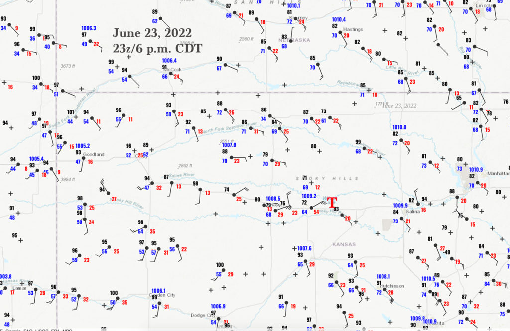
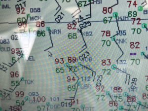
The chase month of June 2022 was dismal with regard to tornadoes on the Great Plains. Thankfully, the weather gods smiled on us on June 23 in Kansas and we observed a handful of brief tornadoes. Our Tour 7 group left Dodge City and headed to Wakeeney for lunch. SPC drew a slight risk from about I-70 in NC Kansas northward into SW and SC Nebraska. A 5% tornado area and a hatched hail area covered most of NC Kansas. Mid-level winds from the WSW were forecast to increase some and be adequate in strength for shear and severe. By early afternoon the surface map showed a fairly obvious triple-point in the vicinity of Wakeeney. The 20Z surface map (above) shows hot and dry southwesterly winds at Oakley and Scott City, warm and moist southerlies around Great Bend, and warm-to-mild and moist ESE winds from Russell to Salina. Surface moisture convergence was maximized around the Wakeeney to Hays area, and if a storm were able to develop here, instability and shear were excellent for supercells. A supercell moving into those ESE winds along I-70 should have a base low enough to provide a decent tornado risk, as the temperature/dew point spread at Russell was only 14 degrees (86F/72F) at 3 p.m. CDT.
After lunch at Wakeeney, we walked out to see some storm towers already developing nearby. The tour director didn’t have to do much thinking as to where to go, because we were there! This early development was high-based and weak, but it was drifting eastward towards those fabulous and moist ESE winds that were just east of Hays. A handful of cells showed some organization between Hays and Russell (last three images below).


We positioned east of Russell, stopping briefly for a pit stop at the Bunker Hill exit along I-70 (eight miles east of Russell). This N-S road looked perfect to observe the approaching cell, which now showed some decent low-level rotation. I had Rook and Matt stop a mile or so north of Bunker Hill. The developing severe storm was due west of us here.
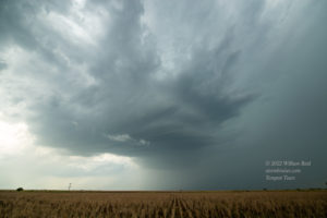
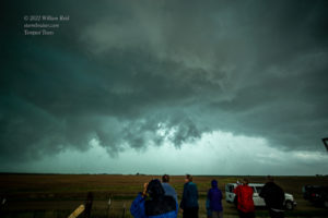
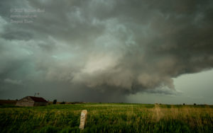
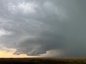
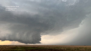
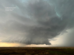
The images below show a dramatic change in the storm base in just 10-15 minutes time! A large and very beefy wall cloud quickly developed. The wall cloud hovered closely above the ground, and the storm structure was splendid! During this timeframe, CG lightning strikes were frequent in and near the storm base and in the precipitation area to its north. These pictures are views to the west.
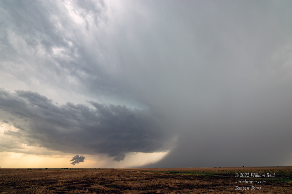
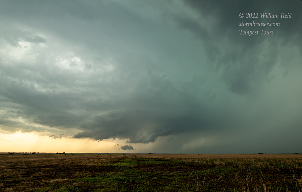
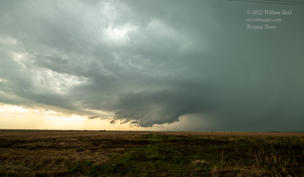

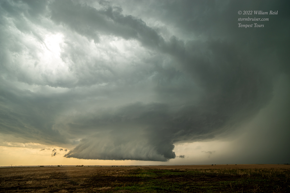
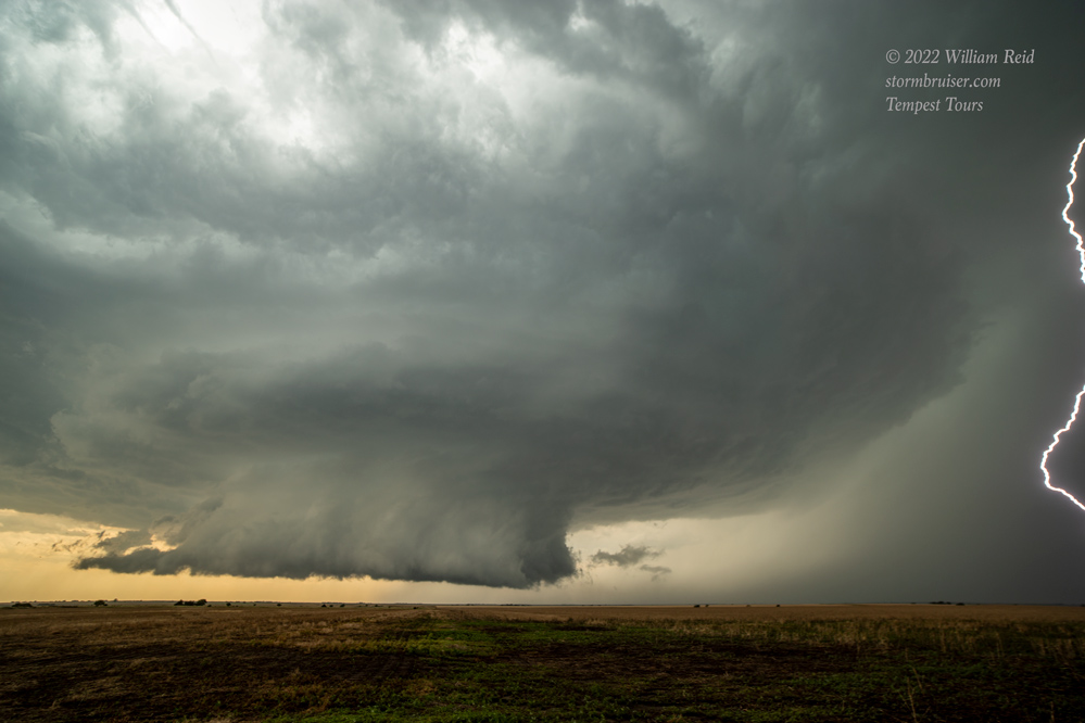
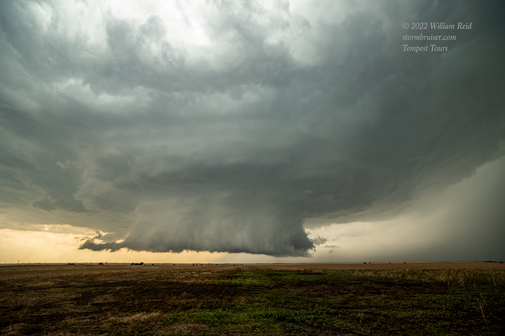
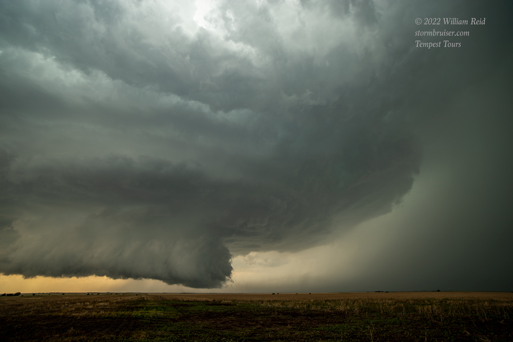
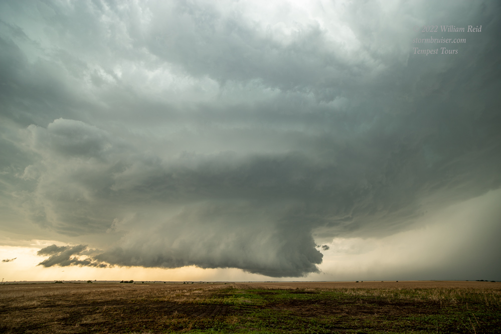
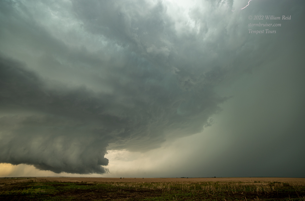

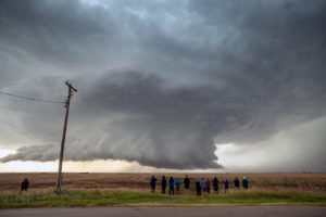
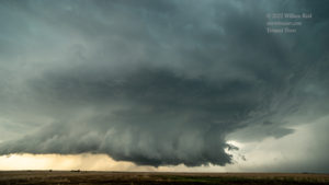

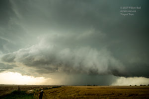
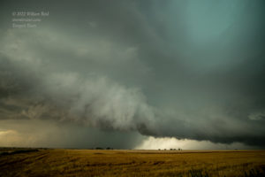
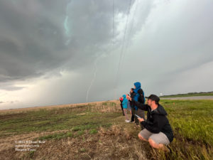
I was rather nervous at this point and time: not due to any tornado or hail threat, but due to the nearby lightning. But, the strikes remained more than a mile or two away, and we hung tough beneath the hopefully strong lightning protection afforded by the electrical wires. These are video stills below.

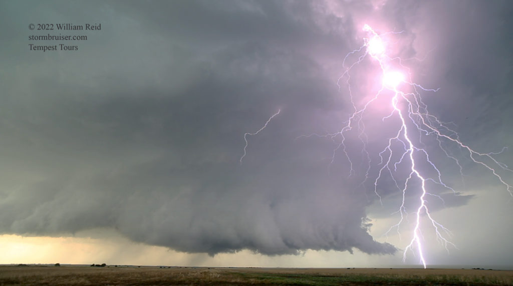
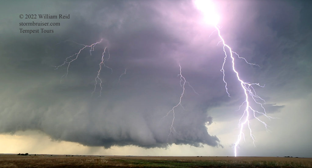
The wicked scene to our west was amazing, and I think the storm was tornado-warned about this time. But, prominent low-level rotation was not apparent as yet. I would not have been surprised to see a little spin-up or two beneath the beast, but we would have to wait a little longer for that. At our location east of the wall cloud, light rain was occurring and a cool wind was from the ENE. I think that this cool-ish inflow of somewhat stable air was at least a little detrimental for tornado-making at this time.
The images below start with views of the low-level structure to the W, NW and N. I wound up taking the group north a little farther (still north of Bunker Hill) towards a new wall cloud which sported some rotation (4th image). I think the next wide-angle images came a little later (near Dorrance) and then there are the tornado images with the zoom lens. When we were north of Bunker Hill and watching the wall cloud, the storm looked ready to produce a tornado. But, this action area was moving away to our ENE, and it was getting wet and windy. We headed back to I-70, less than two miles away, and then went east to get back in front. After only a mile or two, an impressive and blocky wall cloud was visible to our north, and a tornado quickly formed. We stopped, and the tornado ended. I did manage to get those images below, looking due north. On the GoPro video by Chris (linked above), who was on the frontage road just south of I-70 and another mile or two to the east, this tornado forms around the 7:35 mark. SPC storm reports has this tornado at 2225Z (5:25 p.m. CDT) and 3-5 miles northeast of Bunker Hill, which seems about right. I don’t think that it lasted much more than a minute. It is a little odd, perhaps, that most of the low-level clouds visible in Chris’s video are generally moving towards the SW around the time of this 2225Z tornado.
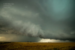
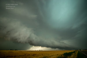
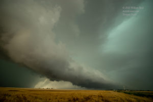

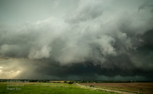

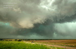
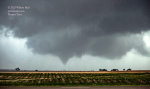
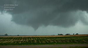
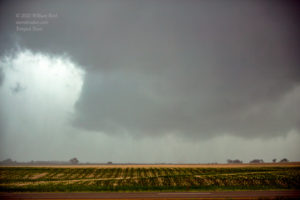
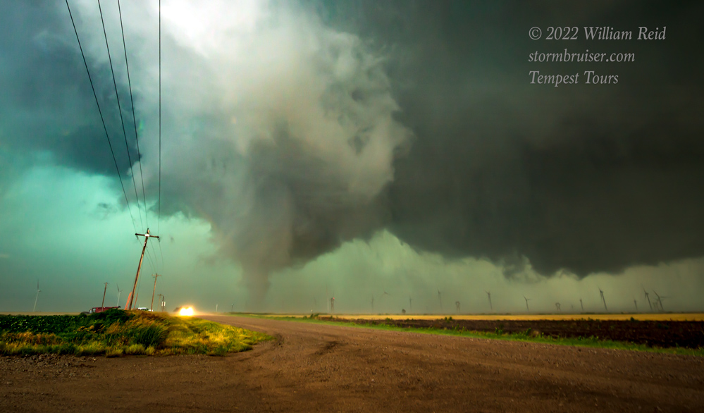
I wasn’t keen on staying put along the Interstate, so we continued the 5 miles or so to the Dorrance exit and utilized old Route 40. In Chris’s video, the circulation associated with the first tornado approaches with some nice rotating rain curtains. We stopped somewhat briefly near Dorrance (images 5 to 7 above), and then continued to the west side of Wilson (passing Chris and company). Right after the left turn onto 1st Road, a new ropy tornado was visible and in progress to our west. Again we jumped out of the vans, and were allotted perhaps a minute of tornado time before the thing disappeared. I managed some wide-angle shots (below, one heavily cropped) and then ran back to get the camera with the long lens. The tornado was done when I looked through the viewfinder again.
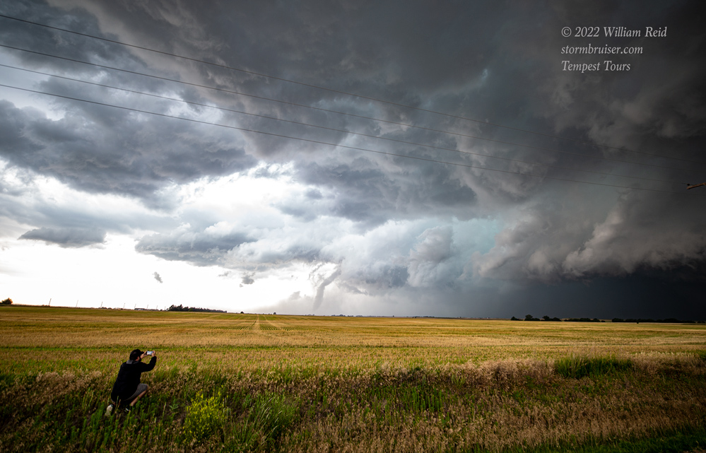

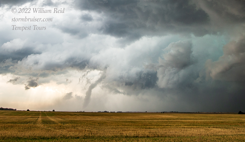
If you go to minute 9:00 in Chris’s timelapse YouTube video (shortly after tornado #1), you will see impressive broad rotation in the storm base to the WNW as it approaches the chasers (and traffic) along I-70. It would appear that at least a couple of tighter areas of rotation in this base are tornado candidates, but nothing obvious touched down. The somewhat wet RFD arrives and the group heads east. At a stop between Dorrance and Wilson (12:00 minute mark), the camera is pointed to the NW or NNW at the leading part of the storm base. My TT group passes Chris and company at the 12:09 mark, and at 12:28 Chris is pointing west towards the new ropy tornado. The photo by Chris is below.
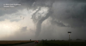
The NWS shows that this one occurred at 2254Z (5:54 p.m. CDT), one mile northeast of Dorrance, in Russell County. Apparently this tornado #2 was courtesy of that older (mostly rain-wrapped?) meso that also spawned the first tornado. It emanated from a part of the storm which seemed less of a tornado threat at the time, at least from our viewing locations. See Tom’s video for the best documentation of its lifespan. (Note: the N-S Russell/Ellsworth county line is between Dorrance and Wilson).
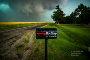
The main action area still looked to be just north of I-70. We headed east the four miles from the Wilson exit to the next exit (exit 209, which heads north to Sylvan Grove), and then 1.5 miles north to the Soukup farmhouse on N 60th, now in Lincoln County. (Chris and company moved well ahead of the supercell about this time for a look at the storm structure.) The first four images below show a prominent lowering to the north near N 60th. There was rotation for sure, but if something touched down then it was quite weak. The 5th image below was taken 15 minutes after the 4th image, and I think we had edged a little farther to the north for a closer look. A different action area (versus 15 minutes prior) was approaching N 60th. We hung in here long enough to see the Tornado #3, which was a a mile or two to our north. I jumped outside and braved the wet, westerly RFD winds to get some wide-angle shots. I had to crouch in front of the van to avoid getting soaked. See the last 8 or 9 images in this group below.
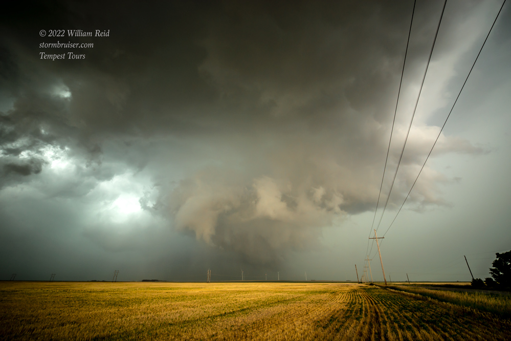
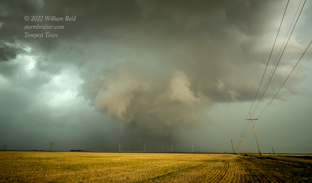
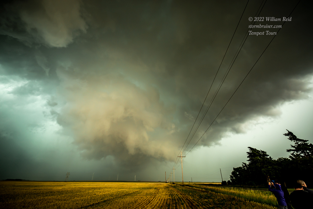
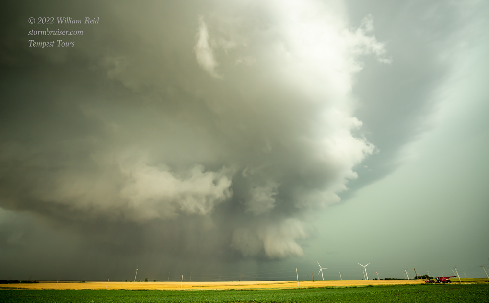

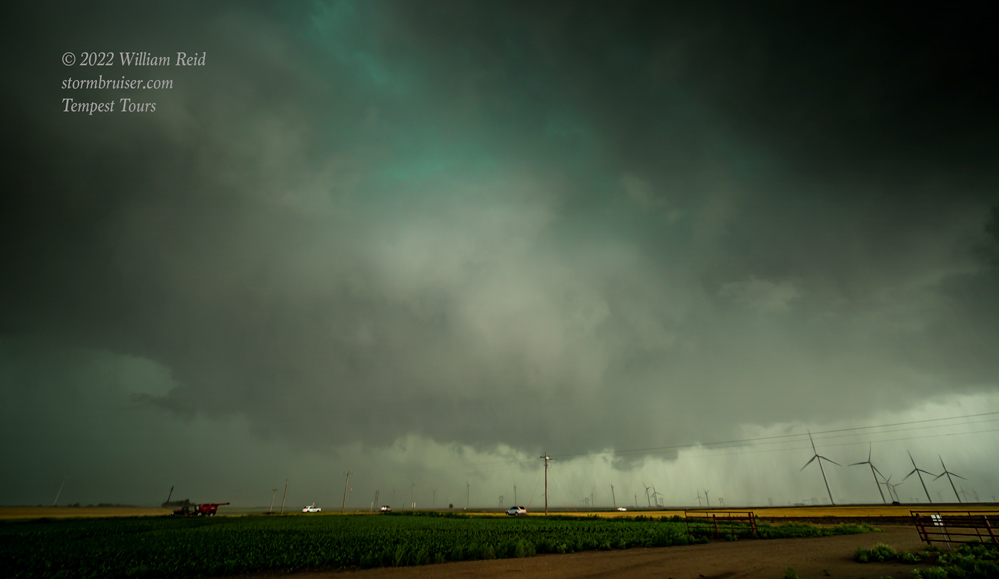
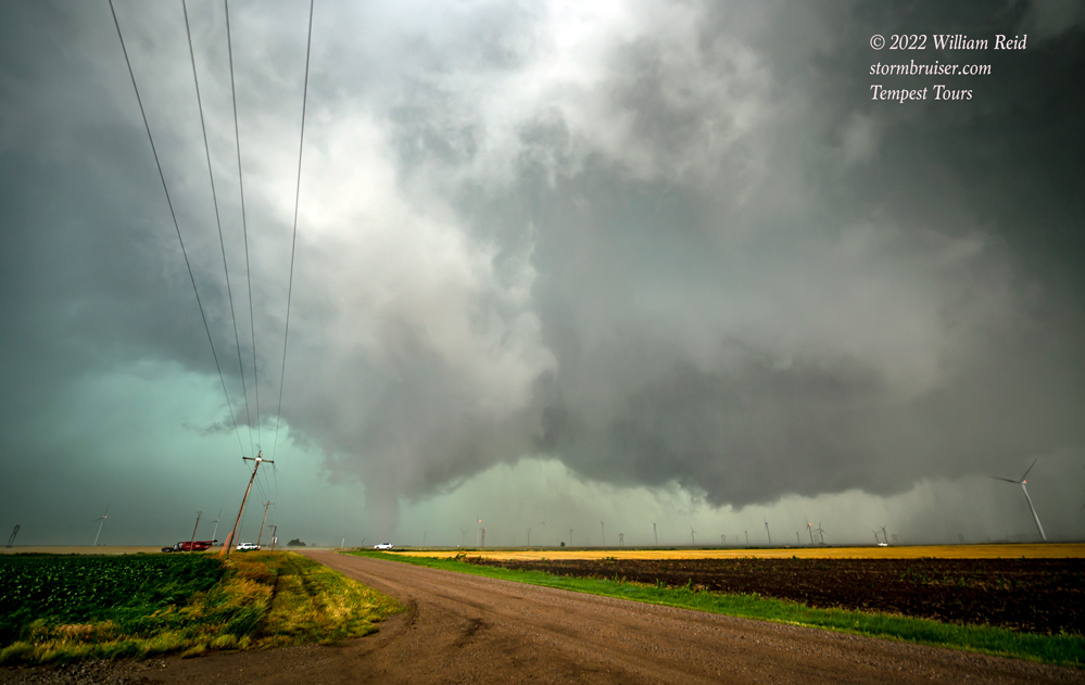

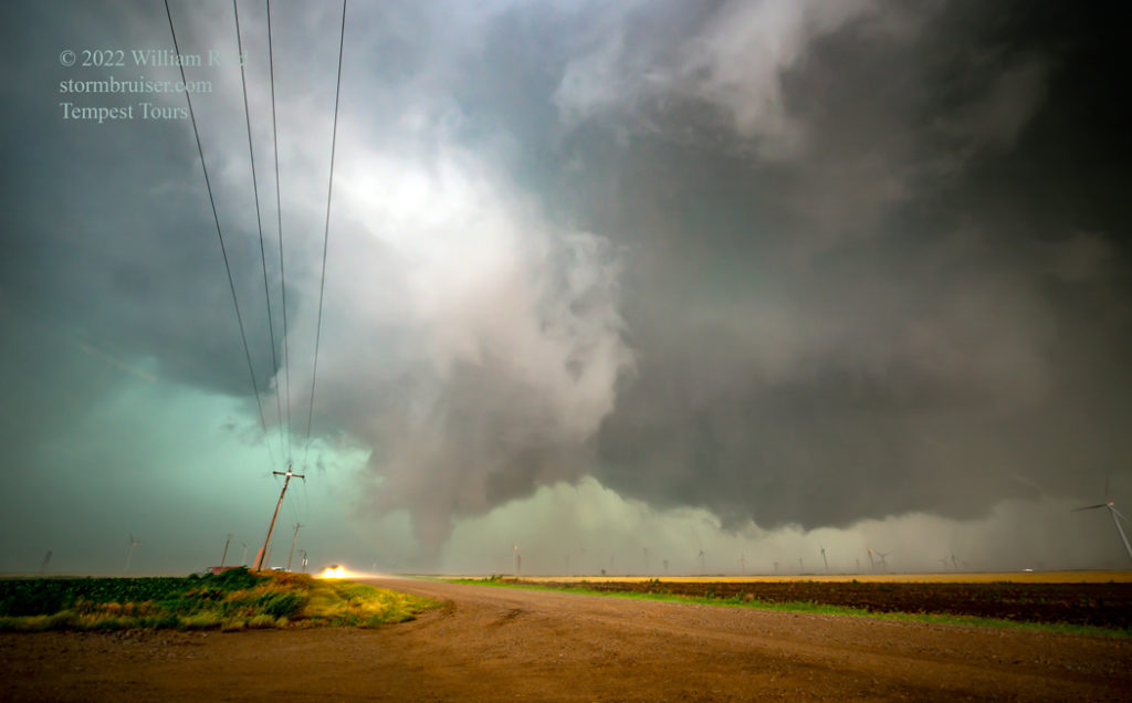
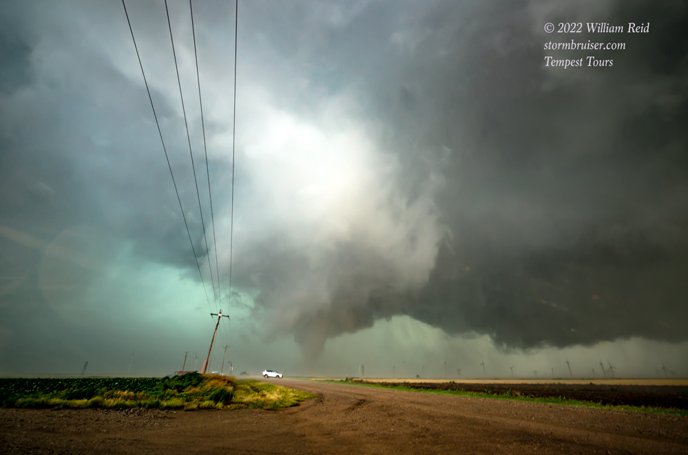

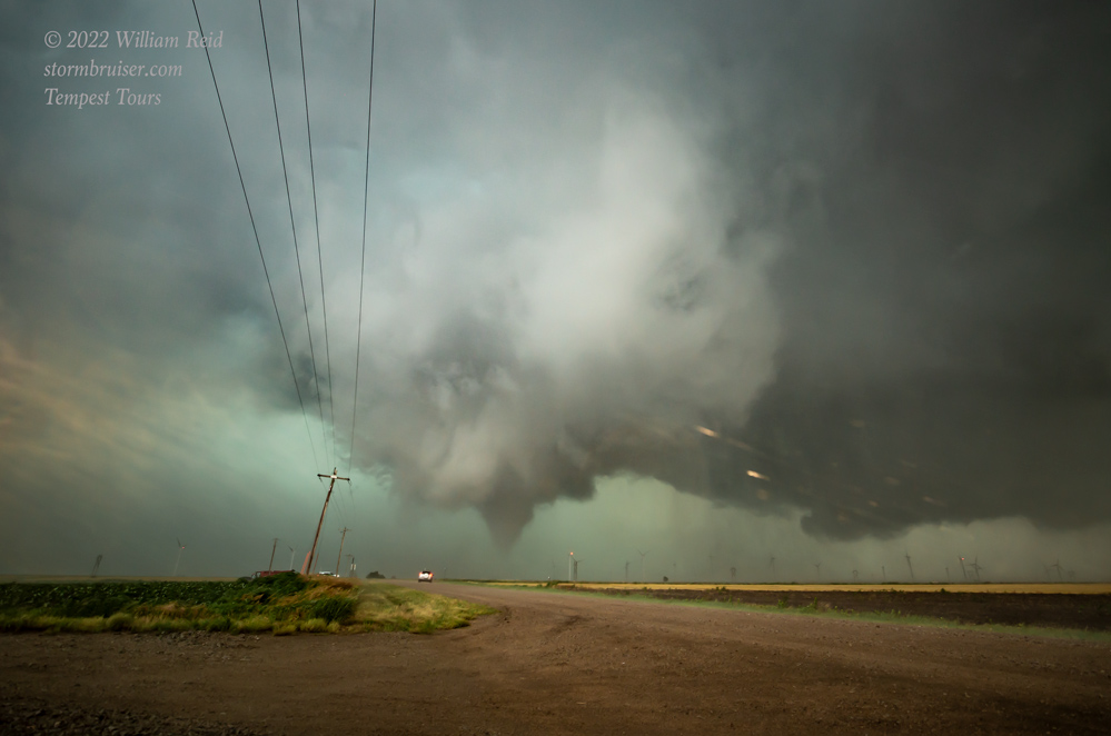
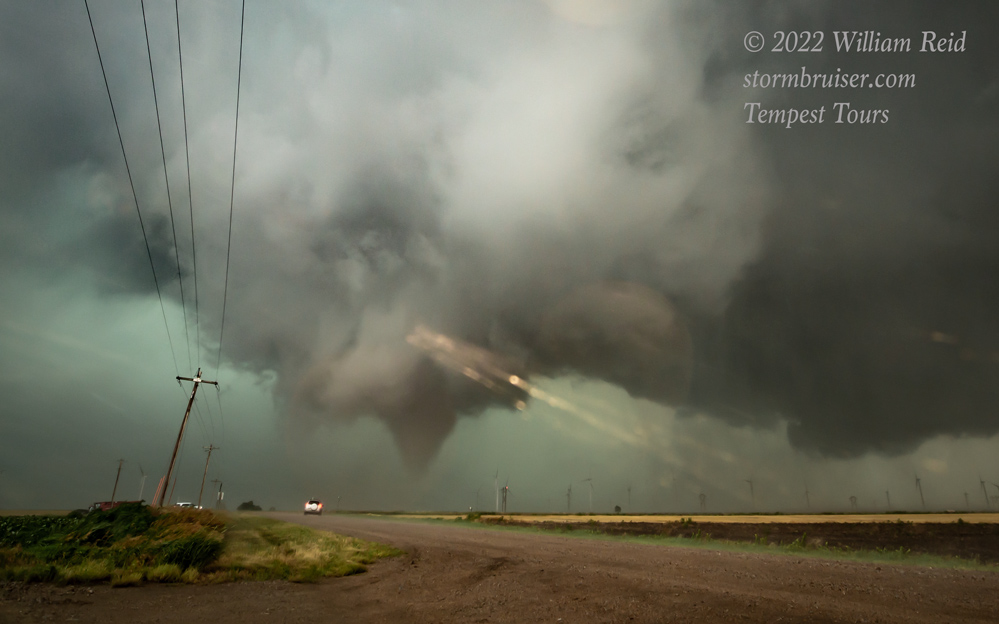

Again, this tornado was fairly brief, maybe two minutes in duration, but it looked pretty good! NWS has it at 2320Z (6:20 CDT) and about six miles south of Sylvan Grove, in Lincoln County (or about 8-9 miles northeast of Wilson).
Once more, we found ourselves slightly behind the action area in the windy and wet RFD. We caught up again a little to the east and watched plenty of fast swirling motion overhead. No tornado! I elected to head east on I-70 quite a ways for a look at the structure. The terrain along this stretch was hilly and not conducive for poking in close to a rain-wrapped storm base. The first image below is looking west from a point north of I-70, west of Glendale. The supercell was tracking along or a bit south of I-70 here, as the Interstate heads more to the ENE north of Ellsworth. We went south about halfway to Brookville to watch the storm approach, and another tornado touched down briefly (see images below). I had my wide angle for these, and the tornado was so brief that it was gone right after I picked up the camera with the long lens. NWS has this one at 0030Z (7:30 p.m. CDT), three miles southwest of Glendale (in Saline County). There are two other reports of brief tornados in the NWS/SPC storm reports listing for a total of six with the storm. We observed four.
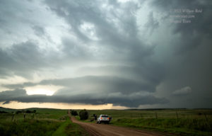
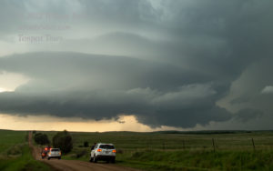
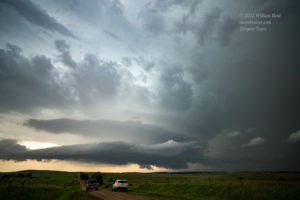
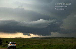
We had a pretty good viewpoint here north of Brookville, and the storm structure was quite decent! But, stormus dissipatus commenced shortly after that final tornado. We were able to get rooms in nearby Salina at a decent hour.
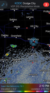
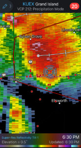
Bonus iPhone images below, with a couple of radar screenshots around tornado time. The closest radar was the Hastings/Grand Island radar, which is not very close to the locale of this storm, so the beam was rather high in the storm. This storm was on the brink of making a long-lived tornado…






Leave a Reply
You must be logged in to post a comment.