Lesleyanne’s account with the TT group
I was going to try to take the final two days off from Tour 7, the 23rd and 24th, to rest up a bit for my final tour, Tour 8. But I wound up with only June 24th free because the 23rd was a higher-end chase day and I couldn’t pass that up. I headed west out of Salina in my Xterra, which performs like a sports car seemingly after two months in the big white van. The plan was to visit my sister in her new house in Colorado Springs and to have a nice 24 hours off before going back to Denver. But, storms along I-70 in Eastern Colorado were just a little bit too interesting to blow off. I didn’t get to my sister’s place until 10 or 11 p.m. Oh well.
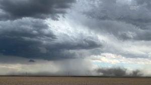
At Burlington mid-afternoon, some new and strong updrafts were developing about 20 miles south of town. These had a little organization, with high bases and gusty and dusty outflow. I just could not keep driving west on 70 with this strong convection in the pretty blue skies taking place nearby!




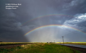


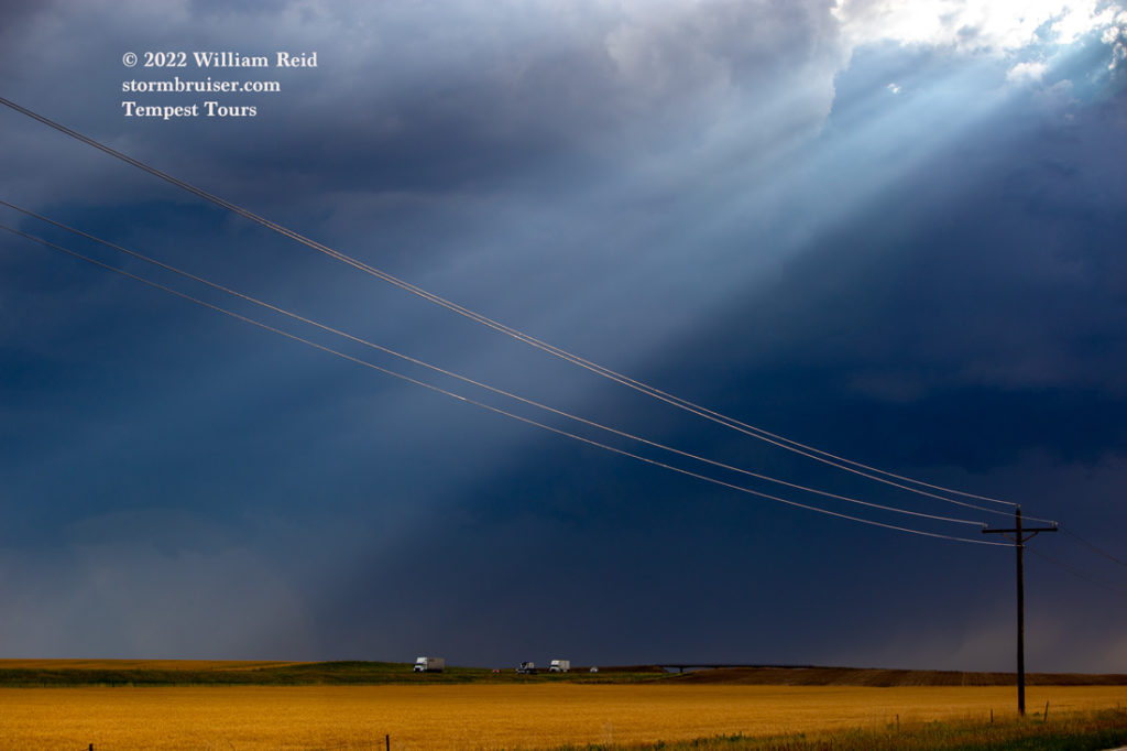
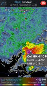
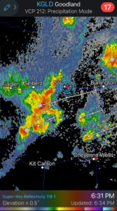
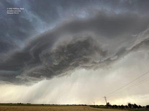
The first cell had a 4-inch hail marker according to Radarscope and the GLD radar! See iPhone shot below. I watched that cell approach Kanorado, and it kind of wimped out. West again on 70, I stopped a couple of times as new cells formed along the Interstate. More high-based cells would look good for a little bit, with some nice sun rays and rainbows and hailshafts nearby. I continued to the west on the frontage road to Stratton, and another impressive high-based storm wound up just to my west. I had to stop again.

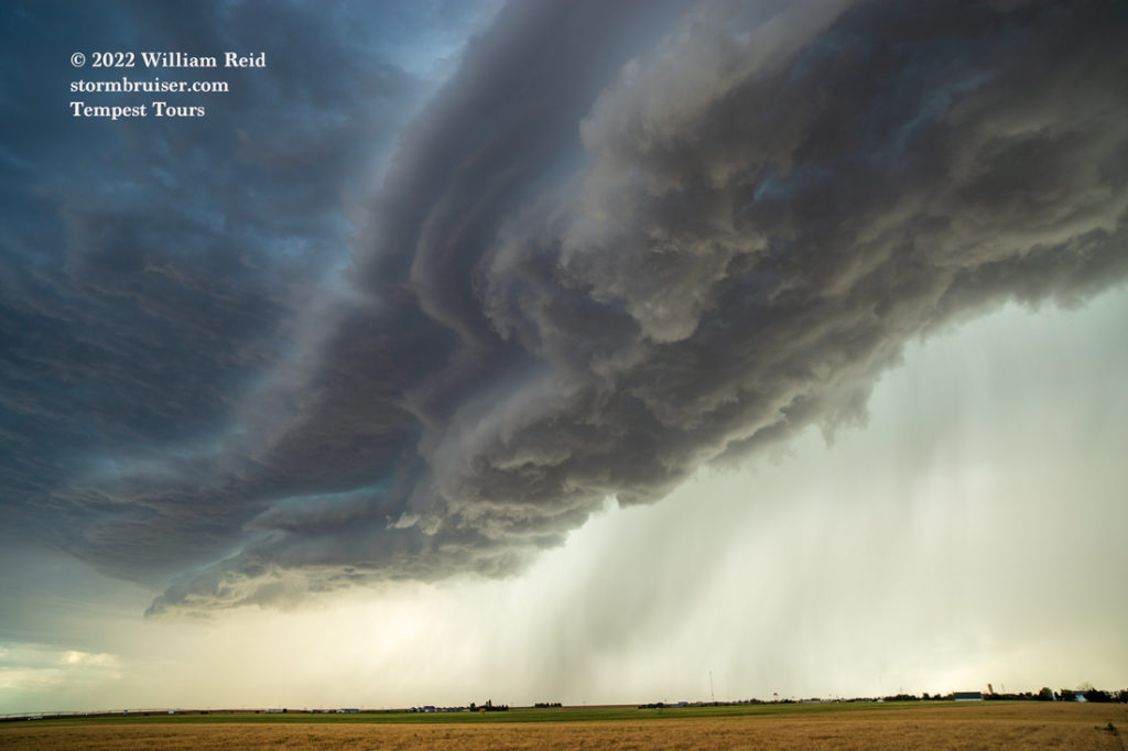
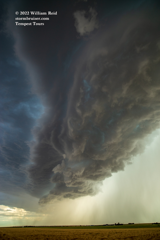
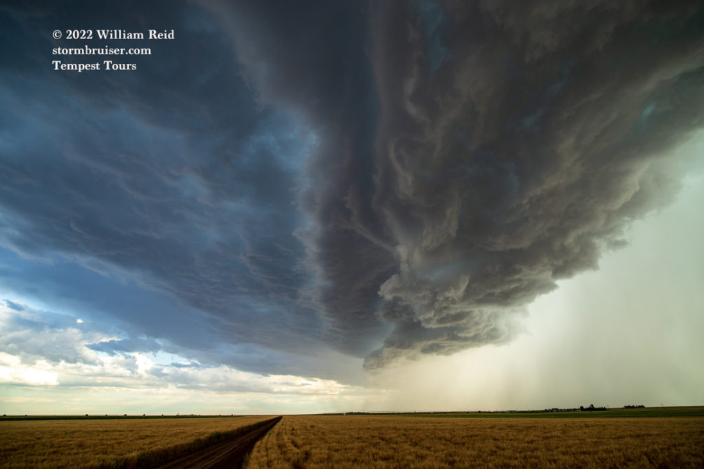

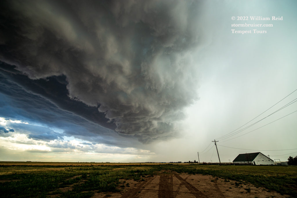
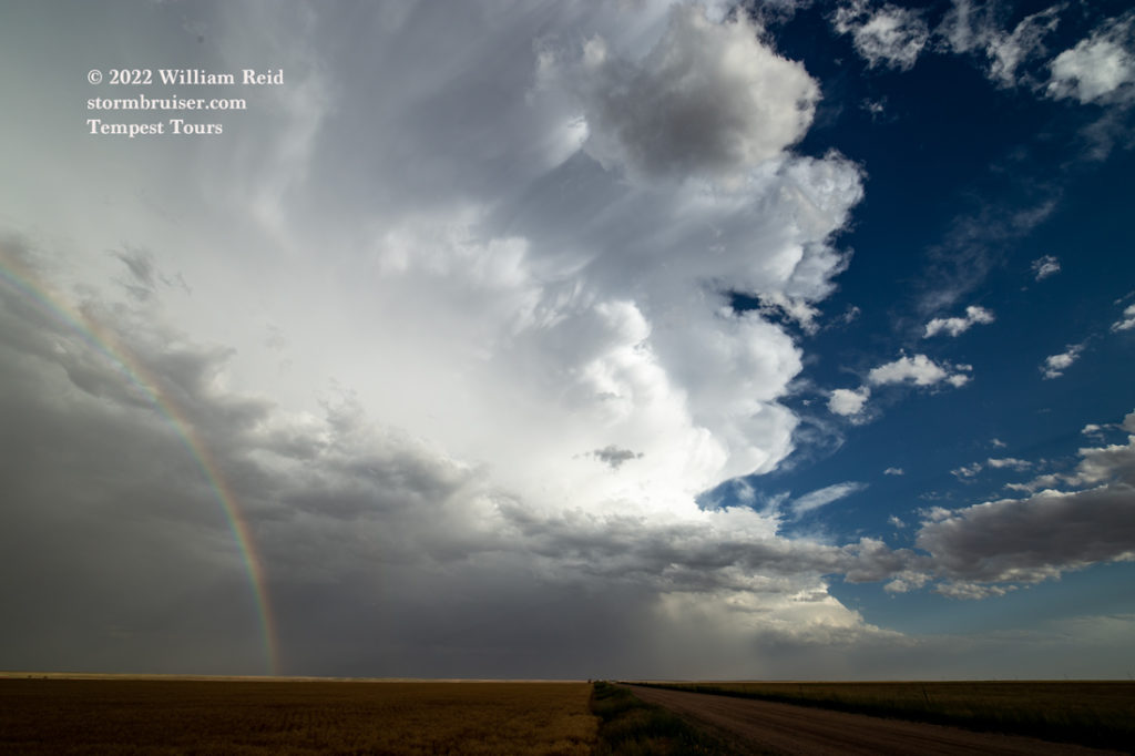
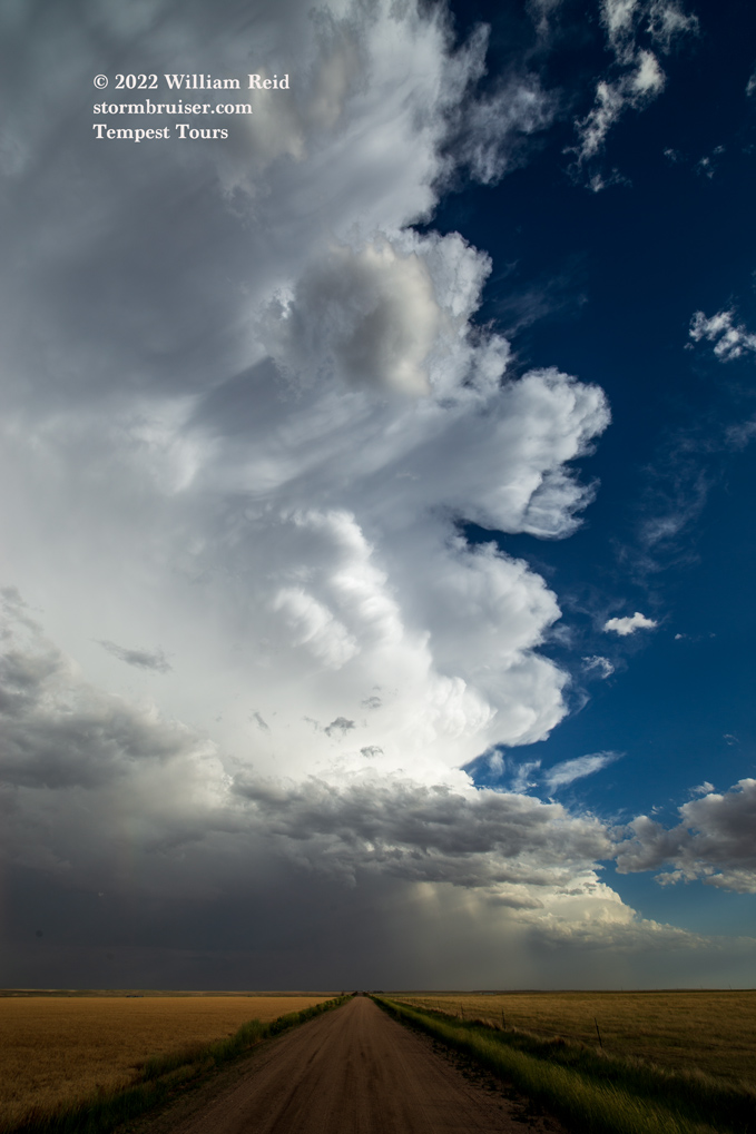
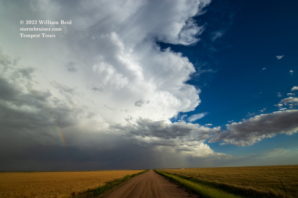

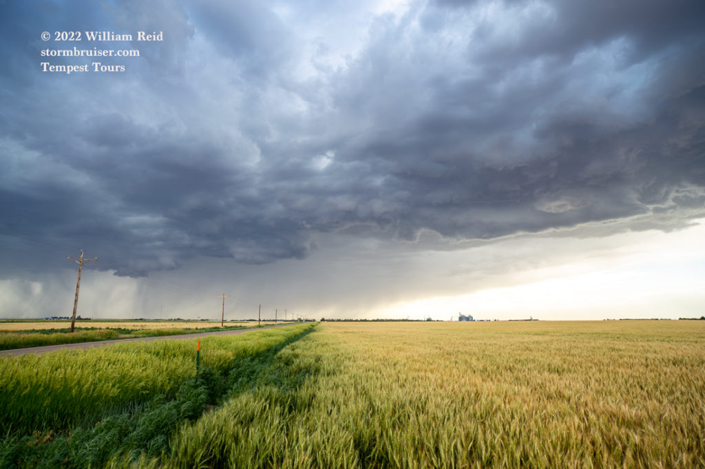
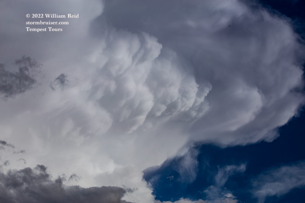
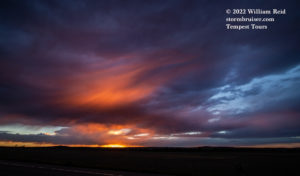
And, finally, I was able to make my way to my sister’s. There was one more stop required for the sunset light. FYI, the last chase day for the T7 Tempest group, under the guidance of Matt and Chris, was fun as they were on a pretty and electrical cell near Kanorado at sunset.
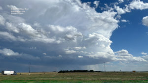
Below are some iPhone pics and radar screenshots, in chronological order.






Leave a Reply
You must be logged in to post a comment.