
The stretch from June 26 to July 1 covered the Tour 8 timeframe. The weather pattern was not a good one for storm chasers, but we managed to observe a few severe cells towards the end of the tour. I will make it easier on myself and throw all of the accounts and images into this one Stormbruiser entry.
June 26, 2022 Denver to Scottsbluff, 216 miles
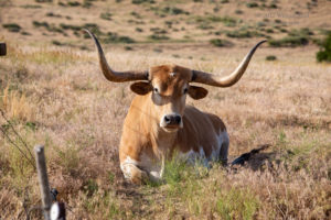
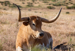
A marginal risk in Arizona and east of the Mississippi River! My only concern on this day was, uh…I guess I didn’t have any concerns. I had Bob take us to Scottsbluff via a little-used dirt road (Carter Canyon) with a cow of some sort sitting next to it. If you like extremely limited low-level moisture and a stable troposphere, then this was your special day. We were headed to the Northern Plains where models showed some severe weather chances during the last half of Tour 8.
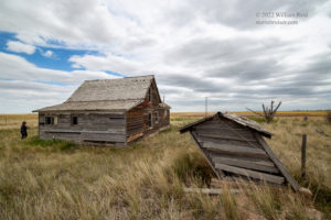
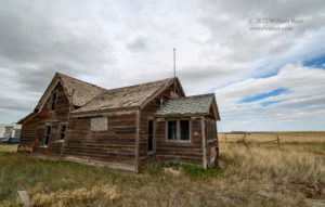
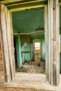
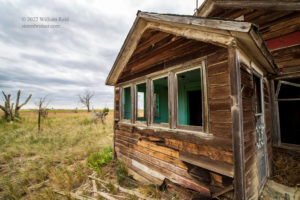
June 27, 2022 Scottsbluff to Chamberlain, 467 miles
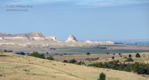
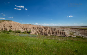
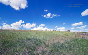
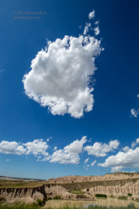
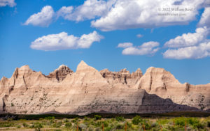
I don’t have to put the state names in there, do I? Of course you know where Scottsbluff and Chamberlain are. SPC’s Day One outlook contained only “general” thunderstorm chances for the entire country on this date. No chaser EVER will hearken back to their exploits of June 27, 2022. We headed north from Scottsbluff, with a visit to Mount Rushmore in mind. But, there was barely enough convergence and instability and shear showing up towards the Badlands to distract me. I figured that the landscape scenery, at least, would compensate for blowing off Mount Rushmore. And maybe a storm cell would manage to be not entirely uninteresting.
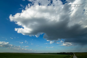
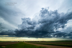
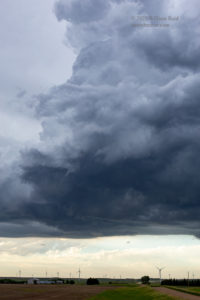
We headed east through the southern part of the Badlands and watched some weak convection, culminating with a very ho-hum, high-based and low-topped updraft around Winner, SD (see the last image here). I guess we were storm chasing.

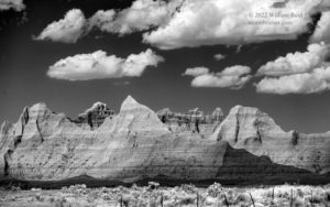
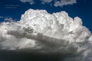
June 28, 2022 Chamberlain SD to Ashley ND
You don’t care if I leave out the commas around those state abbreviations, do you? This is an informal web site post, in case you were wondering.
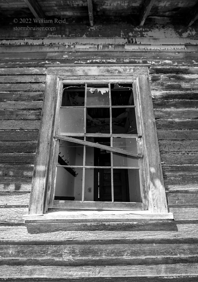
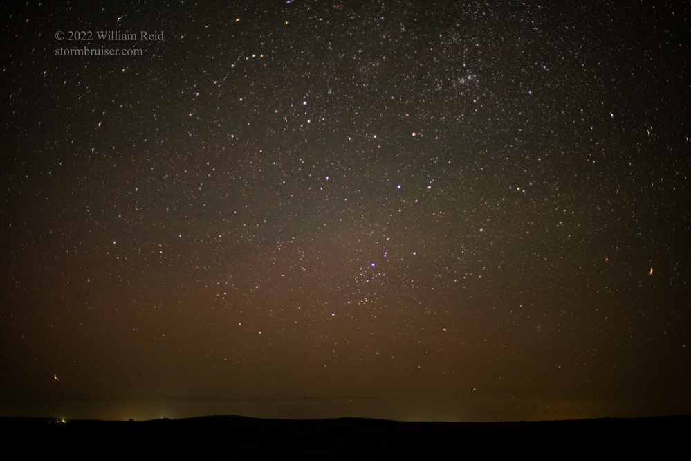
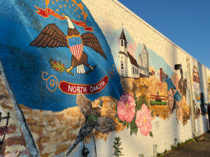
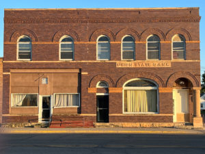
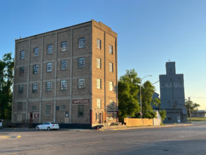
SPC had a slight risk for severe storms in central Montana and Wisconsin today, and we were right in-between. Tornado risk was next-to-nil for both distant areas, so we had a down day in order to be ready for better prospects on the next day. We got into our accommodations at Ashley, ND, rather early, and then went north of town at 11 p.m. for a look at the dark sky. iPhone photos of the town of Ashley also included below.
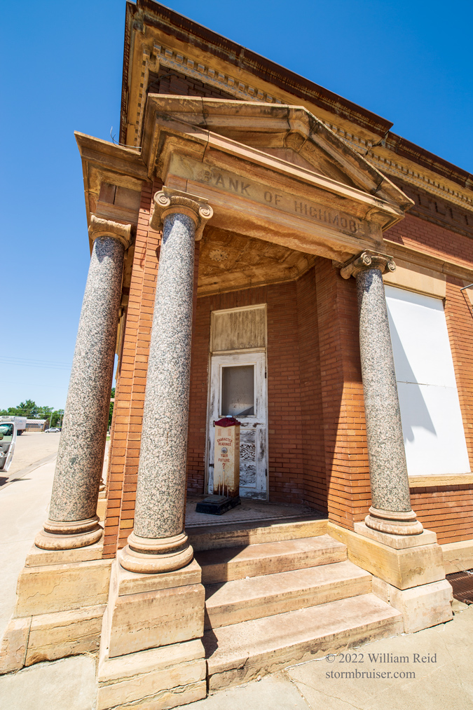
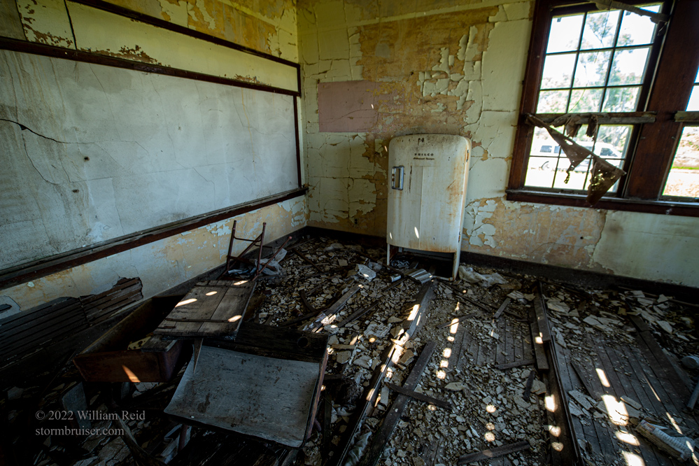




June 29, 2022 Ashley, ND, to Lemmon, SD, 436 miles
Mesoscale Disc 1304
Mesoscale Disc 1305
Hey, hey, hey! We woke up to a nice and large slight risk area for much of the Dakotas! However, moisture was still slightly closer to “pathetic” than it was to “superb.” Tornado prospects were not high at all. SPC had a 2 percent tornado area outlined in eastern ND, a hatched hail area in eastern ND due to a supercell risk, and a hatched wind area for much of SD due to high-based storms and expected strong downdrafts. We were in good shape to target the supercell and hail risk in ND. But, the cap was strong and models wavered on whether there would be a decent daylight supercell or not. Models favored areas north of I-94 for this. Our tour guests were on day 4 of their 6-day tour, and so far there had been little to get excited about. Did I want to go all-in on the ND supercell chance and risk a bust, or play it semi-safe and catch something in northwest SD?
It appeared prudent to get a bit west and north from Ashley. Would a supercell be able to form up in the Minot area? Some chasers and some cumulus were showing up there by mid-afternoon. We visited the NWS Bismarck office and saw the balloon go up for the special sounding. It was getting rather hot, and the balloon went almost straight up. Where is the shear?!
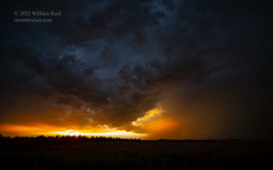
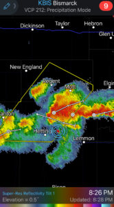
I chatted with a forecaster here, and we both kind of suspected that the chance for a rip-roaring supercell traversing the state later this afternoon was a bit bleak. There was just too much CIN (convective inhibition) lurking. We went for an ice cream in Mandan, and then inched northwestward just in case that Minot stuff exploded. By about 5 p.m. I had to commit, and we headed west and south towards Lemmon to get in front of relatively new storms in the Hettinger area. These were near-severe, but kind of messy. The stormy sunset skies near Bucyrus and Hettinger were quite nice. As it turned out, the possible supercell scenario in the remainder of North Dakota did not eventuate this day.
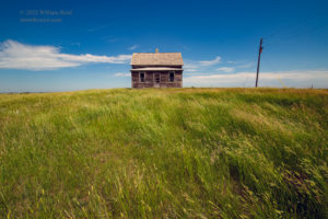
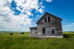
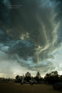


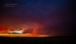
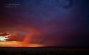
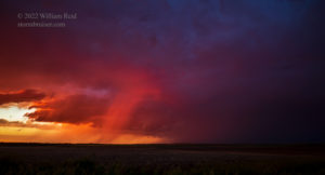

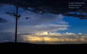

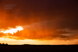
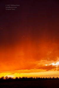
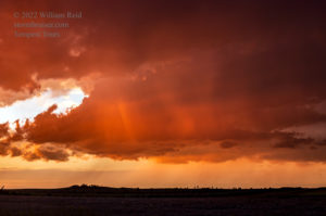
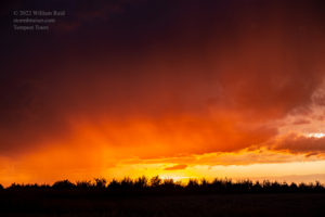
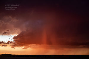
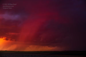
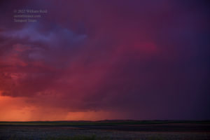
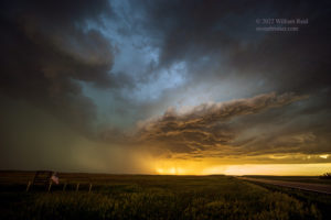
iPhone pics with radar screenshots:
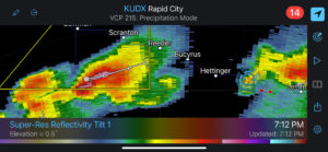
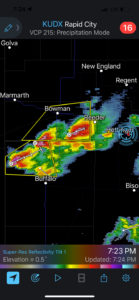

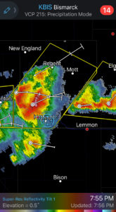

June 30, 2022 Lemmon, SD, to Alliance, NE 616 miles
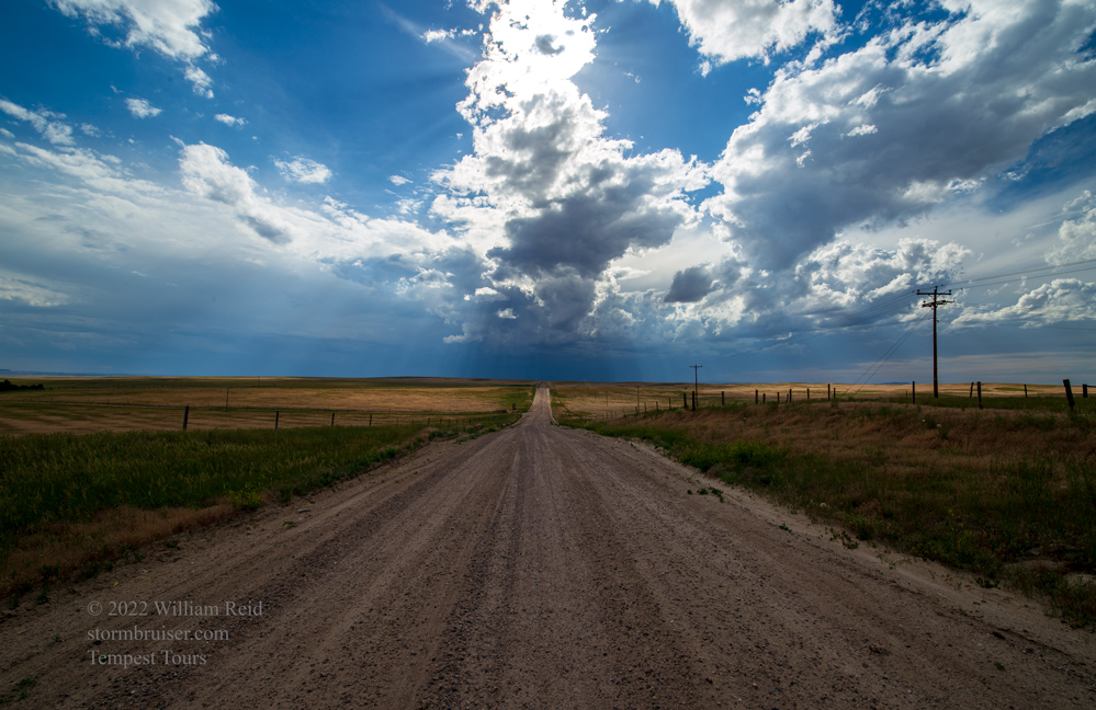
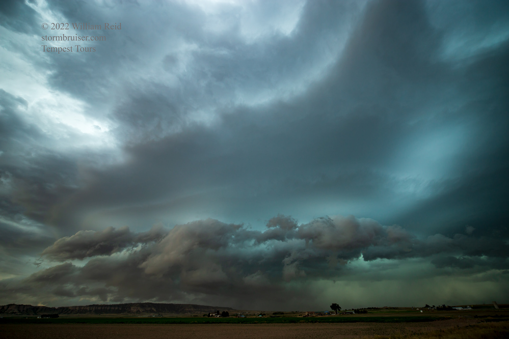
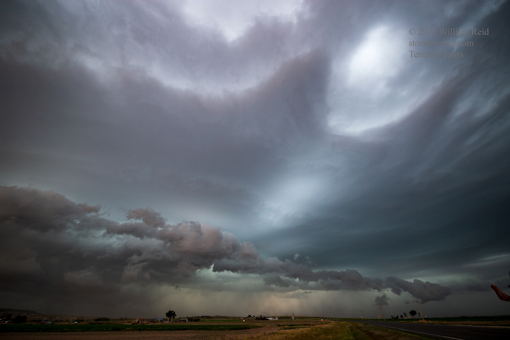
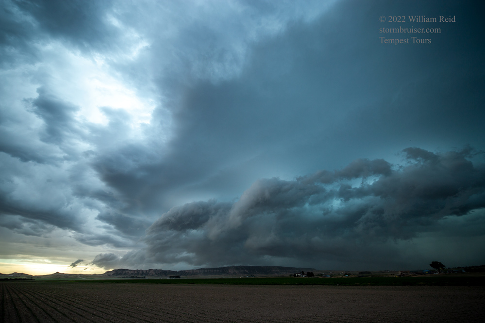
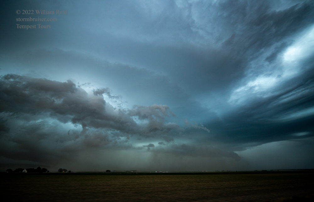
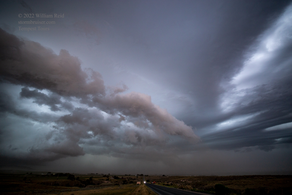
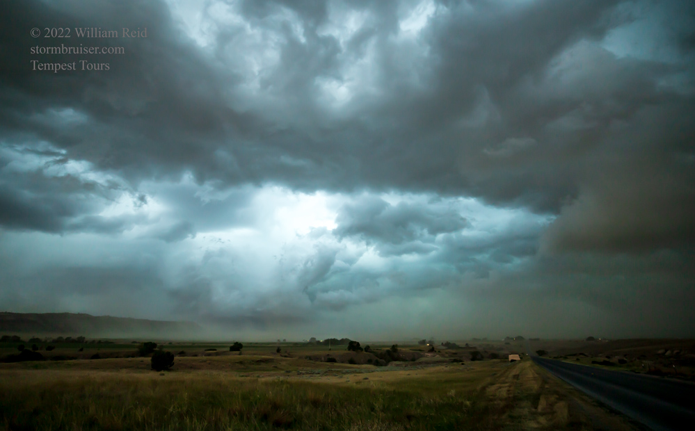
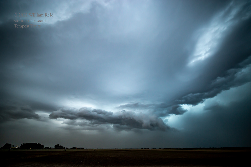
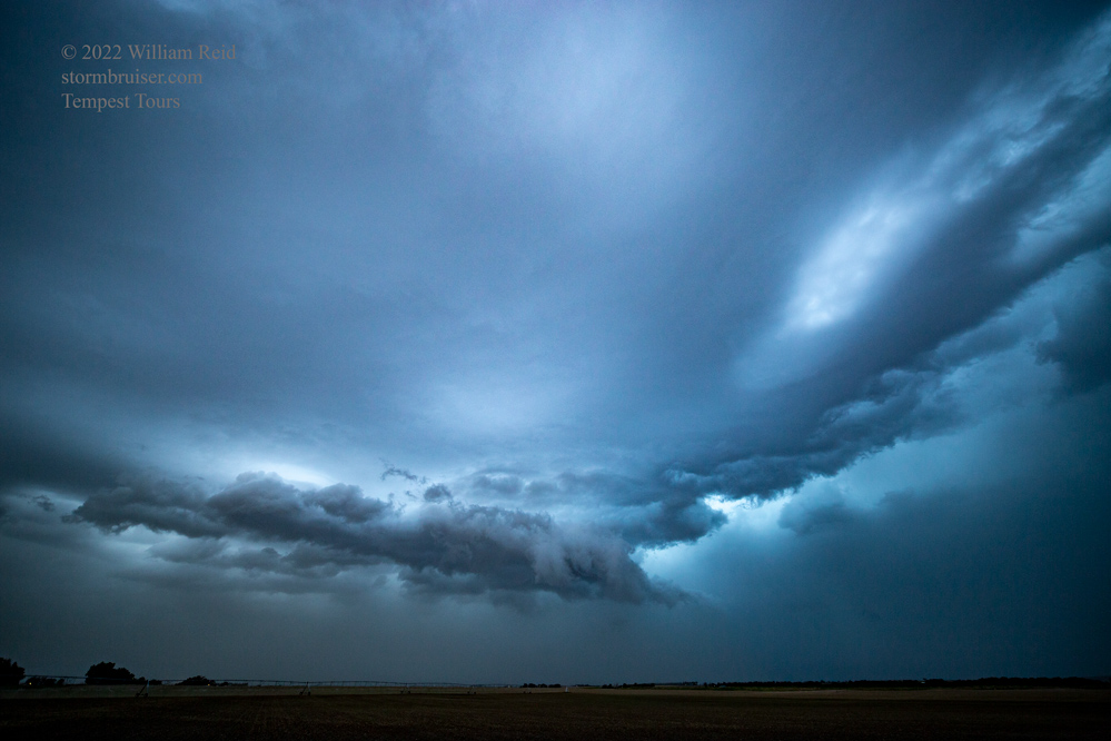
We had a rather long drive to the Nebraska Panhandle for this day’s chase. Again, low-level moisture was marginal (dews near 50F), but shear was okay. SPC was not impressed, and stuck this area into its “general thunder” outline. We wound up on somewhat organized high-based blobs from JayEm to Lingle to south of Torrington to about Scottsbluff. This last cell west of Scottsbluff had a decent look to its base and some outflow dust.



July 1, 2022 Alliance to Cheyenne, 322 miles
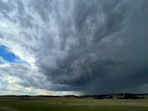
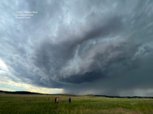
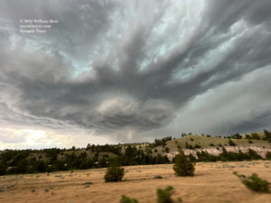
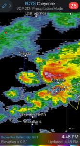
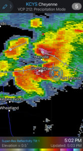
This was the last chase day for Tour 8 and the last chase day for me for the spring tours chase season. SPC showed a slight risk north of Lusk and Chadron, but again low-level moisture was too poor to even allow a 2% tornado risk. I set my sights on convection forming on high terrain west of Glendo, Wyoming. We sat on a dirt road east of Glendo Reservoir and watched a decent supercell take shape to our west. A second smaller supercell went up just in front of it, but this new one was sucked into the bigger one. The “Glendo” supercell turned right a little and tracked to the ESE. Its structure was really nice! But, it was tracking into a bit of a road void northwest of Guernsey State Park. I elected to try to stay ahead of it via Lakeside Drive in the State Park. This road follows the eastern side of the reservoir, and views to the west (towards the supercell) were fleeting. Even worse, a new storm or two had formed near Guernsey. These were raining into the inflow region of the Glendo supercell. By the time we reached a good viewing area again near Guernsey, the Glendo supercell had weakened considerably. UGH. The chase day and the tour were essentially over, and we tracked some junky cells into Torrington. Dinnertime!

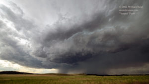
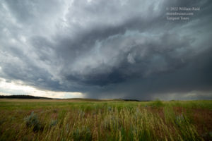

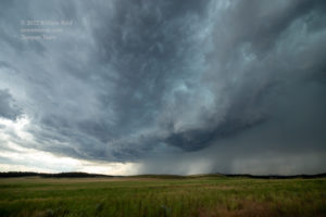
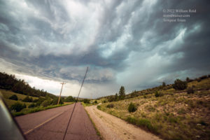


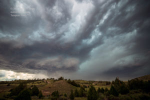


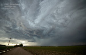
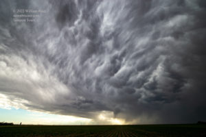

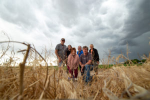
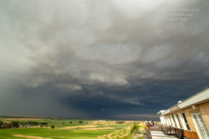

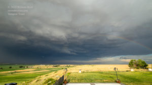

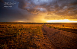

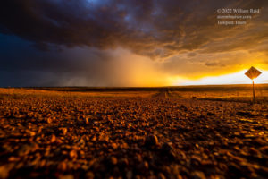


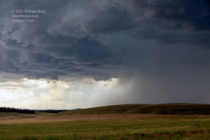
iPhone pics and radar screenshots for July 1 below:
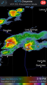
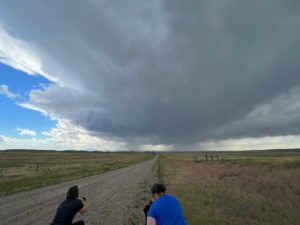


Leave a Reply
You must be logged in to post a comment.