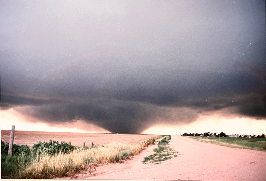
Link to my chase account and video for the Last Chance, Colorado tornado
This current entry was produced to share additional information and correspondence with regard to my Last Chance tornado chase with Charles Bustamante on July 21, 1993.
Soon after the tornado ended (the first large tornado, at about sunset), Philip Scott drove up to our location at Roads 7 and T in Washington County, about a quarter mile east of his home. We chatted about what had just transpired. About ten minutes later, Charlie and I were watching the storm drift off to the east from the porch of the Scott’s residence. I promised to send them a VHS copy of the tornado video, and Lois Scott was (later) kind enough to send me a variety of materials associated with the Last Chance storm.
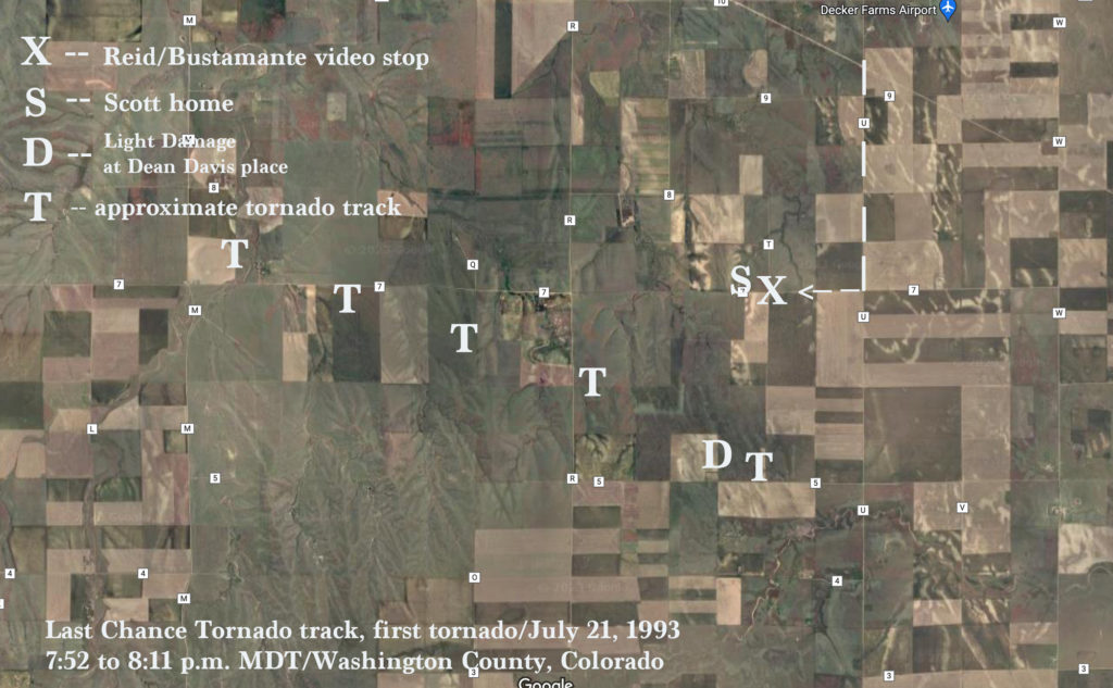
The satellite image above, copied off of a recent Google image, shows the relatively empty pasture and farmland traversed by the first large tornado in Washington County on July 21, 1993. Marked is the spot where we stopped to video the tornado (X), the Scott farmhouse (S), the Davis farm (D) where light damage occurred, and the approximate tornado track (T). The tornado was in progress for about 20 minutes and covered only 5 to 6 miles. It was moving at about 10-15 mph to the ESE. The Davis place is about 7 miles south of Lindon.
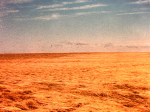
The photos below, courtesy of Lois Scott, document some of the damage and effects of the Last Chance tornado. To my knowledge, all of these images are associated with the first large tornado only, which tracked from W to SW to S of the Scott residence (which is 5 miles SSE of Lindon). Mrs. Scott included some detailed notes on the back of each photo, and the ink of the felt pen bled through to the pictures in some instances. The large tornado near their home caused relatively little damage and was rated F0 by the NWS in Denver.

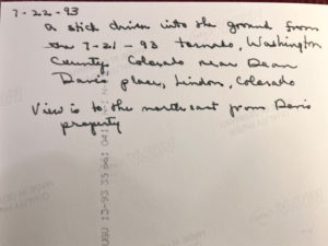


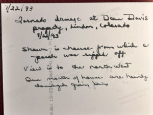
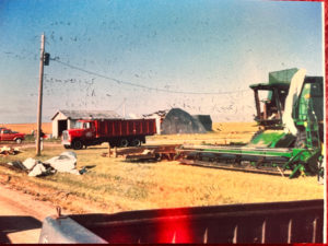
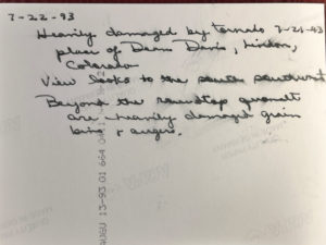
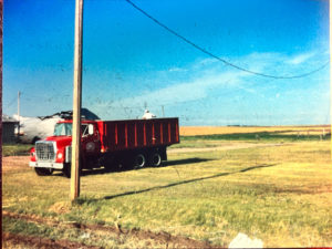
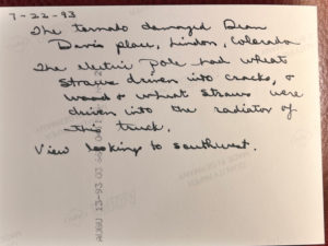
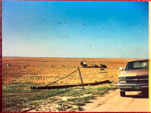

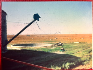
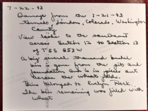


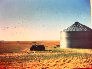

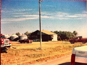
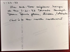
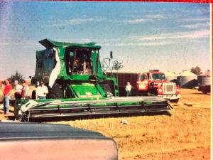


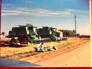


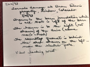

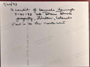
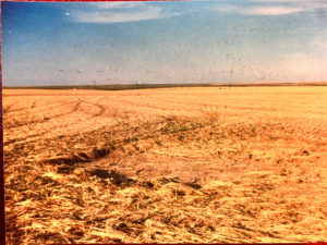
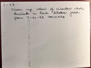
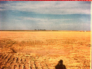
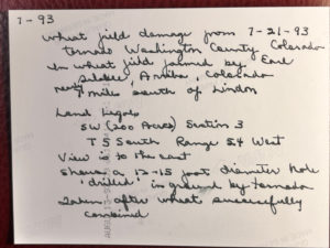
Additional correspondence from Lois Scott below:


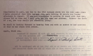
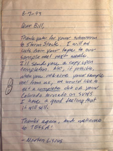
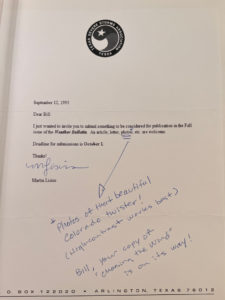
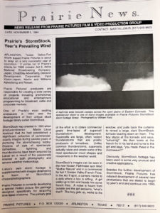
Correspondence from Martin Lisius of Prairie Pictures, Stormstock, and TESSA below:



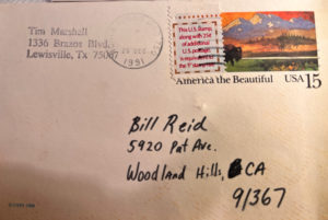
Correspondence from Tim Marshall/Stormtrack Magazine below:
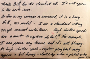
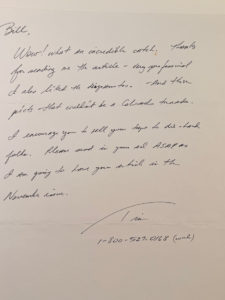
Correspondence from Tom Grazulis/The Tornado Project below:
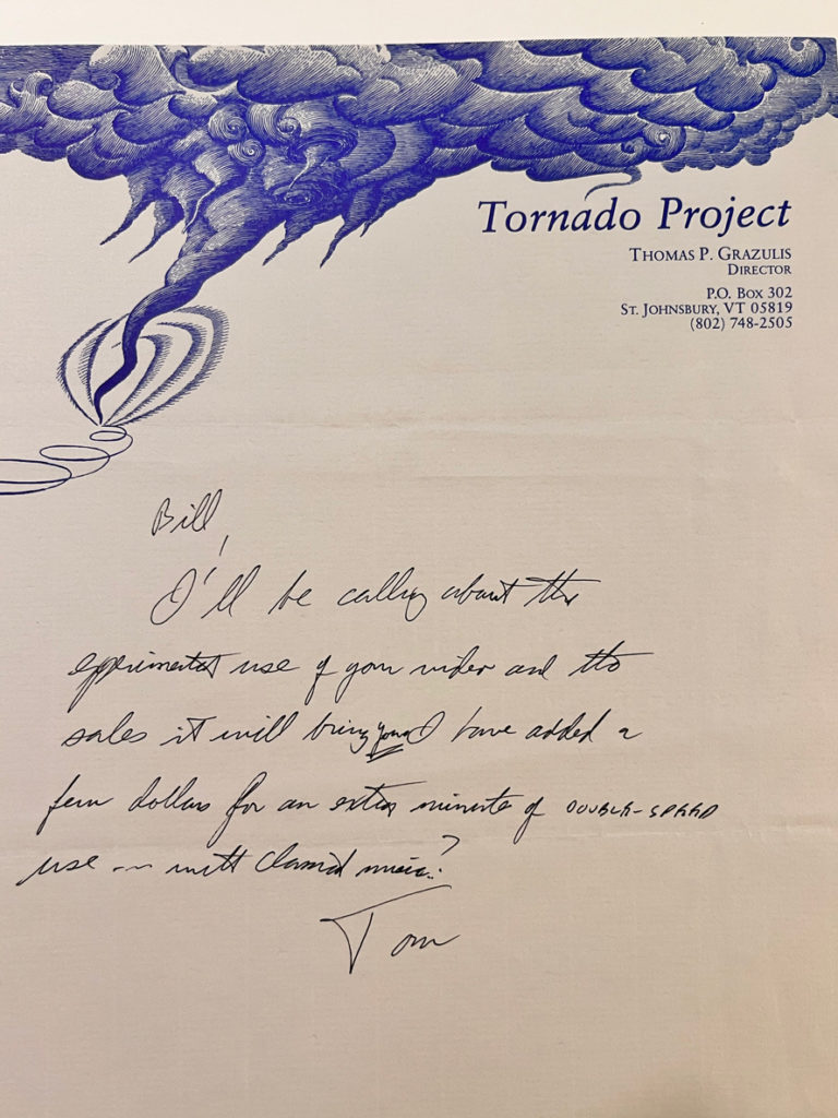
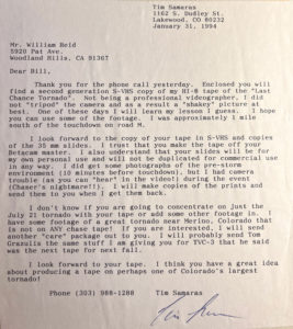
Correspondence from Tim Samaras below. Tim was on the same storm, and graciously provided his video to be included on my Last Chance Tornado VHS tape that I produced and made for sale through Stormtrack Magazine.
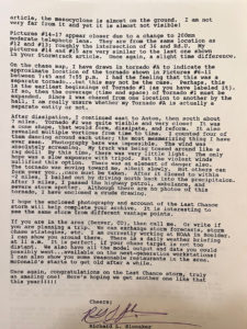
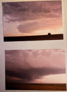
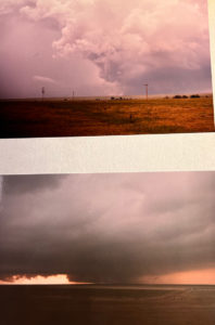
Correspondence from Richard Slonaker, and his sequence of images of the Last Chance storm:


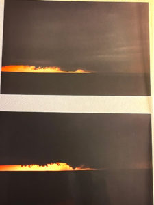
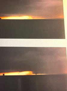
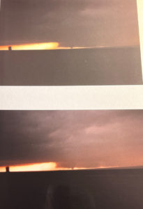


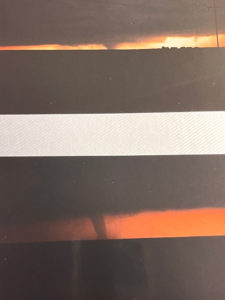
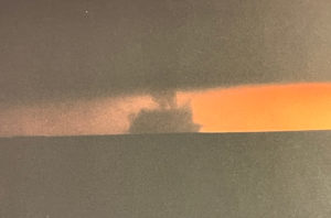
Correspondence from Greg Jackson, NWS Meteorologist at Goodland, Kansas (in 1993). Greg helped me with the forecast when I visited the GLD office in May, 1993, and he provided radar loops and analysis of the Last Chance storm which I included on the highlights tape:
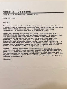

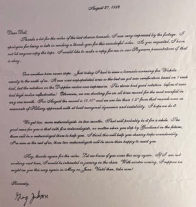
Correspondence from Roger Edwards/NSSFC forecaster:
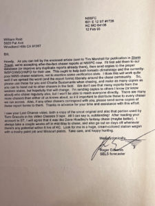
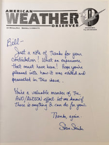
Correspondence from Steve Steinke/American Weather Observer:


Correspondence from Jim Reed:
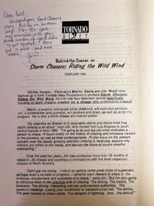

Newspaper clippings


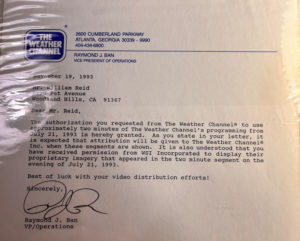
Correspondence from The Weather Channel and Weatherwise Magazine. TWC permitted me to use a couple of minutes of their broadcast, with Dave Schwartz, showing the radar loop of the Last Chance storm.

More fun stuff

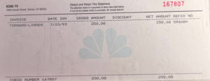


The last sheet above lists the tornado reports and activity from July 21 in Eastern Colorado by NWS Denver. The F3 tornado was the second large tornado spawned by the supercell (the supercell which first spawned the large tornado which Charlie and I documented). The list shows this first large tornado with a F0 rating.
After Charlie and I witnessed the tornado, we were at the Scott’s house for perhaps 30 minutes. Lois Scott suggested that I call Channel 4 in Denver to let them know that I had video of the tornado. The station was interested, so Charlie and I met their news van at Byers (about halfway between Last Chance and Denver). A few minutes of the video was transmitted back to the station in Denver in time for the 10 o’clock news. The station meteorologist was able to watch the footage come in as it was transmitted (via microwave I think!), and he phoned the van to talk to me. His first words: “Bill, you stud!” And he promised that the station would pay me 250 bucks for my trouble. I think it was at this time that I also said that it was okay if the footage was shared with The Weather Channel. TWC wound up showing it every hour (at least) on the following day, July 22nd. Charlie and I were not aware of this until we got back to our homes in Los Angeles on the evening of the 22nd. And, as I requested, TWC put my name on the screen while showing the tornado video. Martin Lisius was interested in the footage and tracked me down somehow by contacting the Denver TV station and then scouring the L.A.-area phone books. He knew my last name and where I lived, approximately.
After our meet-up with the Channel 4 news van, we started our drive home, west on I-70. We stopped at the NWS office in Denver off of Peoria St., near Stapleton AP, and showed some of the nighttime staff our video of the tornado. A few of them were huddled around the television monitor to watch! It appears that the office was not adequately appraised of the magnitude of the first large tornado, which just kind of sits unceremoniously and un-prominently in their list with the other F0 tornadoes that day. Perhaps that is my fault to some extent, as I should have followed up with a call to the station the next day or two. I did wind up in contact eventually with Todd Heitkamp at NWS Denver, and provided a copy of the video for him and the office. Ironically, my next major tornado catch was the Spencer, SD, tornado of May 30, 1998, and Todd Heitkamp was the warning coordinator at the NWS Sioux Falls office at that time.
In the weeks afterward I contacted other chasers who were on the storm, largely with the help of Todd, I think. These other chasers included Tim Samaras, Dean Cosgrove, Dave Solomon and Dave Thede. I swapped video of the storm with these chasers, and they graciously allowed me to use some of their footage on my Last Chance Chase highlights tape.
Later, Richard Slonaker contacted me after reading my account, and he shared his experience and photo prints of the storm. Richard told me that he was right behind me briefly near Road U and U.S. 36 as the Last Chance tornado was in its first few minutes (and still about 8-10 miles distant, to the southwest). But, he was reluctant to go south on Road U because it was not paved, and he was concerned about the road getting wet and the chance of getting stuck on a muddy road. Richard remained close to U.S. 36 instead of dropping south to get in front of the tornado. In my video, when I turn south on Road U off of U.S. 36, I mention that I was being “followed by a truck.” I bet that that was Richard. I didn’t see the truck again after making that comment!
Dave Thede and Dave Solomon were chasing together, and Charlie and I chatted with them near Lindon as we watched the first supercell drift eastward, north of U.S. 36. Charlie and I recognized Dave Solomon from our visits to the old Limon radar site earlier in the week. Dave Solomon worked at the office there. Dave and Dave must have drifted farther east with the original Last Chance/Lindon supercell than we did, as they came back west a little too late to get a good look at the first big tornado. However, they were in very good position for the second large (F3-rated) tornado at dusk.
Dean Cosgrove dropped south on Road W, two miles east of Road U (the road we dropped south on) and three miles east of where Charlie and I stopped (Roads 7 and T), and he caught the last several minutes lifespan of the first large tornado to his west. He, too, was lulled a little too far to the east with the original supercell and got back west to the main show on the late side. Like the two Dave’s, Dean wound up in great position to observe the second large tornado.
A couple of letters from Tim Samaras are above. He managed some very impressive video of the Last Chance tornado from close to its beginning from Road M. He said that it formed about a mile to his north. I think he was shooting with a Hi-8 camcorder, while Dean and Dave and Dave were using more conventional 8mm and VHS equipment. Tim told me that he left home just in time from Lakewood, came right up to the back end of the Last Chance supercell (the second one which became the main event!) on U.S. 36 and then dropped south on Road M… that must have been quite the experience. He was battling wind and rain for a while and did not have the excellent contrast that Charlie and I enjoyed.

Leave a Reply
You must be logged in to post a comment.