
Tour 2 out of OKC started out very slowly as we waited for Gulf moisture to come back north. Here are the day-to-day particulars from April 29 to May 3:
April 29) Start: OKC/lunch: Meers, OK/end: Lubbock/369 miles (down day)
April 30) Start: LBB/lunch: On The Border in LBB/end: Clovis, NM/175 miles (down day)
May 1) Start: Clovis/lunch: 87 Restaurant in Clayton/End: Clayton/263 miles
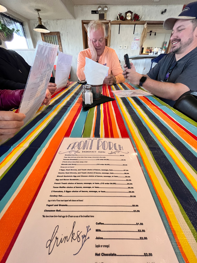
May 2) Start: Clayton/brunch: The Front Porch in Texline/End: Lubbock/422 miles
May 3) Start: LBB/lunch: Dickeys BBQ in Levelland/End: Woodward, OK/532 miles
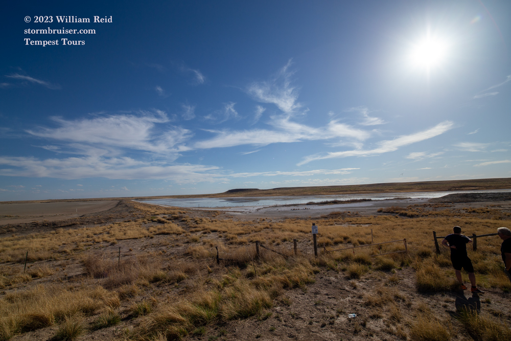
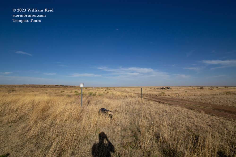
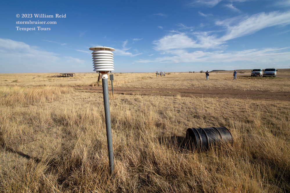
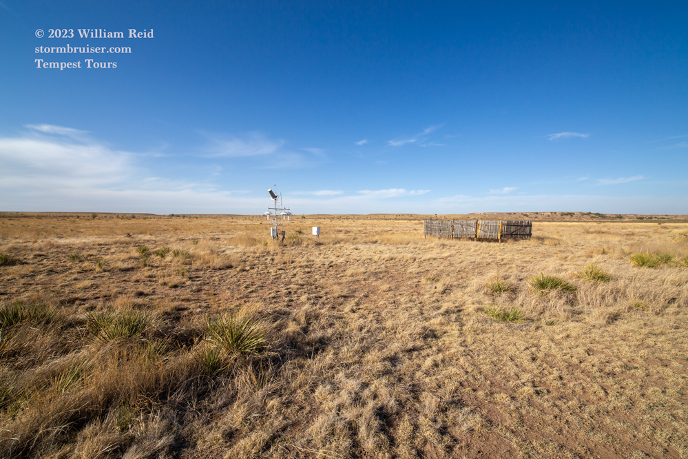
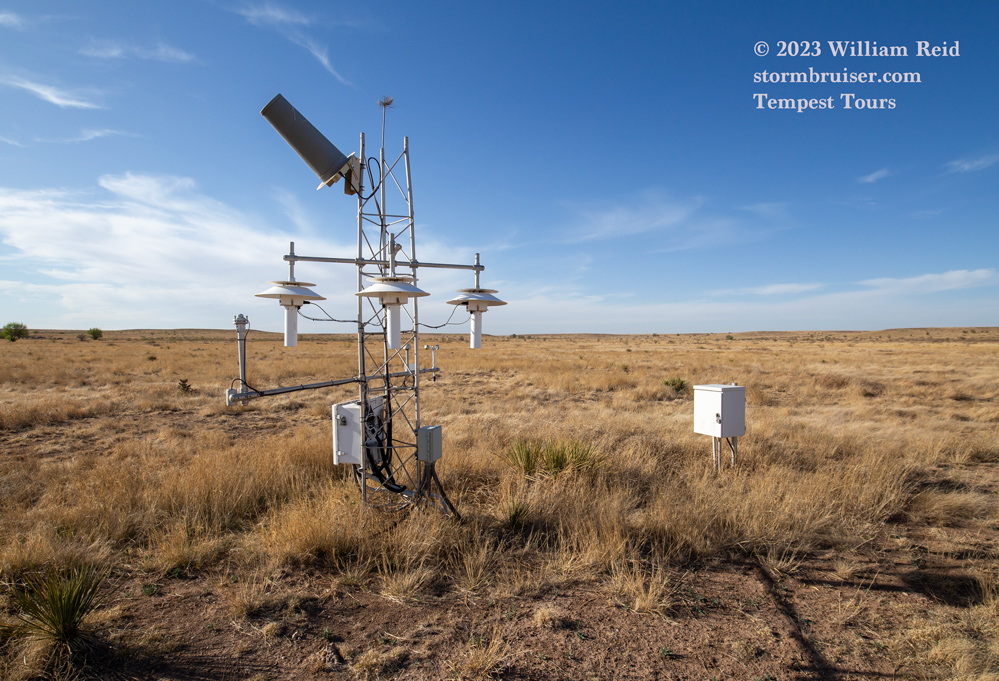
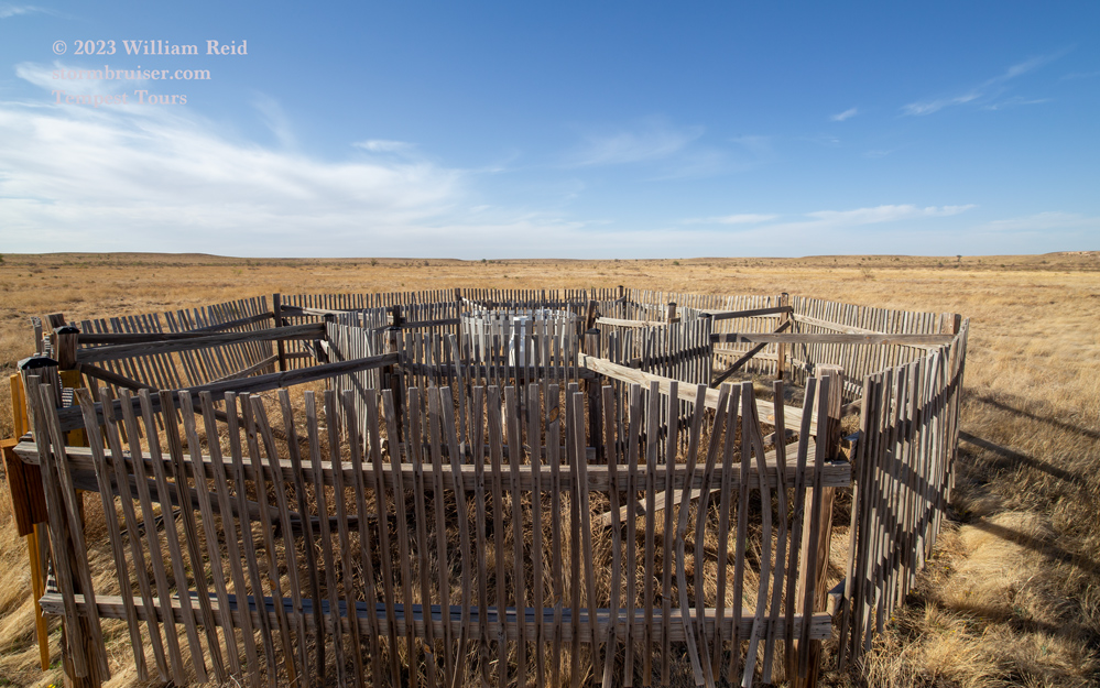
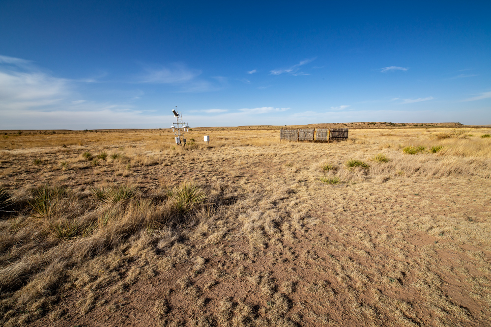
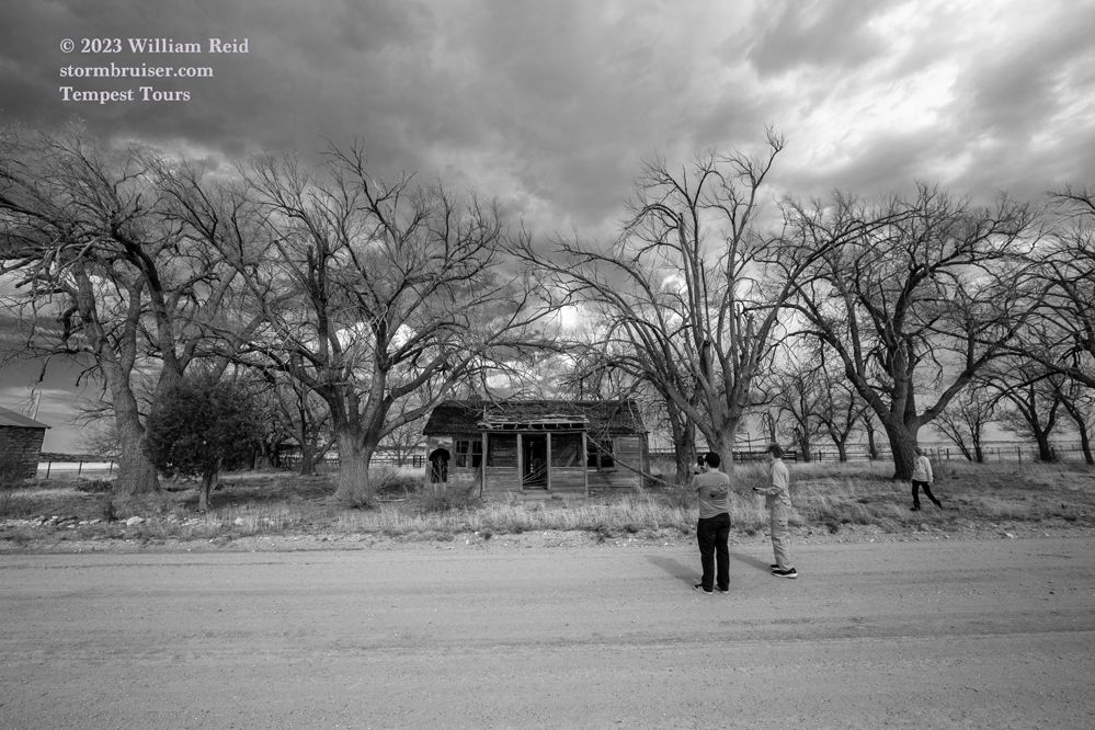
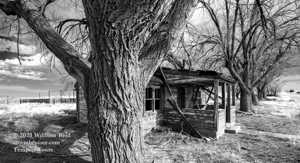
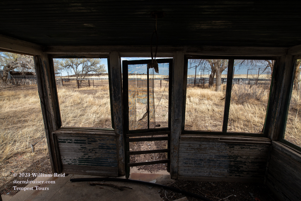
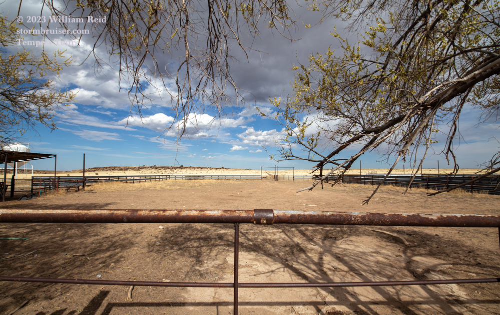
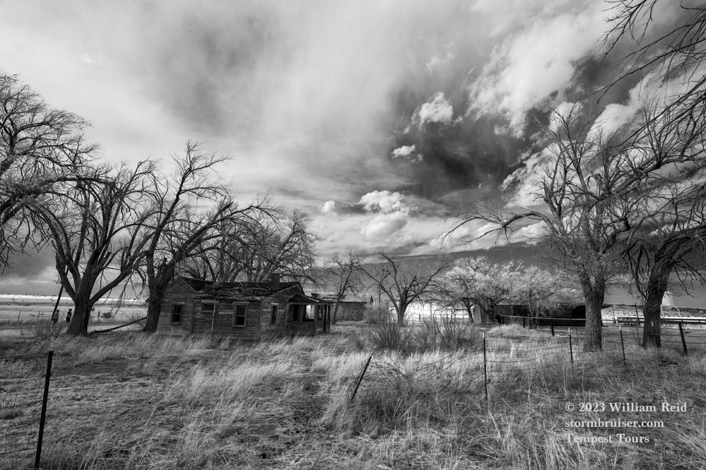
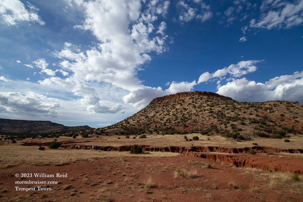
The first set of images is from April 30, at the Muleshoe National Wildlife Refuge (northwest of Lubbock). I discovered…well, I “came across”…a USCRN weather station (Muleshoe 19 S), as well as a cooperative weather station with a MMTS temperature/radiation shield. I observed an extremely low amount of wildlife, but I was happy to see the weather stations.
Note how dreadfully dry it looks here on the last day of April. Fortunately, the wet switch was turned on towards the last half of May.
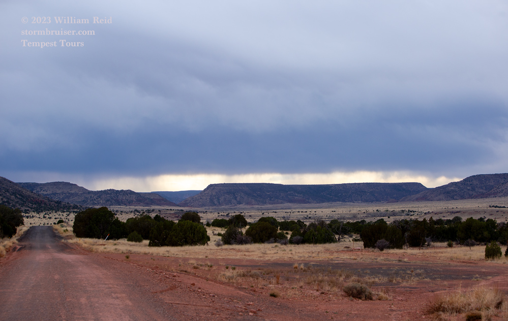
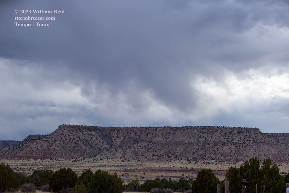
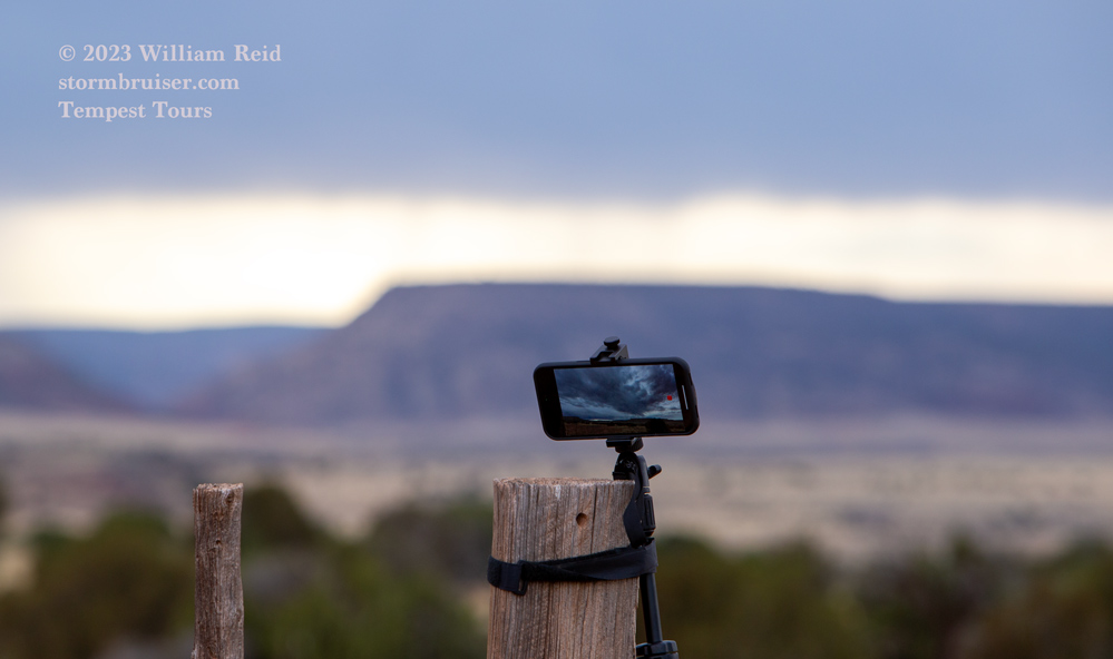
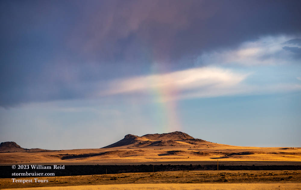
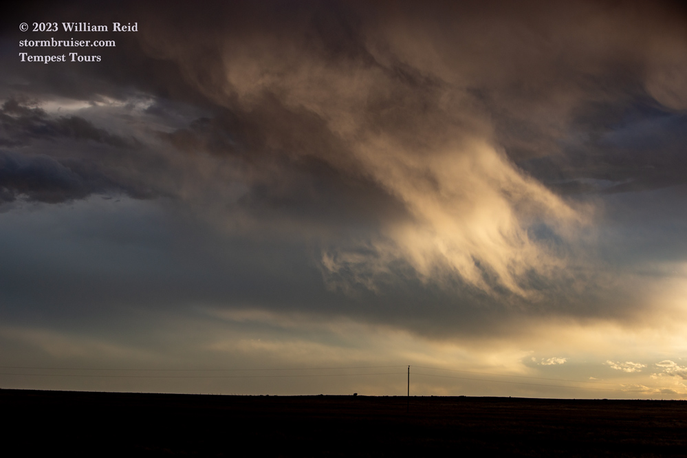
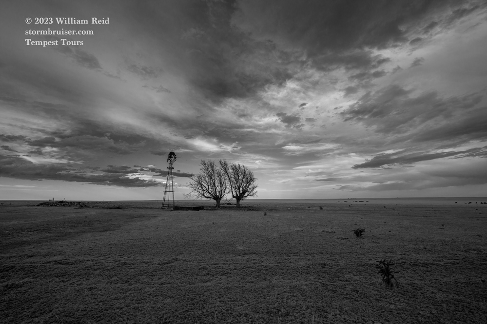
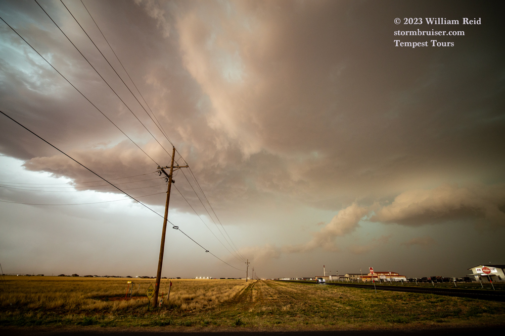
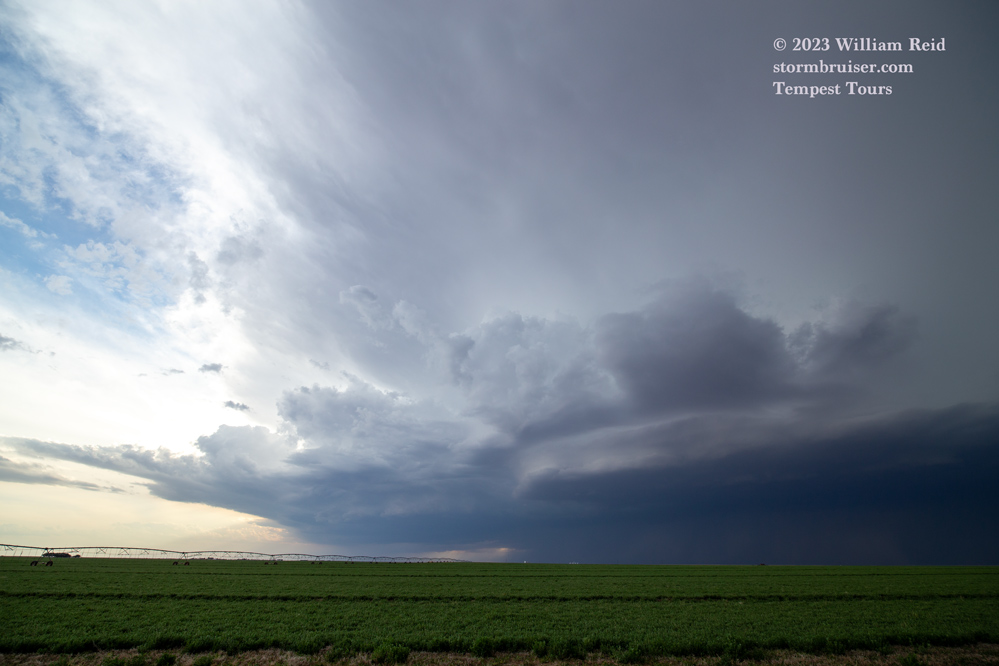
On May 1 there was barely enough moisture for some high-based and junky storms in and around the Raton Mesa. We went up there with the idea that it was a landscape/adventure drive. We wound up with the junky virga-bomb stuff that was expected. The sunset was decent. This was generally from Clayton north to the Cimarron River in New Mexico.
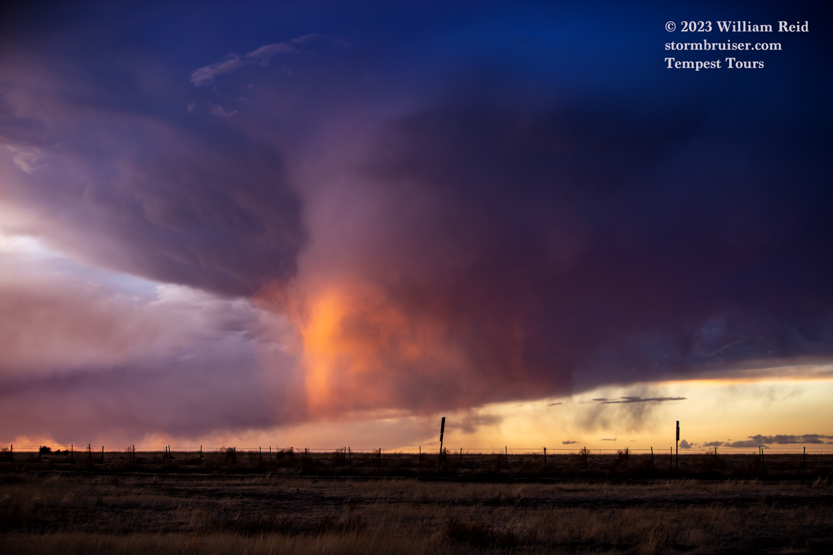
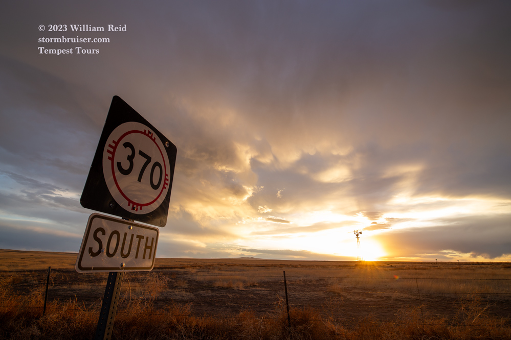
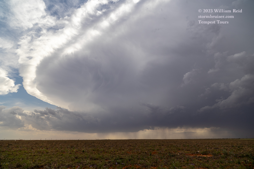
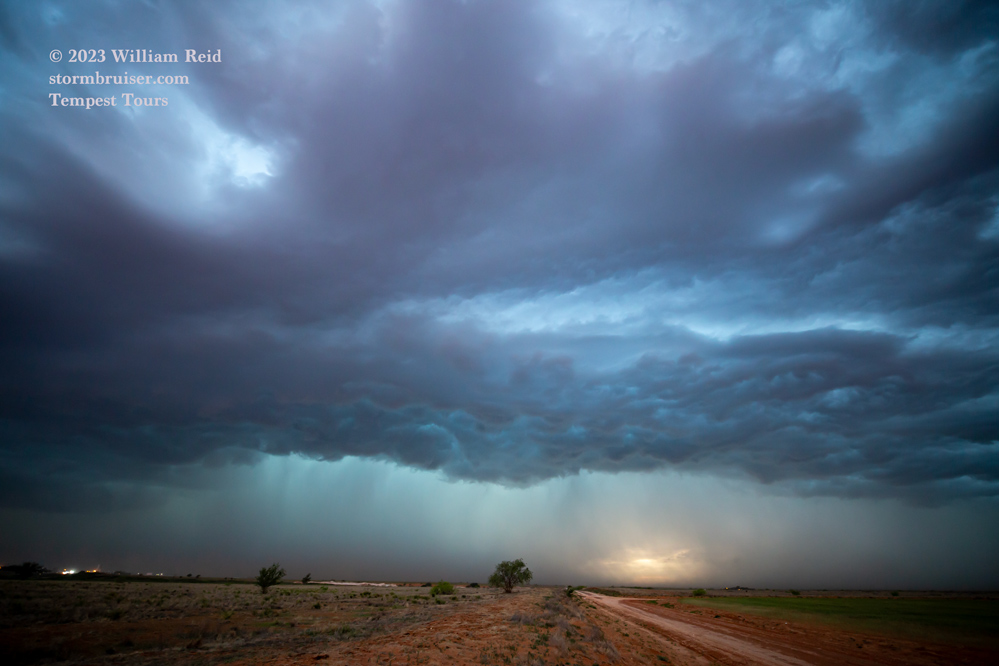
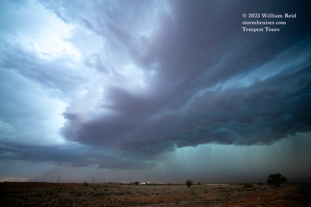
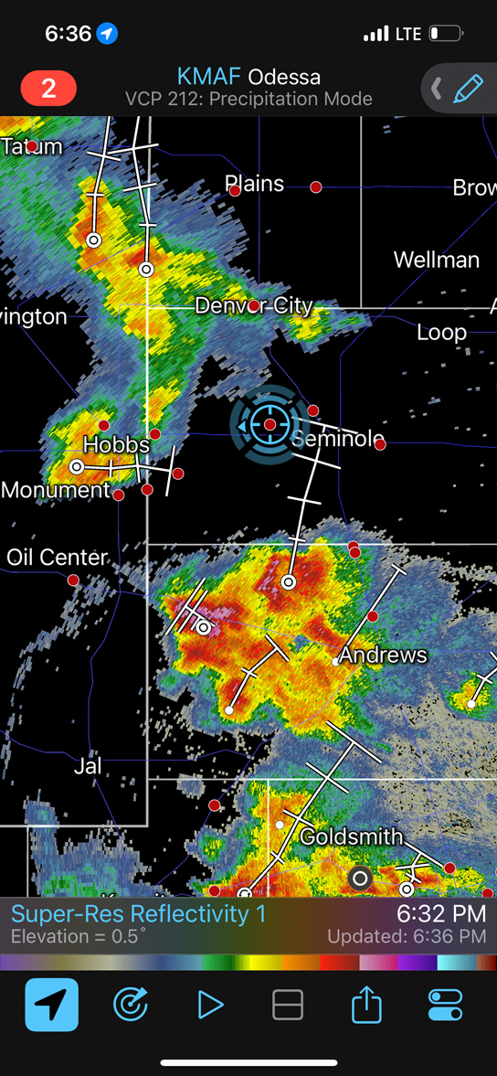
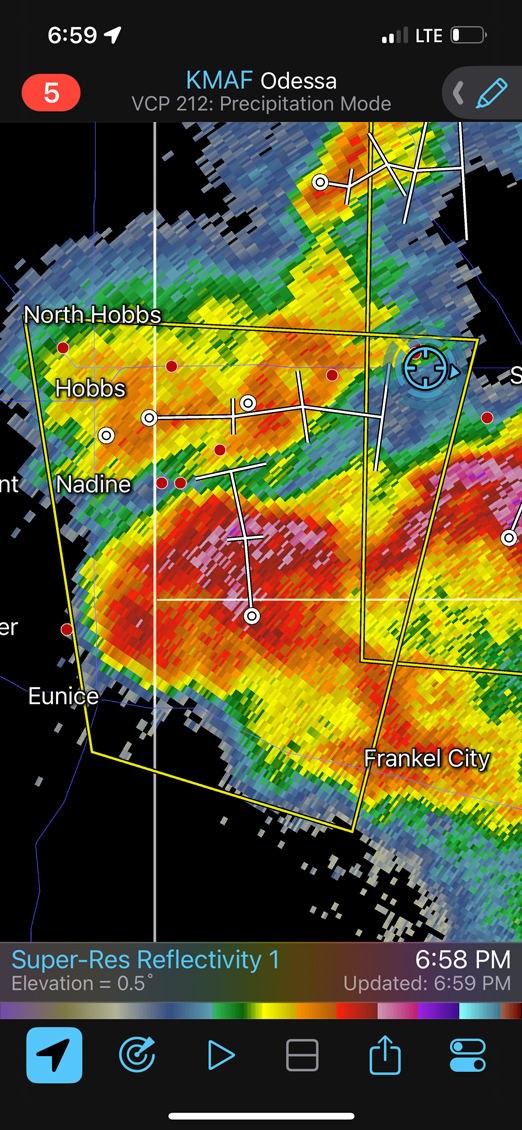
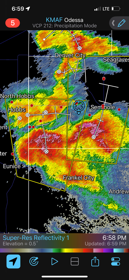
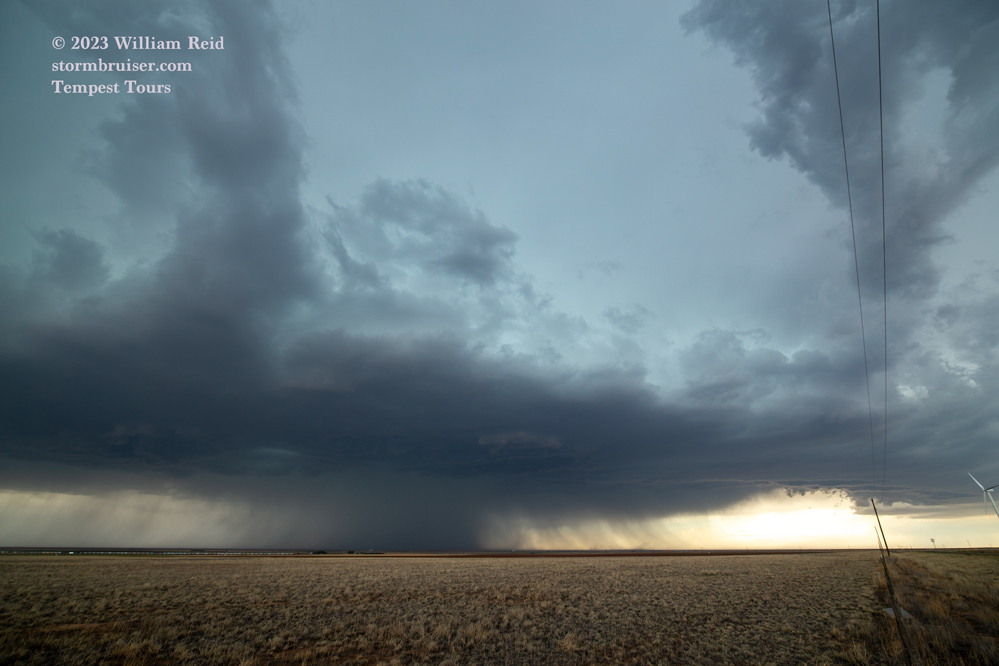
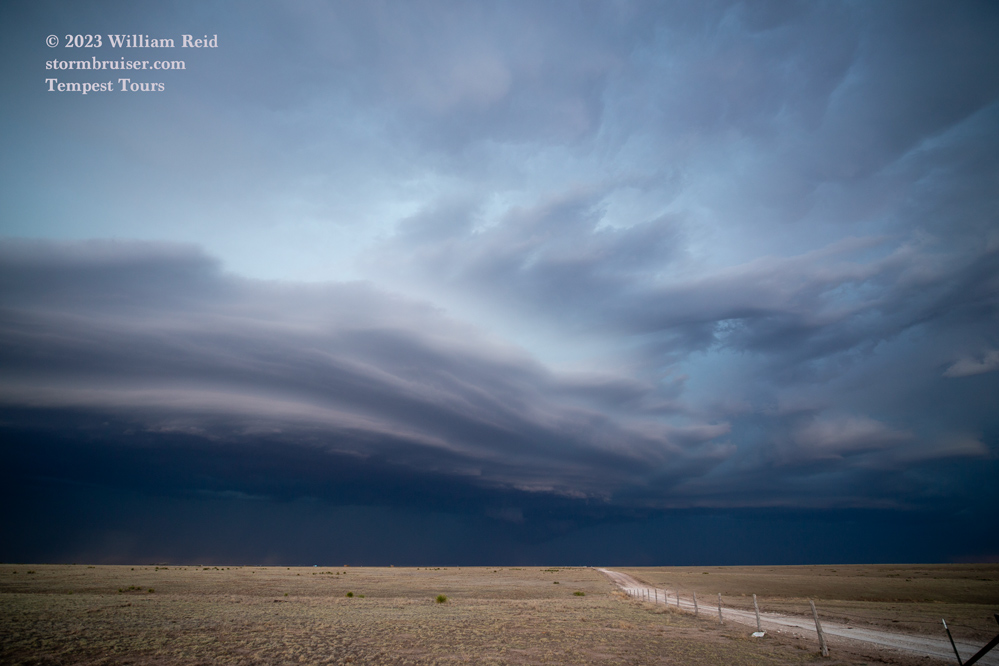
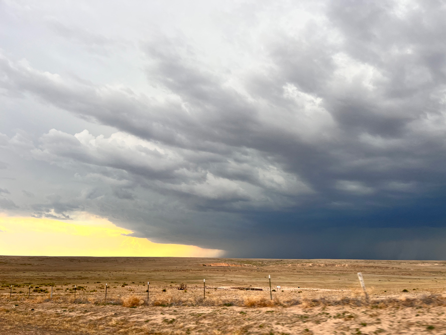
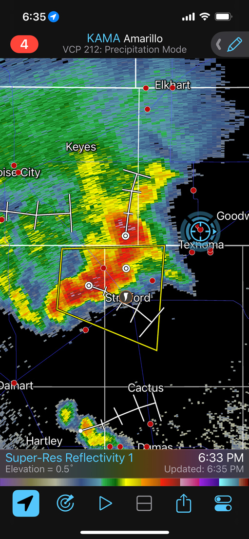
On May 2 we finally had some moisture and a chance for severe weather. But, moisture was much too meager to provide even a small tornado chance. SPC liked the area from Muleshoe to Andrews in the western Texas Panhandle.
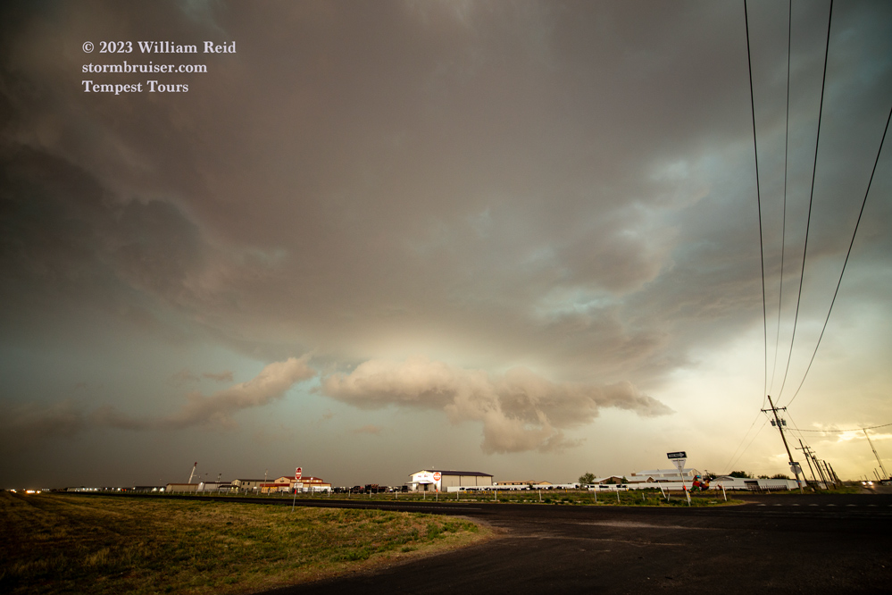
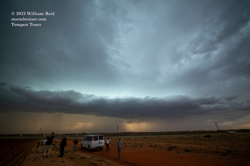
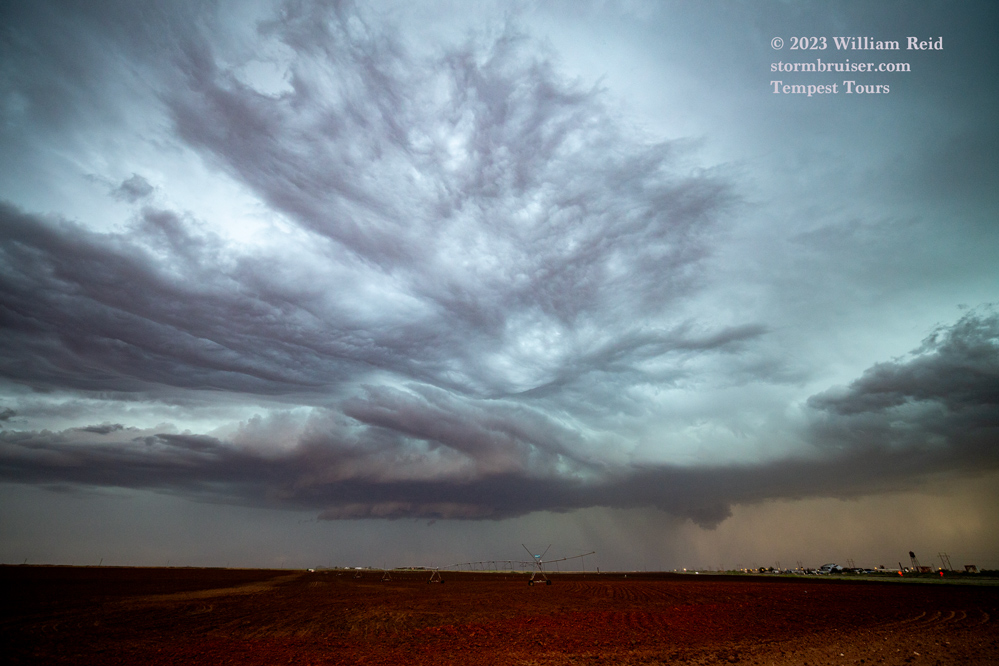
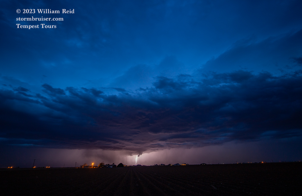
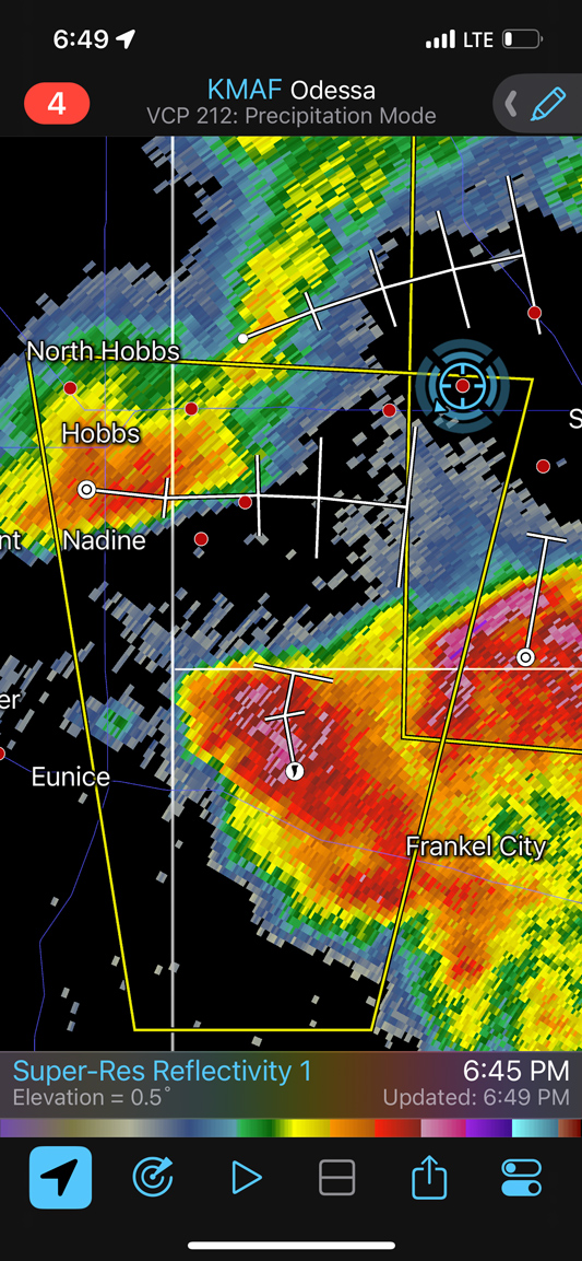
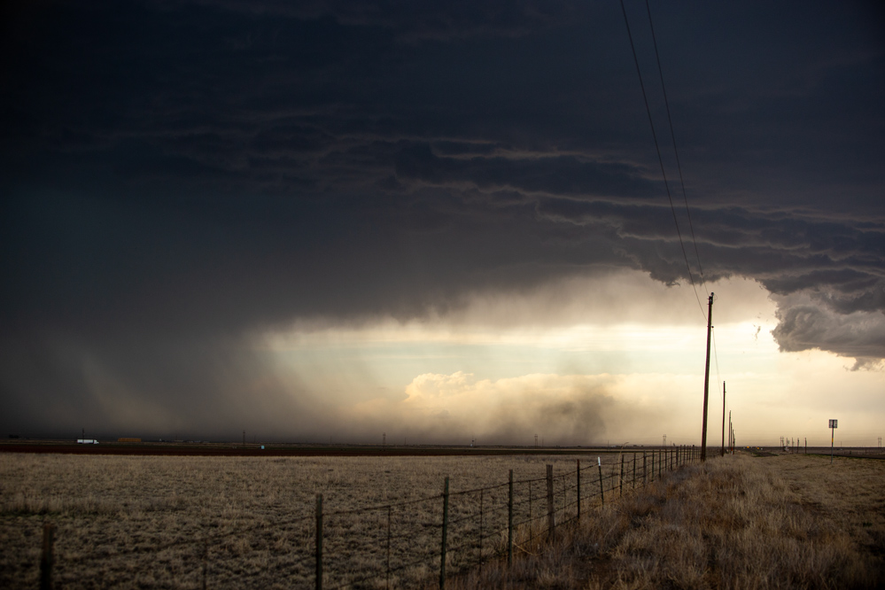
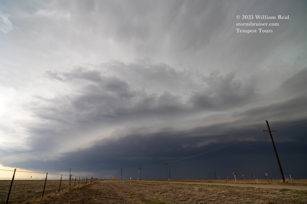
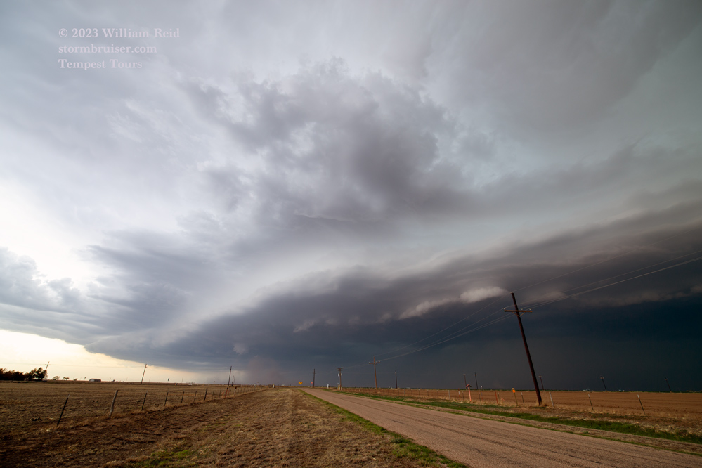
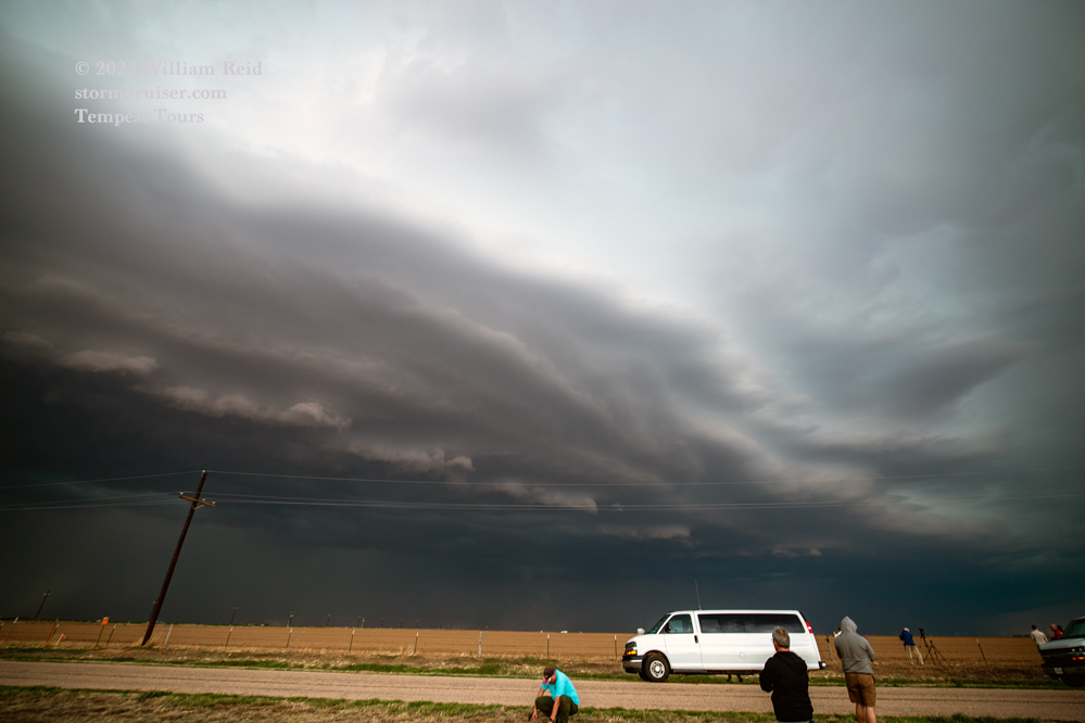
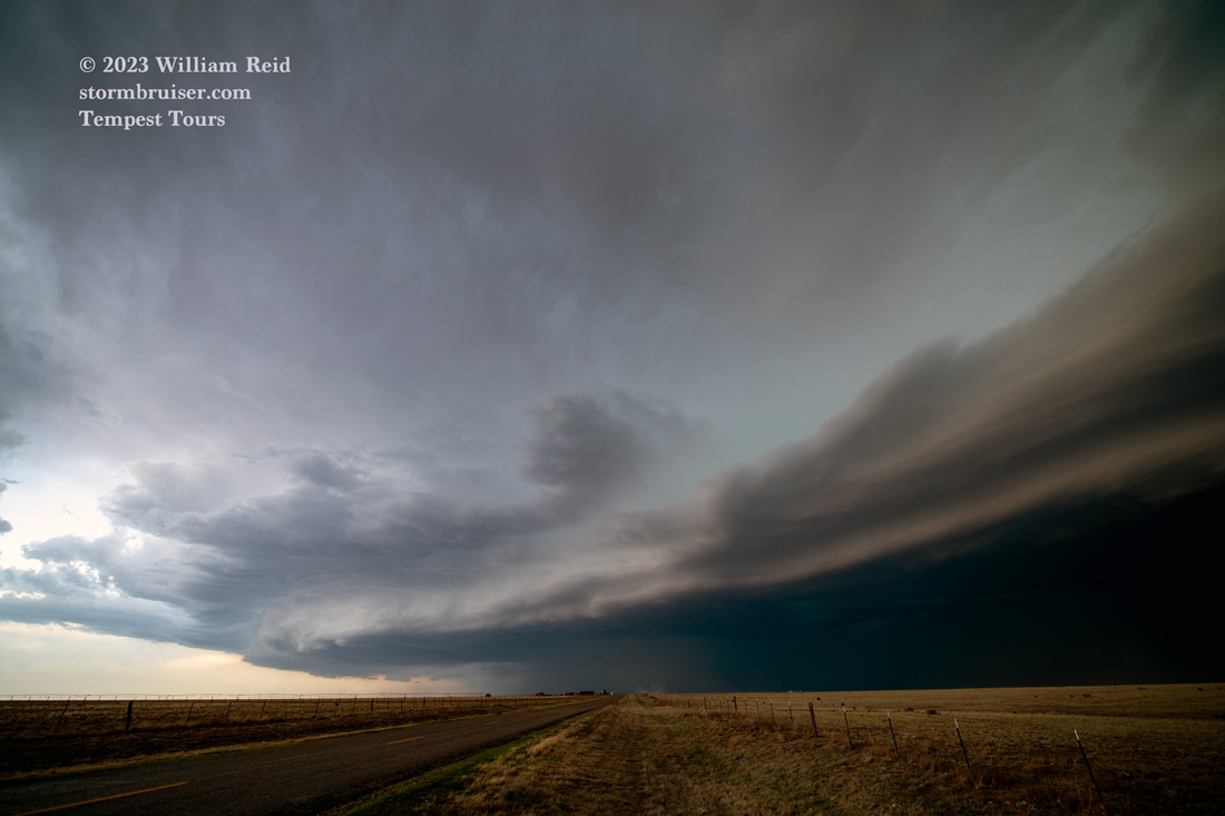
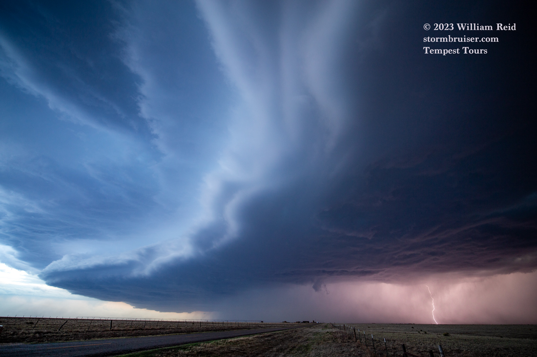
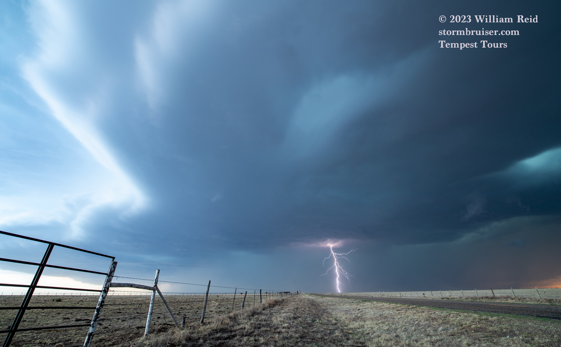
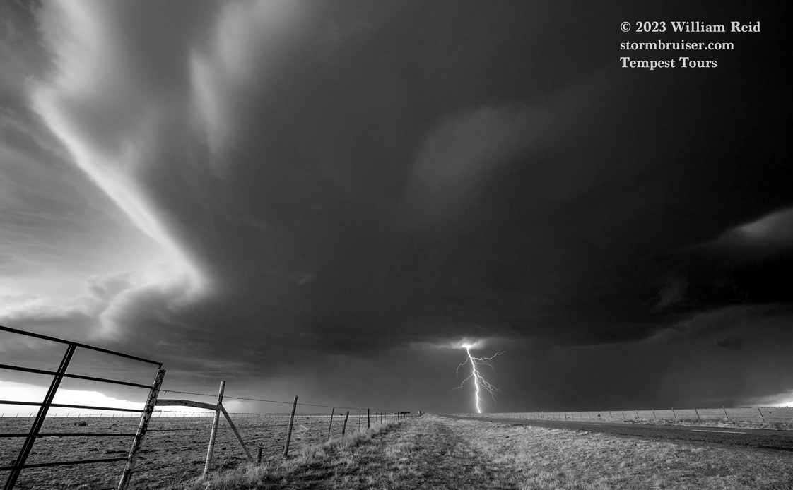
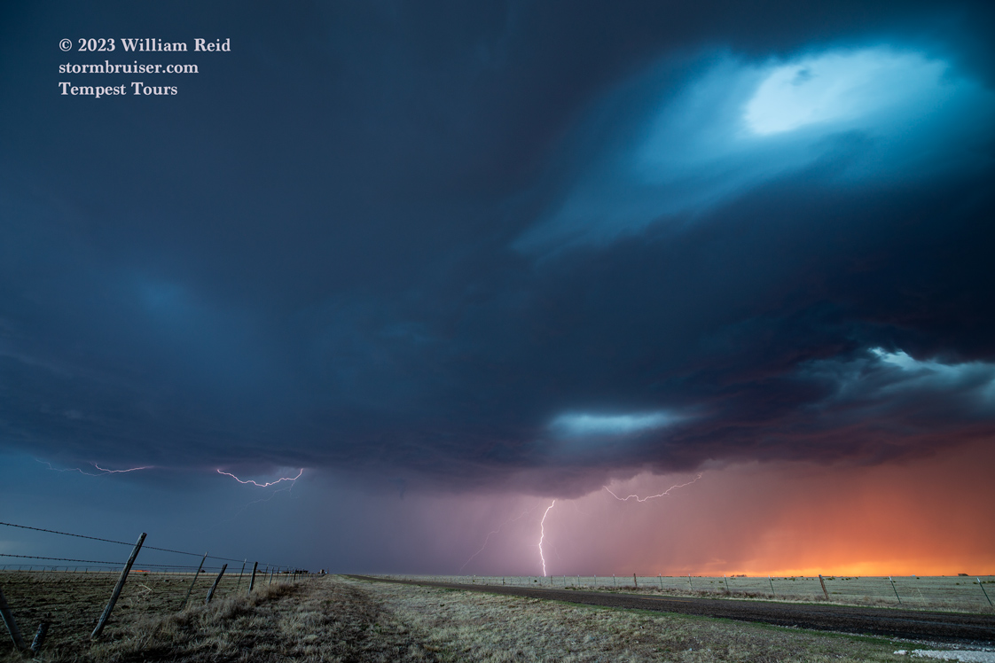
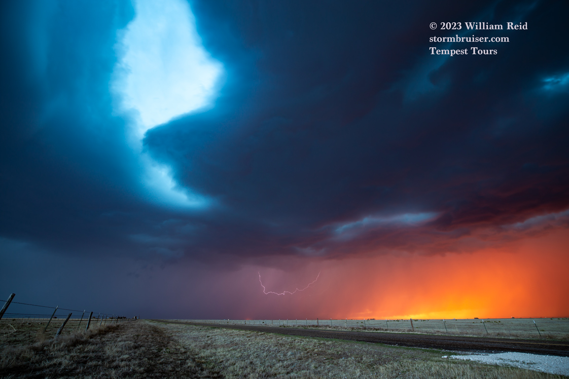
We moseyed south from Texline to the Seminole area, and watched some high-based and weakly-organized cells near the TX/NM border. There was a spike in intensity and the bases came down some towards sunset. The strongest of the cells was moving north, possibly a left-split supercell, and close to Seminole. We stopped north of the town to photograph the structure and occasional lightning.
iPhone images and screenshots for May 2 below:
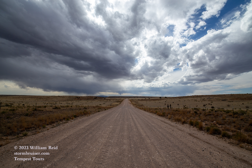
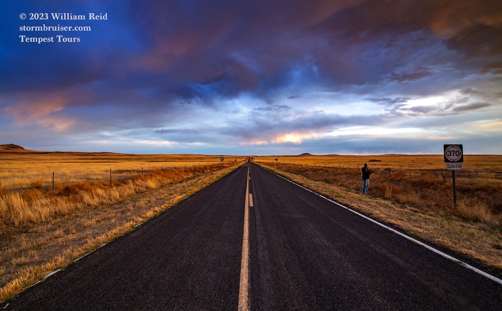
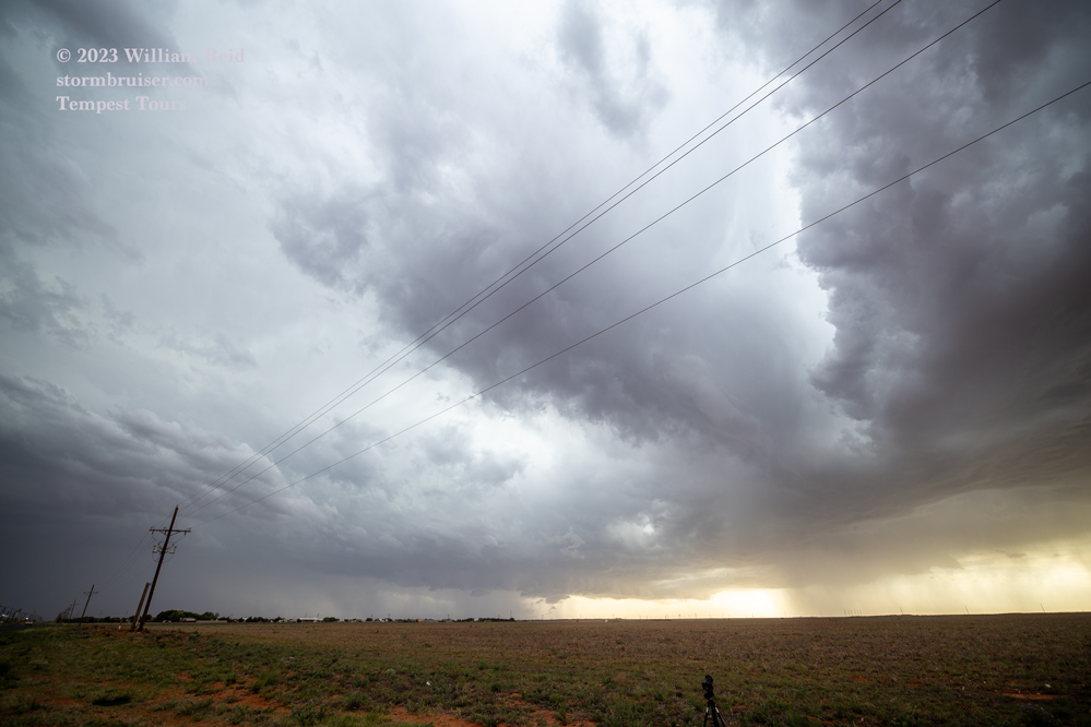
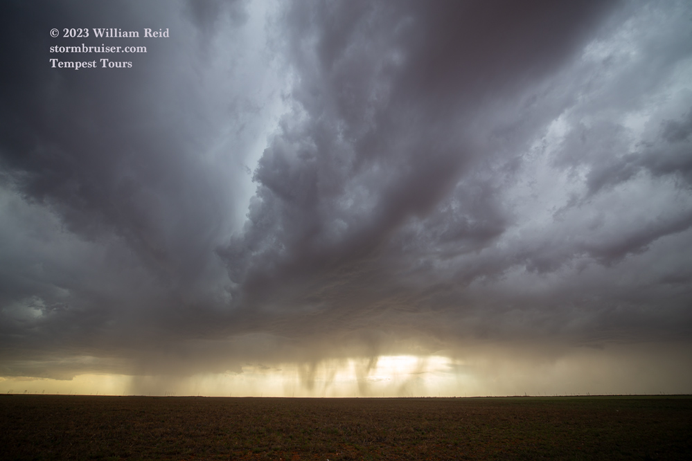
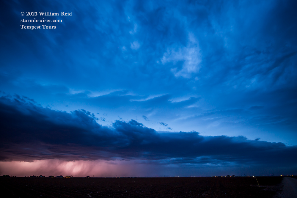
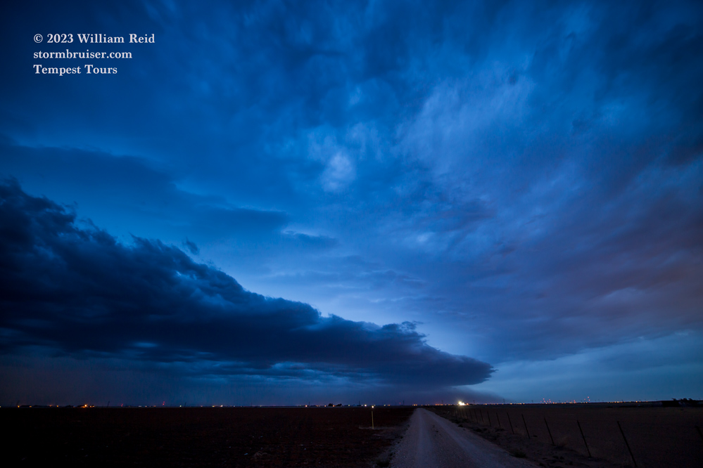
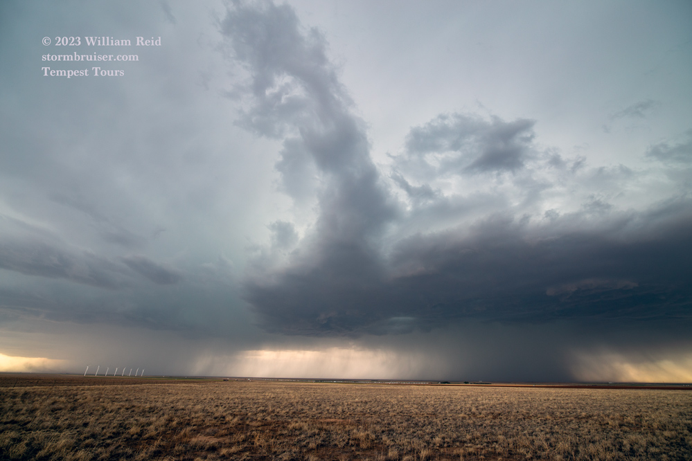
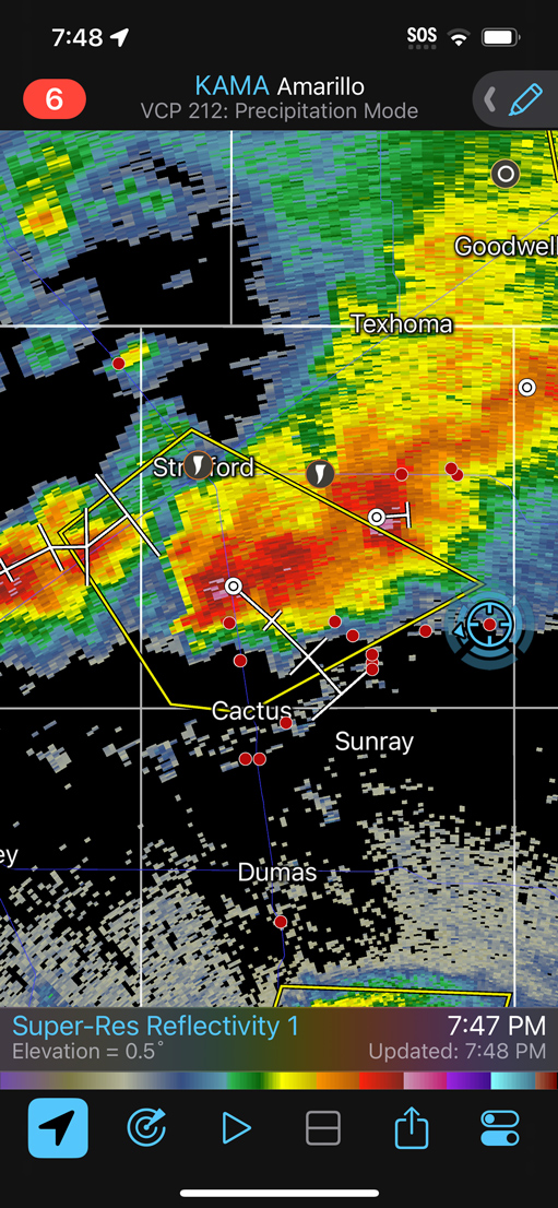
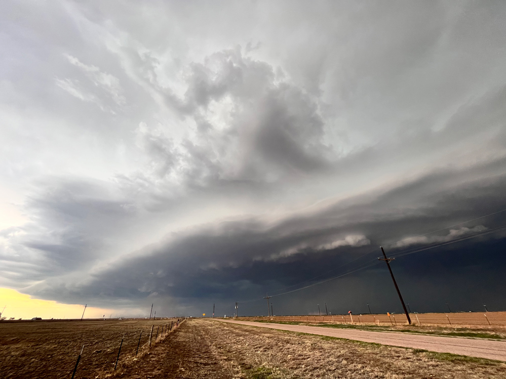
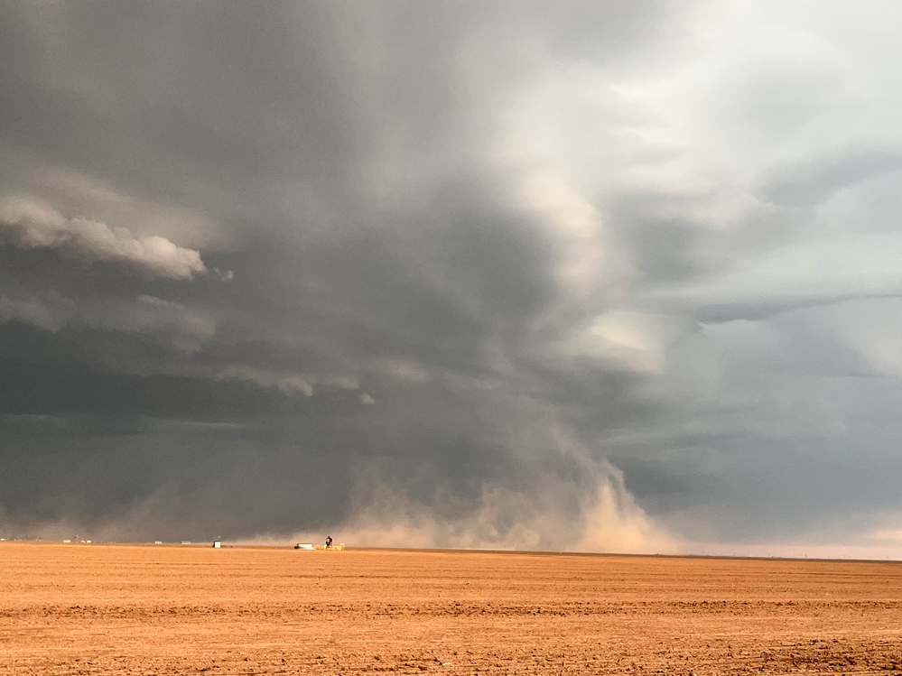
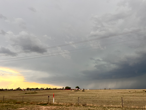
For May 3 we headed north out of Lubbock for the severe weather chance. SPC preferred Brownfield to Sanderson at least a little bit. I forget why I favored the north play. Either way, the tornado chances were extremely low as moisture was again just mediocre.
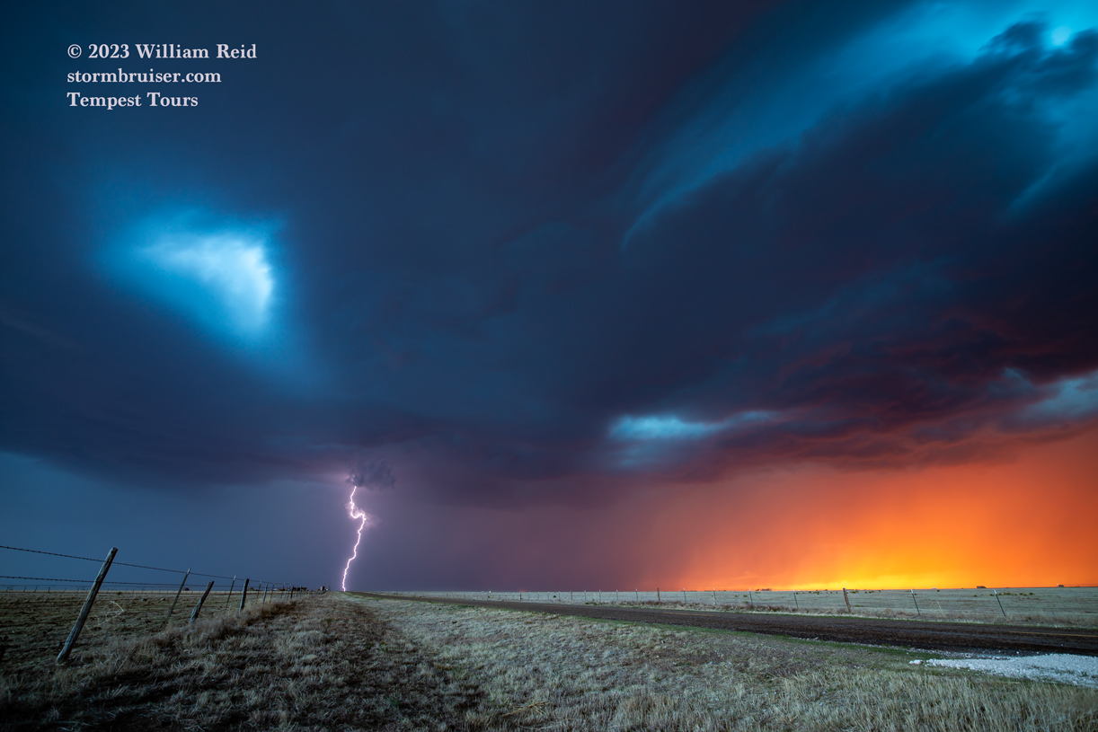
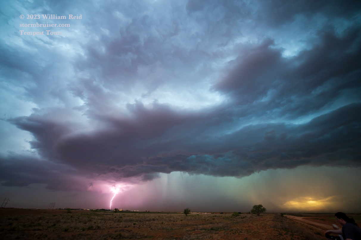
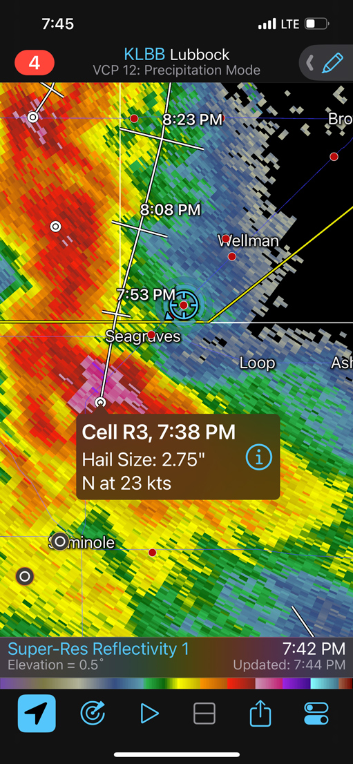
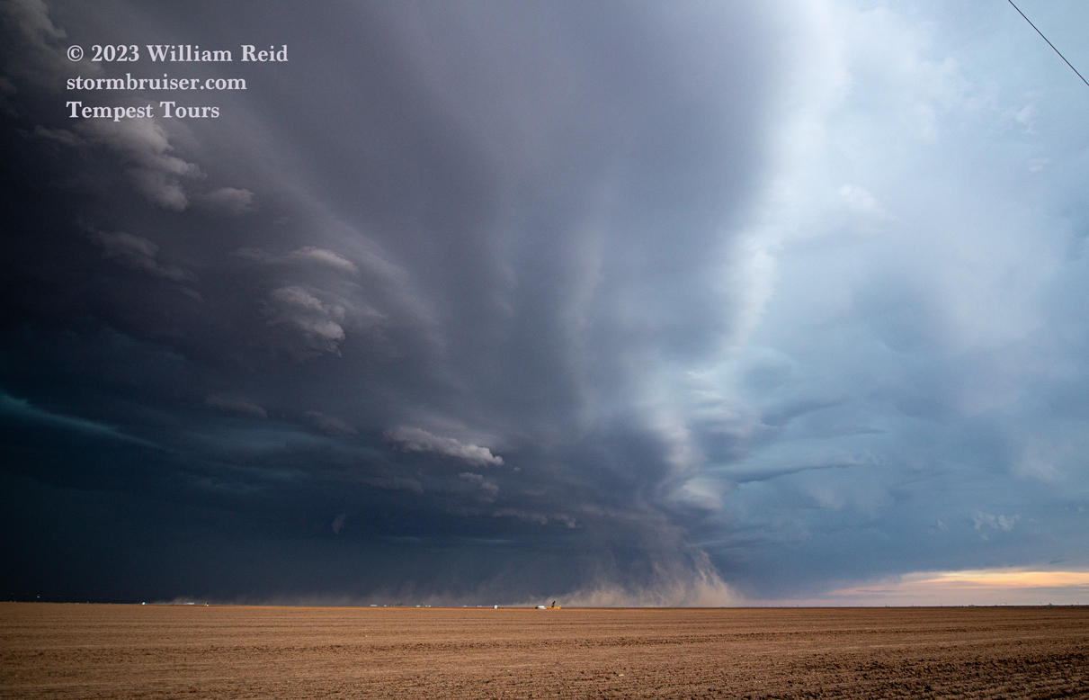
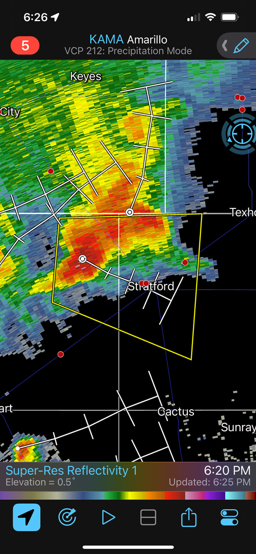
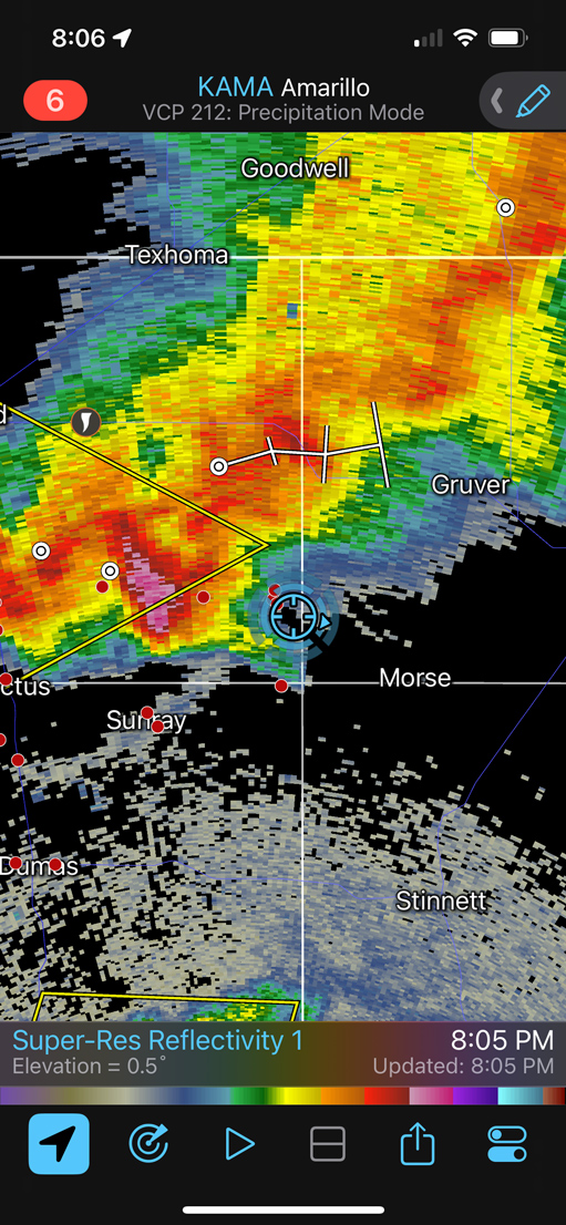
We chased some rather high-based storms with some okay front-end structure from about Stratford to Morse and Spearman in the northern Texas Panhandle. There was some pretty lightning at sunset to photograph – YAY!
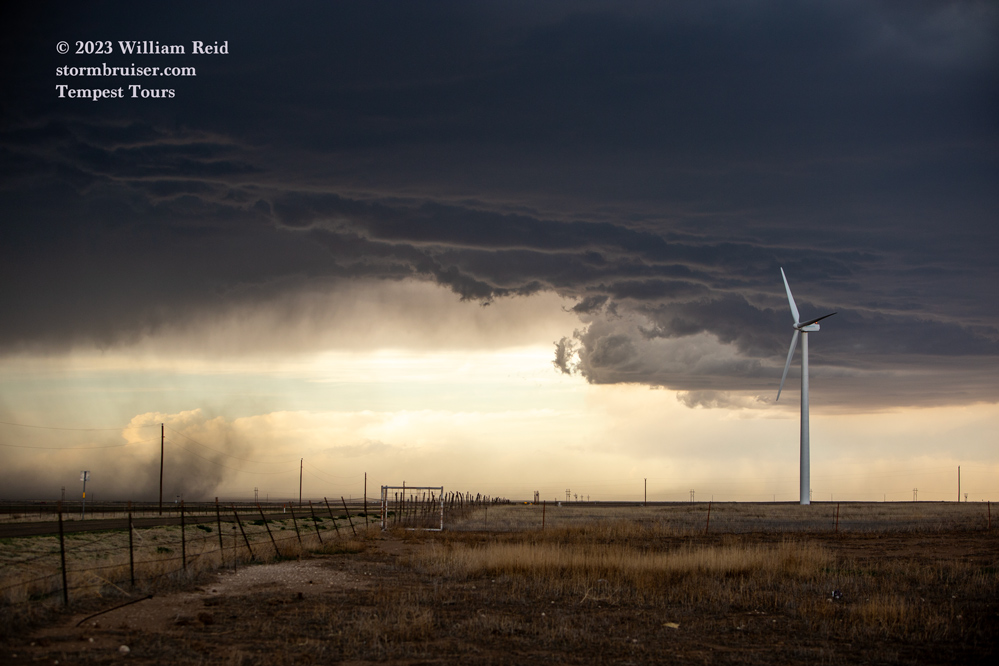
iPhone images and radar screenshots for May 3 below:
Leave a Reply
You must be logged in to post a comment.