Begin: Woodward, OK
Brunch: Pollyanna’s at Woodward
End: Abilene (461 miles)
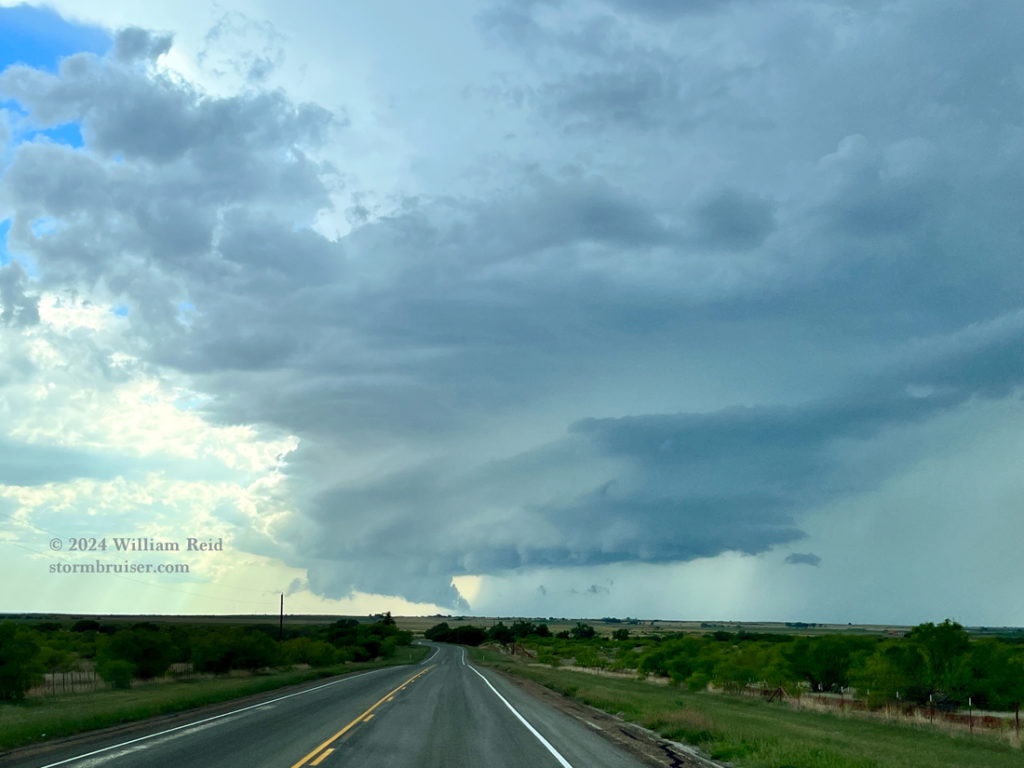
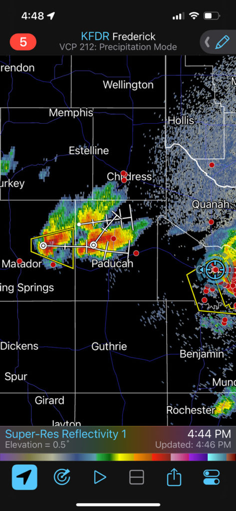
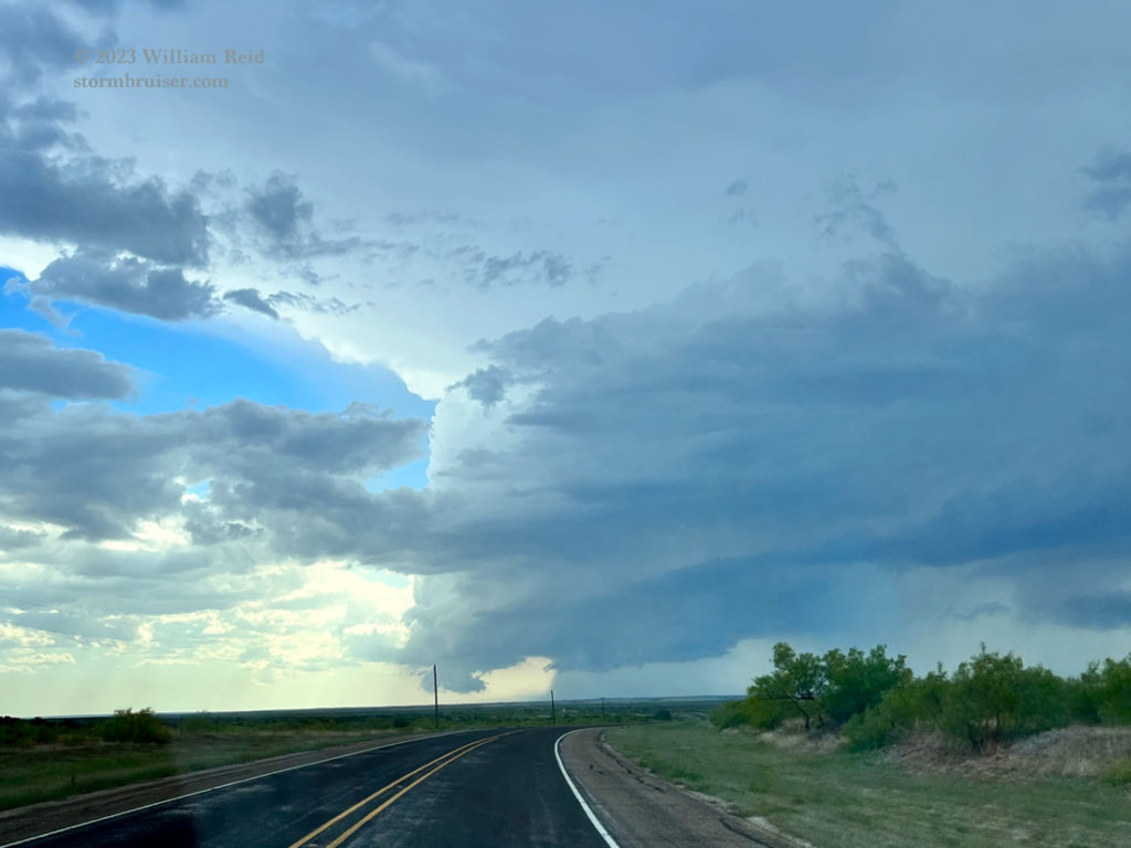
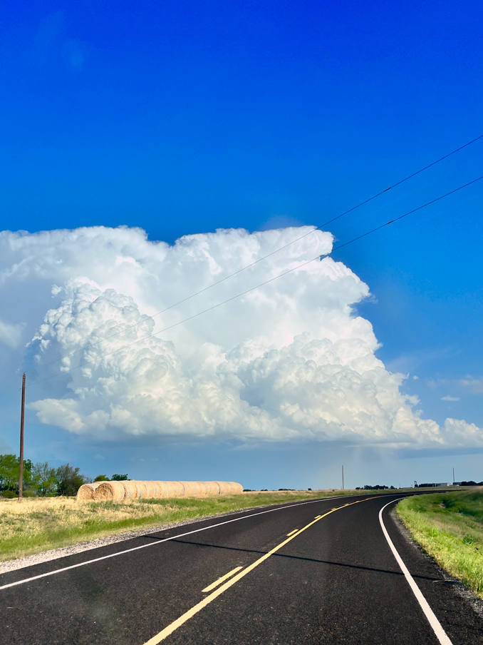
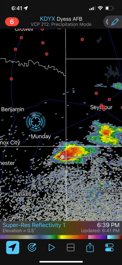
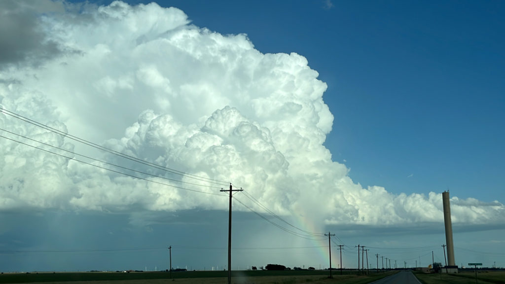
Prospects today looked rather good, at least before the storms went up. Mid-level flow at 40 knots from the WSW was overspreading areas with decent instability near and a bit south of the Red River in the vicinity of Quanah. A triple-point low was nearby. We made our way south out of western OK beneath a lot of mid-level clouds and stopped in Crowell for a chaser convergence circus scene. Strong updrafts were organizing southwest of town. SPC showed a 5 percent tornado risk here, along a E-W boundary. But, a lot of morning convection had done quite a number on the low levels, and the supercell that we first targeted seemed to have a cold look with outflow issues. We were about 7 miles south of Crowell and very close to the spot where we saw tornadoes a year prior on May 4th. Here are some iPhone shots and radar screen grabs (that road heads to the west and the storm updraft base is generally to the WSW):
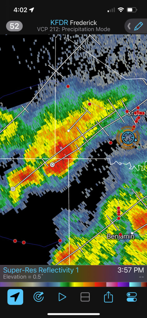
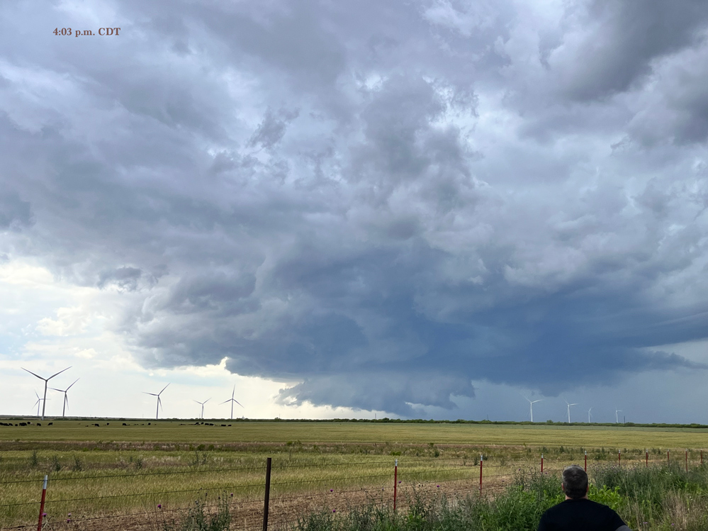
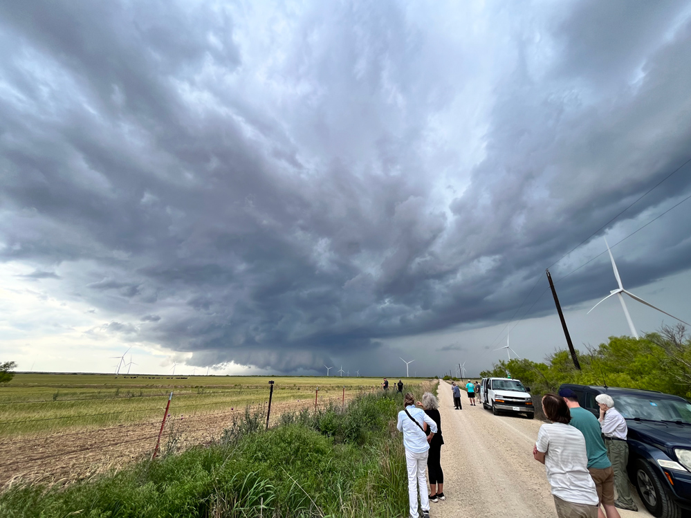
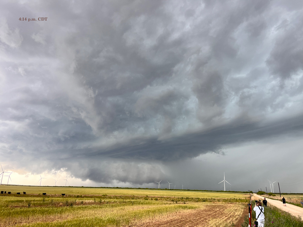
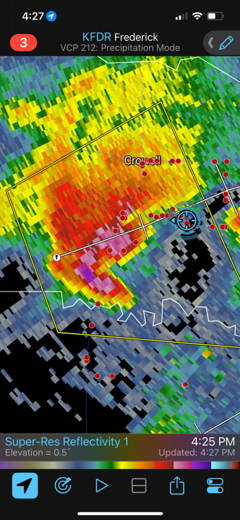
See all of that rain to the southeast of the Crowell storm in that first radar image? It is rarely good when your storm inflow air is being stabilized. Here are some shots from the Canon camera…
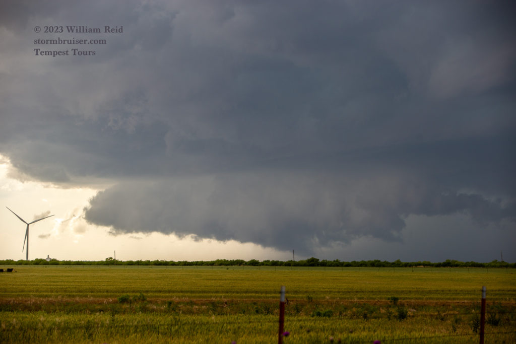
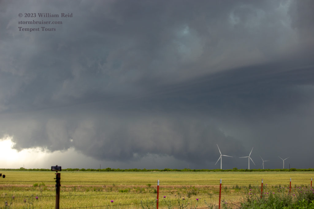
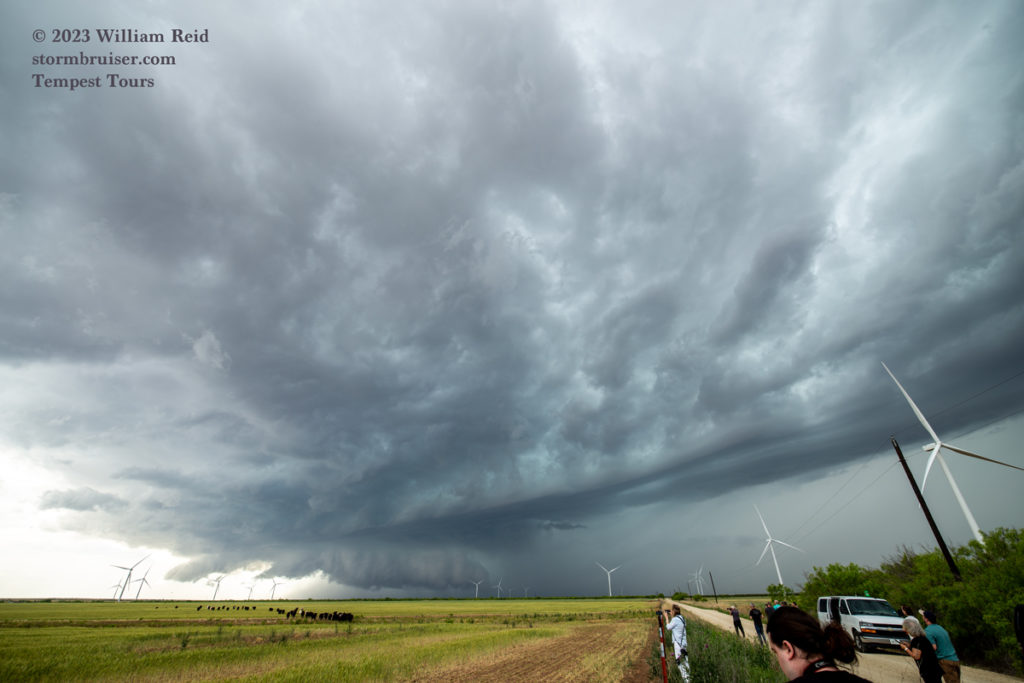
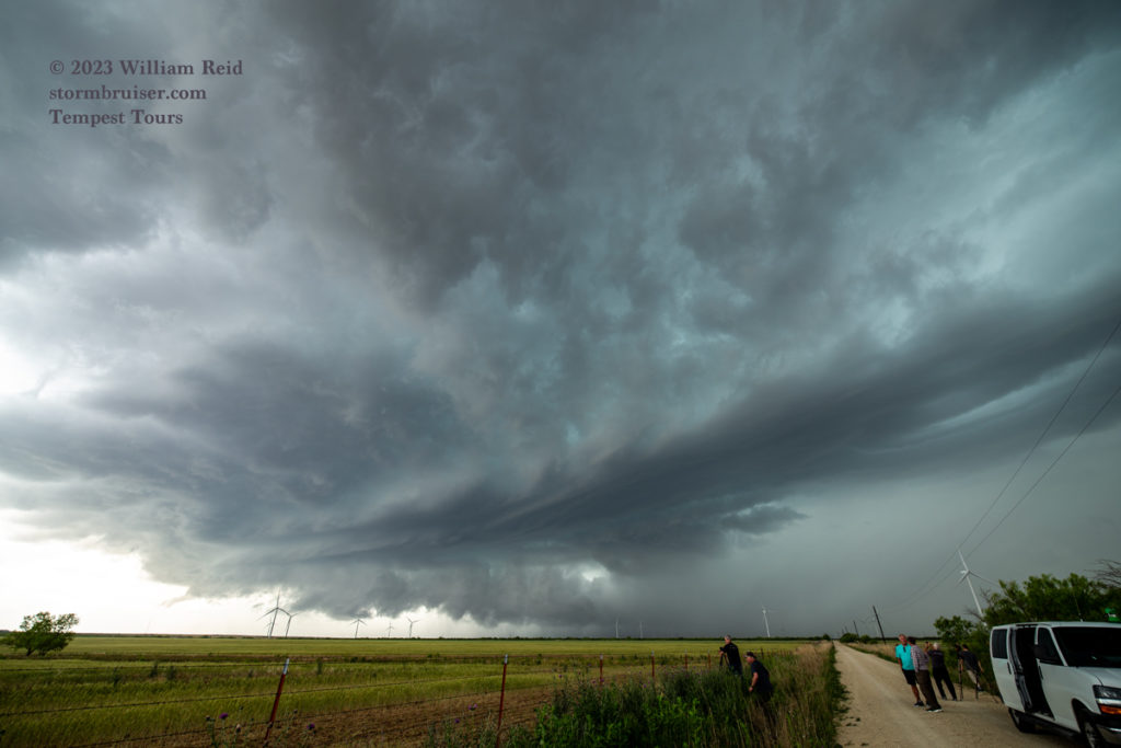
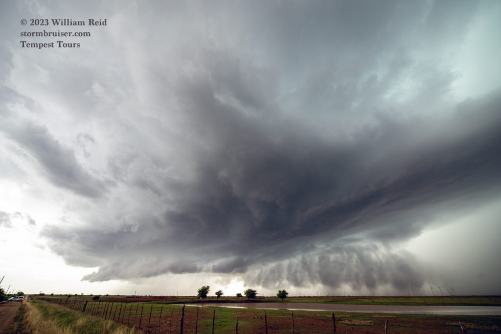
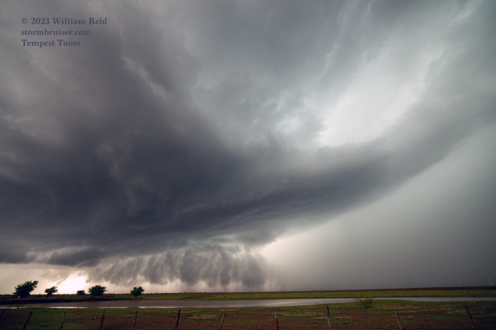
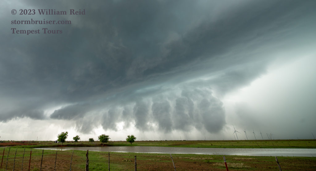
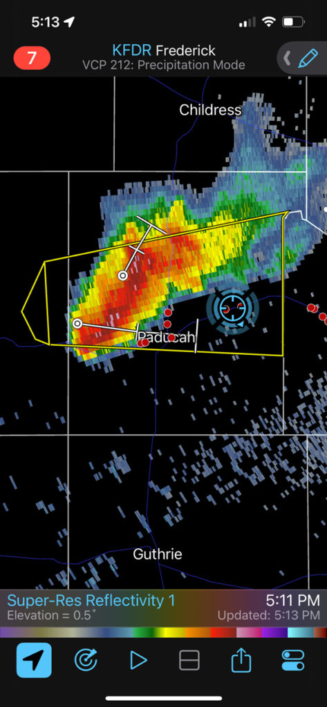
So, here we had a decent supercell that had cold outflow issues, moving into worked-over air with hundreds of chasers milling about. That is not a dream scenario for a storm-chase tour director. A check of the radar showed relatively new stuff, and newly-warned stuff, about a county and a half to the west, near Matador and Paducah. It looked like these two might be moving into low-level air which was a bit more favorable/less hostile. I headed back north to Crowell and bid adieu to the chaser hordes. West we went on 70.
The lead cell over Paducah croaked, I think, and the trailing cell persisted. As we neared, its structure was not bad at all! And, it had a much better wall cloud than our Crowell storm did. This supercell was the opposite of a cold and outflowing junk storm.

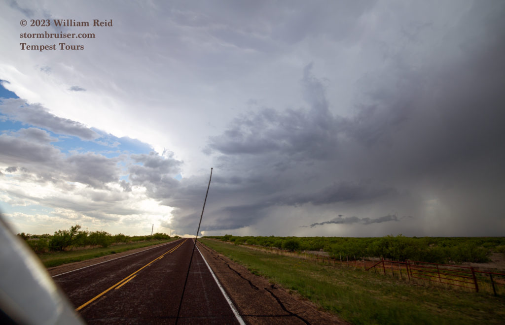
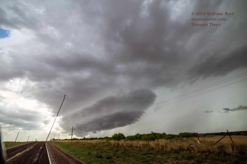
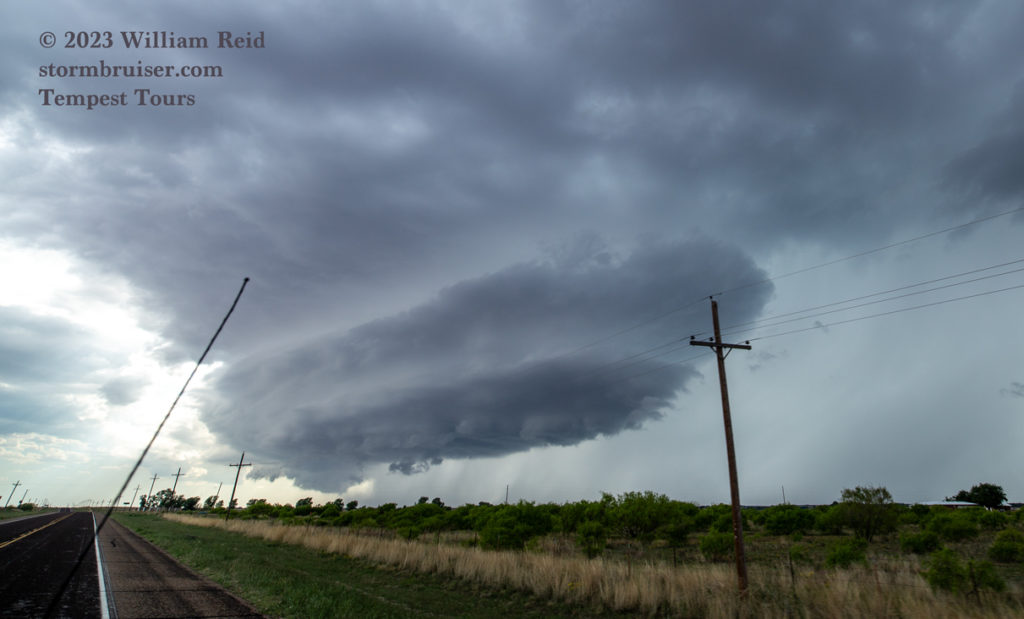
I was a little nervous about the storm that we had abandoned, as I think it was tornado-warned. But it was moving into a road void and it almost certainly was not suddenly going to look good again, right?! (It was unable to impress much after we left it, as far as I know.)
I had high hopes for a little bit with our Paducah storm. But as we neared the updraft, near Paducah, the supercell decided that it was time to give up the ghost. We stopped just south of town and there was little or no updraft remaining! Why did it croak? I think it was undercut by a rain-cooled-reinforced boundary that was sagging south from the Red River area. This was the boundary that we were counting on to provide tornado fun. But if there is too much morning rain and cold air on the north side and it can’t stop edging southward, then our nice supercells get undercut.
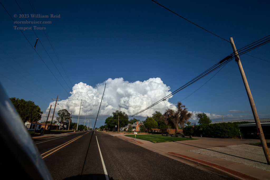
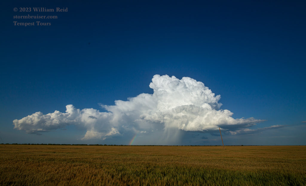
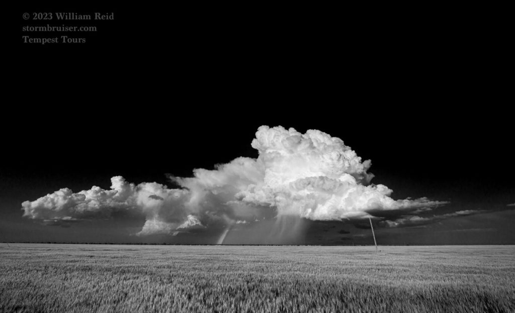
We tried to salvage something with the remaining daylight hours farther to the southeast, near Munday, but our little updraft was content to be only pretty and not very strong.

Leave a Reply
You must be logged in to post a comment.