Start: Lubbock
Lunch: The BBQ Shop/Muleshoe
End: Muleshoe
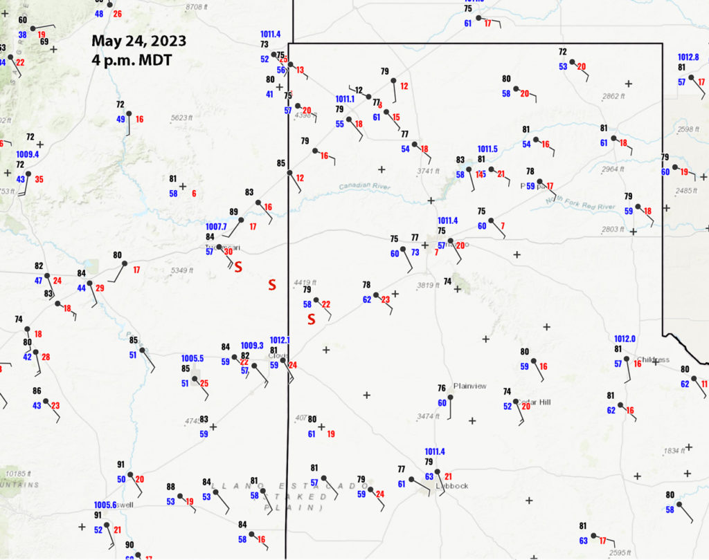
Surface Map at 4 p.m. MDT above
Finally, a rather good severe-weather setup with a tornado chance was in place on the High Plains. This was roughly along the NM/TX border from about Hobbs to Clayton. The target area for our group was generally along I-40. A lobe of good instability was poking up towards Tucumcari, with dews well into the upper 50s on stout southeast surface winds. We enjoyed a BBQ lunch in Muleshoe and continued to the northwest. From San Jon we drifted west to the east side of Tucumcari to watch some updrafts develop in the mid-afternoon sunshine. Life was good!

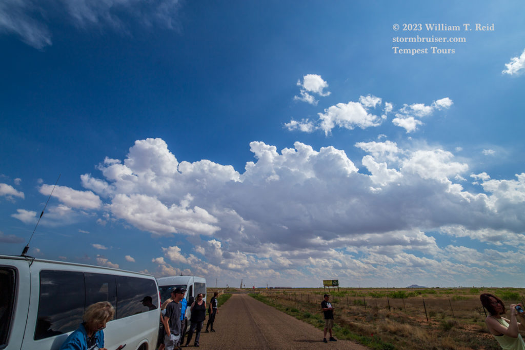
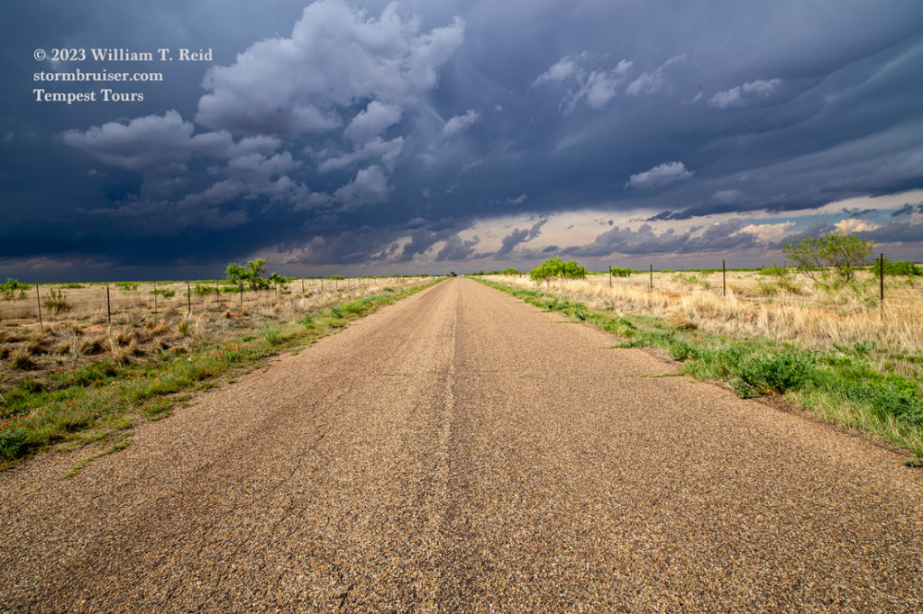
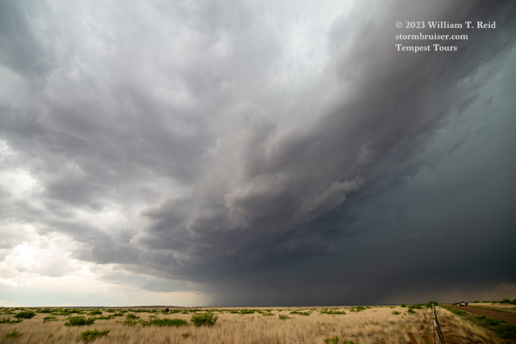
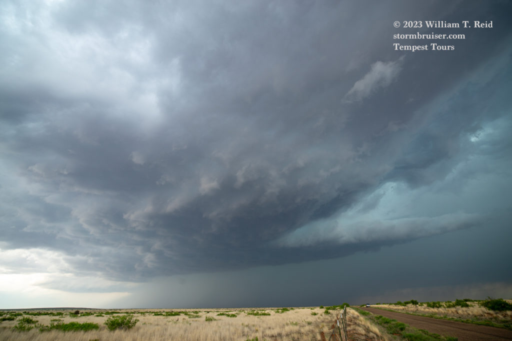
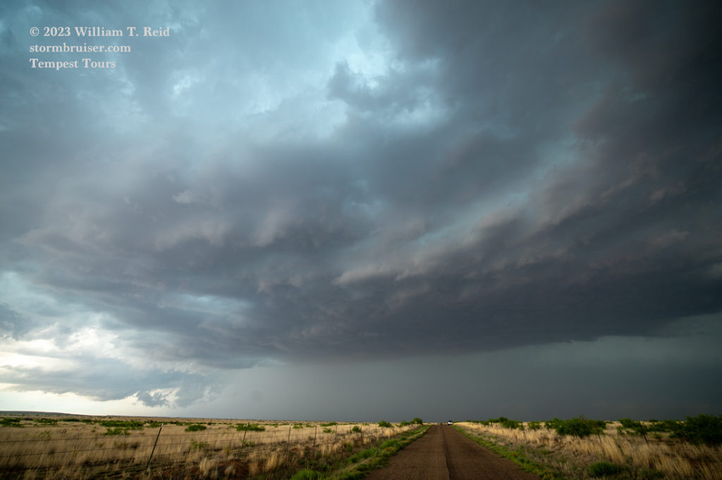
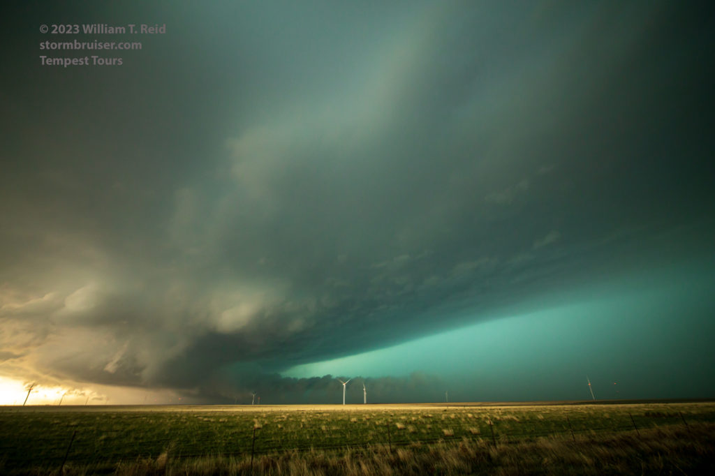
A large rain-free base took shape on the north side of Tucumcari. In the last image above, another base is in the distance on the left (view to the north here, I think). This trailing updraft started to become the dominant one, and it turned into the surface inflow. Its southeastward track took it quite close to Tucumcari and then south of Interstate 40.
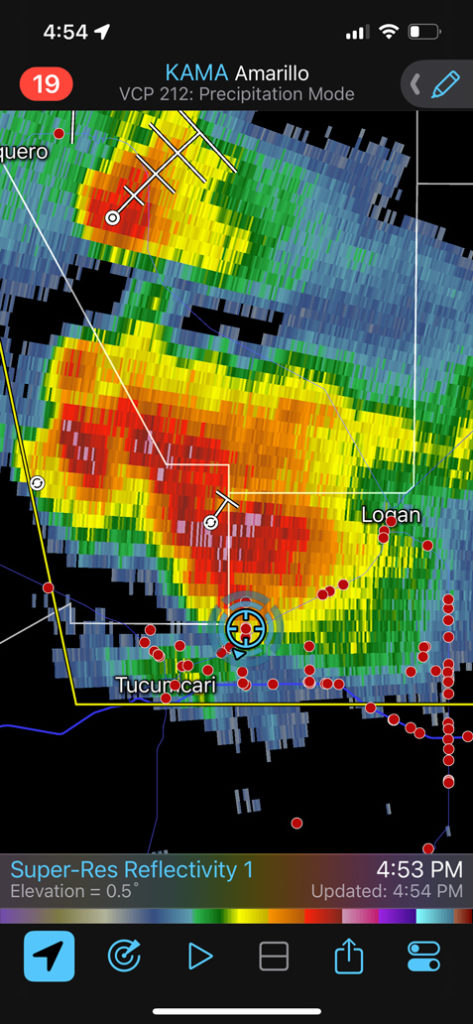
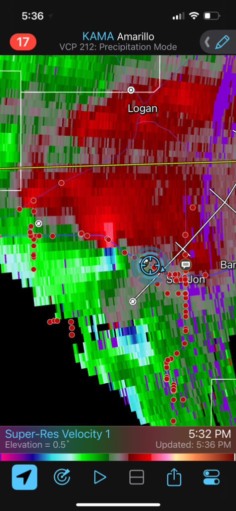
Below are the iPhone screenshots and images during this timeframe to about 5 p.m. MDT. Look at how that core on the west side intensified from 4:53 to 5:13 p.m. MDT. During this stretch we sagged south to I-40 to remain due east of the primary action area. Chasers (the red dots) were lined up from Tucumcari to San Jon, with a handful south of San Jon along NM State Route 469.

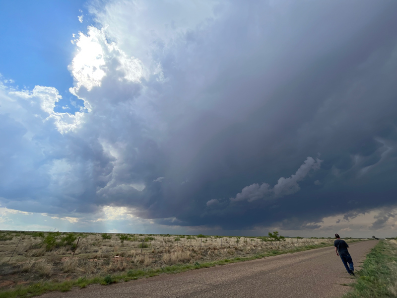
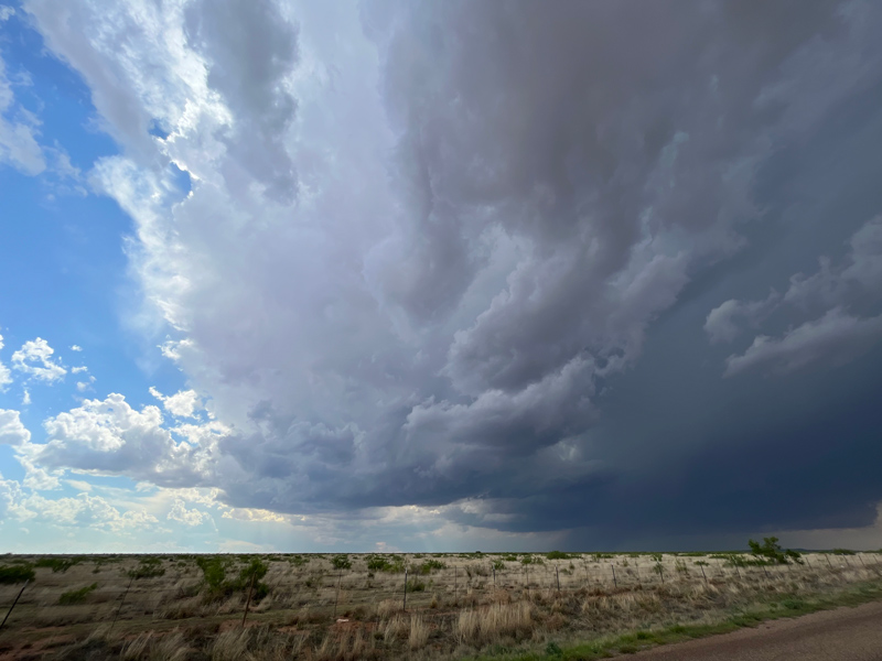
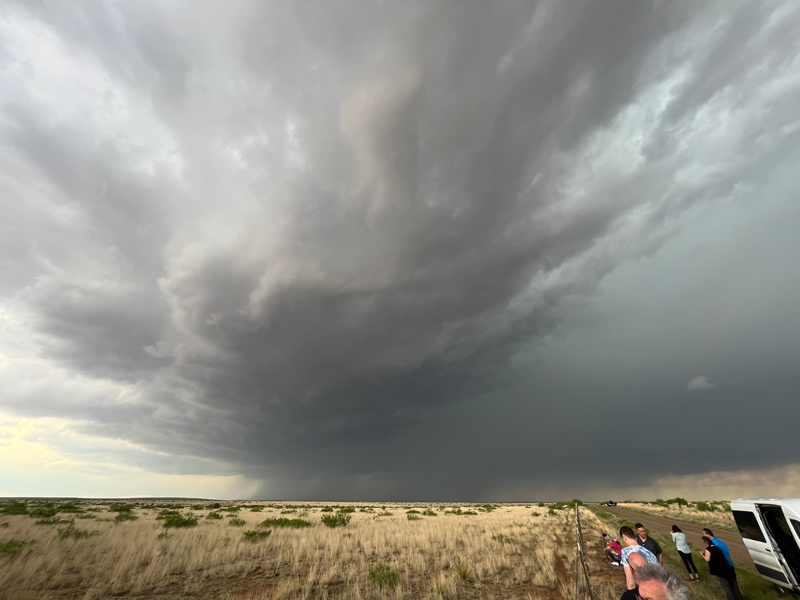



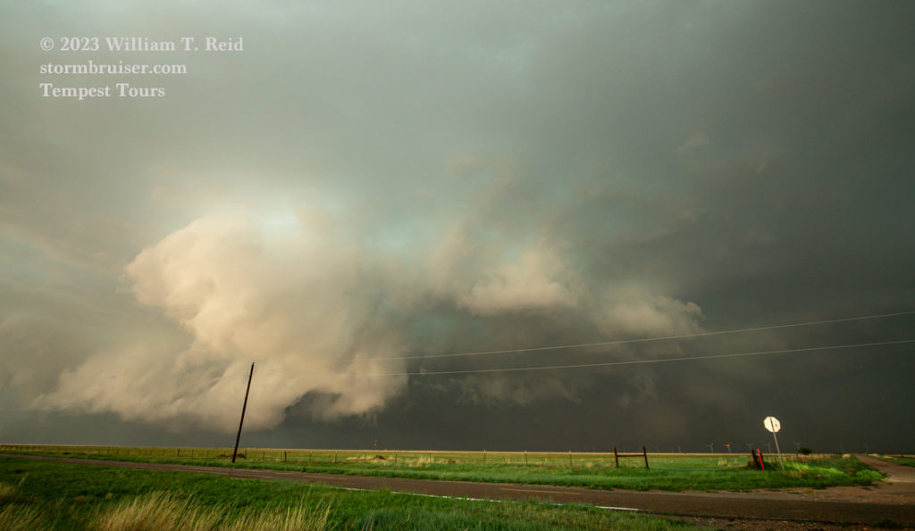
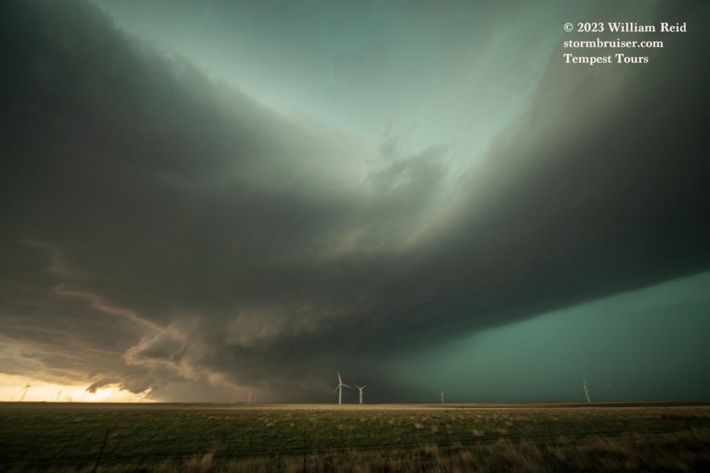
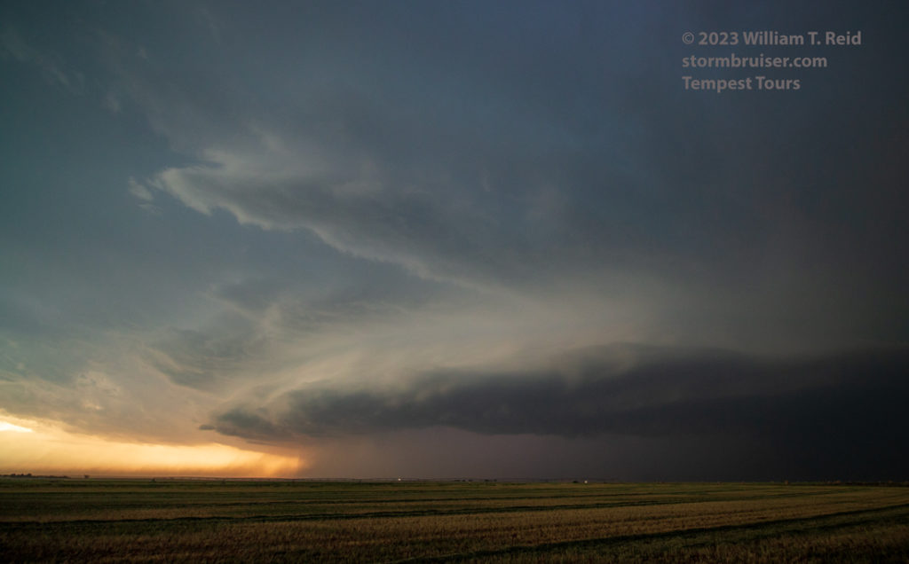
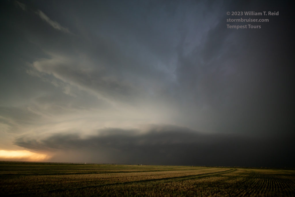
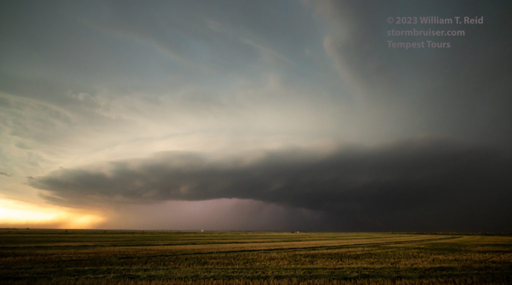
We had a splendid view of a sculpted storm updraft for a little while along I-40, between Tucumcari and San Jon. (see the wide angle Canon set below). As the more-distant storm base to our west sagged to the south of I-40, low-level inflow bands developed overhead. It looked like the westernmost updraft ingested the smaller sculpted updraft to its east. This was good, as it left us with just one beastly supercell to contend with.
We could easily see the very low storm base in the distance. But, there really was no way to get close to that along I-40 without getting smacked by large hail. The only road option for now was the one south out of San Jon. We stopped a few miles south of San Jon for some zoom shots of the active storm base, including some possible funnel clouds. See the last five images below.
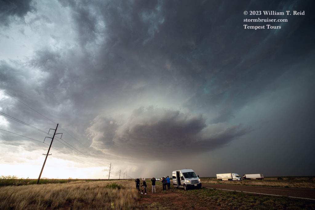
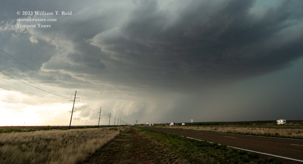

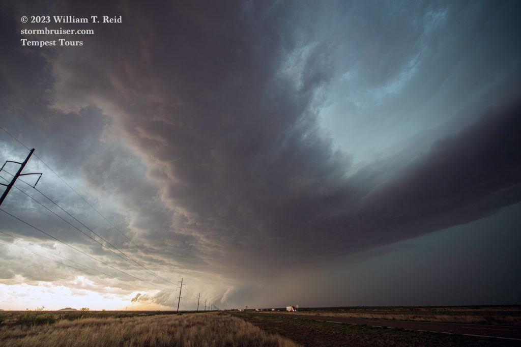

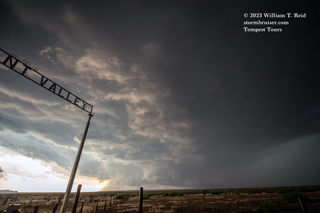

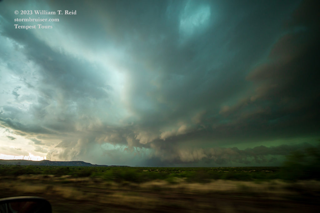
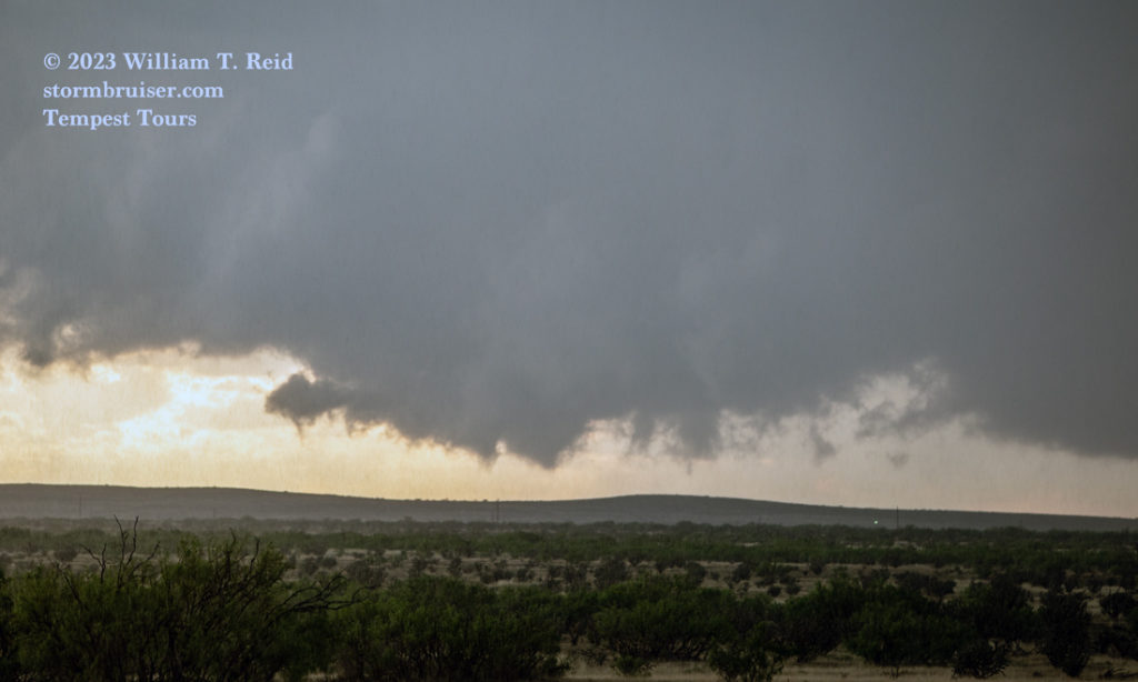
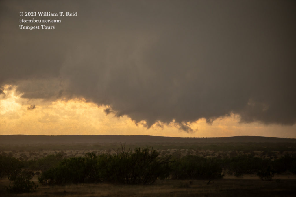
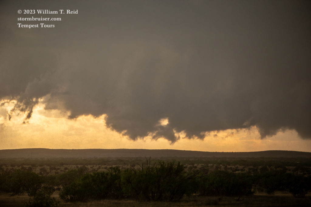
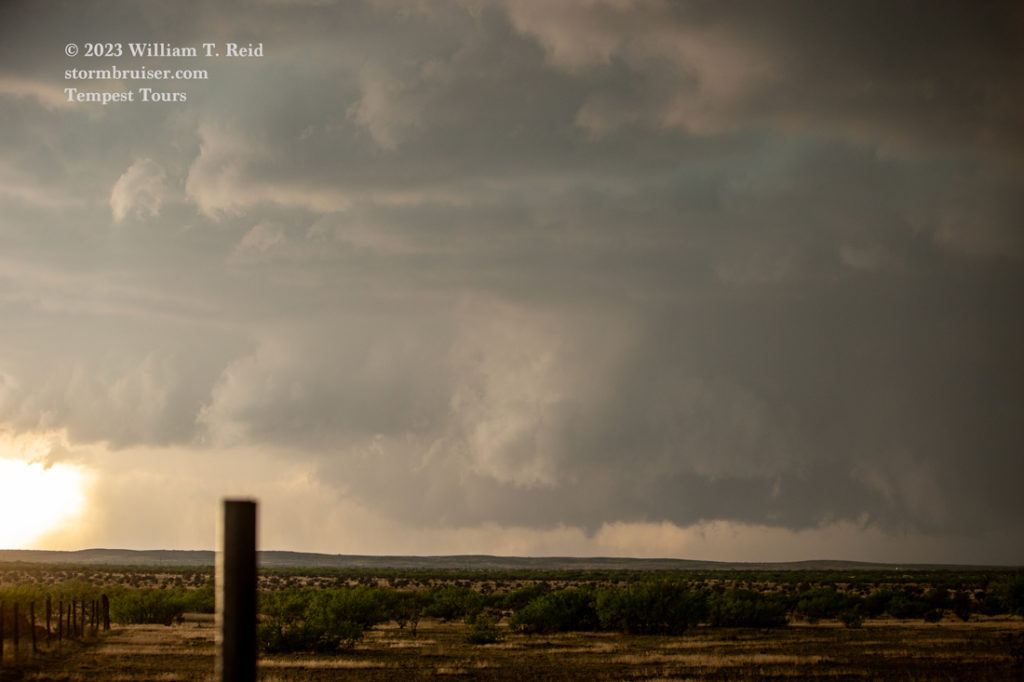

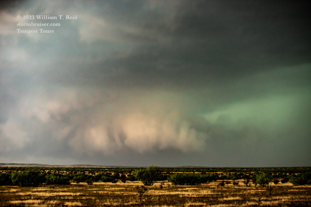
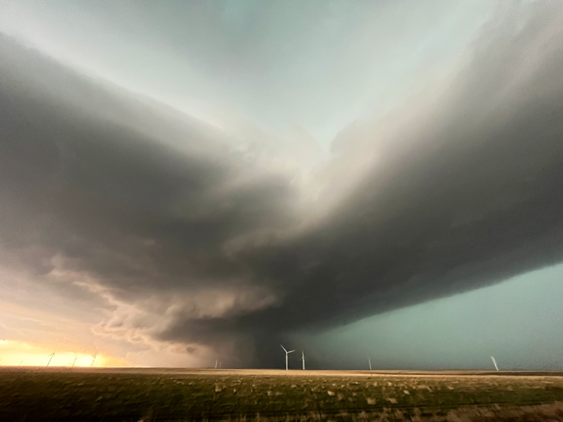
Let’s throw some more iPhone images in here. These were during the time that we were a bit west and then south of San Jon, prior to heading up the hill to the caprock. Again, the storm base with the lowerings is still rather distant to the west.
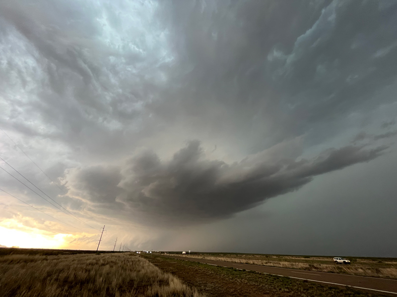
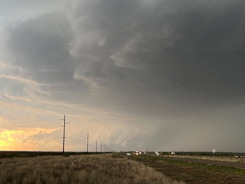

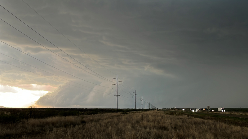


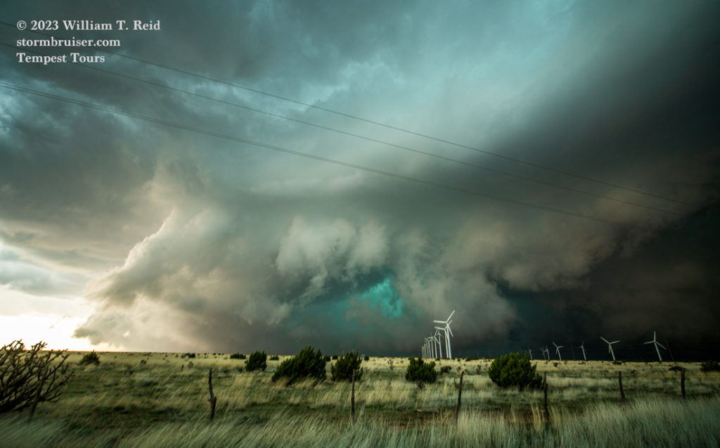
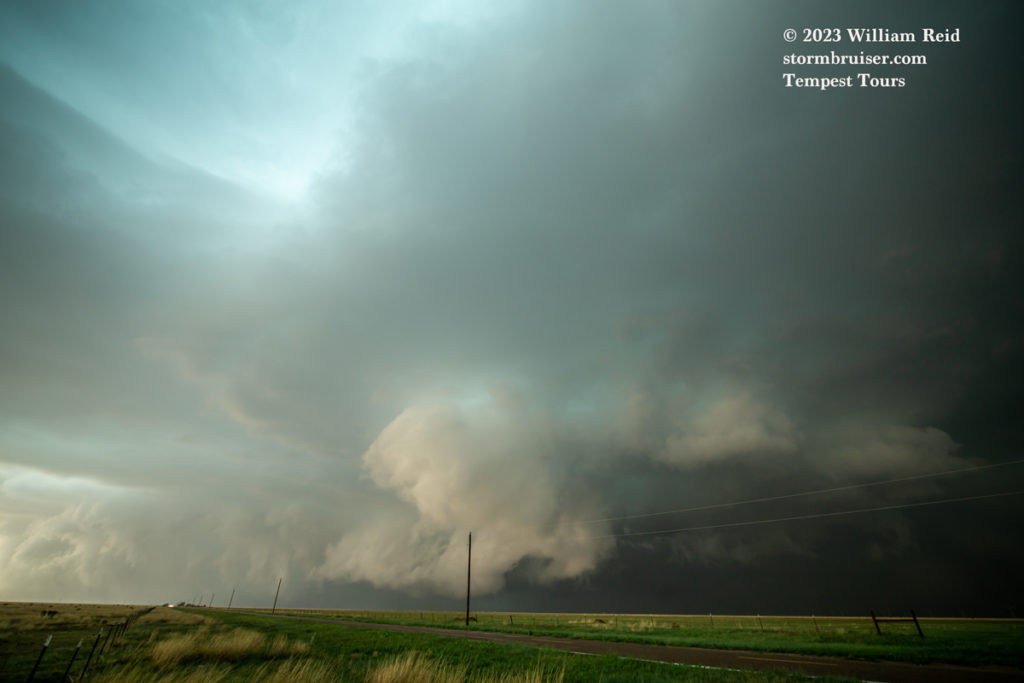
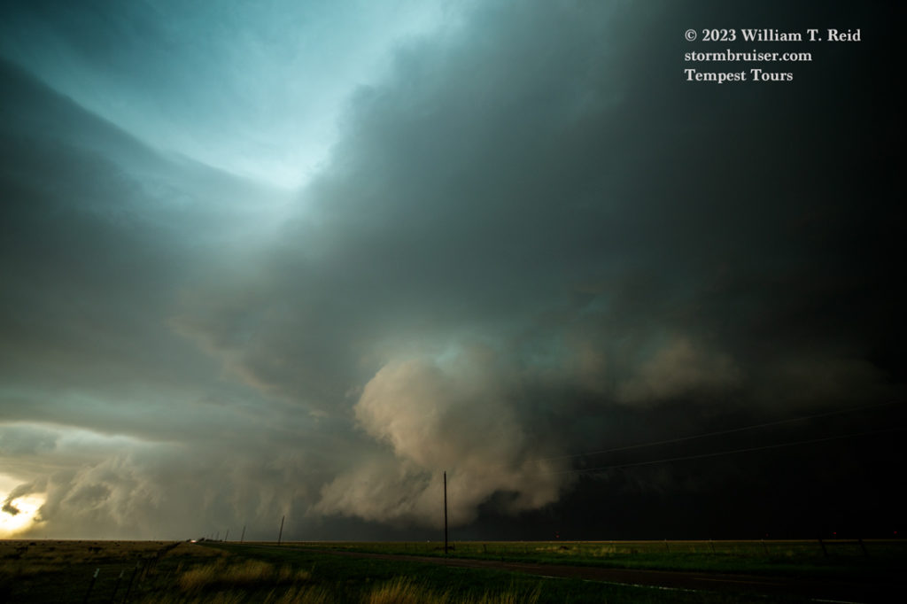
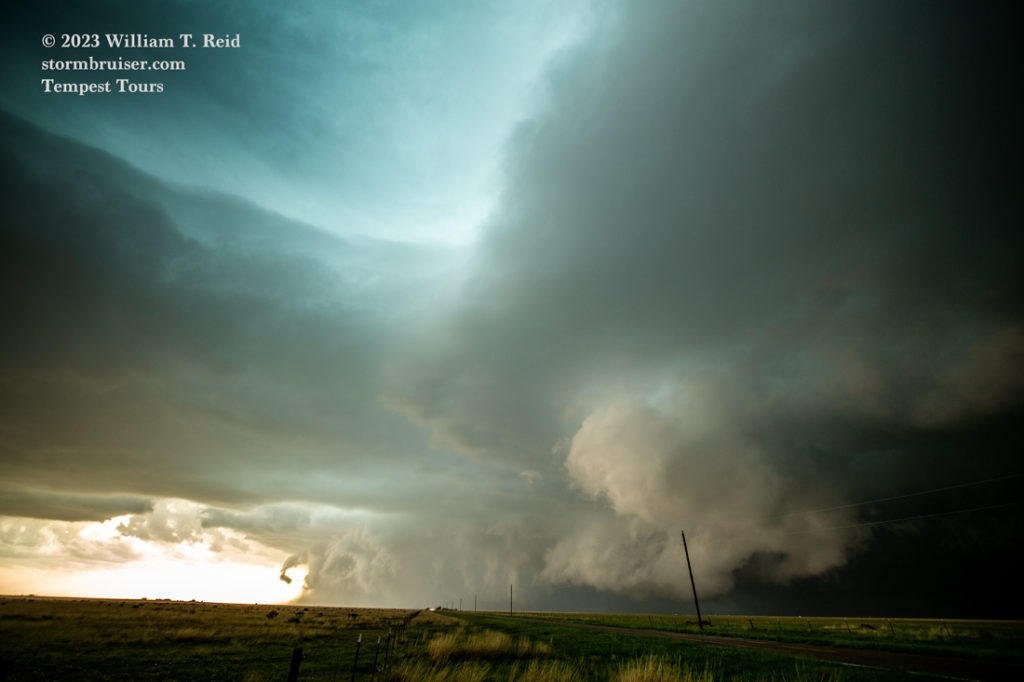
The storm was becoming increasingly intense and intimidating, as it had a mean and green look. Our supercell was moving decided “to the right:” to the southeast. Since the road south out of San Jon edged a few miles back to the southwest on the ascent to the caprock, I had to make sure to allow enough time to make it to Road 275 near Wheatfield before the nasty core. It appeared that the storm base was about even with the elevation of the caprock…this will be interesting!
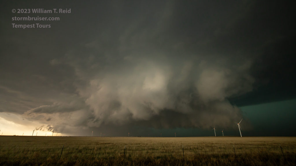
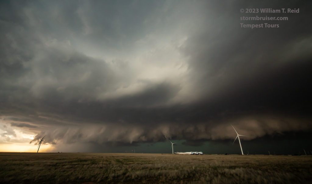
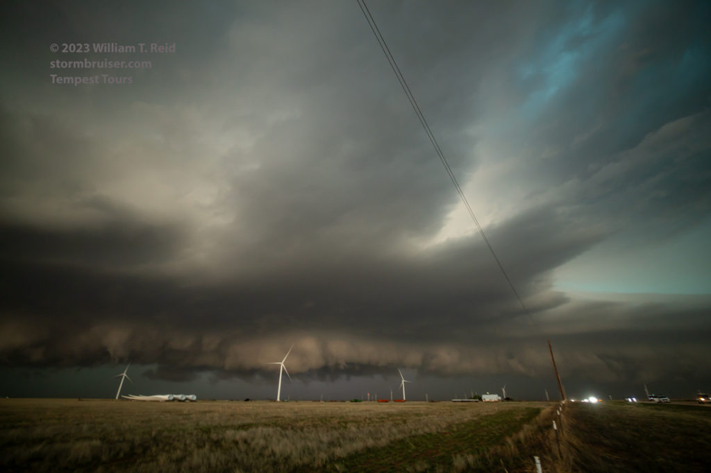
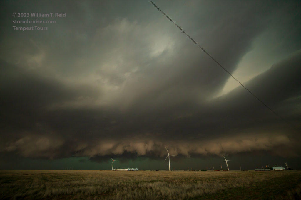
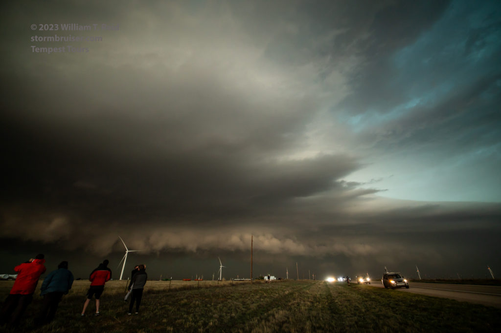
We made it up to the top of the caprock (with maybe five minutes to spare prior to hail) and went a few miles east on 275 (ENE of Wheatland). Our stop here afforded a great view of some low-level nastiness, with laminar inflow bands at different levels above that were surging westward. The very dynamic and chaotic base had churning lowerings which were teasing the ground.
The images below, from the Canon, are generally wide-angle/15mm looks once we reached the caprock. At the first stop not too far from Wheatland (first 8 images below) the action area is rather close. Thereafter we were farther east and southeast (along the N-S segment of 275, around Broadview). This afforded a better look at the storm structure.
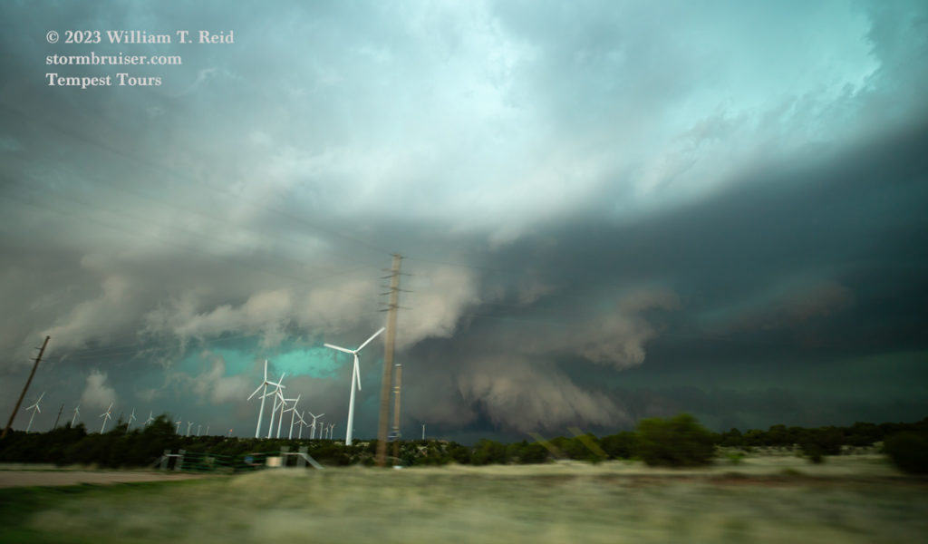
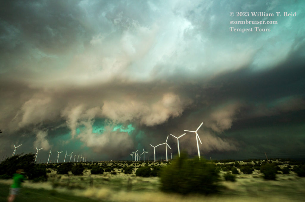

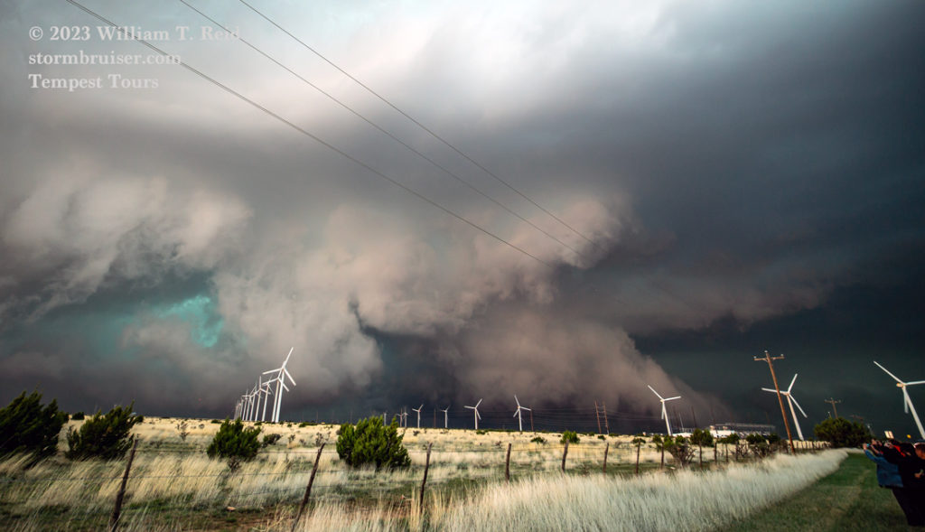
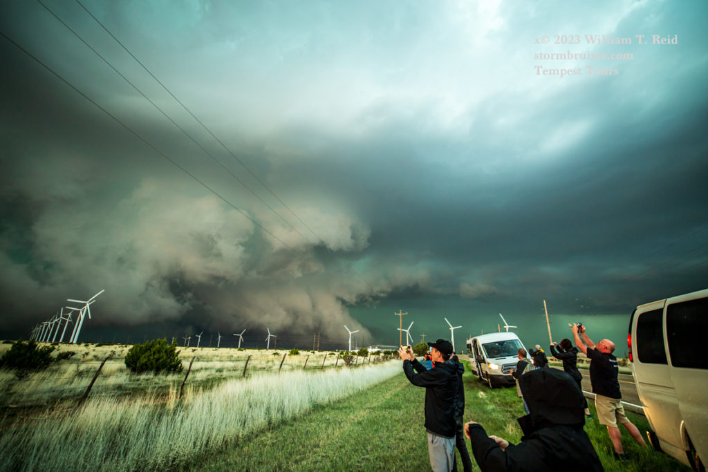

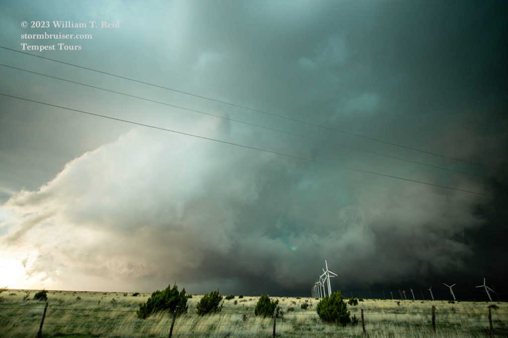
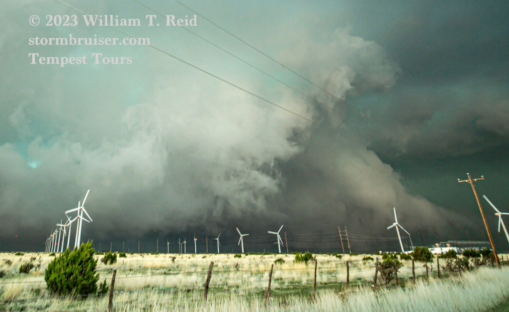
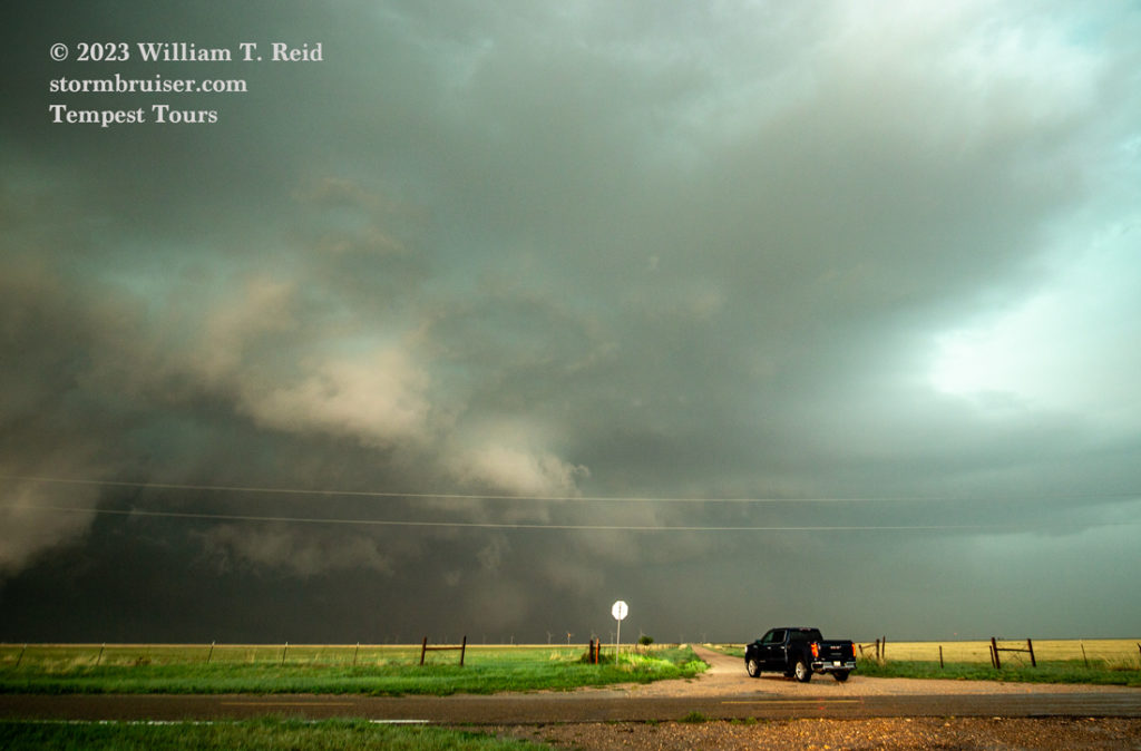


And a few iPhone shots around the same time, near Broadview:
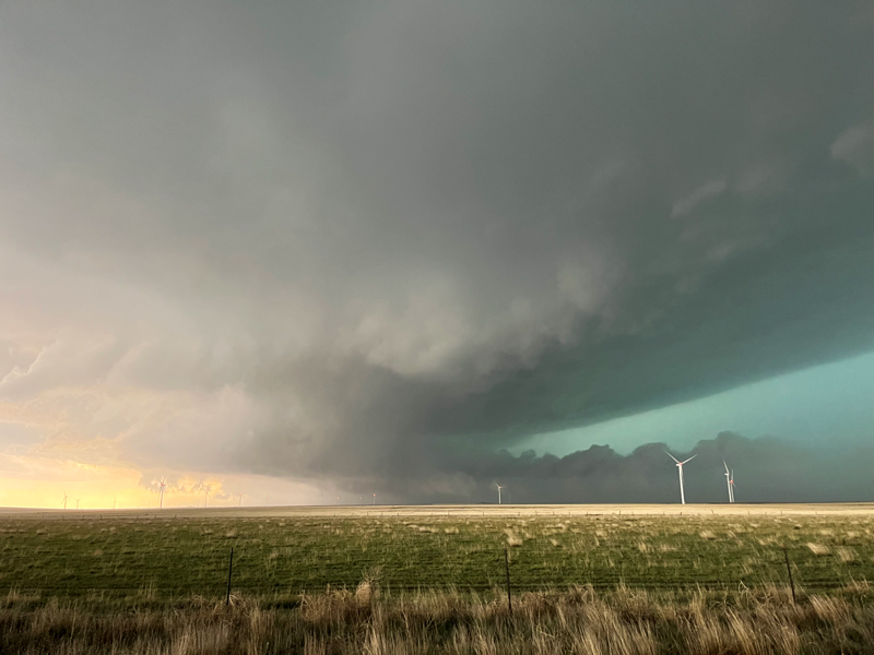

There was some very suspicious activity with the storm base to our west (See last few Canon images above). Chasers closer to the storm observed a tornado or two with plenty of rain and hail accompanying the development, not surprisingly!
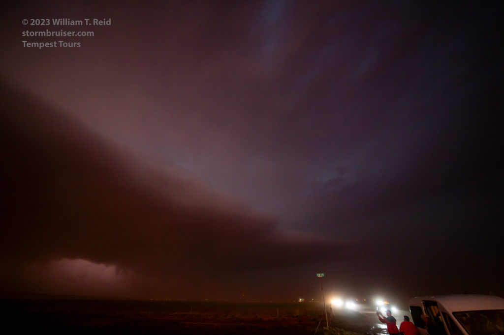
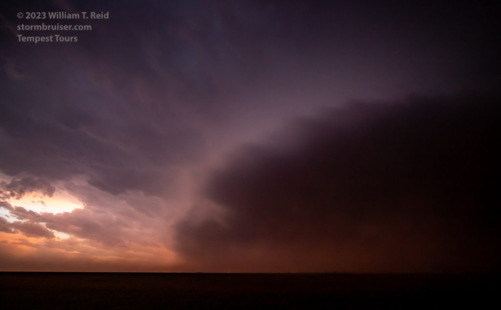
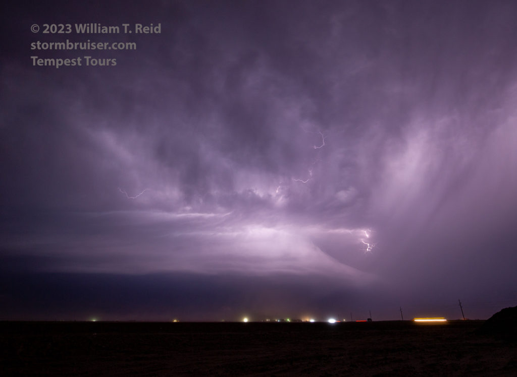
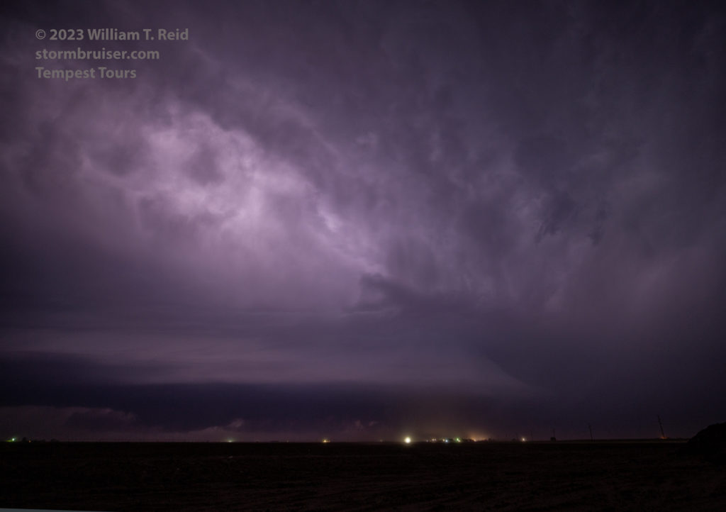
Darkness was close at hand not too long after these looks from the Broadview area. We were somewhat in “survival” mode to Farwell and Muleshoe as we had to make sure that we weren’t overtaken and subject to large hail and hidden tornadoes. I tried shooting some stills of the storm structure and lightning near Farwell, with a little success, but the blowing dust from strong inflow was making life miserable outside of the van. I think I recall power outages in the Farwell area due to strong inflow and/or nearby tornados.








Leave a Reply
You must be logged in to post a comment.