
May 25: Begin/Muleshoe, Lunch/probably, End/Clayton, 508 miles
May 26: Begin/Clayton, Lunch/Tucumcari McDonalds, End/Amarillo, 379 miles
May 27: End of tour 4, back to OKC (breakfast at Ye Olde Pancake Station in Amarillo)
May 27 and 28: driving vans from OKC to DEN
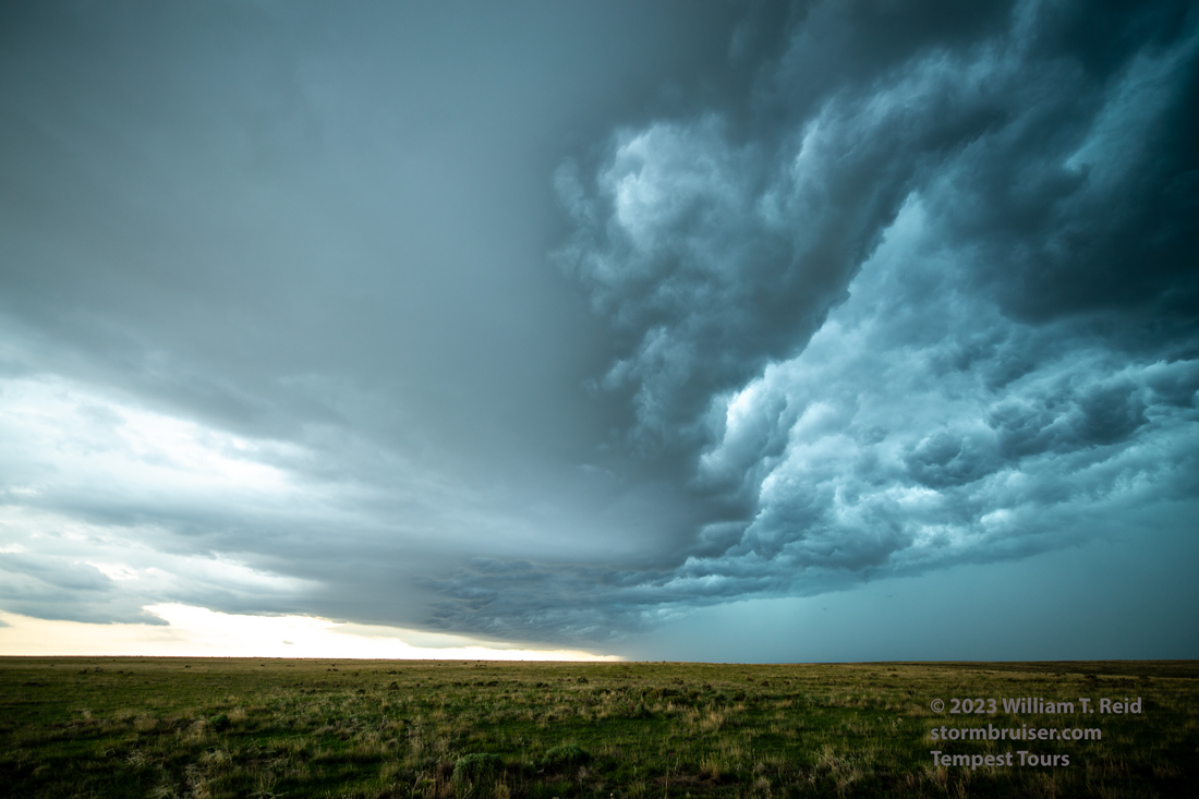
MAY 25) We had a big supercell chase in east-central NM on the 24th, and the pattern was not too dissimilar for the 25th. Moisture was a notch lower, though, and tornadoes were not expected. CAMs indicated a rather late show getting going not too far from Tucumcari (again). That area looked reasonably good, but I was impatient. I saw what I thought were decent conditions up towards the Raton Mesa near Kim, Colorado. It wound up cold and junky right off the bat. I might have made it down south in time to the fabulous Tucumcari supercell by sunset had I figured things out…but I didn’t.
Chris G and his crew were on the Tucumcari supercell. Here is his time lapse video.
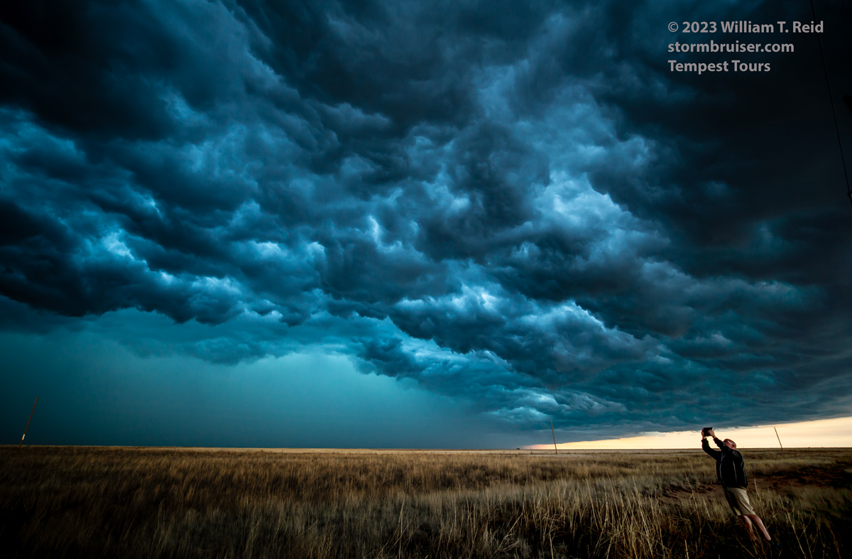
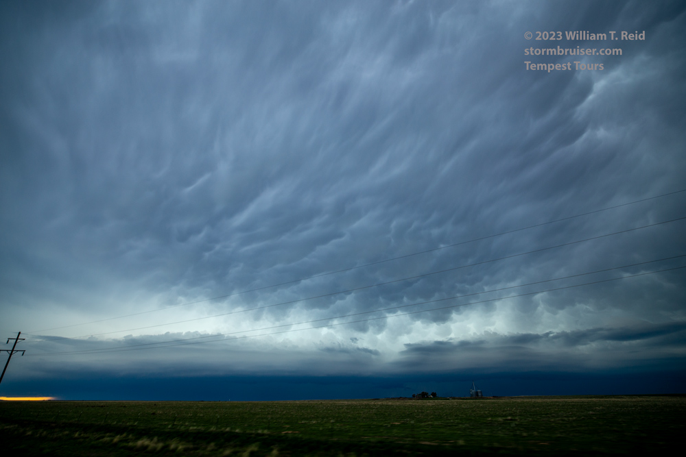
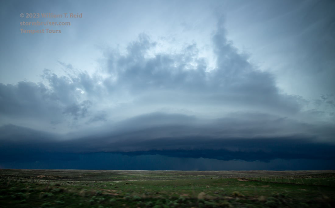
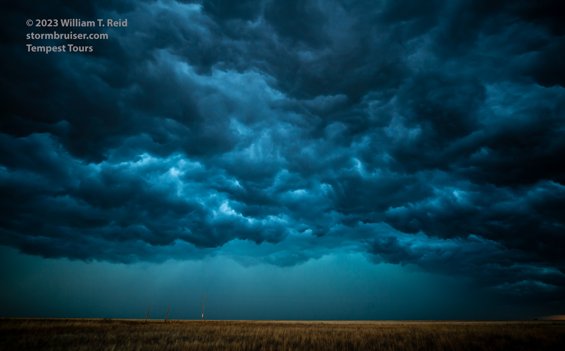
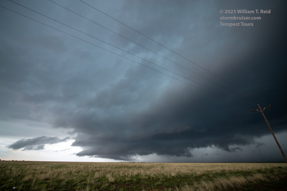
Towards sunset my group was northeast of Clayton in New Mexico. A squally/linear thing was quite photogenic!
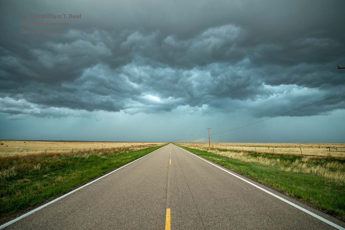
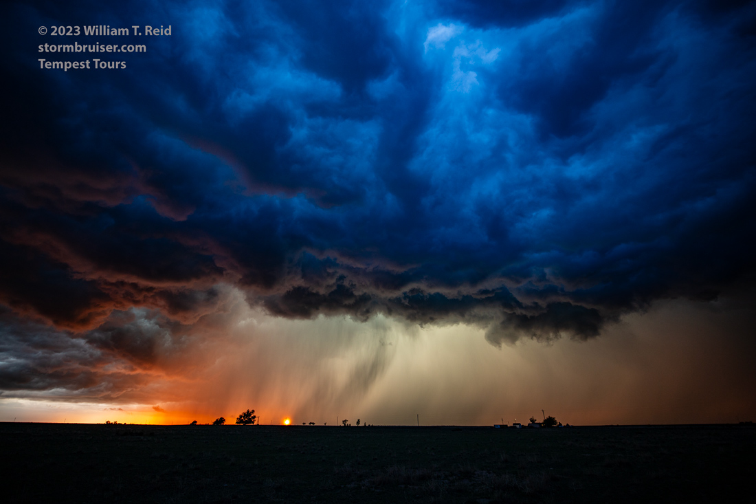
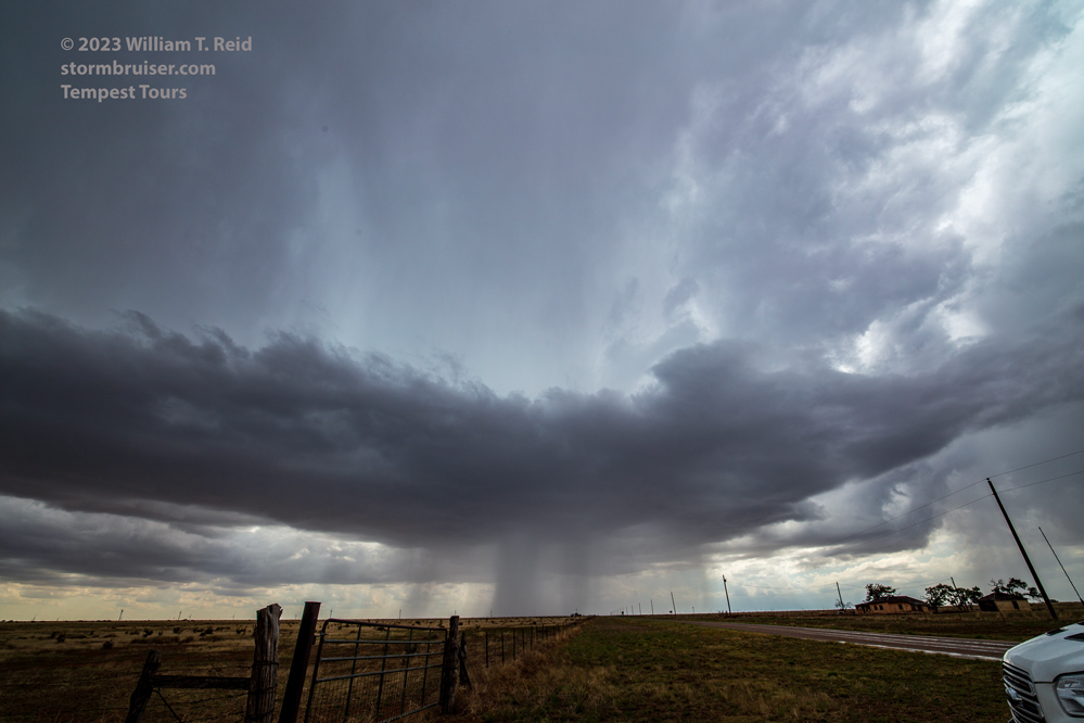
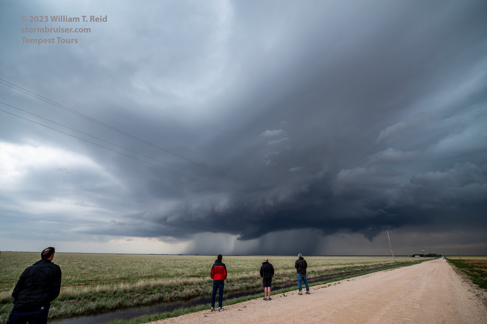
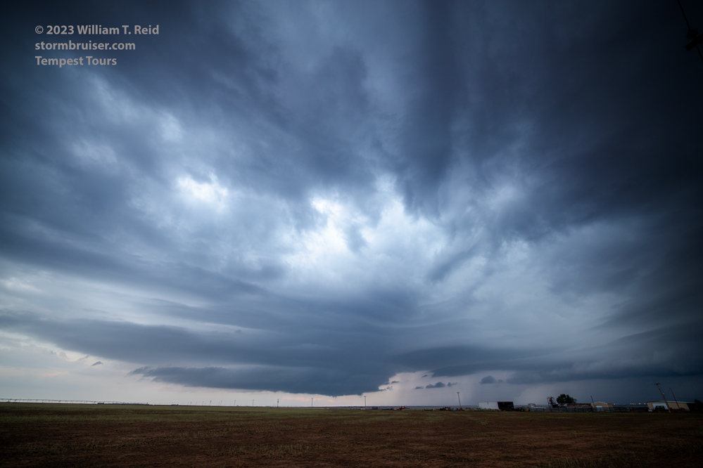
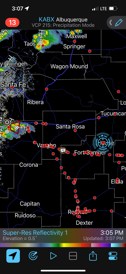
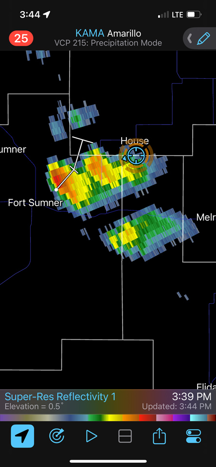
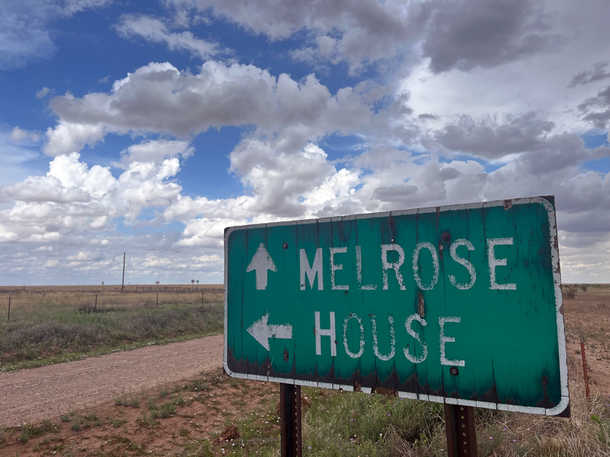
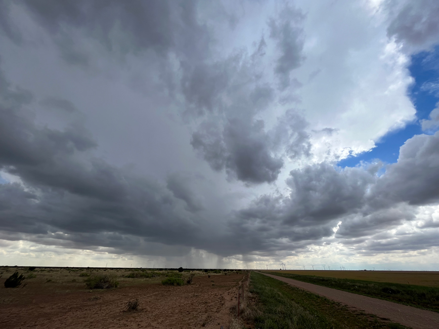
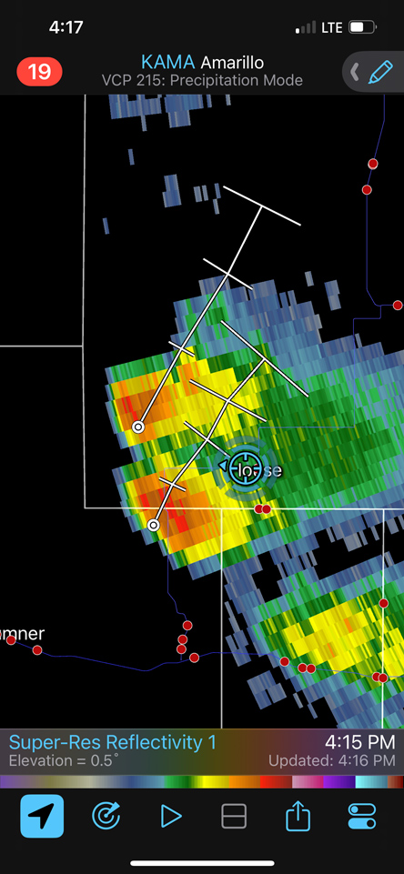
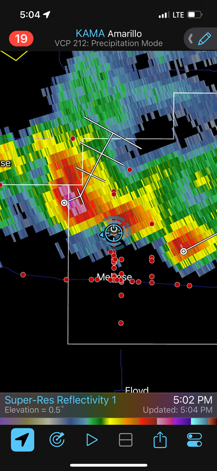
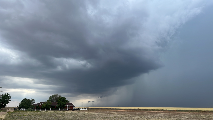
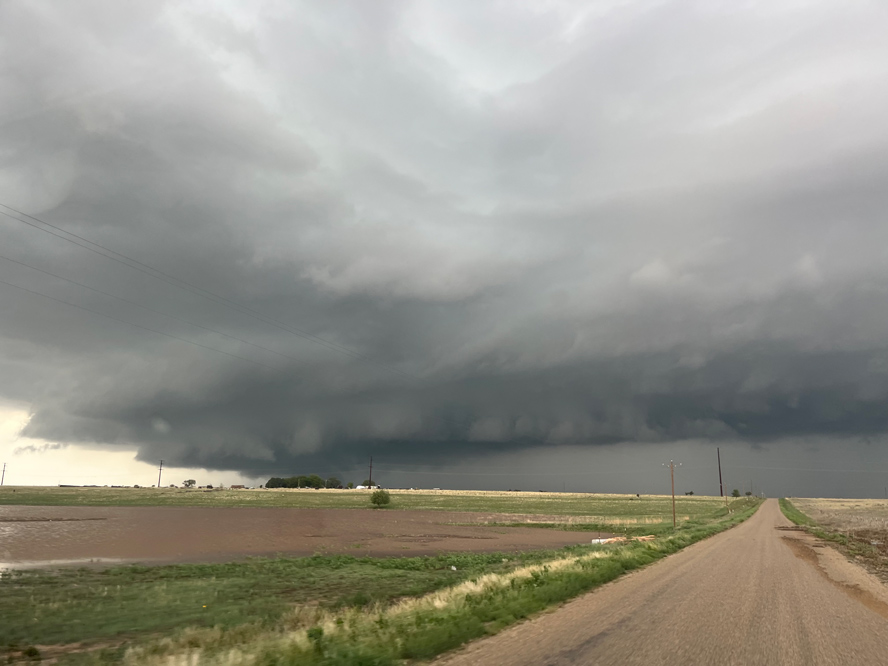
May 26) SPC splattered an enhanced slight risk with a 5% tornado area over far eastern New Mexico today, generally south of I-40. We dropped south out of Clayton to Tucumcari, and then south to House, NM. This area was near an outflow boundary. A decent storm or two dragged us east from House to Melrose and Clovis, but with time the low levels started to get a cold and stable look. There was some okay structure, but little else to crow about. The SPC 5% tornado area wound up with no tornadoes on May 26th.
Leave a Reply
You must be logged in to post a comment.