Start: McCook, NE
Lunch: Wray, CO/At Ease BBQ
End: Ogallala, NE/355 miles
A large slight (and embedded enhanced slight) risk area was painted for the High Plains today, from about Oshkosh to Earth. This was along a weak surface low pressure area with good instability. But the name of the game would be strong outflow winds with the late afternoon convection, as low-level moisture was so-so and cloud bases would be on the high side. SPC didn’t even show a 2% tornado risk.
We did a bunch of driving around in northeastern Colorado as I tried to find a storm that was worthwhile and catchable. I headed up to Sidney from Sterling for some southern Nebraska Panhandle storms, but these were not too good. Finally a rather robust and more compact cell was noted to our south, back towards Sterling. Figures.
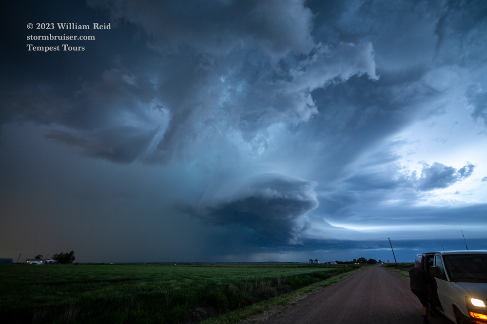
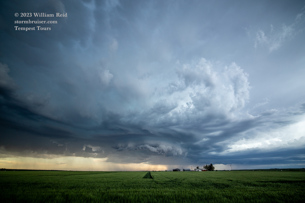
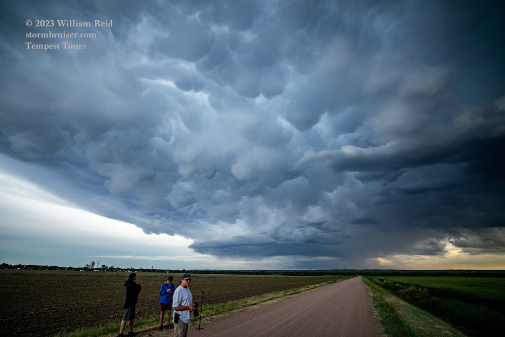
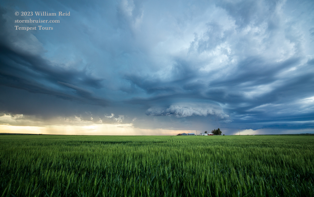
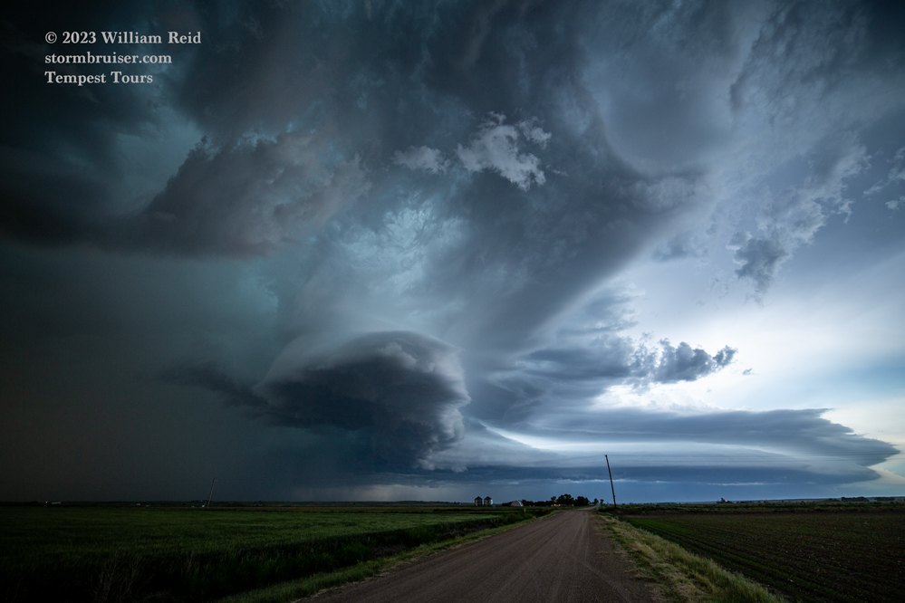
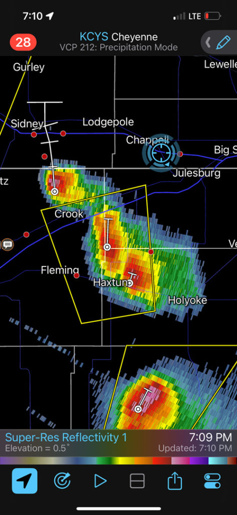
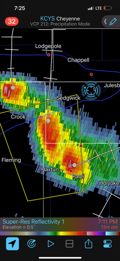
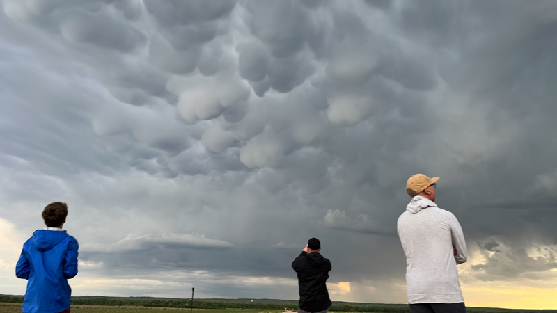
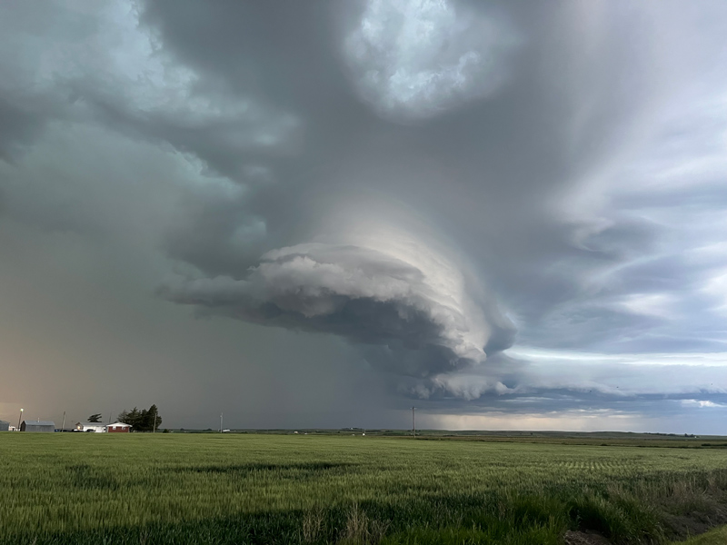
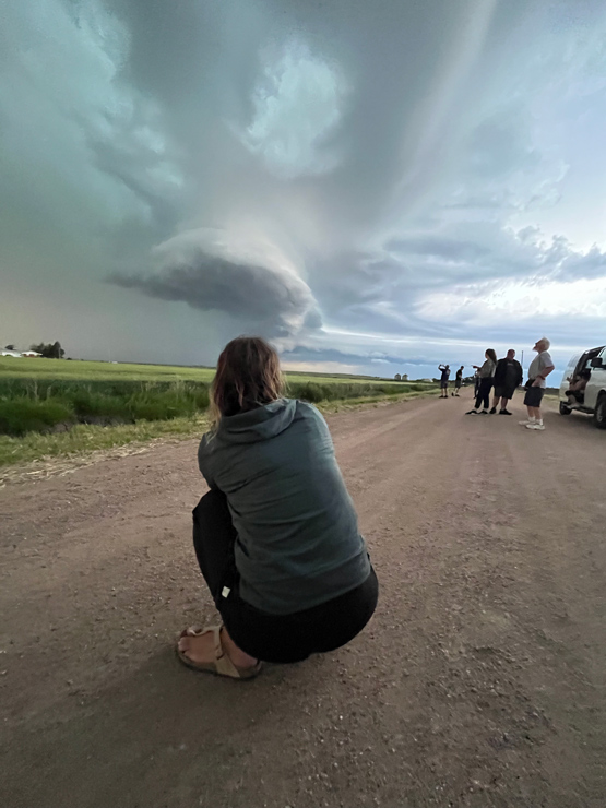
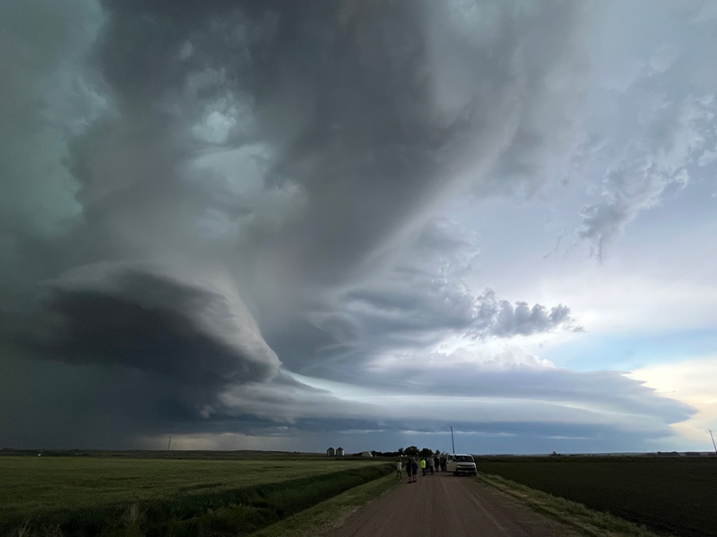
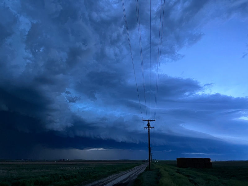
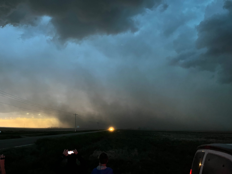
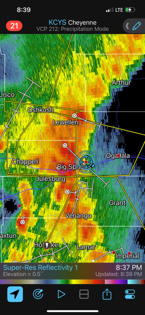
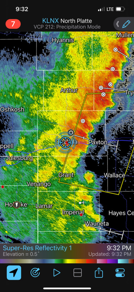
We dropped south around Chappell to west of Julesburg, and observed an interesting left-mover to our SW and W and NW. Thereafter we played with a complex of nasty windbags on the way to Ogallala for the night.
These five images were with the Canon and wide angle lens, west of Julesburg.

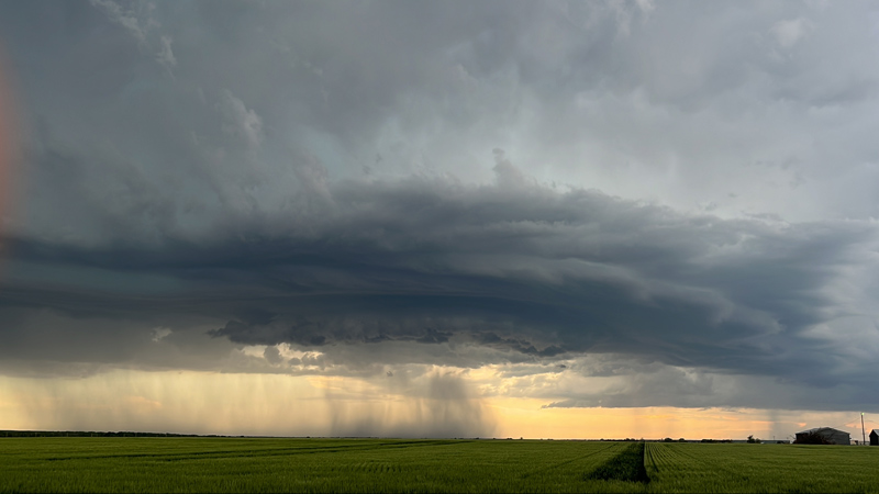
And below are some radar screenshots and images off of the iPhone.


Leave a Reply
You must be logged in to post a comment.