Start: Santa Rosa, NM
Lunch: Grab-and-Go/Pilot/Hobbs
End: Fort Stockton, TX/557 miles
Chase account by TT guest Lesleyanne

Above: Surface map for 5 p.m. MDT/6 p.m. CDT. “S” shows the approximate track of the primary supercell that we chased.
SPC showed a marginal risk of severe storms this day for all of the plains portions of eastern NM and southward to the Rio Grande through west Texas. Upper-and-mid-level flow looked to be much better in the Texas section, and the CAMs were advertising supercells down there near I-10. A check of the mesoscale discussion for the target area at 4:50 p.m. CDT (linked above) shows more-than-adequate effective bulk shear (35-40 knots) and instability (MLCAPE over 2000 J/kg west of Sanderson) for really good storms! Throw in SE surface flow up the Rio Grande with dews in the 60s…and you have to figure that if this same setup were centered over Norman, OK, then a slight risk for severe would have been issued, along with a yellow or red watch box. Oh, well. I suppose the lack of attention or concern for this region at the Ends of the Earth helps to keep the chaser numbers low! And what the heck are we doing chasing way down here on June 7th?
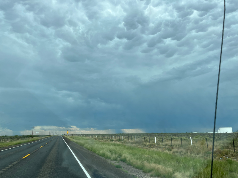
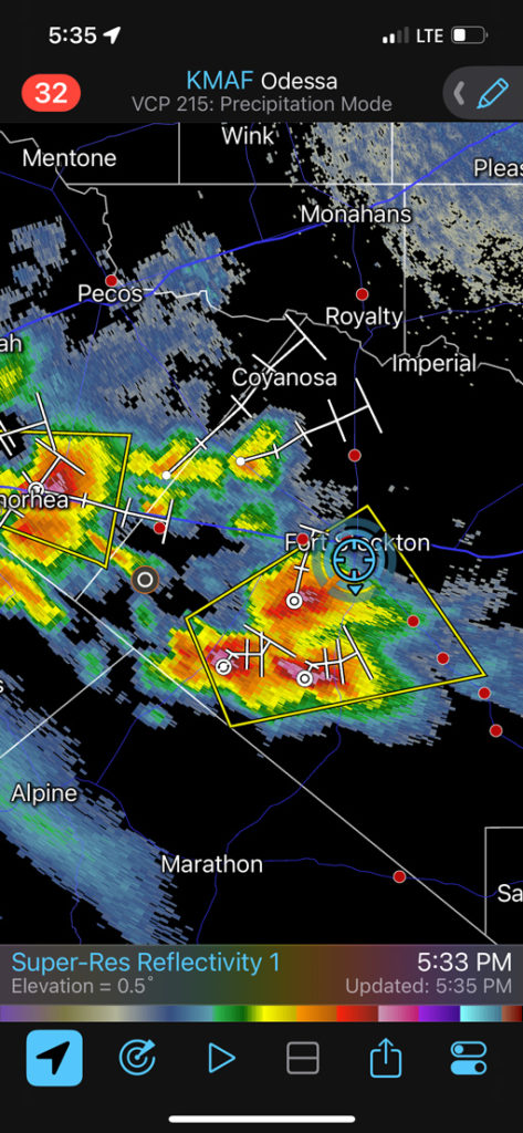
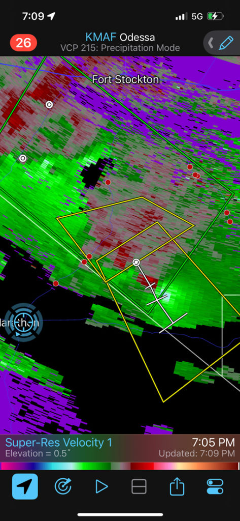
The iPhone screenshots towards the bottom of this entry show our progress southward from Monahans to Fort Stockton as severe storms developed near and just south of I-10. I figured that we would be best served by getting in front of the lead (or eastern-most) cell. That would be the one to the southeast of Fort Stockton at 4:54 p.m. We were still an hour away from that one and an intercept looked like a lost cause if it moved to the southeast. Some chasers were already in front of this storm, and we could see it in the distance to our SSE. Fortunately, this storm fizzled big time! When we reached Fort Stockton, the strong stuff was now to our southwest. We had to scoot quickly south on 385 in order to beat the core of the lead cell. We barely made it, with some one-inch hail starting to fall as we cleared the precipitation.
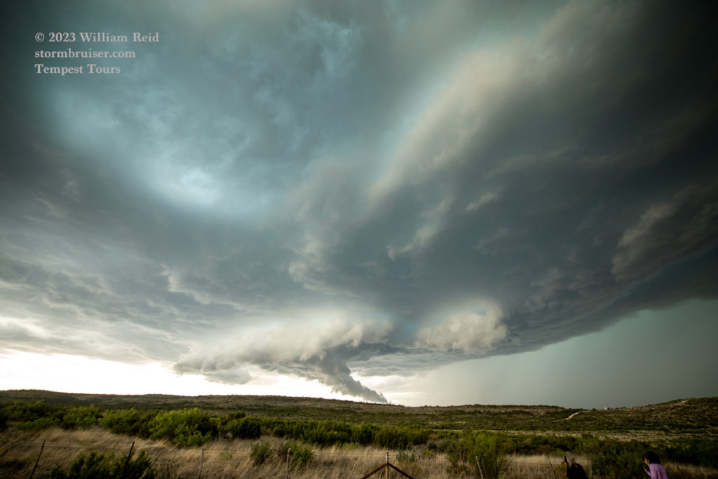

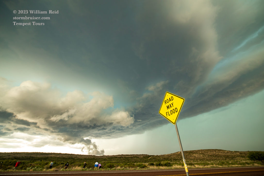
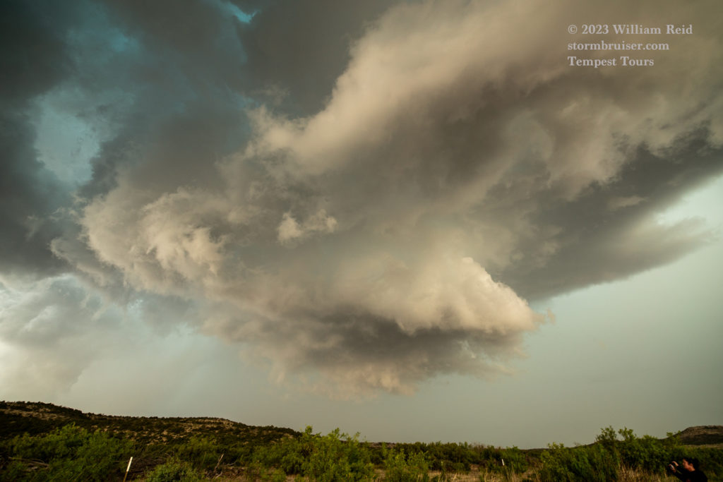

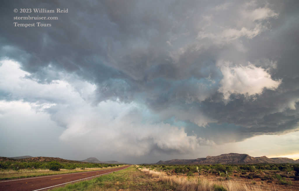
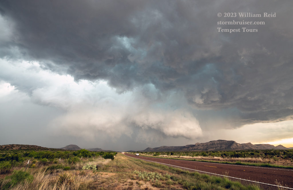

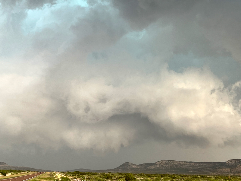
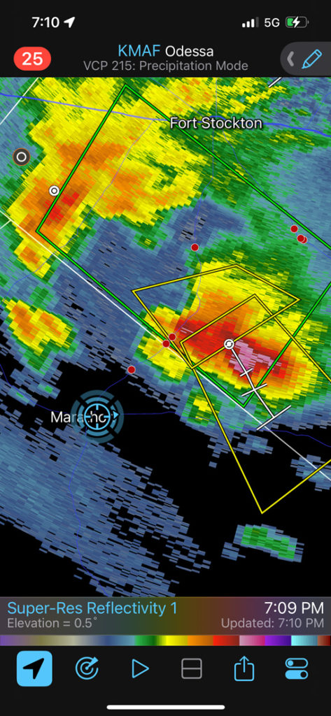
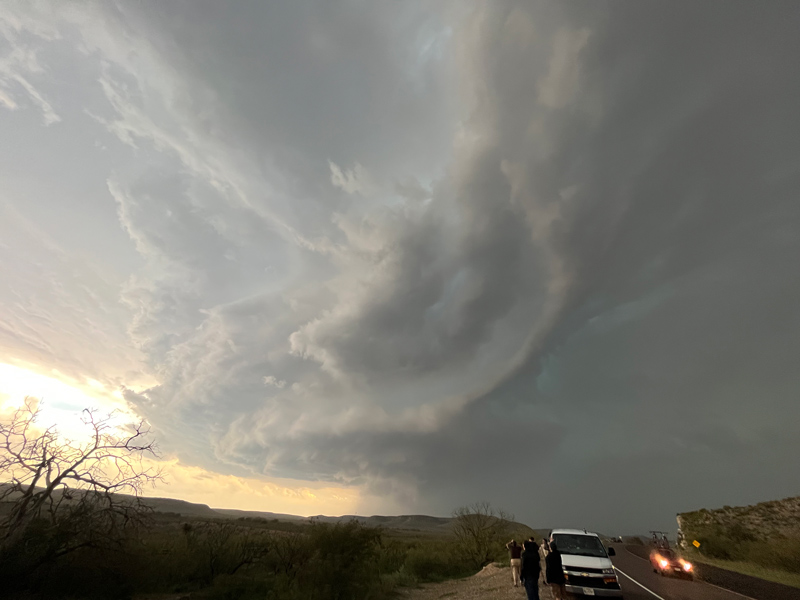
Now on the proper side (E to SE side) of the storm base and updraft, we could see what the thing looked like. A decent sculpted base and lowered area was our reward for getting here in time. The supercell continued to the ESE and crossed 385, just to our north. The wall cloud was impressive, with broad rotation (see pics above). Was there a tornado in there? I don’t know. We lingered here for quite a while, but eventually had to try to get back into position. This necessitated the dreaded southwest jog on 385 to Marathon. From there we blasted east on 90 towards Sanderson, and again were cutting it close with the core in order to get back in front. We had a decent view of the storm’s wall cloud all along.
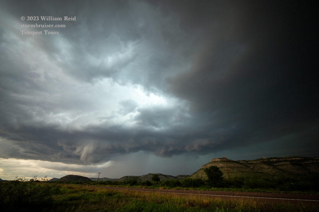
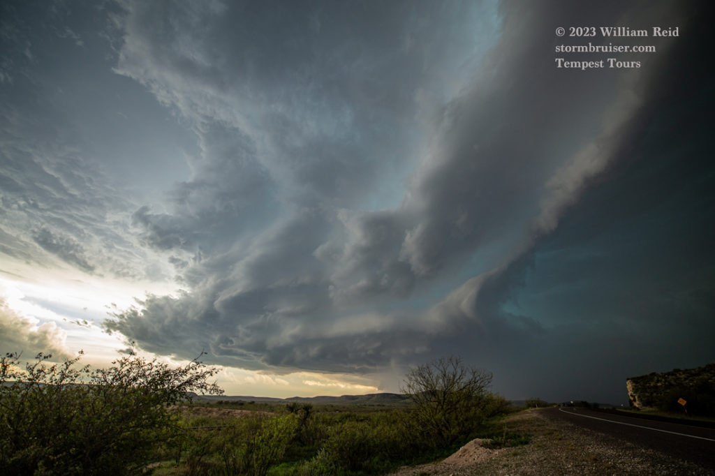
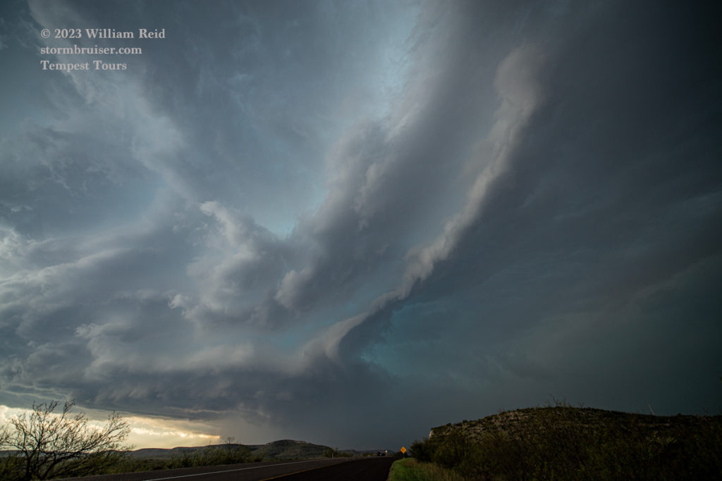
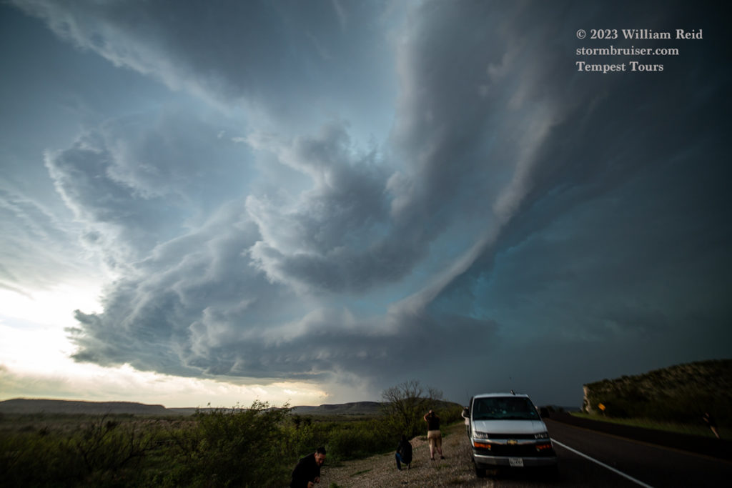


We managed to get a great look at the front end of the storm base while west of Sanderson (six images above). As the storm base edged a little south of 90, to our WSW, it looked to be getting serious about making a tornado. We did not see one, however. This spot became annoyingly wet and we were forced east again. If the storm was producing a tornado near the Rio Grande, it was doing a good job at hiding it.
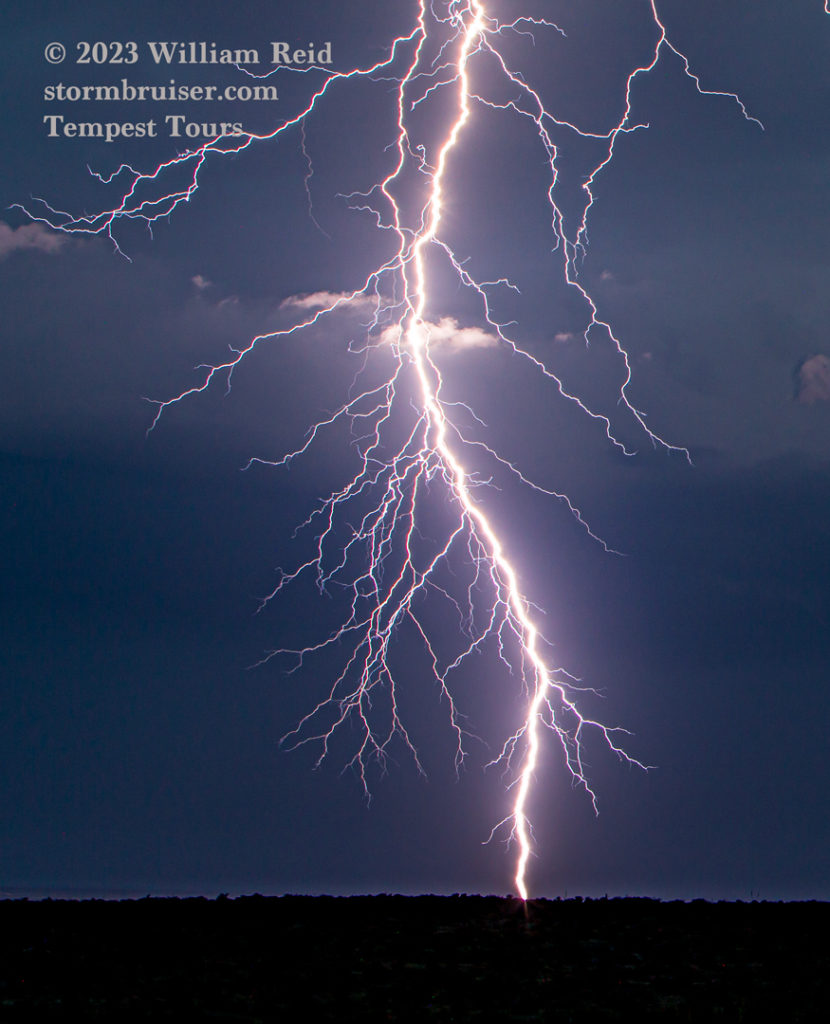
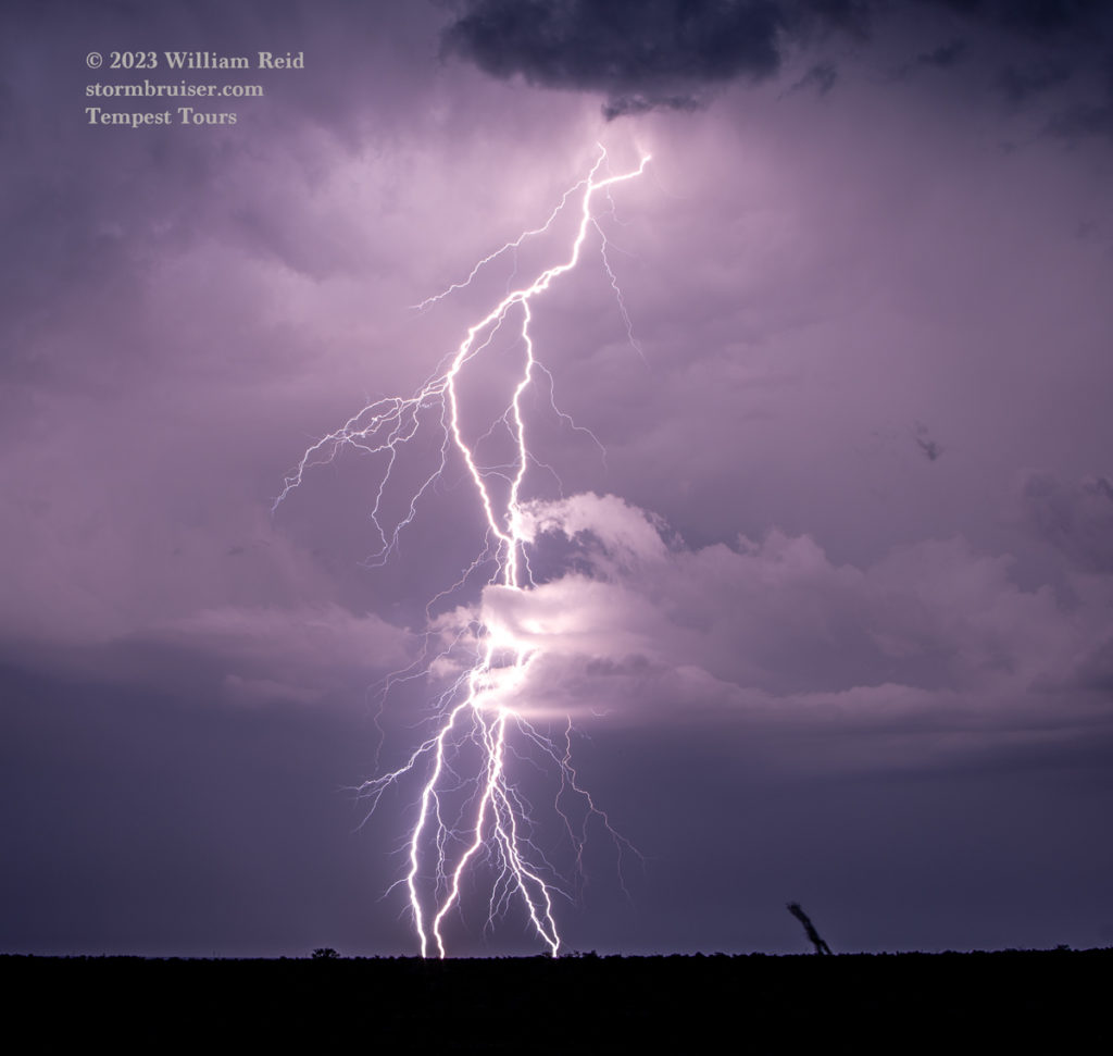
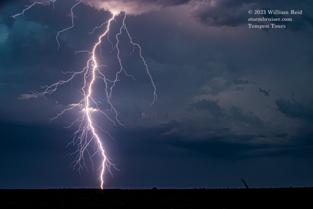
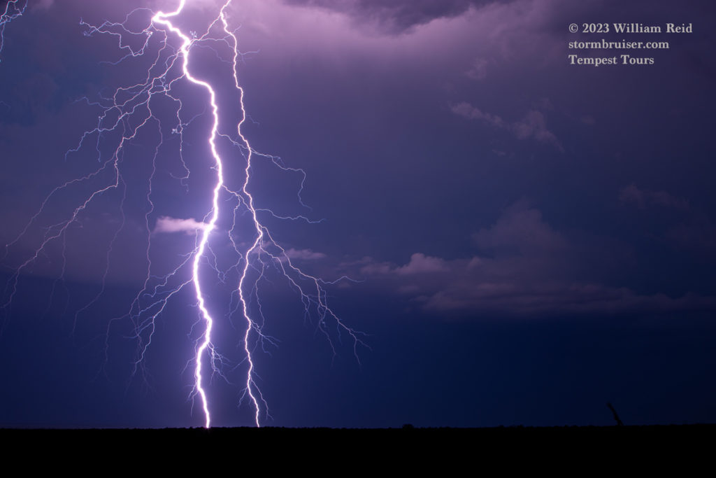
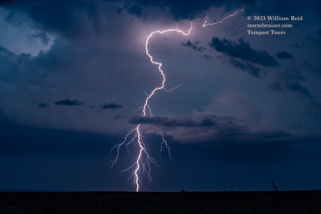
We did a much-needed pit stop in Sanderson. It was almost sunset, and we had run out of roads and country. With storms to our west and southwest still going strong, I wanted to to get a good look at what was happening. But, this area along 90 was in a hole, with higher terrain blocking our views. Yuck! Fortunately, I knew of a great high spot just off of 90 to the southeast of Sanderson by maybe 7 miles. My 33 years of chasing on every road in Tornado Alley is paying off now. We found our way there and spent an hour or two shooting a spectacular CG lightning display to our S, SW and W!

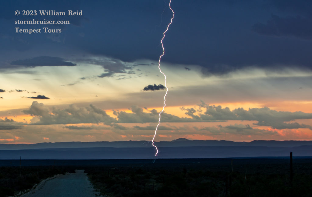

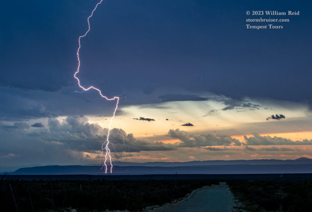




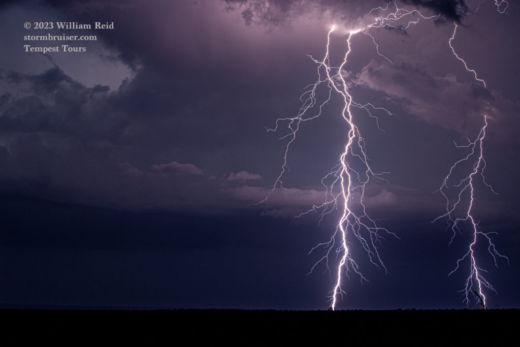
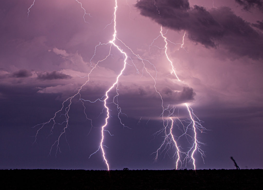

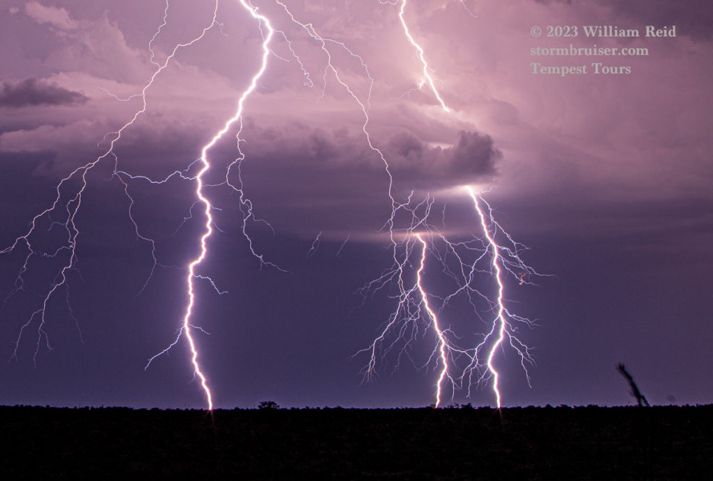
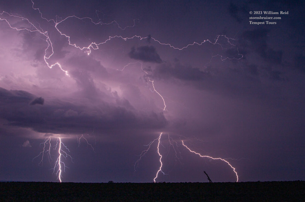
iPhone screenshot and images below.




Leave a Reply
You must be logged in to post a comment.