Start: Guymon
Lunch: Vallarta/Guymon
End: Clayton/318 miles
TT’s Chris Gullikson was leading the alternate photo group tour. He was nearby our group for much of the afternoon, and wound up on the west/sunny side of the Dalhart supercell at sunset. Here is his video of the event.
Blog summary of the chase with nice time-lapse video by TT guest Lesleyanne
—————
Enhanced Slight Risk! 5% tornado risk! 30% hatched hail and wind! Woohoo!
Except that those outlooks were for parts of eastern Texas, primarily southeast of Dallas. We were in the middle of the Oklahoma Panhandle. Does anyone want to get up early and drive 500 miles to the forest? Not I.
Our group would have to be content with whatever this marginal risk on the High Plains, near the Raton Mesa, could muster. Shear was good, instability not too bad, and low-level moisture just “okay.” Upslope flow was weak, but it WAS upslope. Clayton dews were in the mid-40s and Dalhart dews in the mid-50s.
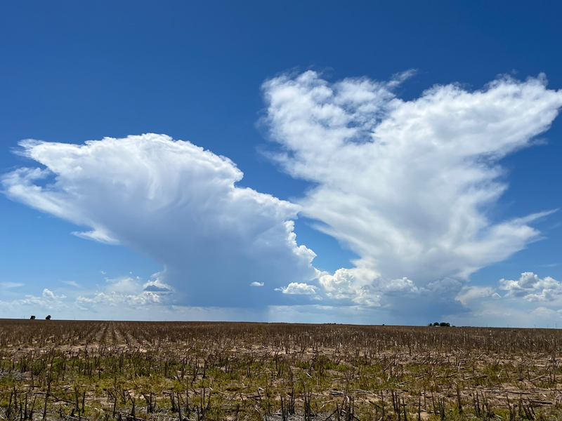
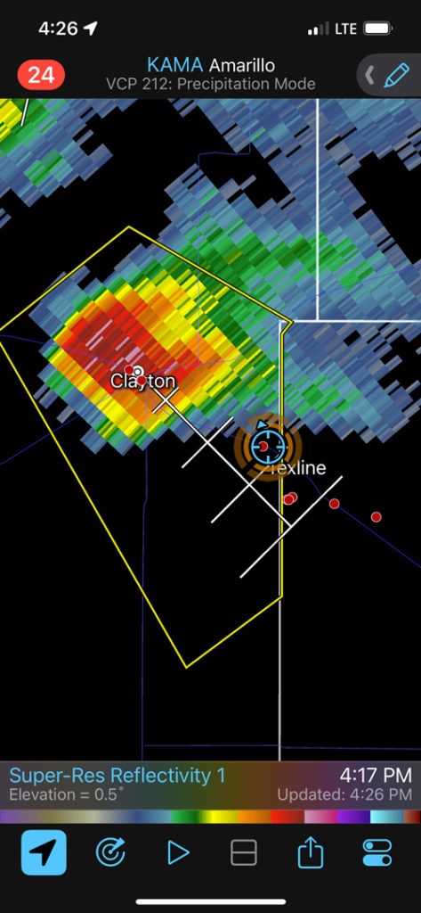
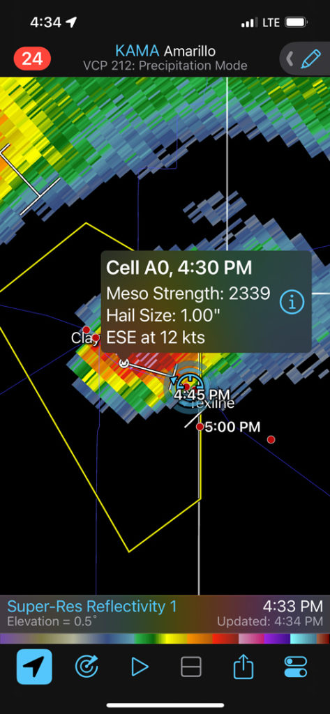
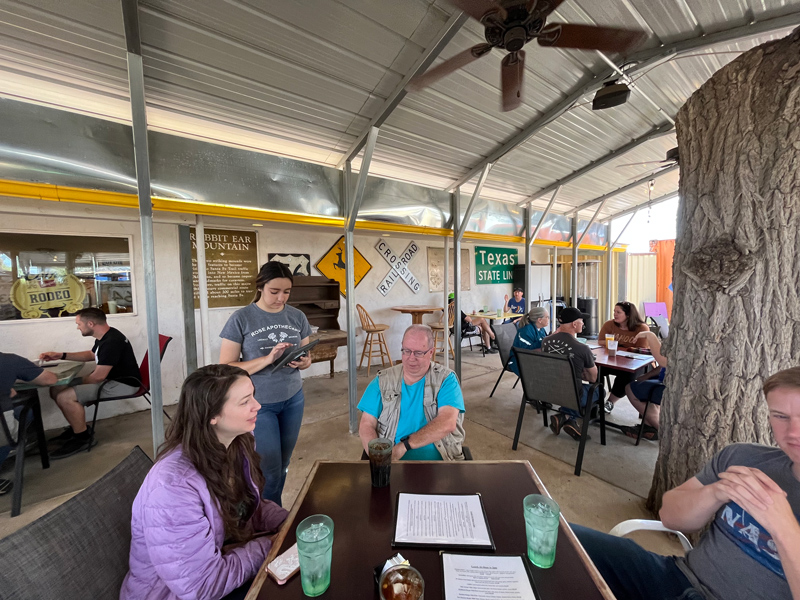
The day got off to a rocky start, as two visits to the Urgent Care in Guymon were required. We lunched in Guymon and had an easy stroll westward to a couple of updrafts that wound up hailers from Clayton to Texline.
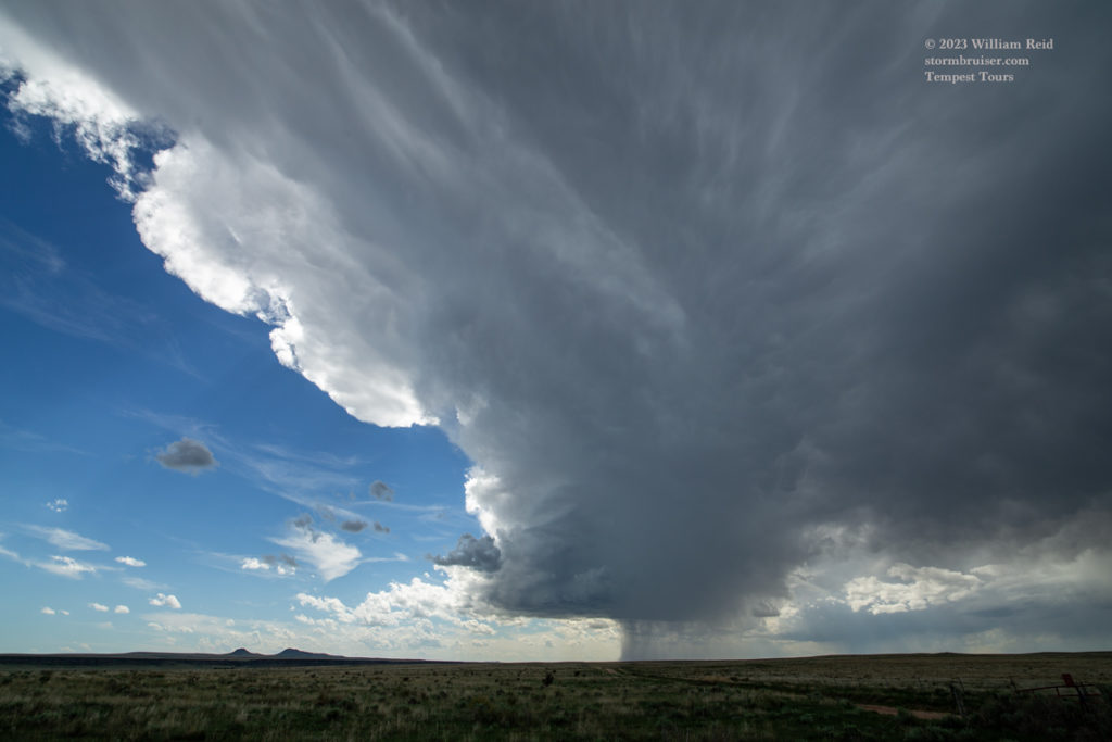
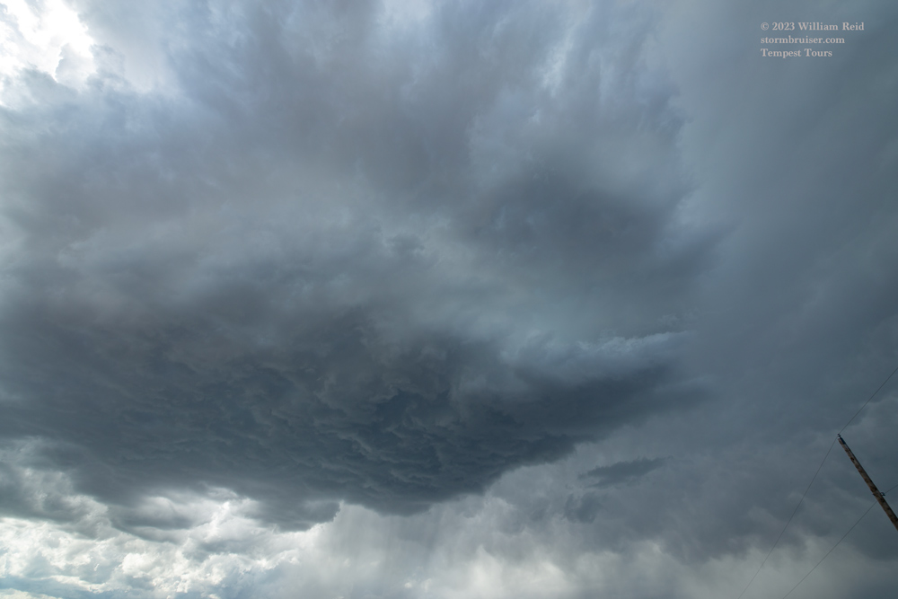
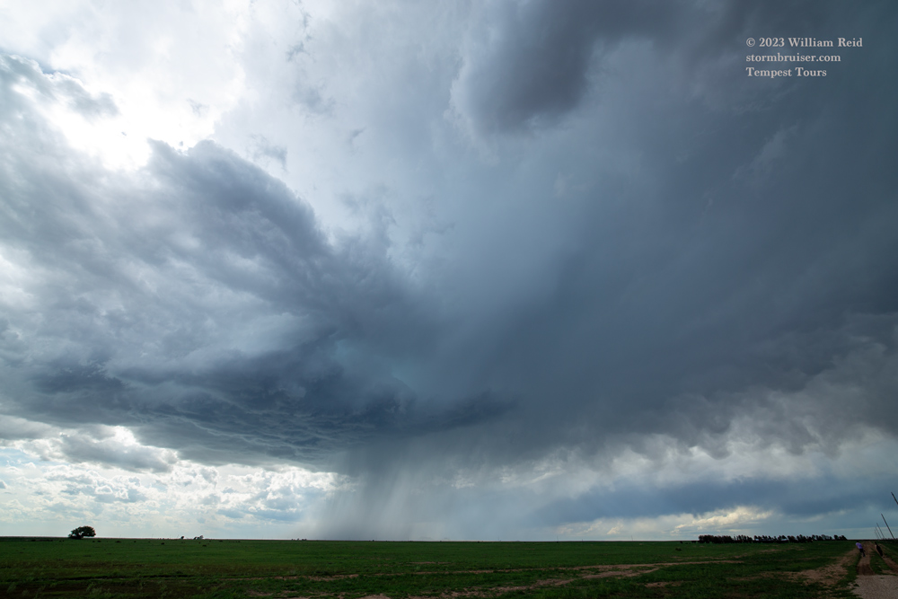
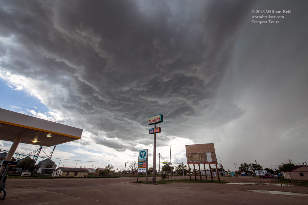

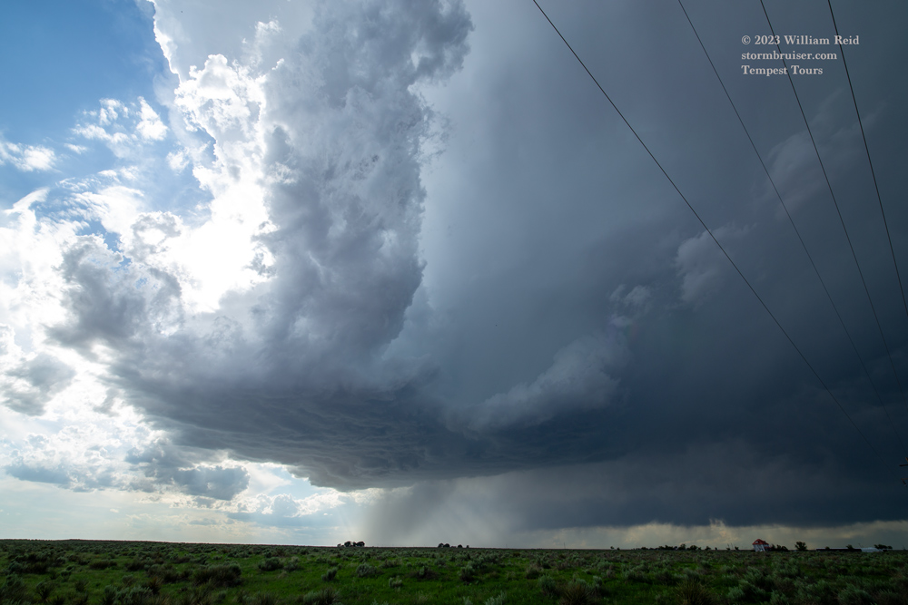
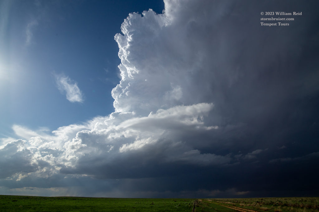
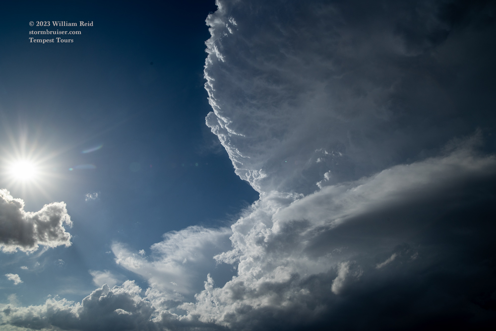

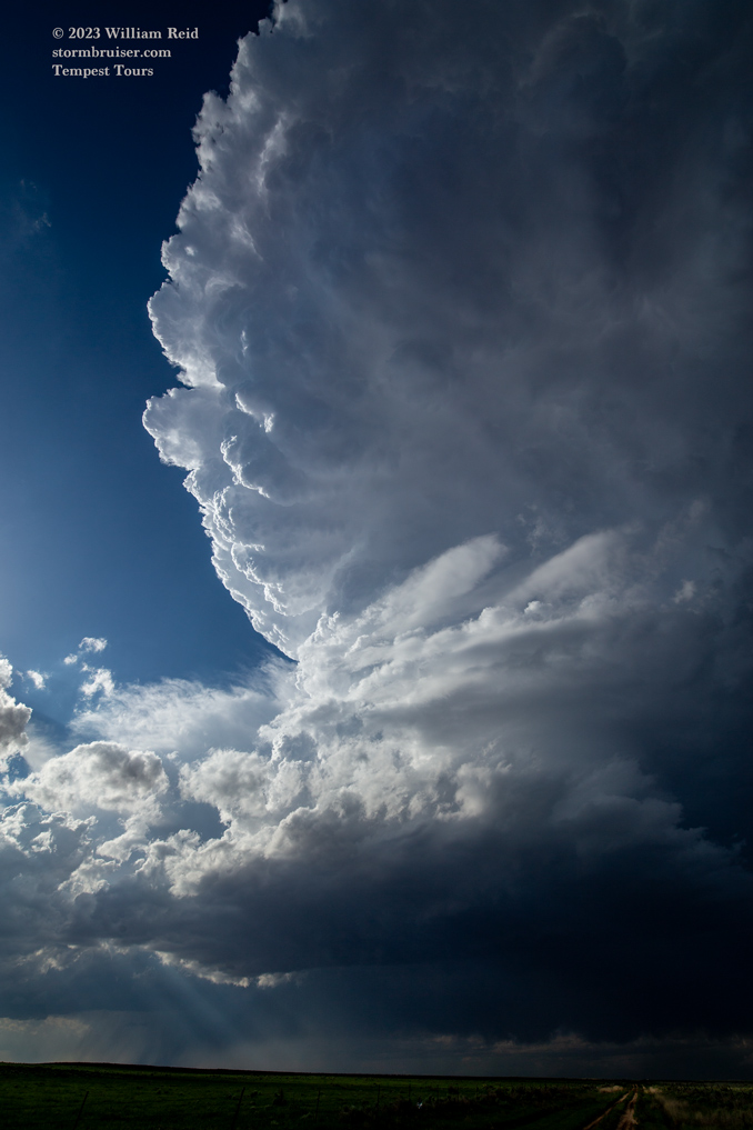
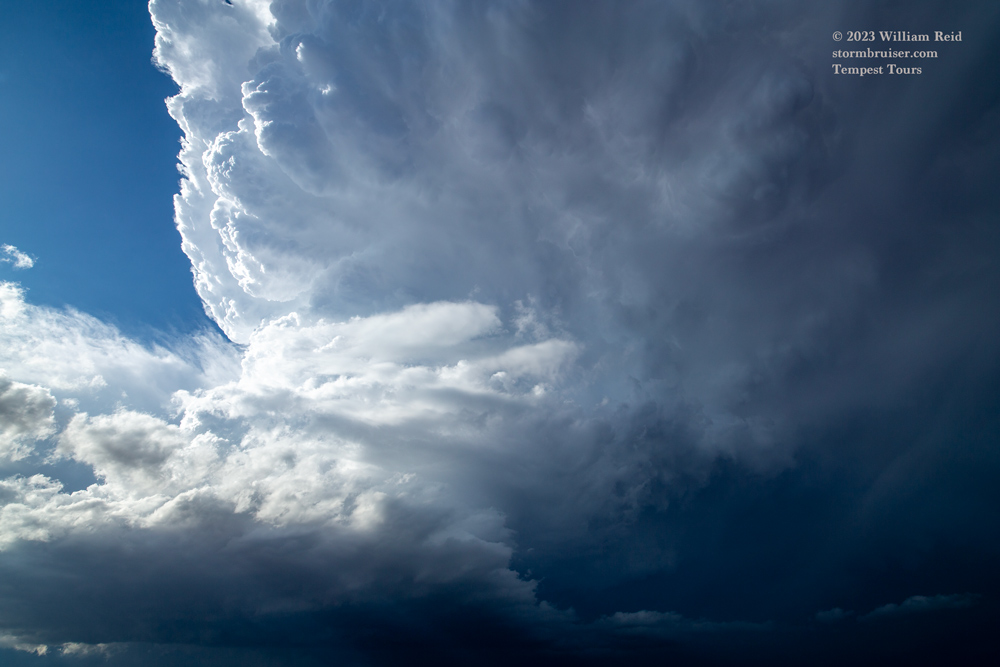

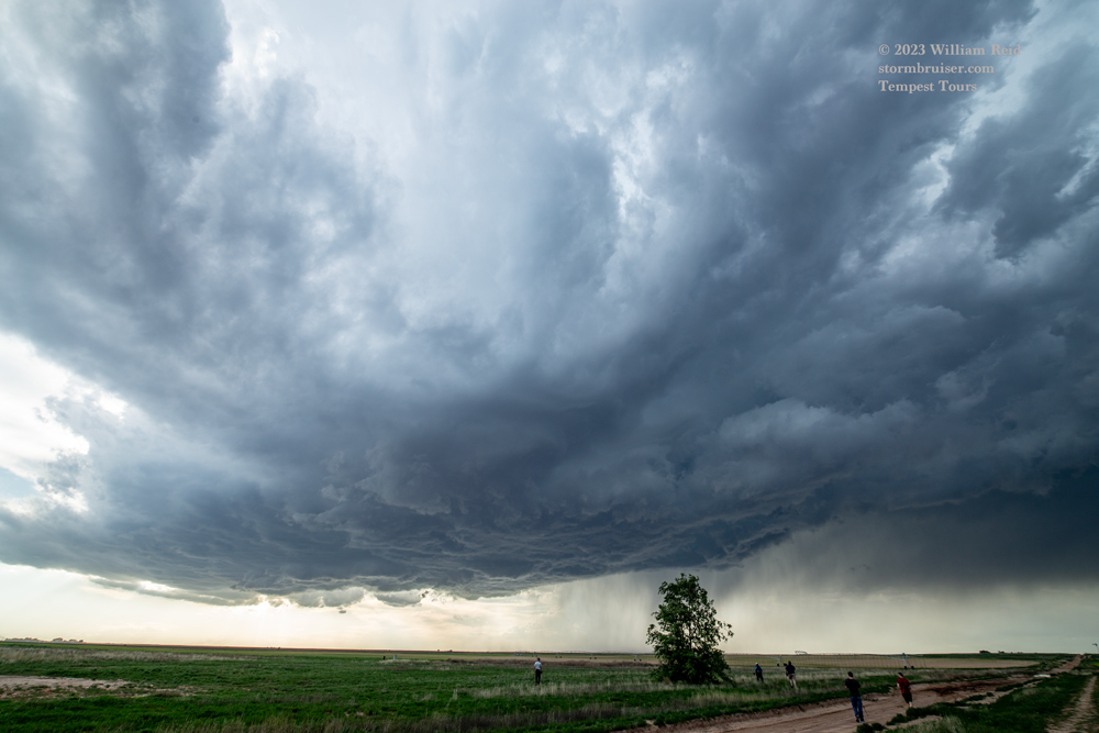
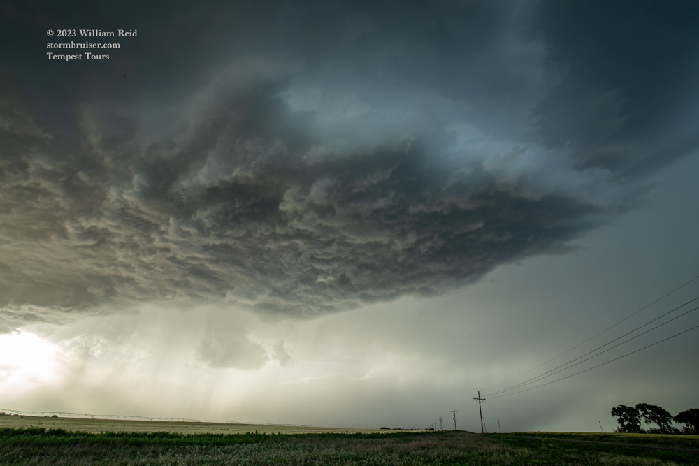
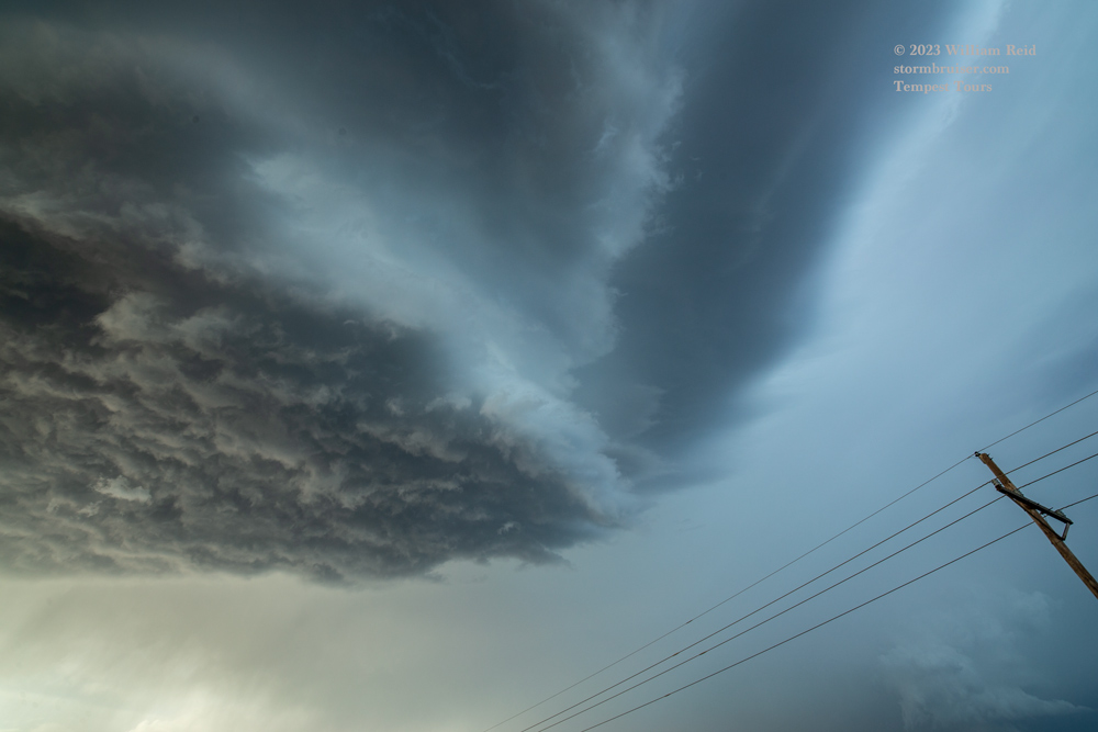
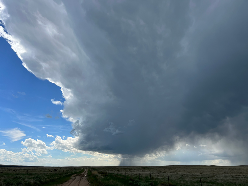
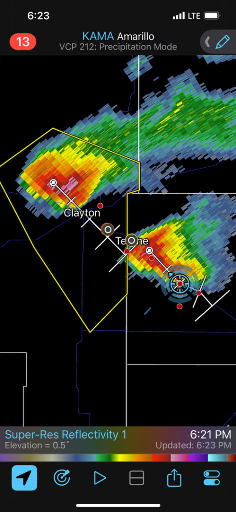
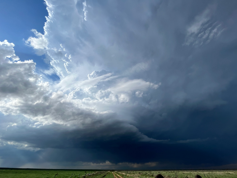
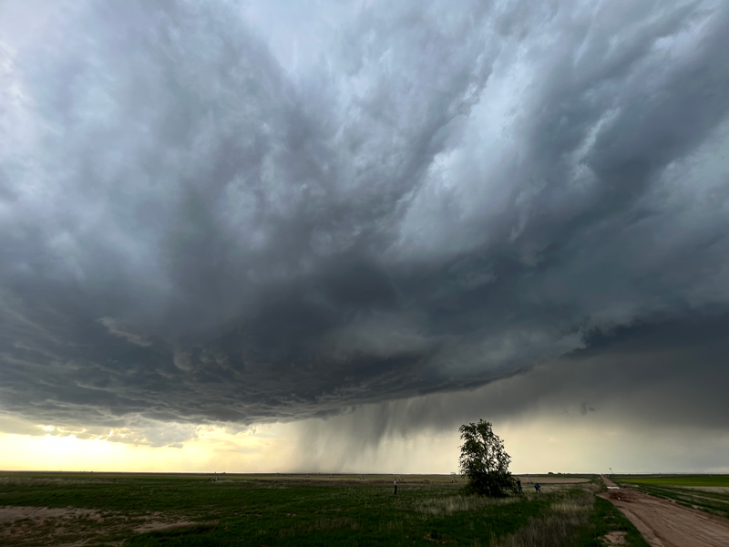
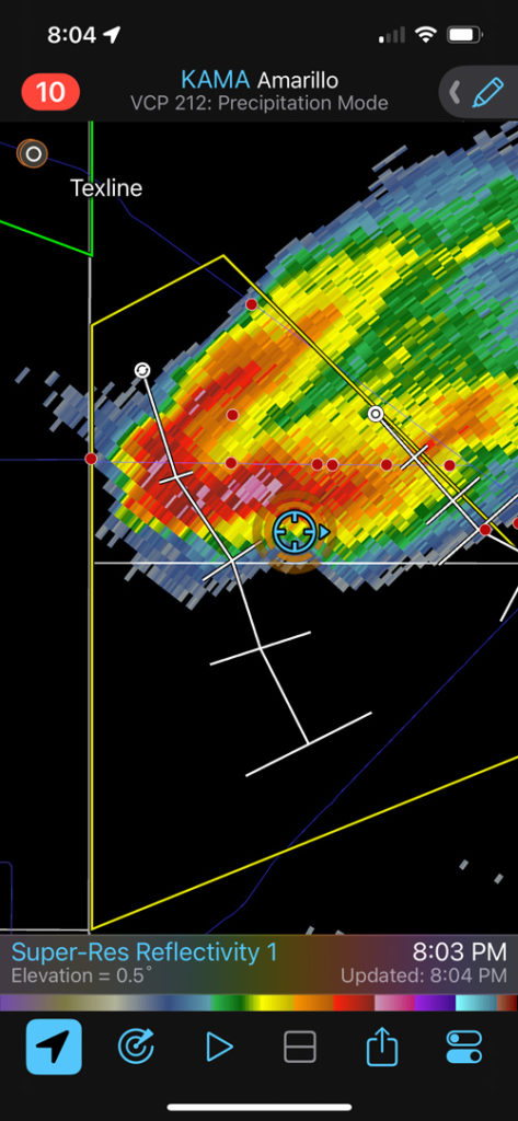
We were on the lead supercell between Texline and Dalhart a little after 7 p.m. CDT, but this one was not making me feel very warm and fuzzy inside. We went west maybe 15-20 miles to get in the path of the trailing supercell that was dropping more south-southeastward from Clayton. This one looked more robust, with a large and flat base and somewhat sculpted updraft.
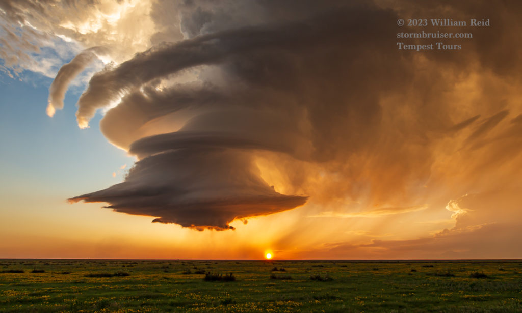
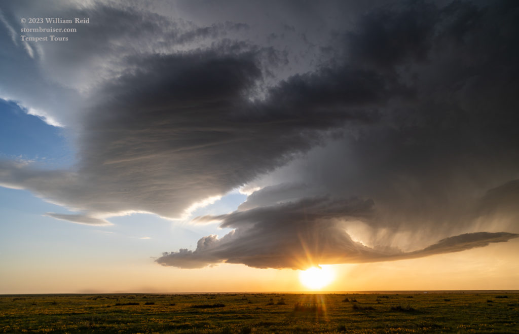
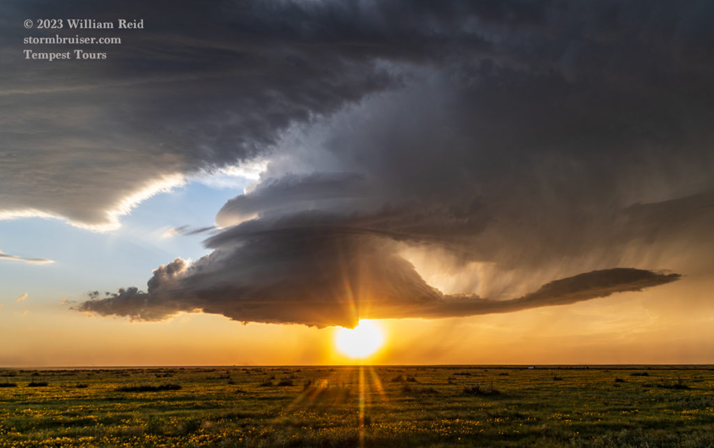
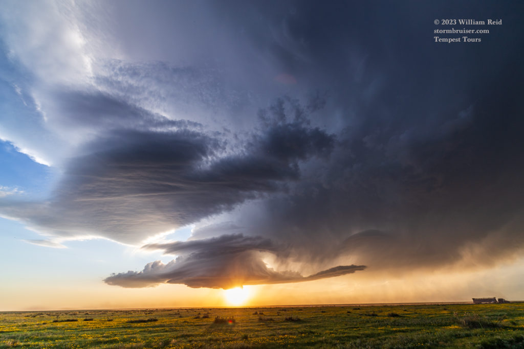
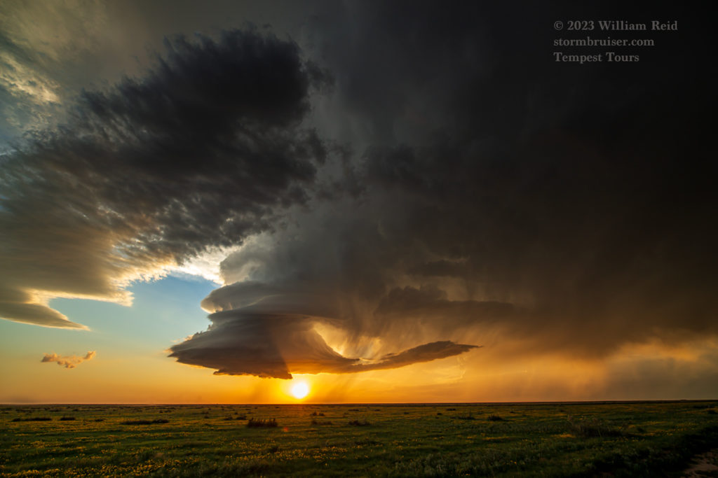
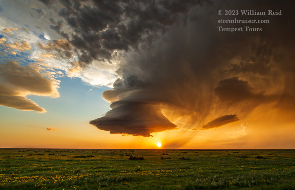
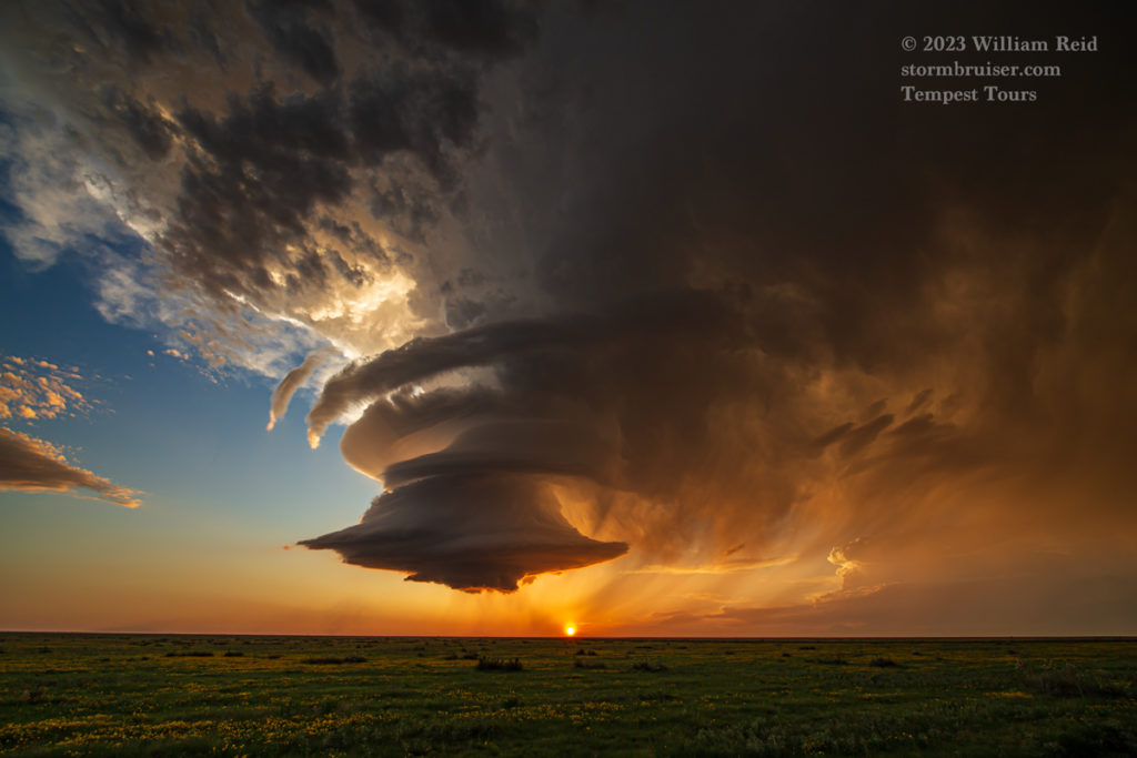
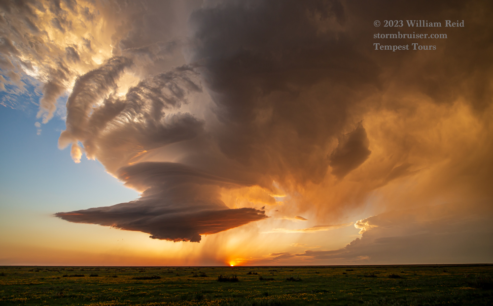
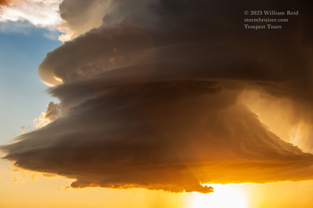
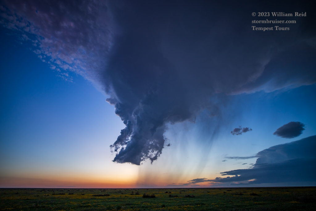
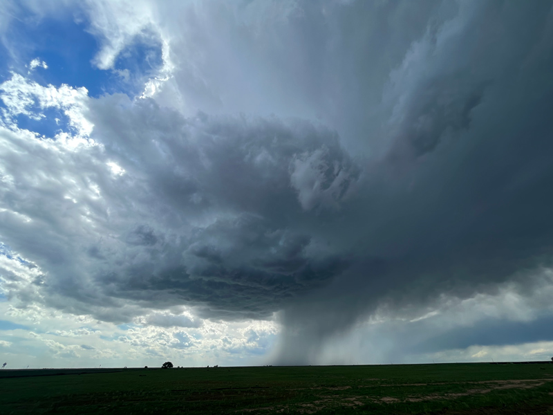
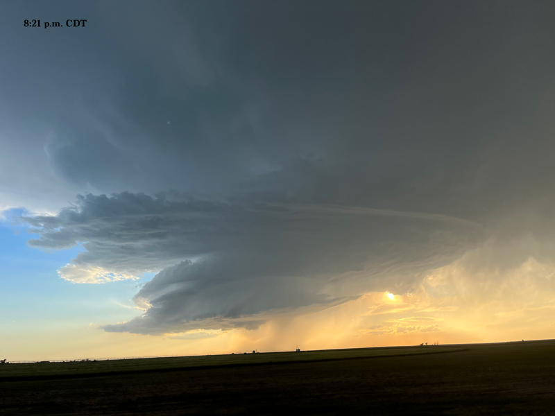
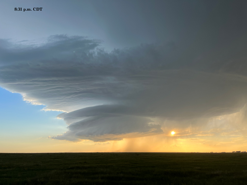
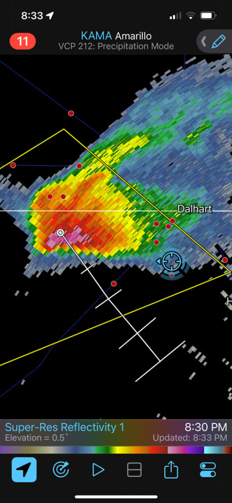
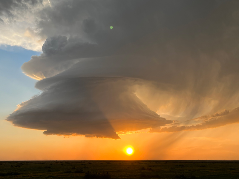
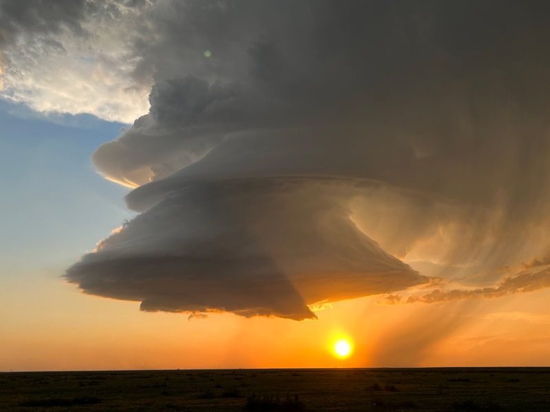
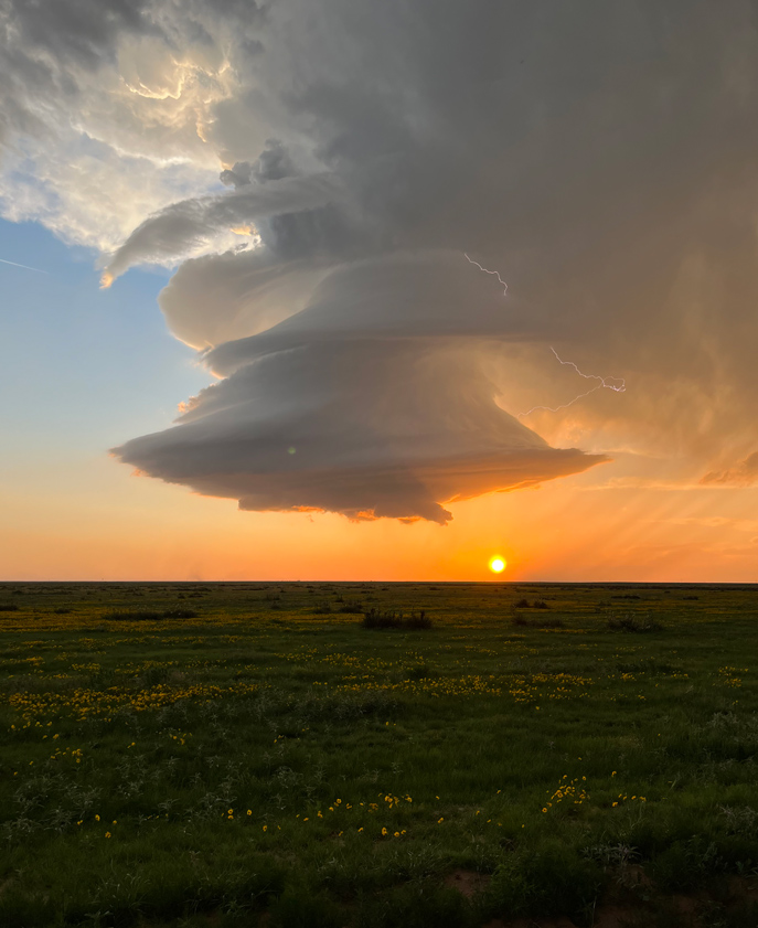
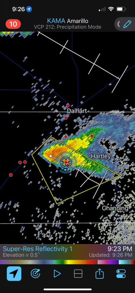
We were WNW of Dalhart by maybe 20 miles, and the road network to the south was bleak. The storm was moving along at maybe 25-30 mph. I had Matt and Richard take us back to the east on 1727, almost to Dalhart. Then we made our way south on FM 998 maybe 15 miles. I wanted to be right in front of this thing at sunset! Things worked out well, as the supercell morphed into a superb low-precipitation supercell with a classic spaceship-like updraft. Yes!
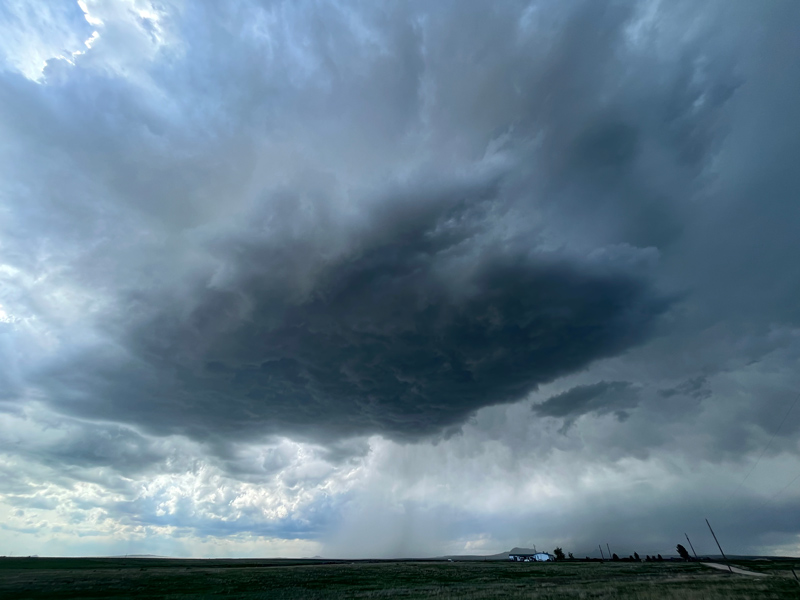
It looked great in the last light of the day, and it then quickly shriveled to nothing as rain started at our viewing site, some 15 miles or so SSW of Dalhart.
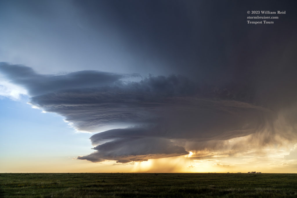
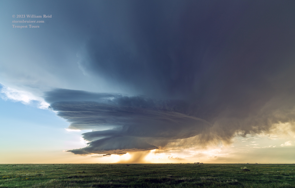

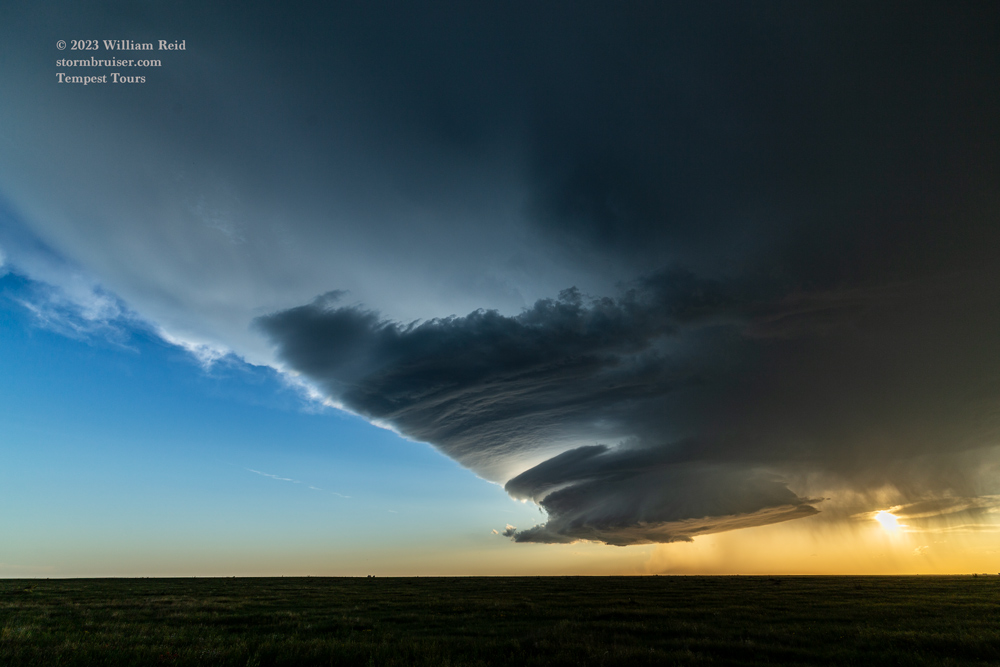







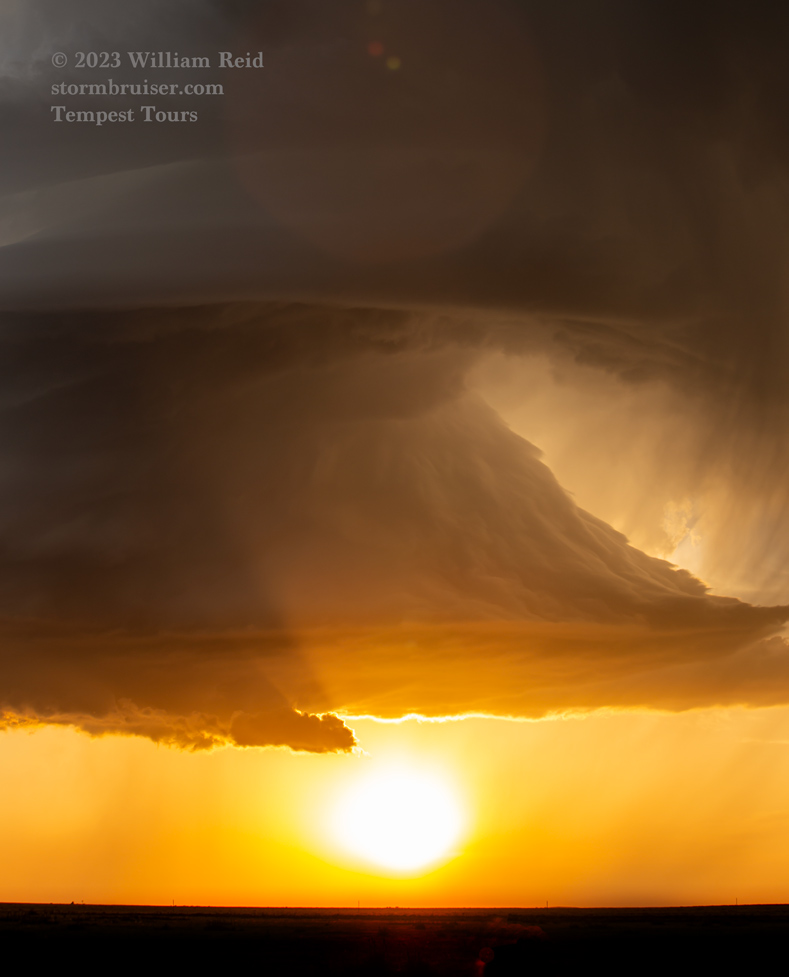
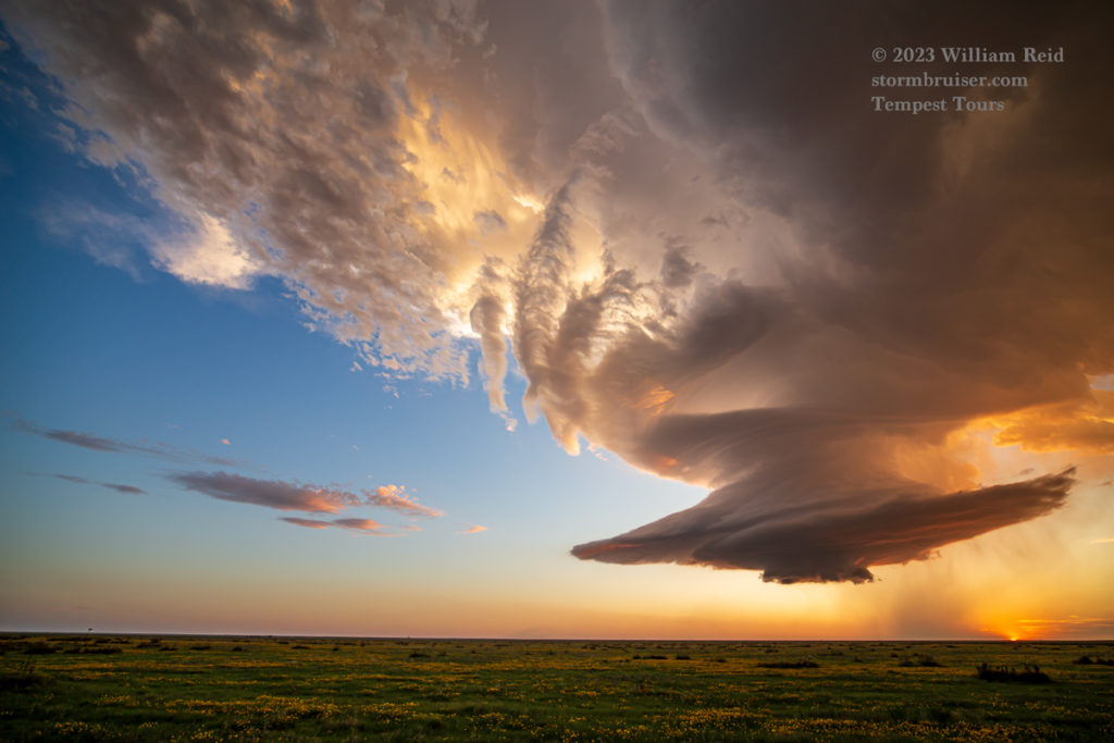


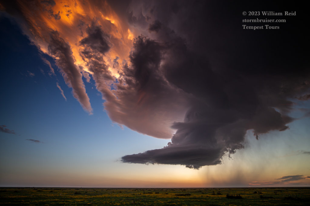
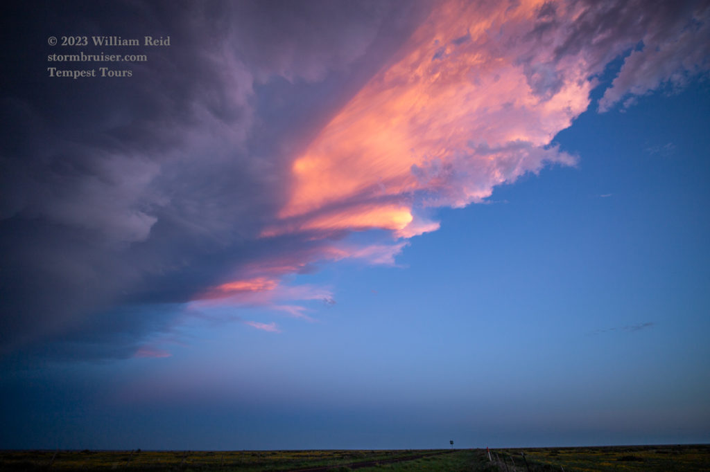
iPhone images and radar screen grabs below. These are in chronological order.













Leave a Reply
You must be logged in to post a comment.